The 5 Best Hiking Trails Near Palm Springs, From Desert Oases to the Hardest Day Hike in America
If you’ve got one question before you drive out to Palm Springs, “which trail is actually worth my time?”, here’s the short answer: start with Palm Canyon for the fastest payoff, add Tahquitz Canyon for a real waterfall with minimal effort, and only look at Cactus to Clouds if you’re the kind of hiker who trains for things.
Disclosure: Please note that some of the links below are affiliate links and at no additional cost to you, I may earn a commission. Know that I only recommend hiking gear I personally stand behind; when you use my affiliate links, it helps me run this blog and keep all of this content free of charge for readers (like you).
Palm Springs is a strange hiking town. It sits on the desert floor at around 450 ft, and the San Jacinto Mountains rise more than 10,000 ft directly behind it, so the same afternoon can put you in a shaded palm oasis and, two miles away, on a ridge that kills people who underestimate it.
This guide covers the five Hiking Trails Near Palm Springs that define hiking here: Palm Canyon and Murray Canyon inside the Agua Caliente Indian Canyons, Tahquitz Canyon a few minutes north, North Lykken Trail rising out of downtown, and Cactus to Clouds, which climbs from a museum parking lot to an alpine summit in one push.
I’ll give you the honest fee, distance, and safety picture for each, not the sanitized version. Working through Riverside County more broadly? My complete guide to Riverside County’s hiking trails shows how this fits with Idyllwild, Joshua Tree, and the rest of the county.
Key takeaways
- Fastest oasis payoff: Palm Canyon Trail, the world’s largest California fan palm oasis, inside 20 minutes, no real climb.
- Best surprise waterfall: Tahquitz Canyon Trail, a genuine 60-ft fall at the end of an easy loop, with real cultural history built in.
- Quietest of the tribal-land trails: Murray Canyon Trail, same fee as Palm Canyon, a fraction of the foot traffic.
- The only free trailhead here: North Lykken Trail, dead end of a downtown street, no ticket required.
- Hardest hike in the country, arguably: Cactus to Clouds, over 10,000 ft of climbing from a parking lot to a mountain summit.
- Permits aren’t really a factor here, except the very top of Cactus to Clouds, where a free self-issue permit kicks in above Long Valley. For how difficulty gets scored across trails like these.
Quick-glance comparison
| Trail | Distance (RT) | Elevation gain | Difficulty | Best for |
|---|---|---|---|---|
| Palm Canyon Trail | 2–3 mi (common turnaround) | Under 300 ft | Easy | Fastest oasis payoff |
| Tahquitz Canyon Trail | 1.8–2 mi loop | ~300–350 ft | Easy–moderate | A real waterfall, minimal effort |
| Murray Canyon Trail | ~4 mi | ~450–500 ft | Moderate | Solitude and stream crossings |
| North Lykken Trail | 4–4.5 mi | 1,500–1,750 ft | Hard | Free trailhead, huge views |
| Cactus to Clouds Trail | ~20–21 mi one-way | 10,000+ ft | Extreme | Bragging rights, serious training |
Indian Canyons: Palm Canyon Trail, the world’s largest fan palm oasis
Palm Canyon is where I send first-time visitors, full stop. It’s the flagship trail of the Indian Canyons, 31,500 acres of Agua Caliente tribal land south of downtown, and it earns that spot without asking much of you physically.
Trailhead access and parking at the Indian Canyons entrance (tribal land fee)
This is Agua Caliente Band of Cahuilla Indians land, not a state or national park, so the fee structure differs from everywhere else on this list: $12 adults, $7 seniors/students, $6 children 6–12, free with a U.S. military ID. Gates run 8 a.m. to 5 p.m., last vehicle at 4 p.m.
From July 5 through September 30, the canyons are open Friday through Sunday only, which matters right now, since we’re inside that window. Buy tickets at the toll gate on South Palm Canyon Drive.
Difficulty, distance, and elevation gain along Palm Canyon
I’ll push back on how this trail usually gets described: Palm Canyon technically runs 15 miles one-way to Highway 74, and a handful of serious backcountry hikers do the whole thing. Ignore that number for planning. What almost everyone actually hikes is a 2 to 3-mile round trip into the upper groves, under 300 ft of gain, a walk, not a workout.
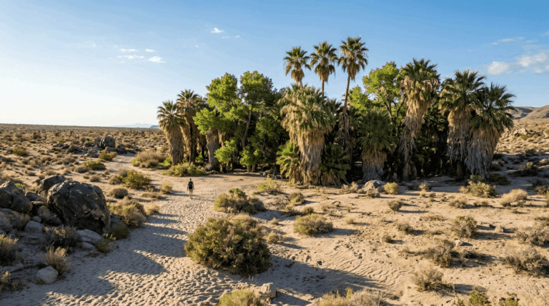
What you’ll see: the world’s largest fan palm oasis
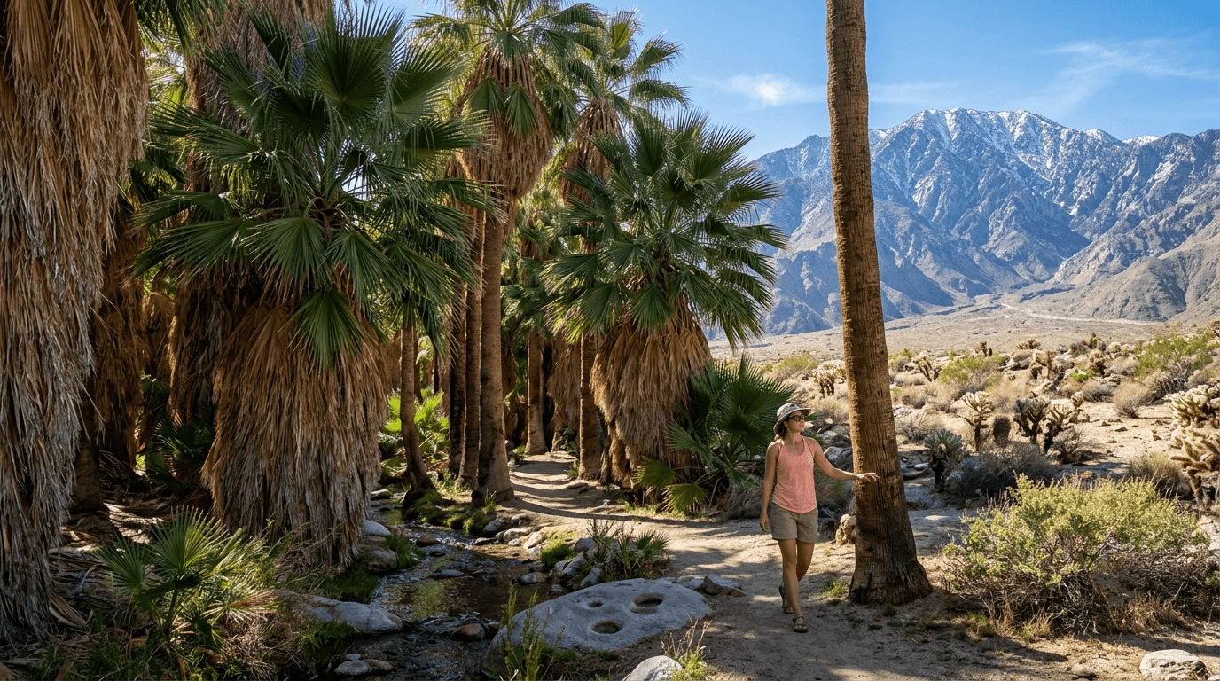
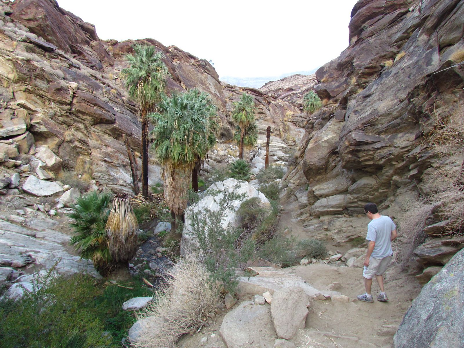
This canyon holds the largest naturally occurring stand of Washingtonia filifera, California fan palm, on Earth, spanning more than 3,000 acres. The trees run 50 to 65 ft tall, and the effect is immediate: sun-blasted desert on either side, then a cool green corridor with a year-round stream. Rock mortars near the creek mark where Cahuilla families once ground seeds, this canyon has been inhabited, not just admired, for a very long time.
Best time to hike Palm Canyon: cooler months, not summer
October through May is the real window. There’s minimal shade past the immediate grove, and summer afternoons here regularly clear 110°F. Set on a summer visit anyway? Arrive right at 8 a.m. and treat noon like a hard stop.
Tahquitz Canyon Trail: the waterfall hike with a story behind it
Tahquitz Canyon is a separate entrance a few minutes west of the Indian Canyons, the one trail here I’d recommend specifically for the story, not just the scenery.
Trailhead access and parking at the Tahquitz Canyon Visitor Center (guided-access fee)
The only trail here with a staffed check-in gate. Fees: $15 adults, $7 children, free for military, $125 annual pass. October 1–July 4: daily, 7:30 a.m.–5 p.m. (last hiker 3:30 p.m.). July 5–September 30: Friday through Sunday only, the same restricted summer schedule as Indian Canyons, currently in effect. No dogs.
Difficulty, distance, and elevation gain to Tahquitz Falls
Budget 1.8 to 2 miles round trip, roughly 300 to 350 ft of gain, easy on paper, but genuinely rocky, with natural stone steps up to 15 inches high. Sturdy shoes matter more here than the mileage suggests.
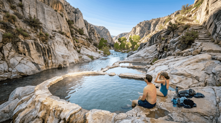
What you’ll see: a 60-foot waterfall and Cahuilla cultural history
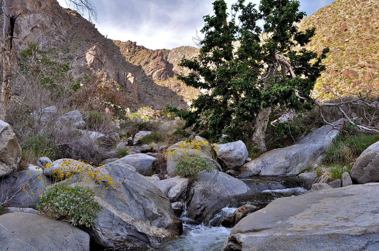
Tahquitz Falls drops 60 ft into a pool at the head of the canyon, a real waterfall, not a trickle. It’s named for Tahquitz, a spirit figure from Agua Caliente Cahuilla oral tradition, and the site is listed on the National Register of Historic Places. Guided tours from the visitor center go deeper into that history than hiking solo will.
Best time to hike Tahquitz Canyon: when the falls are actually running
The falls are seasonal, winter and spring rain and snowmelt off the San Jacintos. Visit December through April for real flow; by mid-summer they often reduce to a trickle or run dry. Combined with the Fri–Sun-only summer schedule, winter and spring are simply the better plan.
Murray Canyon Trail: the quiet Indian Canyons alternative
If Palm Canyon feels crowded, and on a weekend, it will, Murray Canyon is the fix. Same entrance, same fee, dramatically fewer people.
Trailhead access and parking inside the Indian Canyons area
Murray Canyon shares its trailhead with Andreas Canyon at the south end of the access road, so your Indian Canyons ticket covers this too. From the lot, walk about half a mile across open desert before entering the canyon itself.
Difficulty, distance, and elevation gain to the seasonal falls
A 4-mile round trip with about 450 to 500 ft of gain, moderate, mostly from roughly 10 stream crossings rather than the climbing. Wear shoes you don’t mind getting wet.
What you’ll see: a quieter palm oasis and Seven Sisters Falls
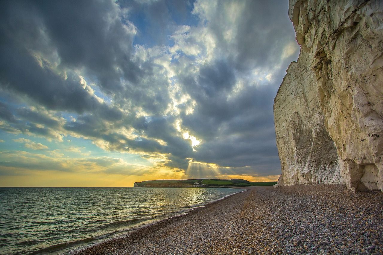
The payoff is Seven Sisters Falls, a 12-ft cascade named for the rock formations around it, smaller than Tahquitz Falls, but reached through a genuinely secluded canyon of fan palms, sycamores, and cottonwoods. Decent bighorn sheep territory, too; keep your distance if you spot one.
Best time to hike Murray Canyon: fewer crowds than Palm Canyon, any season
Winter and spring give the strongest waterfall flow, since the creek is seasonal and often dry by midsummer. Even in the shoulder seasons, though, Murray Canyon runs noticeably emptier than Palm Canyon on the same ticket, my pick if solitude matters more than the biggest-name oasis.
North Lykken Trail: the only free hike on this list
North Lykken is the trail I send people to when they don’t want to pay a tribal-land or visitor-center fee but still want a real workout with a payoff.
Trailhead access and parking at the North Lykken trailhead, downtown Palm Springs
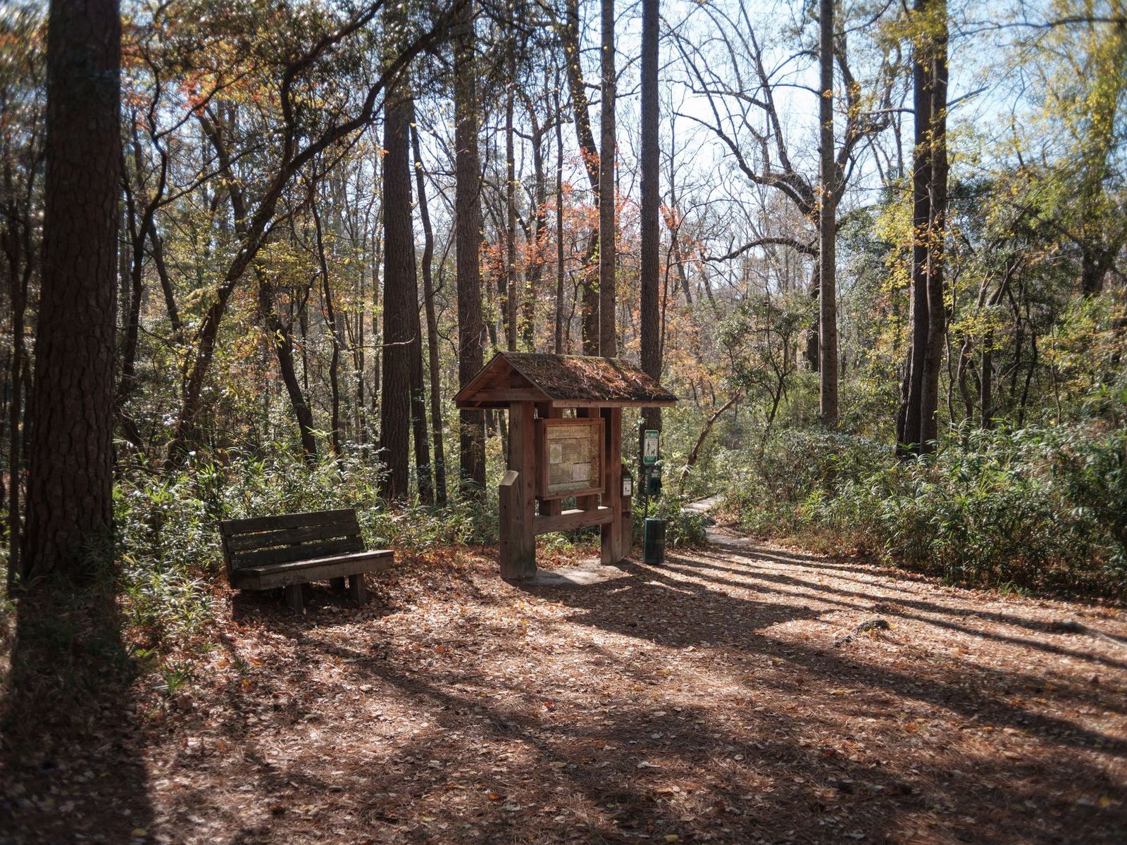
The trailhead sits at the dead end of West Ramon Road, free unpaved-lot parking, no ticket, the only fully free access point in this post. You can also start from the Palm Springs Art Museum via the connecting Museum Trail, but don’t park in the museum’s own lot; rangers ticket hikers who do. Park on the street instead.
Difficulty, distance, and elevation gain on the North Lykken Trail
Figures vary by connector, so here’s the honest range: the popular Museum Trail–North Lykken loop clusters around 4 to 4.5 miles round trip with 1,500 to 1,750 ft of gain, genuinely strenuous for the distance, on a rocky, exposed, south-facing slope.
What you’ll see: downtown Palm Springs and the Coachella Valley from above
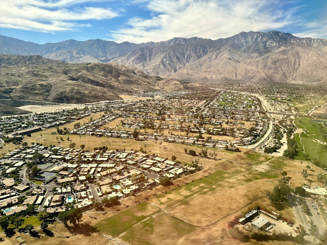
The only trail here with a true urban vantage, the grid of downtown below, then the full floor of the Coachella Valley beyond it. Watch for desert bighorn sheep on the exposed rock above the switchbacks; they turn up here more than anywhere else on this list.
Best time to hike North Lykken: early morning, before the rock exposure heats up
That south-facing granite holds heat like a skillet. October through March is the comfortable window; set on summer, be moving before sunrise.
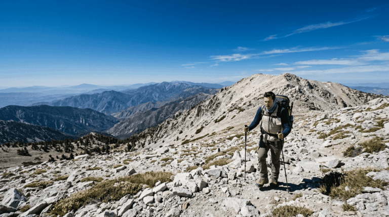
Cactus to Clouds Trail: one of America’s toughest day hikes, starting from a parking lot
This is the trail people fly to Palm Springs to attempt. It deserves the reputation, and it isn’t a first hike in the desert.
Trailhead access and parking at the Palm Springs Art Museum trailhead
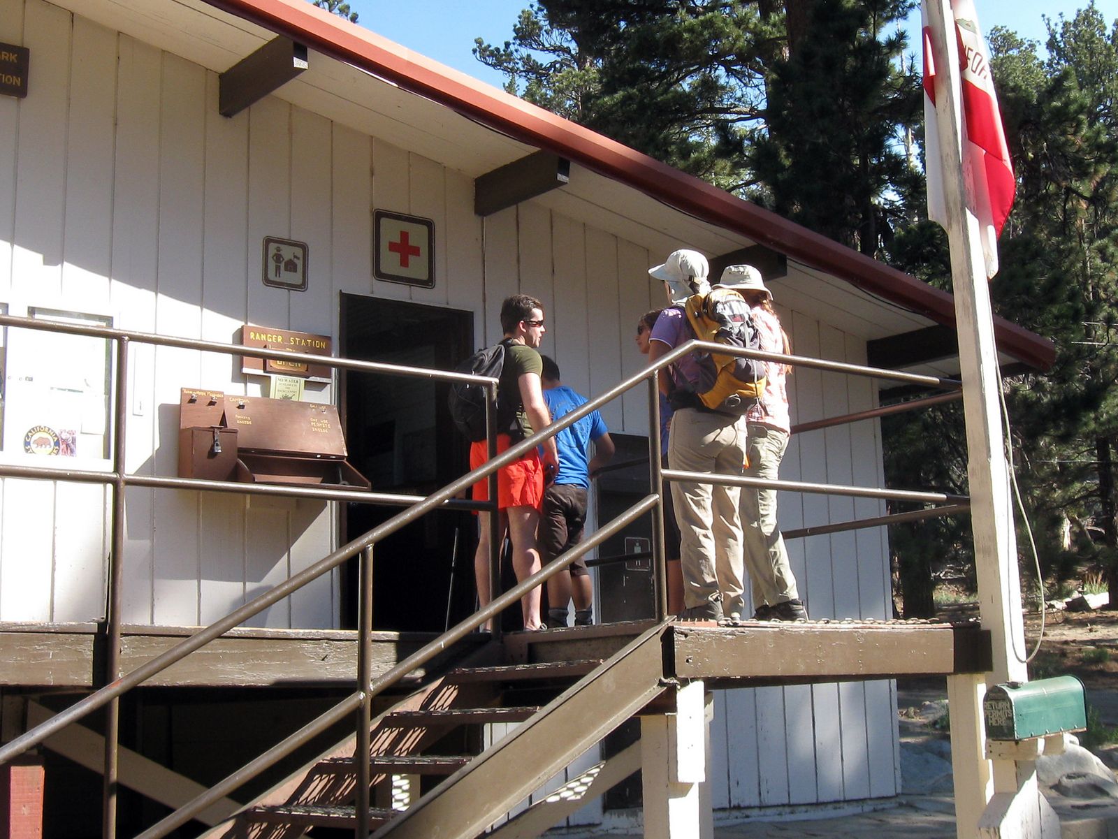
The trailhead sits behind the Palm Springs Art Museum at 101 N. Belardo Rd, free street parking, not in the museum’s own lot. Above Long Valley, near the tramway’s mountain station, you’ll also need a free self-issue wilderness permit, picked up at the Long Valley Ranger Station on your way through.
Difficulty, distance, and elevation gain: one of America’s toughest day hikes
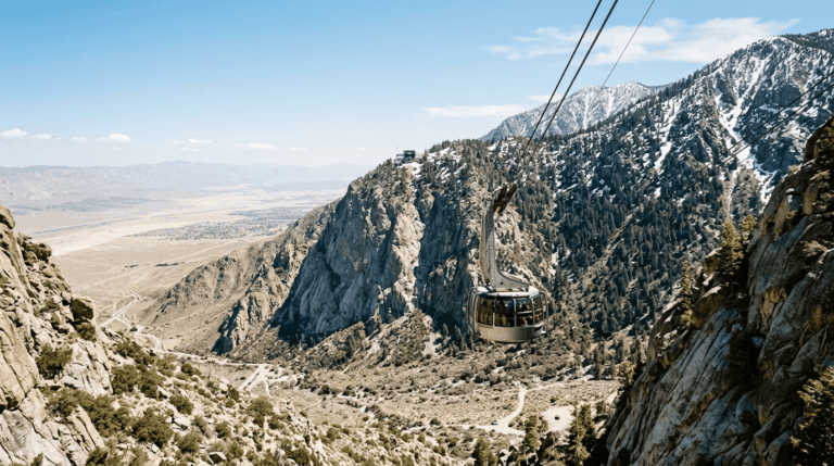
Starting elevation is about 450 to 520 ft; San Jacinto Peak’s summit sits at 10,834 ft. California State Parks calls the route roughly 21 miles with 10,000+ ft of gain; other sources put it at 19 to 20 miles one-way, with about 8,000 ft of that packed into the first 11 to 12 miles. Either way, nearly everyone treats it as one-way, riding the Palm Springs Aerial Tramway back down rather than retracing 20 miles on foot.
What you’ll see: every climate zone from desert floor to alpine forest
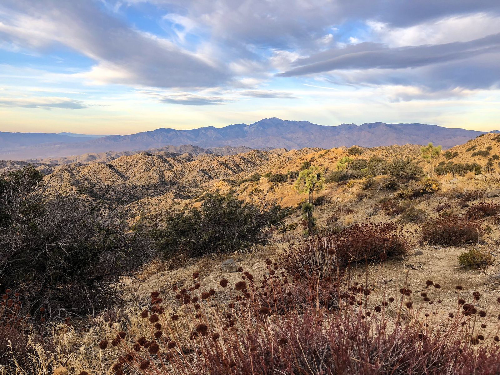
This is the most distinctive thing about Cactus to Clouds: you start among creosote bush and barrel cactus on the desert floor, and by Long Valley you’re walking through pine forest that would look at home in the Sierra Nevada. No other trail in this post compresses that many ecological zones into one continuous route.
Best time to hike Cactus to Clouds: before dawn, cool season only
Most experienced hikers start between 2 and 4 a.m. to clear the exposed lower switchbacks before sunrise heat. This isn’t overcaution, people have died within a mile of this trailhead from heat exhaustion, and rescues happen most summers. As of this week, the Coachella Valley is under an active Extreme Heat Warning with highs in the low 110s, close to the conditions that pushed California State Parks to fully close this trail in July 2024.
I wouldn’t attempt it under a warning like the current one. Check the status with the park or @mountsanjacintosp before you commit, and if the summit is the real goal rather than the suffering, my guide to Idyllwild’s trails covers Devil’s Slide Trail, same peak, 2,600 ft of gain instead of 10,000.
The trail I’d actually start with
If you’ve only got one morning here, hike Palm Canyon first, not because it’s the hardest, but because it teaches you the shape of hiking in Palm Springs: desert heat, a fee-gated tribal trailhead, and a payoff disproportionate to the effort.
From there, Tahquitz and Murray Canyon feel like natural next steps on the same ticket, and North Lykken is the move once you want a real workout for free. Cactus to Clouds sits in its own category, respect it, train for it, and don’t let a first trip here talk you into it under a heat warning.
None of these five carry the oasis-hopping through-route that Joshua Tree’s desert trails do. For more of this same fan-palm theme at a bigger scale, my guide to the best hiking trails near Joshua Tree is worth bookmarking next. And if heat management isn’t already dialed in for you, my weather hazards on California trails cover the specifics, worth reading before a summer desert hike, not after.
Frequently asked questions
What are the best hiking trails in Palm Springs?
Palm Canyon, Tahquitz Canyon, and Murray Canyon inside the Indian Canyons cover the easiest, most scenic ground. North Lykken Trail is the best free option with real elevation. Cactus to Clouds is for serious, trained hikers chasing one of the hardest day hikes in the country.
Is the Cactus to Clouds hike the hardest hike in America?
One of the strongest candidates. With more than 10,000 ft of gain from a parking lot to an alpine summit, it’s frequently cited as having the greatest elevation gain of any U.S. day hike. “Hardest” depends on your metric, but on sustained vertical gain, few trails come close.
Do you need a permit to hike Indian Canyons?
No formal permit, just a paid day-use ticket ($12 for adults), bought at the entrance gate, covering both Palm Canyon and Murray Canyon. The only actual permit in this post is the free self-issue wilderness permit above Long Valley on Cactus to Clouds.
Is there always water at Tahquitz Falls?
No. The falls run strongest from winter rain and spring snowmelt, roughly December through April. By mid-to-late summer, flow often reduces to a trickle or stops, so plan for the cooler months if seeing real water matters to you.
Is it safe to hike in Palm Springs in summer?
Only with real precautions, and not on the harder trails. Stick to early starts, carry far more water than feels necessary, and skip Cactus to Clouds during heat warnings, it’s been closed by California State Parks before, and hikers have died near its trailhead.
Which Palm Springs hike is least crowded?
Murray Canyon, by a clear margin. It shares an entrance fee and trailhead area with the much busier Palm Canyon and Andreas Canyon, but draws a fraction of the foot traffic for a comparable payoff at Seven Sisters Falls.