Hedge Creek & McCloud Falls Hiking Guide
There is a waterfall in Dunsmuir that you can practically see from the freeway exit, and most drivers still roll…
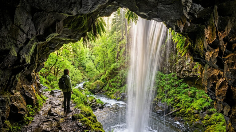
There is a waterfall in Dunsmuir that you can practically see from the freeway exit, and most drivers still roll…
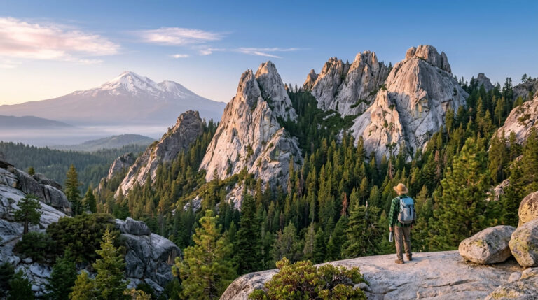
Drive north on Interstate 5 above Shasta Lake and the landscape changes its mind. The Sacramento River squeezes into a…
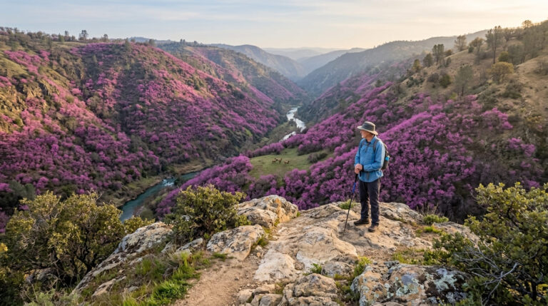
Yolo County pairs UC Davis’s large, active outdoor community with Coast Range canyon hiking and some of the best winter…
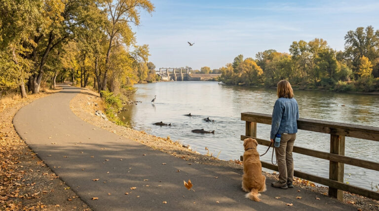
Tehama County straddles the Sacramento Valley floor and the foothills of the southern Cascades, with Red Bluff as its county…
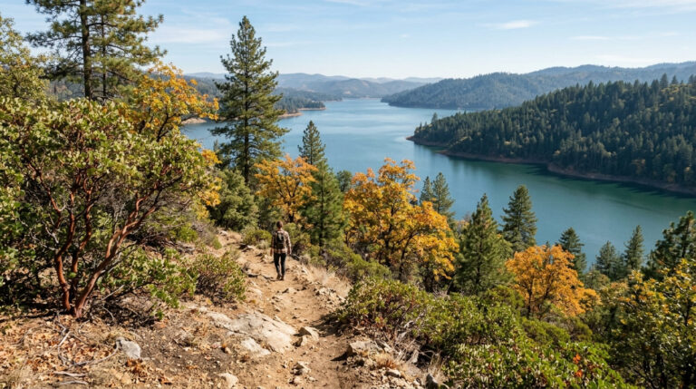
Yuba County runs from Gold Rush-era Marysville up into the Sierra Nevada foothills, where Bullards Bar Reservoir’s 55 miles of…
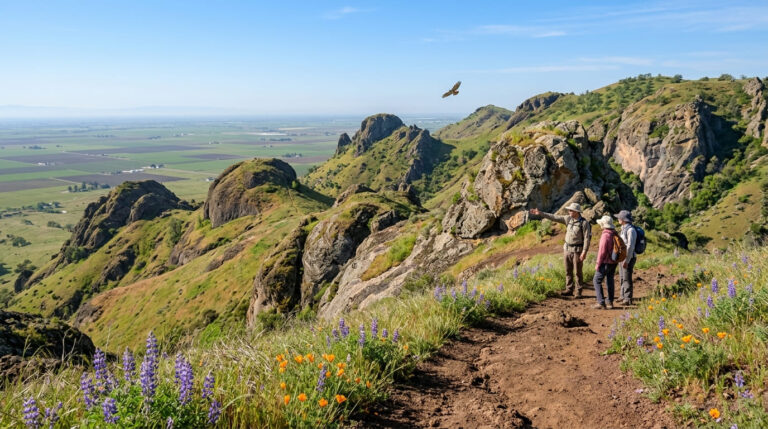
Sutter County is flat Sacramento Valley farmland surrounding a bizarre geological feature: the Sutter Buttes, widely called the world’s smallest…
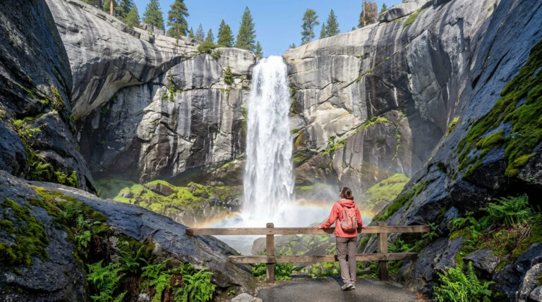
Plumas County holds one of the largest national forests in the Sierra Nevada, a dramatic 3,000-foot-deep river canyon, and a…
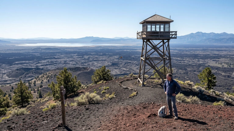
Modoc County, in California’s remote northeastern corner, is the state’s least-visited county, with fewer than 9,000 residents spread across a…
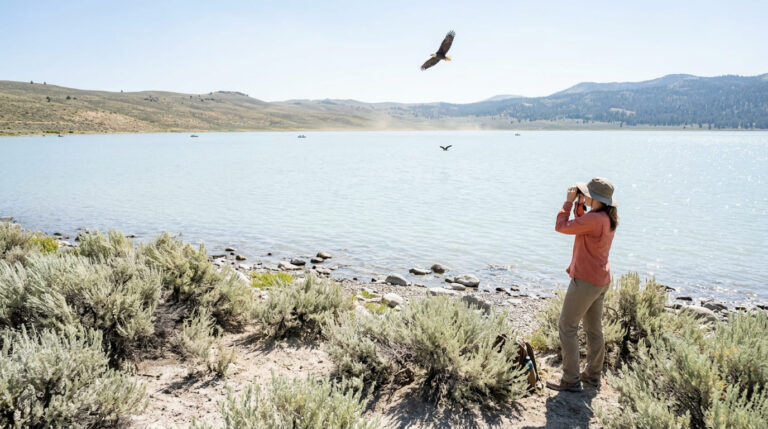
Lassen County sits on a high desert plateau in California’s remote northeastern corner, between 4,000 and 8,000 ft elevation, anchored…
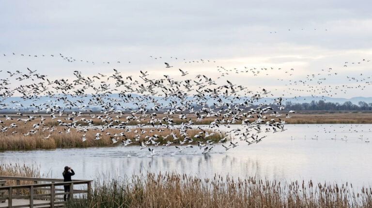
Colusa County is flat Sacramento Valley farmland at first glance, but those searching for Hiking Trails in Colusa County will…
