Hiking Trails in Sutter County, California: Complete Trail Guide
Sutter County is flat Sacramento Valley farmland surrounding a bizarre geological feature: the Sutter Buttes, widely called the world’s smallest mountain range, rising abruptly from the valley floor with no foothills or transition zone at all.
Disclosure: Please note that some of the links below are affiliate links and at no additional cost to you, I may earn a commission. Know that I only recommend hiking gear I personally stand behind; when you use my affiliate links, it helps me run this blog and keep all of this content free of charge for readers (like you).
I’ve spent four-plus years cataloging trails across this state, and when exploring hiking trails in Sutter County, the Buttes are exactly the kind of place that surprises people who assume the entire Sacramento Valley is uniformly flat, right up until they see a 2,000-foot volcanic peak cluster rising out of nowhere, visible from miles away in every direction. This guide covers the Buttes, the local wildlife refuge, and Yuba City’s riverside trail.
Key takeaways:
- Sutter County’s signature feature is the Sutter Buttes, a 10-mile-wide volcanic formation often called the world’s smallest mountain range, topping out at South Butte’s 2,122 ft summit.
- The Buttes are almost entirely private land; the only legal way in is a guided hike through Middle Mountain Interpretive Hikes, offered late October through mid-May, around $45 per person.
- Sutter National Wildlife Refuge, near Meridian, offers free levee-road walking with strong Pacific Flyway waterfowl viewing October through February.
- Sacramento NWR (in nearby Glenn County) makes a reasonable day trip from Yuba City, though it’s not entirely free as sometimes described: a nominal entrance fee applies.
- Feather River Nature Area in Yuba City offers 3 flat, paved miles along the river, free and open year-round.
Hiking in Sutter County: the world’s smallest mountain range and valley trails
Sutter County is a Sacramento Valley agricultural county built around the Sutter Buttes (Histum Yani, a sacred site to the Maidu people) alongside nearby wildlife refuge access and Feather River trails through Yuba City, the county seat.
Beyond the Buttes themselves, most of the county’s terrain is flat, irrigated farmland, which is part of what makes the volcanic formation feel so out of place when you actually see it up close. Sutter County’s eastern edge borders the hiking trails in Yuba County, sharing the same stretch of the Feather River.
Sutter Buttes: the world’s smallest mountain range
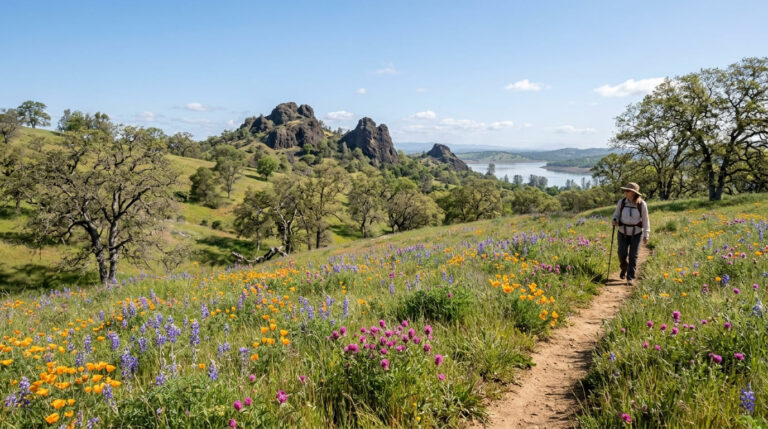
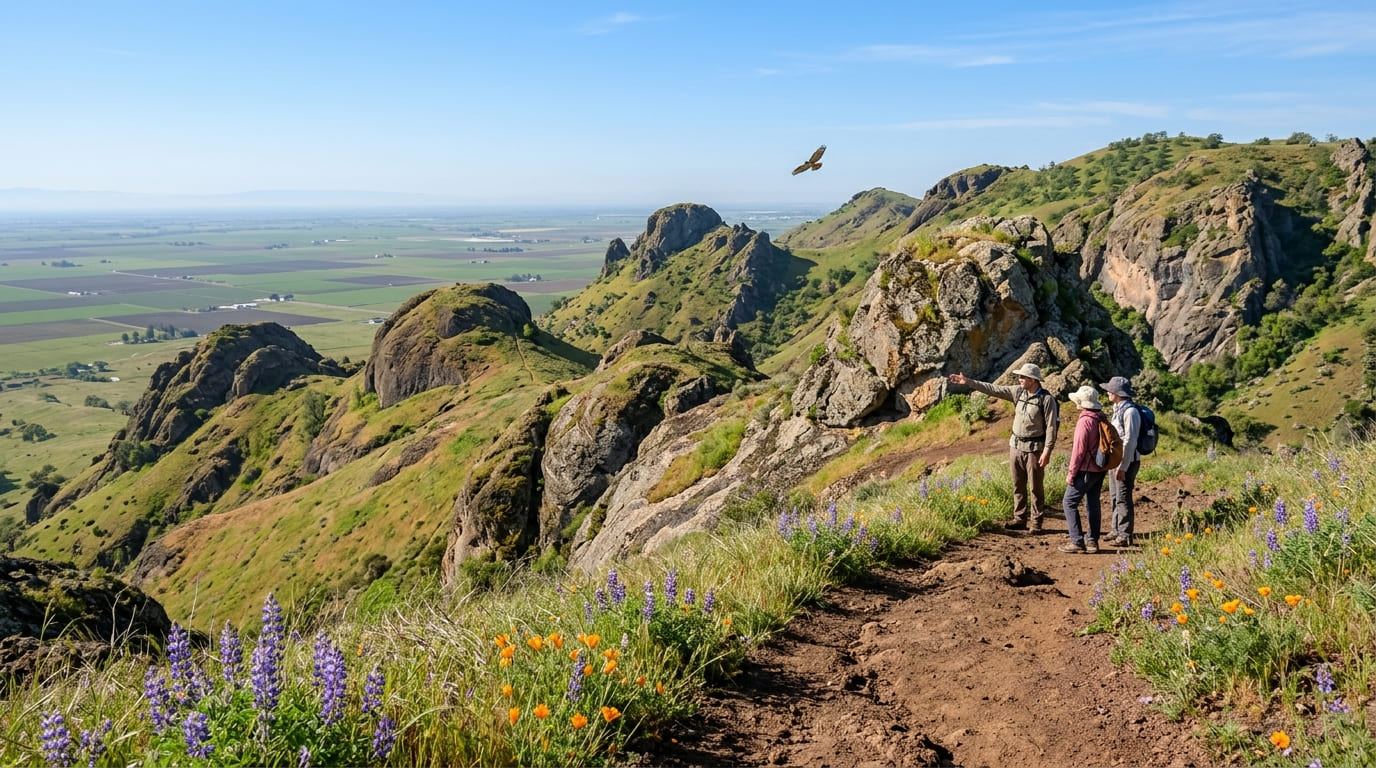
The Sutter Buttes are a roughly 10-mile-wide cluster of eroded volcanic domes, formed by activity that ceased about 1.4 million years ago, rising as much as 2,122 ft above the flat Sacramento Valley at South Butte, also the highest point in Sutter County itself.
Almost the entire formation sits on private agricultural land; there are no public trails, picnic areas, or parks anywhere within the Buttes themselves, which is part of what makes them feel mysterious compared to almost any other named California mountain range you could drive up and hike freely.
Middle Mountain Interpretive Hikes: the only way into the Sutter Buttes
Middle Mountain Interpretive Hikes (also known as the Middle Mountain Foundation) holds contractual access agreements with private landowners and runs the only legal guided hikes into the Buttes’ interior, typically 2 to 6 hours long, around $45 per person, covering both the geology and Maidu cultural history of the range along the way. The season runs late October through mid-May, timed around landowner permissions and nesting-bird sensitivity during summer.
Reservations are required, and hikes sell out months in advance, especially during spring wildflower season. Book at middlemountainhikes.org well ahead of your planned visit, and note that pets aren’t permitted. If you can’t secure a spot, the public Pass Road offers a scenic, no-reservation drive through the Buttes’ southern edge, and a roughly 45-mile loop of county roads circles the entire formation for photography from a distance, a reasonable consolation if guided spots are sold out for your travel dates.
Best nature trails at Sacramento NWR, Sutter County area
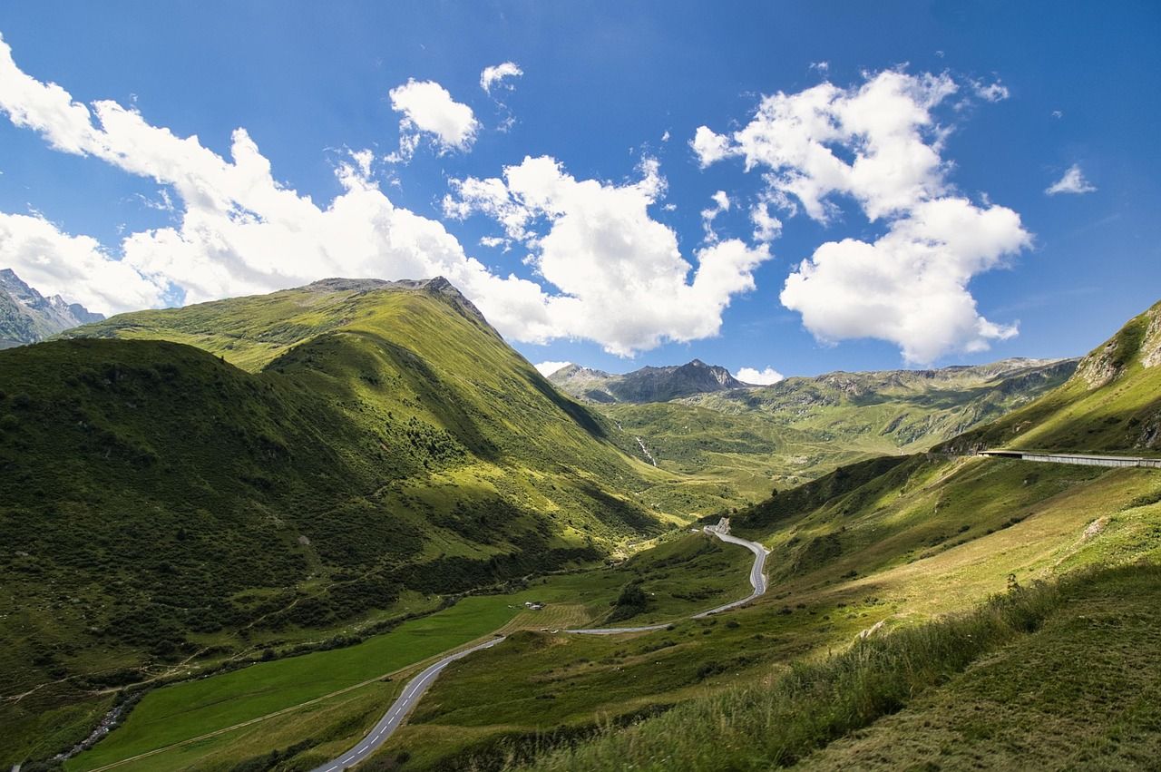
Sacramento National Wildlife Refuge sits near Willows in neighboring Glenn County, but it’s a realistic day trip from Yuba City and one of the best waterfowl-viewing destinations on the entire Pacific Flyway, with a 6-mile auto tour and the roughly 1.6-to-2-mile Wetland Walk trail system departing from the visitor center.
October through February brings peak migration, with duck and goose numbers that can run into the hundreds of thousands in a strong year. A nominal entrance and parking fee applies via a self-pay kiosk; it’s inexpensive, but not free as some older write-ups describe.
Sutter NWR: Sutter County’s best local wildlife walking area
Closer to home, Sutter National Wildlife Refuge near Meridian protects about 2,591 acres of Pacific Flyway wetland, featuring seasonal walking trails open to the public from February 15 through June 30.
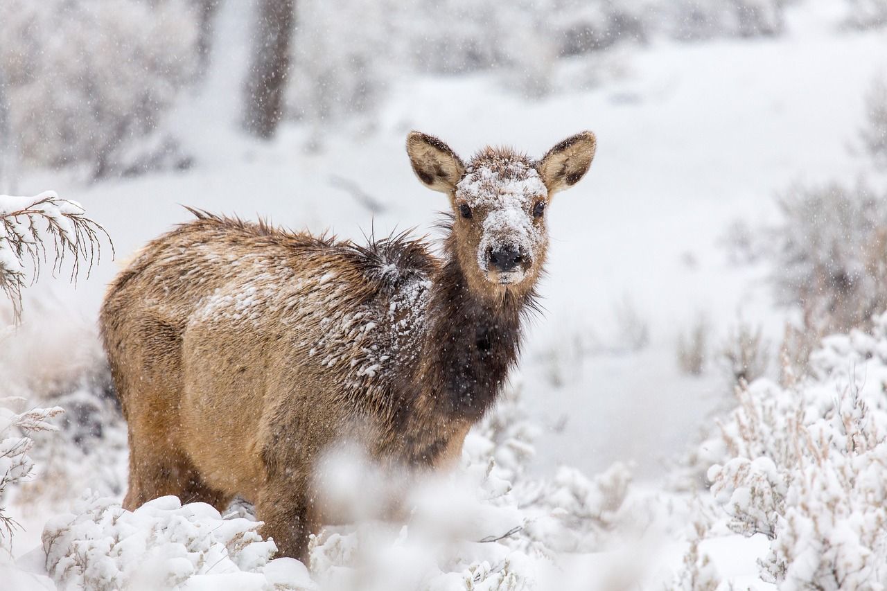
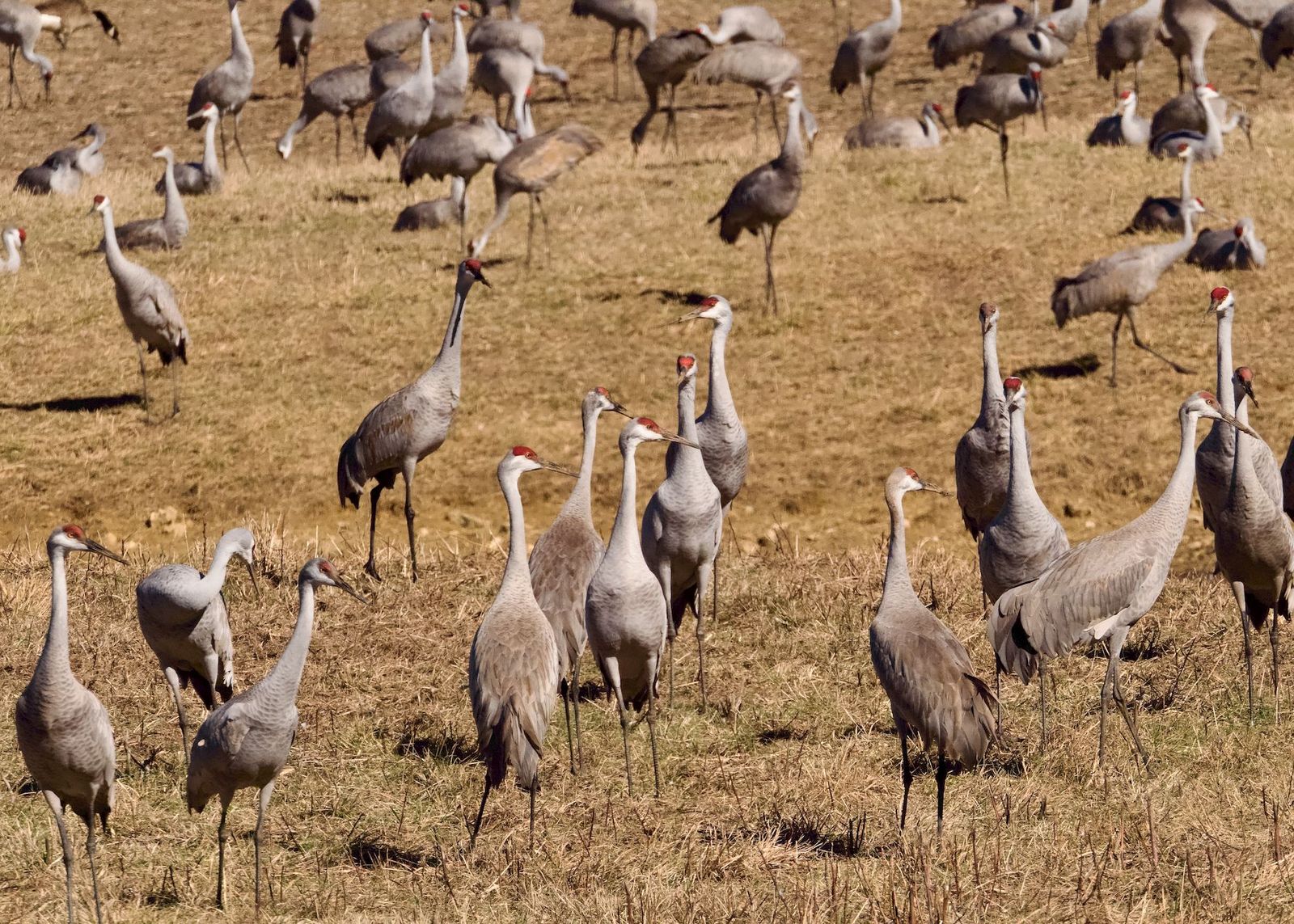
Snow geese, pintails, and sandhill cranes stage here October through February; access is via Oswald Road off Highway 99, and it’s free with no facilities on site, so bring your own water and be prepared for a no-frills experience.
Best hiking trails along the Feather River, Sutter County
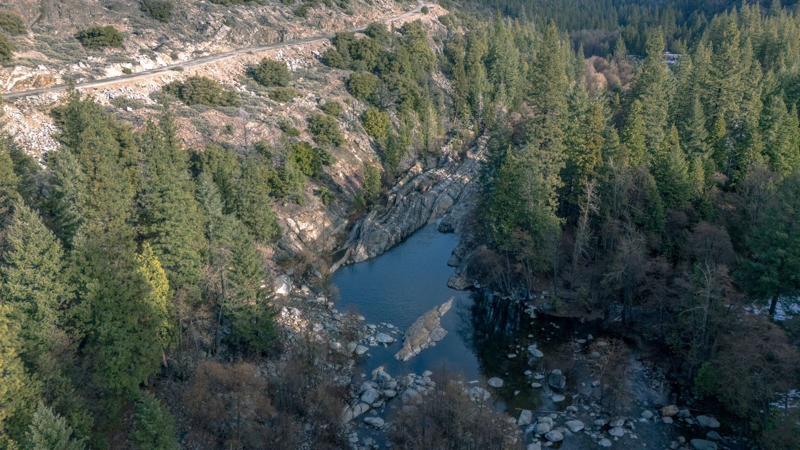
The Feather River runs along Sutter County’s eastern edge near Live Oak, with the county’s best local trail access concentrated in Yuba City itself.
Feather River Nature Area: Yuba City’s best easy riverside walk
This flat, 3-mile paved multiuse trail follows the river through cottonwood and willow riparian habitat, with a great blue heron rookery nesting February through June.
Give the nest trees distance during that window rather than approaching for a closer look, since disturbance can cause adults to abandon active nests. Beaver activity is often visible in the form of dams along quieter stretches of the river.
It’s free, open year-round from the Sunsweet Boulevard trailhead, and dogs are welcome on leash: a solid daily-walk option for Yuba City residents rather than just an occasional destination.
If you’re building broader hiking skills, our beginner’s guide to hiking trails is a solid starting point, and our Leave No Trace guide is especially relevant given how ecologically and culturally sensitive the Sutter Buttes themselves are.
Frequently asked questions: hiking trails in Sutter County
Can I hike in the Sutter Buttes on my own?
No, the Buttes are almost entirely private land with no public trails; the only legal access is a guided hike through Middle Mountain Interpretive Hikes.
How do I book a guided hike in the Sutter Buttes?
Reserve at middlemountainhikes.org; hikes run late October through mid-May, cost around $45 per person, and sell out well in advance, especially during spring wildflower season.
What is special about the Sutter Buttes in Sutter County?
They’re a roughly 10-mile-wide cluster of volcanic domes rising abruptly from the flat Sacramento Valley floor, often called the world’s smallest mountain range, and sacred to the Maidu people as Histum Yani.
What wildlife can I see while walking near Yuba City in Sutter County?
Great blue herons nest along the Feather River Nature Area February through June, and snow geese, pintails, and sandhill cranes stage at Sutter NWR October through February.
Are there easy nature walks near Yuba City, California?
Yes, the Feather River Nature Area offers a flat, paved 3-mile trail right in Yuba City, free and open year-round.
When is the best time to visit the Sutter Buttes?
Guided hikes run from late October through mid-May, with spring (March–April) offering the best wildflower displays; book well ahead, since that season fills up fastest.