Hiking Trails in Yolo County, California: Complete Trail Guide
Yolo County pairs UC Davis’s large, active outdoor community with Coast Range canyon hiking and some of the best winter wildlife viewing in the Sacramento Valley, a combination that punches well above what a mostly agricultural Central Valley county might suggest. Most visitors think of Yolo County as farmland between Sacramento and the Bay Area, missing the canyon and wetland Hiking Trails in Yolo County sitting just off the interstate, which make ideal stops on California road trips for hikers.
Disclosure: Please note that some of the links below are affiliate links and at no additional cost to you, I may earn a commission. Know that I only recommend hiking gear I personally stand behind; when you use my affiliate links, it helps me run this blog and keep all of this content free of charge for readers (like you).
Hiking Trails in Yolo County: Cache Creek Canyon and Davis Area Trails
Yolo County’s hiking centers on three different places: Cache Creek Canyon Regional Park on the Yolo/Lake County border, Putah Creek Riparian Reserve south of Davis, and the Yolo Bypass Wildlife Area near Sacramento.
Davis, home to UC Davis, is both the county’s largest city and an active outdoor recreation community, with students and residents alike making regular use of all three destinations throughout the year.
Best hiking trails at Cache Creek Canyon Regional Park, Yolo County
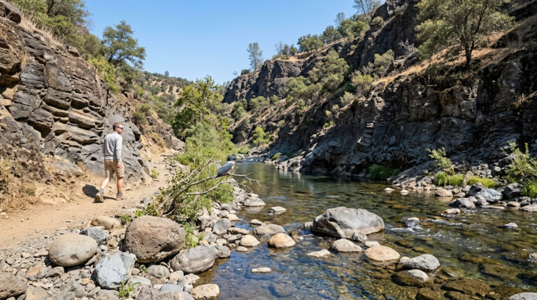
Cache Creek Canyon Regional Park sits alongside 70,000 acres of adjacent BLM Cache Creek Wilderness, cutting a Coast Range canyon, a dramatic contrast to the flat valley floor most of the county occupies, and a landscape that feels far more remote than its short drive from Davis or Woodland would suggest.
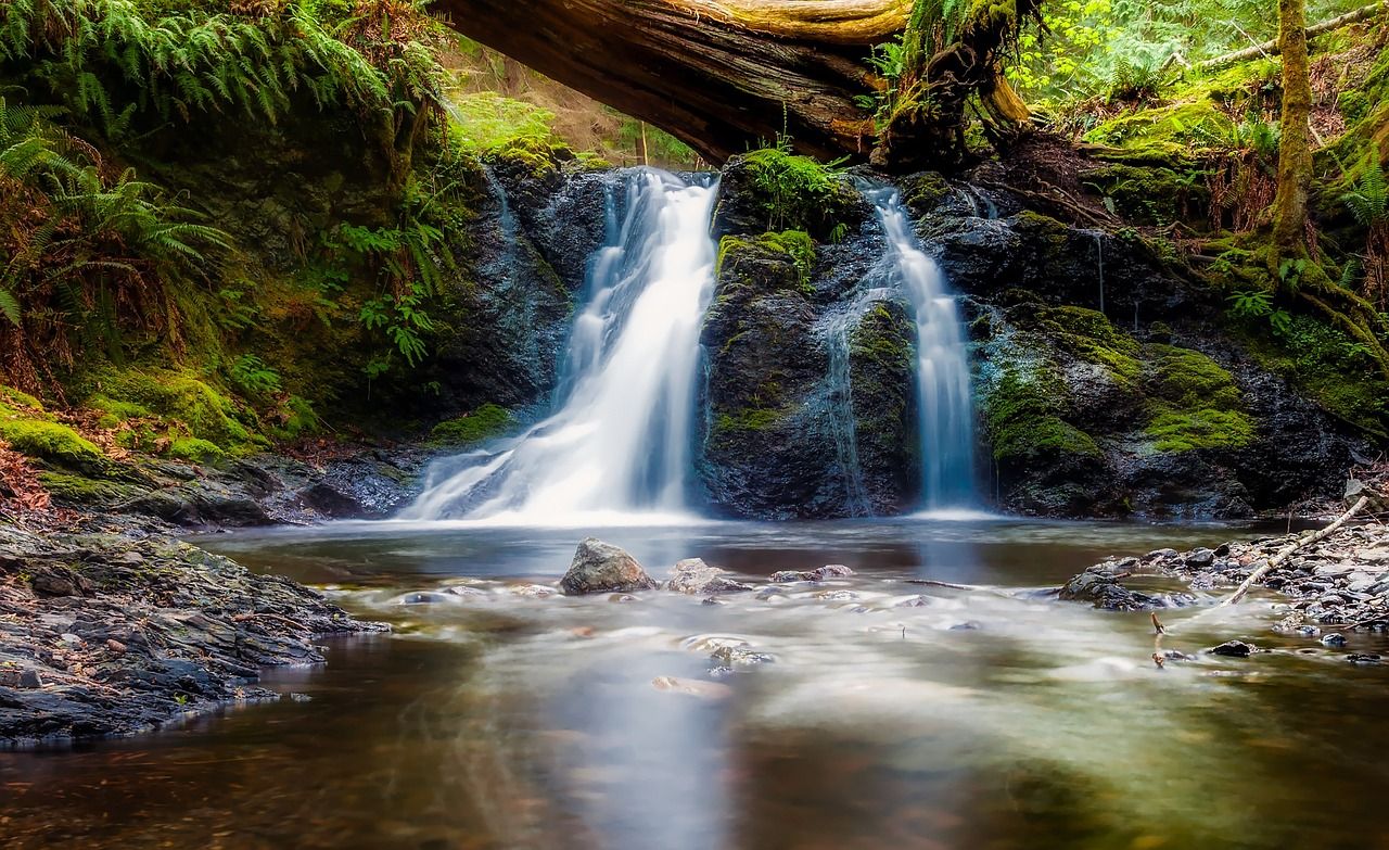
Blue Ridge Trail: Yolo County’s best wildflower and canyon hike
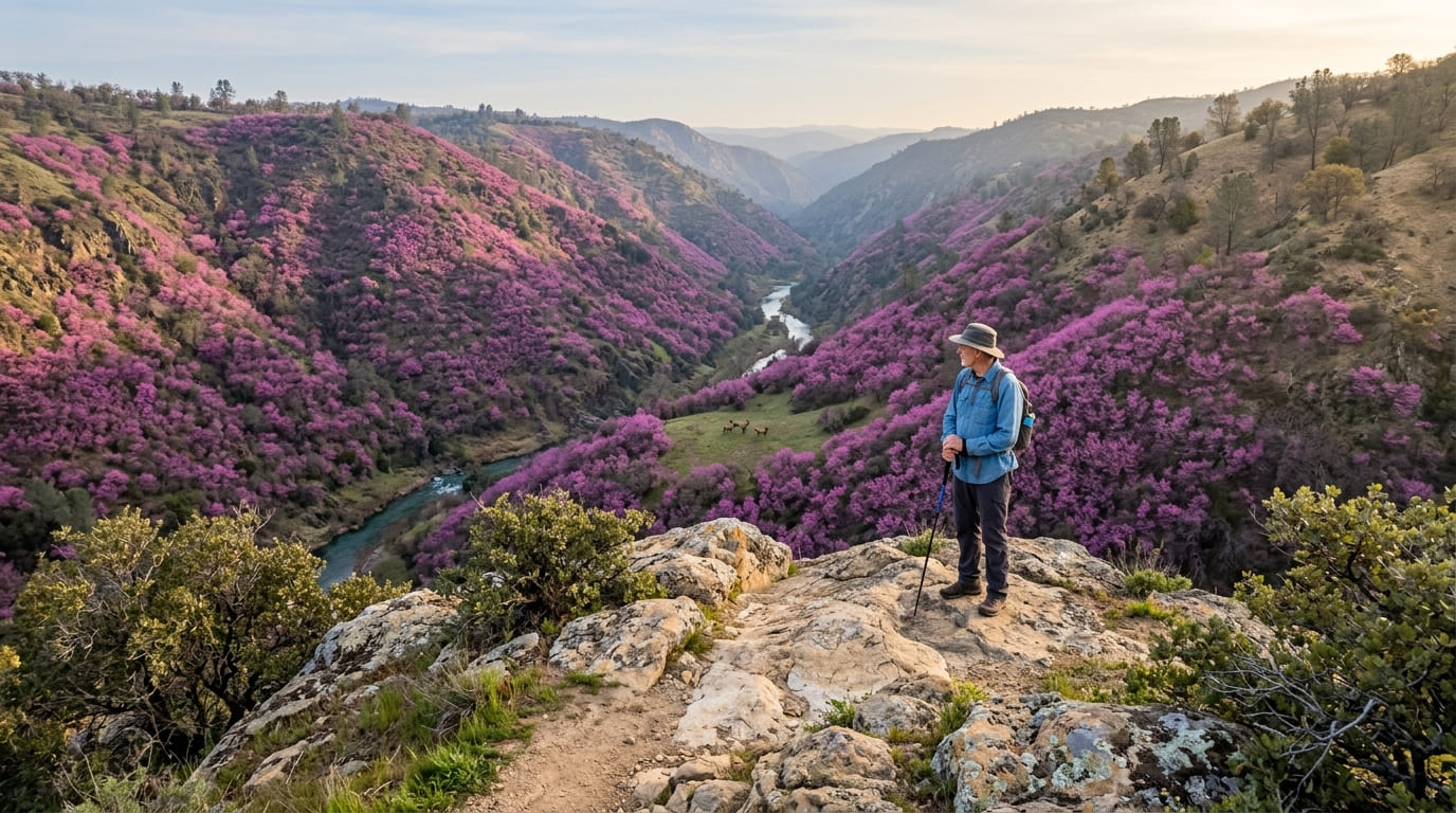
Accessible from the lower site of Cache Creek Regional Park off Highway 16, the steep 8-mile loop of the Blue Ridge Trail offers sweeping views of the Cache Creek gorge. The area features western redbud blooming in magenta clusters February through March, making it one of the best wildflower displays in Yolo County and a draw for photographers.
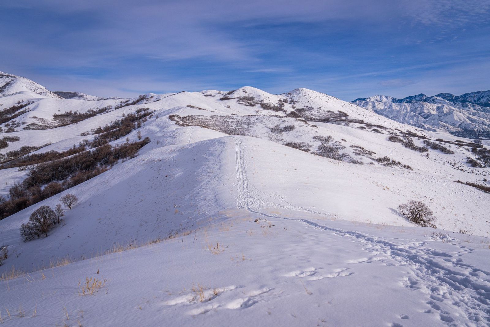
The surrounding Cache Creek Natural Area and Wilderness are home to a resident tule elk herd, and the canyon is also rattlesnake habitat, so watch your footing on warm days, especially when stepping over rocks or logs. Access is free through BLM land, with a $5 day-use fee at the county park trailhead; best February through April for peak bloom, though the canyon is scenic enough to justify a visit outside that window too.
Best hiking trails at Putah Creek, Yolo County
Putah Creek Riparian Reserve, managed by UC Davis, covers 590 acres along Putah Creek south of Davis, a working research site that’s also open to the public, a combination that surprises a lot of first-time visitors who assume it’s restricted to students and faculty.
Putah Creek Riparian Reserve Trail: Davis’s best nature hike
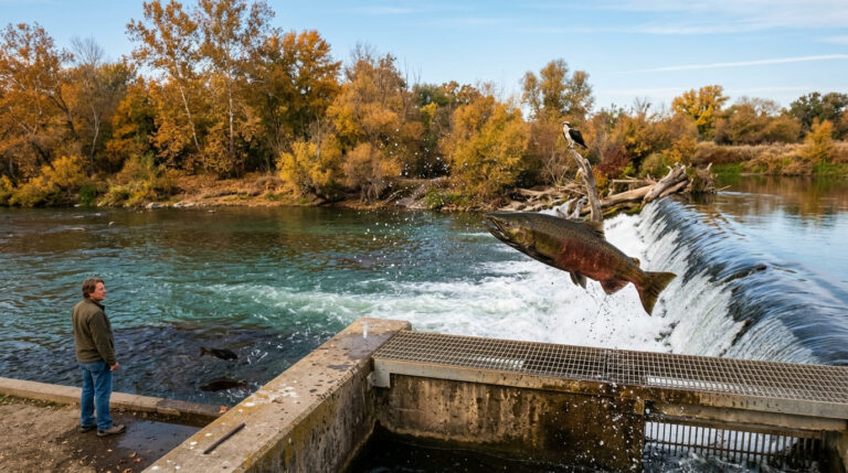
About 5 miles of interconnected unpaved paths wind through restored riparian habitat, valley oak, cottonwood, and willow, with more than 200 recorded bird species, including yellow-billed magpie and Swainson’s hawk. Winter-run steelhead are visible in clear water during the cooler months, and river otters turn up occasionally along the creek, a treat for anyone who happens to catch one.
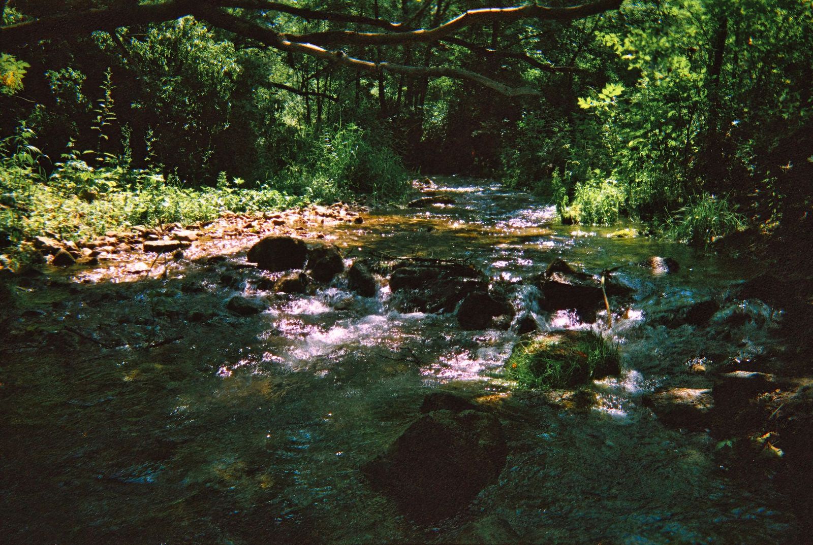
It’s free with no reservation, open year-round, and the trailhead sits off Old Davis Road on Putah Creek Road, an easy add-on for anyone already spending a day around the UC Davis campus.
Best hiking trails at Yolo Bypass Wildlife Area
Yolo Bypass Wildlife Area covers roughly 16,700 acres adjacent to Sacramento County, primarily a seasonal wetland that floods from around October through March as part of its flood-control function, the same engineering that protects Sacramento from Sacramento River floodwaters.
Yolo Bypass Levee Walk: Sacramento Valley’s best winter wildlife walk
About 3 miles of levee road are passable on foot, with thousands of sandhill cranes staging here each winter, best viewed at dawn or dusk from November through January, alongside northern harriers and white-tailed kites hunting over the wetland.
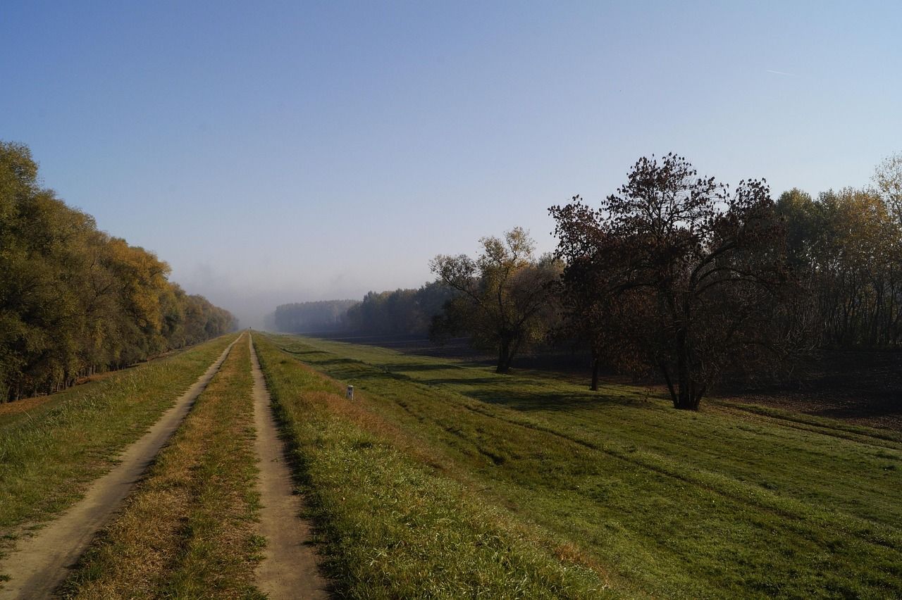
Tule elk once roamed the broader Yolo Basin before it was leveed and farmed, and the wildlife area’s cattle grazing today serves as a deliberate ecological stand-in for that historical grazing, though no resident elk herd lives on the refuge now.
A bonus for evening visitors: the Interstate 80 causeway crossing the bypass hosts one of the largest urban Mexican free-tailed bat colonies in California, visible at dusk in summer as thousands of bats emerge for their nightly feeding flight. Access is free through CDFW, but seasonal flooding can close trails entirely; check current conditions before visiting, since a trail passable one week can be underwater the next.
Yolo County rewards looking past its agricultural reputation: Cache Creek’s canyon and redbud bloom, Putah Creek’s quiet riparian trails, and the Yolo Bypass’s winter wildlife spectacle all sit within a short drive of Davis.
Bring real caution around rattlesnakes at Cache Creek specifically, and check current flooding status before any winter Yolo Bypass visit, since the wetland’s entire purpose is to flood on a schedule dictated by the Sacramento River, not visitor convenience.
Frequently asked questions about hiking trails in Yolo County
What hiking trails are near Davis, California?
Putah Creek Riparian Reserve is the closest option, right south of town, with Cache Creek Canyon and the Yolo Bypass Wildlife Area both a reasonable drive away for canyon and wetland hiking, respectively; all three are doable as day trips from the UC Davis campus.
Is there hiking at Cache Creek Canyon in Yolo County?
Yes, Cache Creek Regional Park offers excellent hiking off Highway 16. The Blue Ridge Trail and Frog Pond Trail both explore the rugged Cache Creek gorge, with a western redbud wildflower bloom each February and March that draws hikers specifically for the color.
When does the western redbud bloom at Cache Creek in Yolo County?
Typically February through March, producing magenta blossoms along the canyon that make this the best window for a wildflower-focused visit, though exact timing shifts a bit year to year with winter rainfall.
Is the Putah Creek Riparian Reserve open to the public near Davis?
Yes, despite being a UC Davis research site, it’s open to the public year-round, free, with no reservation required for its roughly 5 miles of trail, a detail that surprises a lot of visitors.
Can I see sandhill cranes at the Yolo Bypass Wildlife Area?
Yes, thousands stage here each winter, best viewed at dawn or dusk from November through January. Check current flooding conditions before visiting, since the wetland’s seasonal flood cycle can close trail access with little notice.
What wildlife can I see while hiking in Yolo County?
Sandhill cranes and abundant waterfowl at the Yolo Bypass, tule elk at Cache Creek Wildlife Area specifically, and more than 200 recorded bird species plus winter steelhead along Putah Creek; varied wildlife for a county this size, especially given how much of it is farmland.