7 Cool Hiking Trails in California That Beat the Heat When Summer Hits
Beating California summer heat on a hike comes down to three strategies: shade, elevation, or fog; everything else is just hoping for the best. The Cool Hiking Trails in California highlighted below use one of those three tricks (sometimes two at once), from a redwood canyon that blocks nearly all direct sun to an alpine lake basin that stays cold no matter what the valley floor is doing. I’ll also flag where summer access has strings attached (a timed reservation, a seasonal road, or a fire-recovery closure) so you’re not planning around a trail that isn’t fully open yet.
Disclosure: Please note that some of the links below are affiliate links and at no additional cost to you, I may earn a commission. Know that I only recommend hiking gear I personally stand behind; when you use my affiliate links, it helps me run this blog and keep all of this content free of charge for readers (like you).
Key takeaways:
- Best guaranteed shade: Muir Woods’ redwood canopy blocks nearly all direct sun, though you’ll need a parking or shuttle reservation to get there.
- Best elevation escape: Tuolumne Meadows sits above 8,600 feet, but it’s only reachable once Tioga Road opens for the season, typically late May through June.
- Best fog-cooled coast: Marin Headlands sits directly in the path of the Golden Gate’s summer marine layer, often 15–20°F cooler than inland valleys the same day.
- Best active cool-down: Kaiser Wilderness’s alpine lakes near Huntington Lake let you swim your way out of the heat, not just hide from it.
- Honest trade-off to know upfront: two of these seven (Julia Pfeiffer Burns and Big Basin) have partial trail closures right now. Both are still worth the trip; I cover exactly what’s open in each section.
| Trail | County | Cooling strategy | Distance | Fee/Permit |
|---|---|---|---|---|
| Muir Woods Main Trail | Marin | Redwood shade | 2 mi loop | $15 entry + parking/shuttle reservation |
| Tuolumne Meadows (Lembert Dome) | Tuolumne | Elevation (~8,600 ft) | 2.8 mi RT | $35/vehicle park entry, no day-hike permit |
| Fallen Leaf Lake shoreline | El Dorado | Lake-effect breeze | 2–5 mi flexible | Free |
| Ewoldsen Trail, Julia Pfeiffer Burns | Monterey | Coastal fog + redwood | ~5 mi loop | $10/vehicle |
| Redwood Loop Trail, Big Basin | Santa Cruz | Redwood shade | 0.6 mi loop | $6–10/vehicle, reservation recommended |
| George Lake Trail, Kaiser Wilderness | Fresno | Elevation + alpine swimming | ~10 mi RT | Free day hike, permit for overnight |
| Coastal Trail, Marin Headlands | Marin | Coastal fog | ~3.5 mi | Free |
Muir Woods National Monument (Marin County)
Why it made this list: dense redwood canopy blocks nearly all direct sun
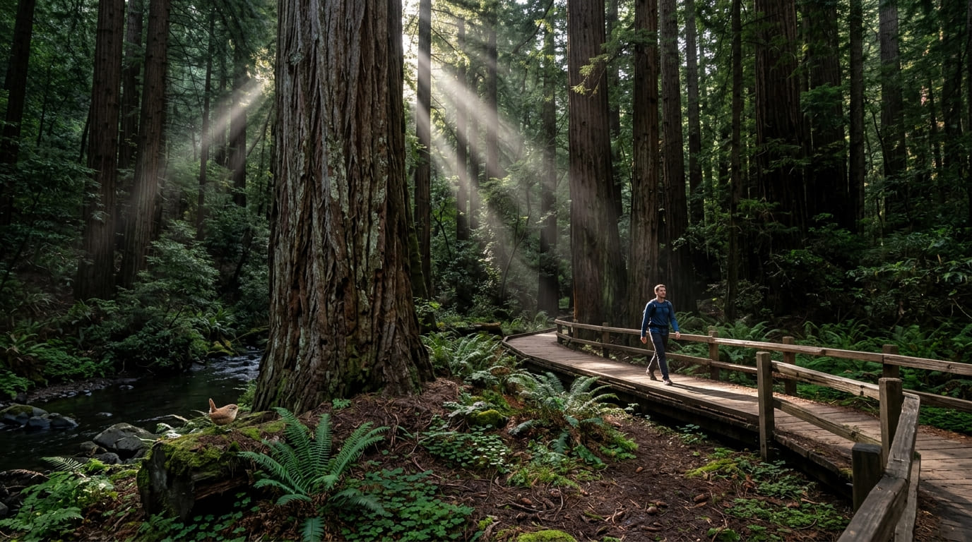
Old-growth coast redwoods do something almost no other tree canopy does this well: they turn a 90°F day at the trailhead into a cool, still, green-lit walk along Redwood Creek. Muir Woods is one of the most accessible redwood hiking trails in the state for exactly this reason.
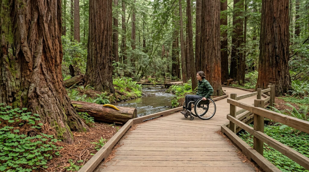
The Main Trail loop to the fourth bridge is 2 miles round trip, mostly flat, and largely boardwalk and paved surface, which also makes it one of the more wheelchair- and stroller-accessible redwood hikes in the state. (Our accessible hiking trails guide covers more options like this one, and our Muir Woods and Point Reyes trail guide covers more of the immediate area.)
Practical tips: access and best timing
This is the one entry on the list where you can’t just show up: Muir Woods requires a parking or shuttle reservation seven days a week, year-round, booked at GoMuirWoods.com up to 90 days ahead. Entry runs $15 per adult (16+), separate from the parking reservation fee. Per the National Park Service’s official fees page, reservations, hours, and pricing are set annually, so confirm before you book. For fewer crowds, aim for early morning or a weekday, since summer weekend afternoons draw the heaviest traffic of the year.
Tuolumne Meadows High Country Trails (Tuolumne County)
Why it made this list: 8,600+ feet of elevation keeps temperatures mild
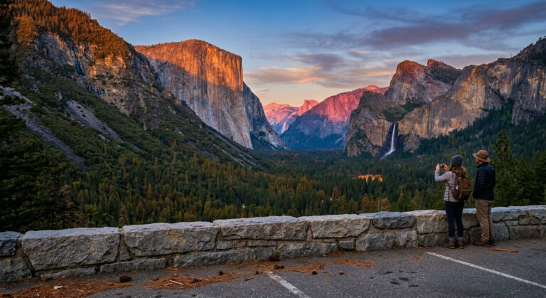
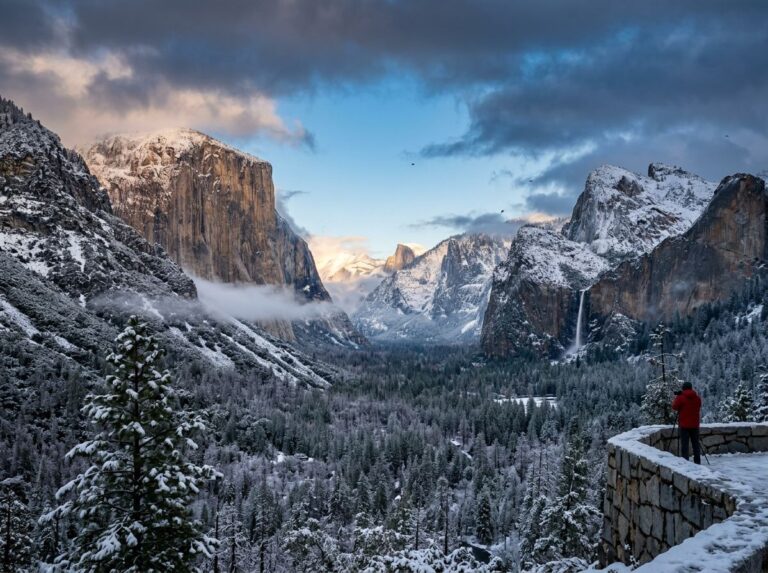
Yosemite’s high country sits high enough that summer daytime highs rarely approach what the Valley floor or the Central Valley sees the same afternoon.
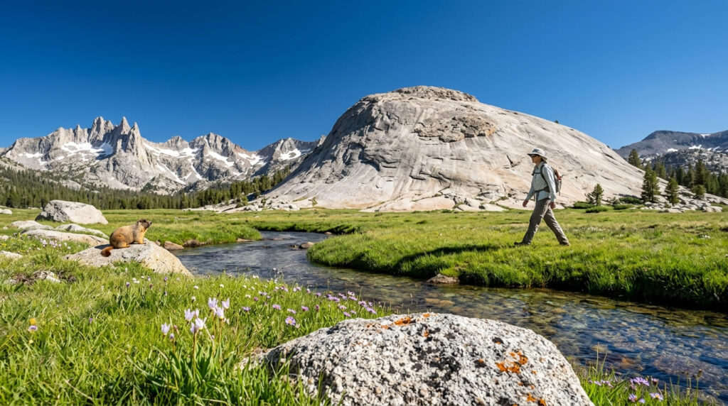
Lembert Dome, a 2.8-mile round trip with about 850 feet of gain, is the easiest introduction to the meadow, or stretch it into the flatter, 8-mile Lyell Canyon walk along the Tuolumne River if you want more distance without more climbing.
Practical tips: access and best timing
The catch: Tuolumne Meadows is only reachable by car once Tioga Road opens for the season, and that date moves: it opened May 15 in 2026, but has opened as late as July 22 in a heavy-snow year. Check the NPS Tioga Road status page before you build a trip around it. Day hikes here don’t require a wilderness permit (only overnight trips do), so don’t let permit talk scare you off a simple day in the meadow. For more of this area, see our Tuolumne Meadows trail guide. If you’re planning a bigger Yosemite trip around this seasonal window, our guide to the best time to visit each national park goes deeper on timing.
Fallen Leaf Lake (El Dorado County)
Why it made this list: a shoreline walk with consistent lake-effect cooling
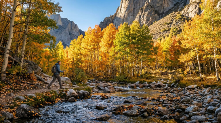
Fallen Leaf Lake sits just southwest of the main Tahoe shoreline, separated from the crowds by about a mile, and the lake itself keeps the air noticeably cooler than inland South Shore streets on the same afternoon.
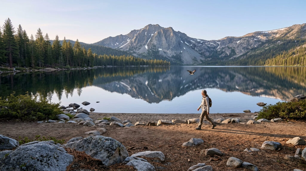
The shoreline trail is flexible: walk a couple of miles for a short outing or continue farther along the north shore for a half-day, with Mount Tallac’s granite face as the backdrop most of the way.
Practical tips: access and best timing
Access and parking are free, managed by the Lake Tahoe Basin Management Unit (U.S. Forest Service). Early morning still offers the calmest, coolest conditions here, even though the lake stays comfortable most of the day relative to lower-elevation trails. For more of the immediate area, see our Lake Tahoe trail guide.
Julia Pfeiffer Burns State Park (Monterey County, Big Sur)
Why it made this list: coastal fog keeps Big Sur trails naturally air-conditioned
Big Sur’s persistent summer marine layer keeps this stretch of coastline markedly cooler than inland California during the same weeks.
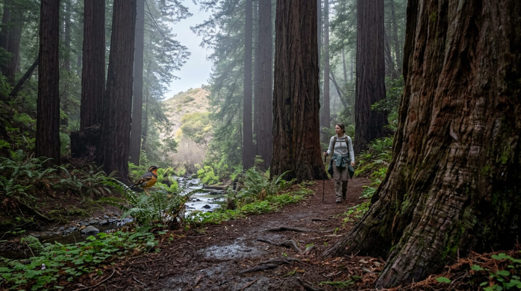
The trail to know here is the Ewoldsen Trail, not the McWay Falls Overlook Trail (more on that below), a roughly 5-mile loop that climbs about 1,400–1,600 feet through redwood canyon before opening onto a chaparral ridge with sweeping coastal views.
Practical tips: access and best timing
The McWay Falls Overlook Trail (the short, famous walk to the waterfall view) is closed for a long-term retaining wall repair project that California State Parks expects to continue into 2026. You can still see the falls from a Highway 1 pullout, but not from inside the park. The Ewoldsen Trail, by contrast, has been reported open in recent trail logs, though its eastern loop segment has intermittently closed for erosion repair; check current status before you go. The marine layer that keeps this trail cool can also obscure ocean views mid-morning; it typically burns off by early afternoon. Parking runs $10 per vehicle, cash often required.
Big Basin Redwoods State Park (Santa Cruz County)
Why it made this list: California’s oldest state park, shaded by ancient redwoods
Big Basin offers the same deep-shade redwood cooling as Muir Woods, with considerably more acreage to spread out summer crowds, when you’re on a trail that’s open. Between the two, they cover the state’s best redwood forest hiking trails for anyone chasing shade over a full day.
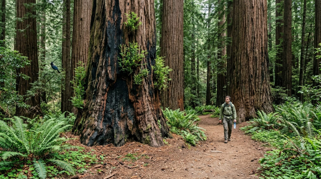
It’s California’s oldest state park, established in 1902, and its old-growth canopy is still doing the same job it always has.
Practical tips: access and best timing
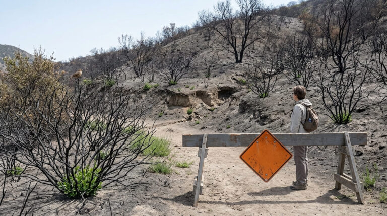
The 2020 CZU Lightning Complex Fire burned 97% of the park, and recovery is partial. The easy 0.6-mile Redwood Loop Trail near the main day-use area is open, along with sections of the Skyline-to-the-Sea Trail toward Castle Rock, but the historic waterfall corridor and most of the backcountry remain closed. Check the California State Parks Big Basin page for the current trail map before you go. Parking runs $6 plus a $2 reservation fee (or $10 without one), and there’s no potable water in the park, so bring everything you need. For more Santa Cruz County options while you’re in the area, see our Big Basin Redwoods trail guide.
Kaiser Wilderness High Lakes (Fresno County)
Why it made this list: alpine lakes above 9,000 feet near Huntington Lake
This is the one entry that lets you beat the heat actively instead of just hiding from it: the George Lake Trail climbs through Potter Pass to a chain of alpine lakes where the water is bracingly cold even in August.
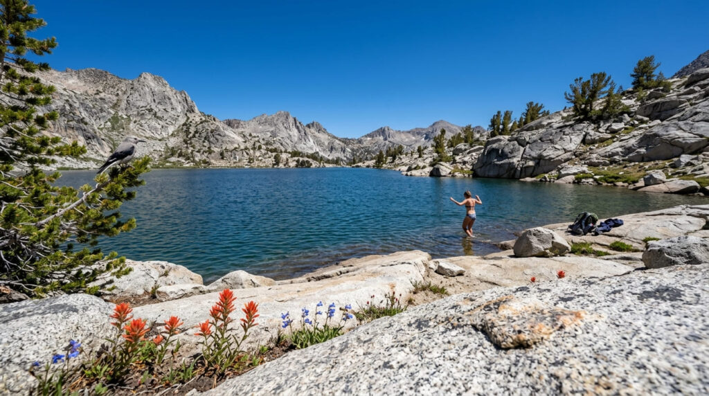
Budget around 10 miles round trip with an elevation range of roughly 8,300 to 9,100 feet, starting from the trailhead parking near Huntington Lake.
Practical tips: access and best timing
Day hikes here don’t require a wilderness permit; that requirement only kicks in for overnight camping in the Kaiser Wilderness, reserved through Recreation.gov with year-round trailhead quotas. If you’re mixing day hikes and backpacking trips this summer, our permits guide breaks down exactly when you do and don’t need one. The trail is typically snow-free and accessible June through October; by late summer, water sources along the trail can run low, so carry more than you think you’ll need.
Marin Headlands Coastal Trails (Marin County)
Why it made this list: Golden Gate fog keeps this trail system naturally cool
The Marin Headlands sit directly in the path of San Francisco Bay’s characteristic summer fog, often 15–20°F cooler than inland valleys on the same day.
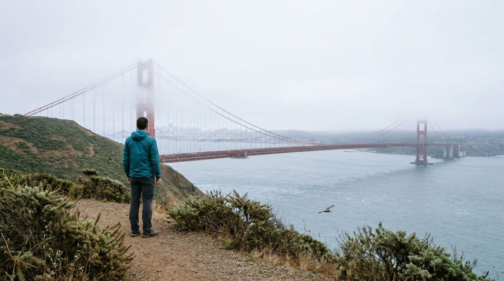
The Coastal Trail out of Rodeo Beach (roughly 3.5 miles depending on how far you push toward Point Bonita) delivers the classic version: bluff-top views of the Golden Gate Bridge with fog rolling through it in time.
Practical tips: access and best timing
Access is free, with no permit needed, managed by the National Park Service’s Golden Gate National Recreation Area. Unlike most of this list’s shade-based cooling strategies, this trail’s cooling comes from marine fog, which means a jacket is often more useful here than sunscreen even in July. For more headlands options, see our Marin Headlands trail guide.
The honest bottom line
If you only have one hot afternoon to spend, Muir Woods is the safest bet for guaranteed shade; just book your reservation first. But the strategy is matching the trail to how hot it is that day: redwoods for a scorcher, elevation if you can get to Tuolumne or Kaiser, fog-cooled coast if you want a jacket-weather hike in July. Two of these seven have current access caveats worth a second look before you drive out, so build in a status check the morning of your trip.
Frequently asked questions about the best hiking trails in California for summer
What time of day should you hike in summer to avoid heat?
Start early (ideally before 9 a.m.) or hike late afternoon into evening; the hottest window on most California trails runs from roughly noon to 4 p.m.
How much water should you bring on a hot summer hike?
A common baseline is about half a liter to a liter per hour of moderate hiking in heat, more on exposed or high-elevation trails; bring more than you think you’ll need rather than relying on a fixed number.
Is coastal fog reliable for cooling down a hike?
It’s fairly reliable through the summer “fog season” along the immediate coast, but it can burn off by early afternoon, especially on trails that face inland, so a foggy morning start is the safer bet.
What are signs of heat exhaustion while hiking?
Heavy sweating, cool or clammy skin, weakness, nausea, headache, and dizziness are the classic signs; stop, cool down, and hydrate immediately if you notice them, and descend if symptoms don’t improve.
Are high-elevation trails always cooler in summer?
Generally yes (roughly 3–5°F cooler per 1,000 feet of elevation gain), but not guaranteed to beat a fog-cooled coastal trail, and high elevation brings its own summer risk in the form of afternoon thunderstorms.
What is the hottest month to avoid hiking in California?
Interior and desert regions typically peak in July and August, but coastal areas can be cooler then thanks to fog season, so “hottest month” depends heavily on which part of the state you’re hiking.