The 5 Best Hiking Trails in Big Basin Redwoods State Park, Santa Cruz County
Big Basin is California’s oldest state park, established in 1902, and it’s also the site of the most serious fire recovery story in this entire Santa Cruz County series. If you’ve read my other redwood trails guide, you already know the Fall Creek Unit at Henry Cowell State Park touched the same 2020 fire; Big Basin is where that fire did the most damage, burning more than 97% of the park’s roughly 18,000 acres. This guide covers the five Hiking Trails in Big Basin Redwoods most associated with the park, and I want to be upfront: most of them are still closed.
Disclosure: Please note that some of the links below are affiliate links and at no additional cost to you, I may earn a commission. Know that I only recommend hiking gear I personally stand behind; when you use my affiliate links, it helps me run this blog and keep all of this content free of charge for readers (like you).
For the rest of the county- the coast, the inland mountains, and beginner-friendly trails– all are covered elsewhere in this batch; start at the Santa Cruz County trail guide for the complete picture. This particular guide, though, needs to be read for what’s actually accessible right now, not what these trails have historically been. If the current closures are too limiting for your trip, hiking through the neighboring Portola Redwoods is an excellent, deeply forested backup plan, alongside the miles of quiet creek-side tracks in Forest of Nisene Marks.
Key takeaways
- The one trail here you can do exactly as planned: the Redwood Loop, flat, accessible, and genuinely moving to walk given the recovery story around it.
- Currently closed, no access to the waterfalls at all: Berry Creek Falls Trail.
- Currently closed, same closure system: Sunset Trail.
- Status genuinely unclear: Meteor Trail, some recent reports suggest access, but its typical connecting route is closed.
- Only half-open: Skyline-to-the-Sea Trail, hikeable from Castle Rock to the Main Day-Use Area, but the ocean-side approach toward Waddell Beach is closed, and park-wide camping closures rule out the multi-day version entirely.
- A reservation system, not a hard requirement. Parking reservations are strongly encouraged but not the only way in, walk-up parking exists at a higher fee, and arriving by foot, bike, or bus is free with no reservation needed.
Quick-glance comparison
| Trail | Distance (RT) | Elevation gain | Current status |
|---|---|---|---|
| Redwood Loop Trail | 0.6 mi | Minimal | Open |
| Berry Creek Falls Trail | ~10 mi (historic) | ~1,500 ft (historic) | Closed, no waterfall access |
| Sunset Trail | Up to ~14 mi (historic) | ~2,500 ft (historic) | Closed |
| Meteor Trail | ~2 mi | ~400 ft | Unclear, connecting route closed |
| Skyline-to-the-Sea (full) | ~30 mi (historic, one-way) | Thousands of ft | Partially open, northern segment only; ocean segment closed |
Given how much of this guide is about access status rather than mileage, my terrain hazards guide is genuinely worth reading before any visit here; fire-damaged trail conditions are a real, current factor, not a historical footnote.
Redwood Loop Trail
This is the one trail in this guide that’s exactly what it’s always been, and given everything else on this list, that’s worth appreciating rather than taking for granted.
Trailhead access: the Main Day-Use Area, reservation strongly encouraged
Park at Big Basin’s Main Day-Use Area via Highway 236. Reservations are strongly encouraged given limited parking, $6 plus a $2 reservation fee, or $10 at the gate without one. Arriving by foot, bike, or the seasonal weekend shuttle from Saddle Mountain avoids the fee entirely.
Difficulty, distance, and elevation gain on the loop
It’s a short, easy 0.6-mile loop with minimal elevation gain, genuinely accessible, and one of the areas State Parks prioritized reopening first specifically because it required the least infrastructure repair.
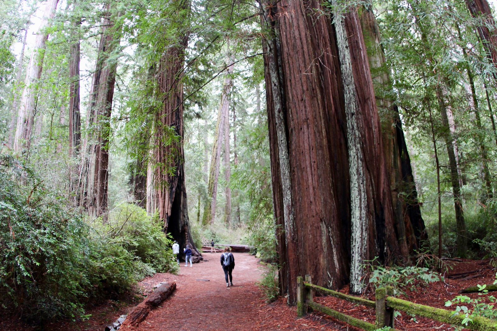
What you’ll see: California’s oldest state park, and its old-growth grove mid-recovery
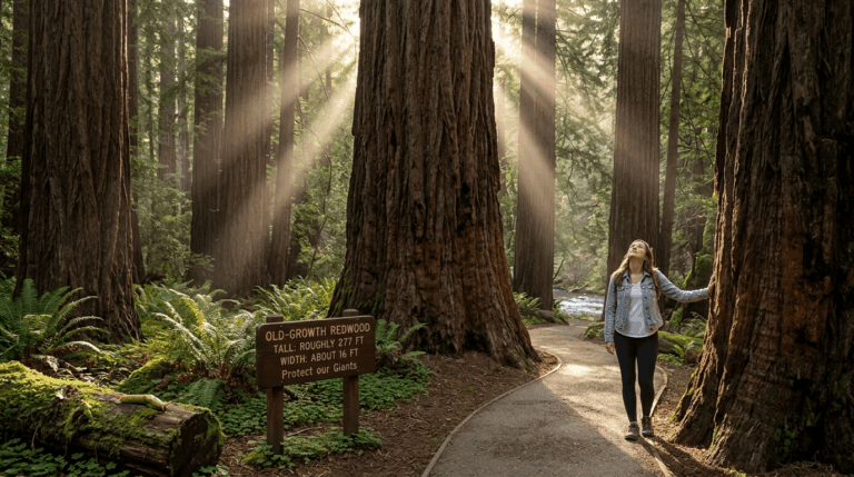
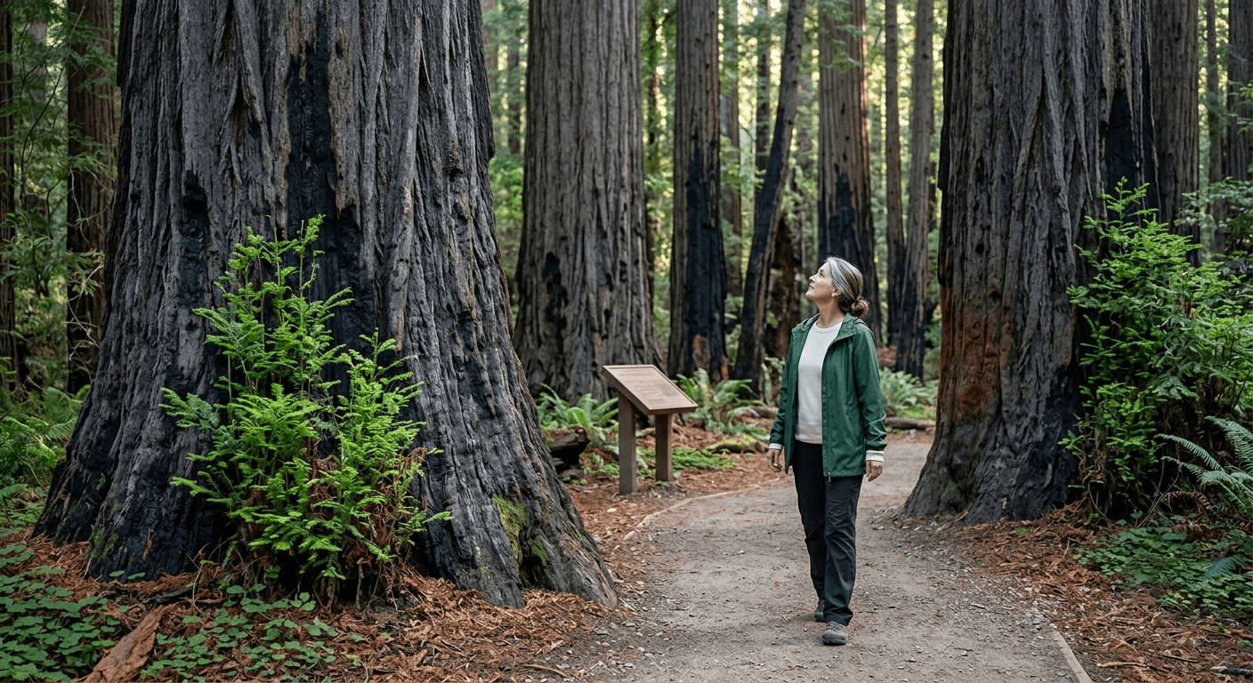
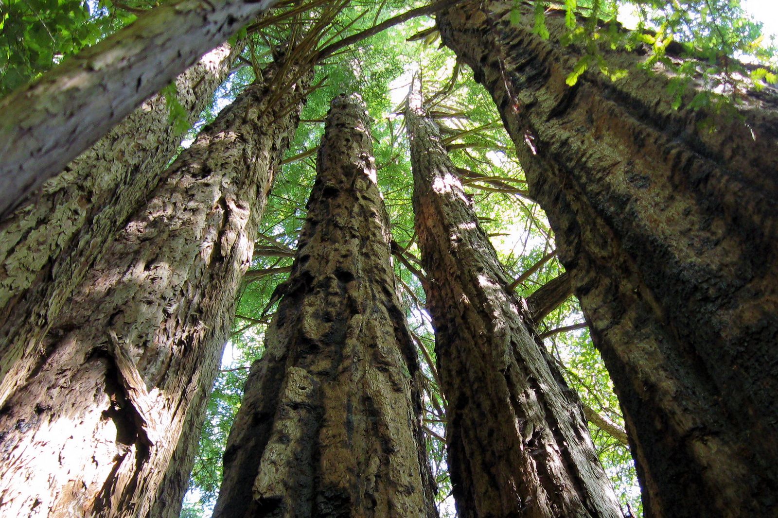
Established in 1902, Big Basin protects the largest continuous stand of ancient coast redwoods south of San Francisco, some standing more than a thousand years. Many of the largest, oldest trees survived the 2020 fire and are visibly resprouting, walking this loop today means seeing scorched trunks and fresh green growth side by side, a genuinely different experience than visiting before 2020.
State Parks staff and Friends of Santa Cruz State Parks have also added interpretive signage along the way explaining the fire and recovery process, so this short loop now doubles as a genuine lesson in redwood fire ecology.
Best time to hike the Redwood Loop: check current alerts before any visit
Given everything else in this guide, this bears repeating here too: confirm current conditions at reimaginingbigbasin.org or the park’s official page before you go, even for this reliably open trail; recovery status changes as crews clear more of the park.
Berry Creek Falls Trail: currently closed, no access to the waterfalls
I want to be direct about this one rather than describe a hike you can’t currently do.
Current access: closed, with no timeline given
The park’s current visitor notice states plainly that there is no access to any of Big Basin’s waterfalls right now, and this trail is marked closed on every recently-updated trail listing I found. This has been the case for an extended period post-fire, with no publicly announced reopening date as of this writing.
Difficulty, distance, and elevation gain, for reference
Historically, this ran about 10 miles round trip with roughly 1,500 feet of gain, typically hiked as a loop combining the Sunset Trail in and the Skyline-to-the-Sea Trail out, both currently affected by the same closures.
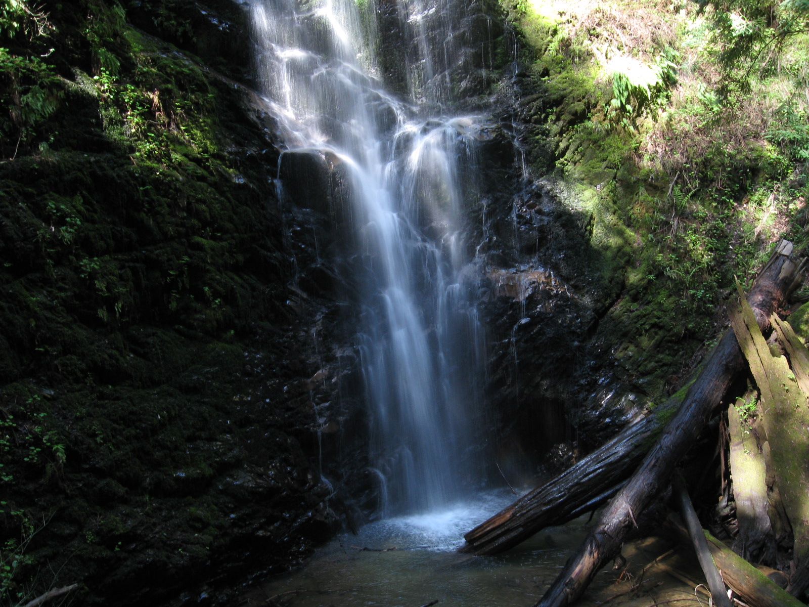
What you’ll see when it reopens: one of the Bay Area’s most photographed waterfalls
Berry Creek Falls drops roughly 65 feet through a redwood-lined amphitheater, with two more falls, Silver Falls and Cascade Falls, just upstream. This was consistently one of the most-hiked routes in the entire park before 2020, popular enough that even a decade-old trip report will mention arriving before dawn just to beat the crowds to the viewing platform.
Best time to hike Berry Creek Falls Trail: not applicable until it reopens
I’ll update this section the moment access changes, check back, or verify directly with the park before planning a visit around this specific destination.
Sunset Trail: currently closed
This trail shares its closure status with Berry Creek Falls, since the two were most commonly hiked together.
Current access: closed under the same park-wide waterfall and backcountry restrictions
Multiple current trail listings mark this route closed, consistent with the park’s broader notice that waterfall access and much of the backcountry trail network remain off-limits during ongoing recovery work.
Difficulty, distance, and elevation gain, for reference
The full Sunset Trail loop historically ran up to about 14 miles with roughly 2,500 feet of gain through varied, since-burned terrain, a genuinely demanding route even before accounting for fire damage.
What you’ll see when it reopens: forest recovery in action
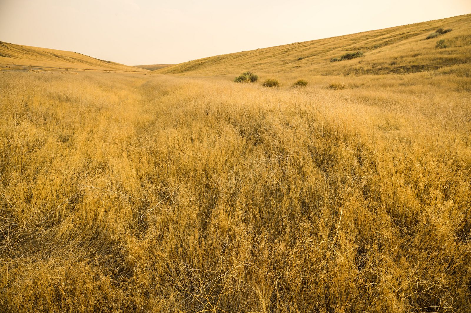
Unlike the untouched grove on the Redwood Loop, this route shows the fire’s impact directly, resprouting redwoods alongside standing dead trees, a firsthand look at how this ecosystem responds to and recovers from major fire.
Best time to hike Sunset Trail: not applicable until it reopens
Same caveat as Berry Creek Falls, confirm current status before planning around this one.
Meteor Trail: genuinely unclear status
I’d rather tell you honestly that I couldn’t fully resolve this than guess.
Current access: possibly open, but its usual access route isn’t
One relatively recent source describes this trail as accessible alongside the Redwood Loop. But Meteor Trail has no standalone trailhead of its own, it’s reached via the Sunset Trail, which is currently closed. It’s possible short sections remain reachable via other connecting routes, but I don’t have a clean, current confirmation either way. Check with staff at the park entrance kiosk before planning a hike specifically around this trail.
Difficulty, distance, and elevation gain, for reference
It’s a short connector, about 2 miles with roughly 400 feet of gain, historically used to link longer custom loops rather than as a standalone destination.
What you’ll see: mixed redwood and fir forest, a quieter link trail
Less dramatic than Berry Creek Falls or the old-growth grove, this stretch passes through transitional mixed forest, valuable mainly for stringing together a longer route when the rest of the trail network is fully open.
Best time to hike Meteor Trail: check current access first
Given the uncertainty above, this is less about season and more about confirming the trail is genuinely reachable before you build a hike around it.
Skyline-to-the-Sea Trail: open to the north, closed toward the ocean
This is the county’s single highest-volume trail search term, and it’s also the one most affected by this guide’s access complications.
Current access: hikeable from Castle Rock to the Main Day-Use Area; closed toward Waddell Beach
The segment from Castle Rock State Park to Big Basin’s Main Day-Use Area is open. From there heading south toward the ocean and Waddell Beach, the segment the trail is most famous for, access is currently closed. Separately, the coastal Rancho del Oso unit near Waddell Beach remains open for day use, free, with no reservation required, but it doesn’t currently connect by trail into the rest of the closed network.
And critically: all camping in Big Basin is currently closed, which means the classic multi-day backpacking version of this trail isn’t achievable start-to-finish right now, regardless of trail status.
Difficulty, distance, and elevation gain on the full historic route
End-to-end, this runs about 30 miles with thousands of feet of cumulative elevation change, traditionally hiked as a multi-day trip. Right now, only the shorter, northern day-hike segment is realistically available.
What you’ll see: a genuine mountains-to-ocean transect, currently experienced in two disconnected pieces
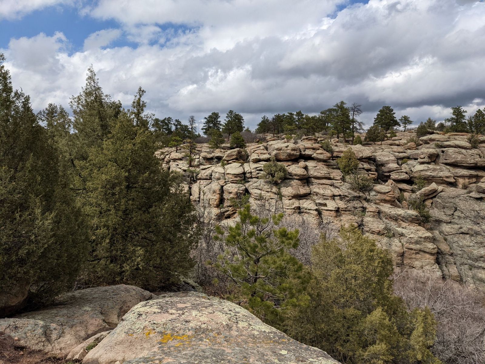
The full route was designed to take hikers from Castle Rock’s high ridgelines through old-growth redwood groves down to Waddell Beach, a well-known windsurfing spot. Right now, you can experience the ridge-and-forest portion, or visit Waddell Beach and Rancho del Oso separately by car, just not connect the two on foot.
Best time to attempt Skyline-to-the-Sea: confirm segment status and drop any multi-day plans for now
Given the camping closure alone, anyone planning the traditional multi-day thru-hike should hold off until camping access returns, check reimaginingbigbasin.org for updates.
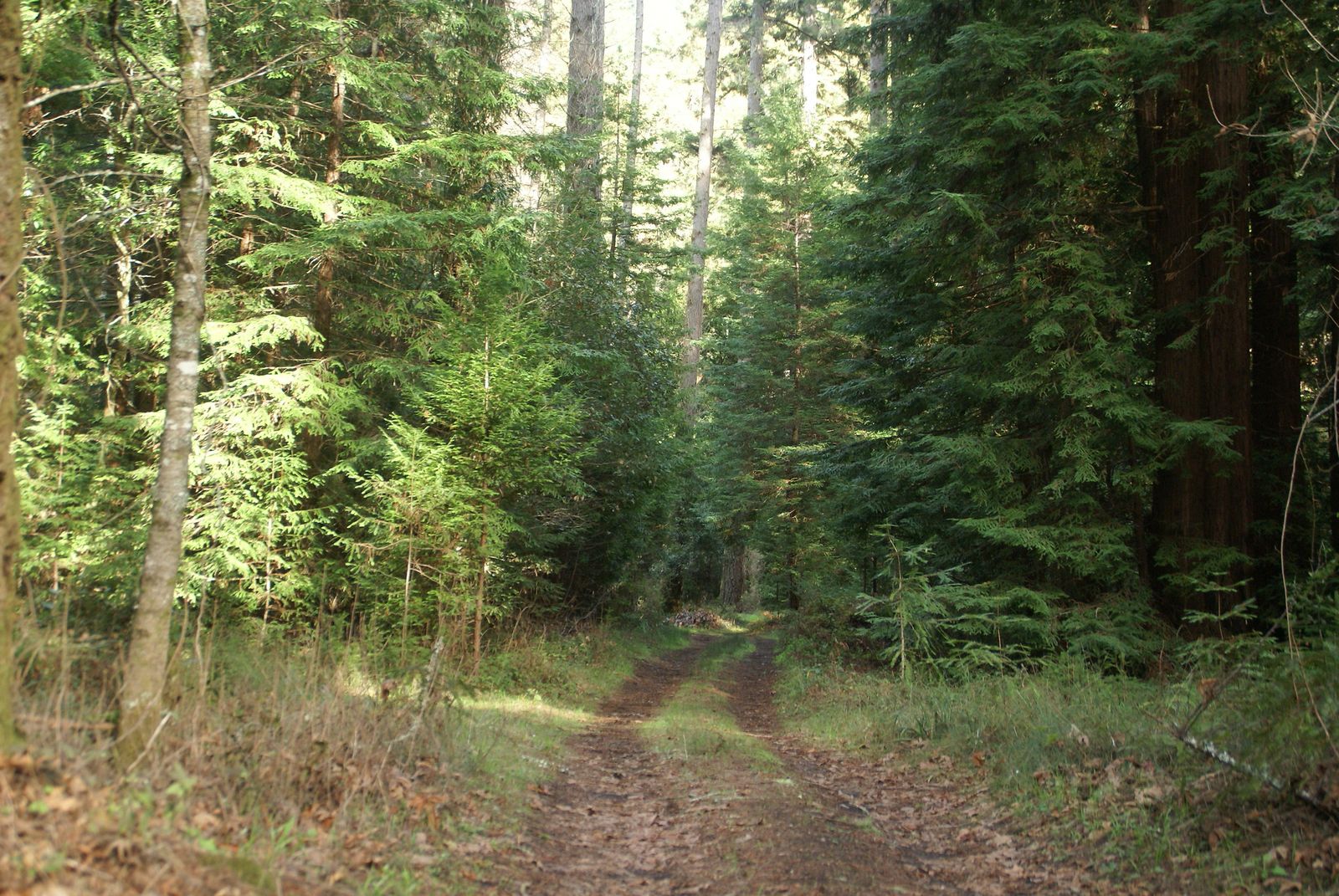
What to actually do at Big Basin right now
Given everything above, here’s my honest recommendation: come for the Redwood Loop and the open northern stretch of Skyline-to-the-Sea, and treat the rest of this list as a preview of what’s coming back, not a current itinerary. This park’s recovery has been genuinely substantial since 2022, and it’s worth watching for updates, but right now, a realistic Big Basin visit is smaller than this guide’s trail count might suggest.
Frequently asked questions
Is Big Basin Redwoods State Park fully reopened after the 2020 fire?
No. It reopened for limited day-use access in July 2022 and has expanded access since, but most of the park’s backcountry trails, all waterfalls, and all camping remain closed as recovery work continues.
Is Big Basin the oldest state park in California?
Yes, established in 1902.
How long is the hike to Berry Creek Falls?
Historically about 10 miles round trip, but the trail is currently closed, with no public access to the falls right now.
Do you need a reservation to visit Big Basin?
Reservations are strongly encouraged given limited parking, but not strictly required, walk-up parking is available for $10, and arriving by foot, bike, or the seasonal shuttle requires no fee or reservation at all.
Is the Skyline-to-the-Sea Trail a multi-day backpacking route?
Normally yes, but currently no, all camping in Big Basin is closed, and the trail’s ocean-side segment is also closed, so the traditional multi-day version isn’t achievable right now.
Were the old-growth redwoods at Big Basin damaged by the CZU fire?
Many were scorched, but a substantial number of the oldest, largest trees survived and are actively resprouting, visible directly along the Redwood Loop Trail today.