Portola Redwoods State Park Hiking & Camping Guide
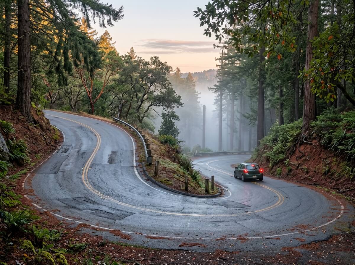
The road makes you earn it. From Highway 35, Alpine Road drops west for three miles, then Portola State Park Road bends left and keeps falling, steep and winding, until the pavement dead-ends in a basin of redwoods. State Parks tells drivers to use low gear. There’s no gas station or store at the bottom, and no cell reception inside the park.
Disclosure: Please note that some of the links below are affiliate links and at no additional cost to you, I may earn a commission. Know that I only recommend hiking gear I personally stand behind; when you use my affiliate links, it helps me run this blog and keep all of this content free of charge for readers (like you).
That’s the trade you make for Portola Redwoods State Park, a 2,800-acre state park near La Honda in San Mateo County, in the Santa Cruz Mountains. Pescadero Creek and Peters Creek meet here, 18 miles of hiker-only trails follow the water, and a redwood estimated at 1,200 years old stands at the end of an easy walk.
Whether you want a quiet morning hike or a weekend of camping at Portola Redwoods, this guide covers the drive, the trails, the campsites, and the rules in the order you’ll ask about them. It’s one of the redwood destinations in our San Mateo County hiking trails guide.
Key Takeaways
- Where: 9000 Portola State Park Road, La Honda, CA 94020. State Parks says to expect a 1.5- to 2-hour drive from most Bay Area locations.
- Hours and cost: Day use runs 6 a.m. to sunset, and all trails close at sunset. Parking is $10 per vehicle ($9 for seniors 62 and older).
- No services: No cell reception, gas or store in or near the park. The nearest gas is in Sky Londa, 14 miles away.
- Hikes: Old Tree Trail (about 1.2 miles round trip) for a short outing, Peters Creek Loop (11.9 miles round trip) for the old-growth grove.
- Camping: 55 family sites, 4 group camps, 4 hike-and-bike sites and a 6-site backpacker camp. Reserve on ReserveCalifornia up to six months ahead.
- Dogs: Allowed only in campsites, picnic areas, on paved roads and on two short Escape Roads, never on hiking trails.
What Makes Portola Redwoods State Park Special?
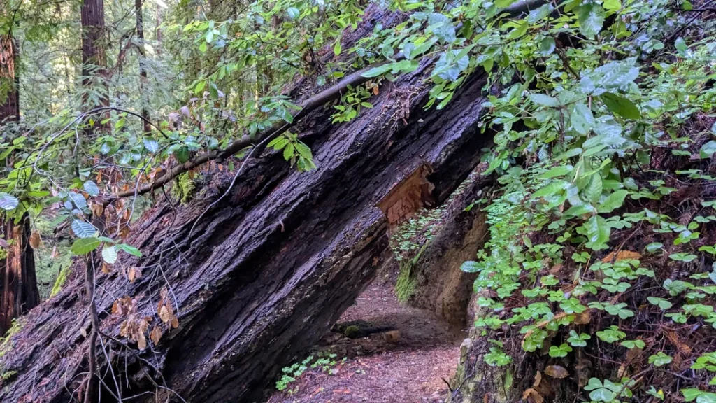
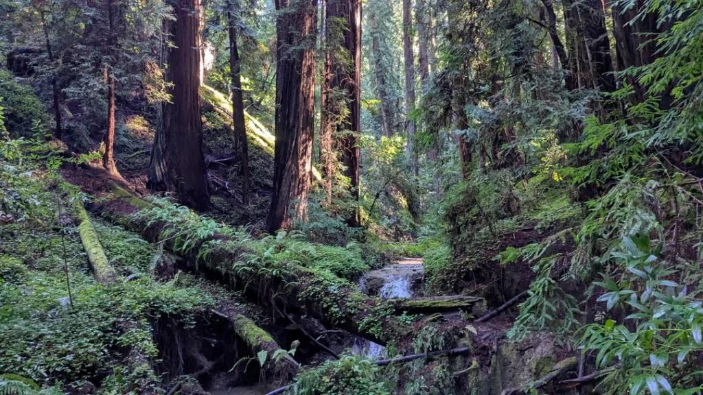
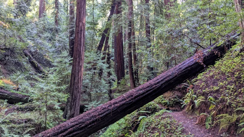
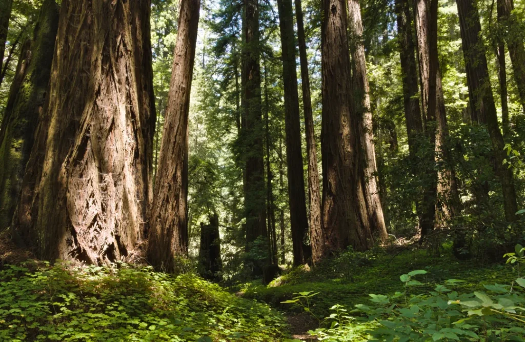
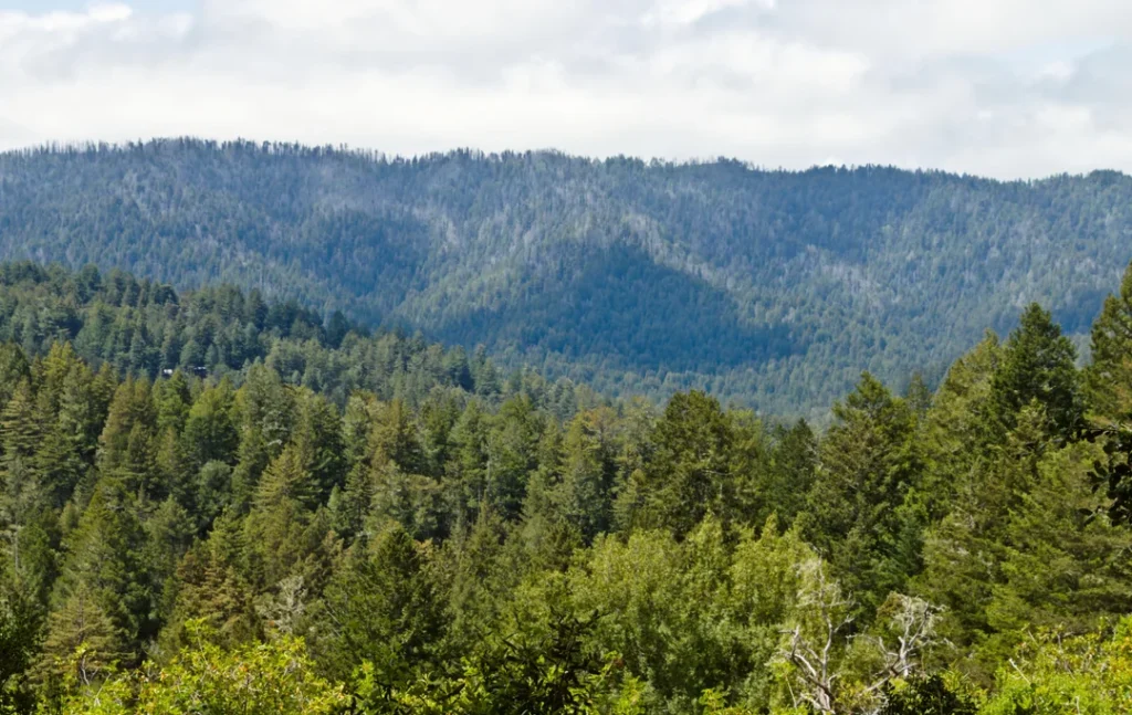
Portola Redwoods State Park sits in a deep basin where Peters Creek and Pescadero Creek come together, and the forest closes over you almost as soon as the road drops off the ridge.
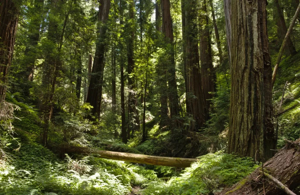
Coast redwoods crowd the creek bottoms among ferns and huckleberries, while Douglas fir, madrone and oak take over the drier ridges. Black-tailed deer, coyotes and mountain lions live here, along with steelhead trout, coho salmon and the endangered marbled murrelet, a seabird that nests high in old-growth redwoods.
Ohlone people lived on this land for thousands of years. Later, shingle makers logged the canyon, and a Masonic lodge owned the property until it sold to the state in 1945. Sempervirens Fund helped create the park, which is named for Spanish explorer Gaspar de Portolá.
Its survivors tell the story better than any sign: the Old Tree, a giant spared by loggers, and the remains of the Shell Tree, a 2,000-year-old redwood killed by a camper’s fire in 1989. State Parks lists Big Basin, Butano and Castle Rock as its nearest neighbors.
Getting to Portola Redwoods State Park: Directions, Fees and Hours
From Highway 35, turn west onto Alpine Road, drive 3 miles, and bear left onto Portola State Park Road. The road dead-ends in the park, and the park office sits about a mile in. Both roads are steep and winding.
Plan your supplies before you leave. State Parks says the nearest gas station is in Sky Londa, 14 miles away, and the nearest groceries are in Sky Londa and La Honda. With no cell reception, download your map in advance, and don’t count on ridesharing.
Day use runs from 6 a.m. to sunset, though severe weather can close the park. Parking is $10 per vehicle ($9 for seniors 62 and older), and annual passes are sold at the kiosk. If you visit often, our guide to California hiking trail permits and passes explains your options. For current alerts, check California State Parks’ Portola Redwoods page before you drive down.
The visitor center, which State Parks says feels like a wilderness lodge with its couches and fireplace, is listed as open daily from 9 a.m. to 5 p.m. Another State Parks page says it’s staffed on weekends and holidays as staffing permits, so call (650) 948-9098 if you need a map or trail advice. Free park maps are available there.
Best Hiking Trails at Portola Redwoods State Park
Every trail in the park is for hikers only. These figures come from State Parks’ trail pages, and trail apps may show slightly different numbers.
| Trail | Distance | Elevation change | Level | Starts at |
|---|---|---|---|---|
| Sequoia Nature Trail | 0.75 mi loop | 67 ft | Easy | Behind visitor center |
| Old Tree Trail | About 1.2 mi round trip | 245 ft | Easy | Old Tree trailhead |
| Iverson Trail to Tiptoe Falls | 1.44 mi | 172 ft | Easy | Behind visitor center |
| Upper Coyote / East Tarwater | 6 mi loop | 760 ft | Moderate | Iverson trailhead |
| Peters Creek Loop | 11.9 mi round trip | 1,030 ft | Strenuous | Old Tree trailhead |
Old Tree Trail: The Giant at the End of the Path
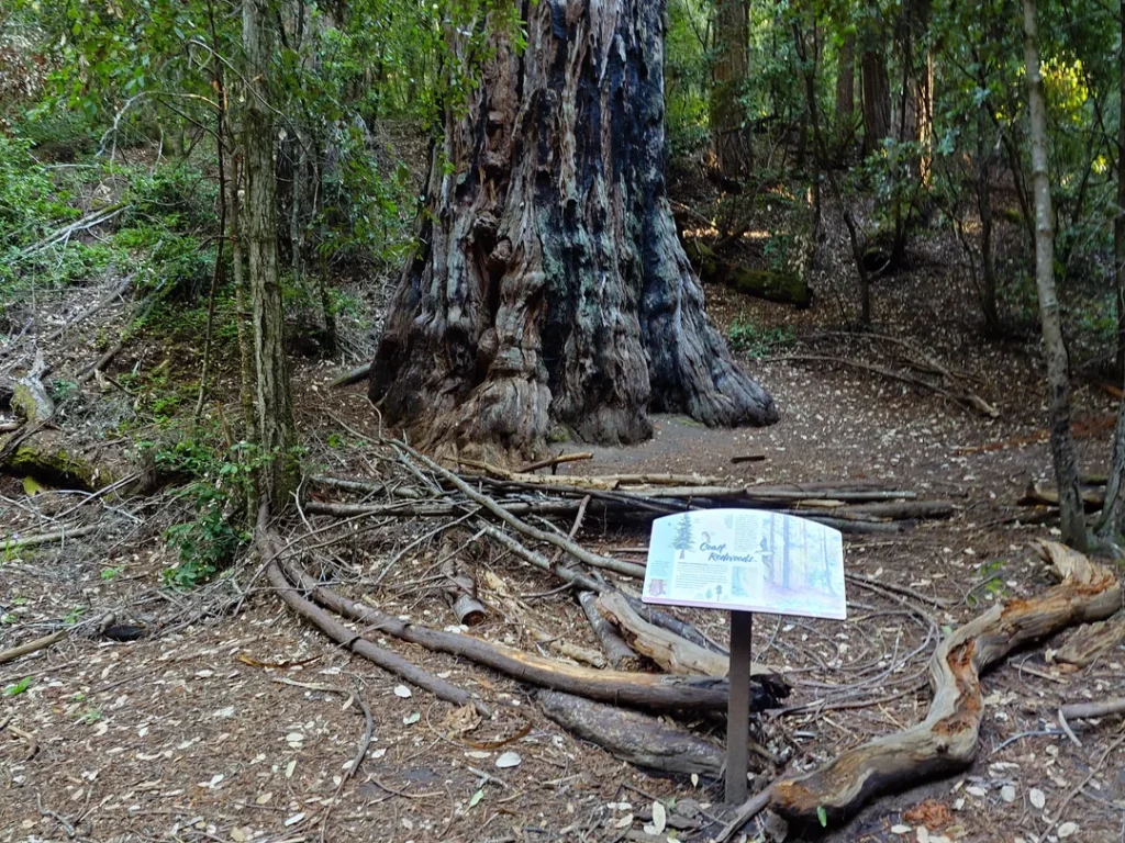
If you only have an hour, hike here. The Old Tree Trail is an easy amble near the campground, with interpretive signs along the way, and ends at a single colossal coast redwood standing alone, estimated at 1,200 years old. State Parks lists the trail at about 1.2 miles round trip with 245 feet of elevation change. Stand at the base and look up.
Sequoia Nature Trail and the Shell Tree
This 0.75-mile loop begins behind the visitor center and works as a self-guided introduction to the park’s natural history; a brochure is available inside. In summer, a seasonal bridge crosses Pescadero Creek. On the far side stands the Shell Tree, a redwood 17 feet across at the base before a camper’s fire destroyed it in 1989.
You can walk along the shards of its trunk. In spring, look for azaleas and leopard lilies. In winter, you’ll rock-hop or wade the creek, and State Parks advises against crossing if the water is above your knees.
Iverson Trail to Tiptoe Falls
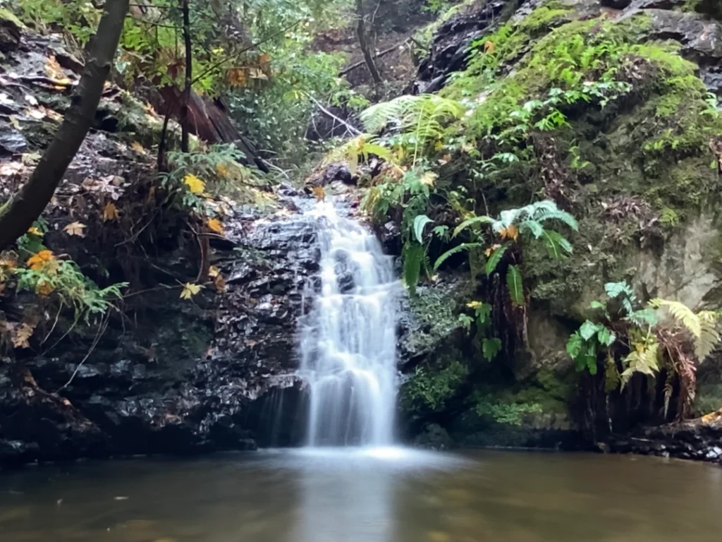
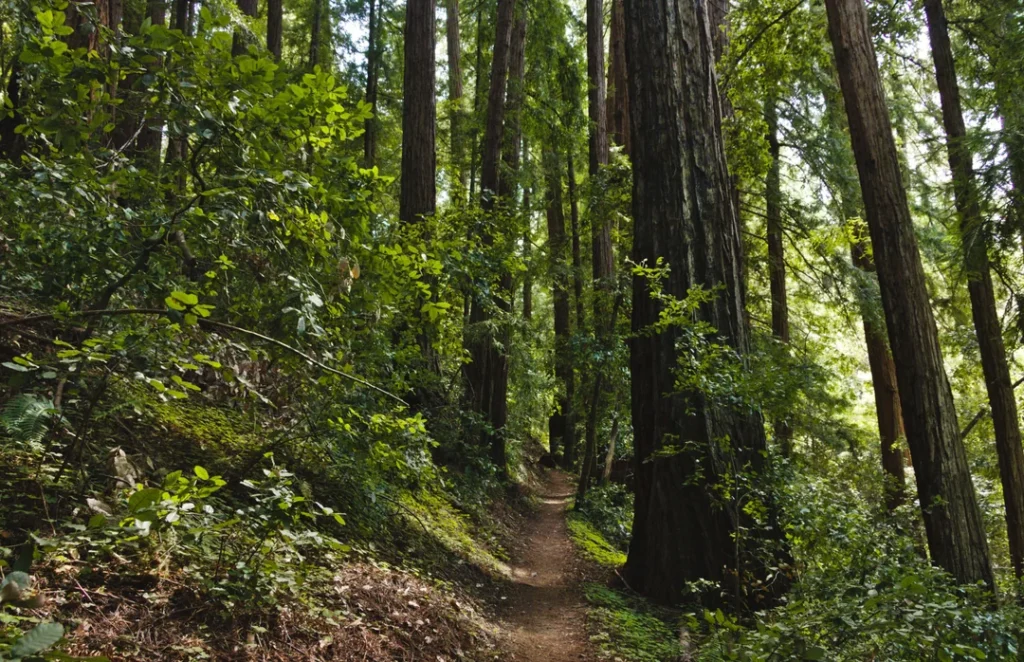
Follow the Sequoia Nature Trail to the Iverson Trail, a leafy path through streamside habitat where huckleberries grow at head height. A short spur leads to Tiptoe Falls, a small cascade where water rushes or trickles through a rocky notch, depending on the season. Look for salamanders in the pool below.
State Parks’ 1.44-mile loop returns by the campfire center and the paved road; in autumn, bright yellow maple leaves light up the route. For more cascades around the state, see our guide to the best waterfall hikes in California.
Upper Coyote and East Tarwater Loop
This 6-mile loop with 760 feet of elevation change starts at the Iverson trailhead, passes an old shingle mill site, and offers canyon views. The return trail is named for the sticky tar that seeps near Tarwater Creek.
Part of the route runs through Pescadero Creek County Park, which has had forest-health work and trail closures in 2026, so check San Mateo County Parks before you go.
Peters Creek Loop: The Full-Day Old-Growth Hike
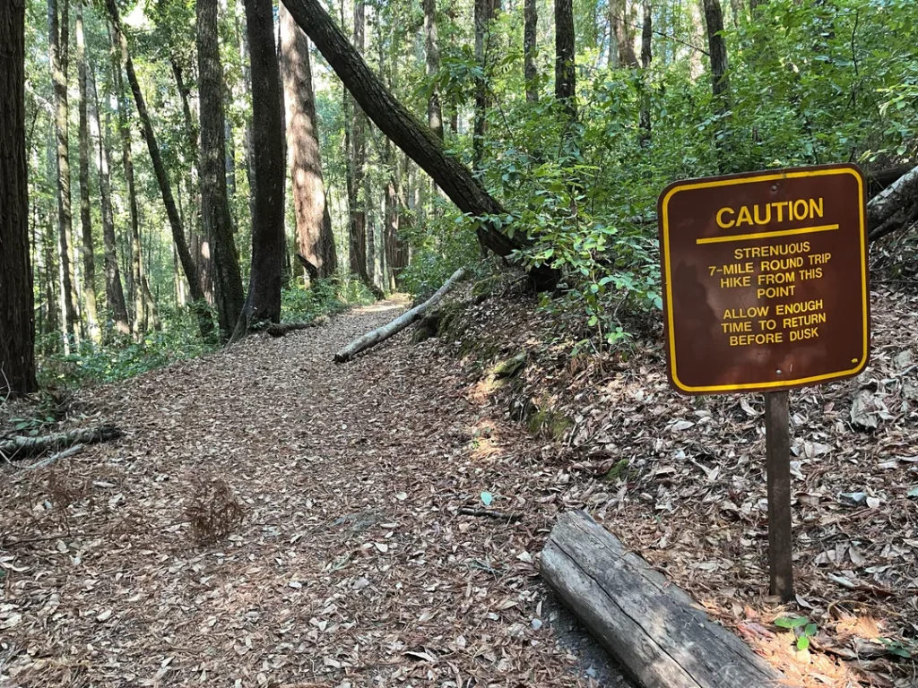
This is the park’s signature effort: 11.9 miles round trip with about 1,030 feet of elevation change. From the Old Tree trailhead, follow the signs for Slate Creek Trail. At the trail camp, 2.5 miles in, veer left onto the Bear Creek Trail for roughly another 2.5 miles, loop around the grove, then backtrack.
Sempervirens Fund describes about 1.5 miles of the route as passing through old-growth redwoods. Start early, since trails close at sunset, and carry a map, water, warm layers and a flashlight. Backpackers can break the trip at Slate Creek Trail Camp.
Know Before You Go: Conditions and Hazards
As of early October 2026, State Parks lists no closed trails but asks hikers to check with visitor center staff before heading out. Expect mud, since the forest takes a long time to dry out.
The area gets roughly 40 to 60 inches of rain a year, summers can be foggy and cool, and layers are smart in every season. Fallen trees can block trails, and small streams turn into rushing creeks after storms. State Parks’ rule is simple: when in doubt, turn back.
Poison oak, stinging nettles and ticks are common, and mountain lions live in the park. Read our guide to wildlife hazards on California trails before you go, and check California hiking trail closures for current conditions.
Portola Redwoods State Park Camping: Sites, Fees and Reservations
Portola Redwoods camping rewards planning, because the road is long and the park has no store. The campground sits where the two creeks meet, and it’s seasonal.
Family Campsites
The main campground has 55 family sites, one of them wheelchair-accessible and four requiring a short walk from parking. Each site holds up to 8 people and two cars. There are no hookups, and trailers are limited to 21 feet and motor homes to 24 feet.
Check-in is 2 p.m. and check-out is noon. Pay showers cost 25 cents for two minutes. Friends of Santa Cruz State Parks lists campsites at $35 per night, and the campground typically runs from April through October.
Book on ReserveCalifornia, which opens reservations six months ahead at 8 a.m. PST. Reservations are needed for weekends and holidays. If you arrive without a booking, ask at the park office for a list of open sites; you can register for only one night at a time.
Buy firewood at the park office or from the camp host; don’t gather wood. Camping can also be disrupted by water supply: State Parks closed the campground in August 2022 when Peters Creek ran low.
Hike-and-Bike and Group Camps
Four hike-and-bike sites at Huckleberry Campground are first-come, first-served during camping season. The four group camps are tents-only and require reservations: Ravine holds 25 people, while Hillside, Point and Circle each hold 50.
Slate Creek Trail Camp
Backpackers can camp about 2.5 miles from the Old Tree trailhead along Slate Creek Trail. The camp has 6 sites, each limited to 6 people. Fires aren’t allowed, though backpacking stoves are, and you must pack in water or purify it from Slate Creek, about a quarter mile from camp. No dogs are allowed, and reservations are required, with no dispersed camping.
Friends of Santa Cruz State Parks lists the rate at $15 per night plus an $8 reservation fee. New to overnight trips? Our backpacking trails guide is a good place to start, and our list of campgrounds near California’s top hiking trails shows other options if Portola is full.
Dogs, Bikes, Horses and Other Park Rules
Dogs are permitted only in campsites, picnic areas, on paved roads, and on the Upper and Lower Escape Roads at the campground’s northern edge.
They must be on a leash no longer than six feet, stay attended, and sleep inside a tent or vehicle at night. They aren’t allowed on hiking trails, on dirt roads or in the visitor center. Our guide to hiking with dogs in California lists better options.
Bicycles and horses are limited to paved roads and the service road past the Iverson Cabin site, which links to Old Haul Road in Pescadero Creek County Park and on to Memorial County Park.
State Parks calls the 10-mile round trip one of the Bay Area’s most scenic beginner rides, but county closures have affected Old Haul Road this year, so check ahead. Drones aren’t allowed, and no fishing is allowed in the park.
Finally, Portola Redwoods is “Crumb Clean.” Jays, ravens and crows eat the eggs and chicks of the marbled murrelet, and they’re drawn to food left behind by campers and picnickers. Leave no food out, not even a crumb.
When Is the Best Time to Visit Portola Redwoods State Park?
Day use is open year-round. Spring brings azaleas and leopard lilies along the Sequoia Nature Trail, and autumn turns the maples near Tiptoe Falls yellow.
Summer is easiest for the creek crossing, with the seasonal bridge in place, though fog can keep mornings cool. Winter means mud, high water and early dark.
Where to Go Next After Portola Redwoods
If you’d like more redwoods, the Henry Cowell Redwoods State Park hiking guide covers an easier grove loop farther south, our Forest of Nisene Marks trail guide covers miles of quiet second-growth timberland down in Aptos, and our Big Basin Redwoods State Park hiking guide covers the region’s best-known park. For a wider look at the ridge-and-canyon country around Portola, see the best hiking trails in the Santa Cruz Mountains. For a completely different landscape in the same region, explore our guide to San Bruno Mountain State Park, or return to the San Mateo County trail guide.
Final Recommendation
Here’s the honest version: with an hour, walk to the Old Tree. With half a day, take the Iverson Trail to Tiptoe Falls and return by the Sequoia Nature Trail, pausing at the Shell Tree. With a full day and strong legs, hike the Peters Creek Loop to the old-growth grove. Pack your food and gas in advance, download your map, and book a site early if you want to stay. Portola Redwoods rewards people who prepare, and it gives them quiet in return.
Frequently Asked Questions About Portola Redwoods State Park
How much does it cost to visit Portola Redwoods State Park?
Day use is $10 per vehicle, or $9 for seniors 62 and older. Family campsites are listed at $35 per night, and Slate Creek Trail Camp at $15 per night plus an $8 reservation fee.
Are dogs allowed at Portola Redwoods State Park?
Only in limited areas: campsites, picnic areas, paved roads, and the Upper and Lower Escape Roads. Dogs can’t use hiking trails or dirt roads, and they aren’t allowed in the visitor center or at the trail camp.
Is there cell service at Portola Redwoods State Park?
No. State Parks reports no cell reception in the park or the surrounding area, and there’s no gas or store nearby. Download maps beforehand and fill your tank in Sky Londa or La Honda.
How many campsites does Portola Redwoods State Park have, and when is it open?
The park has 55 family sites, four group camps, four hike-and-bike sites and a six-site backpacker camp. The campground typically runs April through October, though water shortages or severe weather can close it. Reservations open six months ahead.
How long is the hike to the Old Tree?
State Parks lists the Old Tree Trail at about 1.2 miles round trip, roughly 0.6 miles each way. Allow about an hour, including time at the tree.
Can you hike to Peters Creek Grove in a day?
Yes, if you’re fit. The Peters Creek Loop is 11.9 miles round trip with about 1,030 feet of elevation change, so start early and finish before sunset. You can also split it across two days with a reservation at Slate Creek Trail Camp.