The 5 Best Hiking Trails in Pacifica, From a Cult-Film Cliff to the Spot Where Europeans First Saw San Francisco Bay
Pacifica packs a remarkable range into a small coastal footprint, dramatic bluffs, a rare-butterfly ridge, a nationally significant historic discovery site, and a mountain that rises clear above the fog, all within a few miles of each other. Here’s the short version: Mori Point is the trail with the most layered history, Sweeney Ridge is worth it specifically for a clear day when you can see both the ocean and the bay at once, and Montara Mountain is the one to save for when you want to physically climb above Pacifica’s famous marine layer. Navigating these premier Pacifica hiking trails allows you to experience the full geographical variety of the Peninsula coastline.
Disclosure: Please note that some of the links below are affiliate links and at no additional cost to you, I may earn a commission. Know that I only recommend hiking gear I personally stand behind; when you use my affiliate links, it helps me run this blog and keep all of this content free of charge for readers (like you).
Five trails anchor this guide, all part of or adjacent to the Golden Gate National Recreation Area. I’ll flag real distances, fees, and one meaningful historical correction along the way.
Key takeaways
- Most layered history: Mori Point, a cult-film filming location and former Prohibition-era bootlegging operation, now restored wetland habitat.
- Rarest wildlife payoff: Milagra Ridge, critical habitat for the endangered Mission Blue butterfly.
- Most historically significant: Sweeney Ridge, the exact spot where Europeans first saw San Francisco Bay in 1769.
- Easiest, most casual: Rockaway Beach, a flat, tide-dependent sandy walk beneath the bluffs.
- Most physically demanding: Montara Mountain, a genuine summit push that often rises above the coastal fog.
- Endangered species anchor three of these five trails, my guide to wildlife hazards on California trails is worth a look if you’re hiking with a dog near any of them.
Mori Point Trail
Trailhead access and parking at Mori Point, Pacifica
Free Golden Gate National Recreation Area access, with parking at Mori Point Road or Bradford Way, plus ADA-accessible parking and a restroom near Old Mori Road.
What you’ll see: dramatic coastal bluffs with a genuinely layered history
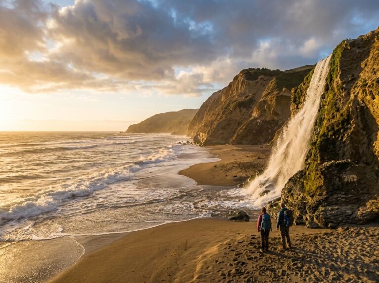
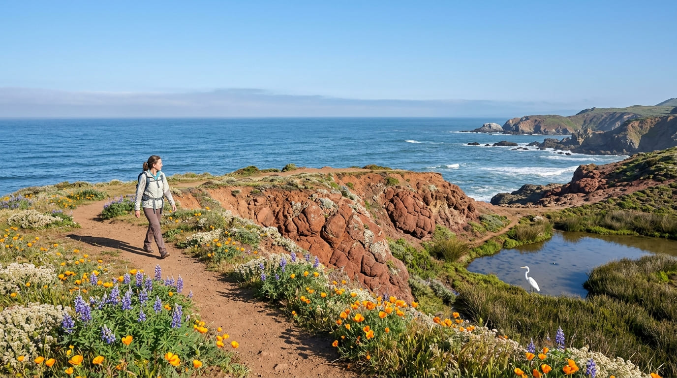
Distances here range from an easy 0.5 to 0.75-mile stroll out to the point, up to a fuller 2.6-mile loop gaining roughly 260 to 393 ft depending on the exact route. Along the way, restored wetlands support the threatened California red-legged frog and endangered San Francisco garter snake, and reddish pillow-basalt bluffs burst with wildflowers each April.
The site’s real screen-history claim is the 1971 cult film “Harold and Maude,” whose famous cliff-driving final scene was shot here, and decades earlier, the Mori family’s roadhouse inn ran a notorious Prohibition-era bootlegging operation on this same bluff.
Best time to hike Mori Point: any season, watch for erosion after storms
Mori Point stays accessible year-round, but bluff-edge sections can erode and become genuinely slick after heavy rain, worth extra caution rather than a reason to skip it entirely.
Milagra Ridge Trail
Trailhead access and parking at Milagra Ridge, Pacifica
Free Golden Gate National Recreation Area access off Sharp Park Road; turn north on College Drive and continue about a quarter mile to roadside parking at the gate.
What you’ll see: critical habitat for the endangered Mission Blue butterfly
This scrub-covered ridgeline is one of only a handful of Bay Area sites supporting the endangered Mission Blue butterfly, alongside nesting red-tailed hawks, genuinely rare-species territory, actively restored by park stewardship volunteers.
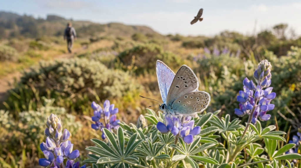
Best time to hike Milagra Ridge: spring for peak butterfly activity
Spring flight season is the entire reason to time a visit here specifically; outside that window, the ridge is still a scenic walk, just without the butterfly’s peak activity.
Sweeney Ridge Trail
Trailhead access and parking at Skyline College or Sneath Lane, Pacifica
Free access from multiple directions: Skyline College parking lots on the San Bruno side, a paved trail from the end of Sneath Lane, or Mori Ridge Trail from the Shelldance Nursery site and Baquiano Trail from Fassler Avenue on the Pacifica side.
What you’ll see: the site where Europeans first sighted San Francisco Bay
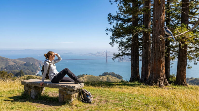
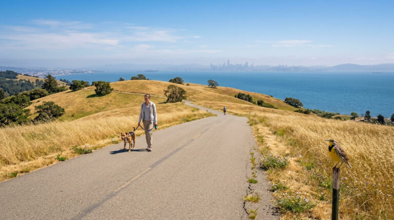
A 1,200-ft ridge-top summit marks the Portolá Discovery Site, commemorating the Spanish expedition’s first sighting of San Francisco Bay on November 4, 1769, though the expedition’s scouts actually spotted it a few days earlier.
A stone plaque and granite monument mark the spot, near the remains of a former Nike missile site, with clear-day views stretching to the Farallon Islands, Mount Tamalpais, Point Reyes, and Mount Diablo.

Best time to hike Sweeney Ridge: clear days for bay and ocean views
This ridge’s defining feature, seeing the Pacific Ocean and San Francisco Bay simultaneously, depends entirely on clear conditions, so check for fog before making the trip specifically for the view.
Rockaway Beach Trail
Trailhead access and parking at Rockaway Beach, Pacifica
Free beachfront access in central Pacifica, adjacent to a small commercial district of restaurants and shops, the most convenient, amenity-adjacent trailhead in this entire guide.
What you’ll see: a sandy beach walk beneath coastal bluffs
A flat, low-effort walk along the sand beneath Pacifica’s bluffs, with surf fishing and sunset views framed by offshore rock formations, the easiest, most casual trail in this guide by a wide margin.
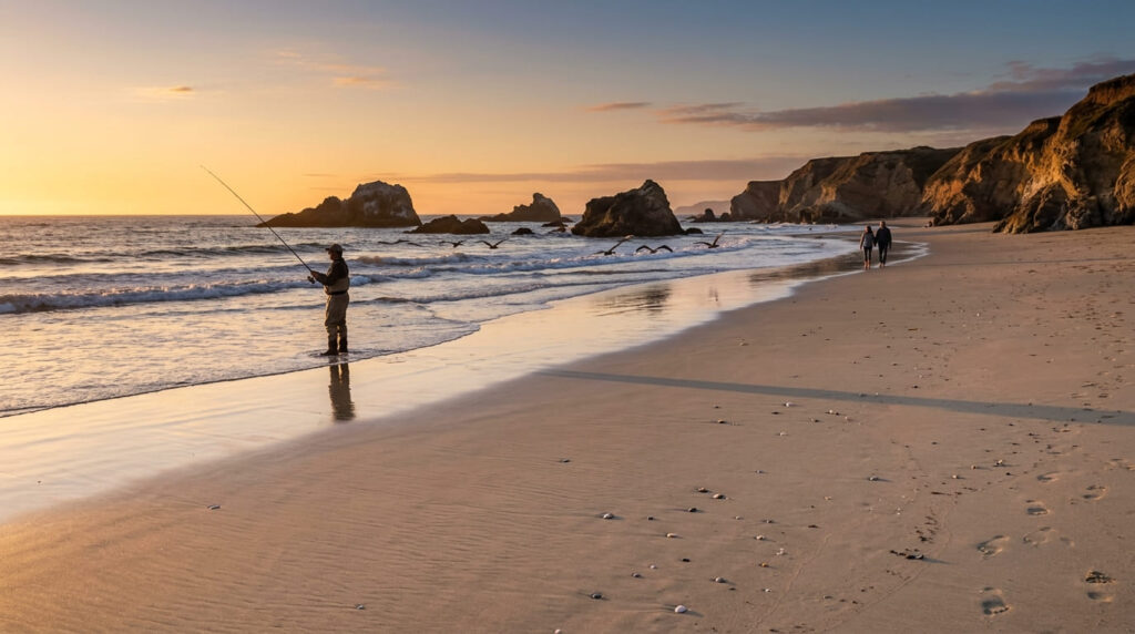
Best time to hike Rockaway Beach: low tide for the widest beach access
The sandy walking area narrows considerably at high tide, so checking a tide table before you go genuinely changes how much beach you’ll actually have to walk.
San Pedro Valley County Park: Montara Mountain Trail
Trailhead access and parking at San Pedro Valley County Park (day-use fee)
A San Mateo County day-use fee applies at this Pacifica park entrance, the approach point for the most physically demanding trail in this entire guide. No dogs are allowed anywhere in the park.
What you’ll see: a demanding climb to panoramic views above the fog line
The named Montara Mountain Trail segment within the park runs about 2.4 miles one-way; continuing past the park boundary into McNee Ranch toward the true North Peak summit (1,898 ft) extends the hike considerably further, with cumulative elevation gain cited as high as 2,400 ft for the fuller route.
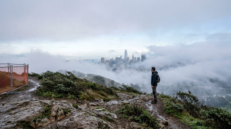
The reward is genuine: this trail often climbs above Pacifica’s characteristic coastal fog layer, revealing sun-drenched, 180-degree views of Devil’s Slide, the ocean, and, on the clearest days, the Golden Gate Bridge itself.
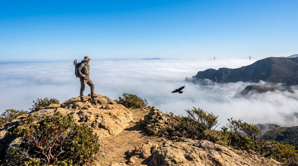
Best time to hike Montara Mountain: midday, once morning fog has burned off
Coastal marine layer typically clears by midday here, especially relevant given how much of this trail’s payoff depends on rising above it.
The trail I’d actually start with
If you’ve only got one stop, make it Mori Point, nothing else in this guide packs as much layered history and wildlife into as short a walk. Sweeney Ridge is worth planning around a genuinely clear day, and Rockaway Beach is the easy add-on when you just want sand underfoot. Save Montara Mountain for a day you’re ready to commit to a real climb.
For the rest of San Mateo County’s coastline just south of here, my San Mateo Coastside trails guide covers Montara, Half Moon Bay, and Pescadero, a natural continuation of this same stretch of coast. If you want to explore north county ridge views beyond Pacifica, San Bruno Mountain’s elevated summit trails offer a great alternative. Since Mori Point’s bluff edges can erode after storms, my San Mateo County hiking guide rounds out the rest of what the county offers.
Frequently asked questions
Is Pacifica hiking good year-round?
Yes, generally, most trails here stay accessible year-round, though coastal fog and rain-driven bluff erosion (especially at Mori Point) are worth checking before a winter visit.
Were silent films shot at Mori Point?
Not that I could verify, the site’s real screen history is the 1971 cult film “Harold and Maude,” whose iconic final scene was filmed on a Mori Point bluff.
Is the Mission Blue butterfly endangered?
Yes, it’s a federally endangered species, and Milagra Ridge is one of only a handful of Bay Area sites protecting its critical habitat.
Did Europeans first see San Francisco Bay from Sweeney Ridge?
Yes, a Spanish scouting party from the Portolá expedition became the first Europeans to sight the bay from this ridge, officially dated to November 4, 1769, with the expedition’s scouts actually spotting it a few days before that.
Is Rockaway Beach good for a casual walk?
Yes, it’s the flattest, most low-effort trail in this entire guide, genuinely well-suited to a relaxed stroll rather than a real hike, especially at low tide.
Which Pacifica trail is the most challenging?
Montara Mountain via San Pedro Valley County Park, by a clear margin, the only trail in this guide involving a genuine sustained climb, rewarded with views above the fog line that none of the other four trails can match.