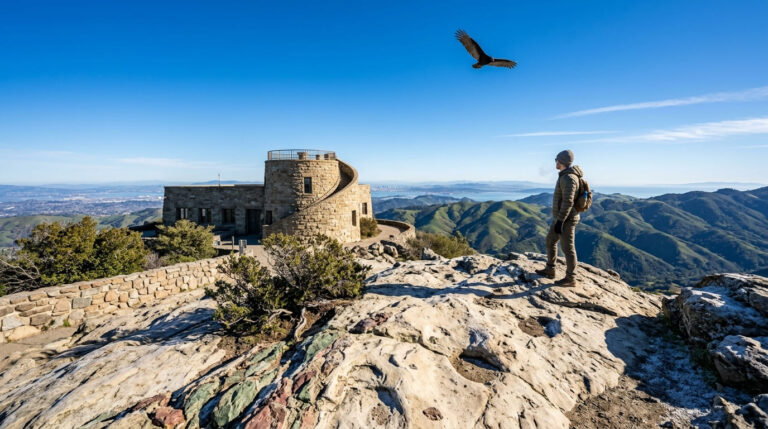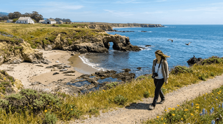
The 5 Best Hiking Trails in the East Bay Hills, Alameda County
This is the bigger, wilder counterpart to my Berkeley-specific trails guide, five regional parks spanning Oakland, Castro Valley, Fremont, and Hayward, from a genuine redwood forest to the East Bay’s most popular summit hike. Start at the Alameda County trail guide for the complete picture. Discovering these spectacular East Bay Hills Hiking Trails highlights the massive scale and rugged variety of the region’s wilderness corridors.
Disclosure: Please note that some of the links below are affiliate links and at no additional cost to you, I may earn a commission. Know that I only recommend hiking gear I personally stand behind; when you use my affiliate links, it helps me run this blog and keep all of this content free of charge for readers (like you).
Key takeaways
- The shaded classic: Redwood Regional Park’s Stream Trail, second-growth coast redwoods just miles from downtown Oakland.
- The ridge-top workout: Chabot’s Bort Meadow to MacDonald Trail, open grassland views toward Mount Diablo.
- The geology lesson: Sibley Volcanic Preserve, a 10-million-year-old extinct volcano, with a self-guided interpretive trail.
- The East Bay’s most popular summit: Mission Peak, genuinely crowded, with two trailheads that aren’t interchangeable.
- The pastoral outlier: Garin/Dry Creek Pioneer, historic ranch buildings and rolling grassland near Hayward.
- Mission Peak’s two trailheads have very different parking situations. Read that section closely before you pick one.
Redwood Regional Park: Stream Trail
Trailhead access: free East Bay Regional Park District trailhead, Oakland hills
For full trail breakdowns, check out our comprehensive Reinhardt Redwood Regional Park guide, officially renamed Dr. Aurelia Reinhardt Redwood Regional Park in 2019, has its main entrance, Redwood Gate, on Redwood Road, about two miles east of Skyline Boulevard. Several staging areas offer free parking, with a seasonal fee at Redwood Gate specifically.
What you’ll see: second-growth redwoods that once guided ships into San Francisco Bay
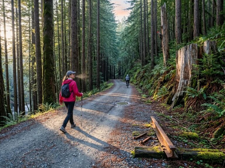
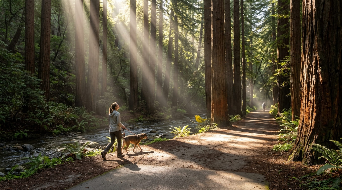
This park protects the largest remaining natural stand of coast redwood in the East Bay, descendants of an old-growth grove so tall it reportedly served as a navigation landmark for ships entering the Golden Gate, before being logged out in the 1840s.
The Stream Trail itself runs about 4 miles round trip, paved for the first 0.9 miles from Canyon Meadow before becoming a wide dirt path beside Redwood Creek, which can rise noticeably after winter rain, a mild water hazard worth knowing about if you’re hiking with kids close to the bank. Dogs are welcome on leash.
Best time to hike Stream Trail: a shaded year-round escape from East Bay heat
Consistent redwood canopy keeps this trail noticeably cooler than the more exposed grassland trails elsewhere in this guide, since shade changes both comfort and footing here.
Chabot Regional Park: Bort Meadow to MacDonald Trail
Trailhead access: free East Bay Regional Park District trailhead, Castro Valley
Anthony Chabot Regional Park, one of the East Bay’s largest, has free parking at the MacDonald Gate Staging Area near Castro Valley.
What you’ll see: open grassland ridges with views toward Mount Diablo
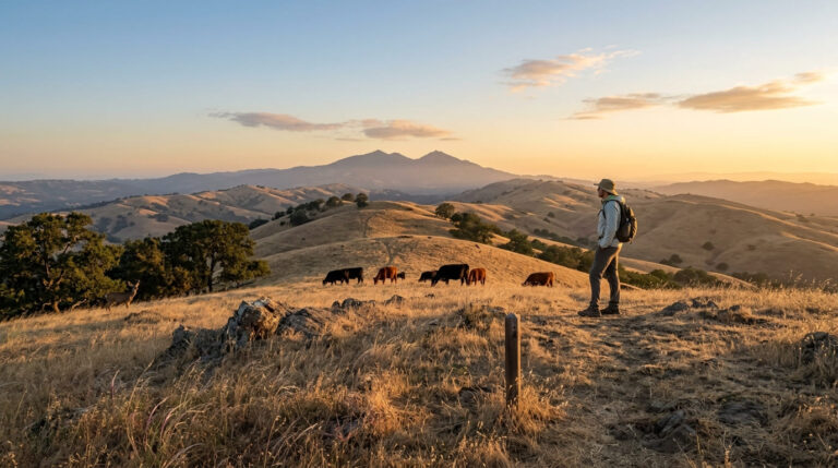
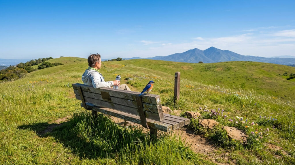
It’s about 5.2 miles round trip with roughly 940 feet of gain, climbing steeply at the start before leveling into a gentle, mostly downhill stretch toward Bort Meadow, with sweeping East Bay ridge views and benches at the overlook for a break. On clear days, Mount Diablo is visible to the east.
Best time to hike Bort Meadow to MacDonald Trail: spring for green hills and wildflowers
Spring delivers this trail’s green hillsides before the East Bay’s characteristic summer transformation to golden brown, a real seasonal contrast worth timing a visit around.
Sibley Volcanic Regional Preserve Trail
Trailhead access: free East Bay Regional Park District trailhead, Oakland hills
Sibley’s main staging area sits on Skyline Boulevard, free parking, though it fills quickly given how limited the lot is relative to the preserve’s popularity. Established in 1936, this is one of the East Bay Regional Park District’s three original parks, alongside Temescal and Tilden.
What you’ll see: ten-million-year-old volcanic rock formations
Round Top, the preserve’s highest point, is the eroded remnant of a volcano active roughly 10 million years ago, later tilted on its side by tectonic uplift along the Hayward and Moraga faults.
A free self-guided brochure walks you through the Volcanic Trail, a 0.75-mile former quarry haul road lined with interpretive stops explaining the geology, genuinely one of the more educational short trails in this entire East Bay series.
The Sibley Volcanic Mine operated here from 1873 to 1909, mining rhyolite for construction. Dogs are allowed.
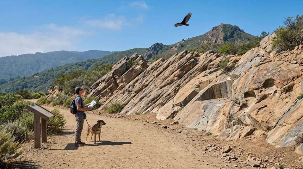
Best time to hike Sibley Volcanic Preserve: any season, a reliable educational walk
This trail’s short length and interpretive-sign format make it comfortable and informative nearly any time of year, a dependable option regardless of season.
Mission Peak Regional Preserve Trail
Trailhead access: Ohlone College or Stanford Avenue, Fremont, the two aren’t interchangeable
Stanford Avenue is the steeper, more direct route to the summit, but its lot has only 43 spaces and strictly enforced hours, citations for being inside the park after posted closing start at a minimum of $300.
Ohlone College’s lot has over 900 spaces and much better weekend availability, at the cost of a longer, more gradual approach. Both are genuinely popular; parking difficulty is a real practical factor here in a way it isn’t at the rest of this guide’s trails.
What you’ll see: a famous summit rock formation and sweeping Bay Area views
The Stanford Avenue route runs about 6.1–6.2 miles round trip; the Ohlone College route runs 6.75–8.2 miles depending on the exact loop, both gaining roughly 2,100 feet to the 2,517-foot summit.
The distinctive rock formation at the top, with a lone tree growing from it, is one of the most photographed hiking landmarks in the entire East Bay. On clear days, views stretch from Silicon Valley to San Francisco and from Mount Diablo to Livermore.
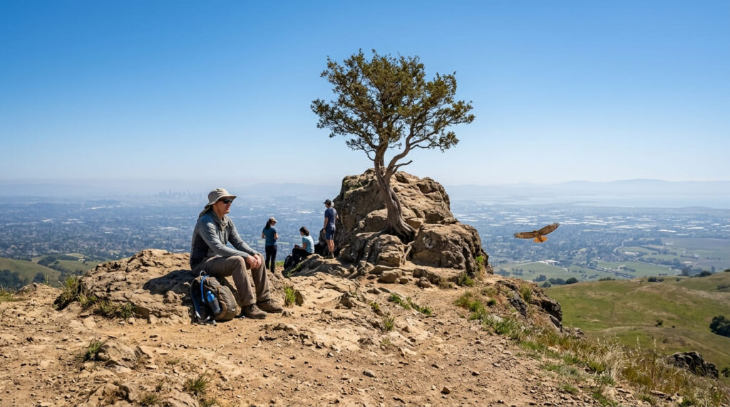
Best time to hike Mission Peak: weekday mornings, this is one of the most popular East Bay trails
Weekend crowds here are genuinely significant, with hundreds of hikers attempting the summit on a nice Saturday, an early weekday start is the real way to get a quieter version of this hike.
Garin / Dry Creek Pioneer Regional Parks Trail
Trailhead access: free East Bay Regional Park District trailhead, Hayward
Garin Regional Park has its own free lot in Hayward, connecting into the adjacent Dry Creek Pioneer Regional Park along a historic ranching landscape, the most rural, least-developed pairing of parks in this entire guide.
What you’ll see: historic ranch buildings and rolling grassland
Preserved 19th-century ranch structures sit amid open, rolling grassland hills, a genuine pastoral-history entity distinct from the redwood forest, volcanic geology, and urban-adjacent summit covered elsewhere in this guide.
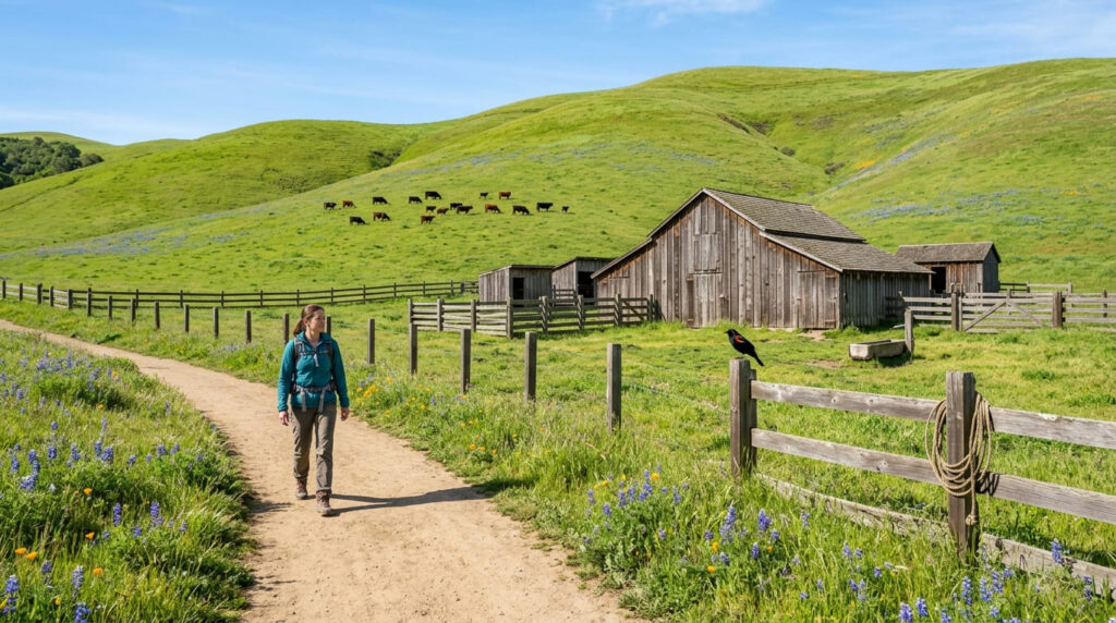
Best time to hike Garin/Dry Creek Pioneer: spring for wildflowers, fall for cooler temperatures
Spring brings the strongest wildflower bloom across the open grassland; fall offers the most comfortable temperatures for the same exposed terrain.
Which of these five to hike first
If you want the shadiest, most reliably comfortable option, Redwood Regional Park’s Stream Trail is the clear pick. If you’re chasing the classic East Bay bragging-rights hike, Mission Peak delivers it, just go on a weekday and pick your trailhead carefully.
And if you want something genuinely different from the rest of this guide, Sibley’s volcanic history is unlike anything else in this East Bay series.
Frequently asked questions
Where is the Mission Peak hiking trail?
In Fremont, accessible from two trailheads: Ohlone College (43600 Mission Blvd.) or the Stanford Avenue staging area, both leading to the same 2,517-foot summit.
Were the original Redwood Regional Park trees used for navigation?
Yes, according to historical accounts, the original old-growth grove was reportedly tall enough to serve as a landmark for ships entering San Francisco Bay, before being logged out in the 1840s.
Can you see Mount Diablo from Chabot Regional Park?
Yes, on clear days from the ridge sections of the Bort Meadow to MacDonald Trail.
Was there a volcano in the Oakland hills?
Yes, Round Top, the high point of Sibley Volcanic Regional Preserve, is the eroded remnant of a volcano active roughly 10 million years ago.
Is Mission Peak Trail crowded?
Yes, genuinely one of the most popular hikes in the East Bay, with hundreds of hikers on a typical weekend, weekday mornings are meaningfully quieter.
Are there historic ranch buildings at Garin Regional Park?
Yes, preserved 19th-century structures remain on-site, reflecting the area’s ranching history amid the park’s rolling grassland.