California Trails Navigation Hazards: How to Avoid Getting Lost
Getting lost is the single most common reason California hikers end up needing rescue, more common than injury, more common than wildlife encounters, more common than anything dramatic. I’ve spent four-plus years cataloging trails across this state, and the pattern behind almost every “how did they get lost” story I hear is the same: someone was unprepared for California trails navigation hazards, relied on one navigation method, that method failed, and they had no backup. This guide covers paper maps, the current app landscape, what to do when technology fails, and what to actually do if you realize you’re off-route.
Disclosure: Please note that some of the links below are affiliate links and at no additional cost to you, I may earn a commission. Know that I only recommend hiking gear I personally stand behind; when you use my affiliate links, it helps me run this blog and keep all of this content free of charge for readers (like you).
Key takeaways:
- Getting lost, not injury or wildlife, is the leading cause of trail search-and-rescue calls.
- Carry at least two independent navigation methods; phone battery and cell signal both fail on California trails regularly.
- AllTrails is best for finding and discovering trails; Gaia GPS is built for serious backcountry navigation, and many experienced hikers carry both.
- Download offline maps before you lose signal, not after.
- If you realize you’re lost, stop moving before you do anything else.
Why getting lost is more common than you think on California trails
California’s trail network makes this easier to do than most hikers expect: unsigned junctions in the backcountry, faint use trails that split off the main route, snow-covered trail beds in shoulder season that bury the actual tread, and genuine cell dead zones in canyons and dense forest where you’d most want a phone to work. None of that requires bad luck; it just requires trusting one navigation method a little too much, on a trail that turns out to be less obvious than the map made it look.
The most common navigation mistakes California hikers make
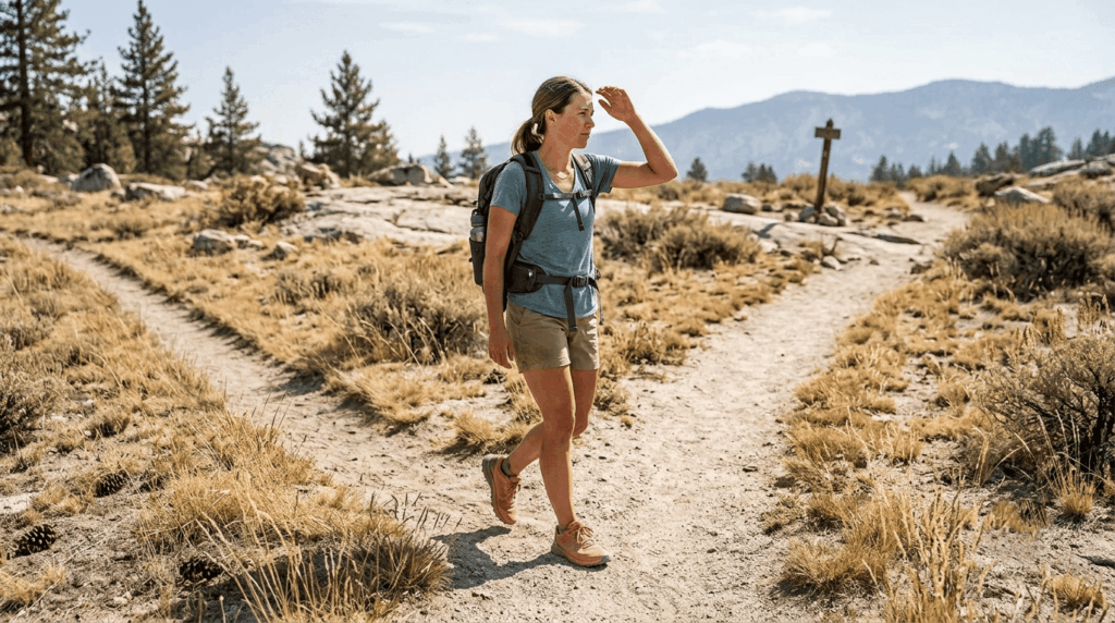
The mistakes I see repeated aren’t exotic. Overreliance on cell signal is the big one; hikers assume their phone will work when they need it, right up until it doesn’t. Not downloading offline maps before losing signal is a close second. Beyond that, missing an unmarked junction and trail braiding, where multiple worn paths make it unclear which one is the real trail, both trip up experienced hikers just as often as beginners.
How to use a paper trail map for navigation in California
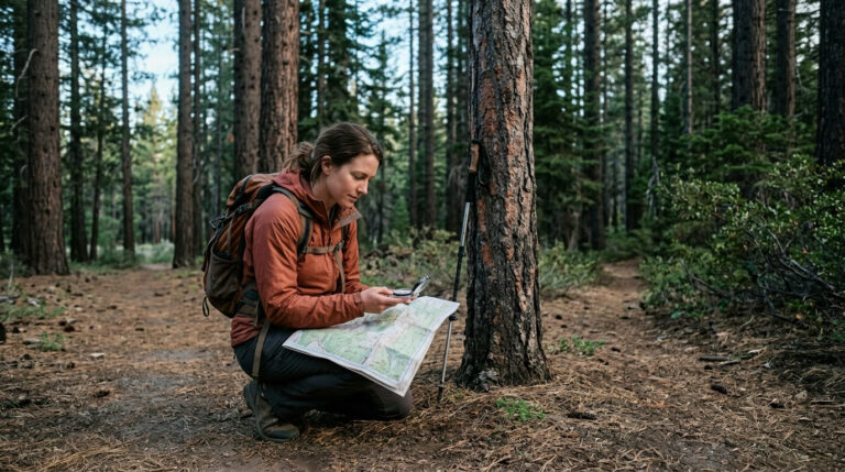
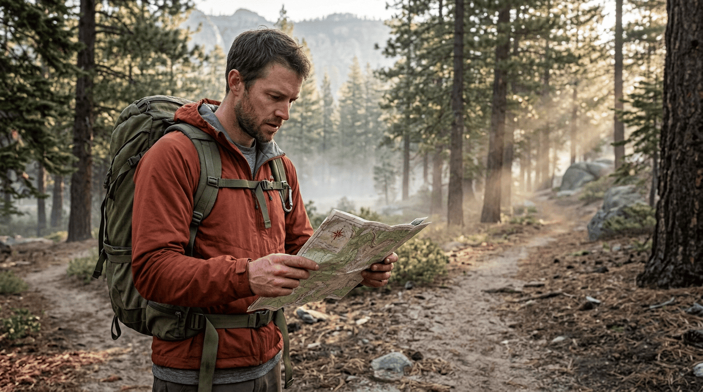
A paper map doesn’t need battery, signal, or an app update, which is exactly why it should still be in your pack even if you navigate by phone 95% of the time.
How to read contour lines on a California topographic map
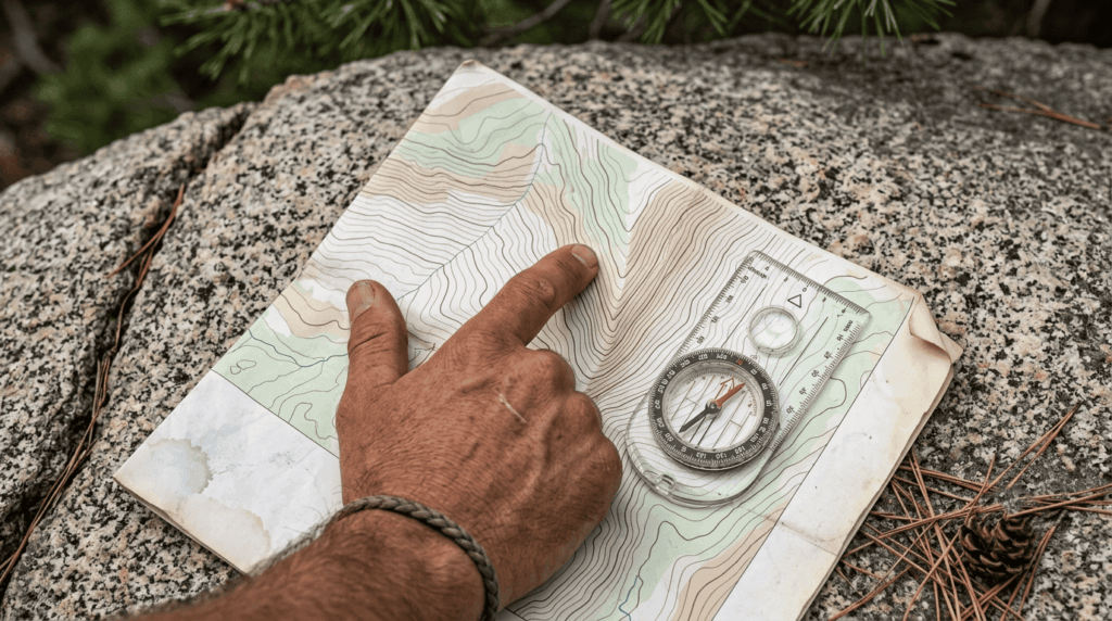
Contour lines connect points of equal elevation, and the spacing tells you the story: tightly packed lines mean steep terrain, widely spaced lines mean gentle slopes, and lines that form tight V-shapes pointing uphill usually mark a drainage or canyon, while V-shapes pointing downhill usually mark a ridge. The contour interval (printed in the map legend) tells you how much elevation each line represents. Check it before you assume two lines are close together on the ground, the way they look on paper.
How to orient a map with a compass on California trails
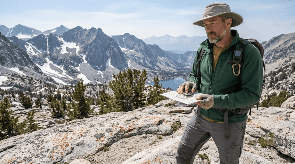
Line up your base plate compass’s orienting lines with the map’s north-south grid, then account for magnetic declination; in California, that’s roughly 11–14°E depending on where you are in the state, meaning magnetic north and true north aren’t quite the same direction here. Once the map is oriented to the actual north, you can triangulate your position using two or more visible landmarks, which is the core skill that makes a paper map useful instead of decorative.
Digital navigation: apps and GPS devices for California trails
AllTrails vs. Gaia GPS for California trail navigation: which is better?
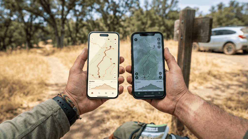
Neither app is strictly better; they’re built for different jobs, and plenty of experienced hikers run both.
| AllTrails | Gaia GPS | |
|---|---|---|
| Best for | Finding and discovering trails, day hikes | Serious backcountry navigation, off-trail terrain |
| Free tier | Trail search, limited map layers, no offline | Basic maps, limited layers, no offline |
| Paid tier | AllTrails+, roughly $35/year — offline maps, wrong-turn alerts | Gaia Premium, roughly $40–60/year — deep topo layers, unlimited offline downloads |
| Strength | Huge community-reviewed trail database | Detailed topographic and backcountry-specific map layers |
My take: start with AllTrails to find and research a trail, and if you’re headed into real backcountry, add Gaia GPS for the navigation depth AllTrails wasn’t built for. Pricing on both shifts over time, so confirm current rates in-app before you subscribe.
How to download offline maps before a California hike
Download your map while you still have signal, ideally the night before, not at the trailhead where coverage is often already spotty. Both AllTrails and Gaia GPS require a paid tier to download maps for offline use; Google Maps offers a more limited offline option built for roads and navigation rather than trail-specific detail. Whichever app you use, open it in airplane mode before you leave cell coverage to confirm the download actually worked.
When to use a dedicated GPS device instead of a phone on California trails
A dedicated GPS device makes sense once you’re deep enough into the Sierra backcountry or desert that phone battery life and durability become real limiting factors; devices are built to survive drops and cold, and their batteries last for days instead of hours of screen-on navigation. For most day hikes on established trails, a phone with offline maps and a backup battery is enough; for multi-day remote trips, a dedicated device (or a satellite messenger with navigation features) closes a real gap.
How to navigate when technology fails: lost without signal in California
Using the sun, stars, and terrain to navigate without technology
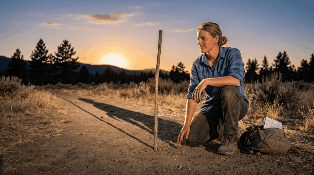
The shadow-tip method works with nothing but a stick and patience: plant a stick upright in the ground, mark the tip of its shadow, wait 15 minutes, mark the new shadow tip position, and the line between the two marks runs roughly east-west, with the first mark on the west end. At night, the North Star, found by following the two outer stars of the Big Dipper’s cup upward, points close enough to true north to reorient by, even without a compass. Terrain association is the quieter skill underneath both of these: noticing that water flows downhill into drainages, ridgelines connect high points, and a trail you’ve already hiked tends to follow logical, consistent terrain features, can keep you roughly oriented even with no tools at all.
What to do if you realize you are lost on a California trail
Use the STOP method before doing anything else:
- Stop. Moving further while disoriented usually makes things worse, not better.
- Think. When did you last know exactly where you were?
- Observe. Look for landmarks, trail markers, or terrain features that match your map.
- Plan. Decide whether to retrace your last known route or stay put, and if you have a signal device, use it.
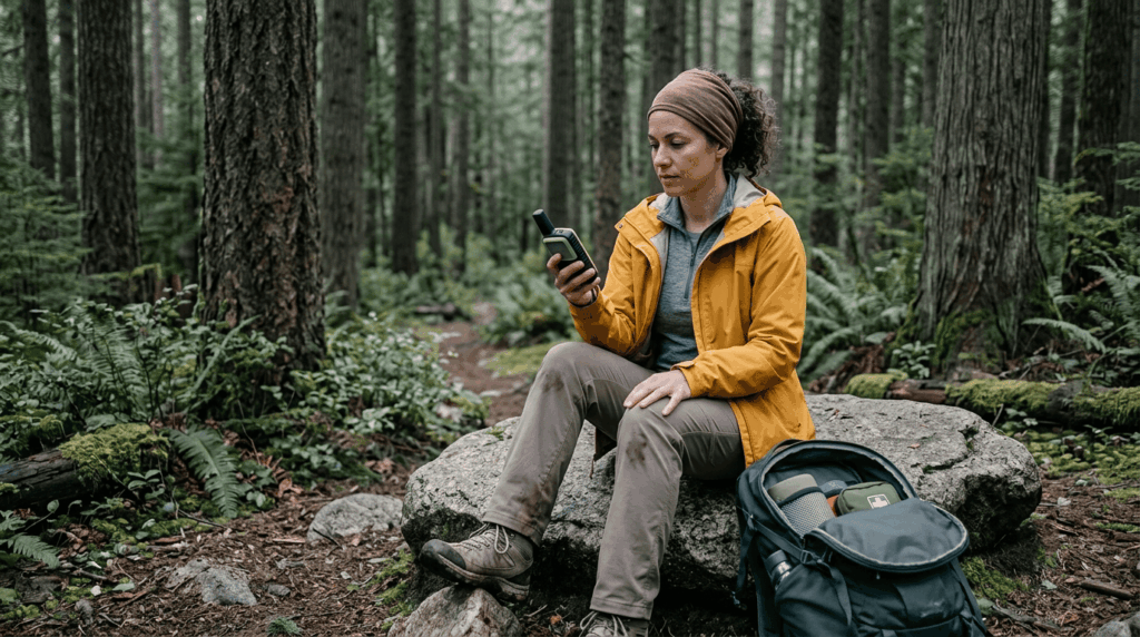
In most cases, staying near your last known point and signaling for help is safer than continuing to move deeper into unfamiliar terrain.
Does Google Maps show hiking trails in California?
Google Maps vs. AllTrails for California trail navigation: what each does best
Google Maps is built for getting you to the trailhead, not navigating once you’re on the trail. It shows some popular trails but lacks the trail-specific detail, elevation profiles, and community condition reports that dedicated hiking apps provide, and its trail data can be incomplete or outdated in less-trafficked areas. Where it genuinely excels is driving directions, parking, and confirming a trailhead’s exact location before you leave cell coverage. Use Google Maps to get to the dirt lot, then switch to AllTrails or Gaia GPS once your boots hit the trail itself.
If you’re still building your gear list before a trip, our Ten Essentials breakdown covers navigation tools alongside everything else worth carrying, and matching a trail’s difficulty to your navigation skill level is worth doing, honestly, before you commit to a remote route.
Frequently asked questions: navigation hazards on California trails
Does Google Maps show hiking trails in California?
Only partially, it shows some popular trails and is reliable for driving to trailheads, but it lacks the trail-specific navigation detail that AllTrails or Gaia GPS provide once you’re on foot.
How do I download maps for offline hiking in California?
In AllTrails or Gaia GPS, select your route and use the app’s offline download option while you still have cell signal; both require a paid subscription tier for this feature.
What is the best navigation app for hiking in California?
It depends on your use case: AllTrails is best for finding and researching trails, while Gaia GPS is built for deeper backcountry navigation; many hikers carry both.
What should I do if I get lost on a California trail?
Use the STOP method: stop moving, think about your last known location, observe your surroundings for landmarks, and plan your next move before acting.
Does AllTrails work without cell service in California?
Only if you’ve downloaded the map offline in advance with an AllTrails+ subscription; without that, the app needs a signal to function.
Is a phone GPS accurate enough for backcountry hiking in California?
For most established trails, yes, especially with an offline map downloaded, but battery life and durability limits make a dedicated GPS device or backup battery worth carrying for remote, multi-day routes.