Hiking Trail Difficulty Levels Explained: How California Trails Are Rated
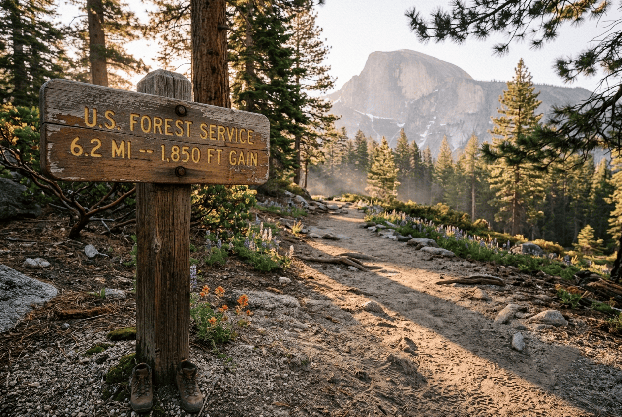
“Moderate” is the most misleading word in hiking. I’ve watched it send more unprepared people up a mountain than any other single label in this sport, and California is where that word gets stretched furthest; a “moderate” coastal trail and a “moderate” Sierra trail can differ by 2,000 ft of elevation gain. Here’s how hiking trail difficulty levels actually work, why California’s trails don’t always match the label, and how to pick a trail that matches your fitness instead of someone else’s.
Disclosure: Please note that some of the links below are affiliate links and at no additional cost to you, I may earn a commission. Know that I only recommend hiking gear I personally stand behind; when you use my affiliate links, it helps me run this blog and keep all of this content free of charge for readers (like you).
Key takeaways
- There are four standard difficulty tiers: Easy, Moderate, Difficult, and Strenuous, used (with some naming variation) by the NPS, California State Parks, and AllTrails alike.
- Ratings are calculated, not guessed: most systems combine distance and elevation gain into one formula, most commonly the Shenandoah scale: √(elevation gain in ft × 2 × distance in mi).
- “Moderate” is the least reliable label in California because elevation gain rate, not distance, is what actually drives difficulty, and CA’s moderate trails often carry more gain than moderate trails elsewhere.
- Region changes the meaning of a rating: the same numeric score plays out very differently on a foggy coastal bluff, a 9,000-ft Sierra pass, or a 110°F desert wash.
- Altitude becomes a real factor above about 8,000 ft, regardless of how “easy” the trail’s mileage looks on paper.
- Best way to self-check a trail: read its stats page (distance, elevation gain, recent reviews) against your own last few hikes, not against the difficulty label alone.
Why trail difficulty ratings matter before you hike
A difficulty rating is a prediction, not a guarantee, and treating it as gospel is how good hikers end up in bad situations. Understanding what a hiking trail actually is gets you started; understanding its difficulty rating is what keeps the day from going sideways.
What happens when hikers choose the wrong difficulty level?
The most common outcome isn’t injury; it’s running out of daylight or water because a trail took twice as long as expected. The more serious outcome is real: heat illness, falls on exposed terrain, or getting caught by weather because a “moderate” rating hid a 2,000-ft climb. Neither is rare. Both are preventable by reading past the label.
Why California trails are rated differently than other states
Elevation gain, heat, and exposure do more work in California than in most states, so a numeric rating here often runs harder than the same number feels in, say, the Midwest. A Sierra Nevada trail can gain 3,000 ft in 4 mi; a coastal trail of the same length might gain 300 ft. Same mileage, wildly different trail, which is exactly why California trails need context, not just a label.
The 4 standard trail difficulty levels in California
These four tiers show up, in some form, on NPS signs, California State Parks trail markers, and AllTrails filters. The names vary slightly by agency, but the bands below are a reliable baseline.
| Level | Typical distance | Typical elevation gain | What to expect |
|---|---|---|---|
| Easy | Under 5 mi | Under 500 ft | Paved or smooth dirt, minimal navigation |
| Moderate | 3–8 mi | 500–1,500 ft | Some sustained climbing, uneven footing |
| Difficult | 8+ mi | 1,500–3,000 ft | Real elevation gain, possible scrambling |
| Strenuous | 10+ mi or high-altitude | 3,000+ ft | Technical terrain, exposure, permits common |
Easy trails: what to expect in distance, elevation, and terrain
Easy trails run under 5 mi with under 500 ft of gain, usually on paved or hard-packed dirt. This is the tier I recommend for a true first-time hiker or anyone hiking with young kids: no scrambling, no real navigation risk, nothing that punishes a wrong shoe choice.
Moderate trails: the most misunderstood difficulty rating in California
“Moderate” spans a huge range: 3–8 mi and 500–1,500 ft of gain, which means one moderate trail can be twice as hard as another wearing the same label. In California specifically, moderate often means real sustained climbing, not a gentle rolling walk; check the actual elevation-gain number, not just the word.
Difficult trails: elevation gain, technical terrain, and exposure
Difficult trails run 8+ mi with 1,500–3,000 ft of gain, and start introducing scrambling, loose rock, or exposed sections where a fall matters. This is where footwear, trekking poles, and turnaround-time discipline stop being optional.
Strenuous / expert trails: permits, conditioning, and risk
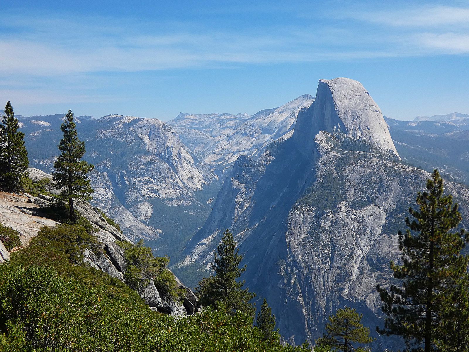
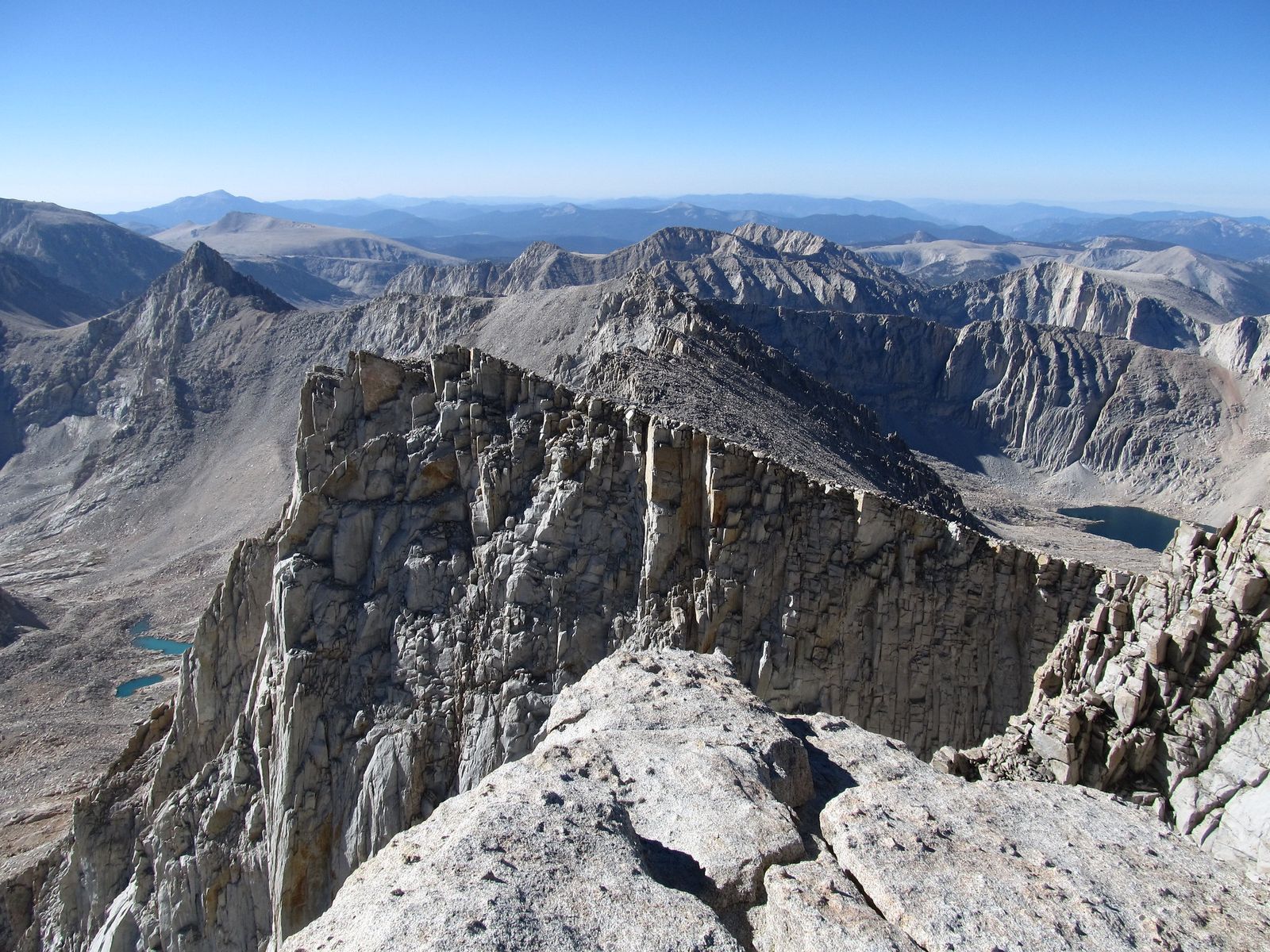
Strenuous trails, 10+ mi, 3,000+ ft of gain, or high-altitude routes are where Half Dome and Mt. Whitney live, both of which also require permits. This tier rewards real training, not just willpower, and it’s the one tier where I’d tell a beginner to wait a season before attempting it.
How trail difficulty is calculated: the science behind the rating
Most agencies don’t eyeball a difficulty rating; they run a formula. The most widely used is the Shenandoah National Park scale: take elevation gain in feet, multiply by 2, multiply by distance in miles, then take the square root. A score under 50 lands as Easy, 50–100 as Moderate, 100–150 as Difficult, and 150-plus as Strenuous. It’s not perfect; it can rate a long, flat trail as harder than it feels, but it’s the closest thing to an industry standard.
Elevation gain vs. total elevation: why both numbers matter
Elevation gain is the total climbing over a hike; total elevation is just how high the trailhead sits. A trail can have a low elevation gain and still be at 9,000 ft total, which is where altitude, not steepness, becomes the hidden difficulty. Always check both numbers, not just one.
Trail length, surface, and exposure: the hidden difficulty factors
A short trail can still be hard. Three miles of loose scree or an exposed ridge in full sun will out-tire a flat six-mile trail every time. Surface and exposure don’t always show up in a simple distance-and-elevation formula, which is exactly why two “moderate” trails can feel nothing alike.
How AllTrails, NPS, and California State Parks rate trails differently
AllTrails leans on crowd-sourced reviews and its own algorithm; the NPS and California State Parks lean on ranger judgment plus a formula like Shenandoah’s. That’s why the same trail can show “moderate” on one and “strenuous” on the other; neither is wrong, they’re just weighting different inputs. When they disagree, trust the agency managing the actual land over the app.
Difficulty ratings by California region and trail type
A difficulty score means something different depending on where you’re standing, and the trail type you’re on changes it further.
Coastal trails: lower elevation, wind, and uneven terrain
Coastal trails often carry modest elevation gain but hide difficulty in wind, loose sand, and cliff-edge exposure. A “moderate” bluff-top trail in high wind can feel harder than its numbers suggest; treat coastal conditions as their own difficulty modifier.
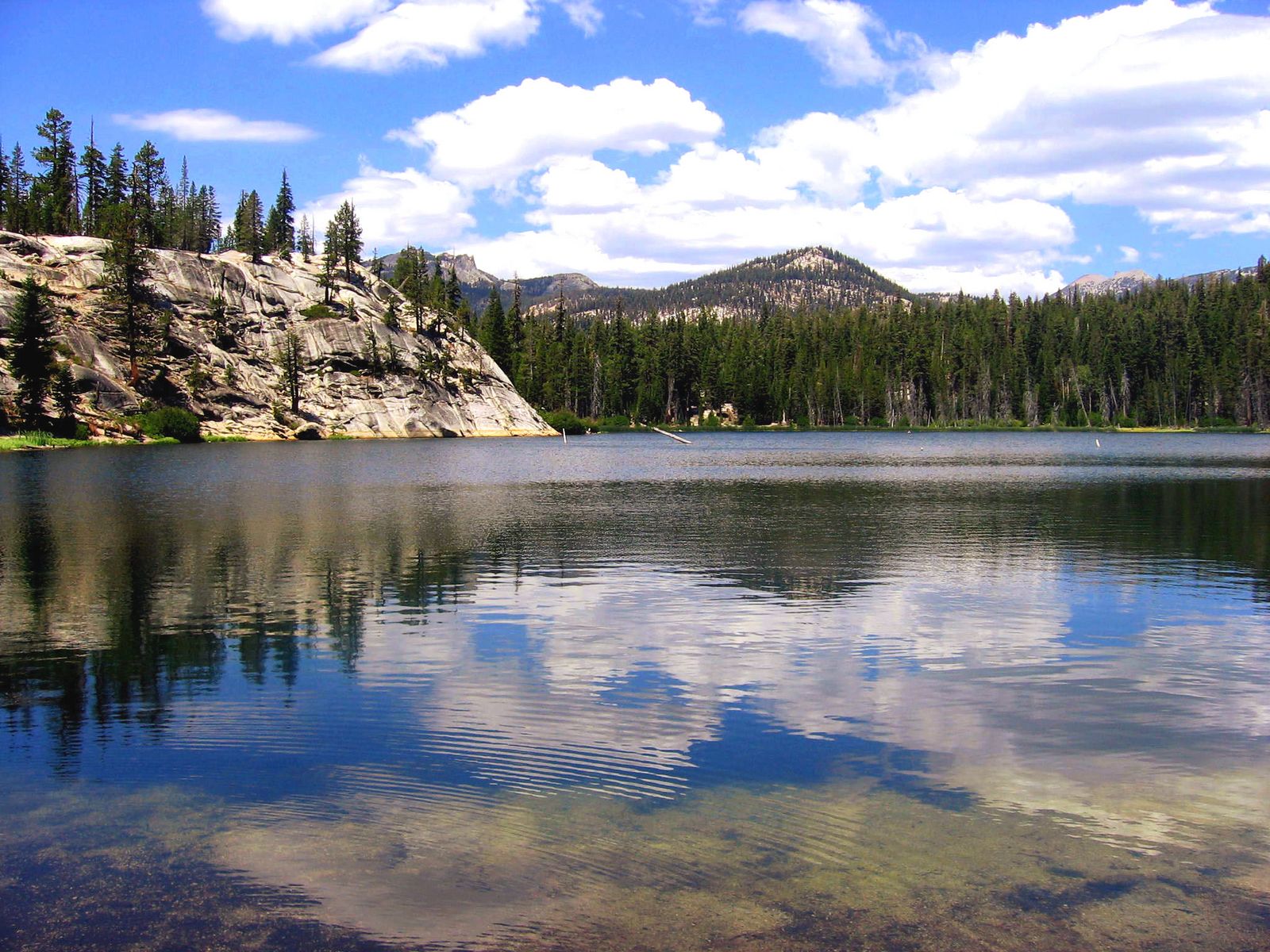
Sierra Nevada trails: altitude sickness, snowpack, and steep grades
Altitude becomes a real factor above roughly 8,000 ft, where acute mountain sickness, headache, nausea, and fatigue can hit hikers regardless of fitness level. Add lingering snowpack into early summer and steep granite grades, and a Sierra “moderate” trail routinely out-hikes a coastal or foothill trail with the same rating.
Desert trails: heat, dehydration risk, and limited shade
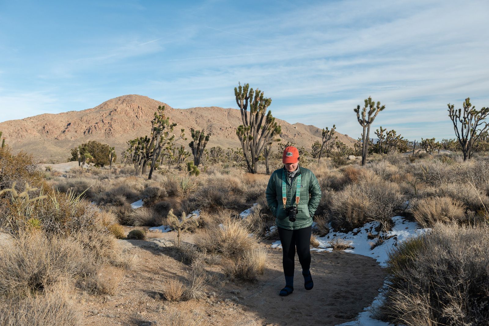
Heat is the difficulty multiplier in the Mojave: the National Park Service advises against hiking after 10 a.m. at low elevation during summer in Death Valley, and recommends roughly a gallon of water per person per hour of activity in extreme heat. No formula captures that; check the forecast, not just the mileage.
How to assess your own fitness level before choosing a trail
A rating tells you about the trail. It doesn’t tell you about you; that comparison is the step most beginners skip.
Beginner, intermediate, and advanced hiker profiles: where do you fit?
Roughly: a beginner is comfortable with occasional walks and no regular cardio training; an intermediate hikes semi-regularly and has done a few 1,000-ft gain days without issue; an advanced hiker trains consistently and has completed multiple 2,000+ ft gain days. Be honest about which one you are; most bad hiking days start with overestimating this.
How to use a trail’s stats page to predict real difficulty before you go
Before trusting a difficulty label, check the trail’s distance, elevation gain, elevation profile, and the last two weeks of reviews. A cluster of recent reviews mentioning “harder than expected” is worth more than the label itself.
Upgrading your difficulty level safely in California
A 4-week training plan to move from easy to moderate trails
Week 1: two easy hikes under 500 ft gain.
Week 2: one moderate hike around 800 ft gain, plus a weighted-pack walk.
Week 3: repeat with a slightly longer moderate trail.
Week 4: Attempt a moderate trail near the top of that range, 1,200-1,500 ft, and use how you feel as your readiness signal for difficult terrain. Check our physical health benefits of hiking post for more on conditioning.
What to do if a trail is harder than expected: turning around safely
Turning around is not failure; it’s the single most reliable difficulty-management tool there is. If you’re at less than half your water, behind your turnaround time, or genuinely struggling at the halfway point, go back the way you came. The trail will still be there next season.
Trail difficulty ratings are a starting point, not a verdict, and once you can read the actual numbers behind the label, you’ll pick better trails than most people who’ve been hiking for years. Start at the level that matches your last few hikes, not your ambitions, and let the essentials in your pack do the rest of the work.
Frequently asked questions about hiking trail difficulty in California
What is the hardest hiking trail in California?
Depends on the metric, but Mt. Whitney (14,505 ft, 6,000+ ft of gain) and Half Dome’s cable section are the two most commonly cited as California’s hardest well-known day hikes. Both require permits and serious conditioning.
Can beginners hike “moderate” trails in California?
Often, yes, but check the actual elevation gain first; a moderate trail with about 500 ft of gain is very different from one with about 1,500 ft. If it’s your first moderate hike, pick one on the lower end of that range.
Does trail difficulty change by season in California?
Yes. Summer heat raises desert and low-elevation difficulty, snowpack raises Sierra difficulty into early summer, and wet season can make coastal and foothill trails slicker and slower than their dry-season rating suggests. Check our seasonal hazards guide for a full breakdown.