How California’s Hiking Trails Are Built & Marked
Every trail you’ve ever hiked was somebody’s deliberate engineering decision: the switchback that saves your knees, the tilt in the dirt that keeps rain from turning your path into a creek bed, the paint mark that told you which way to turn. None of it happened by accident, and understanding how California’s hiking trails are built reveals years of planning before a single tool ever touched the ground. Here’s who actually builds California’s trails, how a new one gets approved, and what all those markers on the trees and rocks are actually telling you.
Disclosure: Please note that some of the links below are affiliate links and at no additional cost to you, I may earn a commission. Know that I only recommend hiking gear I personally stand behind; when you use my affiliate links, it helps me run this blog and keep all of this content free of charge for readers (like you).
Key takeaways:
- Four types of agencies build California’s trails: the National Park Service, U.S. Forest Service, California State Parks, and county or regional park districts, often working alongside volunteer crews.
- A new trail can take years to approve, not build environmental review, and on federal or state land, tribal consultation and species surveys all happen before a single tool touches the ground.
- Switchbacks exist to keep grade sustainable, not just for scenery; sustainable trail grades average around 8–10%, with short pitches up to 15–20% at most.
- Trail drainage is deliberately engineered: outsloped tread, rolling dips, and waterbars all exist to move water off the trail before it causes erosion.
- California doesn’t have one unified blaze system the way the East Coast’s Appalachian Trail does; markings vary by managing agency, from NPS signposts to the PCT’s own distinctive emblem.
- Official cairns are reliable navigation aids; hiker-built ones aren’t. Leave No Trace specifically discourages building new cairns because they can mislead other hikers.
Who is responsible for building hiking trails in California?
No single agency builds California’s trails; jurisdiction splits by land ownership, and who’s responsible changes the moment you cross from one boundary to the next.
Federal vs. state vs. county trail building in California: who does what
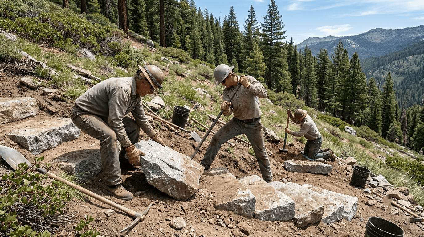
The National Park Service (NPS) builds and maintains trail inside national parks using in-house crews and contractors, applying its own design standards consistently across every park unit. The U.S. Forest Service (USFS) manages national forest trails through a mix of agency crews and volunteer partnerships, often with far more mileage per staff member than the NPS.
California State Parks (California State Parks) handles trail across the state’s 280 parks through its own Department of Parks crews, often supplemented by the California Conservation Corps. County and regional park districts typically rely on public works staff plus volunteer labor for everything closer to home, which is part of why local trail quality can vary so much from one park district to the next.
Trail volunteer organizations that build and maintain California trails
The California Conservation Corps (CCC) puts young adults to work on trail crews across the state as both job training and real infrastructure labor. The Pacific Crest Trail Association (PCTA) organizes volunteer maintenance along its namesake trail’s California sections, the Bay Area Ridge Trail Council (Bay Area Ridge Trail) coordinates work on the planned 550-plus-mile Ridge Trail network, and Sierra Club trail crews contribute volunteer labor across Sierra Nevada trail systems.
How a new hiking trail is planned and approved in California
A new trail’s approval timeline routinely outlasts its actual construction; the paperwork phase is where most of the years go.
Environmental review and tribal consultation in California trail planning
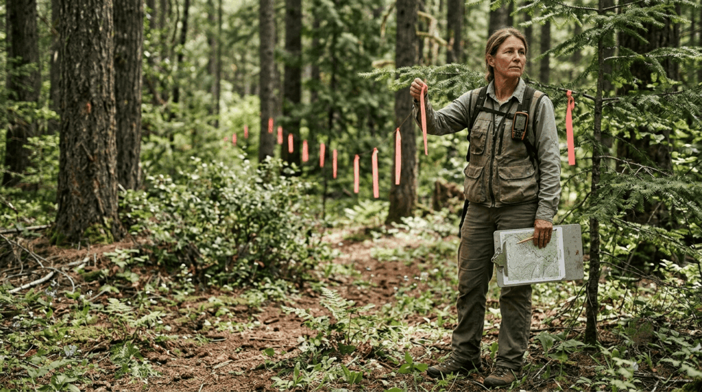
Trail projects on state or local land go through CEQA (the California Environmental Quality Act) review; federal land trail projects go through NEPA (the National Environmental Policy Act) instead, a related but legally separate federal process. Both typically require tribal cultural resource consultation and sensitive species surveys before a project gets approved, and a public comment period gives nearby communities a chance to weigh in before construction ever begins. This is exactly why a “simple” new trail proposal can sit in review for years before anyone breaks ground; the environmental and cultural safeguards apply regardless of how straightforward the physical construction itself would be.
Trail construction techniques used in California
Trail building is applied hydrology as much as it is path-cutting; nearly every design choice exists to control where water goes.
What is a switchback and why are California’s mountain trails full of them?
A switchback is a zigzagging trail segment that climbs a steep slope in a series of angled turns instead of running straight up the fall line. Sustainable trail grades average around 8–10%, with short pitches allowed up to 15–20% for brief stretches, and switchbacks are how trail builders hit that target on genuinely steep terrain; running straight up a 40% slope would both exhaust hikers and erode disastrously fast, since water would have a direct, unobstructed channel to funnel straight down the tread.
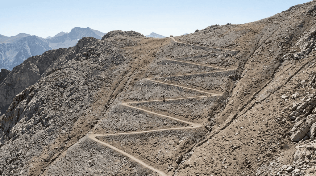
Mount Whitney’s Main Trail and the approach to Half Dome’s cables both use extensive switchbacking for exactly this reason, trading a longer route for one that’s actually sustainable to maintain. Check our hiking difficulty levels guide to see how these grades affect trail ratings.
How trail drainage is built to prevent erosion on California trails
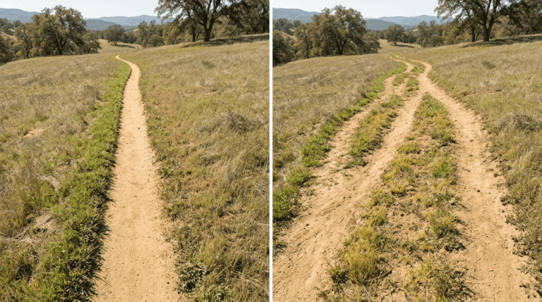
Outsloped tread tilting the trail surface slightly downhill, typically 3–5%, lets water sheet off the trail instead of pooling and running down it. Rolling dips add a shallow cross-drain without fully interrupting the tread, and waterbars (armored drainage channels, often built from rock or timber) handle drainage on steeper sections where a simple outslope isn’t enough.
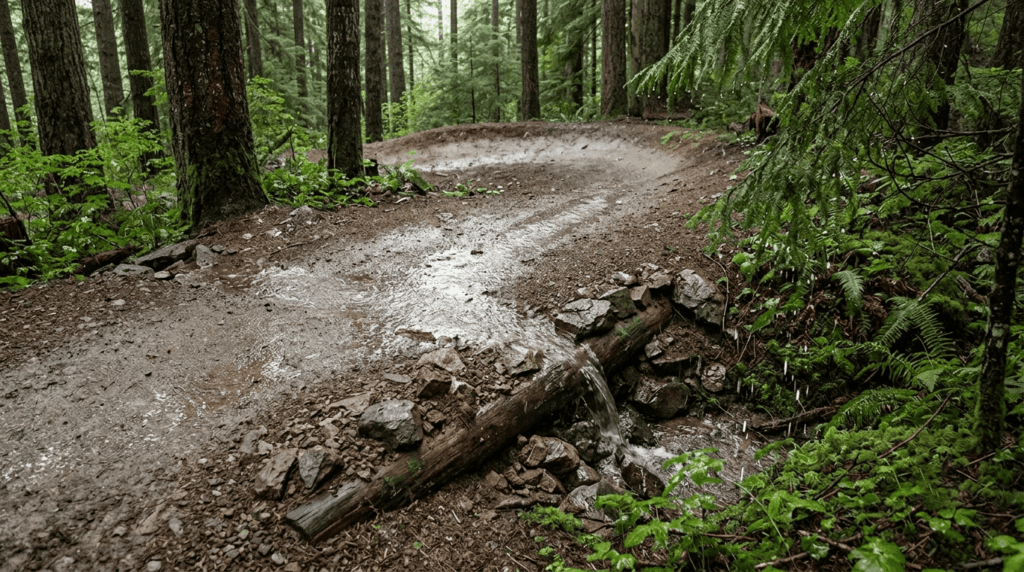
Erosion and washout risk on a trail is very often a sign this original drainage design has failed or been damaged, not just bad luck. A blown-out waterbar or a trail that’s lost its outslope over years of foot traffic is a maintenance gap, not an inevitability.
How hiking trails are marked in California
What does ‘blaze’ mean on a hiking trail? Trail marking explained
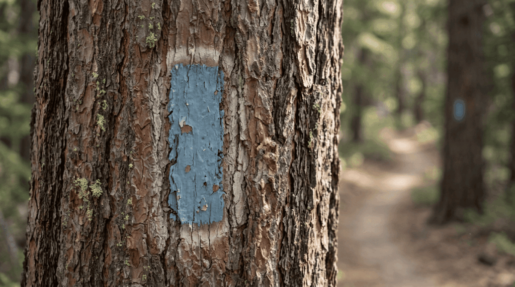
A blaze is a painted or carved mark on a tree or rock that indicates a trail’s route; historically, the simplest way to mark a path through featureless forest before GPS existed. California doesn’t have one single unified blazing system the way the Appalachian Trail’s white-blaze convention works on the East Coast; since the AT itself doesn’t run through California, that convention doesn’t apply here, no matter how often it gets cited as the default example. Instead, marking varies by managing agency and specific trail.
How to read hiking trail markers and signs in California’s parks
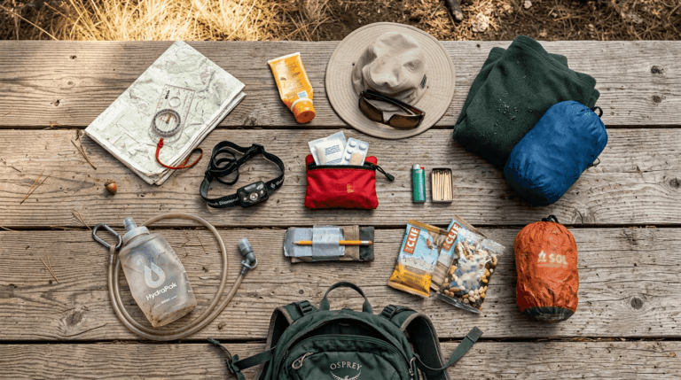
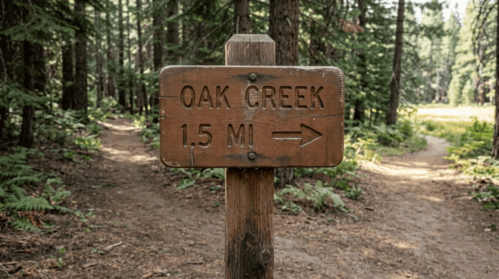
NPS signs typically use brown-and-white styling showing distance and destination, USFS signs mark numbered routes on brown backing, and California State Parks uses its own yellow-toned signage. The Pacific Crest Trail uses a distinctive metal emblem marker rather than paint blazes, and wilderness boundary and permit zone markers show up as their own separate category on trails that cross into regulated backcountry. To navigate these markings when visibility is low, read our orienteering guide on map and compass skills. You can pack a rugged handheld GPS unit or buy paper trail maps for safety.
Cairns as trail markers: when to follow them and when to ignore them
Official, agency-built cairns mark routes across open granite or slickrock where no visible tread exists, and they’re genuinely reliable navigation aids. Unofficial cairns, built by other hikers, aren’t. Leave No Trace specifically discourages building new ones, since a well-meaning but incorrect cairn can send other hikers the wrong way. If a cairn contradicts your map or the terrain around it, trust your navigation over the rock stack.
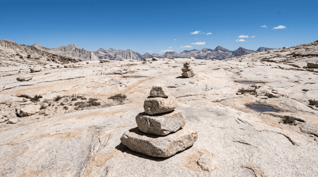
Every trail you hike carries decades of deliberate engineering and a specific agency’s ongoing maintenance behind it, even on the days it feels like empty wilderness. Understanding the switchbacks, drainage, and markers as intentional design, not scenery, makes the trail itself a lot easier to read the next time you’re out there.
Frequently asked questions about how California trails are built and marked
How do I read trail markers and blazes on a California hiking trail?
Check the specific agency’s signage style first. NPS, USFS, and California State Parks each use their own sign conventions and follow painted blazes or the PCT’s metal emblem markers where present. When markers are sparse, cross-reference with a downloaded offline map.
What does ‘blaze’ mean on a hiking trail?
A blaze is a painted or carved mark on a tree or rock showing a trail’s route. Color and shape conventions vary by trail and managing agency rather than following one nationwide standard.
What is a switchback on a hiking trail and why are they built?
A switchback is a zigzagging trail segment used to climb steep terrain at a sustainable grade instead of running straight up the slope. They exist to protect both hikers’ knees and the trail itself from the erosion a straight, steep path would cause.
Who builds and maintains hiking trails in California?
A mix of federal, state, and county agencies, NPS, USFS, California State Parks, and local park districts often work alongside volunteer organizations like the California Conservation Corps and the Pacific Crest Trail Association.
How can I volunteer to help build or maintain trails in California?
Reach out directly to the California Conservation Corps, the PCTA, your local Sierra Club chapter, or a regional trail council like the Bay Area Ridge Trail Council, which most run scheduled volunteer trail days that don’t require prior experience.
How long does it take to build a hiking trail in California?
Actual construction can take weeks to months depending on length and terrain, but the planning and approval process, including environmental review, tribal consultation, and permitting, often takes considerably longer, sometimes multiple years for larger projects.