Historic Pilgrimage & Mission Trails in California
California’s trails carry more layered history than most hikers realize, Native American trade routes that predate written record, Spanish mission paths from the 1700s, and Gold Rush supply trails from the 1800s, many of them still walkable today. I’ve spent four-plus years cataloging trails across this state, and the history embedded in the ground itself is part of what makes some of these routes worth hiking beyond the scenery alone. This guide covers the major Historic & Mission Trails categories you can actually hike, and what to know before you go.
Disclosure: Please note that some of the links below are affiliate links and at no additional cost to you, I may earn a commission. Know that I only recommend hiking gear I personally stand behind; when you use my affiliate links, it helps me run this blog and keep all of this content free of charge for readers (like you).
Key takeaways:
- California’s trail history spans three distinct eras: Native American trade routes (thousands of years old), Spanish mission paths (1769–1833), and American Gold Rush and pioneer trails (1848 onward).
- El Camino Real connected 21 missions across roughly 600 miles; sections are walkable today, though much of the original route is now under modern roads.
- The Ohlone Wilderness Trail’s day-use permit was discontinued as of January 1, 2026, it’s easier to access now than it was even a year ago.
- The Western States Trail began as a Native American route, became a Gold Rush shortcut to Nevada’s silver mines, and is now California’s most famous ultramarathon course.
- Mission history includes real coercion and harm to Native Californians alongside its architectural and historical significance, both are part of the honest story.
California’s historic trails: where hiking and history intersect
Why California’s trail history is uniquely layered: Native, Spanish, and American eras
Three distinct eras built the trail network you’re walking on today. Native American trade and travel routes came first, established over thousands of years by peoples including the Ohlone, Chumash, Kumeyaay, and Washoe, and many of today’s trail corridors still follow paths they originally established.
The Spanish colonial period (1769-1833) added mission paths connecting a chain of 21 missions along the coast. The American expansion era, starting around 1848 with the Gold Rush, layered supply routes and mail trails on top of both, often literally reusing the same terrain earlier travelers had already proven out.
| Trail | Era | Length | Region |
|---|---|---|---|
| El Camino Real | Spanish colonial (1769–1823) | ~600 mi (partial sections hikeable) | Coastal California, San Diego to Sonoma |
| Ohlone Wilderness Trail | Native American origin, modern trail | 28 mi | East Bay (Alameda/Contra Costa) |
| Chumash trails | Native American origin | Varies by segment | Santa Barbara/Ventura mountains |
| Western States Trail | Native American origin, Gold Rush era | ~100 mi (20 mi day-hikeable) | Tahoe to Auburn |
| Mission Trails Regional Park | Spanish colonial site, modern park | 60 mi of trails | San Diego |
El Camino Real: California’s most famous historic trail
How to hike sections of El Camino Real in California today
El Camino Real (“The Royal Road”) connected all 21 California missions along roughly 600 miles of coastal route, established starting in 1769 as Spain expanded its colonial presence north from Baja California. Most of the original route now sits under modern roads, including long stretches of Highway 101, so hiking “El Camino Real” today generally means walking specific preserved or reconstructed segments, often through the California Missions Trail’s maintained sections, rather than one continuous historic footpath.
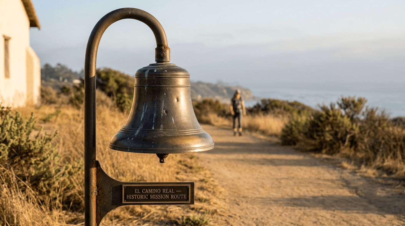
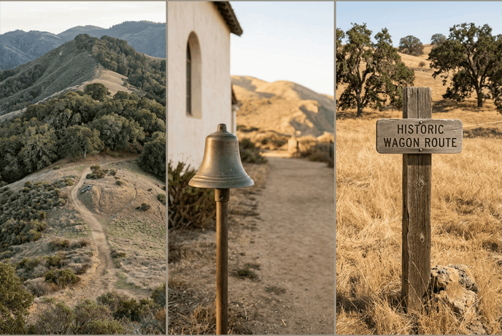
Look for the iconic bell-shaped mission markers along the route; they’ve marked the road since a 1906 preservation effort by the California Federation of Women’s Clubs and remain the clearest way to confirm you’re on a historic segment rather than a modern reroute. Coastal walking sections near Mission San Diego de Alcalá and Mission San Luis Rey offer some of the more accessible stretches for hikers specifically looking for a historically grounded route rather than a scenic one alone. You can find detailed descriptions of these trails in our what is a hiking trail guide.
The 21 California missions and their surrounding trail networks
Mission San Diego de Alcalá, founded in 1769, was the first of the chain; Mission San Francisco Solano, founded in 1823 in Sonoma, was the last. Each mission anchors its own cluster of nearby trails today — San Diego, Santa Barbara, Monterey, and Marin all serve as regional hubs with genuine hiking access near a historic mission site, even where the connecting road route itself isn’t walkable.
Native American trade routes now open as California hiking trails
The Ohlone Wilderness Trail: a hike through East Bay Native history
The 28-mile Ohlone Wilderness Trail, connecting Del Valle Regional Park (Livermore) to Mission Peak Regional Preserve (Fremont) through Sunol Regional Wilderness, follows terrain within the traditional territory of the Ohlone people.
As of January 1, 2026, East Bay Regional Park District discontinued the trail’s longstanding day-use permit requirement, making it more accessible than it’s been in years, you can now day-hike sections without the map/permit that was previously required at the trailhead sign-in panel. Overnight backpacking still requires a separate camping reservation, and the trail remains genuinely strenuous, with 7,000–8,300 ft of cumulative elevation gain over its length, cresting at 3,817 ft Rose Peak.
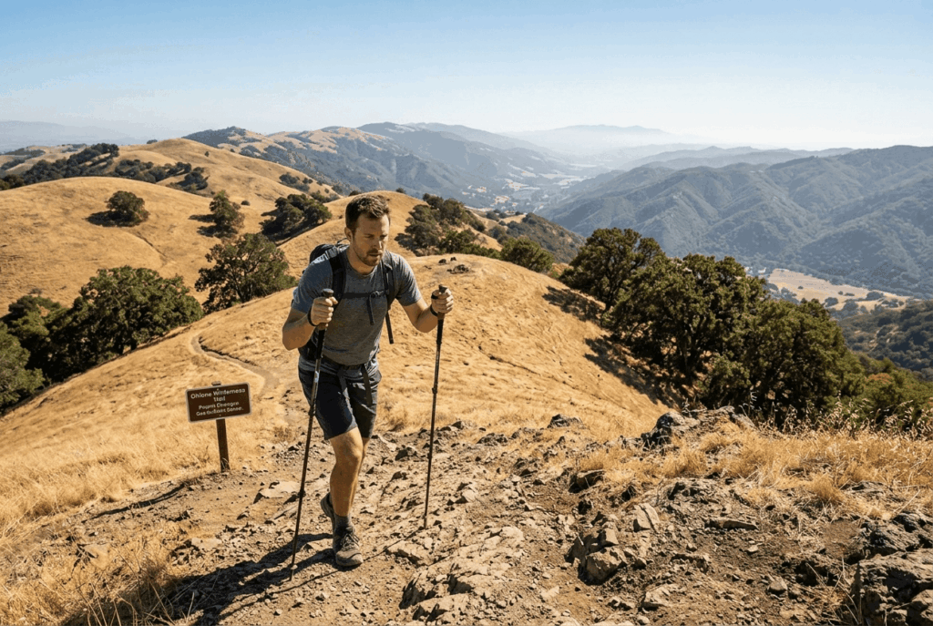
Verify the difficulty rating and potential terrain hazards (such as remote canyons) before attempting this remote wilderness traverse on foot.
Chumash trails in the Santa Barbara and Ventura County mountains
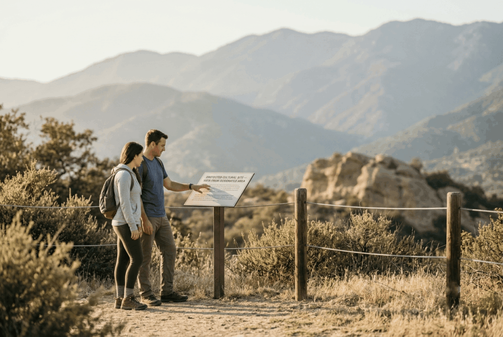
Chumash Painted Cave State Historic Park, tucked into the Santa Barbara foothills, preserves rock art created by Chumash people and sits near a network of Santa Ynez Mountains trails connecting to broader Chumash cultural sites. Further south, trails through the Santa Monica Mountains, including sections near Malibu Creek, cross land that was part of the Chumash trade and travel network for centuries before Spanish contact.
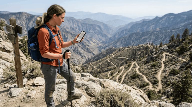
Approach these sites with real respect, rock art and cultural sites are irreplaceable, and touching or approaching pictographs closely can damage them permanently. You can buy historic paper trail maps or pack a basic handheld GPS unit to trace original routes accurately.
Gold Rush and pioneer trails now hikeable in California
The Western States Trail: from Gold Rush mule route to California’s most famous ultra
Long before the Gold Rush, the Washoe and Paiute peoples used this Sierra crossing as a seasonal travel route between the eastern and western sides of the range. During the mid-1800s Gold Rush, it became the shortest practical path between California’s Mother Lode gold fields and Nevada’s Comstock silver strikes, and later carried Wells Fargo express riders delivering mail and supplies to remote mining settlements. Auburn businessman Wendell Robie revived the trail’s profile in 1955 with the Tevis Cup, a one-day, 100-mile endurance horse ride from the Tahoe area to Auburn.
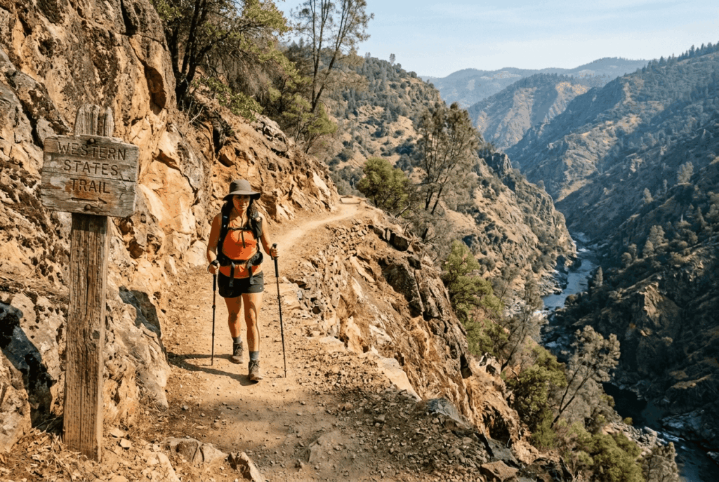
The Western States 100 grew directly out of that event, Gordy Ainsleigh first ran the course on foot alongside the horses in 1974, and the official footrace launched in 1977 with 14 runners, eventually becoming the most prestigious 100-mile trail race in the world. You don’t need to run 100 miles to experience it: roughly 20 miles of the historic route pass through Auburn State Recreation Area, open to day hikers year-round, with the lower sections west of Foresthill best hiked in spring or late fall when temperatures are milder. Be sure to check the seasonal hazards calendar before planning a hike through these exposed canyon zones.
California mission trail hiking guide: planning your route
Hiking Mission Trails San Diego and Southern California missions
Mission Trails Regional Park, covering roughly 7,220 acres just northeast of downtown San Diego, offers about 60 miles of trails adjacent to the historic Mission San Diego de Alcalá site, including the Old Mission Dam, built by Kumeyaay people under Spanish coercion between 1809 and 1815, and still standing today. It’s worth being direct about that history rather than treating the dam as simply a scenic ruin: it’s a physical record of forced labor as much as it is an engineering landmark.
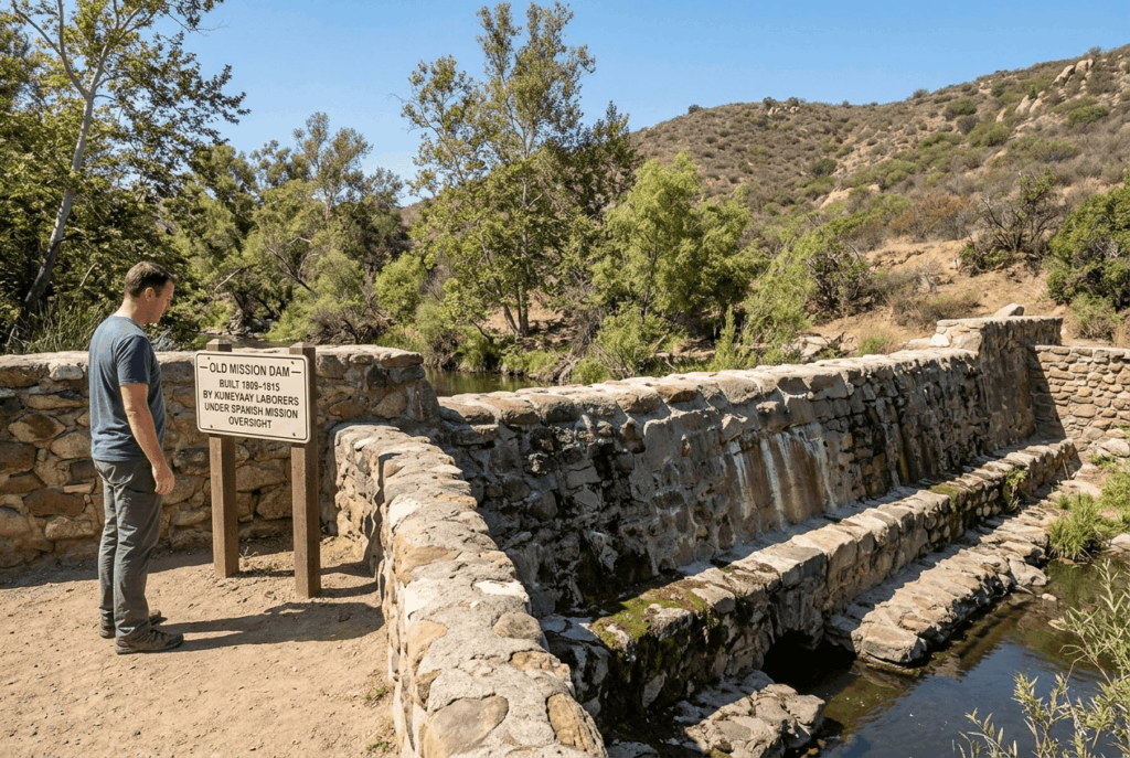
The park itself is free to visit and open daily, with routes ranging from the flat, family-friendly Visitor Center Loop to the strenuous Cowles Mountain summit trail, the highest point in the city of San Diego.
If you’re building a broader trail-planning habit, our beginner’s guide to hiking trails and trail etiquette guide both apply directly to hiking near culturally or historically sensitive sites, treating markers, rock art, and structures with the same care you’d want applied to any irreplaceable resource.
Frequently asked questions: historic and mission trails in California
What are the best hiking trails near California missions?
Mission Trails Regional Park in San Diego is the most extensively hikeable mission-adjacent site, with 60 miles of trails directly next to Mission San Diego de Alcalá; other missions across the state have varying degrees of nearby trail access worth researching individually.
Is Mission Trails Regional Park open for hiking?
Yes, it’s open daily, free to visit, and offers routes from easy family loops to the strenuous Cowles Mountain summit trail.
Can I hike El Camino Real in California?
Not as one continuous route, most of the original road is now under modern highways, but you can hike preserved and reconstructed sections, often marked by the iconic bell-shaped trail markers, particularly near individual mission sites.
What Native American trails can I hike in California?
The Ohlone Wilderness Trail (East Bay), trails near Chumash Painted Cave State Historic Park (Santa Barbara), and sections of the Western States Trail (Sierra Nevada) all follow routes with genuine Native American origins.
What is the history of Mission Trails Regional Park in San Diego?
The park surrounds the site of Mission San Diego de Alcalá (founded 1769) and includes the Old Mission Dam, built by Kumeyaay people under Spanish coercion between 1809 and 1815; the park itself was established in 1974 after decades of military and agricultural use following secularization.
How long is El Camino Real and how much is hikeable today?
The historic route ran roughly 600 miles connecting 21 missions from San Diego to Sonoma; only scattered preserved or reconstructed sections are hikeable today, since most of the original road now underlies modern highways like Highway 101.