Mission Peak Hiking Guide
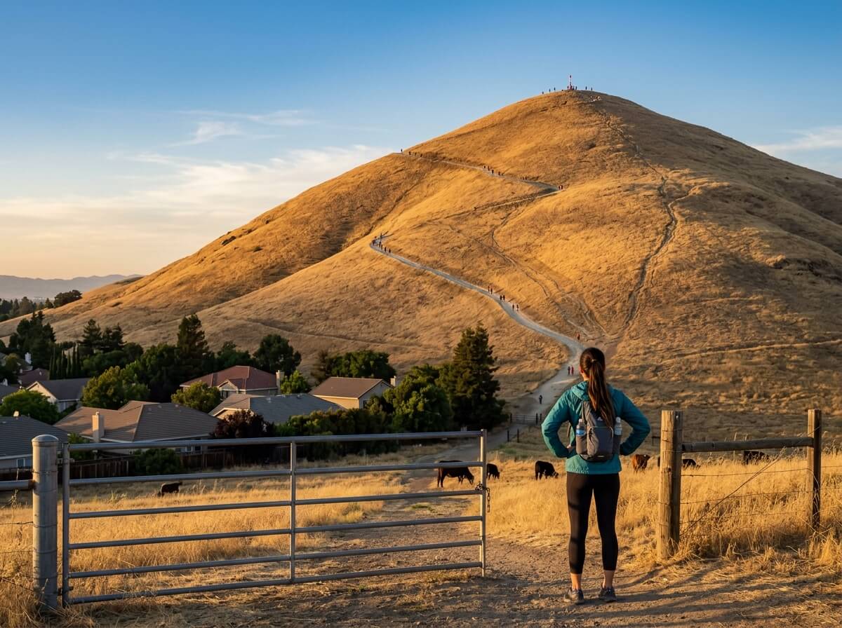
From the parking lot at the end of Stanford Avenue, Mission Peak looks like a triangle of golden grass sitting above Fremont’s rooftops. It looks close. It isn’t. Between you and the top are about 2,100 feet of climbing, a few cattle grids, and a few hundred other hikers who had the same idea.
Disclosure: Please note that some of the links below are affiliate links and at no additional cost to you, I may earn a commission. Know that I only recommend hiking gear I personally stand behind; when you use my affiliate links, it helps me run this blog and keep all of this content free of charge for readers (like you).
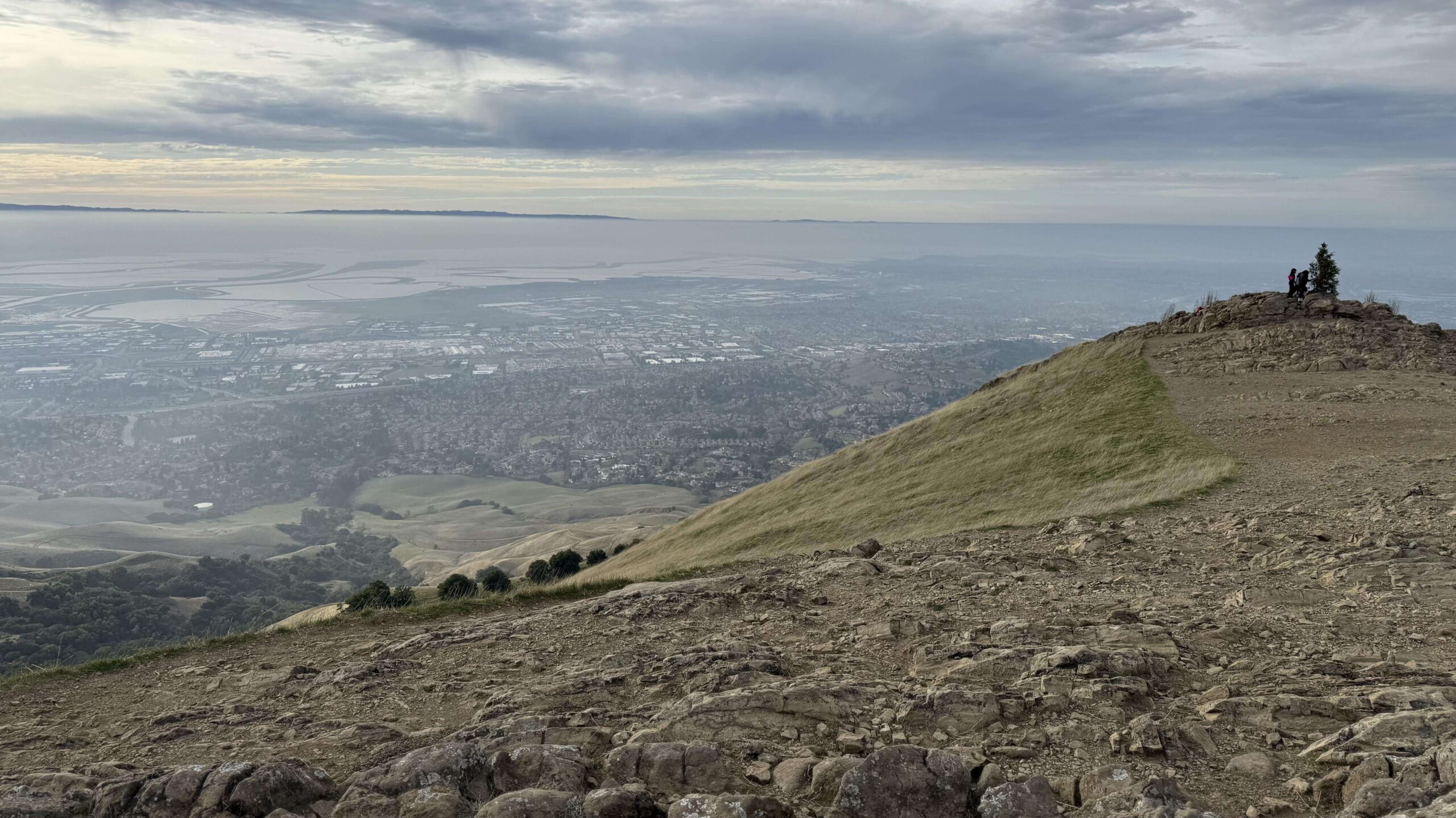
Mission Peak, California, is a 2,517-foot summit in Mission Peak Regional Preserve, a 3,023-acre East Bay Regional Park District preserve in Fremont. The Mission Peak hike is one of the most popular in the Bay Area, and the payoff explains why: a clear day at the summit shows Mount Diablo, Mount Tamalpais, Mount Hamilton and the Santa Cruz Mountains.
This guide follows your questions in order: which trailhead, where to park, how hard the trail is, what you’ll find at the top, and what to bring. It’s one of the anchor hikes in our Alameda County hiking trails guide.
Key Takeaways
- Where: Mission Peak Regional Preserve, Fremont, CA. The two main trailheads are Ohlone College (43600 Mission Blvd.) and the Stanford Avenue Staging Area.
- Distance: About 6.2 miles round trip from Stanford Avenue and roughly 6.75 to 7 miles from Ohlone College, with about 2,100 feet of elevation gain. East Bay Regional Park District (EBRPD) budgets about five hours round trip.
- Parking: Ohlone College has more than 900 spaces for a $4 daily permit. Stanford Avenue has 43 spaces and fills fast.
- Hours: Ohlone College entrance 6 a.m. to 10 p.m. daily. The Stanford Avenue area closes at 8 p.m. (Dec. 23 to Mar. 31) or 9 p.m. (Apr. 1 to Dec. 22). Hours are strictly enforced, and citations start at $300.
- Water and heat: EBRPD recommends at least 2 liters of water per person and avoiding midday summer hikes.
- Dogs: Allowed, but every year some die of heat stroke here, and leashes are required around cattle and near trailheads.
What Is Mission Peak?
Mission Peak anchors the northern end of a ridge that runs south toward Monument Peak and Mount Allison, in the foothills of the Diablo Range east of Fremont. Its outline appears on the city’s logo.
The preserve is part of the East Bay Regional Park District, a system of parks in Alameda and Contra Costa counties ranging from dry grassland summits to Oakland’s Reinhardt Redwood Regional Park and the Peak Trail through it is part of the Bay Area Ridge Trail. From the Stanford Avenue side, EBRPD describes the climb to the summit as steep.
The summit’s famous feature is the Mission Peeker, a red pole with sight tubes that visitors use to pick out distant landmarks. Park ranger and sculptor Leonard Page and a crew of six erected it on December 27, 1990. Vandals sawed it off on September 2, 2023, and park crews restored it in early October of that year.
Here’s a fun detail: the pole isn’t the true summit. The high point is about 200 feet away, marked by a survey marker on a slightly higher rock pile.
Which Mission Peak Trailhead Should You Choose?
Both trailheads lead to the same summit, but they feel different.
| Feature | Stanford Avenue | Ohlone College |
|---|---|---|
| Route | Hidden Valley Trail | Peak Trail or Panorama Trail |
| Round trip | About 6.2 mi | About 6.75–7 mi |
| Elevation gain | About 2,100 ft | About 2,100 ft |
| Character | Steeper, little shade | More gradual, some shade |
| Parking | 43 spaces, often full | 900+ spaces, $4 daily permit |
| Hours | 6:30 a.m. to 8 or 9 p.m. | 6 a.m. to 10 p.m. |
EBRPD describes the Ohlone College approach as slightly longer but more gradual, with plenty of weekend parking, and says the Stanford Avenue lot is extremely congested on weekends. Parking at Ohlone has also reduced overflow at Stanford Avenue, which is why the district keeps steering hikers there.
Getting to Mission Peak: Directions, Parking and Fees
Ohlone College: The trailhead is at 43600 Mission Blvd. in Fremont, accessed from Pine Street or Witherly Lane off Mission Boulevard. Daily permits cost $4 from the kiosk machines near the elevator on each level of the South Parking Structure, or by QR code on your phone; see Ohlone College’s parking permit page for current rates.
EBRPD says permits must be displayed from 6 a.m. to 11 p.m. every day, though college holidays and semester breaks are free. Overnight parking isn’t allowed.
Stanford Avenue: The lot sits at the east end of Stanford Avenue off Mission Boulevard and holds 43 cars. From Interstate 880, one published route takes exit 12 for Mission Boulevard east, then turns right onto Stanford Avenue after about 1.3 miles.
On Saturdays, Sundays and national holidays, Fremont’s resident permit program restricts street parking in the Mission Peak neighborhood; weekday parking is allowed. Overnight parking is prohibited without a permit tied to an Ohlone Wilderness camping reservation.
No car? Take BART to Warm Springs, then a roughly 15-minute rideshare to the Stanford Avenue trailhead. AC Transit also runs along Mission Boulevard. For current alerts and hours, check EBRPD’s Mission Peak page before you leave.
The Hidden Valley Trail from Stanford Avenue
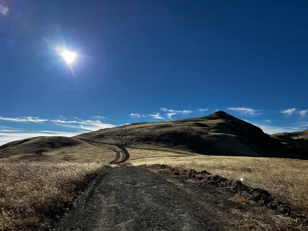
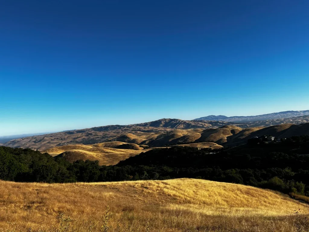
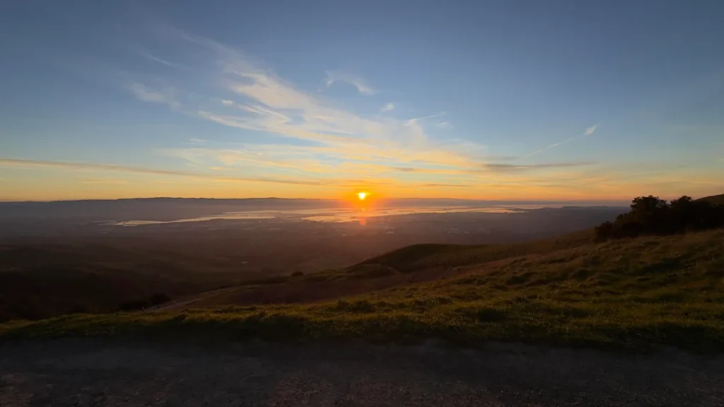
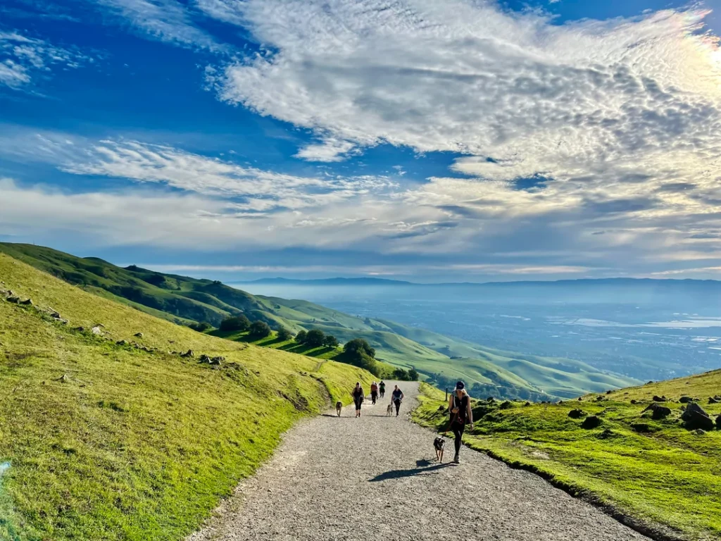
This is the classic route. The mileposts below come from a hiker’s GPS track and may shift slightly. Start northeast on the Hidden Valley Trail, a wide fire road past grassy pastures. After a flat first 0.3 miles, the climb begins past a cattle grid. At about 0.75 miles, a bench offers a shallow view west to Fremont and the Bay, the first of six along the route.
At 1.5 miles, an unsigned trail on the right is the Peak Meadow Trail, which makes a 3.7-mile loop back to the lot. Keep climbing. At 2.4 miles, you reach a signed junction with the Peak Trail.
A final steep stretch curves southeast to the summit at 3.1 miles. Views of Mount Diablo open to the north, and the rolling hills of Sunol Regional Wilderness spread to the east. Bring a map if you branch off, since trails can be overgrown or poorly signed.
Mission Peak from Ohlone College: Peak Trail and Panorama Trail
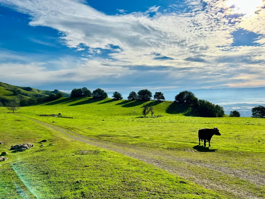
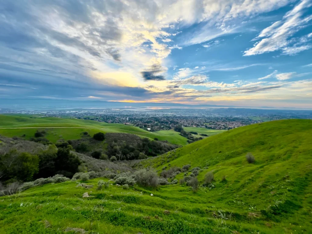
The Peak Trail from Ohlone College passes a horse corral and runs through shaded woodland and open grassland on the way to the summit. The Panorama Trail also reaches the top.
The ascent is gentler than the Hidden Valley Trail, and every route to the summit eventually follows a stretch of the Peak Trail. If you want to know how elevation gain and distance combine into a difficulty rating, see our guide to how trail difficulty is calculated.
At the Mission Peak Summit
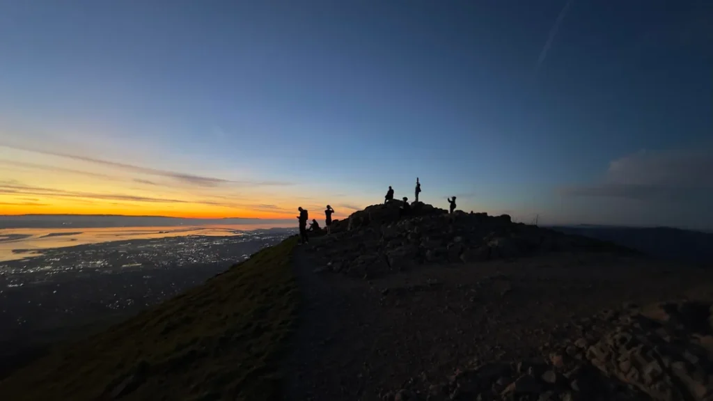
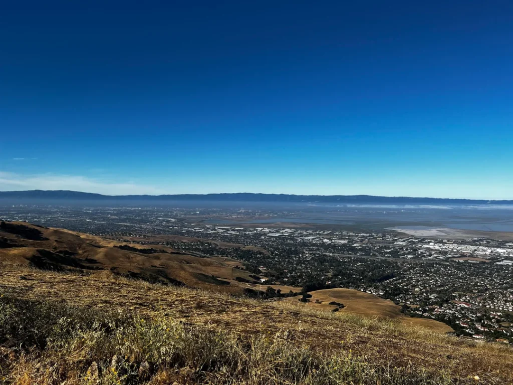
Plan a long pause here. On a clear day, EBRPD says the view takes in Mount Hamilton to the south, the Santa Cruz Mountains to the west, Mount Tamalpais to the north, and Mount Diablo and the Sierra Nevada to the northeast.
Hawks and vultures share the summit airspace with sailplanes riding the thermals, and a herd of feral goats roams the cliffs. A hang gliding and paragliding club, Wings of Rogallo, has a launch site in the preserve.
Stay on the marked trail. The slope near the summit, known as “the Scarface,” eroded badly from shortcuts, and EBRPD has installed fencing and signs to help it recover. If you collect summit peaks, our guide to peak bagging in California is a good place to start building a list, and our list of the best hiking trails for mountain views offers more panoramas.
Want More? Continue to Monument Peak
The ridge keeps going. A regional trail runs about two miles south from Mission Peak to Monument Peak, whose summit sits just inside the preserve’s southern boundary at 2,594 feet, and continues into Ed R. Levin County Park in Santa Clara County. Treat it as an extension only if you have time, water and daylight to spare.
Safety and What to Bring
EBRPD’s advice is blunt: several dogs die of heat stroke and dehydration at Mission Peak every year, and many hikers get hurt. Carry at least 2 liters of water for each person and dog, wear a hat and sunscreen, and avoid midday hiking in summer.
EBRPD recommends hiking boots or athletic shoes with ankle support, and warns against flip-flops, sandals and high heels. Most of the route has little shade. Our guides to water and electrolytes for California hikers and weather hazards on California trails explain how to plan.
Cattle graze the preserve. EBRPD notes that grazing helps keep the land healthy; give cows space, keep clear of calves, and leash your dog when cattle are near.
Dogs, Bikes and Overnight Options
Dogs are allowed at Mission Peak, but EBRPD requires leashes in parking lots, on paved trails, within 200 feet of trailheads and park entrances, around horses, and in parks where cattle graze. Since cattle graze here, plan to keep your dog leashed on the trail. For more on trail rules and dog-friendly routes, read our hiking with dogs in California guide.
Hiking, biking and horseback riding are all popular in the preserve. For overnight trips, Eagle Spring Backpack Camp requires a reservation made at least two business days ahead. The Stanford Avenue staging area is also the western gateway to the 29-mile Ohlone Wilderness Trail.
When Is the Best Time to Hike Mission Peak?
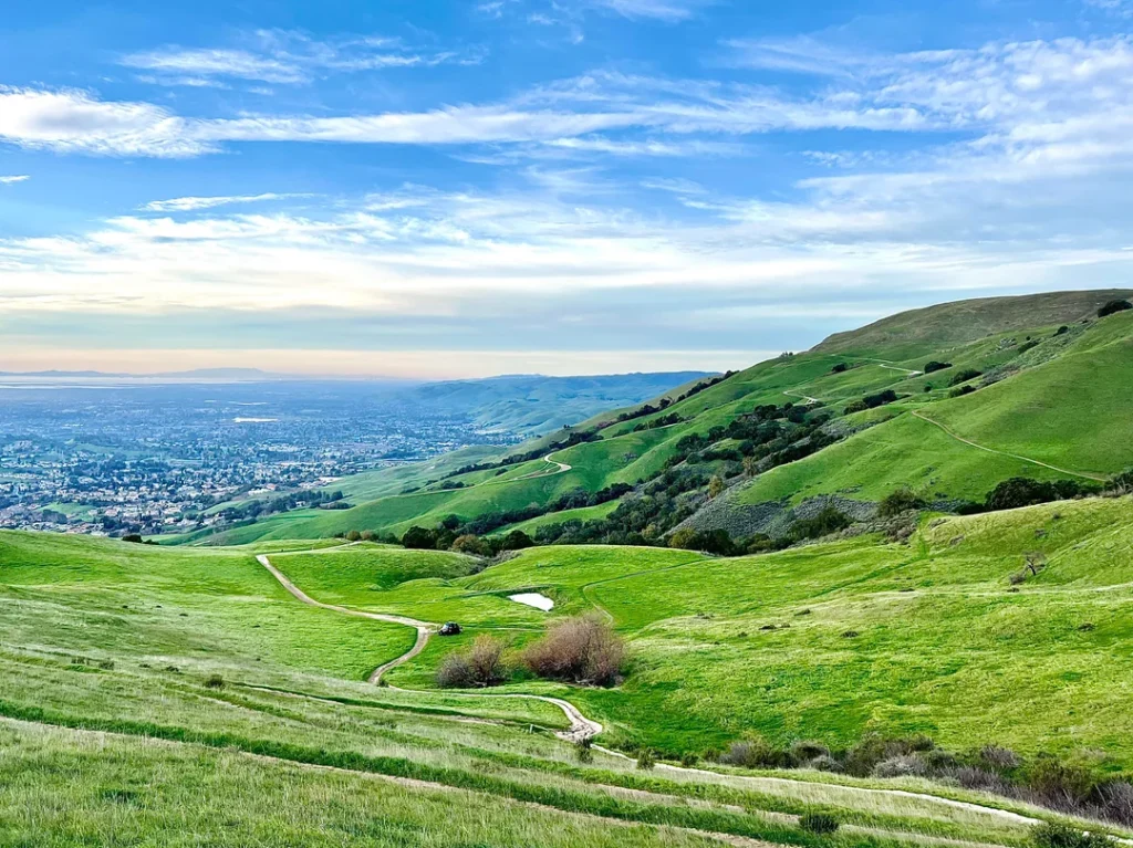
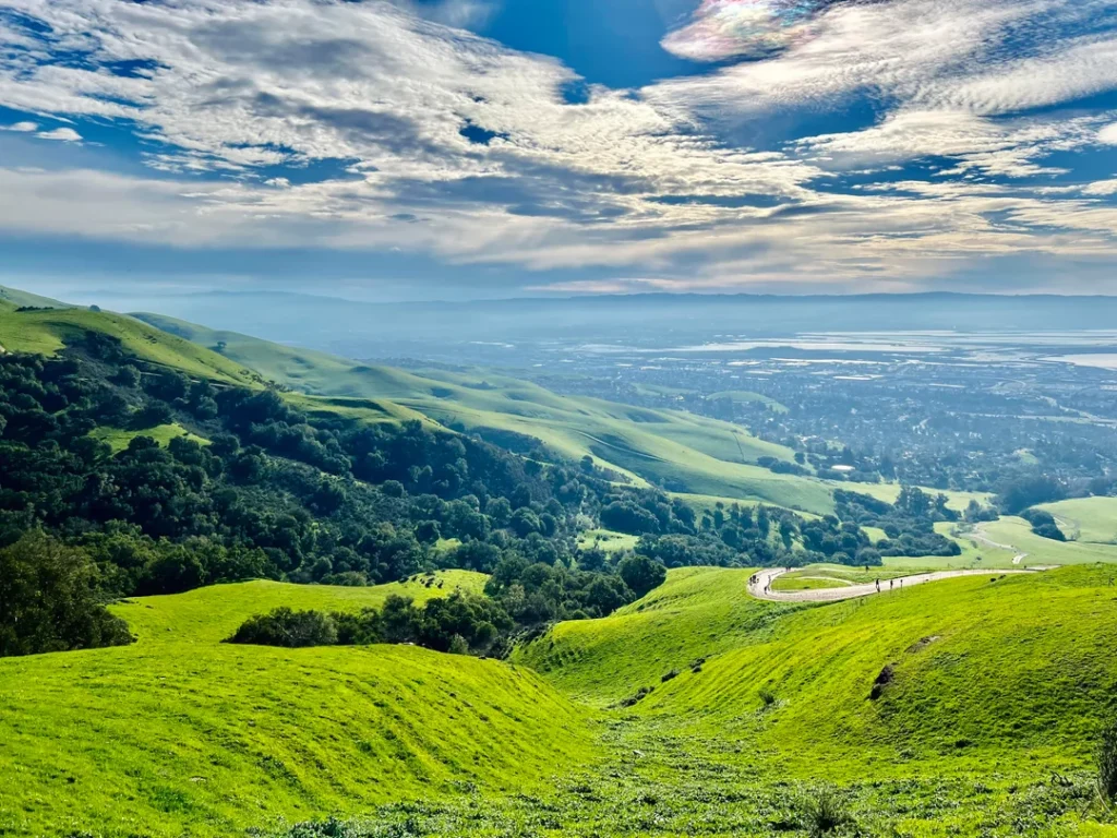
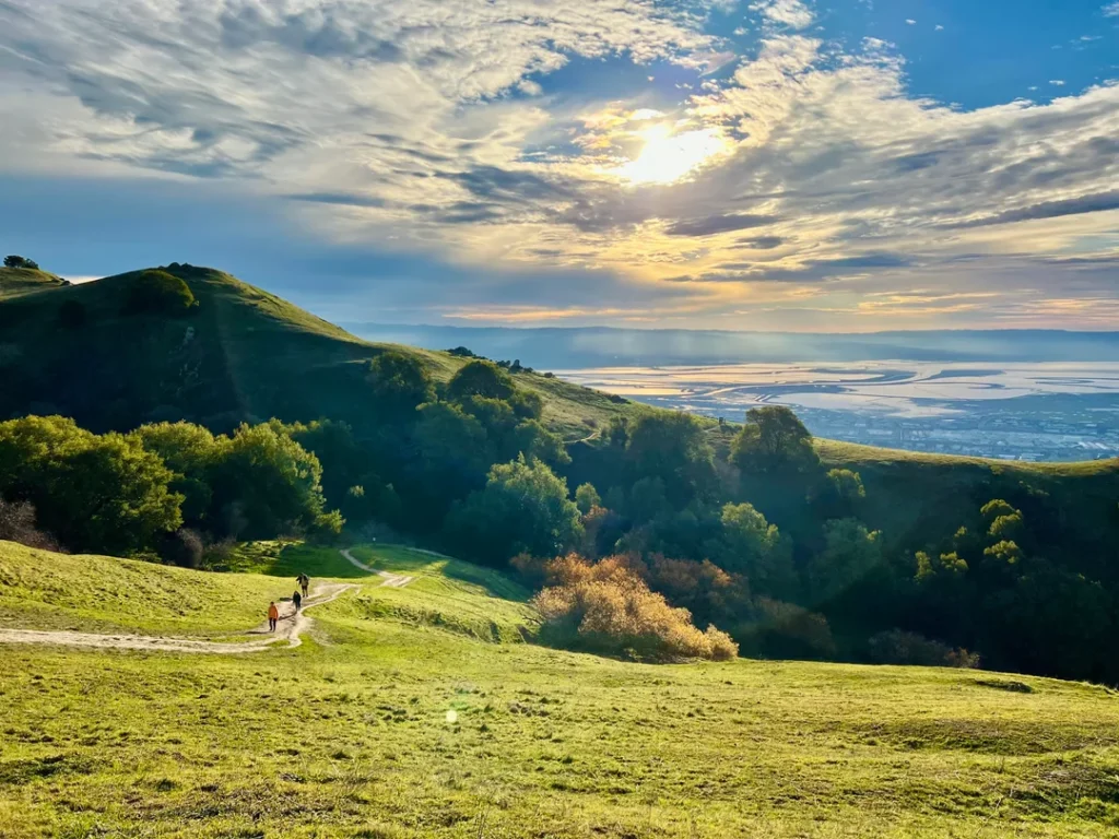
Late winter and early spring turn the hills emerald from winter rains, and you may hike through a cloud inversion. Summer is hot and shadeless, so start early. Weekends are crowded, with hundreds of hikers on the trail, so go on a weekday if you can.
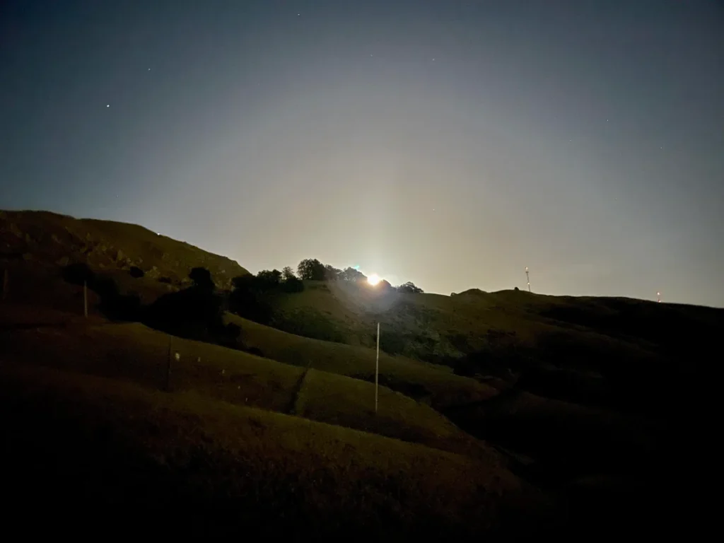
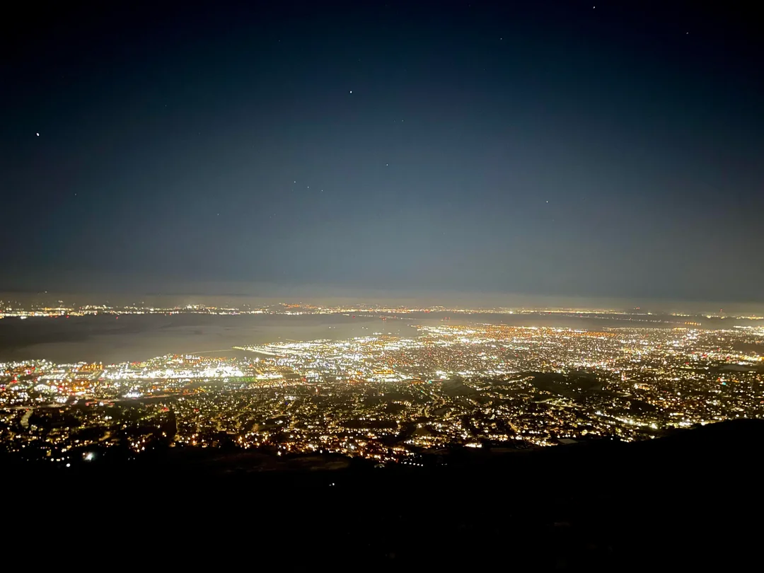
Winter days are short, and the Stanford Avenue area closes at 8 p.m. from December 23 to March 31, so plan to be down well before dark. EBRPD says anyone found in the park, entrance area or parking lot after posted hours can be cited or arrested, so build your descent time into the plan.
Where to Go Next After Mission Peak
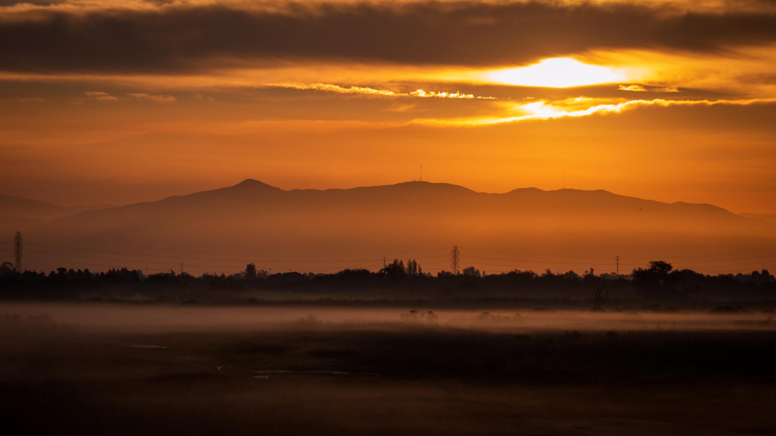
From the summit, the double peak to the north is Mount Diablo; our guide to the best hiking trails on Mount Diablo covers it. For more East Bay ridgelines, see our guide of the best hiking trails in the East Bay Hills, or head south to the best hiking trails in San Jose and the South Bay, featuring valley green spaces like Penitencia Creek Park. For the whole county, return to the Alameda County trail guide.
Final Recommendation
Here’s the honest version: for your first time, park at Ohlone College, start early, and carry more water than you think you need. Take the Peak Trail up, touch the Mission Peeker, then walk the 200 feet to the true summit marker for good measure. Save Stanford Avenue’s steeper Hidden Valley Trail for a weekday. The view repays the climb, and the cows will never be in a hurry.
Frequently Asked Questions About Mission Peak
How long does the Mission Peak hike take?
EBRPD says about five hours are required to reach the summit and return. The route is 6.2 miles round trip from Stanford Avenue and about 6.75 to 7 miles from Ohlone College, both with roughly 2,100 feet of climbing.
Which Mission Peak trailhead is easier?
Ohlone College. EBRPD describes it as a slightly longer hike with a more gradual ascent and plenty of weekend parking. Stanford Avenue is steeper, and its lot is extremely congested on weekends.
How much does it cost to park at Mission Peak?
Ohlone College. EBRPD describes it as a slightly longer hike with a more gradual ascent and plenty of weekend parking. Stanford Avenue is steeper, and its lot is extremely congested on weekends.
Are dogs allowed on the Mission Peak trail?
Yes, with leashes required near trailheads and around cattle. EBRPD warns that dogs are much more susceptible to heat stroke than people, so hike with your dog only in cooler temperatures and carry plenty of water.
Is the Mission Peeker pole the true summit?
No. The highest point is about 200 feet away, marked by a survey marker on a slightly higher pile of rocks. The pole was erected in 1990 as a landmark with sight tubes.
What time does Mission Peak close?
The Ohlone College entrance is open 6 a.m. to 10 p.m. daily. The Stanford Avenue area closes at 8 p.m. from Dec. 23 to Mar. 31 and 9 p.m. from Apr. 1 to Dec. 22. Hours are strictly enforced, with citations starting at $300.