Pinnacles National Park Day Trip & Itinerary Guide
A Pinnacles National Park itinerary starts with a decision most park guides never make you face: which side. There is no road between the east and west entrances, so the day you plan on one side stays on that side, and the drive between them is a long loop through King City.
Disclosure: Please note that some of the links below are affiliate links and at no additional cost to you, I may earn a commission. Know that I only recommend hiking gear I personally stand behind; when you use my affiliate links, it helps me run this blog and keep all of this content free of charge for readers (like you).
Pick one, arrive early, and the park rewards you with talus caves, rock spires, and a good chance of seeing a California condor. This Pinnacles National Park day trip guide covers both sides, the cave seasons, fees, and the heat, so you can build a day that fits your legs and the calendar.
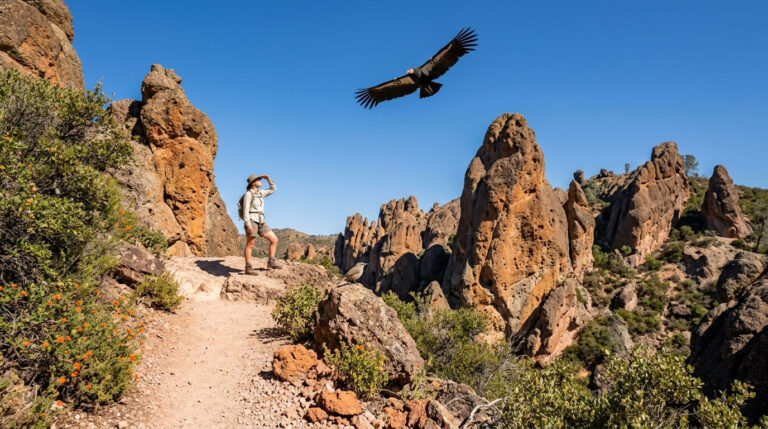
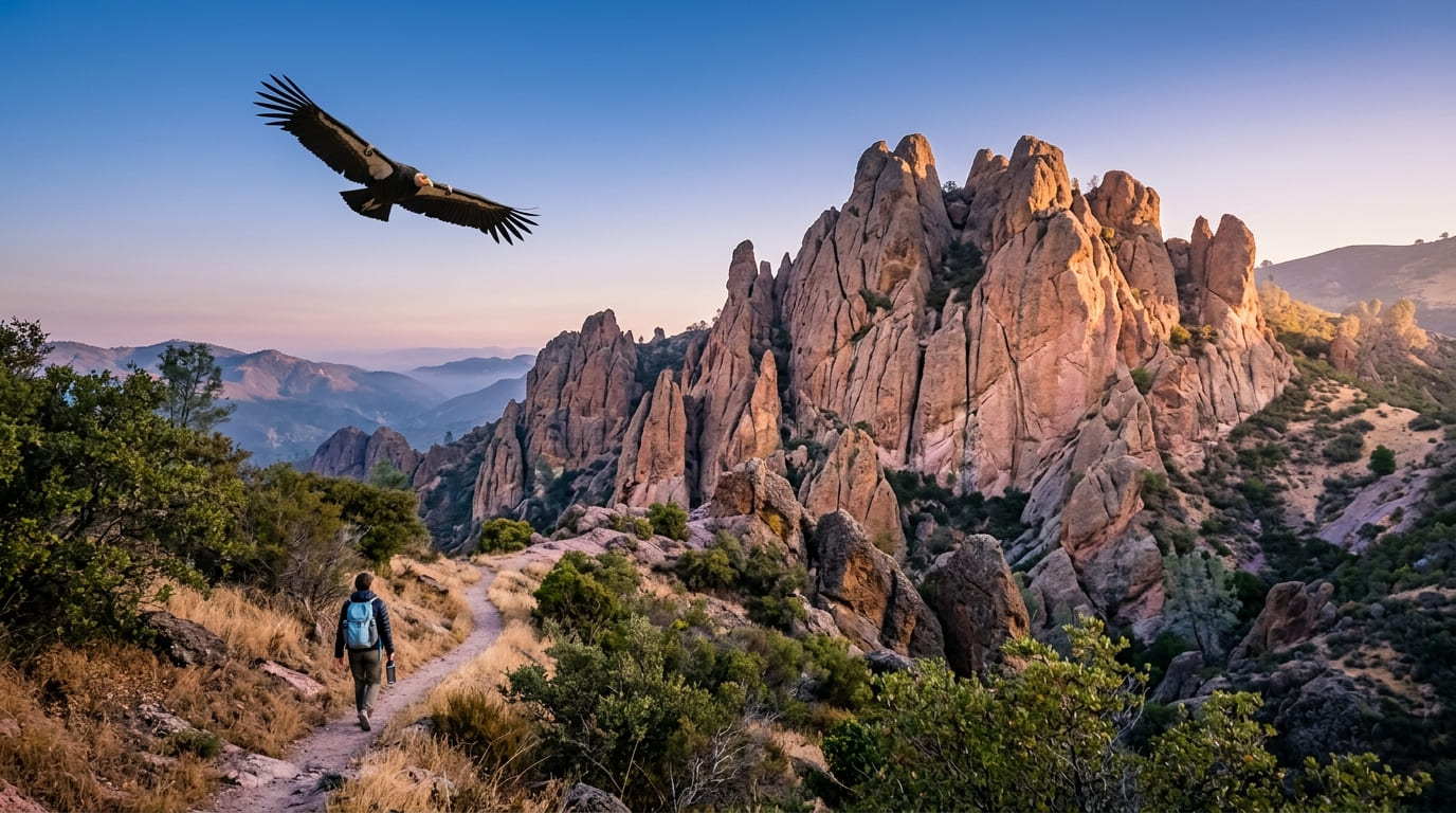
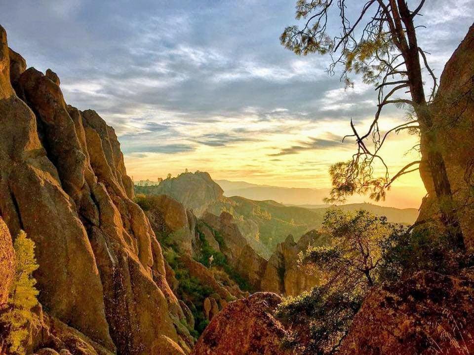
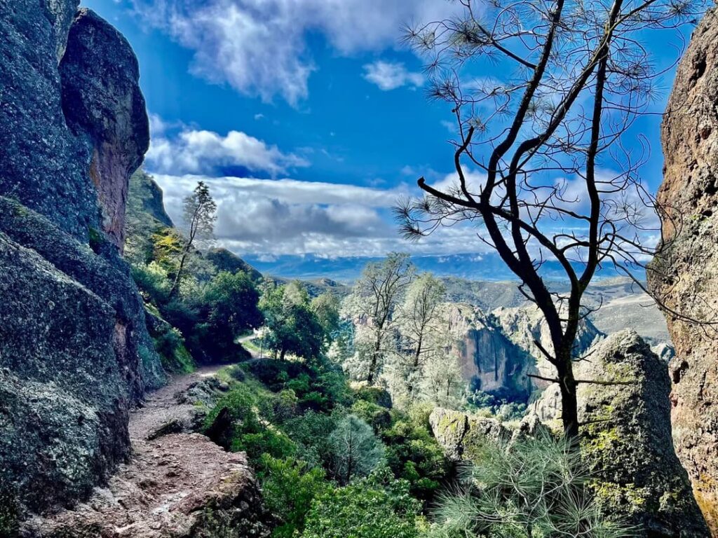
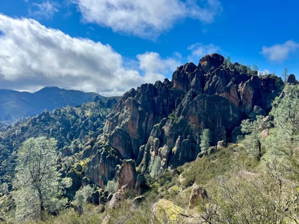
The rock tells the story first. Spires of volcanic stone catch the early light above oak woodland, and a shadow with a nine-and-a-half-foot wingspan can slide across the trail. Then the trail drops into a crack in the hillside, the temperature falls, and you need a flashlight.
Key Takeaways
- Choose one side. No road connects the east and west entrances inside the park, and the shortest drive between them runs through King City on Highway 101.
- Arrive before 8:00 a.m. NPS says weekends, holidays, and spring days bring long lines between 10:00 a.m. and 3:00 p.m., and suggests arriving before 8:00 a.m. for the High Peaks, Condor Gulch, Balconies, or Moses Spring trails.
- Entrance pass: $30 per private vehicle, valid for 1 to 7 days. The park does not accept cash.
- Caves: Bear Gulch Cave closes seasonally to protect bats, and both caves can close for flooding. Check NPS cave status before you plan around them.
- Heat: July and August days often pass 100°F. Carry at least 1 liter of water per person per hour of hiking.
- No dogs on trails. Pets are allowed only in picnic areas, the campground, parking lots, and on paved roads.
Pinnacles National Park at a Glance
| Detail | What to know |
|---|---|
| Size and trails | More than 26,000 acres with over 30 miles of trails |
| Status | National monument since 1908; national park since January 10, 2013 |
| East entrance | Via Highway 25 and Highway 146 near Hollister; trails are open 24 hours |
| West entrance | Via Highway 146 from Soledad; gate open 7:30 a.m. to 8:00 p.m., day use only |
| Camping | Pinnacles Campground on the east side only; backpacking is not allowed |
| Visitor services | East Pinnacles Park Store (9 a.m. to 4 p.m., closed noon to 1 p.m.); West Pinnacles Visitor Contact Station (9 a.m. to 3 p.m.); Bear Gulch Nature Center opens intermittently |
| Park phone | 831-389-4486 |

Start every plan with the park’s official current conditions page. It carries fire danger, cave and raptor advisories, and any closures. The park spans San Benito and Monterey counties, which is why it appears in both our San Benito County hiking guide and our Monterey County hiking guide. It is also one of the smaller units in our guide to California’s national parks.
East Side or West Side? Choosing Your Pinnacles National Park Day Trip
Choosing a side is the most important planning step.
East side: the usual first-visit choice. It has the visitor center, the park store, the campground, and the Bear Gulch Day Use Area, 3.5 miles beyond the campground on Highway 146. It is the better base for the High Peaks from Condor Gulch, the Moses Spring to Rim Trail Loop, and Bear Gulch Cave.
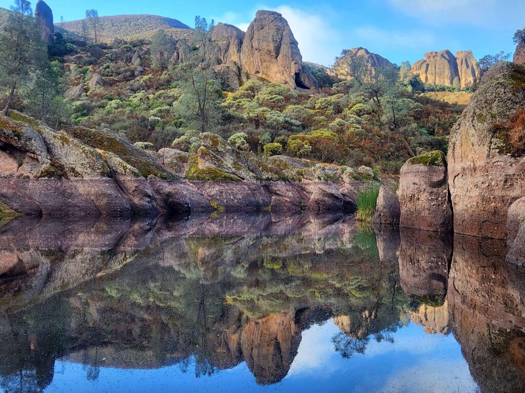
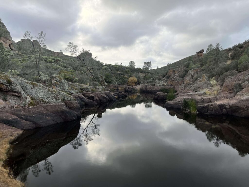
West side: quieter, with day use only and a shorter list of services. The Chaparral trailhead leads to the Balconies Cliffs-Cave Loop, Juniper Canyon, and the High Peaks, and the Prewett Point Trail and Jawbone Trail start near the Visitor Contact Station.
If you can only do one, I would choose the east side. If you can do both, give each its own day, because the drive between them is roughly an hour and a half through King City.
Getting There, Fees, and Parking
From the Bay Area (east entrance): take Highway 101 south through Gilroy to Highway 25 south, pass through Hollister, and continue about 30 miles to Highway 146. Turn right on Highway 146, then left into Pinnacles Campground to check in at the Pinnacles Visitor Center.
From Soledad (west entrance): take Highway 146 east for 14 miles. Highway 146 becomes a one-lane road, so drive carefully.
Navigation tip: searching “Pinnacles National Park” in a map app can send you to the wrong side. NPS recommends entering coordinates instead: 36.493545, -121.146646 for the east entrance and 36.477700, -121.226136 for the west entrance.
Fees: An entrance pass is required year-round. The private vehicle pass is $30 and covers up to 15 passengers for 1 to 7 days. Motorcycles cost $25, and visitors 16 or older arriving on foot or by bicycle pay $15. The Pinnacles annual pass is $55, and an America the Beautiful pass covers entry. The entrance stations accept credit and debit cards only, and cell service is limited, so NPS recommends printing or saving a digital pass before you arrive.
Parking: NPS says there is no roadside parking. Parking for the High Peaks, Condor Gulch, Balconies, and Moses Spring trails can fill before 8:00 a.m. on busy days, so plan to arrive early. A seasonal weekend shuttle has run on the east side in late winter and spring, but NPS lists it as concluded for the season, so do not count on it.
A One-Day Pinnacles National Park Itinerary: East Side
This plan uses Bear Gulch as its anchor and gives you two versions.
Before 8:00 a.m.: pay at the east entrance station, check in at the visitor center, and drive the 3.5 miles to Bear Gulch Day Use Area. Early arrival also puts you on the trail before the heat.
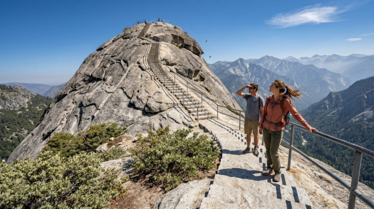
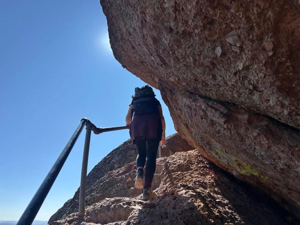
Strong-hiker version (morning): the Condor Gulch to High Peaks Loop is 5.3 miles round trip with 1,300 feet of climbing and takes 3 to 5 hours. NPS rates it strenuous. The Steep and Narrow section carries you across rock-cut stairs along the spires. NPS names the High Peaks in the early morning or early evening as one of the most likely places to see condors.
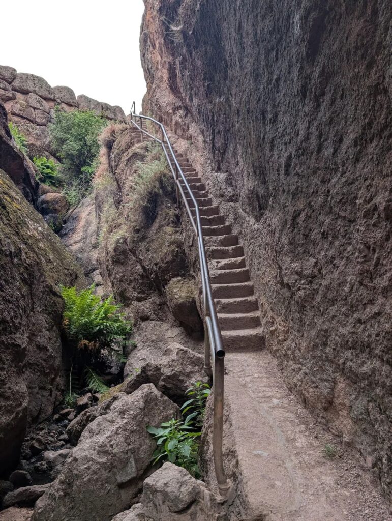
Moderate version (morning): the Moses Spring to Rim Trail Loop is 2.2 miles round trip with 500 feet of gain and takes 1 to 1.5 hours. It passes rock formations, Bear Gulch Cave (when open), and Bear Gulch Reservoir, and NPS calls it a good choice for families. For a longer view, add the Condor Gulch Trail, which climbs 1,100 feet in 1.7 miles one way to an overlook.
Midday: eat at the Bear Gulch picnic area. Heat builds in the afternoon, so this is the hour to rest in shade, visit the Bear Gulch Nature Center if it is open, or drive back to the campground.
Late afternoon: the ridge southeast of the campground is another place where condors soar on morning thermals and return to roost in the evening, and NPS has placed two spotting scopes on the Bench Trail near the visitor center. Condors fly freely, so there is no guarantee, but this is the easiest place to try.
A One-Day Pinnacles National Park Itinerary: West Side
The west side suits cave lovers and anyone who wants fewer people.
Morning: The West Pinnacles gate opens at 7:30 a.m., and the Visitor Contact Station opens at 9:00 a.m. Start from the Chaparral trailhead with the Balconies Cliffs-Cave Loop, 2.4 miles round trip with 100 feet of gain, taking 1 to 1.5 hours. You scramble through Balconies Cave on this loop, so bring a flashlight or headlamp.
Extend it: two options to climb into the High Peaks from here. Juniper Canyon Loop is 4.3 miles round trip with 1,215 feet of gain, and NPS rates it strenuous. The High Peaks to Balconies Cave Loop is 8.4 miles round trip with 1,540 feet of gain, and takes 4 to 5 hours. After the climb, the rest is downhill or flat as you return along the Old Pinnacles and Balconies trails, through or over the cave.
Easy add-ons: Prewett Point Trail is 0.9 miles round trip with views of the Hain Wilderness, and takes 30 to 60 minutes. Jawbone Trail drops 560 feet over 1.2 miles one way toward the Jawbone parking area.
Evening: the west gate closes at 8:00 p.m., and there is no camping on this side.
Things to Do at Pinnacles National Park
If you want the highlights regardless of side, these are the things to do in Pinnacles National Park that define it.
Walk through a talus cave. Bear Gulch and Balconies are talus caves, made of boulders that fell into narrow canyons and wedged together. NPS says you need a flashlight, and the passages have low ceilings, narrow squeezes, uneven footing, and sometimes flowing water. Balconies Cave is open year-round but can flood in the rainy season. Bear Gulch has a seasonal schedule:
- Mid-July to mid-May: the lower cave is typically open.
- Mid-May to mid-July: the entire cave closes for the bat pupping season.
- March and October: the entire cave is open for at least one week and up to four, depending on the bats.
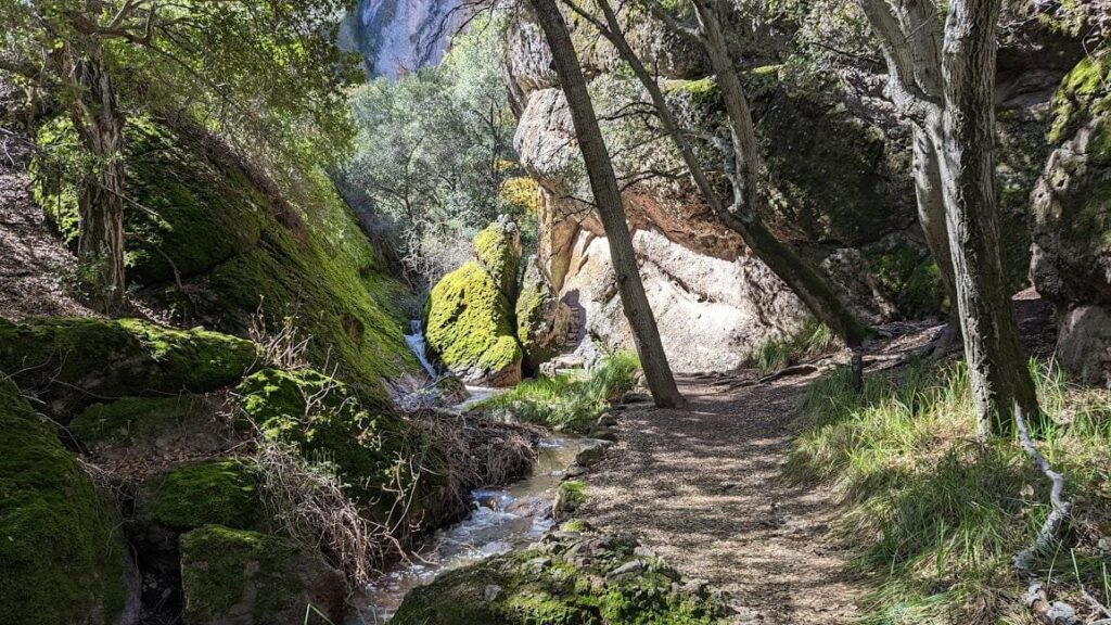
The bats are Townsend’s big-eared bats, and NPS describes the Bear Gulch maternity colony as the largest between San Francisco and Mexico. Dates can shift with bat activity, so confirm on the NPS cave status page before you go.
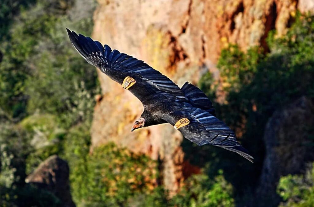
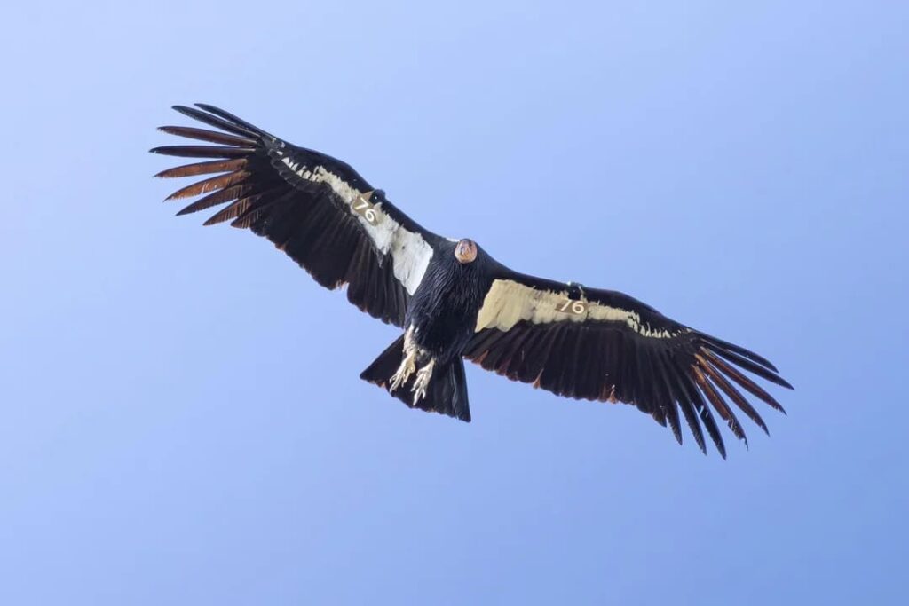
Look for a California condor. Pinnacles has served as a release and management site for the California Condor Recovery Program since 2003, and the park co-manages the wild condors of central California with the Ventana Wildlife Society. Adults have a wingspan of about 9.5 feet, compared with about 5.5 feet for a turkey vulture. Look for flat wings and steady soaring rather than a wobbly V shape, and a white triangle under the leading edge of an adult’s wing.
Climb into the High Peaks. This is the park’s best-known hike, with rock-cut stairs, narrow ledges, and close views of the spires. It can be reached from either side, but it is strenuous.
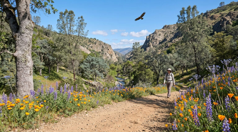
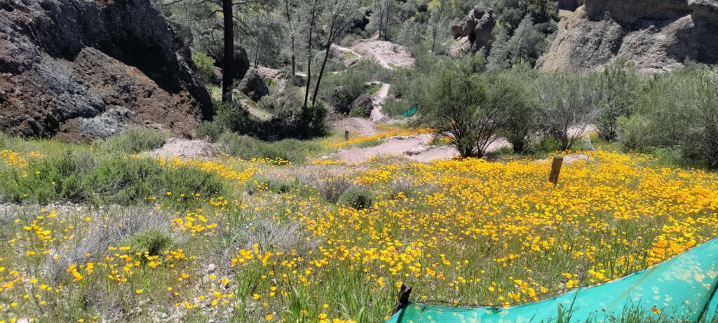
See the wildflowers. NPS says peak bloom runs March through May, when more than 80 percent of the park’s plants are flowering. Depending on rain and temperature, flowers can start in January and continue into June, or July in a wet year. For other bloom hikes across the state, see our guide to spring wildflower hikes in California.
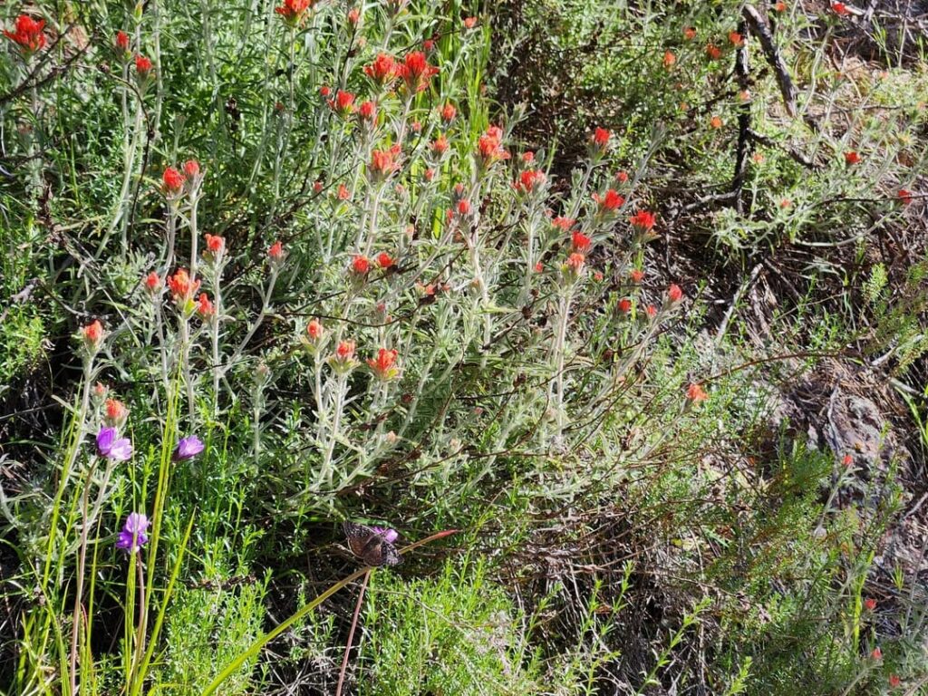
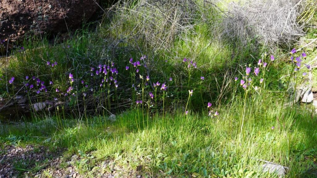
Learn the geology. The Pinnacles formations are the remains of a volcano that erupted about 23 million years ago near present-day Lancaster. The San Andreas Fault split that volcano, and the Pacific Plate carried the Pinnacles roughly 195 miles north to where they stand now.
Trail Cheat Sheet
All distances and times below are from the National Park Service. For a longer trail-by-trail breakdown, see our guide to the best hiking trails in Pinnacles National Park.
| Hike | Starts from | Round trip | Elevation gain | Difficulty |
|---|---|---|---|---|
| Moses Spring to Rim Trail Loop | Bear Gulch (east) | 2.2 miles | 500 ft | Moderate |
| Condor Gulch to High Peaks Loop | Bear Gulch (east) | 5.3 miles | 1,300 ft | Strenuous |
| High Peaks to Bear Gulch Loop | Bear Gulch (east) | 6.7 miles | 1,425 ft | Strenuous |
| Old Pinnacles Trail to Balconies Cave | Old Pinnacles trailhead (east) | 5.3 miles | None listed | Moderate |
| Balconies Cliffs-Cave Loop | Chaparral (west) | 2.4 miles | 100 ft | Easy to moderate |
| Juniper Canyon Loop | Chaparral (west) | 4.3 miles | 1,215 ft | Strenuous |
| High Peaks to Balconies Cave Loop | Chaparral (west) | 8.4 miles | 1,540 ft | Strenuous |
| Prewett Point Trail | West Visitor Contact Station | 0.9 miles | 70 ft | Easy |
A Two-Day Pinnacles National Park Itinerary
If a day is not enough, the park splits cleanly into two days.
Day 1, east side: arrive early, hike the Condor Gulch to High Peaks Loop or the Moses Spring to Rim Trail Loop, and watch for condors at dusk from the campground. Pinnacles Campground has tent, RV, and group sites, and tent and RV sites can be reserved up to six months ahead on Recreation.gov.
Day 2, west side: drive around through King City, enter by Soledad, and do the Balconies Cliffs-Cave Loop in the morning, saving Juniper Canyon or the High Peaks for those with energy.
If you plan a longer trip across several parks, our guide to a one-day California hike shows how to pace the hours.
When to Visit
NPS describes the climate as Mediterranean, with hot, dry summers and mild, wetter winters, and says spring and fall are typically the most pleasant seasons for hiking. Because Pinnacles sits inland, the swings are wide:
- Summer: July and August days often exceed 100°F, and nights may fall to about 50°F.
- Winter: daytime temperatures are mild, nights can drop into the low 20s°F, and small amounts of snow fall on higher ground in most years between mid-December and January.
- Rain: the park averages about 16 inches a year, mostly from January through March. Heavy rain can flood Balconies Cave and make trails impassable.
For a side-by-side comparison, see our guide to the best time to hike each California national park.
What to Bring
- Water: NPS says to carry and drink at least one liter per person for every hour of hiking, and there is no water on the trails. Our water and electrolytes guide explains how much to carry in hot climates.
- A flashlight or headlamp for each person who plans to enter a cave.
- Sun protection: a hat, sunscreen, and lightweight long sleeves and pants. Many trails have little shade.
- Traction: sturdy hiking shoes for rock and talus.
- Layers: cool mornings can turn into hot afternoons, and nights drop sharply in any season.
- A printed or saved pass, plus a card for payment, since the park does not accept cash.
Rattlesnakes live in the park, so stay on marked trails. NPS also notes stinging nettle near the entrance to Balconies Cave and along the trail below Bear Gulch Cave, and no smoking is allowed on trails. If you were hoping to bring a dog, our guide to hiking with dogs in California lists trails that welcome them, and service animals are allowed on park trails and in caves.
Where to Stay and Eat
There is no lodging inside the park. Pinnacles Campground on the east side has tent, RV, and group sites, with water, coin-operated showers, a dump station, and a pool that typically opens mid-April through September. The campground store is open daily from 9:30 a.m. to 5:00 p.m. For more camping choices elsewhere, see our guide to campgrounds near California’s top hiking trails.
Soledad, on the west side, and Hollister, on the east side, are the closest places to buy groceries and meals. If you are building a longer Central Coast trip, our guides to Big Sur hiking trails and getting to Channel Islands National Park fit naturally after Pinnacles.
Frequently Asked Questions
What is the best Pinnacles National Park itinerary for one day?
Pick the east side, arrive before 8:00 a.m., hike the Moses Spring to Rim Trail Loop or the Condor Gulch to High Peaks Loop, rest during the midday heat, and watch for condors in the evening.
Is one day enough for a Pinnacles National Park day trip?
Yes, if you stay on one side. A second day lets you see the other side, but it means a long drive between entrances.
What to do at Pinnacles National Park if the caves are closed?
Hike the High Peaks, look for condors, walk to Bear Gulch Reservoir, or visit in spring for wildflowers. The Balconies Cave and the Bear Gulch Cave can close for bats, flooding, or other emergencies, so check the cave status page first.
Can you drive through Pinnacles National Park?
No. There is no road connecting the east and west entrances. The shortest route between them runs through King City on Highway 101.
Are dogs allowed at Pinnacles National Park?
Not on trails. Pets must be on a six-foot leash and are allowed only in picnic areas, the campground, parking lots, and on paved roads.
When is the best time to visit Pinnacles National Park?
Spring and fall, according to NPS. Wildflowers peak from March through May, while summer brings highs over 100°F.