Best Hiking Trails in Big Sur, California
Big Sur is 71 miles of Highway 1 coastline between Carmel and San Simeon, where Los Padres National Forest and five state parks pack redwood canyons directly against Pacific cliffs, there’s no comparable stretch of coastal hiking anywhere else in North America. It’s also one of the most closure-prone hiking destinations in the state, so the Hiking Trails in Big Sur list only tells half the story here; the other half is knowing what’s actually open right now, since a trail that was open on your last visit isn’t guaranteed to be open on your next one.
Disclosure: Please note that some of the links below are affiliate links and at no additional cost to you, I may earn a commission. Know that I only recommend hiking gear I personally stand behind; when you use my affiliate links, it helps me run this blog and keep all of this content free of charge for readers (like you).
Key takeaways
- Highway 1 through Big Sur is fully open as of this writing, following the January 2026 reopening of Regent’s Slide after nearly three years, the longest sustained closure in the corridor’s history. Always verify current status before you go, since this coast has seen four major slide closures in less than a decade.
- McWay Falls’ overlook trail is currently closed for a long-term retaining wall project; the only current view is from a small roadside pullout on Highway 1, not the trail itself.
- Pfeiffer Falls Trail reopened in September 2025 after years of fire-related closure, so it’s back on the “best moderate hike” list for real.
- Day-use entry doesn’t require a reservation at any Big Sur state park, it’s a simple $10-per-vehicle fee at the gate. Camping is the part that needs ReserveCalifornia booking, often six months out.
- Sykes Hot Springs via the Pine Ridge Trail runs closer to 20 miles round trip with about 5,400 ft of cumulative gain, noticeably more climbing than casual mentions of this hike suggest.
Why Big Sur is California’s most iconic coastal hiking destination
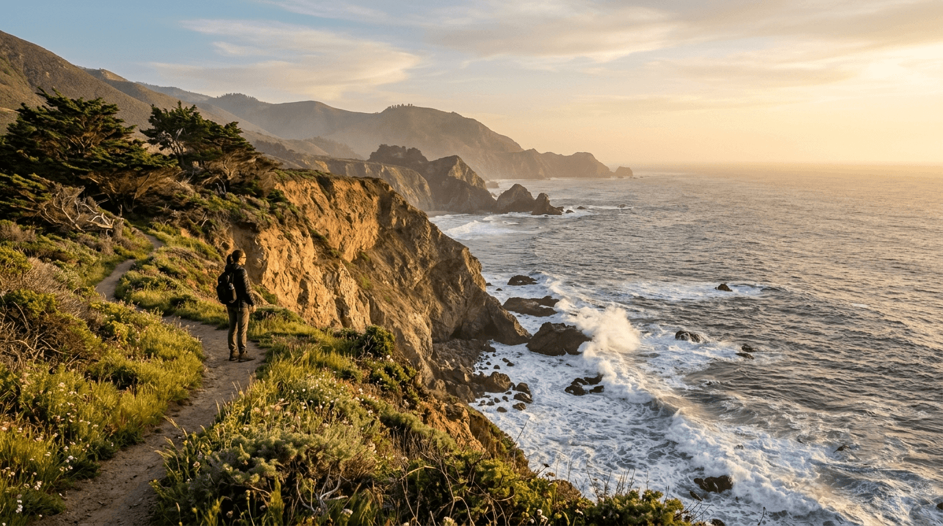
The combination is what makes Big Sur unique: old-growth redwood canyons that would be a destination on their own, dropping straight into cliffs above the open Pacific. You get both ecosystems on a single afternoon hike in a way that just doesn’t happen anywhere else on the West Coast.
Big Sur’s five state parks: what each offers for hikers
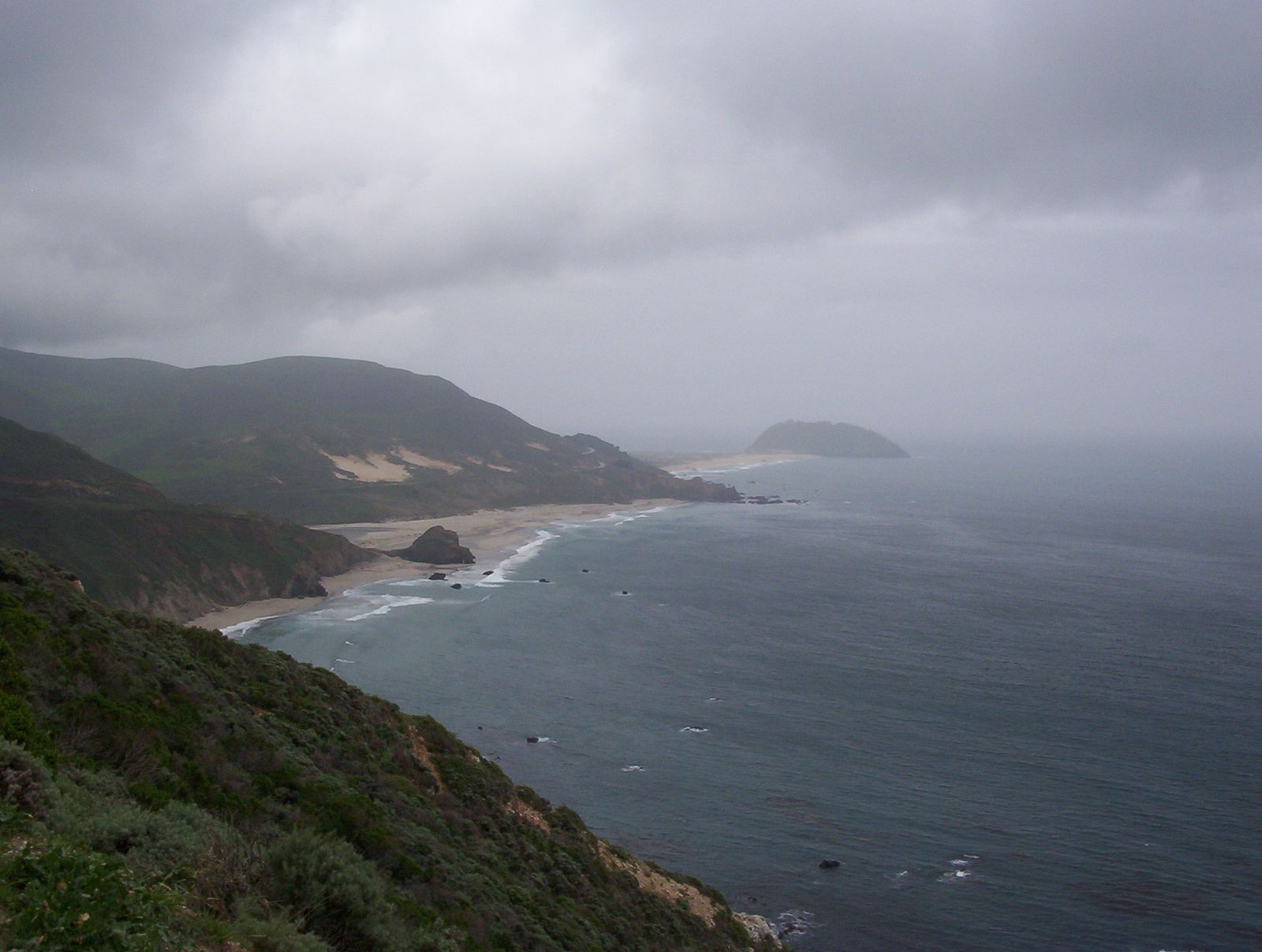
Andrew Molera State Park is Big Sur’s beach-and-bluff hiking, with 20 miles of trail and no day-use reservation to worry about, it’s the pick for open sky and ocean views rather than forest canopy. Pfeiffer Big Sur State Park is the redwood-forest core, home to the newly-reopened Pfeiffer Falls and the park most visitors treat as their home base for the area.
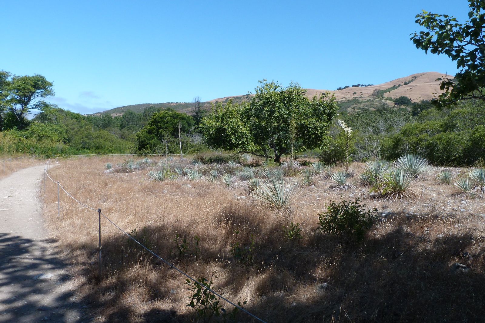
Julia Pfeiffer Burns State Park holds McWay Falls, currently trail-closed but still worth understanding before you plan around it, plus quieter inland trails like the Ewoldsen Loop that stay open regardless.
Garrapata State Park is pure coastal bluff, accessed from unmarked Highway 1 pullouts rather than a formal entrance, and rewards anyone willing to hunt for the right turnout. Limekiln State Park rounds out the group with historic 19th-century limekilns and its own waterfall, tucked into the least-visited corner of the five, worth the extra drive time if you want Big Sur without the crowds.
Road closures and access issues on Highway 1 in Big Sur
This coastline has had four major landslide closures in under a decade, Mud Creek (2017–2018), Rat Creek (2021), Paul’s Slide (2023–2024), and Regent’s Slide (2024–2026), and Regent’s Slide alone kept the highway split for nearly three years before reopening in January 2026. As of this writing, the full corridor is open with only routine maintenance-related delays.
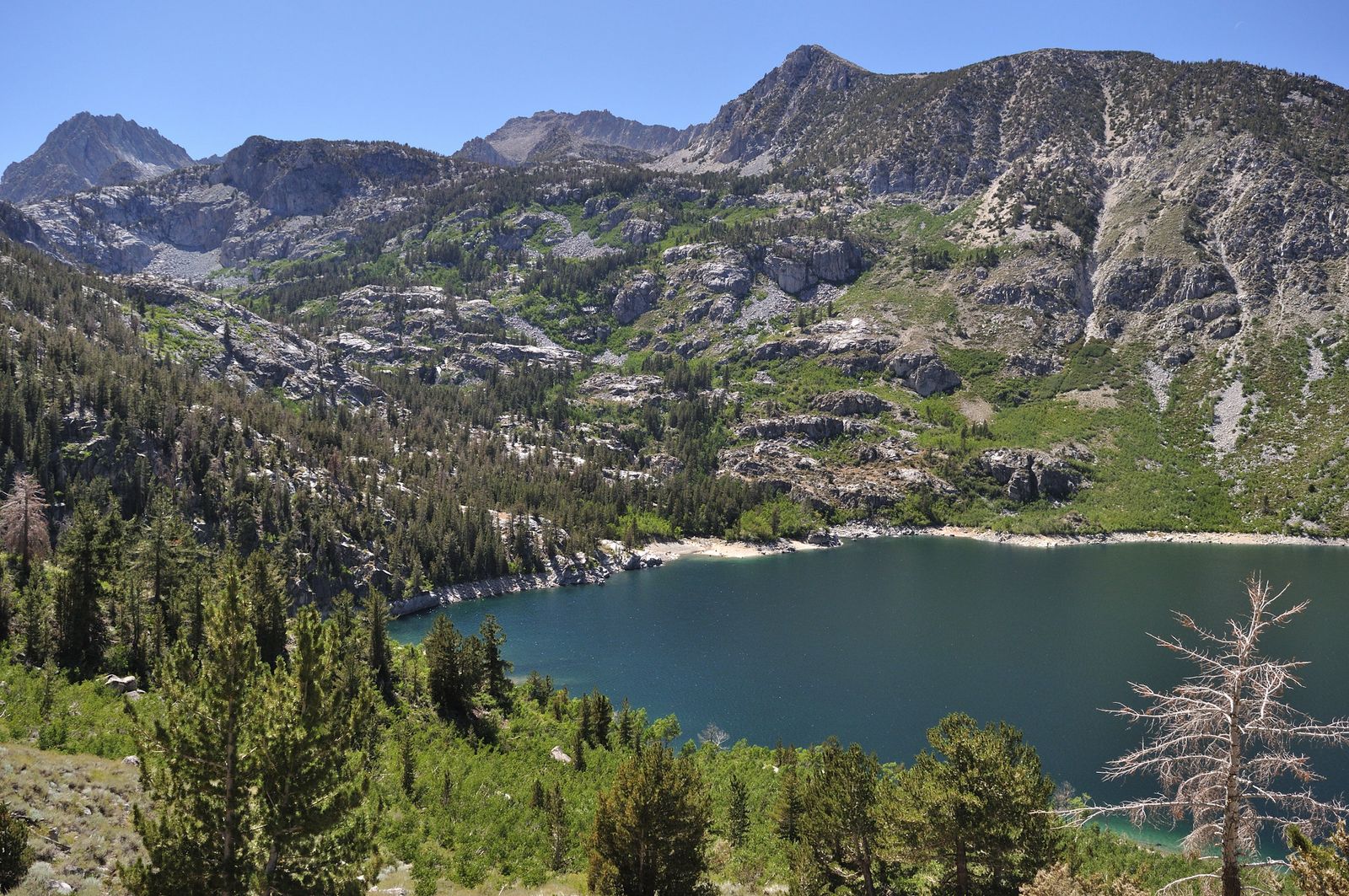
That history is exactly why “Is Highway 1 open right now?” deserves an actual check before you drive down, rather than an assumption based on what was true last time you visited.
Caltrans QuickMap is the fastest way to confirm current conditions, and the Nacimiento-Ferguson Road offers an alternate route in from the east if the coast highway itself is ever affected.
Best easy hiking trails in Big Sur
These are short enough for anyone to manage, though “easy” doesn’t mean risk-free once cliffs and closures enter the picture.
McWay Falls Overlook Trail: Big Sur’s most famous walk, currently closed
McWay Falls an 80-foot waterfall dropping directly onto a sand cove, one of only two true tidefalls in California, is Big Sur’s single most photographed spot, which makes this the correction most worth knowing before you go: the short overlook trail through Julia Pfeiffer Burns State Park has been closed since April 2025 for a long-term retaining wall repair project, with no confirmed reopening date as of this writing.
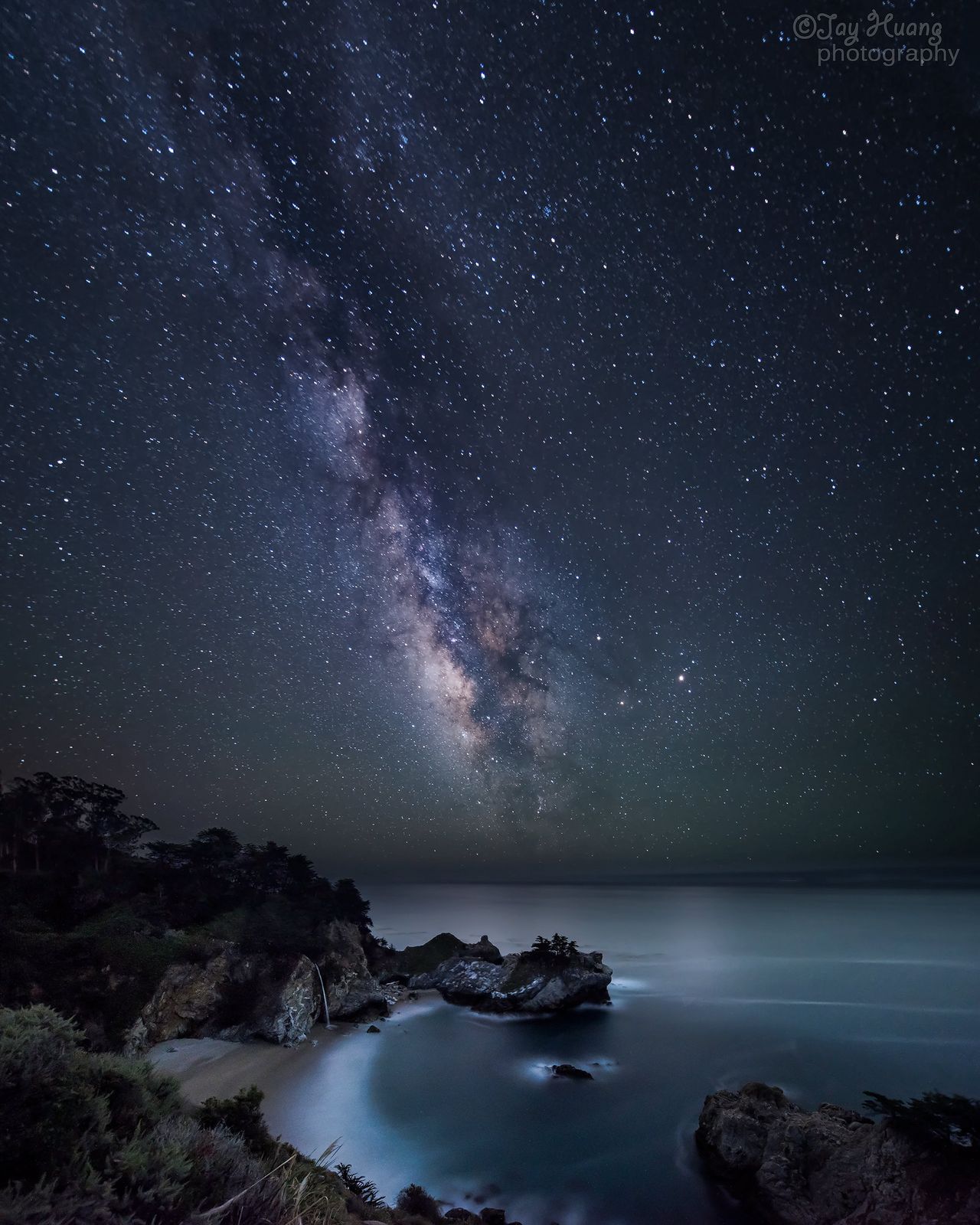
The only current view is from a small, limited-parking pullout on Highway 1 just north of the park entrance, not the unobstructed trail view older guides and photos describe.
Arrive early if you’re relying on that pullout, since the handful of available spots go quickly once the morning light starts drawing photographers. Check the park’s current status before building a trip around this stop, and don’t attempt to reach the beach or cove itself even from the trail when it’s open; it’s fenced off and citable for good reason, with a genuine history of rescue incidents in the closed area. For a listing of other coastal waterfall routes, check our best waterfall hikes guide.
Andrew Molera State Park trails: Big Sur’s best beach and bluff hikes
At 4,800 acres and 20 miles of trail, Andrew Molera is the largest of Big Sur’s state parks and the one built around open beach and bluff walking rather than forest canopy. The beach trail runs down to the mouth of the Big Sur River, and the Bluffs Trail adds a genuine whale-watching platform along the way. No day-use reservation is required here, and walk-in camping is available for anyone wanting to turn the visit into an overnight.
Best moderate hiking trails in Big Sur
This is where Big Sur’s signature day hikes live enough elevation and distance to feel like a real outing, without technical difficulty.
Pfeiffer Falls and Valley View Trail: Big Sur’s must-do waterfall hike, now reopened
This 2.4-mile loop with about 600 ft of gain packs three ecosystems into one hike: redwood forest, a 60-foot waterfall, and a Pacific Ocean view from the ridge at the top. After years of closure tied to past fire damage, California State Parks and Save the Redwoods League announced the trail’s reopening in September 2025, genuinely good news if you’d written this one off.
Entry is the standard $10 day-use fee at Pfeiffer Big Sur State Park, no separate reservation required.
Garrapata State Park: Big Sur’s best coastal bluff and beach trail
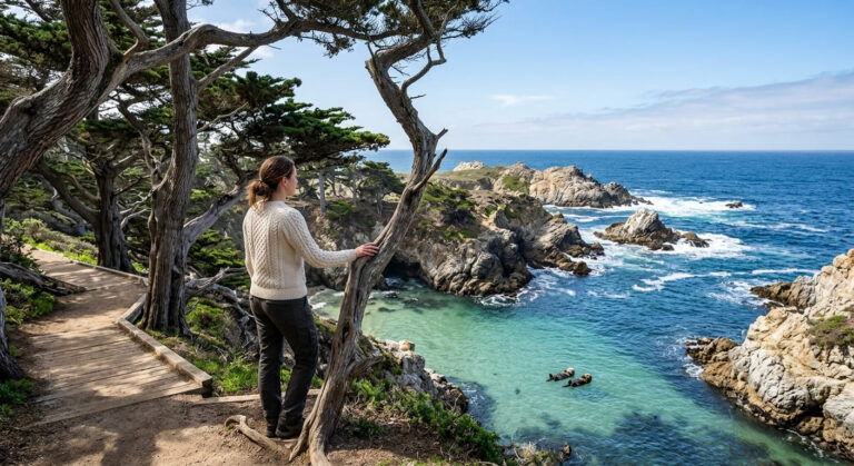
Garrapata doesn’t have a formal entrance or visitor center, you park at one of several unmarked pullouts along Highway 1 and pick up roughly 2.8 miles of coastal bluff trail from there. Sea otters and elephant seals are regular sightings, and gray whales pass by from December through March.
There’s no fee and no reservation here, which makes it one of the easiest Big Sur stops to work into a driving day without any advance planning at all.
Best difficult hiking trails in Big Sur
These require real fitness and, in most cases, real advance planning, this isn’t where you improvise.
Pine Ridge Trail to Sykes Hot Springs: Big Sur’s best backpacking route
Sykes Hot Springs, a set of natural rock-lined pools fed by geothermal activity along the Big Sur River, sits roughly 9 to 10 miles into the Ventana Wilderness, closer to 20 miles round trip with about 5,400 ft of cumulative elevation gain once you count every climb and descent along the way, more than casual trip reports usually let on.
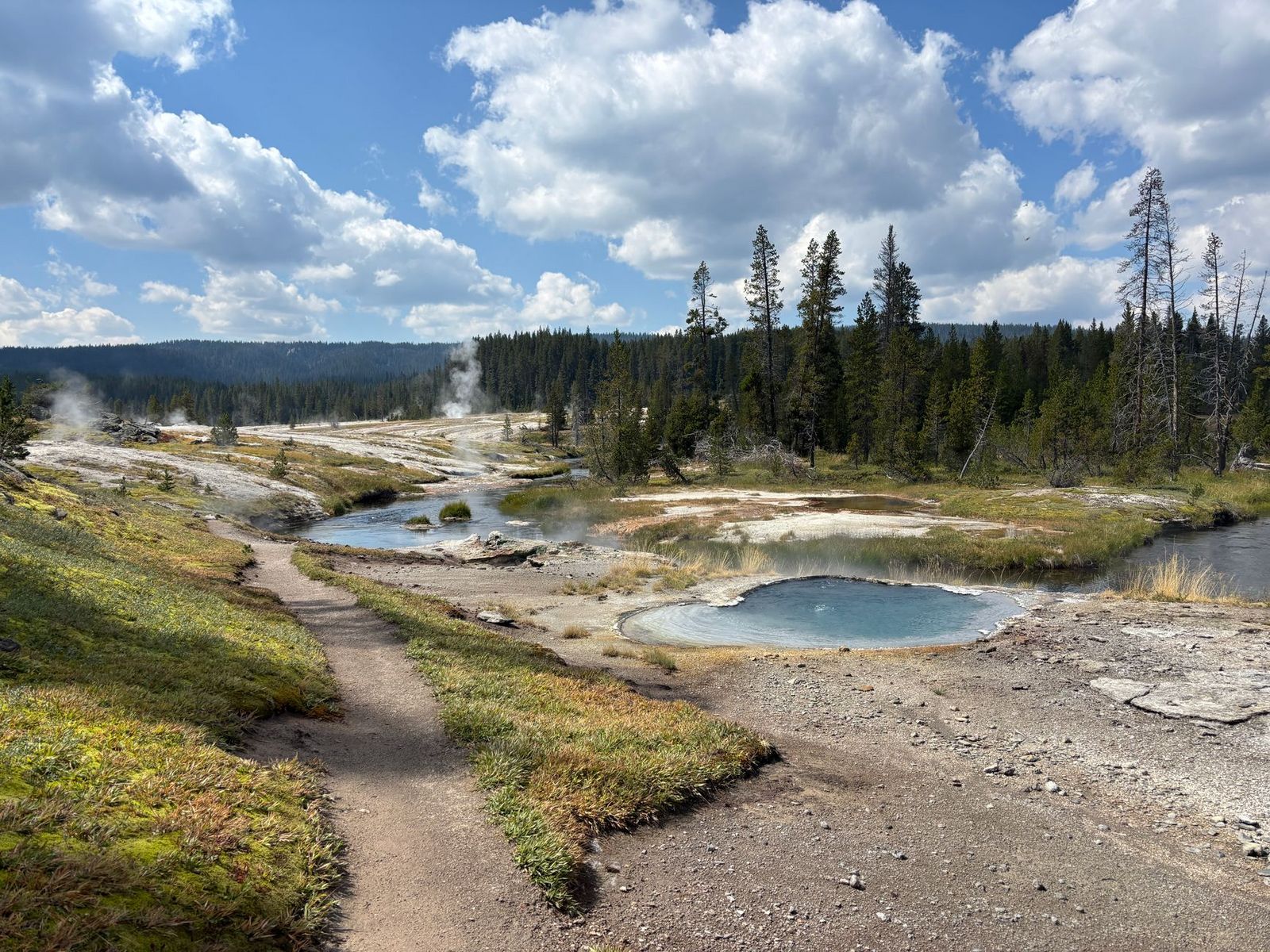
A free self-issue wilderness permit at the trailhead kiosk covers your entry (parking runs $10/day at Big Sur Station), and multiple river crossings along the route can turn genuinely dangerous during or after heavy rain, sometimes impassable outright in winter. Check our water hazards guide for advice on crossing swollen creeks.
One current rule worth knowing: a Forest Service order prohibits all campfires in Los Padres National Forest backcountry through January 2027, so plan on a backpacking stove instead, rangers are actively citing violations at this trailhead. Most hikers treat this as a two-to-three-day backpacking trip rather than a single push. You can buy a durable backpacking stove to prepare.
Cone Peak Trail: Big Sur’s most dramatic summit above the Pacific
At 9.2 miles round trip with about 2,900 ft of gain to a 5,155 ft summit, Cone Peak claims the steepest coastal rise in the contiguous United States measured straight from sea level, you’re gaining nearly as much elevation as some Sierra peaks, just starting almost at the ocean instead of a high-elevation trailhead. On a clear day, the view extends all the way to the Farallon Islands off San Francisco, a reward that matches the effort required to get there.
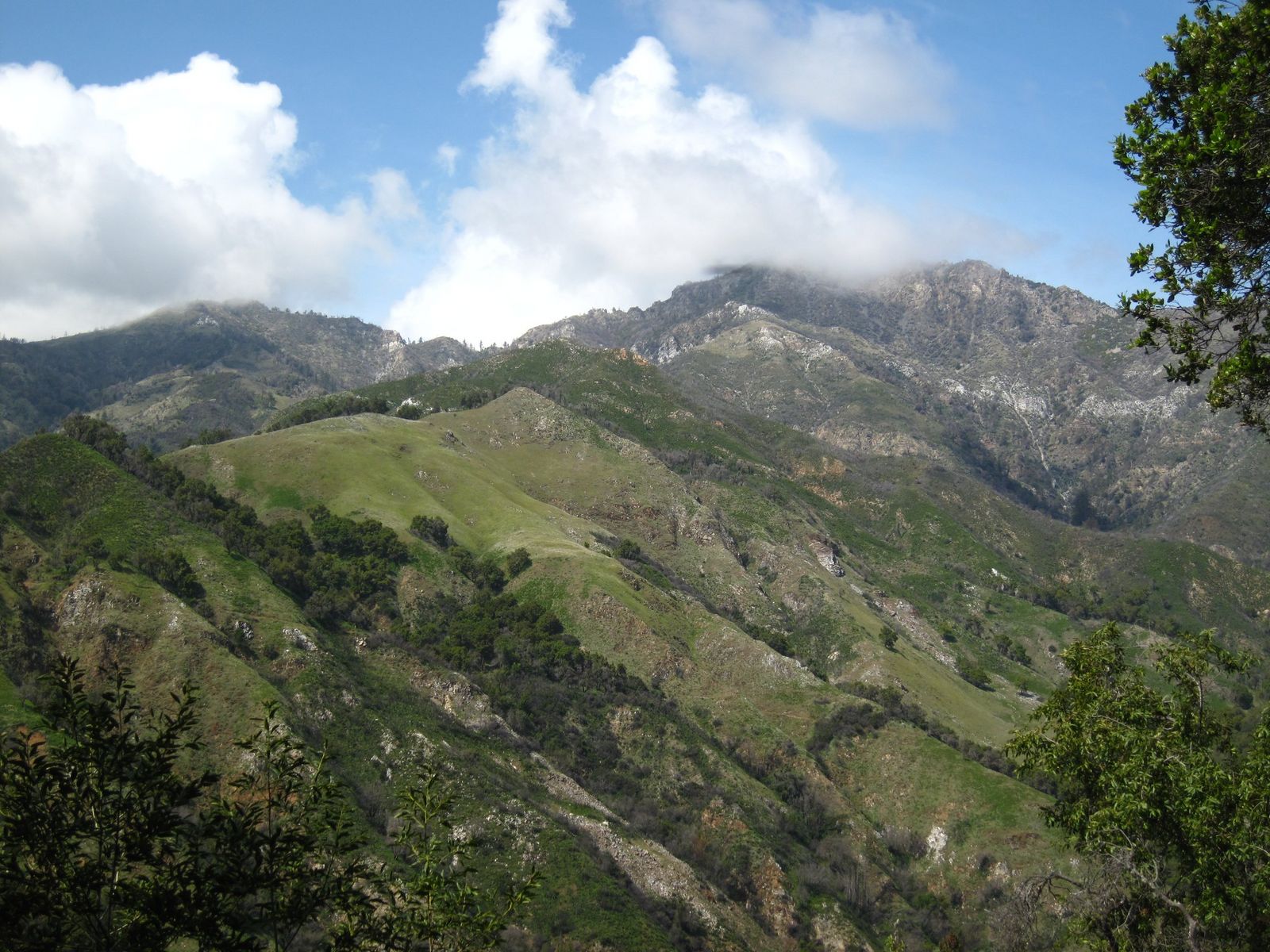
This is Monterey County’s answer to a genuine summit hike, and it deserves an early start given the sustained climbing involved. Review the grade scale on this trail in our hiking difficulty levels guide.
When are Big Sur trails open? Seasonal and closure guide
Big Sur’s hiking calendar is less about weather and more about infrastructure, fire, storm, and slide damage close specific trails and roads far more often than the season itself does.
How to check Big Sur trail and highway status before your visit
Four sources cover the different pieces: Caltrans QuickMap for Highway 1 itself, the California State Parks website for park-specific trail closures like McWay Falls, ReserveCalifornia for any campground booking, and the Big Sur Chamber of Commerce’s road conditions page for a plain-language summary of what’s currently affected.
Checking all four takes a few minutes and saves you from planning an entire day around a trail or road segment that’s been closed for months. Make sure to practice Leave No Trace trail etiquette to help preserve this fragile coastline.
Frequently asked questions about hiking in Big Sur, California
What hiking trails are open in Big Sur right now?
Andrew Molera, Garrapata, and the reopened Pfeiffer Falls Trail are all currently accessible, while McWay Falls’ overlook trail remains closed for a retaining wall project. Conditions change often enough here that checking the California State Parks website before you go is worth the few minutes it takes.
What are the best hiking trails in Big Sur, California?
Pfeiffer Falls and Valley View Trail is the best all-around moderate hike, Andrew Molera offers the best beach and bluff walking, and Cone Peak is the standout for experienced hikers wanting a real summit. McWay Falls remains iconic even with its trail currently closed, viewable from a Highway 1 pullout instead.
Do I need a reservation to visit Big Sur state parks?
No reservation is needed for day-use entry, it’s a simple $10-per-vehicle fee paid at the gate. Camping is the exception: sites at Pfeiffer Big Sur and Julia Pfeiffer Burns fill up to six months in advance through ReserveCalifornia.