Hiking Trails in Monterey County, California
Hiking Trails in Monterey County include some of the most photographed landscapes in the United States, from Point Lobos, often called the greatest meeting of land and sea anywhere, to more than 100 miles of Big Sur coastline and the remote Ventana Wilderness inland. I’ve spent four-plus years cataloging trails across this state, and this county rewards genuine planning more than most: several of its signature trails have real, current access issues that older guides simply haven’t caught up with, and a couple of the most-searched destinations in this entire guide have changed meaningfully in just the past year. This guide covers each hiking zone, plus three specific closures and fee corrections worth knowing before you drive down Highway 1.
Disclosure: Please note that some of the links below are affiliate links and at no additional cost to you, I may earn a commission. Know that I only recommend hiking gear I personally stand behind; when you use my affiliate links, it helps me run this blog and keep all of this content free of charge for readers (like you).
Key takeaways:
- Monterey County spans three zones: the Monterey Peninsula (Point Lobos, Asilomar), the Big Sur coast, and the remote Ventana Wilderness interior.
- Point Lobos requires no advance reservation for hiking; it’s a $10/vehicle day-use fee paid on arrival, not the $35 timed-entry system some sources describe.
- McWay Falls Overlook Trail has been closed since April 2025 for retaining wall repairs, expected into 2026; the falls are currently viewable only from a Highway 1 pullout.
- Pfeiffer Falls Trail just reopened in September 2025 after its own closure, a genuinely current, positive update.
- Garrapata State Park remains completely free with no reservation, making it one of the best low-friction Big Sur stops in the county.
Related
- Pinnacles National Park Day Trip & Itinerary Guide
- 5 Best Hiking Trails in Big Sur, Monterey County
- 5 Best Hiking Trails at Point Lobos, Monterey County
Why Monterey County is one of California’s most spectacular hiking counties
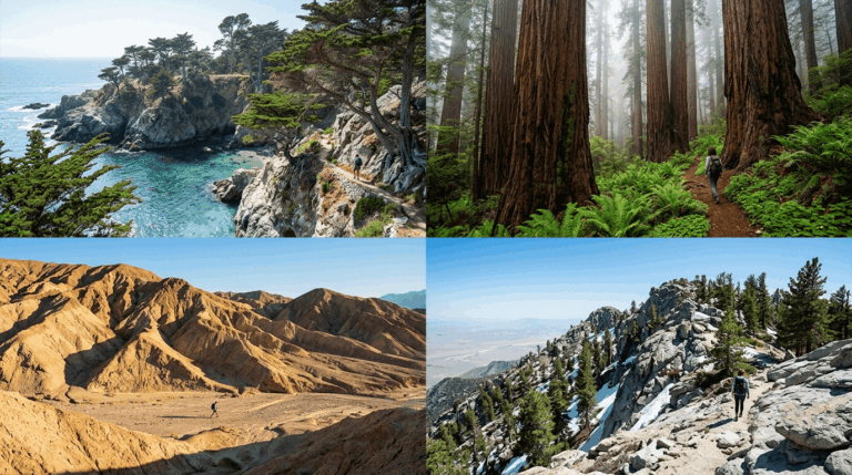
Monterey County’s hiking profile includes 100-plus miles of Big Sur coastline, Point Lobos State Natural Reserve, Garrapata State Park, Andrew Molera State Park, Julia Pfeiffer Burns State Park (home to McWay Falls), and the Los Padres National Forest interior, all within a single county widely considered among the most photographed hiking landscapes in the country.
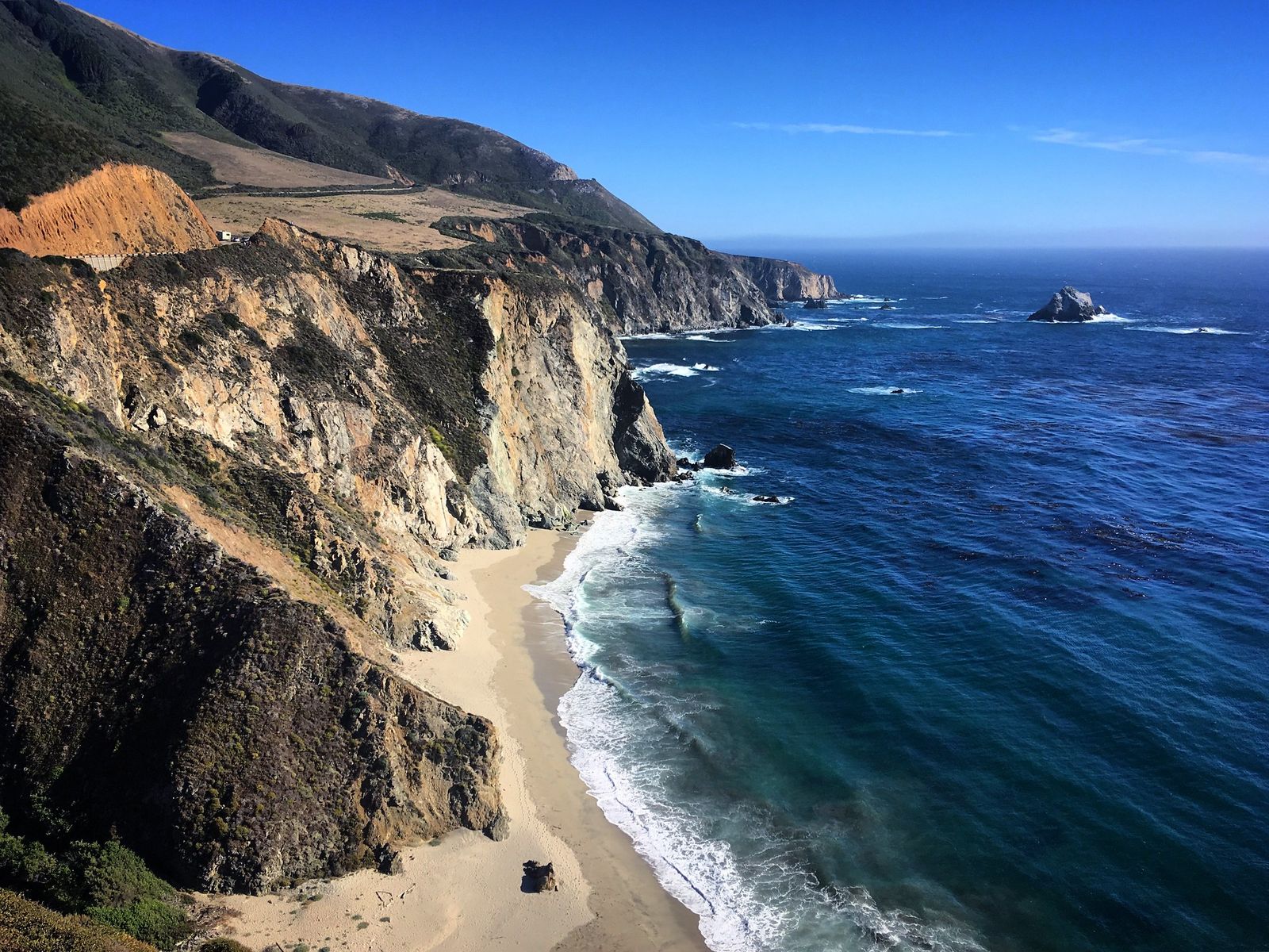
Monterey County’s three hiking zones
The Monterey Peninsula (Point Lobos, Point Pinos, Asilomar, Carmel River State Beach) offers accessible coastal trails close to the region’s towns, making it the easiest zone to fit into a shorter trip.
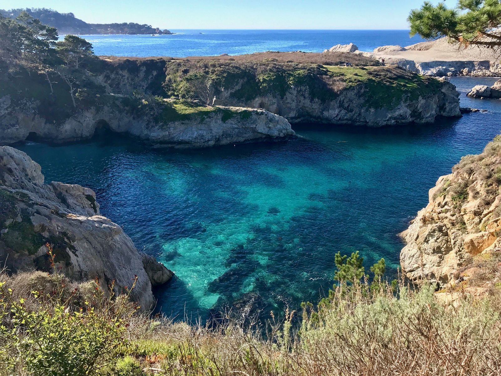
The Big Sur coast, Garrapata, Andrew Molera, Pfeiffer Big Sur, Julia Pfeiffer Burns, and Limekiln State Parks, runs along roughly 26 miles of Highway 1 in this county alone, delivering the dramatic cliffside scenery Big Sur is known for, though it also carries the most current closures and access changes of any zone in the county.
And the Los Padres National Forest interior, centered on the Ventana Wilderness, holds genuine backcountry hiking, including the Pine Ridge Trail to Sykes Hot Springs, a world away from the roadside pullouts most visitors experience on a typical Highway 1 drive-through.
Best hiking trails at Point Lobos State Natural Reserve, Monterey County
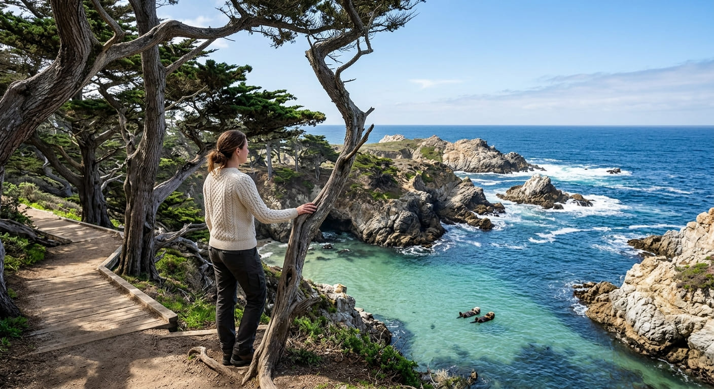
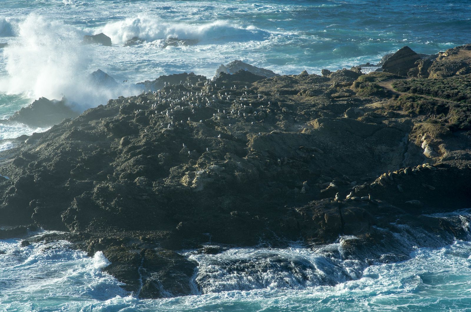
Point Lobos covers 550 acres with about 6 miles of trails, once described by landscape painter Francis McComas as “the greatest meeting of land and water in the world”; sea otters, harbor seals, and California sea lions are all realistic sightings on nearly any visit.
Cypress Grove Trail: Point Lobos’ most iconic short hike
This 0.8-mile loop passes through one of only two naturally occurring stands of Monterey cypress on Earth, including the Allan Memorial Grove, with sea stack views and tame sea otters visible in the cove below. It’s accessible and suitable for most fitness levels, and no advance reservation is needed, just the standard $10 per-vehicle day-use fee, paid at the entrance kiosk.
South Shore Trail and Whalers Cove Loop: Point Lobos’ best longer circuit
Combining the South Shore Trail with the Whalers Cove area into about 3.5 miles, this route runs along cliff-edge coastal terrain past China Cove’s strikingly turquoise water, Pelican Point, and a reliable harbor seal haul-out, arguably the best wildlife viewing packed into any short trail in California.
The reserve does close to new entries once parking fills, especially on summer weekends and holidays, so arriving early matters even though no advance booking exists; by mid-morning on a sunny Saturday, the entrance can already be turning cars away.
Best hiking trails in Big Sur, Monterey County
Big Sur’s roughly 26-mile Highway 1 corridor through Monterey County strings together several distinct state parks, each with a different hiking character, and two of the most-searched destinations here currently have real access changes worth knowing before you go.
Pfeiffer Falls and Valley View Trail: Big Sur’s best Monterey County day hike
At 2.4 miles with about 600 ft of gain, this loop in Pfeiffer Big Sur State Park combines redwood forest, a 60 ft waterfall, and a ridge view of the Pacific, three distinct ecosystems in one relatively short hike.
The Pfeiffer Falls Trail itself was closed for an extended period and only reopened on September 15, 2025, following a joint restoration effort by California State Parks and Save the Redwoods League, so this is a genuinely current recommendation rather than one carried over from an outdated guide.
McWay Falls Overlook Trail: the easiest Big Sur hike in Monterey County, currently closed
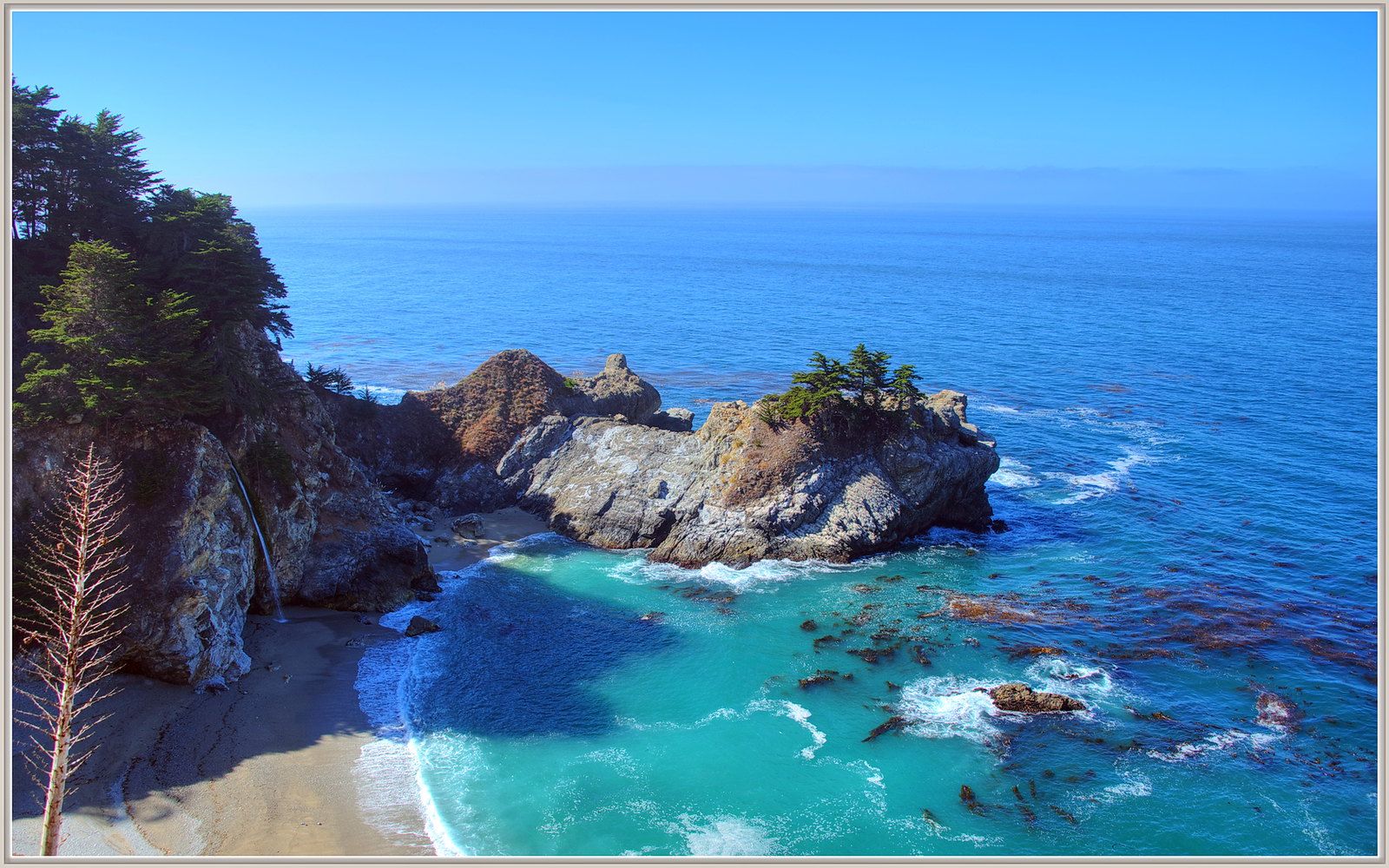
Under normal conditions, this is a 0.7-mile round-trip with no real elevation change, ending at an overlook above an 80 ft tidefall that drops directly onto a sand cove, one of only two coastal waterfalls in California and among the most photographed spots on the entire West Coast.
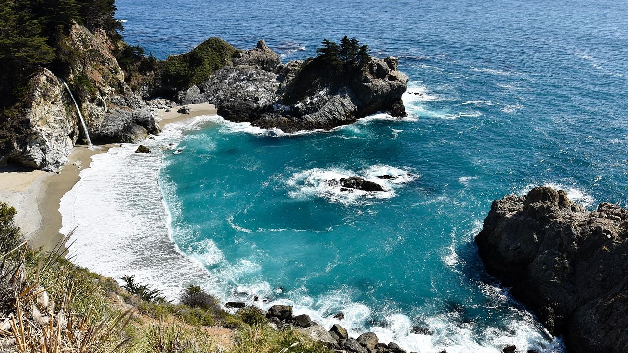
As of this writing, though, the Waterfall Overlook Trail itself has been closed since April 16, 2025, for a long-term retaining wall repair project that’s expected to continue into 2026. During the closure, McWay Falls can only be viewed from a small pullout area along Highway 1, not from inside the park.
The nearby Ewoldsen Trail remains open if you want a longer hike in the same park while the overlook trail is out of service. No advance reservation is needed for day use either way; it’s a standard $10 per-vehicle fee paid on arrival.
Garrapata State Park trails: Monterey County’s best free coastal hiking
With no entry fee and no reservation required, Garrapata offers about 6 miles of trails accessed via unmarked Highway 1 pullouts south of Carmel, a genuinely low-friction stop compared to the fee-based parks elsewhere on this list.
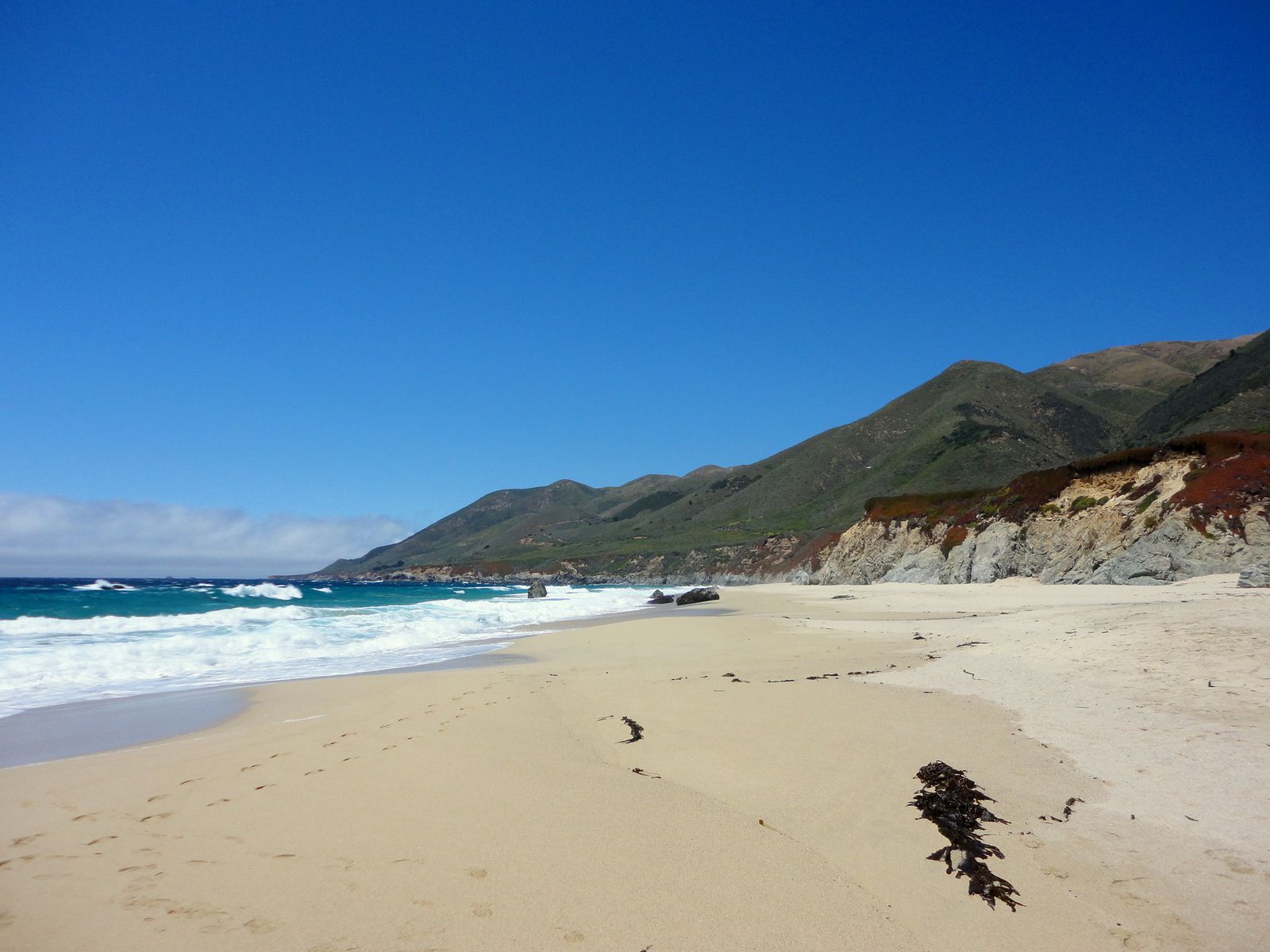
The bluff trail delivers real harbor seal and sea otter viewing, a scramble route reaches Garrapata Beach, and December through March overlaps with the gray whale migration season, adding a real chance of an offshore sighting during a coastal walk.
Best hiking trails on the Monterey Peninsula
Beyond Point Lobos, the peninsula’s own coastline offers accessible, low-commitment hiking well suited to visitors who want real scenery without a long drive down Highway 1. That same Highway 1 corridor runs north into the hiking trails in Santa Cruz, the peninsula’s closest coastal counterpart in the Central Coast/Bay Area hiking network.
Asilomar Coastal Trail: Pacific Grove’s best accessible coastal walk
This 1.5-mile paved and boardwalk trail runs along Pacific Grove’s rocky coastline, passing tide pools (best explored at low tide) and reliable harbor seal sightings. It’s free, requires no reservation, connects directly to Asilomar State Beach parking, and stays accessible year-round, a strong pick for visitors who want real coastal scenery without technical trail demands.
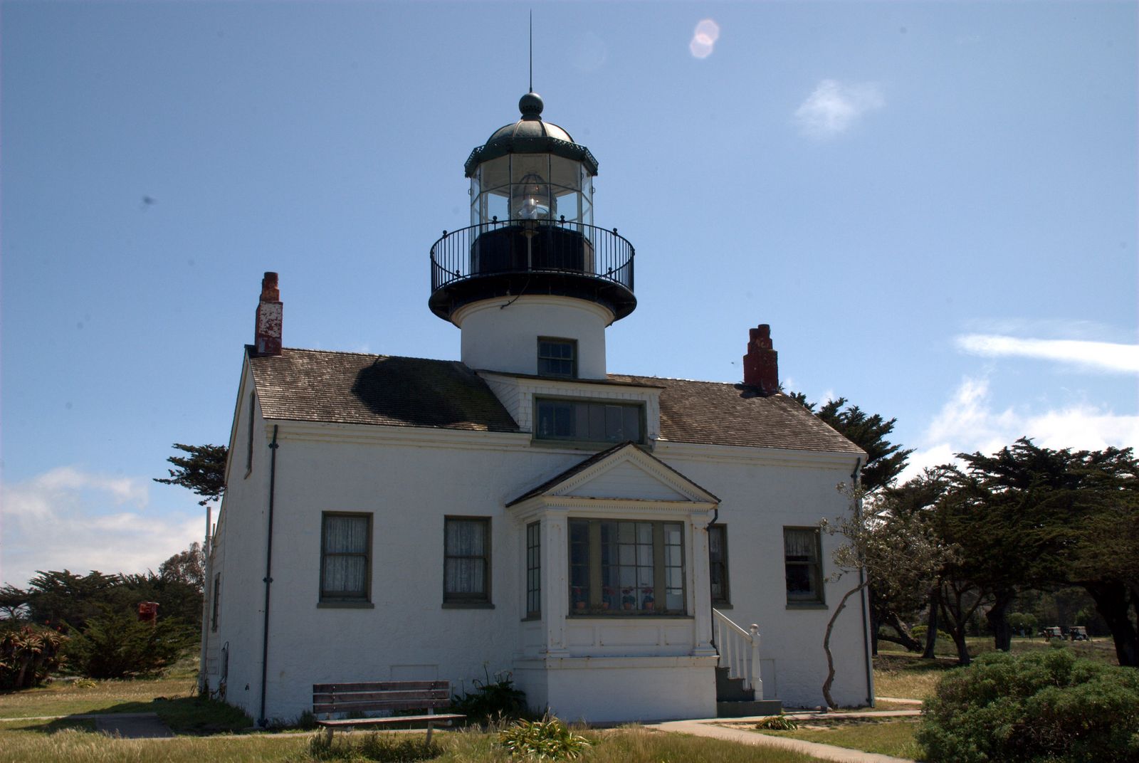
The Asilomar Conference Center’s perimeter paths add extra mileage if you want to extend the walk, and the trail’s paved and boardwalk surface makes it one of the few genuinely wheelchair-accessible coastal routes in the county. Point Pinos, home to the oldest continuously operating lighthouse on the West Coast, sits nearby in Pacific Grove and pairs well with an Asilomar visit for anyone wanting a bit more history alongside the coastal scenery.
Ventana Wilderness: Monterey County’s best backcountry hiking
The Ventana Wilderness covers roughly 240,000 acres of Los Padres National Forest, centered on the Big Sur River drainage, and it’s genuinely a different world from the coastal parks a short drive away: dense chaparral, redwood-shaded canyons, and a level of remoteness that surprises visitors who came to Big Sur expecting only roadside ocean views. The Ventana high country backs up against Hiking Trails in San Benito County to the east, home to Pinnacles National Park’s quieter side.
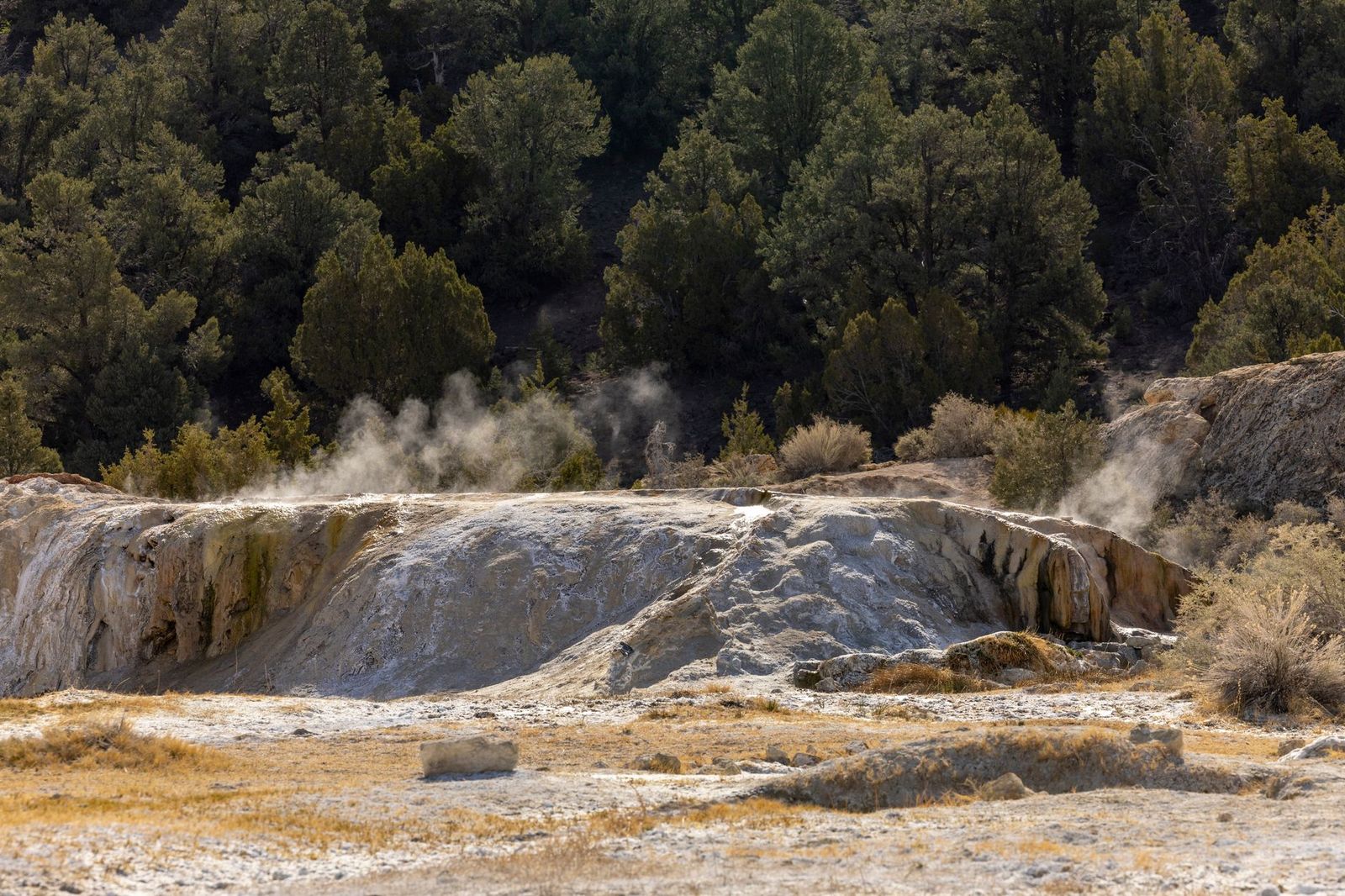
The Pine Ridge Trail to Sykes Hot Springs (about 20 miles round-trip) is the region’s best-known route, connecting Big Sur Station to a genuine backcountry hot spring via a series of streamside camps, and requiring a wilderness permit and proper bear-resistant food storage.
Multiple river crossings along the way can become impassable during or after heavy rain, and the trail is currently open under normal seasonal conditions; check the Big Sur Multi-Agency Visitor Center for current crossing conditions before a trip, since this is genuinely remote terrain where a miscalculated crossing is a serious risk, not just an inconvenience.
Built originally in 1916, the trail has a long history of both use and periodic storm and fire damage, which is exactly why checking current conditions matters more here than at any other trail in this guide.
If you’re building toward a Big Sur or Ventana trip, our hiking safety guide covers water-crossing and remote-trail preparation worth reviewing beforehand, and honestly checking a route’s current difficulty rating matters as much here as anywhere in the state.
Frequently asked questions: hiking trails in Monterey County
Are hiking trails open in Monterey County right now?
Most are, but check specific status before you go. McWay Falls Overlook Trail has been closed since April 2025 for repairs, while Pfeiffer Falls Trail just reopened in September 2025 after its own closure.
Do I need a reservation to visit Point Lobos State Reserve?
No, Point Lobos charges a $10 per-vehicle day-use fee paid on arrival, with no advance reservation required for regular hiking; the reserve can close to new entries once parking fills on busy days, which is different from a booking system.
What are the best hiking trails in Monterey County?
Point Lobos’ Cypress Grove and South Shore Trails, Pfeiffer Falls in Big Sur, and Garrapata State Park’s free bluff trails cover the strongest options across the county’s coastal and canyon terrain.
Is there free hiking near Monterey or Carmel?
Yes, Garrapata State Park and the Asilomar Coastal Trail are both completely free with no reservation, while Point Lobos and the Big Sur state parks charge a standard day-use parking fee.
What is the best hike in Big Sur for a first-time visitor?
Pfeiffer Falls and Valley View Trail is the strongest introduction, packing redwood forest, a real waterfall, and an ocean ridge view into one manageable 2.4-mile loop, especially now that the trail is freshly reopened.
What wildlife can I see while hiking in Monterey County?
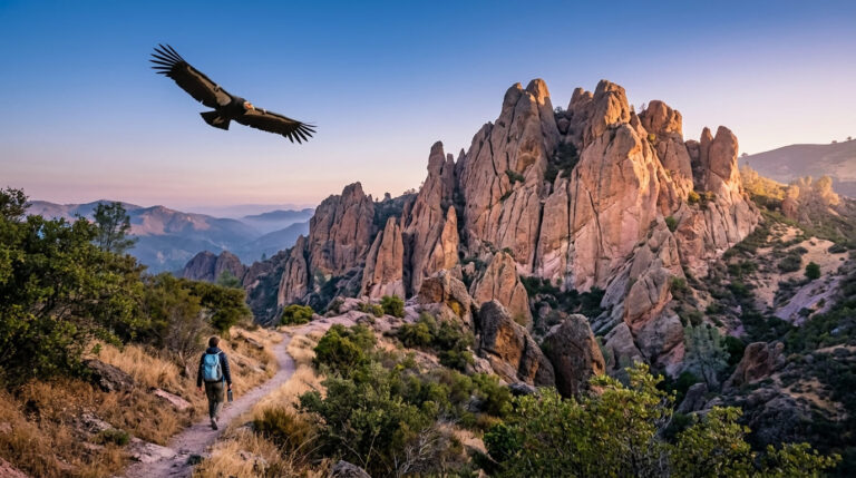
Sea otters and harbor seals are common at Point Lobos and along the Big Sur coast, gray whales pass by December through March, and California condors are an occasional sighting in the Big Sur and Ventana Wilderness backcountry.