The 5 Best Hiking Trails in Santa Ynez Mountains, Santa Barbara County
This is the deep dive; my broader Santa Barbara County guide only had room to gesture at five trails through the actual front-country range above the city, from a genuine summit push to swimming holes carved into sandstone. Start at the Santa Barbara County trail for the complete picture across the whole county.
Disclosure: Please note that some of the links below are affiliate links and at no additional cost to you, I may earn a commission. Know that I only recommend hiking gear I personally stand behind; when you use my affiliate links, it helps me run this blog and keep all of this content free of charge for readers (like you).
One access note before the list: hiking trails in Santa Ynez Mountains have a real, complicated fire-and-storm history, and one trail here is still working through it. I’ll mention exactly where that stands. If you’re new to comparing effort across a range this varied, from a short summit walk to a genuine multi-mile climb, my difficulty ratings guide is worth reading first.
Key takeaways:
- The range’s highest point: La Cumbre Peak, is a short walk from Camino Cielo Road to the best single view in this guide.
- The swimming destination: Seven Falls sandstone pools on Mission Creek, genuinely popular for a reason.
- The county’s highest-search-volume trail: Rattlesnake Canyon, a shaded, creekside climb to Gibraltar Road.
- The reliable summer option, Cold Spring Trail, is consistently shaded and has a real recovery history behind it.
- The one still finding its footing: Romero Canyon Trail, a historic wagon road with a genuinely complicated, still-evolving access situation.
- This range has been through more fire and storm damage than any other in this site’s California coverage. Read each trail’s access section, not just the mileage.
La Cumbre Peak Trail
Trailhead access: free parking at Camino Cielo Road
Drive up San Marcos Pass to East Camino Cielo Road and park along the shoulder near Angostura Pas free, no permit, and the most direct approach to the range’s highest named peak.
What you’ll see: the highest summit above Santa Barbara
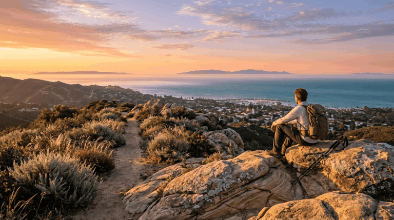
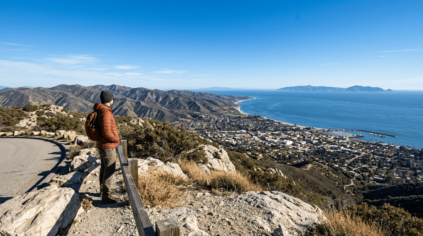
From the ridge, it’s a short push, roughly three-quarters of a mile each way with about 600 feet of gain on paved road to the true summit. The view from the top is the most comprehensive single vantage point in this entire guide: the full Santa Barbara coastline, the city itself, and the Channel Islands offshore, weather permitting.
Best time to hike La Cumbre Peak: clear winter days for the farthest views
Winter’s typically clearer, less hazy air gives you meaningfully better long-distance visibility here than the marine layer and summer haze common the rest of the year.
Seven Falls Trail (via Tunnel Trail/Mission Canyon)
Trailhead access: the Tunnel Trailhead, Mission Canyon legal parking matters
This shares its general trailhead area with Inspiration Point, covered in my county-wide guide, but this route follows Mission Creek rather than climbing to the ridge. Park legally along Tunnel Road; tickets are frequently issued here for improper parking.
What you’ll see: a series of swimming holes and small waterfalls
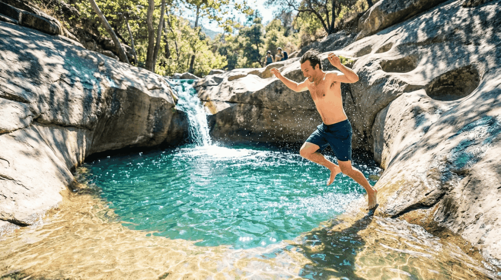
It’s about 2.4 to 3 miles round trip with roughly 800 feet of gain, crisscrossing Mission Creek as it climbs into a narrow sandstone canyon. The falls themselves have carved a genuine series of pools and potholes into Coldwater Sandstone, some of the best front-country swimming holes in Santa Barbara, popular enough to draw real crowds on hot weekends. Expect some scrambling and uneven footing near the upper pools.
Best time to hike Seven Falls: summer for swimming, spring for flow
Spring gives you the strongest waterfall flow after winter rain; by late summer, the falls can run dry entirely even though the pools often still hold water. Check current conditions if swimming specifically is the goal.
Rattlesnake Canyon Trail
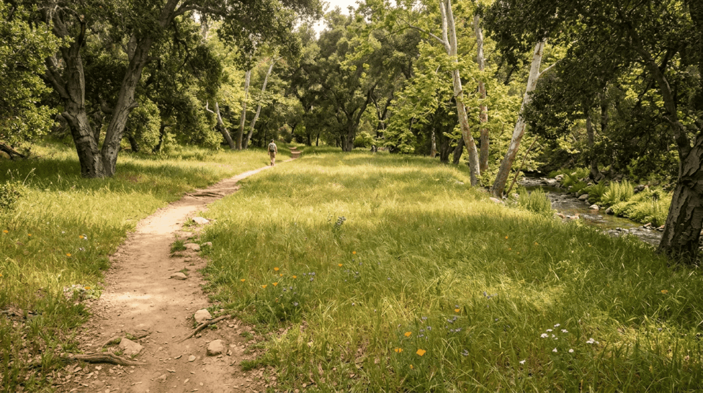
Trailhead access: free parking near Skofield Park
Park near the narrow bridge just before Skofield Park on Las Canoas Road, free, no permit, and consistently one of the most popular front-country trailheads in the city.
What you’ll see: a creekside canyon climbing to Gibraltar Road
It’s about 4.4 miles round trip, following a year-round creek through oak and sycamore woodland past Tin Can Meadow at roughly 1.75 miles before switchbacking up to a ridge-top junction with Gibraltar Road. This is a genuinely popular trail that runners, hikers, and horses share year-round, so trail etiquette around right-of-way matters more here than almost anywhere else in this guide. Watch for poison oak and rattlesnakes, particularly in summer.
Best time to hike Rattlesnake Canyon: weekday mornings to avoid crowds
This trail’s popularity relative to its length means weekend crowding is real; a weekday morning start gets you a noticeably quieter version of the same hike.
Cold Spring Trail (East Fork)
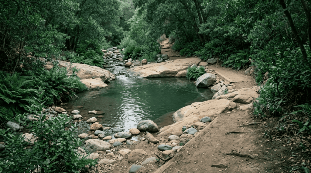
Trailhead access: free parking on Mountain Drive, Montecito
Park near Gould Park off Mountain Drive is free, no permit required, and a quieter alternative to the more crowded Santa Barbara-proper trailheads elsewhere in this guide. This canyon took real damage from the 2017 Thomas Fire and the storms that followed, though most of the trail reopened years ago; expect some lingering loose soil and rolling rock in spots as recovery continues.
What you’ll see: a shaded creek canyon with seasonal pools
The trail climbs through Matilija sandstone alongside a perennial creek, reaching a genuine swimming hole around half a mile in before switchbacking up toward the Montecito Overlook, a good turnaround point for most day hikers, well short of the much longer push to Montecito Peak that serious hikers sometimes add on.
Best time to hike Cold Spring Trail: a comfortable option even in summer
Consistent canopy shade makes this noticeably cooler than the exposed Lizard’s Mouth or La Cumbre Peak routes, a real advantage on a hot day when the physical demands of climbing add up fast, worth reading about in my physical health benefits guide.
Romero Canyon Trail
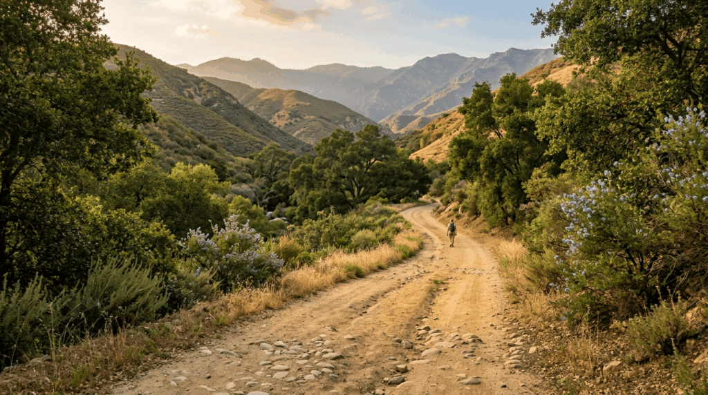
Trailhead access: East Camino Cielo or a lower Montecito street entrance. Check current status first
Two approaches exist: a lower trailhead off Romero Canyon Road near Bella Vista in Montecito, and a higher entrance from East Camino Cielo. Given this canyon’s extended recovery from the 2017 Thomas Fire, the 2018 debris flow, and 2023 storm damage, confirm current conditions with Los Padres National Forest or the Montecito Trails Foundation before planning a visit. Sections have reopened in stages, and the full historic route to the top may still carry restrictions.
What you’ll see: a historic wagon road through chaparral and oak woodland
This route follows a genuine 19th-century wagon road once used to cross the mountains a transportation-history entity distinct from every other trail in this guide, which are all built around natural features rather than human infrastructure. Water hazards here are worth real attention beyond the usual creek-crossing caution, given how thoroughly storm-driven erosion has reshaped this specific canyon.
Best time to hike Romero Canyon: fall for cooler temperatures and clear air, access permitting
Fall’s cooler temperatures and cleaner air make for the most comfortable hiking here, though right now, confirming what’s actually open matters more than the season.
Which of these five to hike first
If you want the single best view for the least effort, La Cumbre Peak is unmatched. If swimming is the goal, Seven Falls delivers genuine sandstone pools worth the crowds. And given Romero Canyon’s current uncertainty, Cold Spring Trail is the better bet if you specifically want creek and canyon scenery without an access question hanging over the trip.
Frequently asked questions
Is Rattlesnake Canyon Trail crowded?
Yes, genuinely, it’s one of the most popular front-country trails in Santa Barbara. Weekday mornings are meaningfully quieter than weekends.
Is Seven Falls Trail good for swimming?
Yes, when there’s water, spring after rain offers the best flow, though the pools often hold water well into summer even as the falls themselves slow down.
How tall is La Cumbre Peak?
It’s the highest named peak in the Santa Ynez Mountains directly above Santa Barbara, reachable via a short final stretch from East Camino Cielo Road.
Is Cold Spring Trail shaded?
Yes, consistently, this is one of the more comfortable summer hikes in this guide thanks to reliable canopy cover along the creek.
Is Romero Canyon Trail near Montecito?
Yes, with trailheads in both Montecito proper and along East Camino Cielo, though given the trail’s ongoing recovery from fire and storm damage, check current access before planning a visit.
Which Santa Ynez Mountains trail is easiest?
La Cumbre Peak, if you start from Camino Cielo Road, a short walk on paved road to the best view in this entire guide.