Best Hiking Trails in Santa Barbara County, California
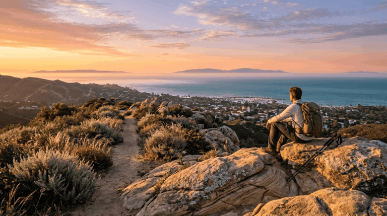
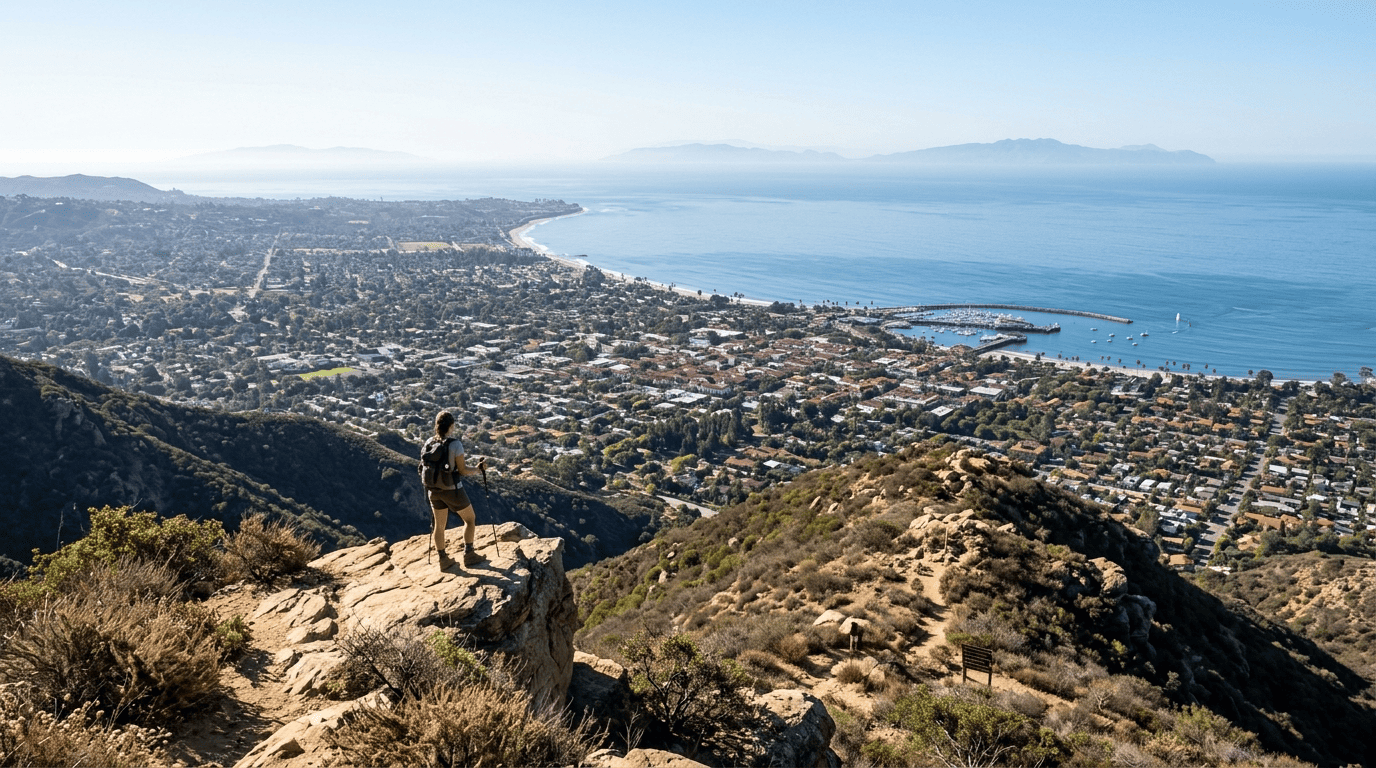
Santa Barbara is one of the only places in the country where a hiking trail can start at the edge of downtown and reach a 3,000-ft ridgeline with Channel Islands views within three miles.
Disclosure: Please note that some of the links below are affiliate links and at no additional cost to you, I may earn a commission. Know that I only recommend hiking gear I personally stand behind; when you use my affiliate links, it helps me run this blog and keep all of this content free of charge for readers (like you).
The Santa Ynez Mountains rise directly from the Pacific right behind the city, backed by nearly 2 million acres of Los Padres National Forest, one of the largest national forests in California. Add an undeveloped stretch of coastline at Gaviota, and the hiking trails in Santa Barbara County deliver a genuinely world-class range of terrain
Few places let a single afternoon include an ocean view, a mountain summit, and a genuine wilderness backdrop without ever leaving city limits behind by more than a few miles.
Key takeaways
- Santa Barbara County has three hiking zones: the Santa Ynez Mountains front range (city-adjacent), Los Padres National Forest backcountry, and the Gaviota Coast.
- Front-range trails like Rattlesnake Canyon and Cold Spring are open year-round in typical conditions, though heavy winter rain or fire activity can trigger temporary closures, always worth a quick check before a storm-season visit.
- Seven Falls gets genuinely crowded in spring when its seven cascading pools are running full; go on a weekday if you can.
- Figueroa Mountain’s wildflower bloom peaks in March and April, drawing crowds specifically for ceanothus, poppies, and lupine displays.
- The San Rafael Wilderness was California’s first federally designated wilderness area, established in 1968, and remains one of the state’s most genuinely remote backpacking destinations.
Related
- Channel Islands National Park: How to Get There & Hike
- 5 Best Hiking Trails in Santa Barbara County
- 5 Best Hiking Trails in the Santa Ynez Mountains, Santa Barbara County
Why Santa Barbara County is a world-class hiking destination
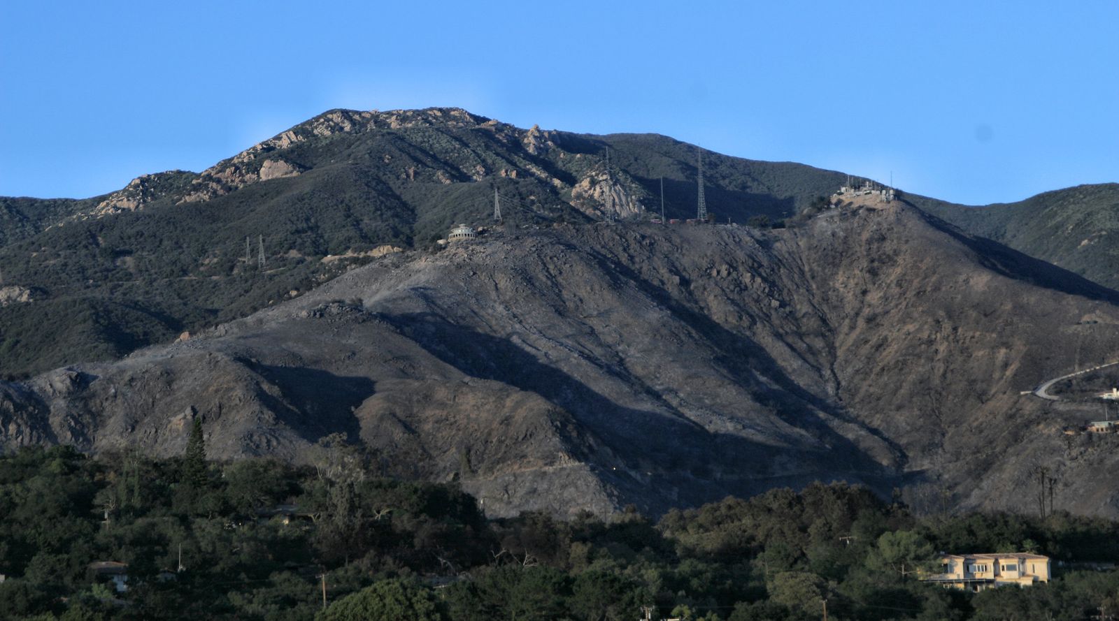
Few American cities get a mountain range this dramatic, this close. The Santa Ynez Mountains form a transverse range running east-west rather than the north-south orientation typical of California’s coastal ranges, which is part of why they rise so abruptly right behind Santa Barbara itself, with almost no foothill buffer softening the transition from city street to mountain trail.
Santa Barbara County’s three hiking zones
The Santa Ynez Mountains front range holds Rattlesnake Canyon, Cold Spring Trail, and Inspiration Point, all within a few miles of downtown and reachable without a long drive or a wilderness permit. Los Padres National Forest extends the county’s hiking into genuine backcountry, including the Sisquoc Condor Sanctuary, the San Rafael Wilderness, and Figueroa Mountain; this is where the county’s more serious, multi-day terrain lives.
The Gaviota Coast and North County round out the list with wine-country trails, Cachuma Lake, and undeveloped coastal bluffs that feel a world away from the city trails just a short drive south, trading elevation for open sky and ocean views at a gentler grade.
Best hiking trails near Santa Barbara city
This is what makes Santa Barbara unusual among California cities: serious mountain hiking that starts at a residential street rather than a remote trailhead an hour outside town. Several of the front-range trailheads sit within walking or a short bike ride of neighborhoods, which is part of why these specific hikes rank among the most-visited in the county year after year.
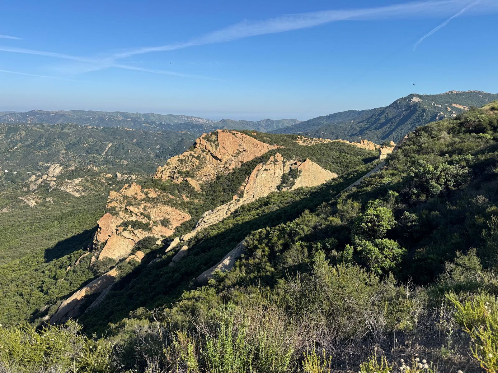
Inspiration Point Trail: Santa Barbara’s most popular city-adjacent hike
The classic route to Inspiration Point starts from the Tunnel Road trailhead in Mission Canyon, covering about 3.5 to 3.8 miles round trip with roughly 1,000 ft of elevation gain. If you choose to connect to Inspiration Point via Rattlesnake Canyon, expect a longer 6 to 7-mile round trip with significantly more climbing.
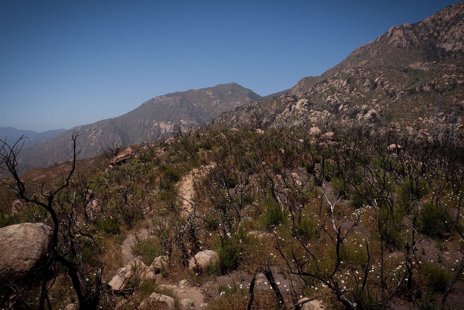
It’s free, needs no permit, and is easily the most popular hike in the county; arrive early on weekends if you want the trailhead parking or a quiet trail, since this exact route regularly ranks as Santa Barbara’s most-reviewed hike. Rattlesnake Creek crossings add some seasonal character in spring, though the trail itself is passable and popular year-round, and it’s shaded enough through much of the canyon to make a summer morning hike genuinely comfortable.
Cold Spring Trail: Santa Barbara’s best waterfall and swimming hole hike
A shorter 2.5 to 3-mile round trip along the East Fork of Cold Spring Trail leads to seasonal swimming holes and a waterfall cut into Matilija sandstone. Continuing all the way up to the ridge connector at Gibraltar Road extends the hike to about 5.4 miles round trip with roughly 1,700 ft of gain.
No permit is required, and the trail connects onward to Gibraltar Road and Santa Ynez Peak for anyone wanting to extend the day into a longer ridge hike with genuinely commanding views back over the city and coastline. Like most Santa Ynez Mountains front-range trails, expect poison oak along the creek sections, and pack accordingly if you’re prone to reacting to it.
Seven Falls Trail: Santa Barbara’s most scenic waterfall cascade hike
Reached via the Jesusita Trail connector in Mission Canyon, Seven Falls covers about 4 miles round trip with 500 ft of gain to a series of seven tiered pools and cascades cut into sandstone, each one a little different in shape and size than the last.
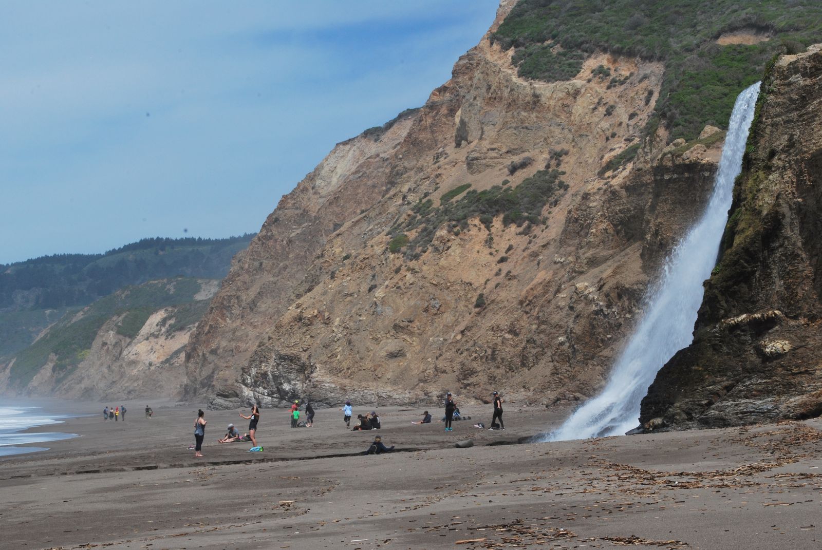
It’s free and permit-free, but genuinely crowded in spring when the falls are running at their best. A weekday visit is worth the schedule adjustment if you can manage it, since weekend mornings here fill up fast. Part of the approach crosses private property, so stay on the established route and respect posted signage rather than exploring off-trail shortcuts.
Best hiking trails in Los Padres National Forest, Santa Barbara County
Los Padres National Forest spans 220 miles along the Central Coast, and the slice within Santa Barbara County holds some of its most distinctive terrain, condor country, wildflower slopes, and one of the oldest wilderness areas in the state.
Figueroa Mountain Trail: Los Padres’ best wildflower and vista hike
From the Figueroa Mountain Campground, this 10-mile round trip climbs about 2,000 ft to a 4,528-ft summit with views stretching to the Channel Islands on a clear day. March and April bring the real draw: a wildflower display of ceanothus, poppies, and lupine that pulls visitors from well outside the county specifically for the bloom, turning entire hillsides shades of purple and orange for a few short weeks each spring.
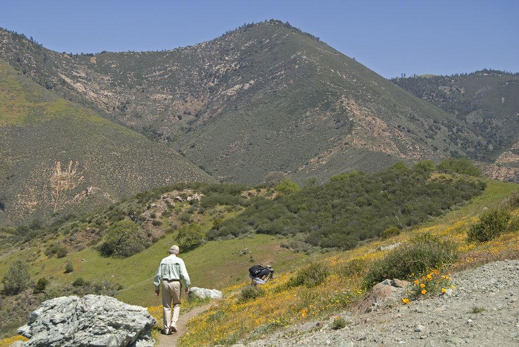
An Adventure Pass is required for parking at the trailhead, and the drive up Figueroa Mountain Road is scenic enough on its own to be worth the trip even outside bloom season.
San Rafael Wilderness: Santa Barbara’s best backcountry hiking
At 197,380 acres, the San Rafael Wilderness holds the distinction of being California’s first federally designated wilderness area, protected in 1968 under the same Wilderness Act that established the category nationwide. It centers on the Sisquoc River and Hurricane Deck, a striking sandstone ridge that looks closer to a moonscape than typical California backcountry, with remote routes that typically run 2 to 5 days for a proper backpacking trip.
The wilderness also protects habitat for the California condor, one of the rarest birds in North America, giving backpackers here a real shot at a sighting that most California trails simply can’t offer. Trailheads off Highway 166 and Santa Barbara Canyon Road provide access, and this is genuinely remote terrain, not a casual add-on to a front-range day hike; come prepared with real backcountry navigation skills and water-carrying capacity, since reliable sources can be sparse depending on the season and route.
Best coastal hiking trails in Santa Barbara County
The Gaviota Coast is Santa Barbara’s least-developed stretch of shoreline, and its trails trade the front range’s dramatic elevation for open bluffs and Pacific views at a gentler pace. That undeveloped coastline continues north into the hiking trails in San Luis Obispo, where the same Gaviota-style bluff hiking picks back up.
Gaviota Peak Trail: Santa Barbara coast’s best summit above the Pacific
From Gaviota State Park, this 6.4-mile round trip gains about 1,800 ft to a 2,458-ft summit, delivering a rare three-way view: the Pacific Ocean, the Channel Islands, and the Santa Ynez Valley, all from the same spot, a perspective few other summits in the county can match. Wind caves near the summit add a worthwhile detour, and Gaviota State Park’s $10 day-use fee covers trailhead access.
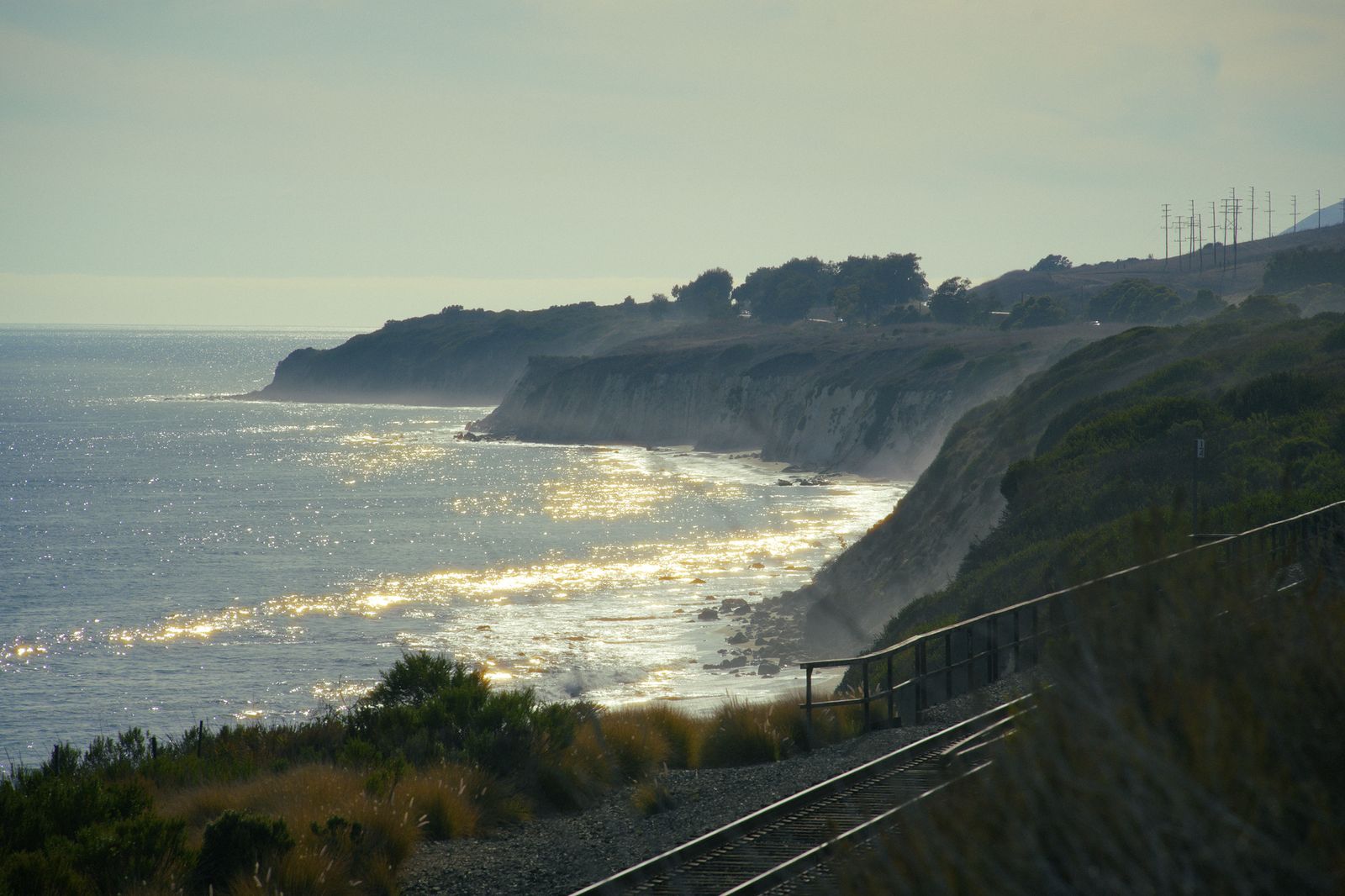
Carpinteria Bluffs, a shorter 2-mile trail further down the coast, is worth knowing about too if seal colony viewing is more your speed than a summit push, especially during pupping season when the bluffs draw a steady stream of visitors watching from a respectful distance. Carpinteria itself sits just a few miles from the Ventura County line, and the same coastal bluff character continues south into it.
Santa Barbara County rewards hikers who treat its three zones as genuinely different trips rather than one destination. A city-edge canyon hike in the morning doesn’t preclude a Los Padres backcountry trip or a Gaviota Coast afternoon later the same week.
Start with Rattlesnake Canyon or Cold Spring if it’s your first visit, and let Figueroa Mountain’s wildflower season or a San Rafael Wilderness backpacking trip pull you further into the county once you’re hooked. Few California counties pack this much variety into a single trip without demanding hours of driving between each stop.
Frequently asked questions about hiking trails in Santa Barbara County
Are hiking trails open in Santa Barbara right now?
Generally, yes, front-range trails like Rattlesnake Canyon, Cold Spring, and Seven Falls are open year-round in typical conditions. Heavy winter rain or fire activity can trigger temporary closures on these same trails, so check the Los Padres National Forest’s current conditions page if you’re visiting during or right after a storm.
What are the best hiking trails near Santa Barbara city?
Inspiration Point (via Tunnel Road) is the most popular, with Cold Spring Trail and Seven Falls close behind for waterfall and swimming-hole appeal. All three start within a few miles of downtown and require no permit.
Do I need a permit to hike in Santa Barbara County?
Most front-range day hikes near the city are free with no permit required. For trailhead parking in certain Los Padres National Forest recreation sites (like Figueroa Mountain), an Adventure Pass or Interagency Pass is required. Day hikes into the San Rafael Wilderness do not require a entry permit, though a campfire permit is required if using a camp stove.
What is the best beginner hike in Santa Barbara?
Cold Spring Trail’s East Fork is a solid starting point: well-marked, not overly long, and rewarding with seasonal swimming holes and a waterfall. Inspiration Point is a good second choice if an ocean view matters more than water features.
When do the wildflowers bloom for hiking near Santa Barbara?
Figueroa Mountain’s display peaks in March and April, with ceanothus, poppies, and lupine drawing hikers specifically for the bloom. Timing a visit around those two months gives you the best shot at seeing it at full color.
Are there hiking trails to waterfalls near Santa Barbara?
Yes, Seven Falls and Cold Spring Trail are the two standouts, both running best in spring when seasonal flow is highest. Seven Falls gets notably crowded during peak bloom season, so a weekday visit is worth the trade-off if your schedule allows it.