Hiking Trails in San Luis Obispo County, California
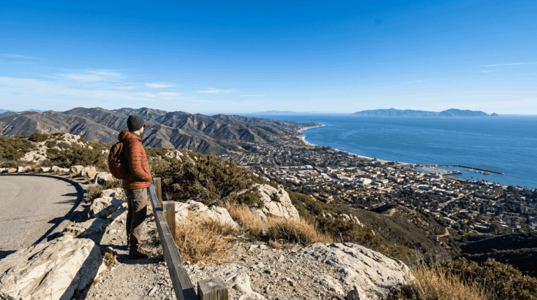
San Luis Obispo County gets treated as a drive-through stop between LA and San Francisco, which badly undersells the hiking trails in San Luis Obispo County, a region with nine volcanic peaks poking straight up out of otherwise flat terrain, 100 miles of largely undeveloped coastline, and genuine Los Padres backcountry within an hour of downtown.
Disclosure: Please note that some of the links below are affiliate links and at no additional cost to you, I may earn a commission. Know that I only recommend hiking gear I personally stand behind; when you use my affiliate links, it helps me run this blog and keep all of this content free of charge for readers (like you).
Locals hike these trails year-round; visitors mostly just pass through on Highway 101 without realizing what’s a short detour away. Here’s the real hiking trail picture, zone by zone.
Key takeaways
- San Luis Obispo County holds three distinct hiking zones: the volcanic morros around SLO city, the Montana de Oro/Morro Bay coastline, and Los Padres National Forest backcountry; most visitors only explore the first one.
- The Nine Sisters are a chain of ancient volcanic plugs stretching from San Luis Obispo to Morro Bay, with Bishop Peak as the tallest at roughly 1,546 to 1,559 ft.
- Bishop Peak’s true summit requires real scrambling, and most hikers stop at a lower, informal viewpoint instead; treat the top section with genuine caution regardless of your fitness.
- Montana de Oro State Park packs 50 miles of trail into 8,000 acres of some of the most undeveloped coastline left in California.
- You cannot hike to the top of Morro Rock, and it’s a protected Chumash cultural site and peregrine falcon nesting habitat, closed to climbing since the 1960s; the base is accessible instead.
- Los Padres National Forest trailheads near SLO require an Adventure Pass, the same system used across Southern California’s national forests.
Related
- Montaña de Oro State Park Hiking Guide
- 5 Best Hiking Trails in San Luis Obispo County
- 5 Best Coastal Hiking Trails Near Morro Bay, San Luis Obispo County
Why San Luis Obispo County is Central California’s best hiking destination
Nine volcanic morros, ancient volcanic plugs including Morro Rock and Bishop Peak, rise straight out of otherwise flat terrain between San Luis Obispo and Morro Bay, paired with 100 miles of wild coastline and Los Padres National Forest’s southern reaches. Few Central Coast counties offer this much geological variety in such a compact area, and the morros specifically give SLO a skyline unlike anywhere else on the coast.
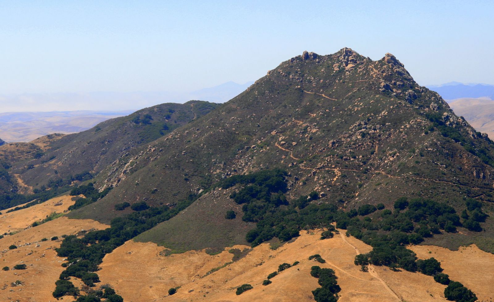
San Luis Obispo County’s three hiking zones
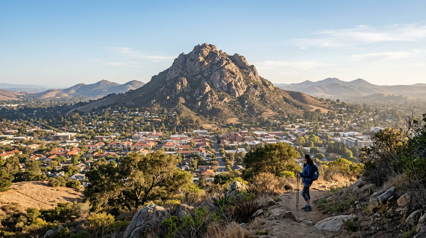
The city of SLO itself is surrounded by morros: Bishop Peak, Cerro San Luis, and Chumash Peak all offer volcanic plug hiking within 5 miles of downtown, making this one of the only county seats in California where you can summit a genuine mountain on a lunch break.
Morro Bay and Montana de Oro State Park add genuine coastal wilderness, anchored by the iconic Morro Rock, roughly 15 minutes north of the city. Los Padres National Forest and the Santa Lucia Range round out the county’s backcountry, including Soda Lake and Garcia Mountain for hikers willing to drive further from town and trade coastal views for genuine solitude.
Best hiking trails near San Luis Obispo city
The Nine Sisters, a chain of volcanic plugs running from SLO to Morro Bay, put genuine summit hiking within a few miles of downtown, a rare feature for a city this size.
Bishop Peak Trail: San Luis Obispo’s most popular summit hike
The tallest of the Nine Sisters is roughly 1,546 to 1,559 ft, with mileage and gain that vary by trailhead: the Highland Drive approach runs about 3.3 to 3.5 mi round trip with 920 to 950 ft of gain, while the Patricia Drive approach runs closer to 4.2 mi with 1,000 to 1,175 ft of gain.
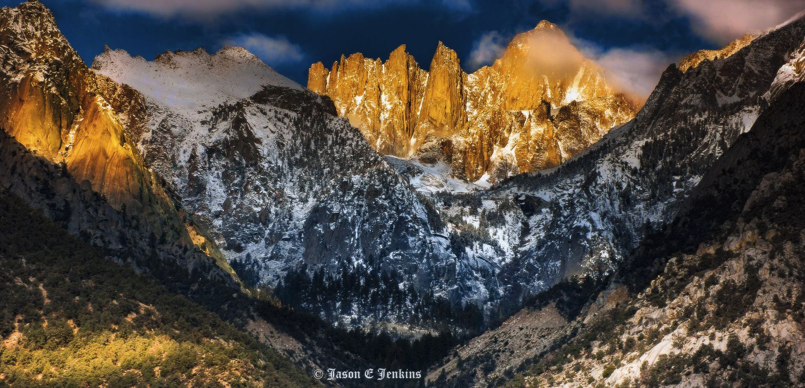
The true summit requires real scrambling over large granite boulders, and most hikers stop at a lower, informal viewpoint instead; treat the top section with genuine caution, since falls here are a documented risk regardless of fitness level, and the exposed granite offers little margin for error in wet or windy conditions.
No fee or permit is required, and weekends draw real crowds, so arrive early if you want street parking near either trailhead, since both fill fast once the morning rush begins.
Cerro San Luis Trail: SLO’s best short morning summit hike
A 3.8-mile round trip with about 900 ft of gain from the Madonna Road trailhead, passing the illuminated “M” visible from town before reaching the summit; the letter itself is a local landmark, maintained by Cal Poly students for decades. It’s a genuinely easier approach than Bishop Peak, open year-round, free, and widely considered the best sunrise or sunset hike in the immediate SLO area, with none of the scrambling risk that makes Bishop Peak’s true summit a more serious undertaking.
Best hiking trails at Montana de Oro State Park, SLO County
Montana de Oro packs 50 miles of trail into 8,000 acres of some of the most undeveloped coastline left in California, near Los Osos; the name means “mountain of gold,” a reference to the spring wildflower blooms that carpet the hillsides here.
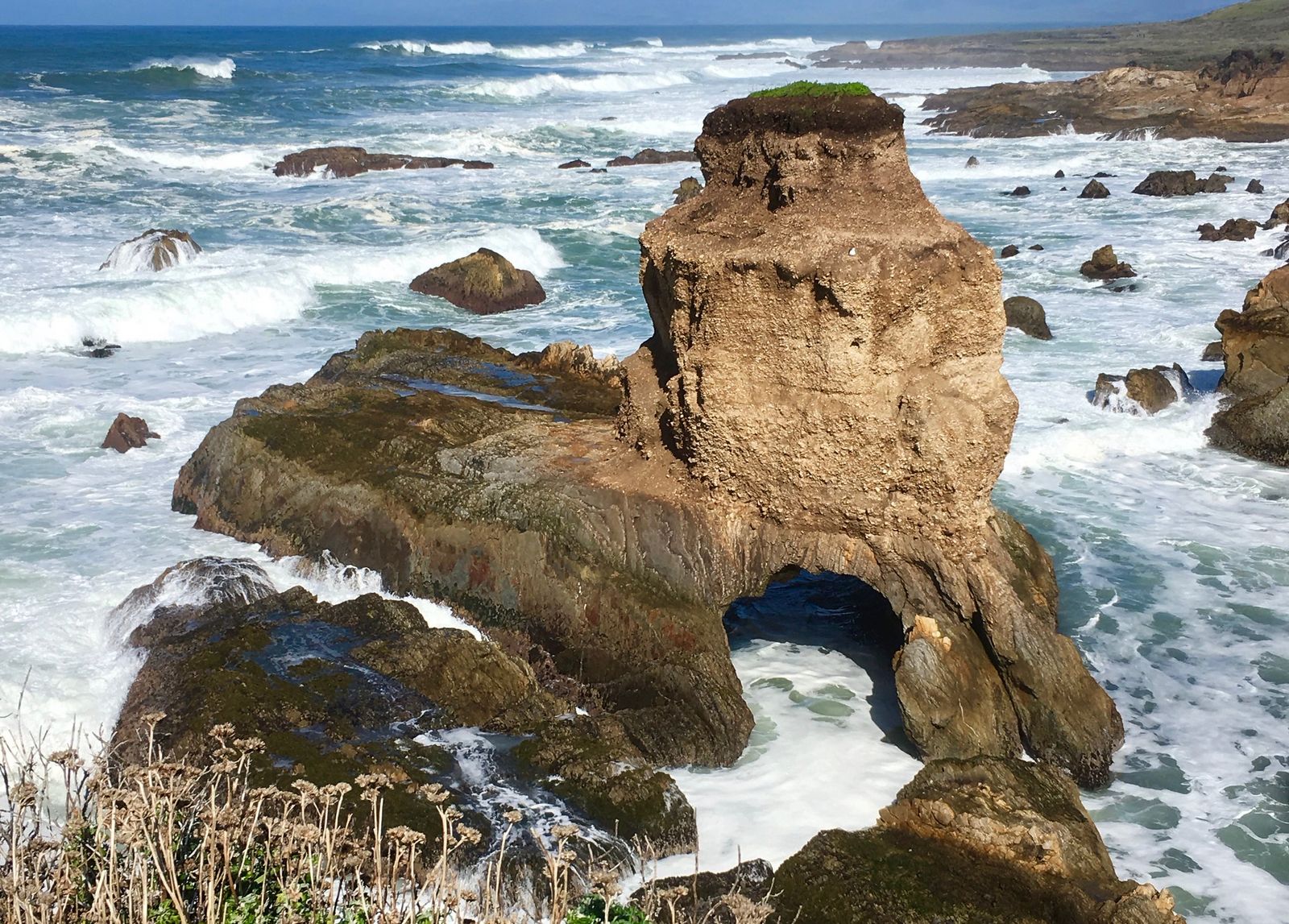
Valencia Peak Trail: Montana de Oro’s best summit and ocean view hike
A 4.2-mile round trip with about 1,300 ft of gain from the Pecho Valley Road trailhead near Los Osos, reaching a 1,347-ft summit with a genuine 360-degree view spanning the Pacific, the surrounding morros, and the Morro Bay estuary. Coastal scrub wildflowers peak March through April, adding real color to what’s already one of the best view-to-effort ratios on this entire list, and entry/parking is completely free.
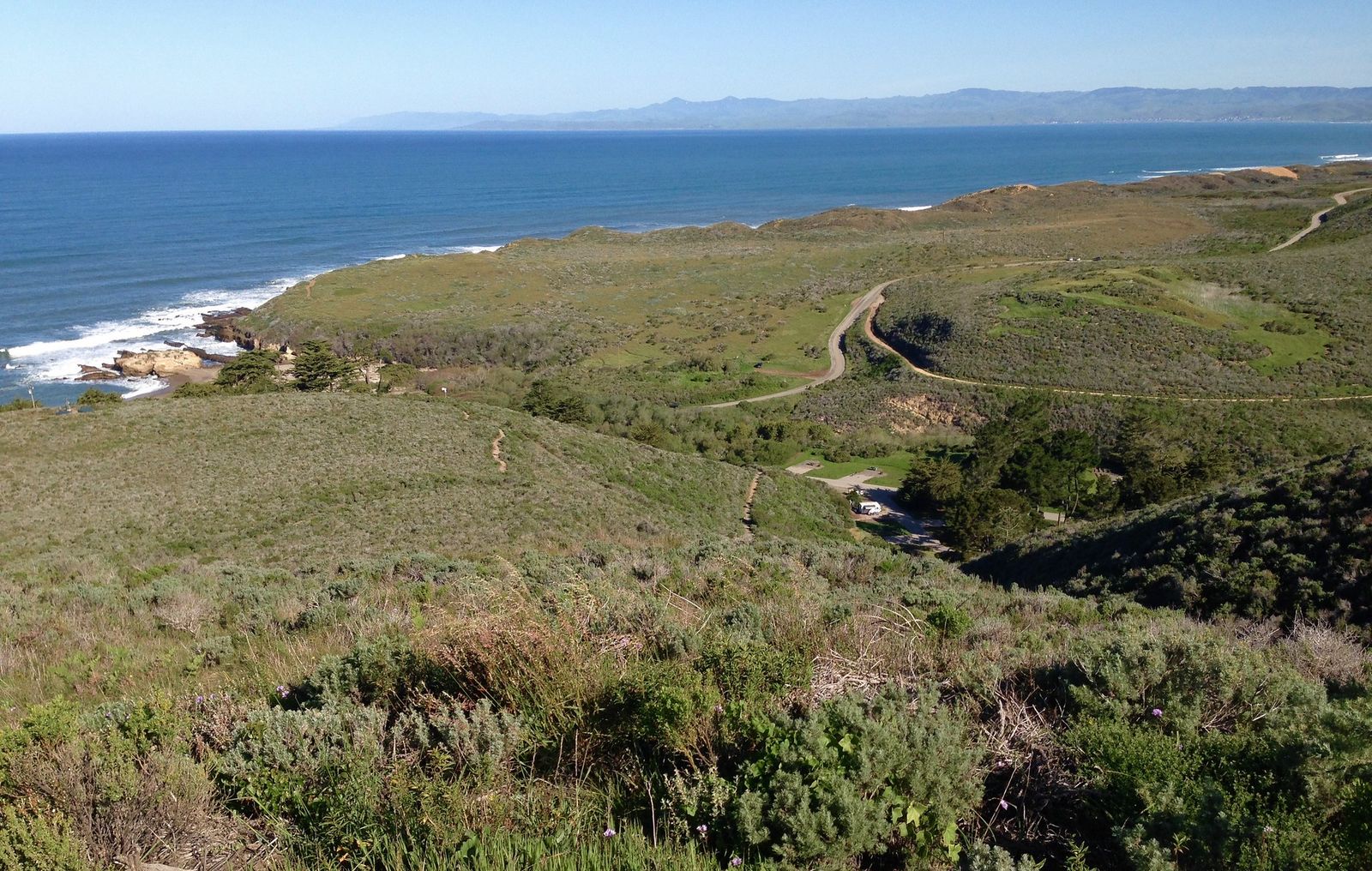
Bluff Trail at Montana de Oro: SLO County’s best easy coastal walk
A 3.4-mile round-trip trail (roughly 1.7 miles one-way) along dramatic Pacific cliffs, completely flat, passing sea caves and tide pools accessible at low tide; check a tide chart before you go if exploring the pools is part of the plan. Harbor seals and sea otters are frequently spotted in the coves below, and spring brings a genuine wildflower bloom along the bluff edge that rivals anything inland at the peak morros.
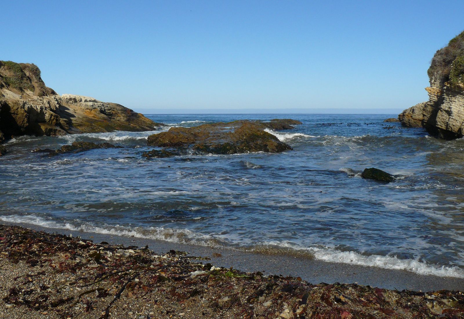
Start from Spooner’s Cove for the best access (parking and entry are free); this is one of the most accessible genuinely wild coastal walks anywhere on California’s Central Coast.
Best hiking trails near Morro Bay, SLO County
Black Hill Trail: Morro Bay’s best panoramic summit hike
A 0.6-mile round trip with about 190 ft of gain from the upper trailhead on Upper State Park Road (or ~3 miles round trip if starting near the golf course/marina), reaching a 661-ft summit with views over Morro Rock, the estuary, and the Pacific beyond, a genuinely underrated summit given how close it sits to town. The surrounding chaparral is still visibly recovering from past fire activity, offering an interesting look at post-fire regrowth for hikers who pay attention to that kind of detail, and the trail connects to the Morro Bay Museum of Natural History. Day-use parking at the trailhead is free.
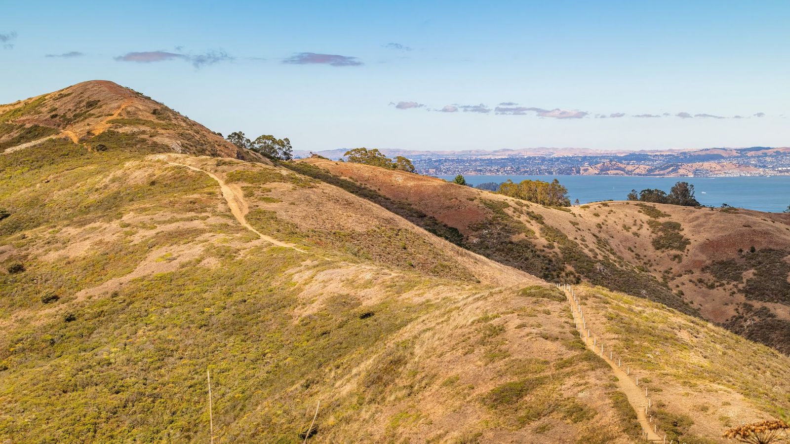
Morro Rock itself is a protected Chumash cultural site and peregrine falcon nesting habitat, closed to climbing since the 1960s; the base is accessible for viewing and photos, but hiking to the top is not permitted and hasn’t been for decades. It’s one of the most photographed landmarks on the Central Coast precisely because it’s viewed from below rather than climbed, and the closure is strictly enforced.
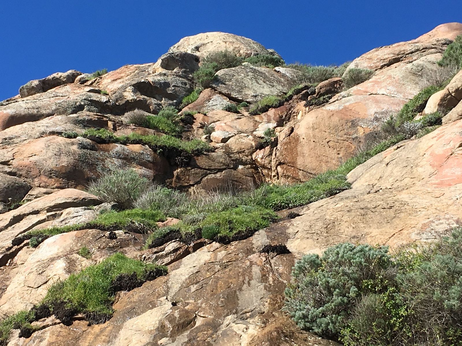
Best Los Padres National Forest hiking near SLO County
The Santa Lucia Range holds genuine backcountry beyond the coastal parks: Hi Mountain Lookout, the Pozo area, and Garcia Mountain all offer remote hiking well off the tourist path, with Soda Lake in the adjacent Carrizo Plain National Monument as a notable nearby addition for anyone extending a trip inland. The Carrizo Plain itself sits right along the edge of Kern County, and the two areas are often combined into a single inland day trip.
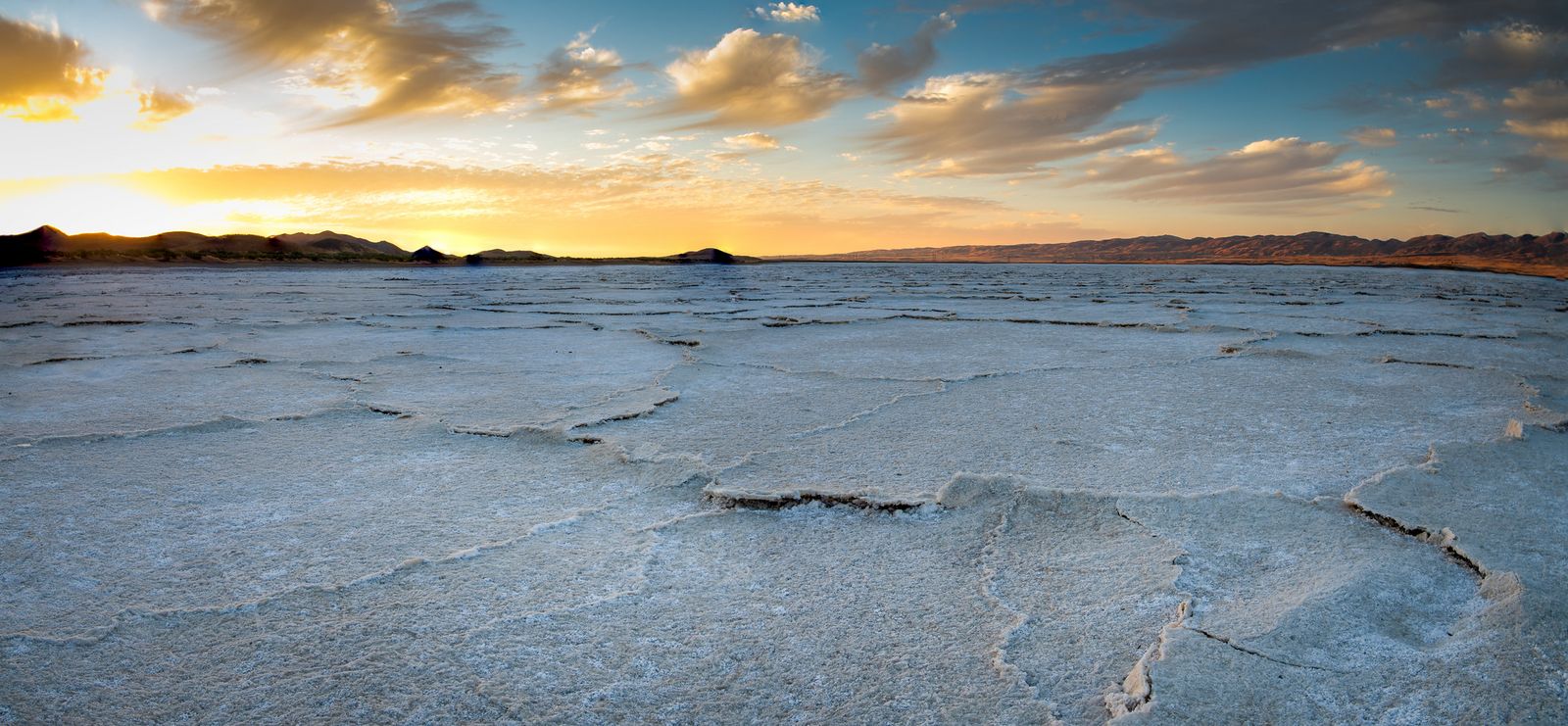
This is the zone most visitors skip entirely, which is exactly why it’s worth the extra drive if solitude matters more to you than convenience. The same Santa Lucia Range continues north into the hiking trails in Monterey County, home to the Ventana Wilderness and the Big Sur coast.
Most developed Los Padres trailheads in this area require an Adventure Pass, the same system used across Southern California’s national forests, worth having if you’re combining a coastal SLO trip with backcountry Los Padres hiking, since a single annual pass covers trailheads well beyond this county alone.
San Luis Obispo County rewards treating it as a real destination instead of a highway stop; volcanic summit hiking, genuinely wild coastline, and quiet Los Padres backcountry all sit within a short drive of each other, especially if you consider booking a site at the Morro Bay State Park camping area or exploring exploring Pismo Beach campgrounds to anchor your stay.
Respect Morro Rock’s closure and Bishop Peak’s real scrambling risk, and bring real sun protection for the largely unshaded coastal and Morro trails alike; the Central Coast’s marine layer can burn off fast into a genuinely hot, exposed afternoon even when the morning started cool and foggy.
Frequently asked questions about hiking trails in San Luis Obispo County
What are the best hiking trails in San Luis Obispo County?
Bishop Peak for the best summit hike near the city, Montana de Oro’s Bluff Trail for easy coastal scenery, and Valencia Peak for the best ocean-and-morro panorama in one hike. Between the three, most fitness levels and time budgets are covered without leaving the county’s most accessible zones.
How hard is the Bishop Peak hike in San Luis Obispo?
Genuinely strenuous for its short distance; around 3.3 to 4.2 miles round trip depending on the trailhead, with 900 to over 1,100 ft of gain and real scrambling near the true summit. Most hikers stop at the lower viewpoint rather than attempting the technical top section, and that’s a perfectly reasonable choice, not a lesser hike.
Is Montana de Oro State Park good for hiking?
Yes, with 50 miles of trail across 8,000 acres of undeveloped coastline, it’s one of the more underrated state parks on the Central Coast, offering everything from flat coastal walks to a genuine summit hike at Valencia Peak.
Can you hike to the top of Morro Rock in Morro Bay?
No; Morro Rock is a protected Chumash cultural site and peregrine falcon habitat, closed to climbing since the 1960s. The base is accessible for viewing, but the summit itself is off-limits and the closure is actively enforced.
What are the best coastal hiking trails near Morro Bay?
The Bluff Trail at Montana de Oro offers flat cliffside scenery, and Black Hill Trail in Morro Bay State Park offers the best panoramic view over Morro Rock and the estuary. Both pair well in a single day if you’re only visiting the area once.
Are there hiking trails near Paso Robles in SLO County?
Fewer dedicated hiking trails than the coastal and SLO-city zones, but the Santa Lucia Range and Los Padres backcountry inland from Paso Robles offer quieter options for hikers based in North County wine country, including access to Garcia Mountain and the Carrizo Plain area.