5 Best Coastal Hiking Trails Near Morro Bay, From a 23-Million-Year-Old Rock to Flat Bluff-Top Tide Pools
Morro Bay’s coastline packs volcanic geology, dramatic bluffs, and real wildlife viewing into a short stretch of Highway 1. Focusing on the best hiking trails near Morro Bay, this guide stays coastal and dune-adjacent; for the inland peaks and dune-lake trails elsewhere in the county, check out our broader San Luis Obispo County guide, San Luis Obispo County hiking guide.
Disclosure: Please note that some of the links below are affiliate links and at no additional cost to you, I may earn a commission. Know that I only recommend hiking gear I personally stand behind; when you use my affiliate links, it helps me run this blog and keep all of this content free of charge for readers (like you).
Key takeaways
- Best all-in-one view: Black Hill Trail, with Morro Rock, the bay estuary, and the town all in a single summit frame.
- Easiest and most photogenic: Bluff Trail, which is flat, ADA-accessible, and offers real tide pools and sea cliffs.
- Best quiet wildlife stop: Sweet Springs Nature Preserve, a boardwalk through eucalyptus leading to the estuary’s quieter shore.
- Best summit view of the coast: Valencia Peak, the highest point in Montaña de Oro State Park.
- Most iconic single landmark: Morro Rock, a 23-million-year-old volcanic plug you can walk around but not climb.
- Four of these five trails are free; only Sweet Springs (donation-based, privately managed) works differently.
How these five Morro Bay coastal trails compare
| Trail | Distance | Difficulty | Fee | Best for |
|---|---|---|---|---|
| Black Hill Trail | 0.6-4.1 mi (route-dependent) | Easy-moderate | Free | All-in-one summit view |
| Bluff Trail (Montaña de Oro) | ~3-3.9 mi round trip | Easy, ADA-accessible | Free | Tide pools, sea cliffs |
| Sweet Springs Nature Preserve | ~0.66-1 mi | Very easy, ADA-accessible | Free (donation-based) | Quiet birdwatching |
| Valencia Peak Trail | ~4.5 mi round trip | Moderate-strenuous | Free | Highest coastal summit view |
| Morro Rock (walking loop) | Short paved/beach walk | Very easy | Free | Iconic landmark, falcons |
Black Hill Trail (Morro Bay State Park)
Trailhead access and parking at Morro Bay State Park
Free parking is available at a small lot above the Morro Bay Golf Course, the most central, town-adjacent trailhead in this guide which also places you right next to the local Morro Bay State Park camping facilities if you are planning an overnight trip.
Distance depends heavily on route: a short 0.6-mile out-and-back reaches the 661-foot summit directly, while longer loops through the park’s Exercise, Grove, and Pipeline trails stretch to 4.1 miles.
What you’ll see: a summit view over Morro Rock and the bay estuary
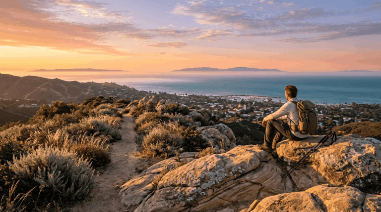
From the top, you get a genuine 360-degree view of the area, with Morro Rock and the Pacific to the west, the bay’s tidal estuary channels to the south, and the Santa Lucia foothills inland. Black Hill is the second-to-last of the Nine Sisters volcanic peaks covered in our San Luis Obispo County guide, with only Morro Rock itself, later in this guide, coming after it in the chain.
Best time to hike Black Hill: clear mornings before coastal fog rolls in
Central Coast marine layer typically burns off by mid-morning and can return by afternoon. An early start gives you the best odds of a clear summit view in both directions.
Bluff Trail (Montaña de Oro State Park)
Trailhead access and parking at Montaña de Oro State Park (free)
Free parking is available near Spooner’s Cove and the visitor center, about 20 minutes south of Morro Bay via Los Osos Valley and Pecho Valley roads (for complete trail maps, closures, and logistics, see our comprehensive Montaña de Oro guide). Dogs aren’t permitted on any trail in this park, including this one.
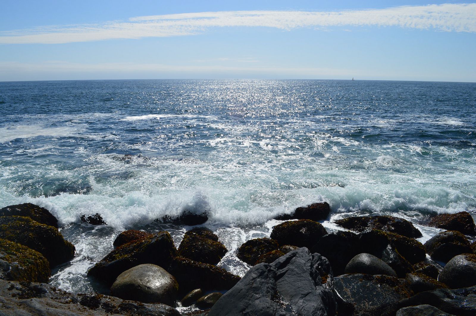
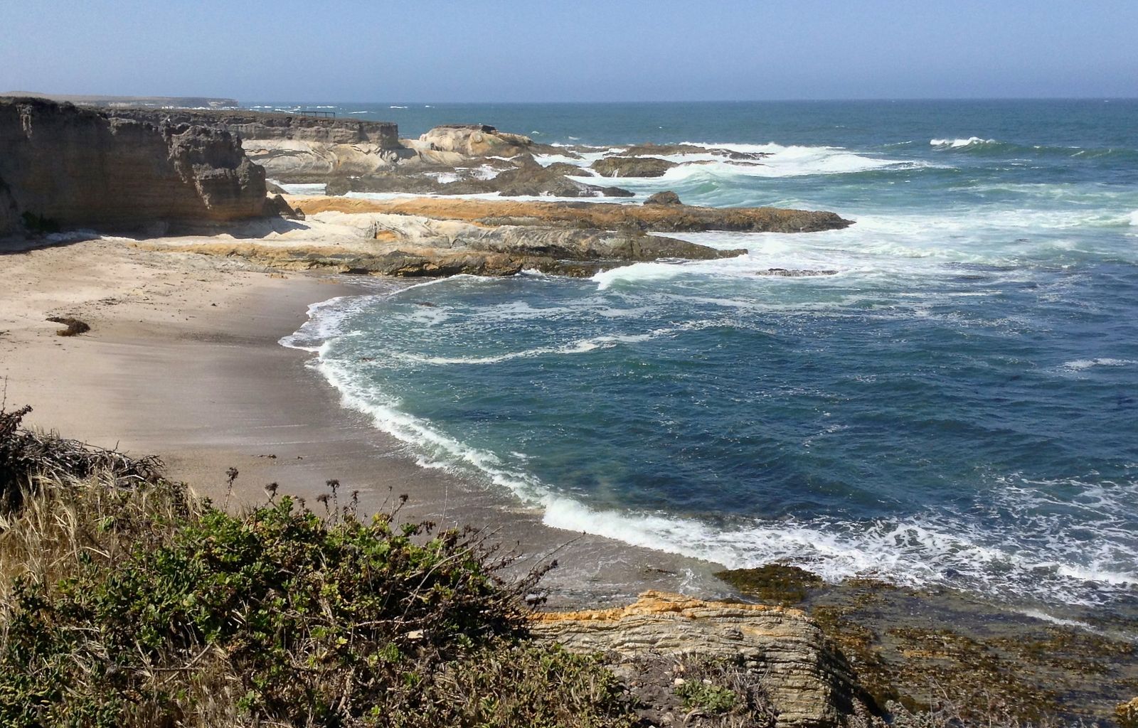
What you’ll see: dramatic sea cliffs and tide pools along an easy bluff walk
This roughly 3-to-3.9-mile round trip stays flat and was recently upgraded to full ADA accessibility, passing sea cliffs, blowholes, natural bridges, and genuinely accessible tide pools. It offers the most dramatic coastal geology in this entire guide paired with its easiest walking grade.
Best time to hike the Bluff Trail: low tide for tide pool access
Tide pools here are only fully explorable at low tide; check a tide chart before you go, since high tide can submerge the best pools entirely.
Sweet Springs Nature Preserve
Trailhead access and parking at Sweet Springs Nature Preserve, Los Osos
Free parking sits at 660 Ramona Avenue in the Baywood Park neighborhood of Los Osos, on the bay’s quieter southern shore.
One detail worth knowing: this preserve is privately owned and managed by the Morro Coast Audubon Society, not a state or city park, and runs on visitor donations rather than a government fee structure. Leashed dogs aren’t permitted here.
What you’ll see: a boardwalk through eucalyptus groves to the Morro Bay estuary
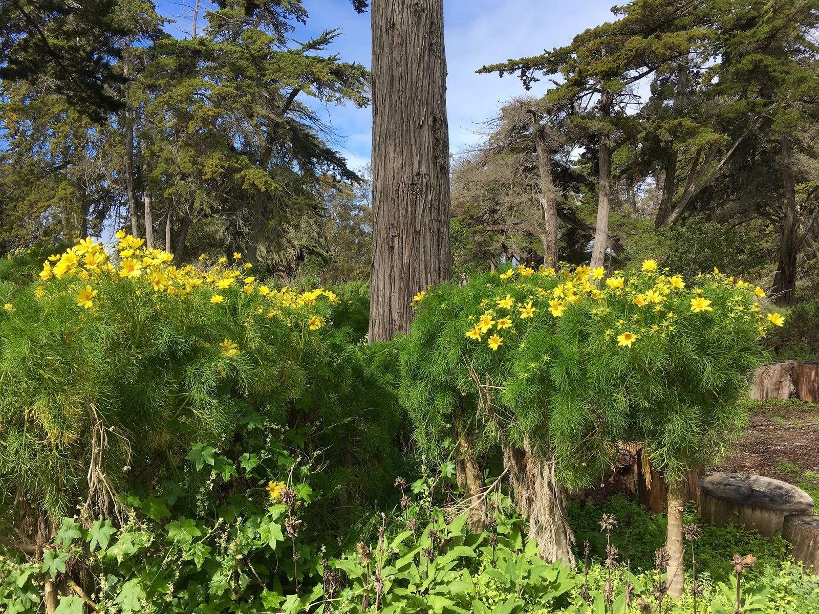
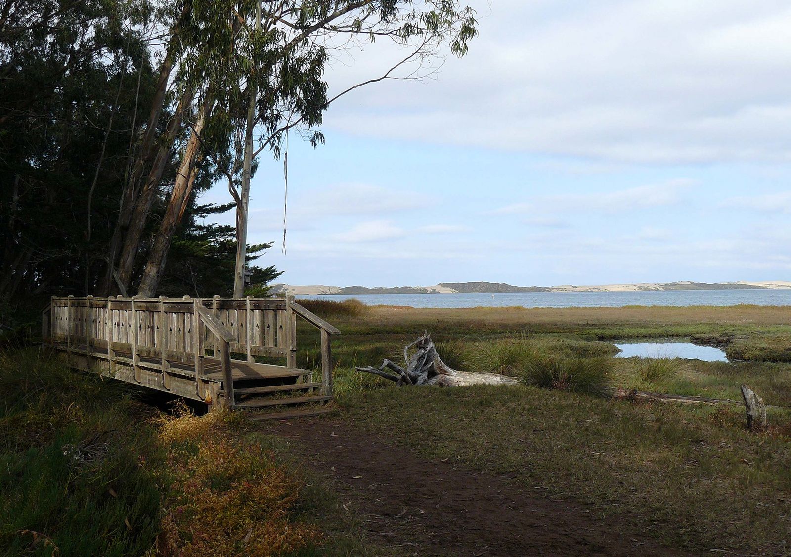
A flat, ADA-accessible boardwalk (about 0.66 to 1 mile total) winds beneath tall eucalyptus and cypress to a viewing platform over the estuary’s mudflats, with Morro Rock visible in the distance. It is a shaded, sheltered habitat that is a real contrast to the exposed bluffs and cliffs elsewhere in this guide. The eucalyptus grove also hosts wintering monarch butterflies.
Best time to hike Sweet Springs: fall and winter for migratory bird viewing
Fall and winter bring the strongest migratory bird activity along the estuary’s mudflats and marsh, making it genuinely one of the better birdwatching stops in the county during these months.
Valencia Peak Trail (Montaña de Oro State Park)
Trailhead access and parking at the Spooner’s Cove area, Montaña de Oro
This trail shares its trailhead area with the Bluff Trail but climbs inland instead of following the coastline. Parking is free, with no fee or permit required, though dogs aren’t allowed here either.
What you’ll see: the highest summit view over the Morro Bay coastline
At about 1,347 feet, Valencia Peak is one of the highest points in Montaña de Oro State Park, reached via a 4.5-mile round trip with roughly 1,275 feet of elevation gain. It offers a genuinely different, higher-elevation perspective on the same coastline the Bluff Trail sees from sea level. On clear days, views stretch to Cayucos and Cambria.
Best time to hike Valencia Peak: spring for wildflowers on the open slopes
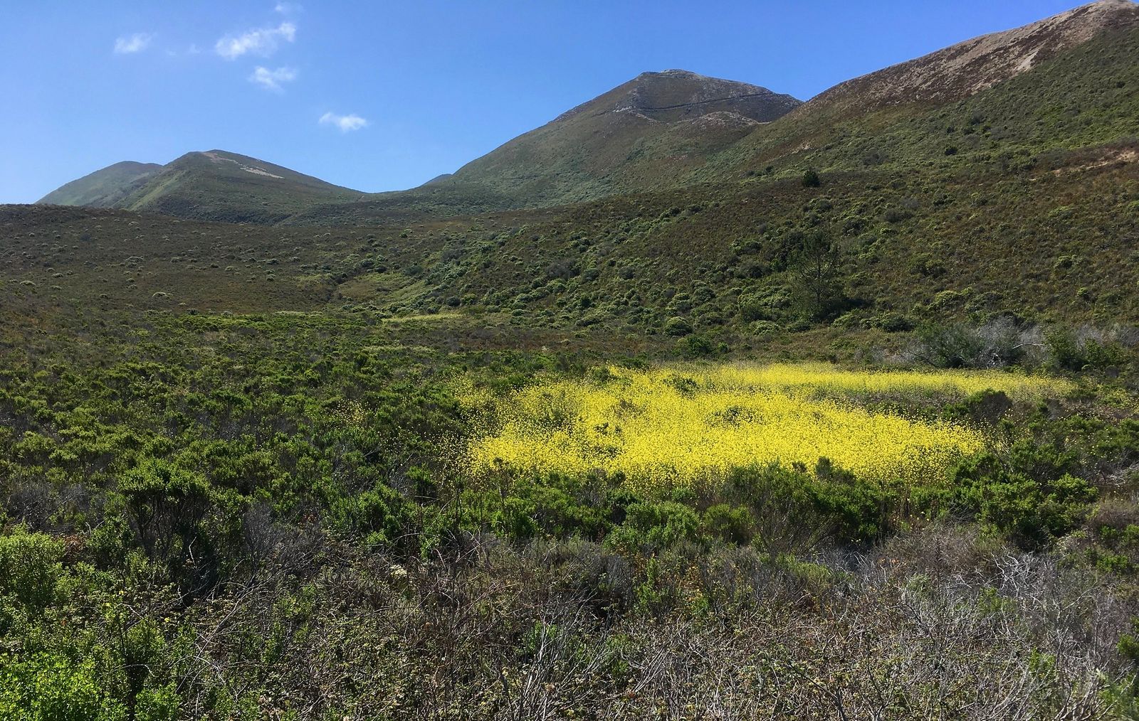
Spring brings real wildflower color to this trail’s exposed slopes. Shade is minimal here in any season, so bring sun protection regardless of when you go.
Morro Rock Beach Trail
Trailhead access and parking at Morro Rock, Morro Bay
A free beachfront lot sits directly beneath Morro Bay’s namesake landmark, reached via Coleman Drive. It is the single most iconic, easy-to-find stop in this entire guide.
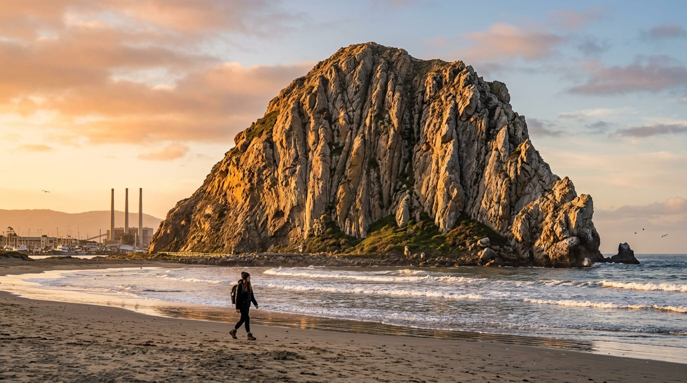
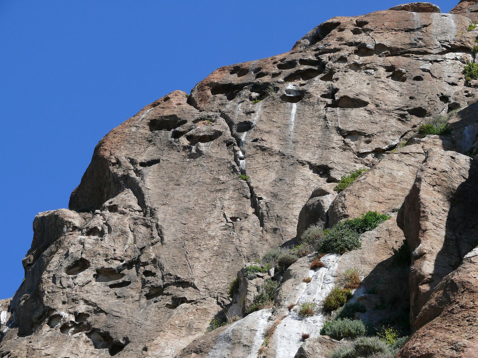
What you’ll see: a 23-million-year-old volcanic plug rising from the beach
Morro Rock formed roughly 23 million years ago as a volcanic plug and is the last, northernmost peak in the Nine Sisters chain. Climbing is prohibited by law for the general public to protect both its physical fragility and its nesting peregrine falcons. One documented exception dates to 1966, when the state granted the Salinan Tribe permission to climb it twice yearly for solstice ceremonies, a permission the Chumash Tribe, who also consider the rock sacred, has publicly disputed as a matter of ancestral territory.
The exact current status of tribal climbing access is a genuinely contested question between the two tribes rather than a settled one, so treat this as a documented history rather than the final word. Everyone else experiences the rock by walking its base and the adjacent beach.
Best time to hike Morro Rock Beach Trail: winter for peregrine falcon nesting season
Peregrine falcons are most active around the rock in winter and spring nesting season. Bring binoculars for a real chance at seeing one of the fastest animals on Earth in flight.
Frequently asked questions about coastal hiking trails near Morro Bay
Is there a fee at Montaña de Oro State Park?
No, the park is free to enter, including both the Bluff Trail and Valencia Peak Trail, though parking is first-come, first-served.
Is Black Hill Trail hard?
It depends entirely on route: the short 0.6-mile direct summit trail is easy, while longer loop combinations through the park stretch to 4.1 miles with real elevation gain.
Is Sweet Springs Nature Preserve free?
It’s free to visit, though the preserve is privately managed by the Morro Coast Audubon Society and relies on visitor donations rather than being a government-funded park.
How tall is Valencia Peak?
About 1,347 feet, making it one of the highest points in Montaña de Oro State Park and the highest-elevation viewpoint in this entire guide.
Can you climb Morro Rock?
Not if you’re a member of the general public, as it’s illegal due to the rock’s fragility and its status as a protected peregrine falcon nesting site. The state granted the Salinan Tribe a specific exception in 1966 to climb it twice a year for solstice ceremonies, though this remains a disputed matter between the Salinan and Chumash tribes rather than a fully settled one.
Is Morro Bay foggy in summer?
Often, yes. Central Coast marine layer is a genuine summer pattern here, typically clearing by mid-to-late morning before sometimes returning in the afternoon.