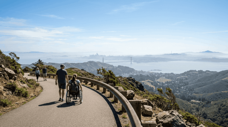
5 Best Hiking Trails in the Santa Clara Foothills, From a Cold War Radar Tower to a Redwood Canyon of Waterfalls
Hiking Trails in Santa Clara Foothills is ringed by two genuinely different mountain ranges, and this guide spans both, the redwood-shaded Santa Cruz Mountains to the west and the drier, oak-savanna Diablo Range to the east. It’s a different kind of trip than the valley-floor parks in our San Jose and South Bay guide, part of our full Santa Clara County hiking guide.
Disclosure: Please note that some of the links below are affiliate links and at no additional cost to you, I may earn a commission. Know that I only recommend hiking gear I personally stand behind; when you use my affiliate links, it helps me run this blog and keep all of this content free of charge for readers (like you).
Key takeaways
- Best shaded summer option: Sanborn County Park, second-growth redwood and oak forest a few miles from downtown Saratoga.
- Most distinctive landmark: Mount Umunhum, a decommissioned Cold War radar tower visible across much of the South Bay.
- Best spring wildflowers: Joseph D. Grant County Park, rolling Diablo Range ranchland below Mount Hamilton.
- Quietest option: El Sereno Open Space Preserve, a ridge overlook with a fraction of Mount Umunhum’s crowds.
- Only waterfall hike in this guide: Uvas Canyon County Park, a chain of seasonal cascades through a redwood canyon.
- The two mountain sides run on different clocks: the Santa Cruz Mountains side stays shaded and cool most of the year, while the Diablo Range side (Grant Park) gets genuinely hot and exposed by summer.
How these five foothills trails compare
| Trail | Distance | Difficulty | Fee | Best for |
|---|---|---|---|---|
| Sanborn County Park (Sanborn Trail) | ~3.7 mi (loop options vary) | Moderate | ~$6 vehicle fee | Shaded redwood summer hike |
| Mount Umunhum Trail | Short walk from summit lot, or 7.4 mi round trip from Bald Mountain | Easy-strenuous (route-dependent) | Free | Cold War history, views |
| Joseph D. Grant (Hotel Trail) | ~1.5-8 mi (adjustable) | Easy-moderate | Vehicle entry fee | Spring wildflowers, ranchland |
| El Sereno Open Space Preserve | Short ridge loop | Easy-moderate | Free | Quiet, uncrowded overlook |
| Uvas Canyon (Waterfall Loop) | ~1 mi loop | Easy | ~$6 vehicle fee | Seasonal waterfalls |
Sanborn County Park: Sanborn Trail
Trailhead access and parking at Sanborn County Park, Saratoga
The main entrance sits about 3 miles west of downtown Saratoga on Sanborn Road, with a vehicle entry fee (around $6) collected year-round. The park is open 8 a.m. to sunset, with more than 20 miles of interconnected trails across 3,400-plus acres.
What you’ll see: redwood and oak forest at the edge of the Santa Cruz Mountains
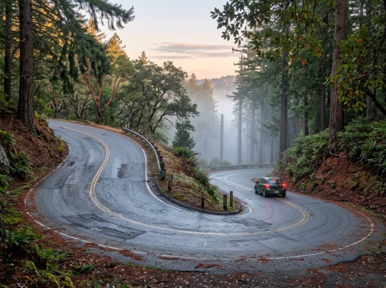
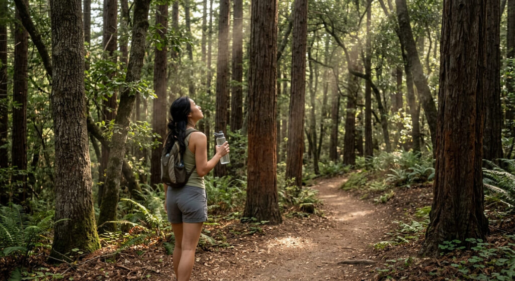
Second-growth redwoods and tanbark oaks cover most of the park, with shorter loops near the lower entrance staying easy and shaded, while routes climbing toward Skyline Boulevard (like the roughly 3.7-mile San Andreas-to-Sanborn loop) get genuinely steep. Newts are a common winter sighting in the creeks and ponds.
Best time to hike Sanborn Trail: shaded relief in summer
Consistent canopy cover makes this one of the more comfortable South Bay-adjacent hikes once summer heat sets in, a real contrast to the exposed Diablo Range trails on the other side of this guide.
Mount Umunhum Trail (Sierra Azul Open Space Preserve)
Trailhead access and parking at the Mount Umunhum Trailhead
This free Midpeninsula Regional Open Space District preserve has two access options worth knowing about: most visitors drive nearly to the 3,486-foot summit and walk a short final stretch from the summit parking lot, while hikers wanting the full trail experience can start lower at the Bald Mountain parking area for a 7.4-mile round trip. Dogs aren’t permitted here, unlike most other trails in this guide.
What you’ll see: a decommissioned Cold War-era radar station
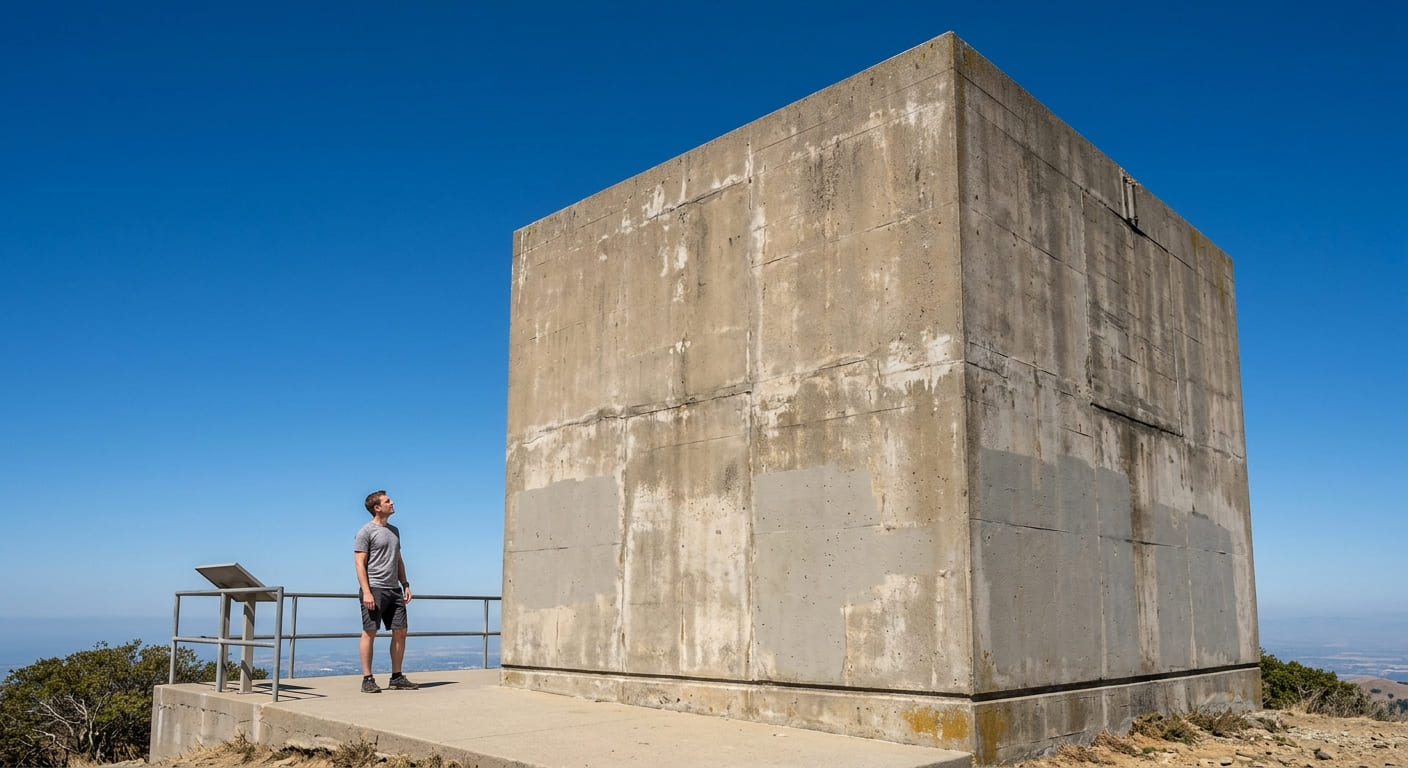
The concrete tower, locally nicknamed “The Cube”, once supported a rotating radar sail for the Almaden Air Force Station (1957-1980), tracking Soviet threats during the Cold War.
The tower’s interior remains sealed and isn’t open to the public, but the summit area around it, opened in 2017 after a decade-long cleanup, includes interpretive panels and a viewing platform. The mountain is also sacred to the Amah Mutsun people, whose creation story centers on this summit.
Best time to hike Mount Umunhum: clear days for Bay-wide views
The summit’s panoramic Bay Area views depend entirely on the day’s air quality, South Bay haze and marine layer can erase the view even when the trail itself is perfectly clear.
Joseph D. Grant County Park: Hotel Trail
Trailhead access and parking at Joseph D. Grant County Park
The park sits about 8 miles up Mount Hamilton Road from Alum Rock Avenue in San Jose, just minutes away from the valley floor and Penitencia Creek Park green space, with a vehicle entry fee collected year-round. At nearly 11,000 acres with 51 miles of trails, this is the largest park in this guide by a wide margin; the short Hotel Trail loop near the historic ranch house runs about 1.5 to 2 miles, with combined routes extending past 7 miles for hikers wanting more.
What you’ll see: rolling Diablo Range ranchland below Mount Hamilton
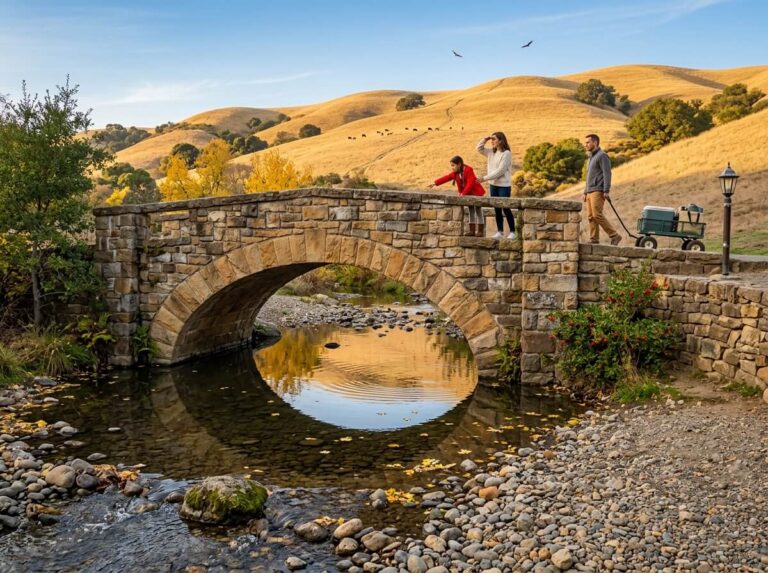
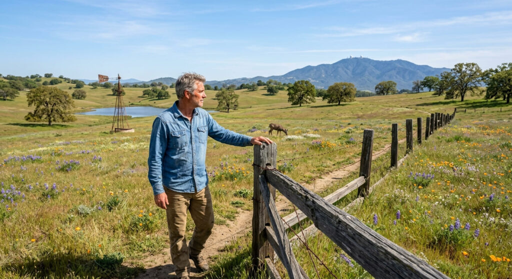
Open oak-savanna hills, old ranching-era fences and windmills, and Grant Lake give this park a genuinely different character than the redwood-forested Santa Cruz Mountains side of this guide, wildlife sightings here regularly include deer, coyote, and even the occasional bald eagle.
Best time to hike the Hotel Trail: spring for wildflowers on the open range
Spring brings real wildflower color across the open ranchland, before the Diablo Range’s summer sun turns these hills dry and gold, Shade is scarce here, so a summer visit is a genuinely different (and hotter) experience than spring.
El Sereno Open Space Preserve: Overlook Trail
Trailhead access and parking at El Sereno Open Space Preserve, Los Gatos
A small, free Midpeninsula Regional Open Space District trailhead sits above Los Gatos, one of the least-visited access points in this entire guide, named for Mount El Sereno on the same Santa Cruz Mountains ridgeline.
What you’ll see: a quiet ridge overlook above the South Bay
The overlook delivers real South Bay views with a fraction of the foot traffic found at the much larger, more famous Sierra Azul Open Space Preserve nearby, genuinely one of the more solitary hiking experiences this close to San Jose.

Best time to hike El Sereno: a less-crowded alternative to Sierra Azul
If Mount Umunhum’s trailhead is packed on a weekend morning, this is the trade worth knowing about, comparable ridge scenery, a much shorter drive-in crowd, and a genuinely quieter trail almost any day of the week.
Uvas Canyon County Park: Waterfall Loop Trail
Trailhead access and parking at Uvas Canyon County Park, Morgan Hill
The park sits in the county’s southern foothills near Morgan Hill, with a vehicle entry fee similar to Sanborn and Grant Park. It’s the southernmost trailhead in this guide and the only true waterfall hike in this batch.
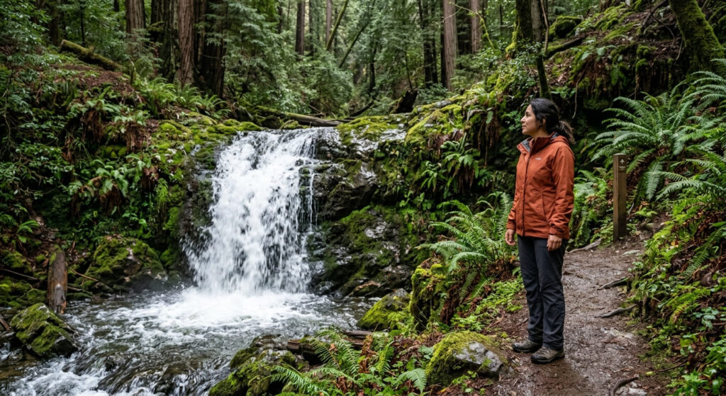
What you’ll see: a chain of seasonal waterfalls in a redwood canyon
The signed Waterfall Loop runs about a mile along Swanson Creek, passing several small cascades through a shaded redwood canyon, short enough to combine easily with the park’s broader 7-mile trail network if you want more distance.
Best time to hike Uvas Canyon: winter and spring for peak waterfall flow
Like every seasonal waterfall covered on this site, flow here is rain-dependent, expect the strongest cascades December through April, and a much quieter trickle (or none at all) by late summer in a dry year.
Frequently asked questions about hiking trails in the Santa Clara foothills
Is Mount Umunhum open to the public?
Yes, the summit area opened to the public in 2017 after a decade-long cleanup of the former Air Force station. The radar tower itself remains sealed and isn’t open for interior access.
What is the history of the Mount Umunhum radar station?
It was part of the Almaden Air Force Station, operating from 1957 to 1980 as a Cold War-era radar site tracking potential threats across the Pacific. The concrete tower is the last major structure remaining after the site’s military buildings were removed.
Is there a fee at Joseph D. Grant County Park?
Yes, a vehicle entry fee is collected year-round, the same fee structure used at Sanborn and Uvas Canyon county parks.
Is Uvas Canyon good after rain?
Yes, genuinely the best time to go, the waterfalls along Swanson Creek run strongest in the days and weeks following winter and spring storms.
Is Sanborn County Park shaded?
Mostly, yes, consistent redwood and oak canopy makes it one of the more comfortable South Bay-area hkes in summer heat, though some higher routes toward Skyline Boulevard get more exposed.
Which Santa Clara foothills trail has the best views?
Mount Umunhum, without much competition, its 3,486-foot summit delivers genuine Bay-wide panoramas on clear days that no other trail in this guide can match.