Best Hiking Trails in Santa Clara County, California
Silicon Valley doesn’t look like a hiking destination from the freeway, but Hiking Trails in Santa Clara holds over 200 miles of trail within 30 minutes of downtown San Jose, the Santa Cruz Mountains to the west, the Diablo Range to the east, and 26 county parks and open space preserves managing all of it. Most visitors, and plenty of longtime residents, genuinely underestimate how much trail depth is packed into the same county as the tech industry’s headquarters. It’s a county where a lunch-break hike and a genuine wilderness backpacking trip are both realistic options on the same weekend.
Disclosure: Please note that some of the links below are affiliate links and at no additional cost to you, I may earn a commission. Know that I only recommend hiking gear I personally stand behind; when you use my affiliate links, it helps me run this blog and keep all of this content free of charge for readers (like you).
Key takeaways
- Santa Clara County spans four hiking zones: the Santa Cruz Mountains, the Sierra Azul/Mount Umunhum area, the Diablo Range around Henry W. Coe State Park, and the flatter Baylands and Guadalupe River trails.
- Mount Umunhum is the county’s highest accessible summit hike at 3,486 ft, topped by a decommissioned Air Force radar tower known locally as “the Cube”, viewable from outside only, and dogs aren’t permitted anywhere on the trail or summit.
- Henry W. Coe State Park is the largest state park in Northern California at roughly 87,000 acres, genuine backcountry less than 20 miles from downtown San Jose.
- Alum Rock Park, established in 1872, is California’s oldest municipal park; its 27 mineral springs have run dry since a 1930s earthquake, but the creek canyon and trail network remain a strong urban hike.
- Sanborn County Park’s Todd Creek Redwood Loop is a genuine old-growth grove that sees a fraction of the crowds at Santa Cruz County’s better-known redwood parks.
Related
- Penitencia Creek & Alum Rock Hiking Guide
- 5 Best Hiking Trails in San Jose and the South Bay, Santa Clara County
- 5 Best Hiking Trails in the Santa Clara Foothills
Why Santa Clara County surprises hikers with its trail depth
The Silicon Valley reputation obscures a genuinely serious trail network, 200-plus miles across county parks, open space preserves, and one of the largest state parks in Northern California, all reachable without leaving the county for a day trip.
Santa Clara County’s four hiking zones
The Santa Cruz Mountains hold the western edge of the county, including the border with Castle Rock State Park, Sanborn County Park, and Lexington Reservoir, cooler, shadier terrain thanks to coastal fog influence spilling over the ridge.
Sierra Azul and Mount Umunhum, the former Quicksilver mining district, contain the county’s highest point and its most distinctive summit landmark. The Diablo Range to the east holds Henry W. Coe State Park, the largest state park in Northern California by a wide margin, and a genuinely different, hotter, drier landscape than the coastal side of the valley.
The Baylands and Guadalupe River trails round things out with flat, urban nature walks that offer an entirely different hiking pace than the mountains on either side of the valley, a good option on a day when elevation gain isn’t the point.
Best hiking trails near San Jose, Santa Clara County
San Jose’s city-adjacent trails cover an unusual range for a single metro area: a historic mining district, the state’s oldest municipal park, and the county’s highest summit, all within a short drive of downtown.
Mount Umunhum Trail: Santa Clara County’s best summit hike
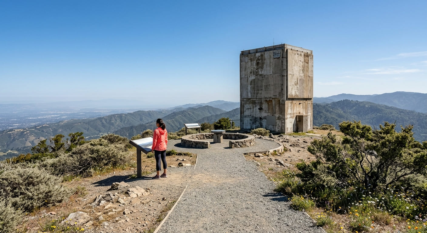
From the Bald Mountain parking area in the Sierra Azul Open Space Preserve, the Mount Umunhum Trail runs roughly 7.4 to 7.7 miles round trip with about 1,150 ft of gain .to the 3,486-ft summit, the highest accessible hiking peak in Santa Clara County.
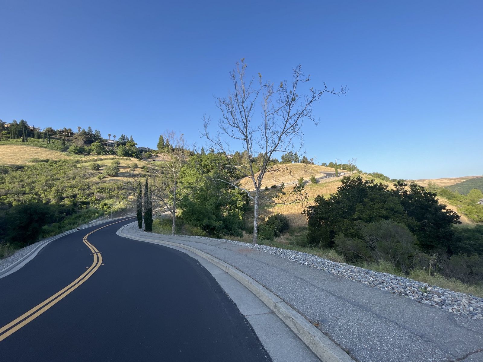
The payoff at the top is “the Cube,” a decommissioned Cold War-era Air Force radar tower that’s viewable from outside only; it’s not open for interior access, though a ceremonial circle and interpretive displays around it are. The 360-degree view genuinely spans from the South Bay to Monterey Bay on a clear day. It’s free with no permit needed, but dogs aren’t allowed anywhere on the trail, in the parking lots, or at the summit.
Almaden Quicksilver County Park: San Jose’s best historic trail network
At 3,977 acres with 36 miles of trail, Almaden Quicksilver preserves the site of New Almaden, the first quicksilver (mercury) mine in North America and once the most productive mercury mine on the continent, supplying the material used in California’s Gold Rush-era gold extraction process.
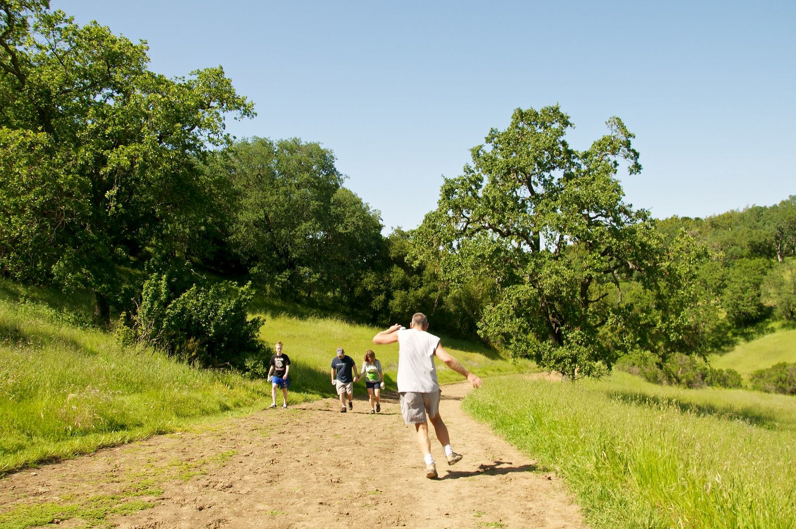
The Mine Hill Trail, a 10.6-mile loop, is the most popular route and passes historic mining structures, old furnace foundations, and mining equipment on its way to sweeping Silicon Valley views. Entry is free, and the park is open year-round, making it one of the easier “just go” options on this list, though the exposed sections can run hot in summer given the relatively low elevation and lack of consistent tree cover.
Alum Rock Park: San Jose’s best creek canyon urban hike
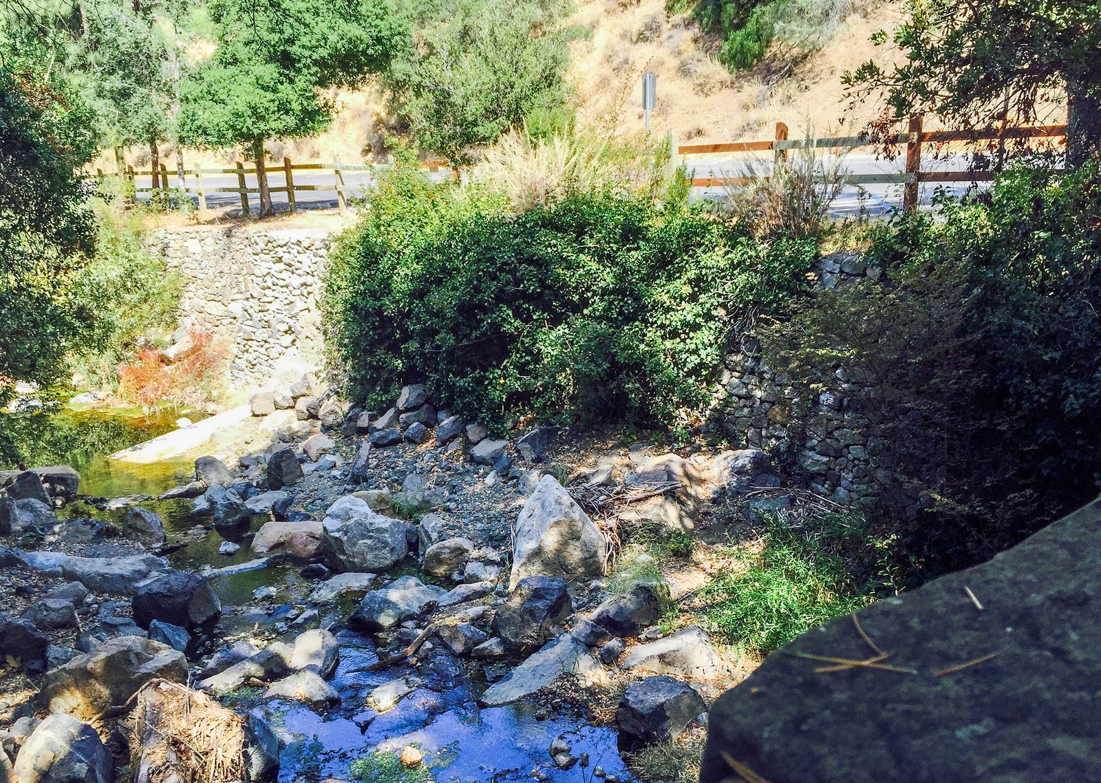
Established in 1872, Alum Rock Park is California’s oldest municipal park, with 13 miles of trail following Penitencia Creek through a canyon in the Diablo Range foothills. The park once drew visitors specifically for its 27 mineral springs, though they’ve run dry since a 1930s earthquake disrupted the underground water sources feeding them. A $6 parking fee covers the visit, with no reservation needed, and the on-site Youth Science Institute adds an easy add-on stop for families.
Best hiking trails in Henry W. Coe State Park, Santa Clara County
Henry W. Coe State Park is the county’s biggest surprise for anyone expecting Silicon Valley to run out of wilderness at the edge of the suburbs.
Corral Trail and Hobbs Road Loop: Henry Coe’s best day hike
At roughly 87,000 acres, Henry W. Coe is the largest state park in Northern California and the second-largest in the entire state after Anza-Borrego, genuine backcountry less than 20 miles from downtown San Jose, with more than 250 miles of trail and old ranch road crisscrossing the Diablo Range.
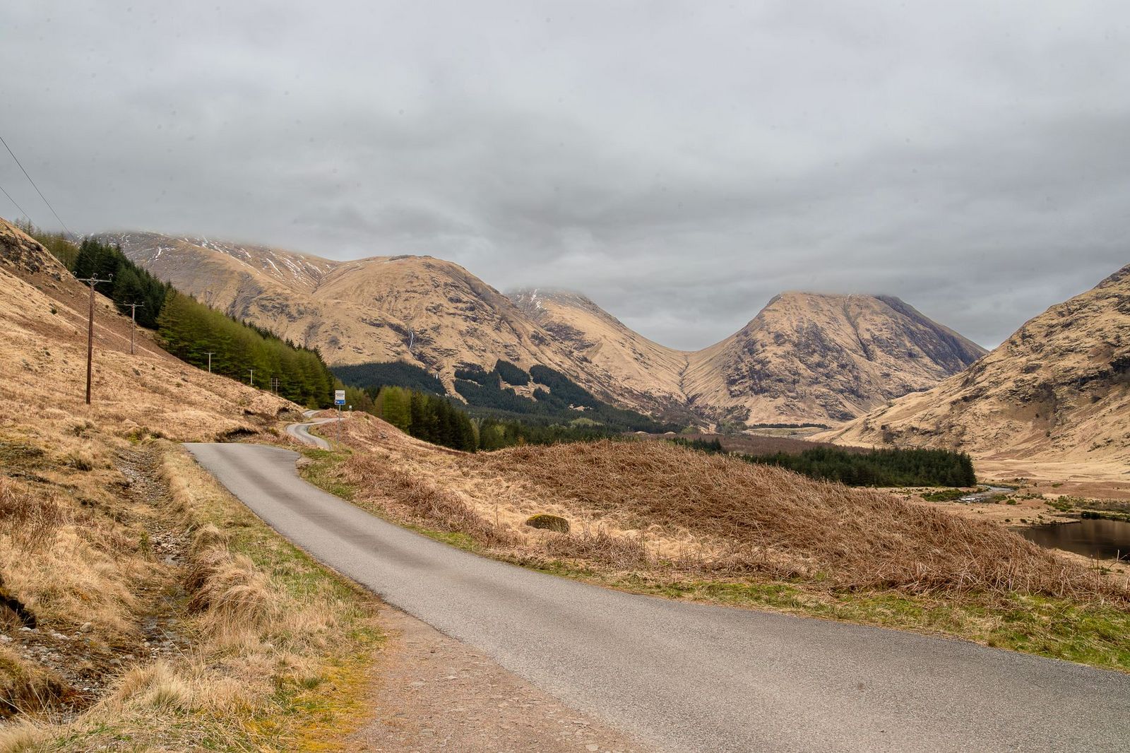
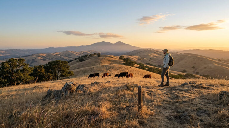
The Corral Trail and Hobbs Road Loop, about 7 miles from park headquarters with 1,200 ft of gain, covers sweeping oak savanna where deer and wild pig sightings are common, and rarely feels crowded even on a busy weekend given the sheer size of the park. March through May brings the park’s best wildflower display, timed to a wet winter, with California poppies, lupine, and gold fields covering entire hillsides.
Summers here run hot enough, regularly above 90°F, that spring and fall are the more comfortable seasons for serious mileage; $6 covers day use at the Gilroy-area entrance off East Dunne Avenue, where you’ll also register at the park headquarters before setting out on anything beyond a short loop.
Best hiking trails in Sanborn County Park, Santa Clara County
Sanborn County Park, tucked into the Saratoga foothills, connects directly into the broader Santa Cruz Mountains trail network while holding its own quiet redwood grove.
Todd Creek Redwood Loop: Santa Clara County’s best easy redwood walk
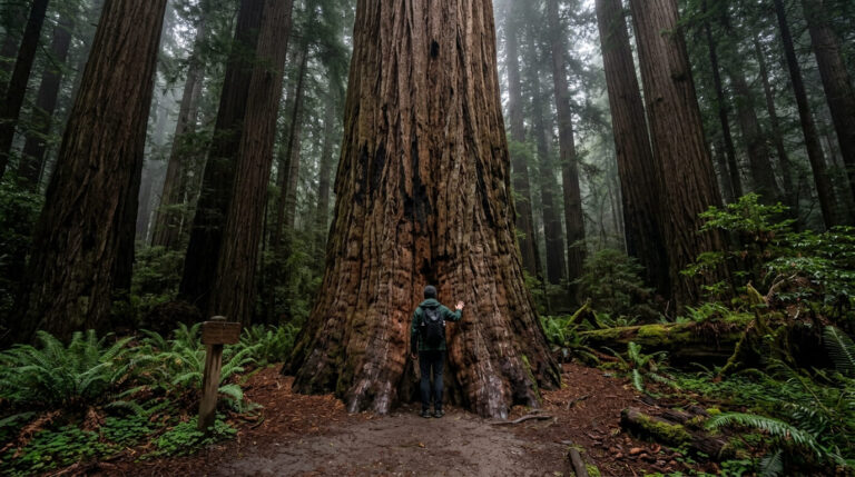
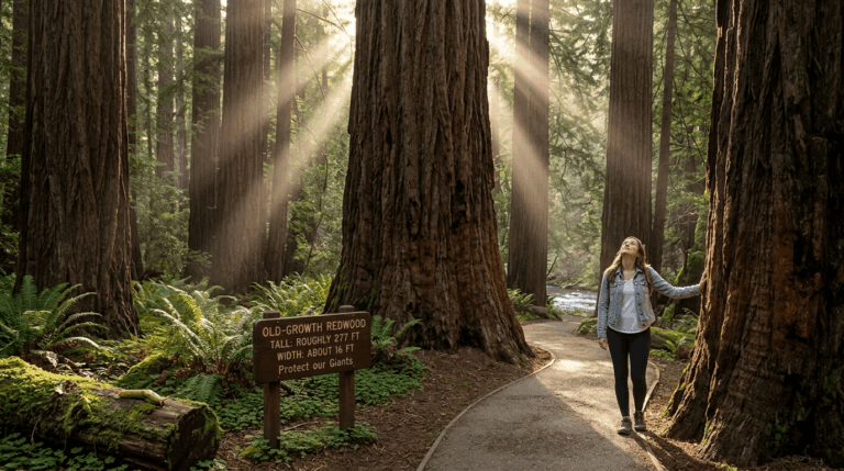
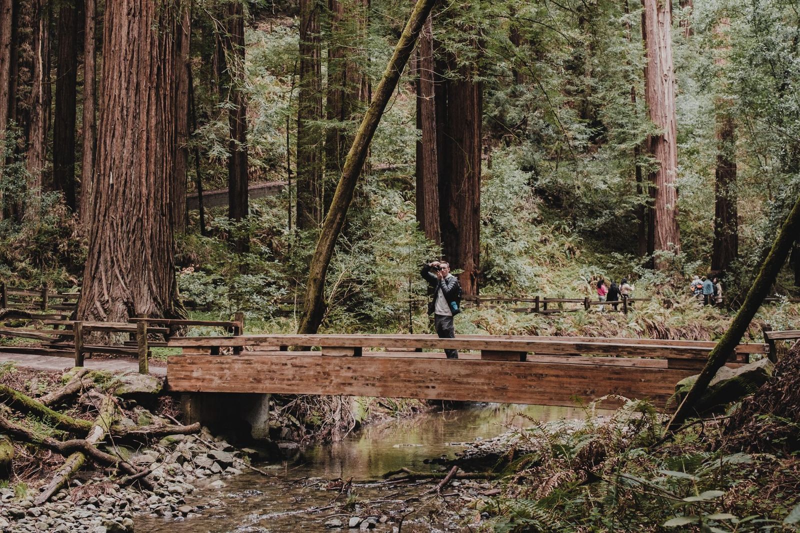
This 1.7-mile loop with about 300 ft of gain reaches a genuine old-growth coast redwood grove at 2,200 ft, with a fern understory and a Sanborn Creek crossing along the way. It’s a noticeably quieter experience than the better-known redwood parks over in Santa Cruz County, and $6 covers parking. Sanborn’s own trail network connects onward to Castle Rock State Park and the Skyline-to-Sea Trail via Skyline Boulevard for anyone wanting to extend the visit into a longer day. Skyline Boulevard itself runs right along the ridge shared with the hiking trails in San Mateo County, so that extended day can easily cross into the neighboring county without much extra driving.
Best hiking trails at Lexington Reservoir and Los Gatos, Santa Clara County
Los Gatos offers Santa Clara County’s most flexible hiking option, a paved trail that works equally well for a short stroll or a genuine multi-hour outing, and one of the few options on this list that’s genuinely stroller and bike-friendly the entire way.
The Los Gatos Creek Trail runs about 17 miles of paved path from downtown Los Gatos to Vasona Lake Park, with free access the entire way and no permit required. Lexington Reservoir itself, a 990-acre reservoir managed as Lexington Reservoir County Park, connects into the broader Sierra Azul Open Space Preserve trail network for hikers wanting to trade the paved trail for genuine hill terrain, with lake views adding a different character than the drier, more exposed Sierra Azul trails further south.
Santa Clara County rewards exactly the kind of exploration its Silicon Valley reputation doesn’t suggest: a historic mining district, the state’s oldest municipal park, and one of the largest state parks in Northern California all within a short drive of the same downtown. Start with an easy option like Alum Rock or the Los Gatos Creek Trail, and build toward Mount Umunhum’s summit view or a genuine Henry Coe backcountry trip once you’ve got a feel for the county’s range.
Frequently asked questions about hiking trails in Santa Clara County
What are the best hiking trails near San Jose, California?
Mount Umunhum offers the county’s best summit view, Almaden Quicksilver County Park delivers historic mining-district trails, and Alum Rock Park gives you California’s oldest municipal park in a creek canyon setting. All three are reachable within a short drive of downtown San Jose.
What is the highest hiking trail in Santa Clara County?
Mount Umunhum, at 3,486 ft, is the highest point in the county, reached via the Mount Umunhum Trail in the Sierra Azul Open Space Preserve. The summit’s “Cube” radar tower and 360-degree views make it the signature hike on this list.
Are there hiking trails with redwood trees near San Jose?
Yes, Sanborn County Park’s Todd Creek Redwood Loop reaches a genuine old-growth coast redwood grove just 1.7 miles round trip, with far fewer visitors than the better-known redwood parks in neighboring Santa Cruz County. It’s a strong option if you want redwoods without the drive over the hill.
Is Henry W. Coe State Park worth hiking?
Yes, especially if you want genuine backcountry solitude close to San Jose, at roughly 87,000 acres, it’s the largest state park in Northern California, with trails ranging from short day hikes to multi-day backpacking routes. Spring wildflower season (March through May) is the most popular and comfortable time to visit.
What are the best free hiking trails in Santa Clara County?
Mount Umunhum, Almaden Quicksilver County Park, and the Los Gatos Creek Trail are all free with no parking fee. Alum Rock Park, Henry W. Coe, and Sanborn County Park charge a small day-use fee, typically $6.
When is the best time to hike in Santa Clara County?
Spring (March through May) brings wildflowers to Henry W. Coe and comfortable temperatures countywide, making it the strongest all-around season. Summer heat can make the Diablo Range side of the county genuinely uncomfortable for long hikes, while the Santa Cruz Mountains side stays more forgiving year-round thanks to coastal influence.