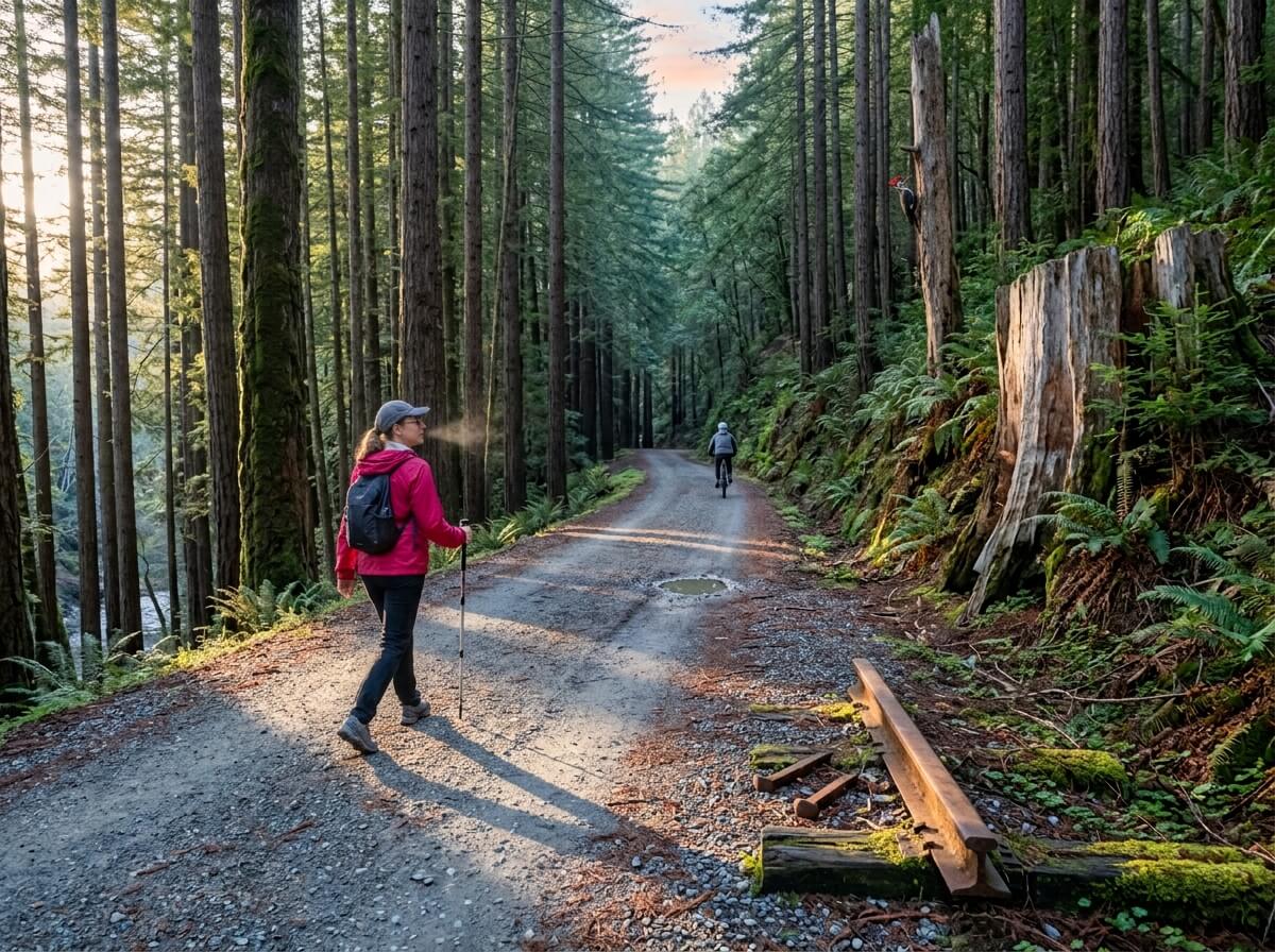
The Forest of Nisene Marks State Park Hiking Guide
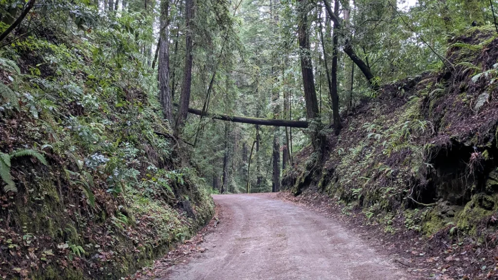
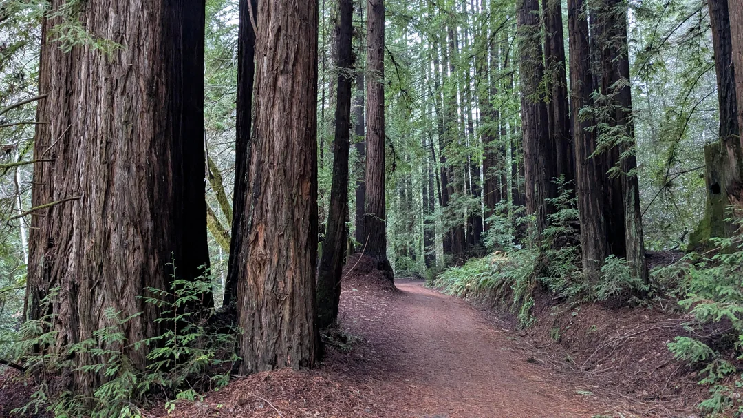
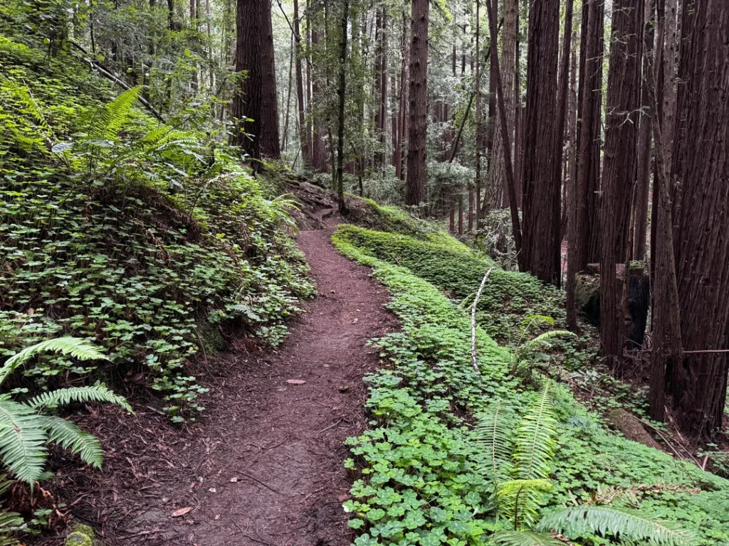
From 1883 to 1923, this canyon belonged to saws, ox teams and steam locomotives. Loggers cleared almost every redwood in sight and hauled them down Aptos Creek on a railroad built for the job. Walk the same grade today and what you hear is water, woodpeckers and the occasional bike chain.
Disclosure: Please note that some of the links below are affiliate links and at no additional cost to you, I may earn a commission. Know that I only recommend hiking gear I personally stand behind; when you use my affiliate links, it helps me run this blog and keep all of this content free of charge for readers (like you).
That’s the story of The Forest of Nisene Marks State Park, a redwood park above Aptos in the Santa Cruz Mountains of Santa Cruz County, with about 30 miles of trails that climb from near sea level to more than 2,600 feet. Its second- and third-growth forest hides logging camps, rail grades and the epicenter of the 1989 Loma Prieta earthquake.
This guide follows the questions you’ll ask in order: how to get in, what’s open, which trail fits your day, and what to do about the dog. One warning first: storm damage has closed parts of the park, including the usual route to the epicenter, and the guide covers what’s still open. It’s one of the anchor destinations in our Santa Cruz County hiking trails guide.
Key Takeaways
- Where: Aptos Creek Road, Aptos, CA 95003. From Highway 1, take the State Park Drive exit east to Soquel Drive, turn right, go 1 mile, then turn left onto Aptos Creek Road.
- Hours and cost: Sunrise to sunset. Parking is $8 per vehicle ($7 for seniors 62 and older), and parking on Aptos Creek Road itself isn’t allowed.
- Closed as of early October 2026: Aptos Creek Trail (the route to the epicenter), the Five Finger Falls trail at the Big Slide junction, and West Ridge Trail Camp. There’s no camping in the park.
- Easiest outing: Waggoner Overlook Trail, 0.2 miles round trip and wheelchair-accessible.
- Best half-day: Loma Prieta Grade Trail to Hoffman’s Historic Site, 4.6 miles round trip with 350 feet of elevation gain.
- Dogs: Allowed only on Aptos Creek Road below the Porter Family Picnic Area and on four single-track trails below the steel bridge.
What Is the Forest of Nisene Marks State Park, and Why Does It Matter?
The park’s name honors Nisene Marks, the nature-loving mother of the Salinas farm family that bought this land in the 1950s. Her children donated almost 9,700 acres to the state in 1963, with the provision that it never be developed. Long before that, the land belonged to the Awaswas-speaking Ohlone people known as the Aptos.
In the 1880s, the Southern Pacific Railway financed the Loma Prieta Lumber Company and its railway, and Chinese laborers cut and graded a rail line seven miles up the canyon. Logging ended in the 1920s, and the forest has been healing ever since. State Parks describes it as a forest that is always still becoming.
Beneath the trees, the ground tells its own story. Three faults shape the park: the San Andreas, San Gregorio and Zayante. The magnitude 6.9 Loma Prieta earthquake struck on October 17, 1989, and its epicenter was here, near Loma Prieta, the “dark hill” the quake was named for. The sandy, loamy soil is prone to landslides, which helps explain the storm-damage closures.
A grove of old-growth redwoods near the Pourroy picnic area, once private land, was added to the park, and the park’s largest redwood, The Advocate, stands a short side trip off the Old Growth Loop. Volunteers from the Advocates for the Forest of Nisene Marks meet on the third Sunday of each month to maintain the trails.
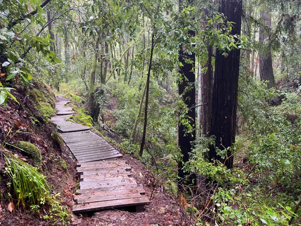
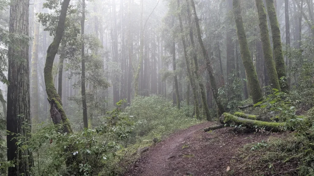
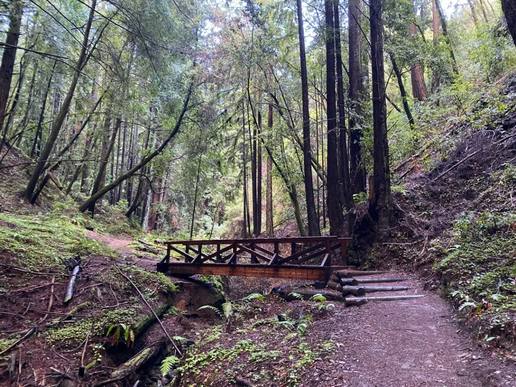
Getting to the Forest of Nisene Marks State Park: Directions, Parking and Fees
From Highway 1, take the State Park Drive exit and head east to Soquel Drive. Turn right, go 1 mile, and turn left onto Aptos Creek Road. Because of road erosion, vehicle access is limited to a single lane in places, and plenty of walkers share the pavement, so drive slowly.
Parking is $8 per vehicle ($7 for seniors 62 and older), and credit cards are encouraged. Annual State Parks passes are sold at the entrance kiosk. State Parks says no parking is allowed on Aptos Creek Road itself, so use the entrance lot or the Porter Family Picnic Area lot.
Check in at the kiosk for current trail conditions, or call the park at (831) 763-7063. For alerts before you drive over, see California State Parks’ Nisene Marks page.
The lower park’s trail network can be complex and hard to follow, and State Parks recommends carrying a map. Our guide on how to read a California hiking trail map helps if you’re rusty.
Trail Closures at Nisene Marks Park: What’s Open Right Now
As of State Parks’ early October 2026 update, three areas are closed until further notice because of storm damage and erosion: West Ridge Trail Camp, Aptos Creek Trail, and the trail to Five Finger Falls at the Big Slide Trail and Aptos Creek Trail intersection.
Friends of Santa Cruz State Parks specifies that the closed stretch of Aptos Creek Trail runs from Aptos Creek Fire Road to the epicenter.
In practice, that closes the standard route to the Loma Prieta epicenter and the 13-mile Five Finger Falls hike. State Parks lists no other closures, but conditions change after storms. Read our guides to terrain hazards on California hiking trails and California hiking trail closures before you go.
Best Hiking Trails at the Forest of Nisene Marks
State Parks’ own figures are below. Trail apps sometimes log different distances.
| Trail | Distance | Elevation change | Level | Starts at |
|---|---|---|---|---|
| Waggoner Overlook Trail | 0.2 mi round trip | Mostly flat | Easy | Emmett Reed picnic area |
| Buggy Trail | 1 mi round trip | 100 ft | Easy | George’s Picnic Area |
| Aptos Rancho Trail to George’s | 3 mi round trip | Mostly level | Easy | Entrance lot |
| Old Growth Loop | 2.2 mi round trip | Moderate | Moderate | Emmett Reed picnic area |
| Loma Prieta Grade to Hoffman’s | 4.6 mi round trip | 350 ft | Moderate | Porter picnic area |
| Maple Falls | About 7 mi round trip | 300 ft | Moderate | Porter picnic area |
| West Ridge Loop | 7.5 mi | 850 ft | Strenuous | Mary Easton picnic area |
| Sand Point | 11.4 mi round trip | 1,400 ft | Strenuous | Porter picnic area |
Old Growth Loop: Twisted Trees and The Advocate
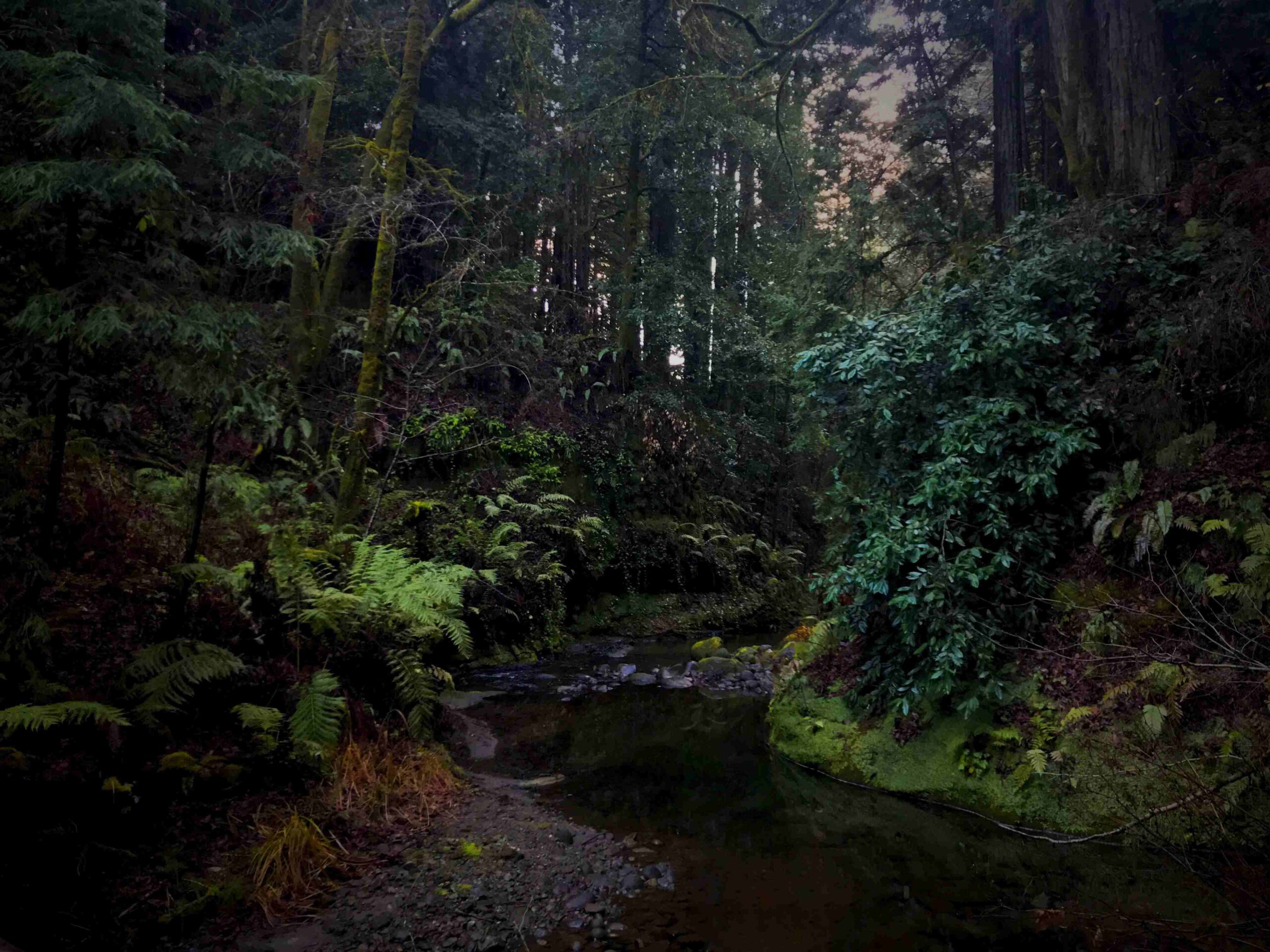
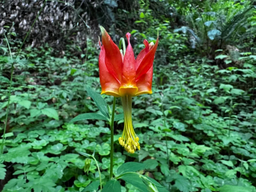
If you only have an hour or two, start here. From the Emmett Reed picnic area, follow the trail to the creekside Pourroy Picnic Area, then loop around a moss-and-fern-covered grotto and a stand of twisted trees. In summer, look for a colony of bright orange tiger lilies.
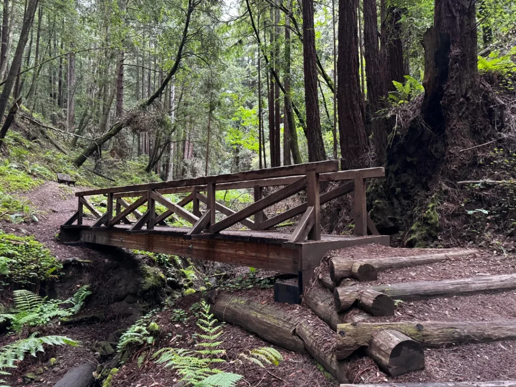
Don’t skip the short side trip to The Advocate, the park’s largest redwood, at 250 feet tall and 45 feet around. A seasonal bridge helps hikers from May through October. From November through April, the stream crossing is moderate to difficult, and the trail is rough and steep in places.
Loma Prieta Grade Trail to Hoffman’s Historic Site
For a half day, take the Loma Prieta Grade from the Porter picnic area. The gentle uphill climb follows the route of an old steam railway, and you can still spot the tracks.
After 2.3 miles, you reach Hoffman’s Historic Site, which once housed 100 loggers and mill workers and is the best-preserved logging camp in the park. The round trip is 4.6 miles with 350 feet of elevation gain. Dogs aren’t allowed beyond the gate at the Porter lot.
Maple Falls
This route takes the Loma Prieta and Bridge Creek trails from the Porter picnic area, about 7 miles round trip with 300 feet of elevation gain by State Parks’ count. Some trail apps log it closer to 10 miles.
The falls run fullest after rain, but State Parks recommends going in the drier months, since heavy rain makes access difficult and potentially dangerous. For more cascades around the state, see our guide to the best waterfall hikes in California.
Aptos Creek Fire Road to Sand Point
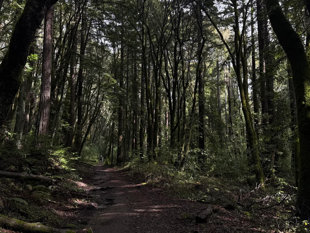
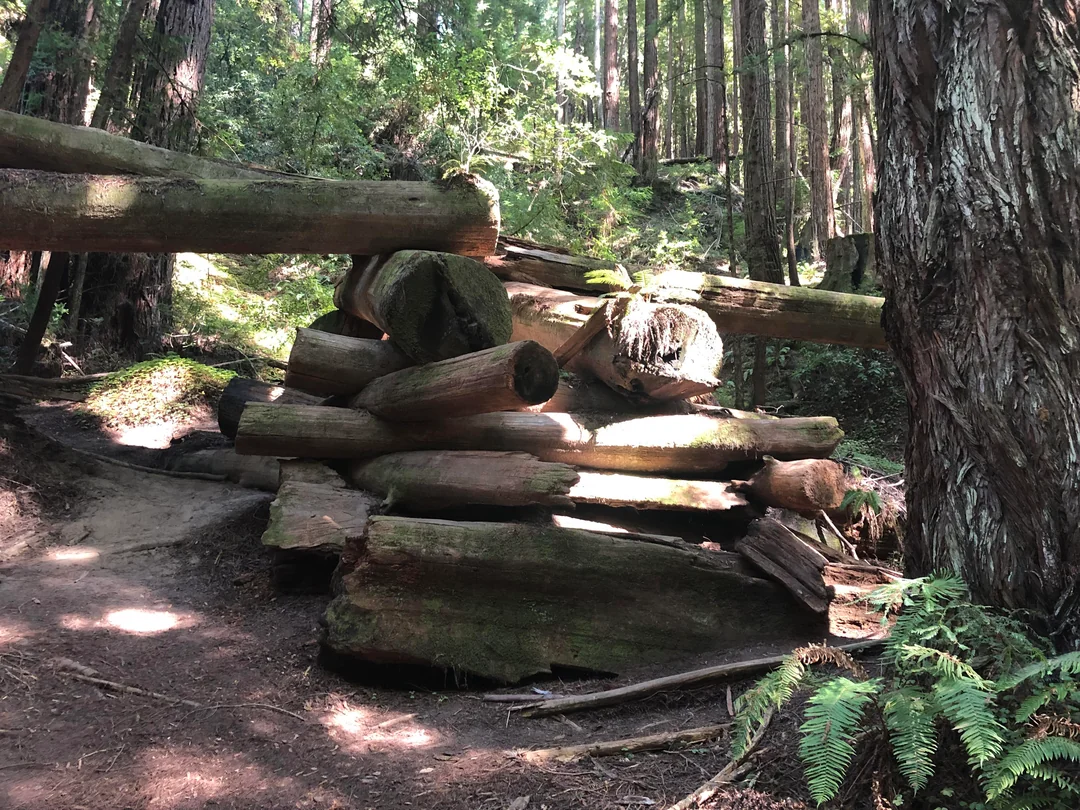
This is the park’s main artery: an old railroad grade built between 1883 and 1912. It’s 5.7 miles up to the Sand Point overlook bench, which has one of the best views in Santa Cruz County, so the full hike is 11.4 miles round trip with 1,400 feet of climbing.
Cyclists share the road, and State Parks suggests a full day for riders who want to push on to 2,529-foot Santa Rosalia Mountain.
Easy Walks: Waggoner Overlook, Buggy Trail and Aptos Rancho
The Waggoner Overlook Trail is a wheelchair-accessible 0.2-mile stroll to a shady deck above Aptos Creek, named for former park ranger Gerald “Jerry” Waggoner. See our guide to wheelchair-accessible hiking trails in California for more.
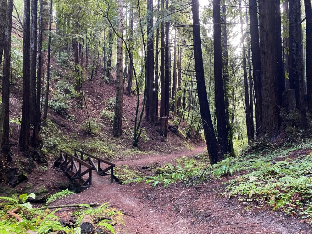
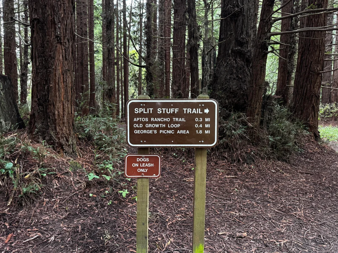
The 1-mile Buggy Trail, from George’s Picnic Area, passes second-growth redwood and oak; from January through March, you may see fetid adder’s tongue, a foul-smelling lily nicknamed “slinkpod.” For a longer, level walk, take the Split Stuff Trail 0.2 miles to the Aptos Rancho Trail and follow Aptos Creek to George’s Picnic Area, 3 miles round trip. “Split stuff” refers to the shingles, posts and grape stakes loggers hand-cut here.
The Epicenter and Five Finger Falls
When it’s open, the Aptos Creek Trail leads past the epicenter of the 1989 earthquake on the way to Five Finger Falls, a 13-mile round trip with 500 feet of elevation gain. Both are currently out of reach because of the closures above. Check the kiosk or State Parks’ page for updates before you plan around them.
Dogs, Bikes, Horses and Other Park Rules
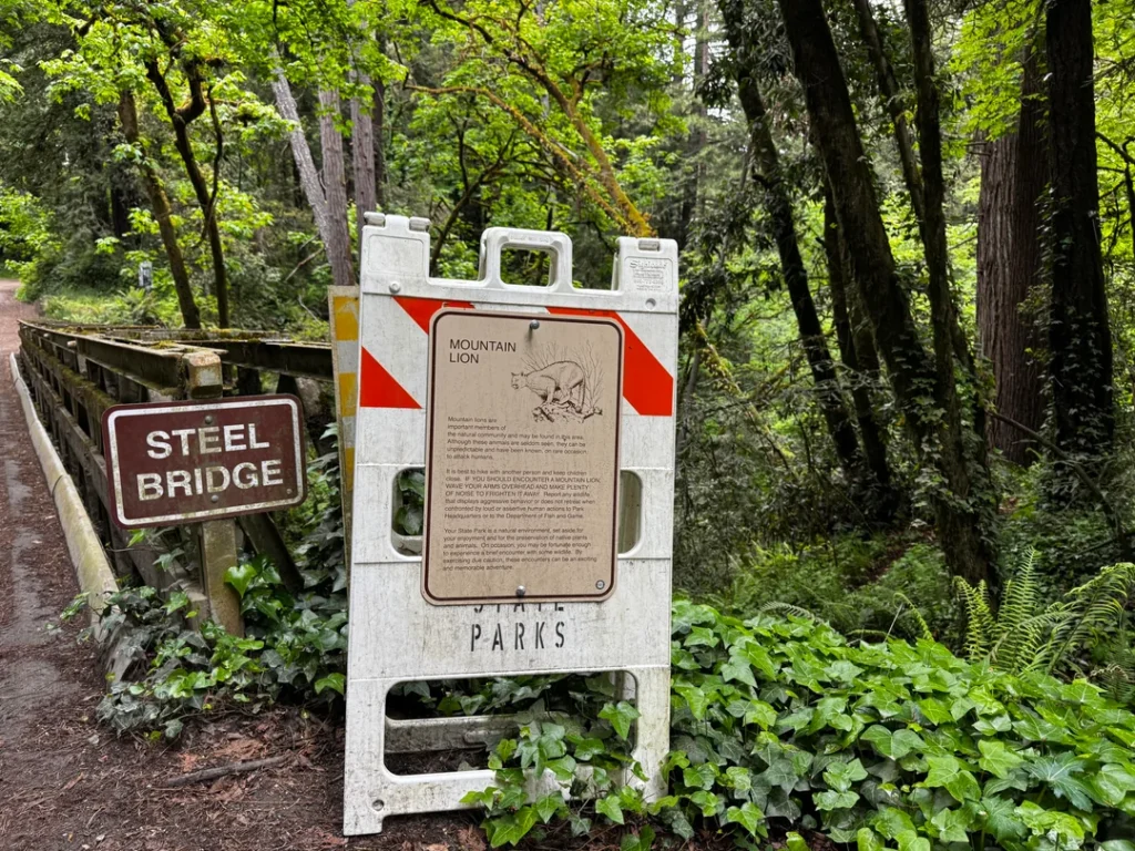
Dogs must be on a leash no longer than six feet and attended at all times. They’re allowed only on Aptos Creek Road below the Porter Family Picnic Area and on four single-track trails below the steel bridge: Aptos Rancho, Split Stuff, Terrace and Vienna Woods. Except for service animals, they’re prohibited beyond the gate at the Porter picnic area lot. Our guide to hiking with dogs in California covers other options.
Bicycles are allowed on Aptos Creek Fire Road and the same four single-track trails. Horses are limited to those four trails below the steel bridge. Fires are not allowed anywhere in the park.
There’s currently no camping. The park is also “Crumb Clean,” so pack out every scrap of food to help protect the marbled murrelet, an endangered bird that nests here.

When Is the Best Time to Visit the Forest of Nisene Marks?
Match the trail to the season. The Old Growth Loop is easiest from May through October, when the seasonal bridge is in place. Maple Falls is best in drier months for safer access, although the cascade looks its fullest after rain.
January through March brings the slinkpod blooms along the Buggy Trail, and summer brings tiger lilies. Because the park’s soil slides easily, expect closures after storms. State Parks also offers guided hikes with an interpreter, which you register for online.
Where to Go Next After Nisene Marks
If the redwoods have you hooked, the Henry Cowell Redwoods State Park hiking guide covers an old-growth grove with a flat 0.8-mile loop, and our Big Basin Redwoods State Park hiking guide covers the county’s other major redwood state park.
On the San Mateo County side of the same mountains, the Portola Redwoods State Park hiking and camping guide includes campsite details if you want to stay overnight. To see everything the county offers, return to the Santa Cruz County trail guide.
Final Recommendation
Here’s the honest version: with an hour, walk the Old Growth Loop and look up at The Advocate. With a half day, climb the Loma Prieta Grade to Hoffman’s and imagine 100 loggers living there. With a full day and good legs, take the fire road to Sand Point. Check the closures first, carry a map, and give the creek crossings respect. This forest earned its second chance, and it rewards the people who tread lightly.
Frequently Asked Questions About the Forest of Nisene Marks State Park
How much does it cost to visit the Forest of Nisene Marks State Park?
Parking is $8 per vehicle, or $7 for seniors 62 and older, and credit cards are encouraged. Parking isn’t allowed on Aptos Creek Road, so use the entrance lot or the Porter lot.
Is Nisene Marks Park dog friendly?
In limited areas. Leashed dogs may use Aptos Creek Road below the Porter Family Picnic Area and four single-track trails below the steel bridge. They aren’t allowed beyond the gate at the Porter lot.
Can you visit the Loma Prieta earthquake epicenter?
Normally, yes, by hiking the Aptos Creek Trail. State Parks currently lists that trail as closed until further notice because of storm damage and erosion. Check at the kiosk before you plan a trip around it.
Can you camp at the Forest of Nisene Marks?
No. State Parks says there’s currently no camping in the park, and West Ridge Trail Camp is closed. For nearby options, see our list of campgrounds near California’s top hiking trails.
What is the easiest hike at the Forest of Nisene Marks?
The wheelchair-accessible Waggoner Overlook Trail (0.2 miles round trip) is the easiest. The 1-mile Buggy Trail and the level, 3-mile Aptos Rancho Trail to George’s Picnic Area are also gentle.
How long is the hike to Hoffman’s Historic Site?
It’s 2.3 miles each way, or 4.6 miles round trip, with 350 feet of elevation gain. Allow a half day, starting at the Porter picnic area.