Hiking Trails in Contra Costa County, California
Mount Diablo dominates Contra Costa County’s hiking reputation for good reason (its summit view is one of the most expansive in California), but the broader network of hiking trails in Contra Costa extends far beyond that one mountain. It includes a historic coal-mining preserve and rolling East Bay hills most Bay Area hikers never bother to explore. Most weekend visitors drive straight to the summit and never see the rest of what the county offers.
Disclosure: Please note that some of the links below are affiliate links and at no additional cost to you, I may earn a commission. Know that I only recommend hiking gear I personally stand behind; when you use my affiliate links, it helps me run this blog and keep all of this content free of charge for readers (like you).
Key takeaways
- Contra Costa County holds three distinct hiking zones: Mount Diablo State Park, the Black Diamond Mines/Antioch area, and the Briones/Lafayette/Walnut Creek regional park network.
- Mount Diablo’s summit reaches 3,849 ft, with visibility up to nearly 200 miles on clear days. The Sierra Nevada, Mount Lassen, and the Farallon Islands are all visible from the top.
- Dogs are not allowed on any Mount Diablo State Park trails, only in developed areas and campgrounds. This stands in real contrast with the county’s EBRPD regional parks, which do allow leashed dogs.
- Black Diamond Mines Regional Preserve protects a former 1860s–1930s coal mining district, with the Nortonville Trail leading to Rose Hill Cemetery’s historic Welsh immigrant headstones.
- Briones Regional Park offers 6,255 acres of pastoral oak savanna hiking, a genuinely different landscape from Mount Diablo’s rockier terrain, with leashed dogs welcome.
- More than 300 miles of trail across the county are managed by EBRPD and California State Parks combined, giving Contra Costa a trail network few East Bay counties can match.
Related
- Wildcat Canyon Regional Park Hiking Guide
- Briones Regional Park Hiking Guide
- 5 Best Hiking Trails in Mount Diablo, Contra Costa County
- 5 Best Regional Park Hiking Trails in Contra Costa County
Why Contra Costa County is the East Bay’s premier hiking destination
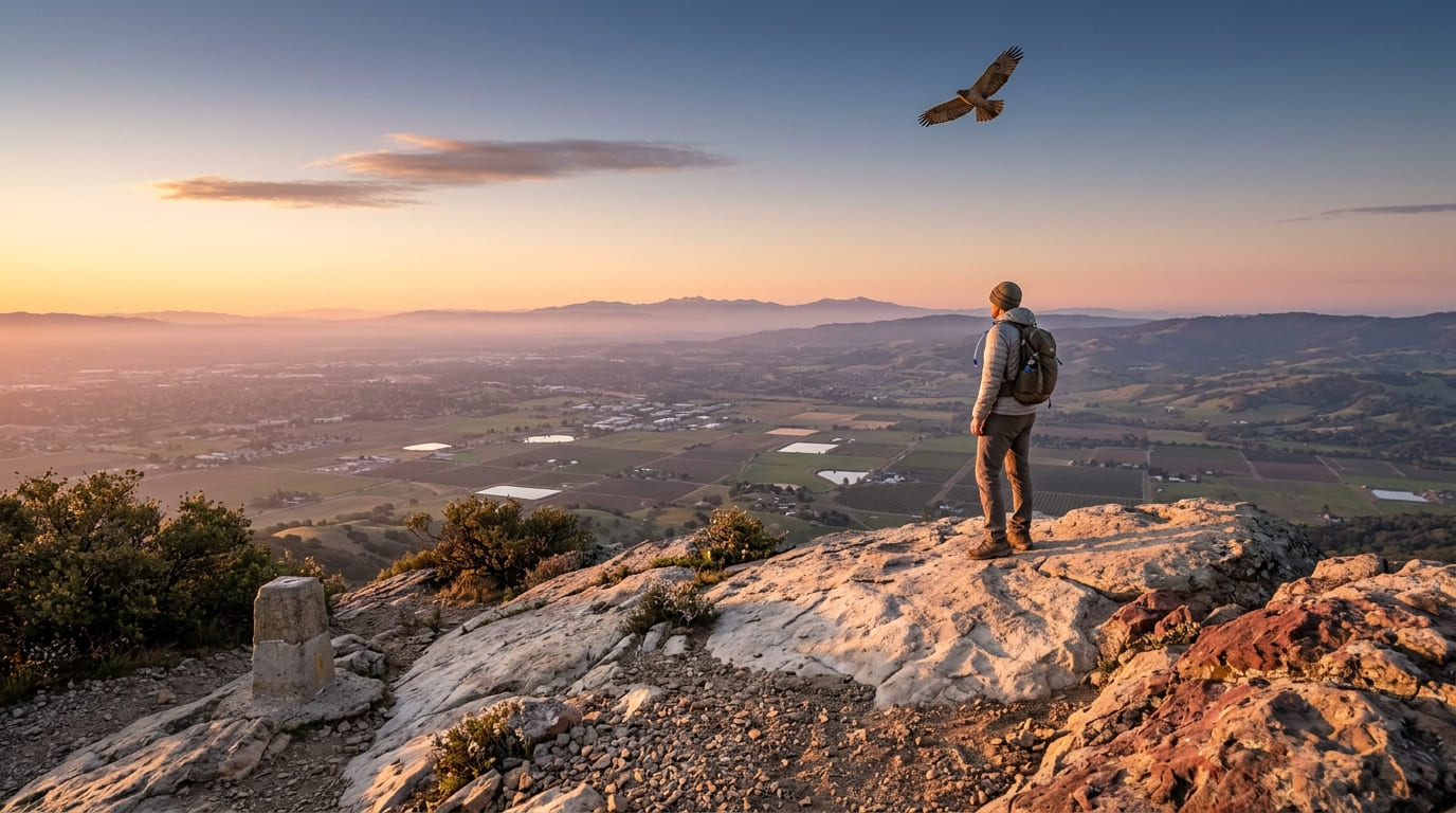
Mount Diablo has long been claimed locally as the peak visible from the greatest land area of any mountain outside the Himalayas (a hard superlative to verify precisely, but its 3,849-ft summit genuinely does deliver visibility up to nearly 200 miles on the clearest days, which is remarkable for a peak this modest in elevation).
Beyond the mountain itself, Black Diamond Mines Regional Preserve’s historic coal mine trails and Briones Regional Park’s pastoral East Bay hills round out more than 300 miles of trail managed by EBRPD and California State Parks combined. That trail network continues north into Solano County, Contra Costa’s neighbor across the Carquinez Strait.
Contra Costa County’s three hiking zones
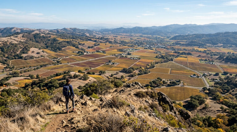
Mount Diablo State Park anchors the county with its 3,849-ft summit, Mitchell Canyon, North Peak, and South Face trail systems, drawing hikers from across the entire Bay Area for its famous panoramic view. Black Diamond Mines and the broader Antioch area add historic coal mining trails, including the Rose Hill Cemetery and the Somersville townsite, a genuinely different flavor of hiking built around Gold Rush-era California history.
Briones, Lafayette, and Walnut Creek round out the county with EBRPD regional parks (Lafayette Ridge, Las Trampas, and Wildcat Canyon among them) offering pastoral rolling hills genuinely distinct from Mount Diablo’s rockier terrain, with a far more relaxed, dog-friendly hiking culture.
Best hiking trails in Mount Diablo State Park, Contra Costa County
Mount Diablo State Park covers 20,000 acres, and its summit’s sightlines make it one of the most photographed viewpoints in the entire Bay Area, a genuine landmark visible from most of the surrounding East Bay suburbs.
Mitchell Canyon to Summit Trail: Mount Diablo’s best full-day hike
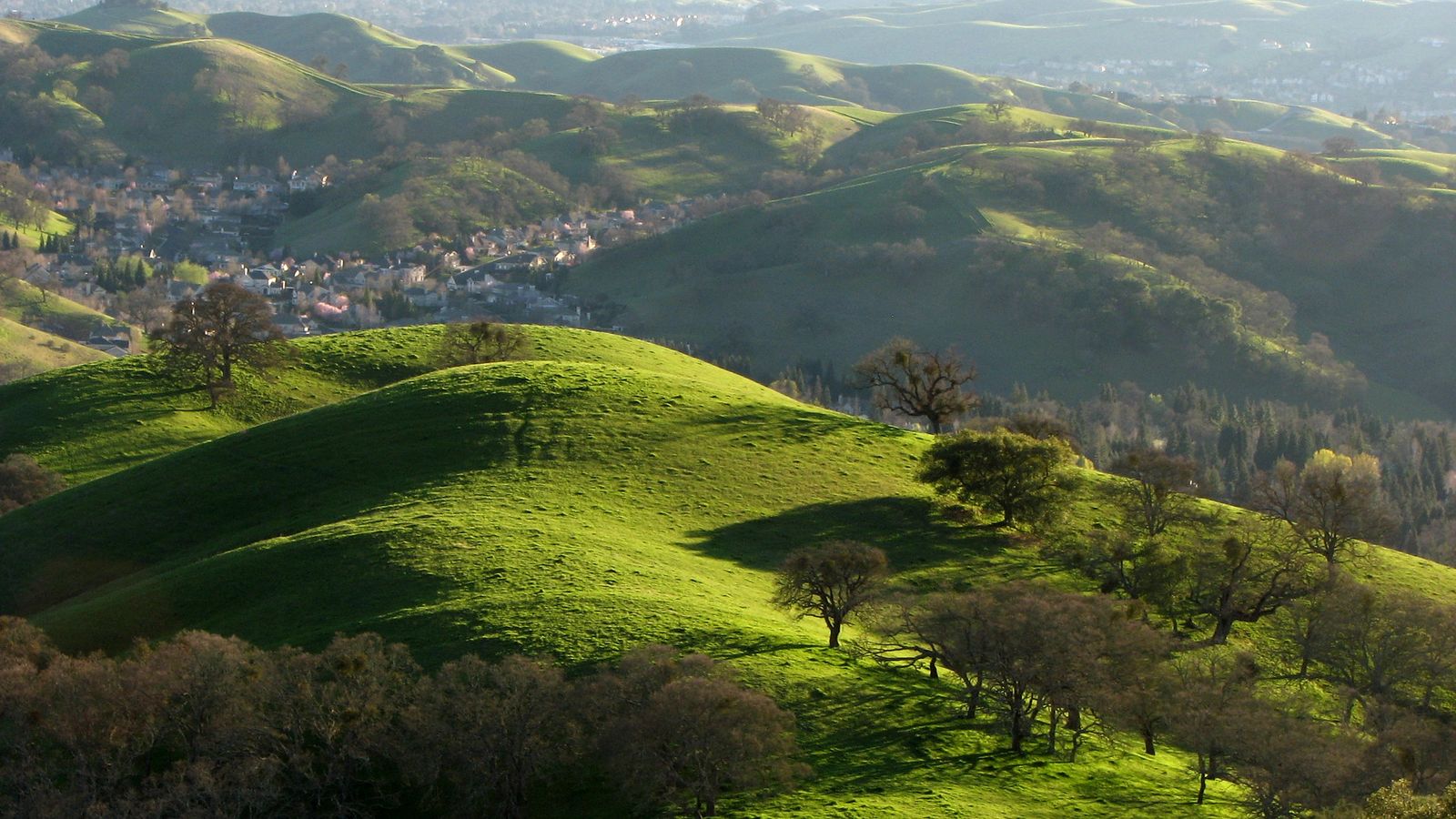
A 12-mile round trip with about 3,200 ft of gain from the Mitchell Canyon trailhead in Concord, passing through wildflower-rich canyon terrain in March and April before the long climb to the 3,849-ft summit. On the clearest days, visibility extends all the way to the Sierra Nevada, a genuinely rare sightline for a peak this close to the Bay. An Eagle Peak connector option adds extra mileage for hikers who want to extend the day, and a $10 day-use fee applies.
Rock City trails: Mount Diablo’s best short sandstone formation hike
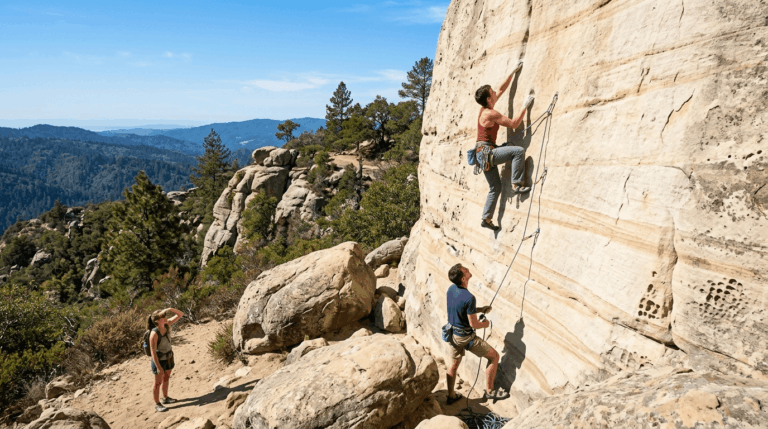
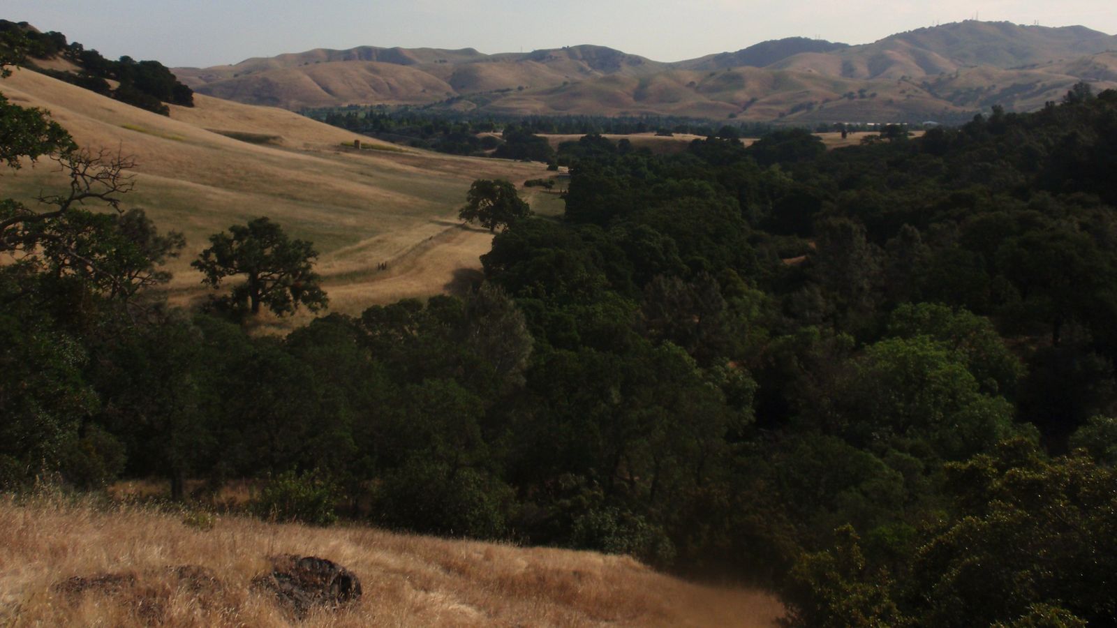
A cluster of short loops (1–3 miles) on the mountain’s south side, winding through genuine sandstone wind caves and formations that require no special gear to explore, including well-known landmarks like Elephant Rock and Fossil Ridge.
It’s family-friendly, with parking at the Rock City area for a $10 day-use fee, and connects to Wall Point Road for hikers who want a longer route beyond the formations themselves.
Mary Bowerman Trail: Mount Diablo’s best summit loop
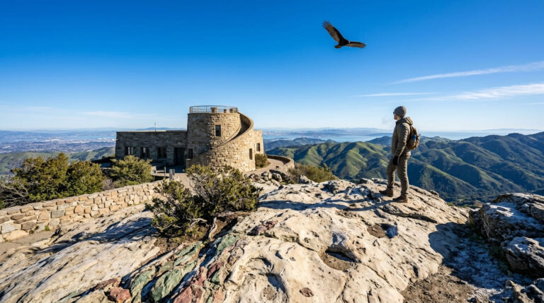
A 0.7-mile loop right at the summit, with interpretive signage and the same panoramic view (including the Sierra Nevada, San Francisco Bay, the Farallon Islands, and Mount Lassen on the clearest days) without the climb required to reach it from the base.
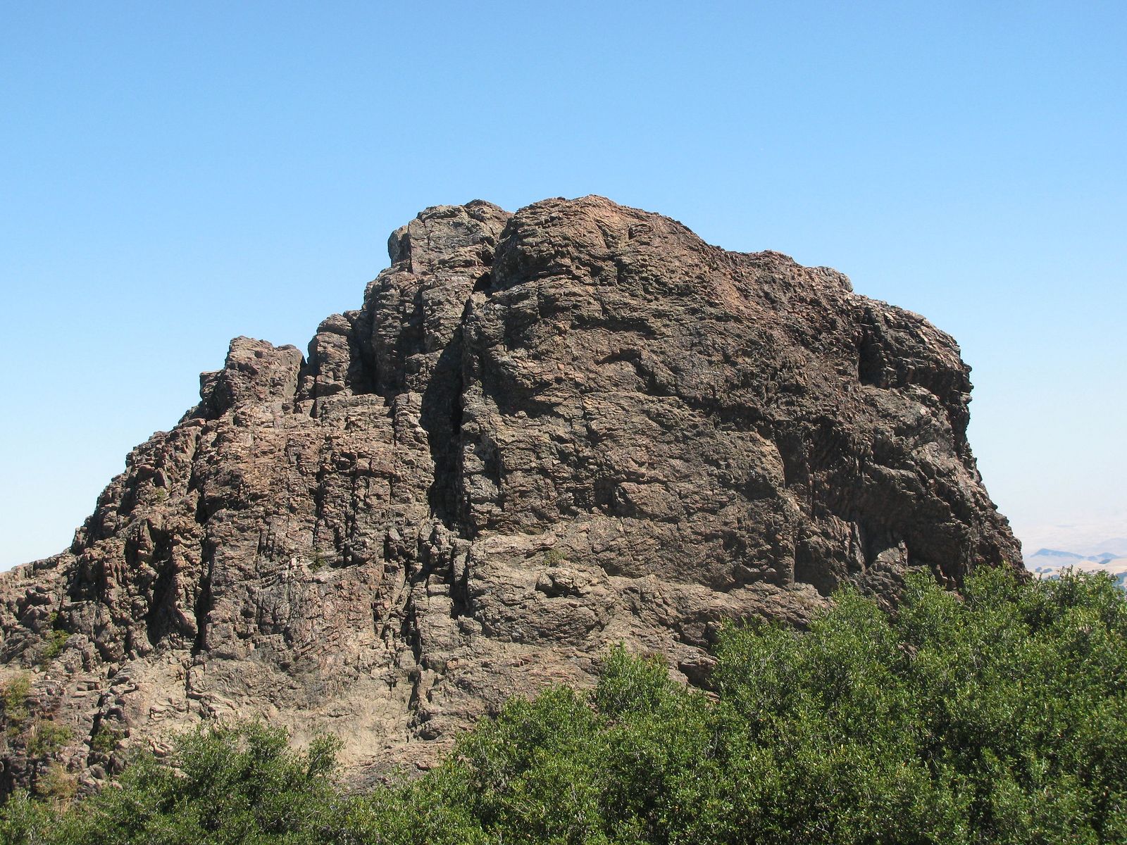
The trail is named for the botanist who spent decades studying Diablo’s unique plant communities, and it’s the easiest way to experience the summit view for anyone who’d rather drive most of the way up and save their energy for the view itself rather than the ascent.
Best hiking trails in Black Diamond Mines Regional Preserve, Contra Costa
Black Diamond Mines Regional Preserve protects 6,035 acres around a former coal and silica sand mining district that operated from the 1860s through the 1930s, near Antioch and Pittsburg, offering a genuinely different hiking experience built around California mining history rather than mountain scenery.
Nortonville Trail to Rose Hill Cemetery: Black Diamond’s most historic hike
A 4-mile round trip with about 600 ft of gain to a cemetery dating to the 1860s coal mining era, with headstones marking the graves of Welsh immigrant miners who worked the district and their families.
The Greathouse Portal, a visible former mine entrance, sits near the main Somersville trailhead, and spring wildflowers along the preserve’s trails can reach genuine superbloom intensity after a wet winter. A $5 parking fee applies on weekends, and scheduled mine entrance tours add another way to explore the preserve’s history beyond the trail itself.
Best hiking trails in Briones Regional Park, Contra Costa County
Briones Regional Park covers 6,255 acres of pastoral rolling oak savanna on the Lafayette/Orinda border, a landscape shaped by more than a century of cattle grazing and genuinely different from anything else in this guide. Briones sits close enough to the county line that its rolling hills continue almost seamlessly into the hiking trails in Alameda County to the south.
Briones Crest Trail: Contra Costa’s best East Bay hills ridge walk
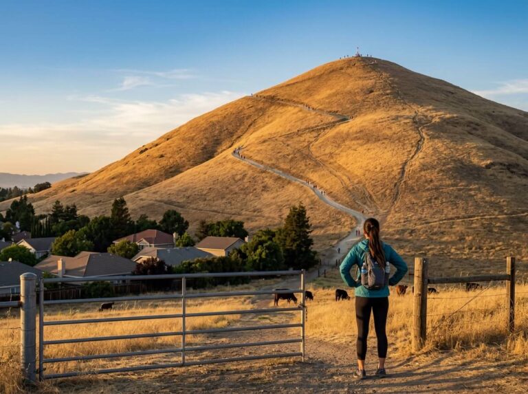
An 8-mile loop with about 1,000 ft of gain to a 1,483-ft summit, delivering panoramic East Bay hills views across a working cattle ranching landscape still grazed today. Spring wildflowers, including blue-eyed grass, shooting stars, and California poppies, put on a real show March through April, rivaling anything at Mount Diablo.
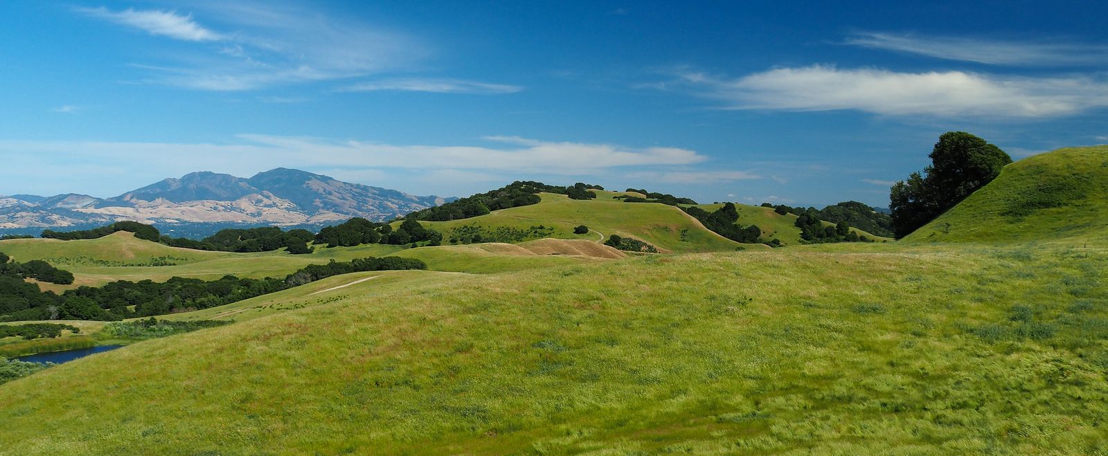
Dogs are welcome on leash, a genuine contrast to Mount Diablo’s trail policy, and a $5 parking fee applies at the Bear Creek trailhead, free with an EBRPD annual pass for regular visitors.
Best hiking trails near Walnut Creek and Lafayette, Contra Costa County
Lafayette Ridge Trail runs 4 miles round trip from Happy Valley Road, delivering bay and ridge views without the length of some of the county’s bigger hikes, making it a solid choice for a weekday evening hike close to home for anyone living in the Lafayette or Walnut Creek area.
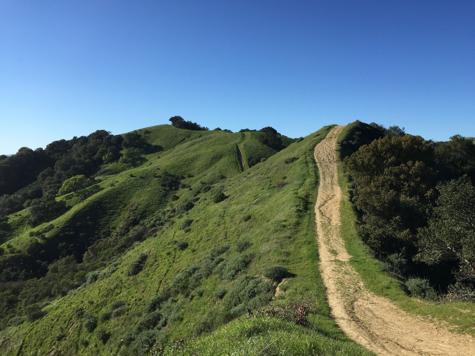
Las Trampas Regional Wilderness adds 3,298 acres of genuinely rocky terrain nearby, a sharp contrast to Briones’ rolling grassland just a few miles away.
Las Trampas Regional Wilderness: Contra Costa’s best rocky ridge hike
The Rocky Ridge View Trail runs a stunning ~5-mile loop with about 1,500 ft of gain along the park’s dramatic, rocky ridge lines, past terrain regularly visited by coyotes and, less commonly, golden eagles. Spring wildflowers are excellent here too, and fall is genuinely the best overall season, once summer’s dry grass gives way to greener hillsides and the punishing midday heat eases off.
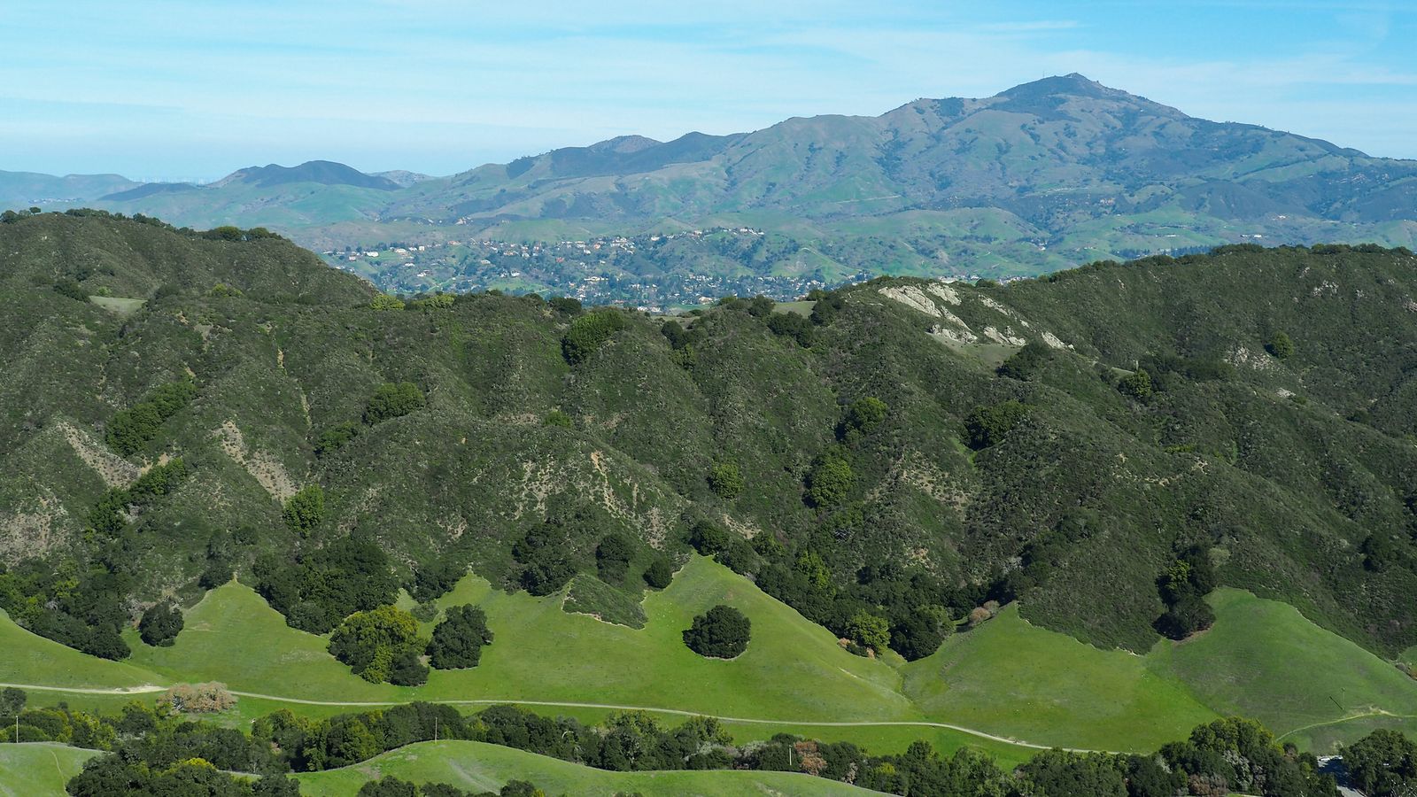
A $5 parking fee applies at the Valley Trail trailhead, and the park connects directly to Bishop Ranch Regional Open Space for hikers who want to extend the route further.
Contra Costa County rewards visitors willing to look past Mount Diablo’s fame: Black Diamond Mines’ coal-era history and Briones’ pastoral hills both offer genuinely different hiking within the same county. Respect Mount Diablo’s no-dogs-on-trails policy if you’re bringing a pet, since it differs from most of the county’s other parks, and bring real sun protection for the largely exposed grassland trails throughout the East Bay hills, since summer heat here can be more intense than the Bay’s coastal fog might lead you to expect.
Frequently asked questions about hiking trails in Contra Costa County
What are the best hiking trails on Mount Diablo?
Mitchell Canyon to Summit for the best full-day challenge, Rock City for an easy family-friendly sandstone formation hike, and the Mary Bowerman Trail for the easiest way to experience the summit view itself. All three showcase a different side of what makes the mountain worth visiting.
How hard is the hike to the top of Mount Diablo?
Genuinely strenuous via most routes. The Mitchell Canyon approach runs 12 miles round trip with about 3,200 ft of gain. Driving to the summit and walking the short Mary Bowerman Trail is the easy alternative if you want the view without the climb.
What hiking trails are near Walnut Creek, California?
Lafayette Ridge Trail and Las Trampas Regional Wilderness are both close to Walnut Creek, offering bay views and rocky ridge terrain respectively without requiring a trip all the way to Mount Diablo’s main trailheads.
Is Mount Diablo State Park free to hike?
No, a $10 day-use fee applies at the park’s entrance gates, which surprises some visitors expecting free access the way many EBRPD regional parks in the same county offer.
What can you see from the top of Mount Diablo on a clear day?
On the clearest days, visibility extends up to nearly 200 miles, taking in the Sierra Nevada, Mount Lassen, the Santa Cruz Mountains, and the Farallon Islands beyond the Golden Gate, a genuinely remarkable sightline for a peak under 4,000 ft.
Are dogs allowed on hiking trails at Mount Diablo State Park?
No. Dogs are restricted to developed areas, campgrounds, and paved roads within the park, not the trails or fire roads themselves. Briones and Las Trampas, both EBRPD regional parks nearby, do allow leashed dogs on their trails, so plan your destination accordingly if you’re hiking with a pet.