San Bruno Mountain Hiking Guide
For decades, developers planned to flatten parts of the hills south of San Francisco for housing, and residents and conservationists pushed back. The fight ended in a compromise that created the nation’s first Habitat Conservation Plan, and it left the Bay Area with a 2,416-acre ridge of grass and scrub that still looks out over the cities around it.
Disclosure: Please note that some of the links below are affiliate links and at no additional cost to you, I may earn a commission. Know that I only recommend hiking gear I personally stand behind; when you use my affiliate links, it helps me run this blog and keep all of this content free of charge for readers (like you).
That ridge is San Bruno Mountain State Park, officially San Bruno Mountain State & County Park, in northern San Mateo County. San Mateo County Parks manages it, and it borders Daly City, Brisbane, South San Francisco, and Colma. About 12 miles of trails climb to a 1,314-foot summit you can reach on foot or by car, with 360-degree views of the Bay Area.
This guide follows your questions in order: who runs it, what it costs, which trail fits your day, and what to expect from the weather. It’s one of the anchor parks in our San Mateo County hiking trails guide.
Key Takeaways
- Where: 555 Guadalupe Canyon Parkway, Brisbane, CA 94005.
- Who runs it: San Mateo County Parks, though California State Parks lists it as a state park. The state’s Annual Day Use Pass isn’t accepted here.
- Hours: Opens at 8 a.m. daily. In 2026, closing time is 7 p.m. through October 11, 6 p.m. from October 12 to November 1, and 5 p.m. from November 2 through February 2027.
- Cost: $6 per vehicle, paid at machines in the main parking lot with cash, debit, or credit.
- Best views: The summit at 1,314 feet, reached on foot or by car on Radio Road.
- Dogs and bikes: No dogs. Bicycles and motor vehicles are allowed only on paved roads.
What Makes San Bruno Mountain State & County Park Special?
San Bruno Mountain State & County Park sits at the northern end of the Santa Cruz Mountains, an open-space island in the middle of the peninsula’s suburbs. The ridge runs east to west, with elevations from 250 feet to 1,314 feet and slopes steeper than 50 percent in many places.
The bedrock is mostly greywacke, a shale-and-sandstone mix. The County and the State jointly bought the land, and by 1980 they had agreed that San Mateo County would run the park.
Much of the mountain once belonged to one man. In 1884, Charles Crocker, a builder of the Central Pacific Railroad, acquired almost 4,000 acres here, and for a while the land was simply grazed. After the peninsula began to boom in the mid-twentieth century, developers eyed the hillsides.
The Habitat Conservation Plan, adopted in the mid-1980s, allows limited development in exchange for funding the protection and restoration of habitat elsewhere on the mountain.
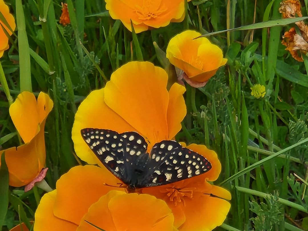
That habitat matters because of the butterflies. Mission blue, San Bruno elfin, callippe silverspot, and the reintroduced bay checkerspot depend on the mountain’s coastal grassland and rocky outcrops, and some are found in only a few other places in the world. The park also protects 14 species of rare or endangered plants.
Getting to San Bruno Mountain Park: Directions, Parking and Fees
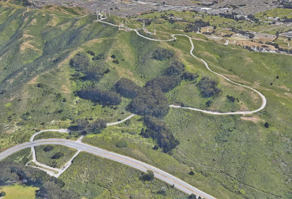
From Bayshore Boulevard, turn west onto Guadalupe Canyon Parkway toward the mountain. The entrance is at 555 Guadalupe Canyon Parkway in Brisbane. After the entrance kiosk, turn right onto Radio Road, pass under Guadalupe Canyon Parkway, and the trailhead parking lot is about 0.1 miles ahead.
The park’s phone number is (650) 589-5708, and the County posts a park map and a self-guided tour on its website. Neighborhood access points, including Crocker Road and Charter Street, also serve as starting points.
The entry fee is $6 per vehicle. County payment machines in the main lot take cash, debit and credit cards, and you’ll get a pay stub to place on the driver’s side of your dashboard.
California State Parks notes that San Bruno Mountain is one of the few state parks that doesn’t accept the Annual Day Use Pass, and the County offers entry fee waivers for those who qualify. For the latest hours and alerts, check San Mateo County Parks’ San Bruno Mountain page, and see California State Parks’ listing for its summary of the park.
Conditions and Closures at San Bruno Mountain
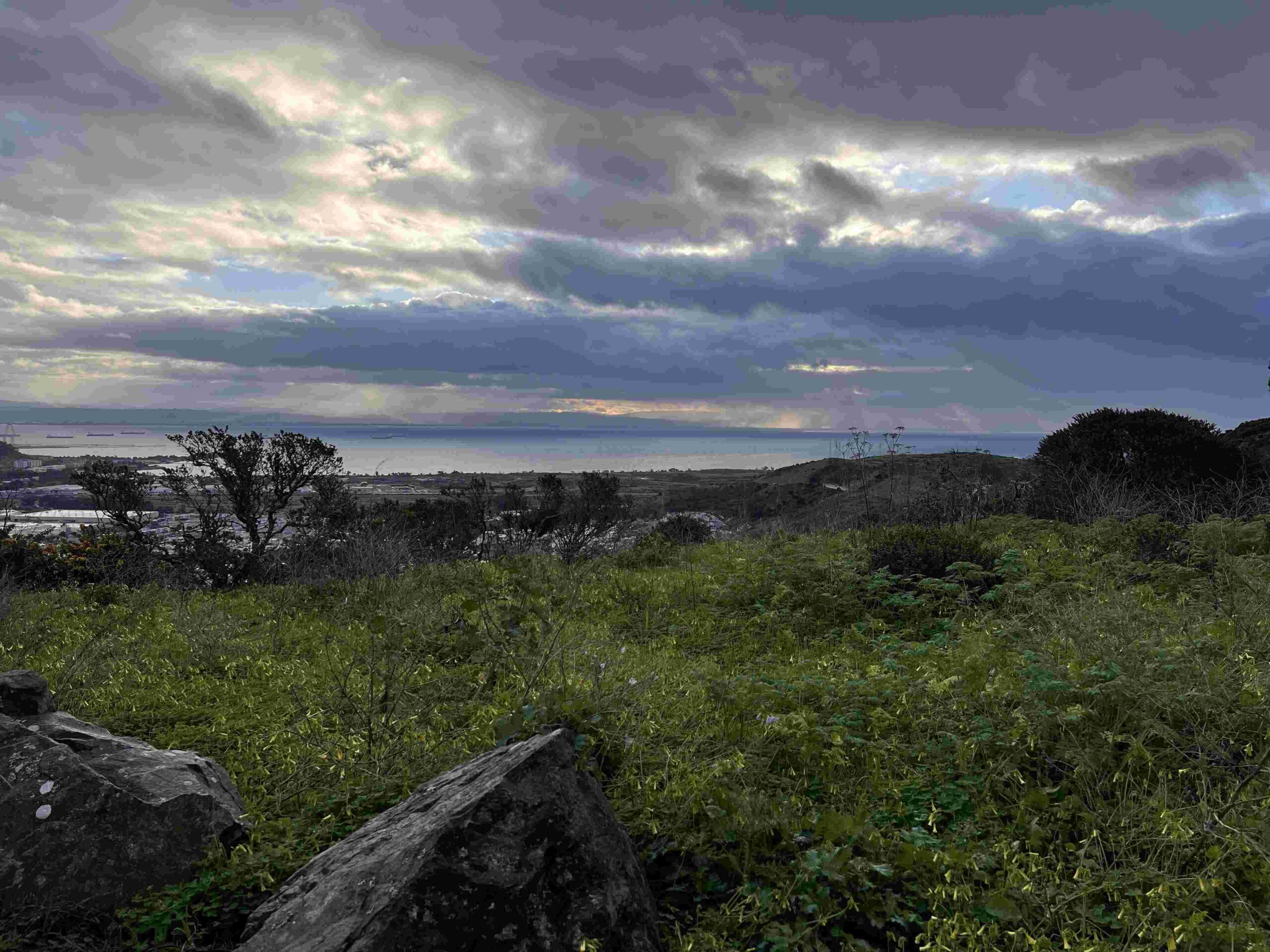
As of the County’s closure page, last updated September 8, 2026, the only listed closure was intermittent work on the Old Guadalupe Trail between markers 7 and 9 for culvert replacement, scheduled through September 27.
The County has also been carrying out fuel-reduction and invasive-plant work in the Saddle Area and elsewhere, and the County invited the public to a May 13 ribbon-cutting for an improved day-use area in the Saddle Area.
Park hours can change with weather or emergencies, so check the County’s advisories before you drive over, and see our guide to California hiking trail closures for how to read them.
Best Hiking Trails at San Bruno Mountain
San Mateo County lists about 12 miles of trails. These are the most useful routes, with distances from the County’s brochure and published trail descriptions. Trail apps may show slightly different numbers.
| Route | Distance | Level | Starts at |
|---|---|---|---|
| Summit Loop Trail | 3.1 mi loop | Moderate | Trailhead parking lot |
| San Bruno Mountain Ridge Trail | 2.4 mi one way | Moderate | Southeast ridge to the summit |
| Saddle Loop Trail | About 2.1 mi | Easy to moderate | Main parking area |
| Bog Trail | Short | Easy | Near the park entrance |
Summit Loop Trail: The Classic Climb
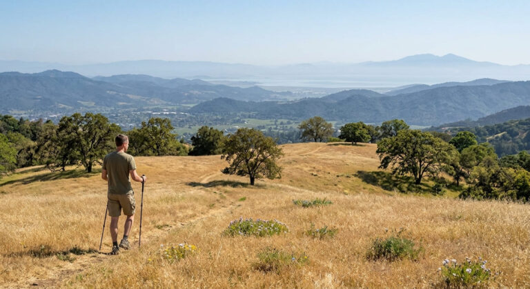
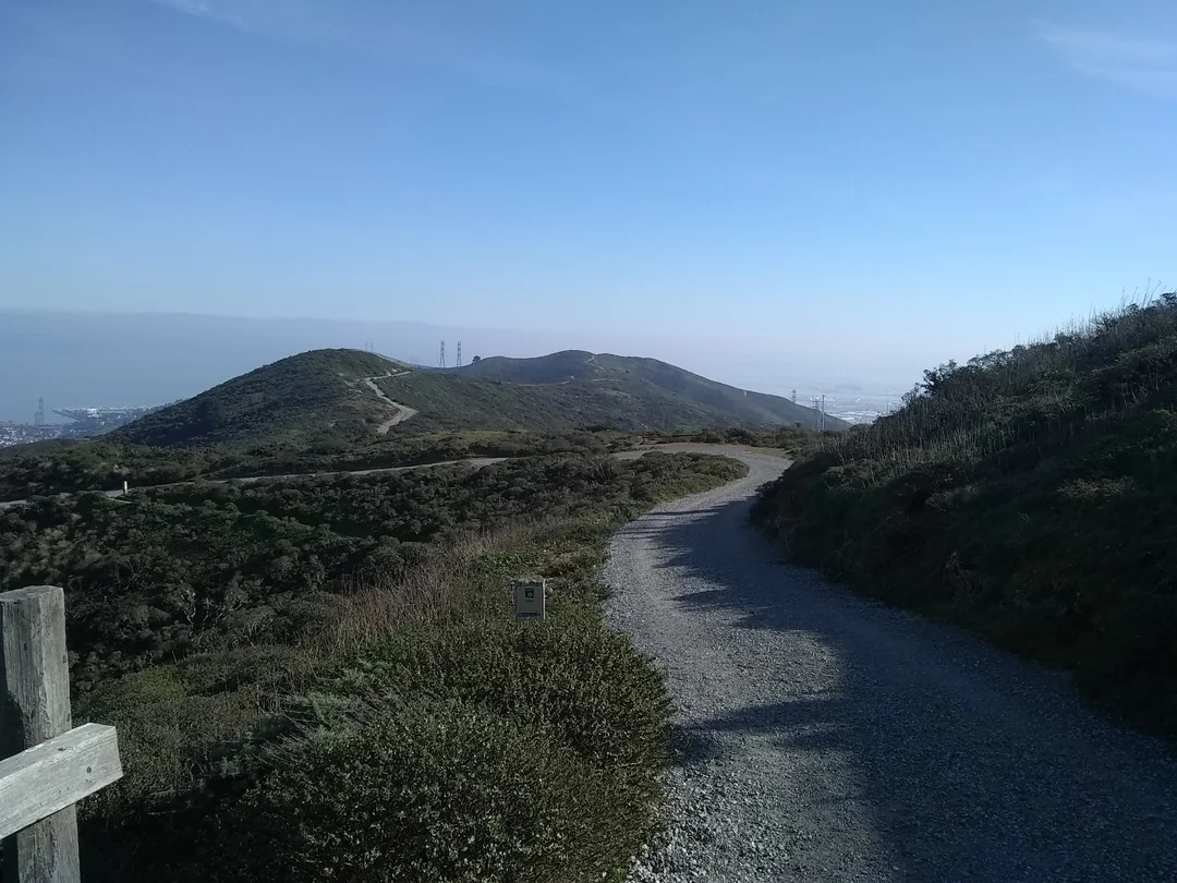
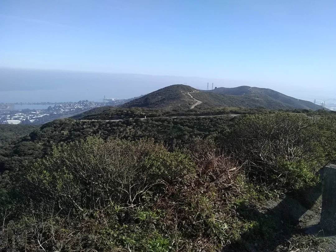
If you only hike one trail here, hike this one. The Summit Loop starts and ends at the Trailhead Parking Lot and circles up toward the peak before looping along the northwest ridge, with panoramic views of the Bay Area. Published descriptions put it at about 3.1 miles with roughly 670 to 800 feet of climbing, depending on the source.
Early on, the dirt trail crosses Radio Road and runs through osoberry and elderberry. Around 2.4 miles in, it crosses Radio Road again, and the road continues up to the summit, where utility and service vehicles work. Horses are welcome, but dogs aren’t.
San Bruno Mountain Ridge Trail: Fire Road with Big Views
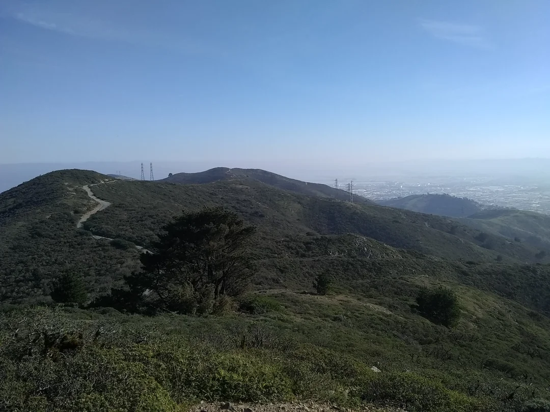
The San Bruno Mountain Ridge Trail follows the Southeast Ridge to the summit and is, according to the County, a favorite of cross-country runners. The County lists it at 2.4 miles one way, which makes it about 4.8 miles out and back.
One published account describes it as a dirt or gravel fire road that’s mostly easy, with a few steep sections, and about 560 feet of climbing round trip. Horses are welcome. If you combine the Summit Loop and the Ridge Trail, AllTrails lists a 9.5-mile route with about 1,690 feet of gain.
Saddle Loop Trail: Skyline and Marin Headlands
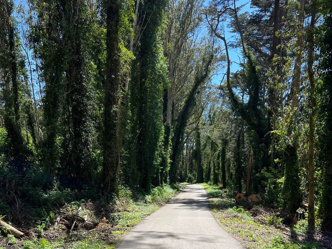
The Saddle Loop is a gravel multi-use trail with views of the San Francisco skyline and the Marin Headlands. A published description puts it at about 2.1 miles with roughly 150 feet of climbing, mostly easy except for one steep section, partly through eucalyptus and partly out on the ridge. It starts at the main parking area and shares a trailhead with the Old Guadalupe Trail.
Eucalyptus Loop, Dairy Ravine and Old Guadalupe Trail
The Eucalyptus Loop is a vigorous hike with 182 feet of elevation change through eucalyptus forest and open grass and scrub. The short Dairy Ravine Trail connects it to the Summit Loop. The paved Old Guadalupe Trail picks up at the park entrance, passes through the headwaters of Colma Creek, and welcomes horses.
The Old Ranch Road Trail is a dirt road used mainly by Brisbane residents to reach the mountain, and the Day Camp Service Road, a broad soil path, links the Edward Bacciocco Jr. group area to the parking lot near the entrance. Horses are welcome on the Old Ranch Road.
Bog Trail: The Accessible Option
The Bog Trail is a nearly flat, disability-accessible path with benches, near the park entrance. For other accessible options around the state, see our guide to wheelchair-accessible hiking trails in California.
Driving to the Summit
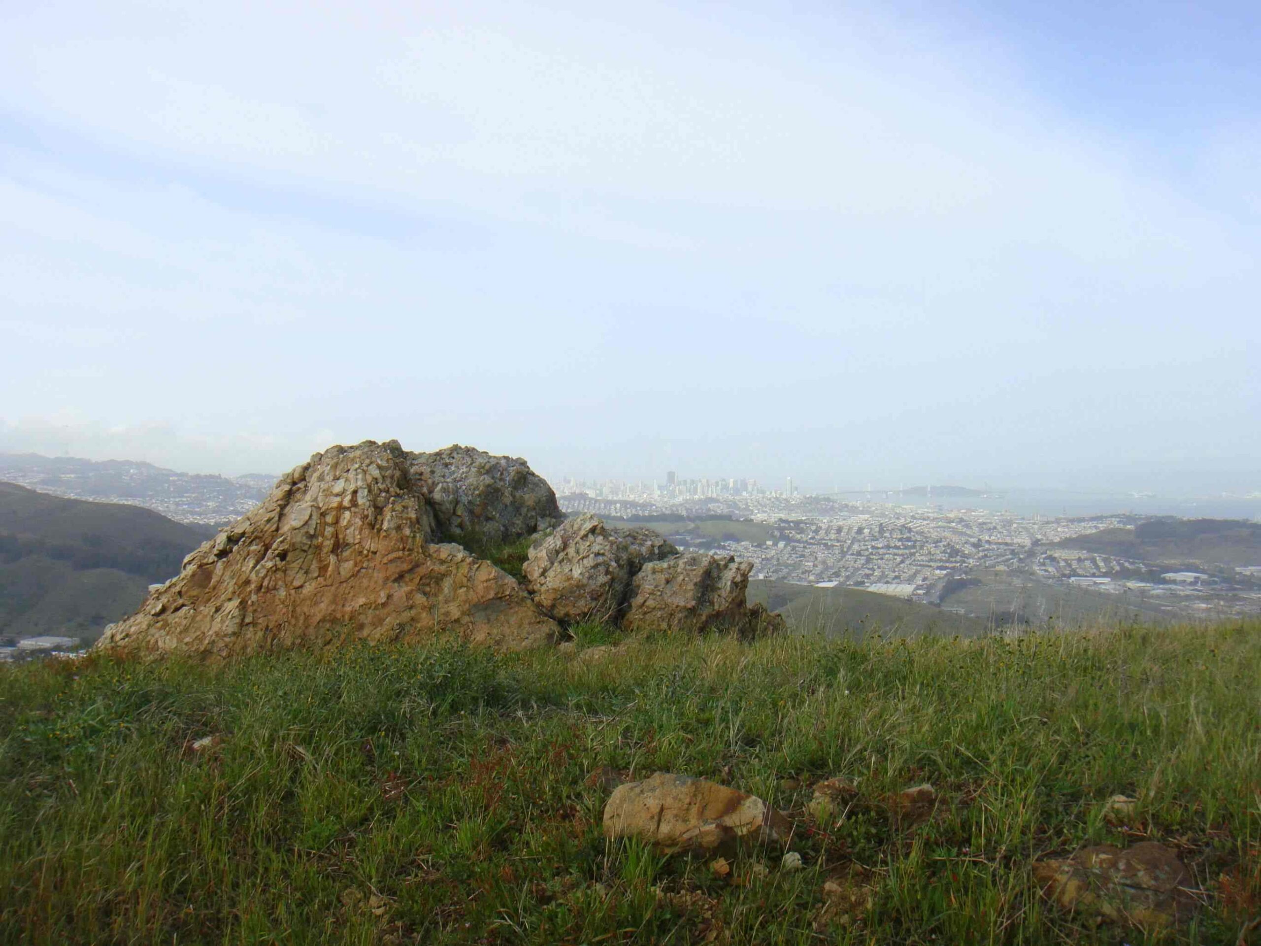
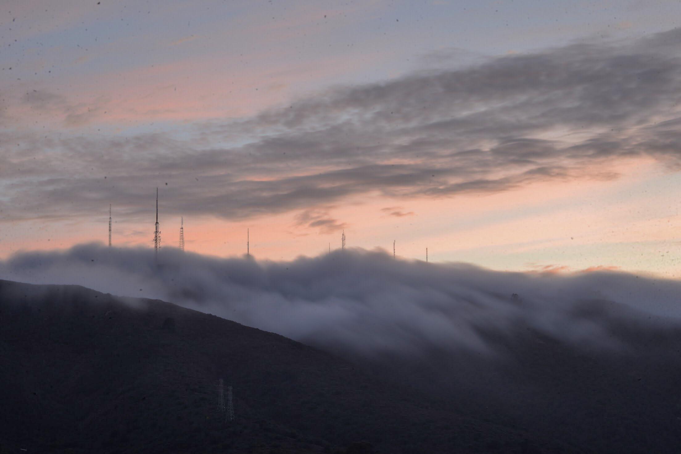
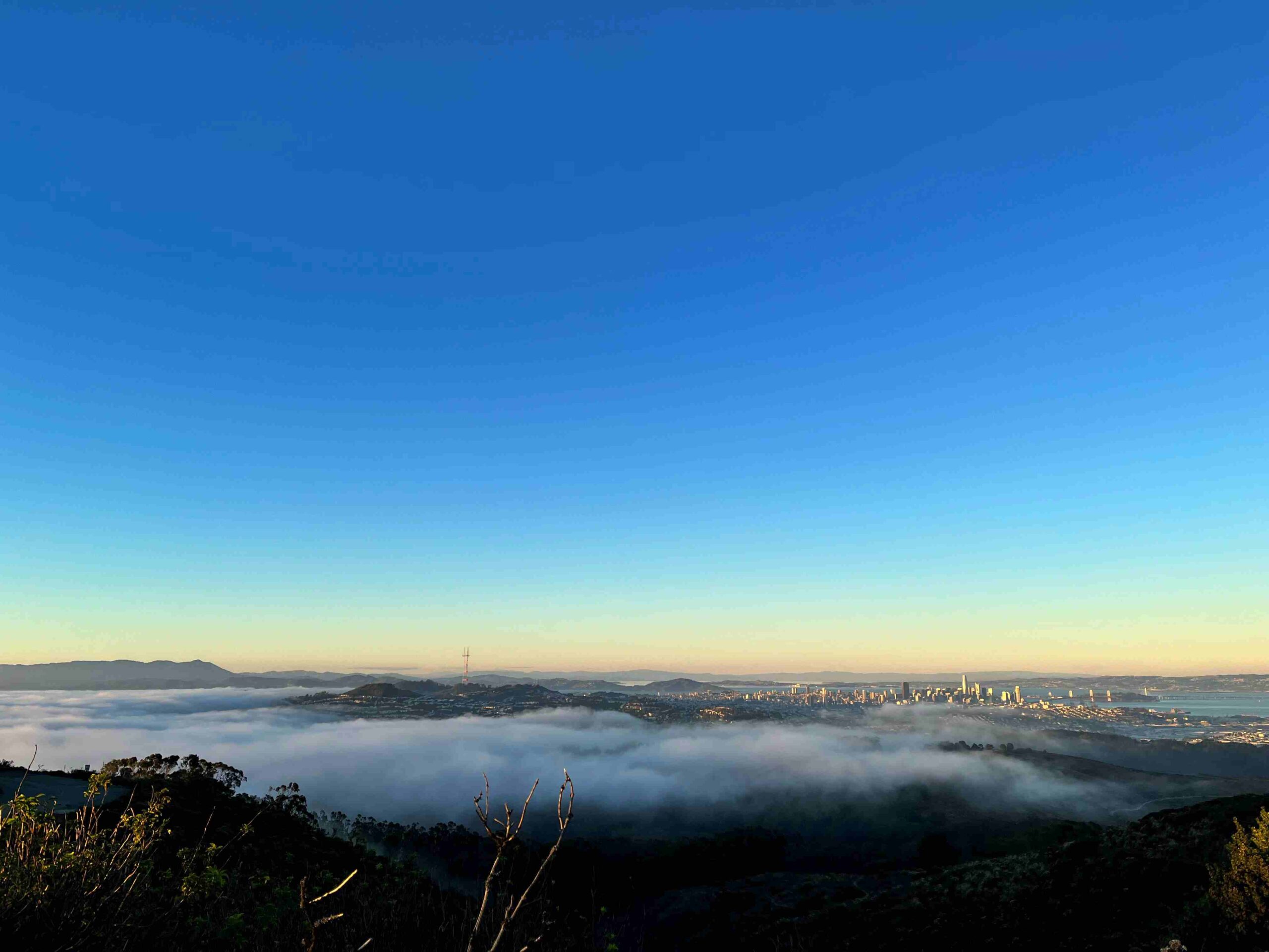
You can also skip the climb. Radio Road leads from near the main entrance up to the summit, where the views stretch north to Mount Tamalpais, east to Mount Diablo and the Oakland foothills, and west to the Farallon Islands.
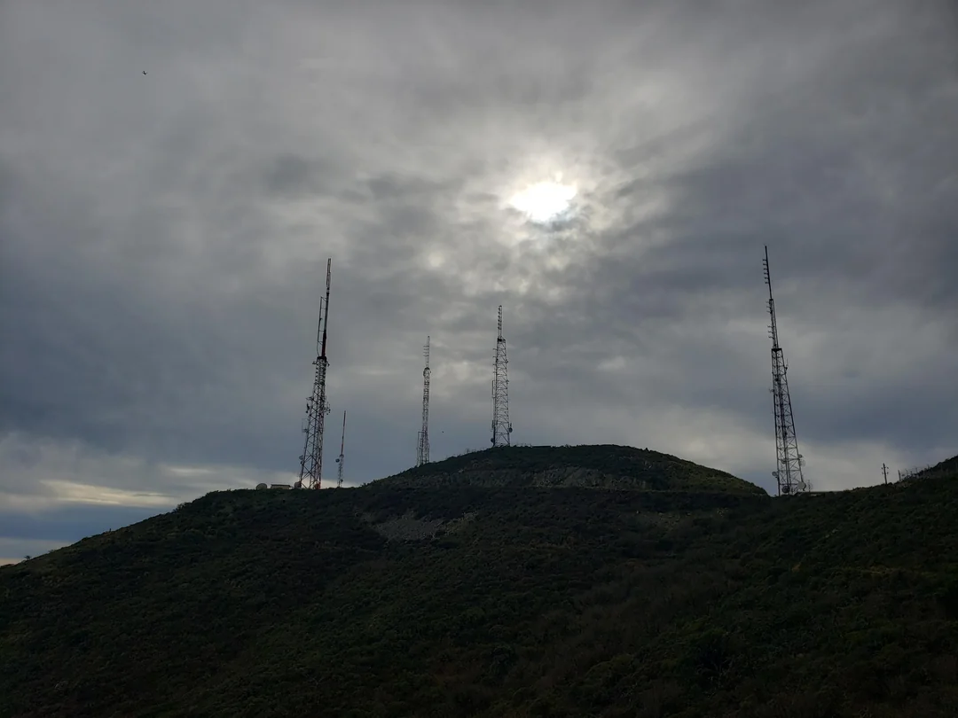
The highest point is called Radio Peak and is home to several radio broadcast towers. At the top, you can see the remains of an old Nike missile early-warning radar site. Bicycles are allowed on the paved Radio Road.
Wildflowers, Butterflies and Wildlife
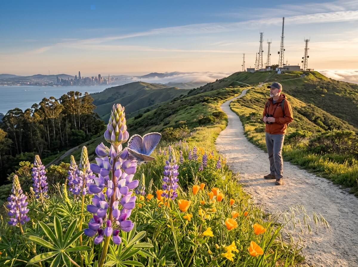
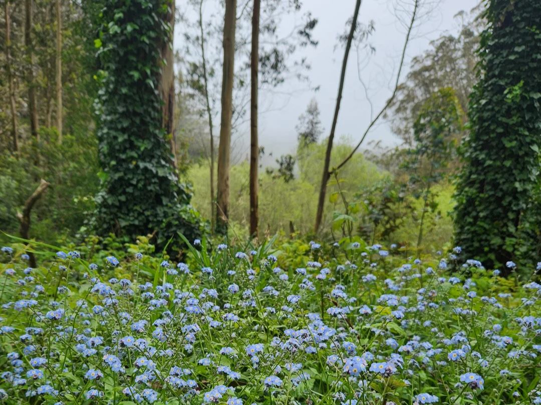
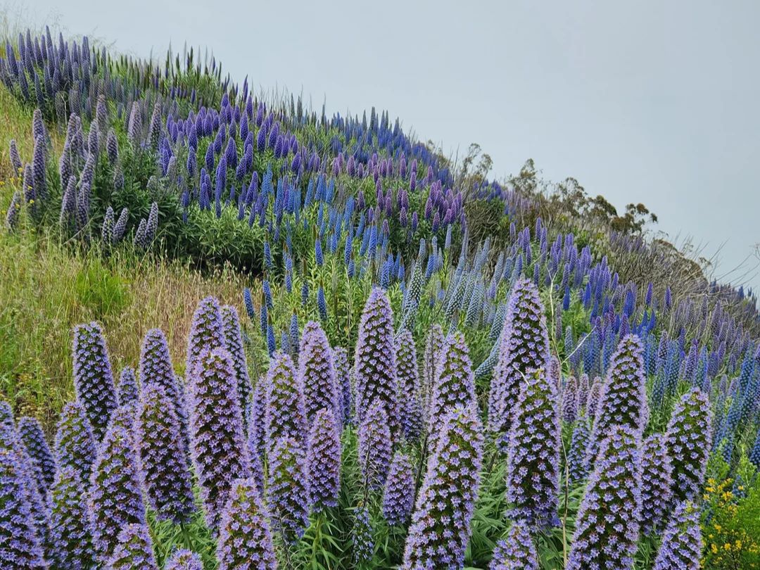
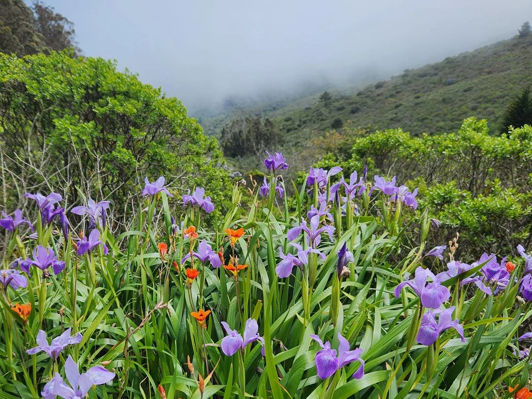
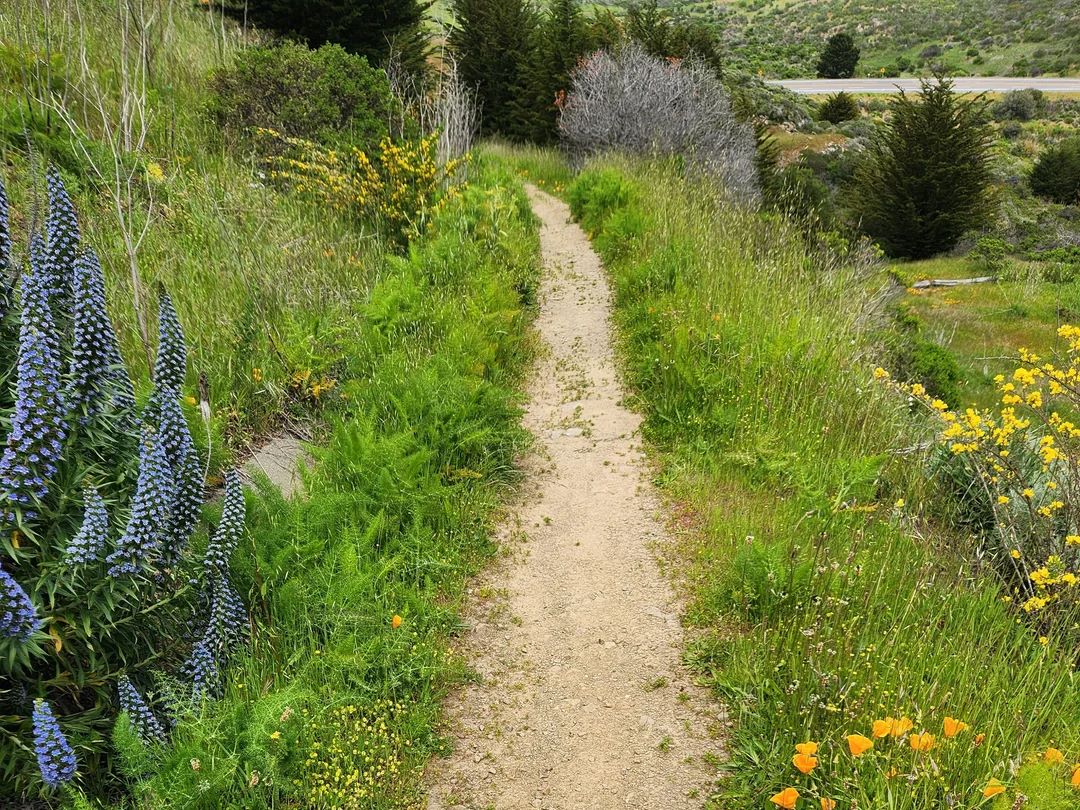
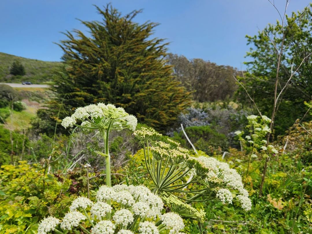
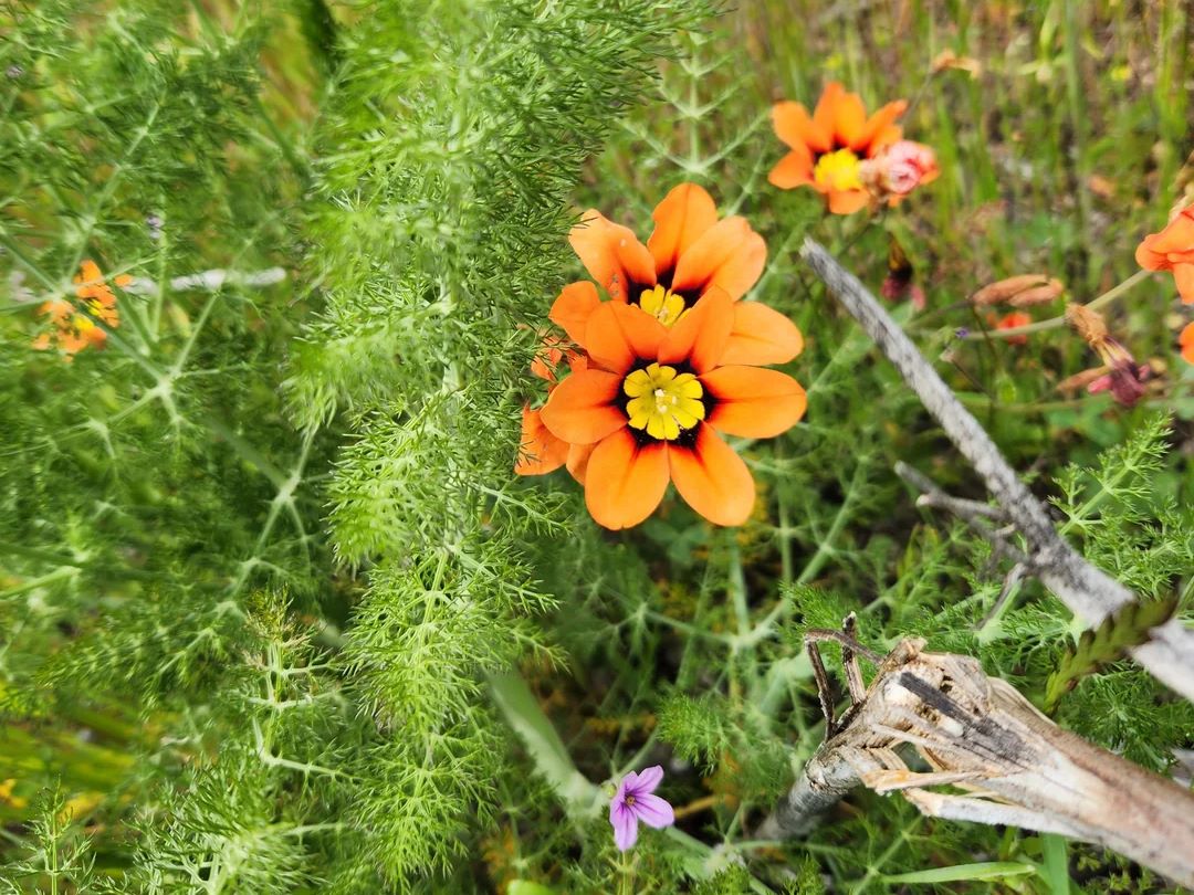
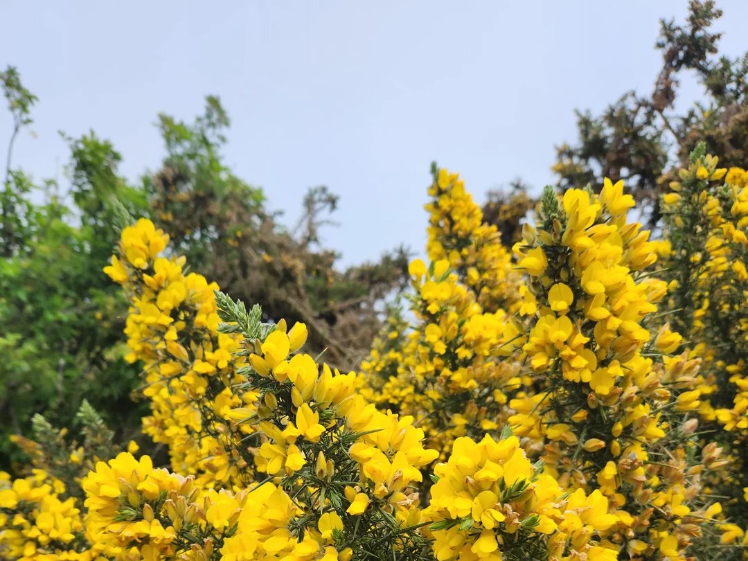
Spring is the best season to look for wildflowers on the Summit Loop and Ridge Trail, and the mountain’s lupines support the endangered Mission blue butterfly. Stay on the trail: leaving designated trails is prohibited, and so is picking wildflowers.
If you’re planning a flower-focused day, our guide to the best hiking trails in California for spring wildflowers has more ideas. The County also asks visitors not to pick or eat wild mushrooms.
Rules: Dogs, Bikes, Horses and Drones
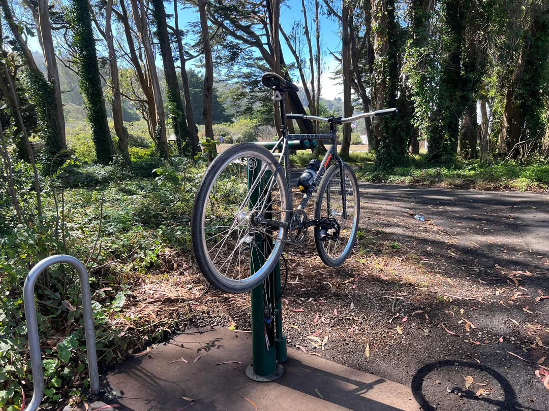
Dogs and other pets aren’t allowed in the park. If you’d like to hike with yours, our list of dog-friendly hiking trails in California has options. Motor vehicles and bicycles are permitted only on paved roadways and in established parking areas.
Horses are welcome on several trails, including the Summit Loop, Ridge Trail, Saddle Loop, Old Ranch Road, and Old Guadalupe. Drones and remote-control vehicles are prohibited, feeding wildlife is prohibited, and all plants, animals, and natural features are protected.
When Is the Best Time to Visit San Bruno Mountain?
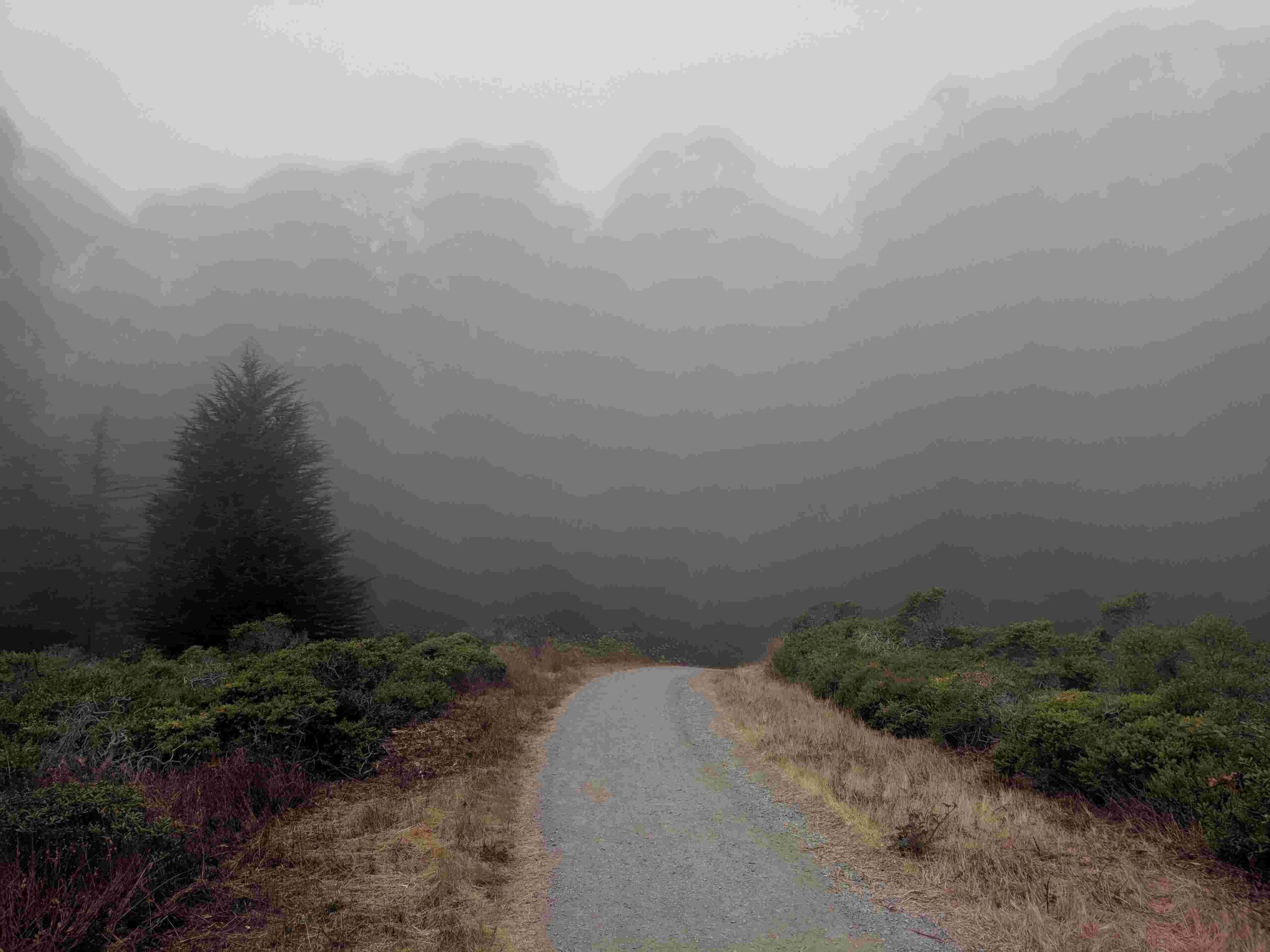
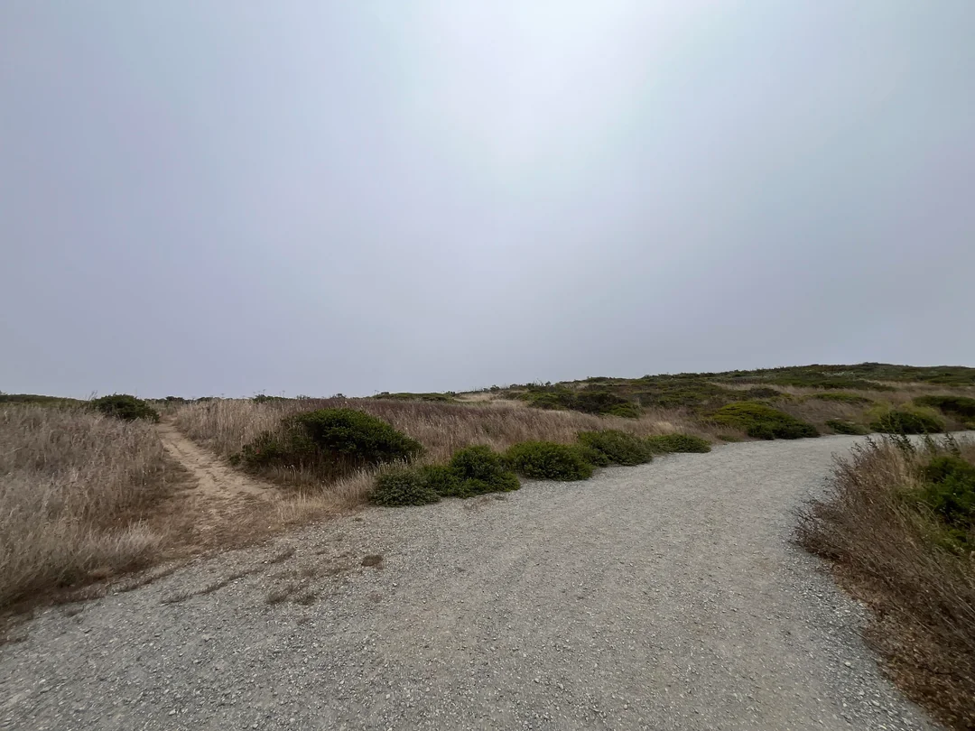
Pick a clear day. Visitors often report that the mountain attracts clouds and fog, and the exposed ridges can be windy, so bring an extra layer, a hat, and sunglasses. Spring brings wildflowers.
Park hours are firm: the park opens at 8 a.m. and closes as early as 5 p.m. in winter, so plan your hike inside that window. Our guide to weather hazards on California trails explains how to prepare for fog, wind, and heat.
Where to Go Next After San Bruno Mountain
For more of the peninsula’s hills and coast, see our guide of the best hiking trails in Pacifica and the San Mateo Coastside. To stay in the city, try the best urban hiking trails in San Francisco.
Farther south in the same mountain range, our Portola Redwoods State Park hiking and camping guide covers a redwood canyon, and our list of the best hiking trails for mountain views offers more panoramas. For the whole county, return to the San Mateo County trail guide.
Final Recommendation
Here’s the honest version: with an hour, drive or walk Radio Road to the summit and look out over the Bay. With half a day, hike the Summit Loop and add a stretch of the Ridge Trail. With a clear forecast and time to spare, link the two for the full ridge walk. Go on a day without fog, bring a windbreaker, and watch the closing time.
Frequently Asked Questions About San Bruno Mountain State Park
Is San Bruno Mountain a state park or a county park?
Both. Its official name is San Bruno Mountain State & County Park. The County and the State jointly purchased it, and San Mateo County Parks manages it. California State Parks lists it as San Bruno Mountain State Park but notes that the County operates it.
How much does it cost to park at San Bruno Mountain Park?
The entry fee is $6 per vehicle, payable at machines in the main parking lot with cash, debit, or credit. The state Annual Day Use Pass isn’t accepted.
Are dogs allowed at San Bruno Mountain State & County Park?
No. Dogs and other pets are not allowed anywhere in the park.
Can you drive to the summit of San Bruno Mountain?
Yes. Radio Road leads up to the 1,314-foot summit, which can also be reached on foot.
How long is the Summit Loop Trail?
About 3.1 miles, starting and ending at the Trailhead Parking Lot. Published descriptions list roughly 670 to 800 feet of climbing, so allow roughly two hours.
What time does San Bruno Mountain Park close?
It opens at 8 a.m. every day. Closing times vary by season: 7 p.m. through October 11, 6 p.m. from October 12 to November 1, and 5 p.m. from November 2 through February 2027.