Best Hiking Trails in San Mateo County, California
San Mateo County occupies the entire width of the Peninsula, which means its hiking runs from dramatic Pacific bluffs on one side to a chain of protected open space preserves along the Santa Cruz Mountains spine, down to flat bayside reservoir trails on the other, all within a county that’s genuinely walkable end to end in a single well-planned week. It’s also one of the most search-heavy counties in this entire series, driven almost entirely by Pacifica’s cluster of coastal trails just fifteen minutes from San Francisco. Exploring the diverse Hiking Trails in San Mateo County offers an unparalleled look at Northern California’s coastal and mountain geography.
Disclosure: Please note that some of the links below are affiliate links and at no additional cost to you, I may earn a commission. Know that I only recommend hiking gear I personally stand behind; when you use my affiliate links, it helps me run this blog and keep all of this content free of charge for readers (like you).
Key takeaways
- San Mateo County has three hiking zones: the Coastside around Pacifica and Half Moon Bay, the Santa Cruz Mountains spine of open space preserves, and the Crystal Springs/bayside reservoir trails.
- Pacifica’s trail network is genuinely one of the highest-demand hiking searches in the entire dataset; Mori Point, Devil’s Slide, and Sweeney Ridge all sit within a few miles of each other.
- Devil’s Slide Trail is a converted stretch of old Highway 1, closed to vehicles in 2013 after the Tom Lantos Tunnels opened, then reopened as a paved hiking and biking trail in 2014.
- Sweeney Ridge is where Gaspar de Portolá’s expedition first sighted San Francisco Bay in 1769, a genuine site of California history, not just a good view.
- Nearly every trail covered here is completely free, since Midpeninsula Regional Open Space District preserves and most county and GGNRA land charge no entrance fee at all.
Related
- San Bruno Mountain Hiking Guide
- Portola Redwoods State Park Hiking & Camping Guide
- 5 Best Hiking Trails in Pacifica, San Mateo County
- 5 Best Hiking Trails in the San Mateo Coastside
Why San Mateo County is the Bay Area’s best peninsula hiking county
Few Bay Area counties give you ocean bluffs, redwood canyons, and flat reservoir trails within the same short drive. San Mateo County’s geography, a narrow peninsula running from bay to ocean, makes that range possible in a way wider counties simply can’t match.
San Mateo County’s three hiking zones
The Coastside covers Pacifica, Devil’s Slide, Pillar Point, Half Moon Bay, and Año Nuevo State Reserve, all strung along Highway 1 and delivering the county’s most dramatic scenery.
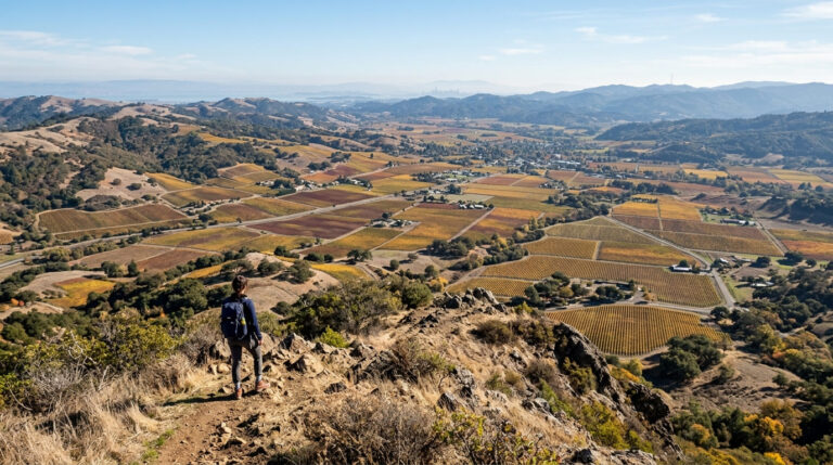
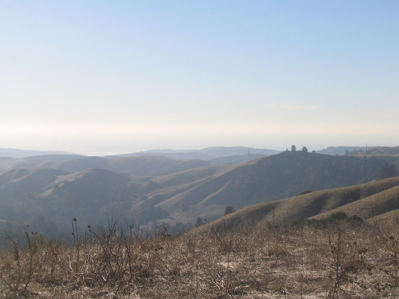
The Santa Cruz Mountains spine holds the Midpeninsula Regional Open Space District’s preserves, Purisima Creek Redwoods, Russian Ridge, Windy Hill, El Corte de Madera, and Rancho San Antonio among them, spanning 65,000 acres and over 250 miles of trail, one of the largest open space networks anywhere in the Bay Area.
Crystal Springs and the bay side round things out with flatter, more accessible trails like Sawyer Camp and Edgewood County Park, a genuinely different pace than the coastal bluffs or mountain ridgelines, and a good pick on a day when you want mileage without the climbing.
Best hiking trails in Pacifica, San Mateo County
Pacifica’s trail network pulls some of the highest search demand of any city-specific hiking destination in this entire county series, and it earns that attention with a genuinely dense cluster of coastal hikes within a few miles of each other.
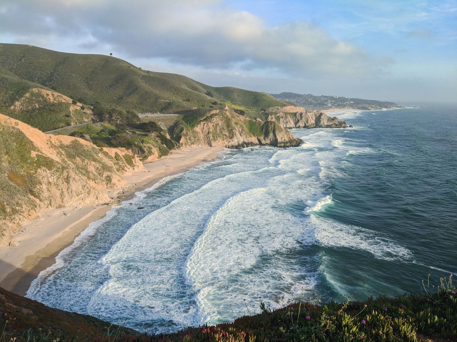
Mori Point Trail: Pacifica’s best coastal bluff and wildflower hike
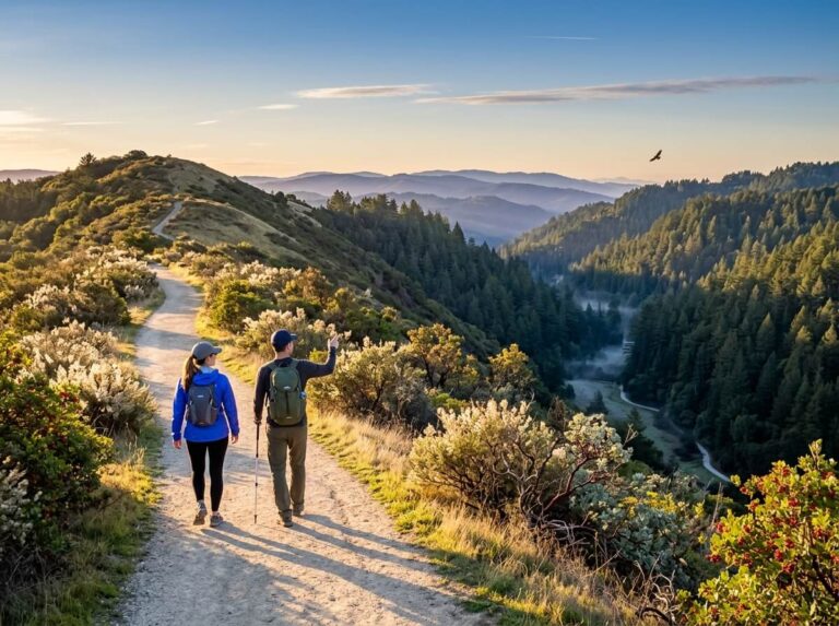
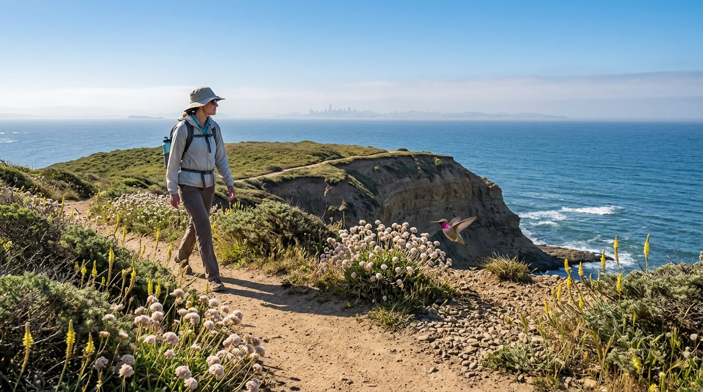
This 2-mile loop climbs a dramatic Pacific bluff with the San Francisco skyline visible on a clear day, and doubles as protected habitat for the endangered San Francisco garter snake. Stay on the established trail, since off-trail wandering here has real conservation consequences beyond the usual erosion concerns.
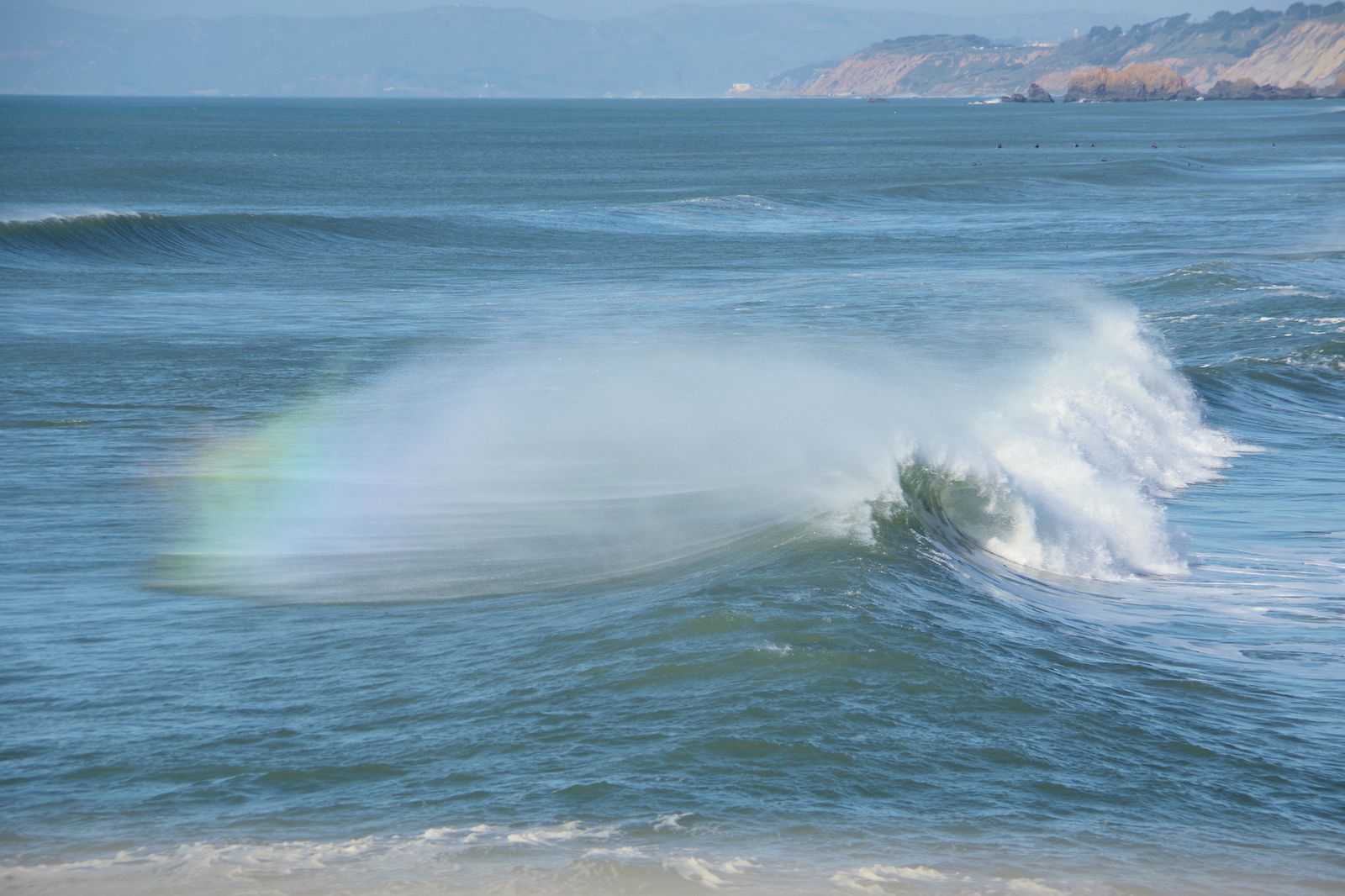
Coast buckwheat and lizardtail bloom in spring, adding color to what’s already one of the most rewarding short hikes in the county. It’s free with no reservation required, though parking on Bradford Way is limited enough that an early arrival pays off on weekends.
Devil’s Slide Trail: San Mateo County’s most dramatic coastal path
This 1.3-mile trail (2.6 miles round trip) runs along a former stretch of Highway 1 that was permanently closed to vehicles in 2013 once the Tom Lantos Tunnels opened, then reopened the following year as a paved trail for hikers, cyclists, and equestrians.
The views are what you’d expect from a road built into a cliff face 300 ft above the Pacific, genuinely dramatic, with whale and harbor seal sightings a regular bonus, plus interpretive signs along the way covering the site’s decades of landslide-plagued highway history.
There’s no vehicle access to the trail itself, and unlike a lot of Bay Area hiking destinations, leashed dogs are welcome here. It connects onward to the Montara Mountain trail network for anyone wanting to extend the day, and parking lots at both ends fill up fast on weekends, so a weekday or early-morning visit is worth the trade-off.
Sweeney Ridge: San Mateo County’s best summit with bay and ocean views
At 7 miles round trip with about 1,200 ft of gain from the Skyline College trailhead, Sweeney Ridge delivers something genuinely rare: simultaneous views of San Francisco Bay and the Pacific Ocean from the same ridge.
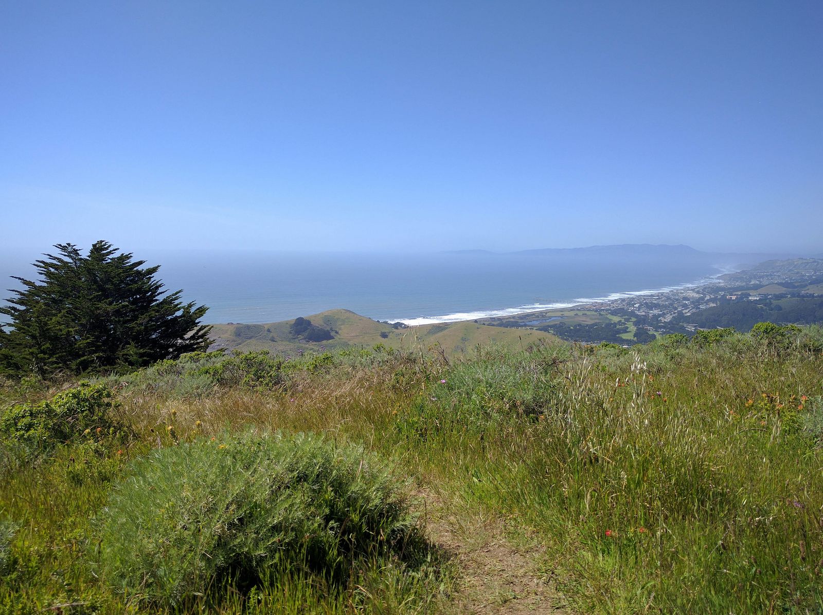
It’s also a real historical site; this is where Gaspar de Portolá’s 1769 Spanish expedition first sighted San Francisco Bay, a discovery that reshaped the course of California’s colonial history. It’s free, part of the Golden Gate National Recreation Area, and requires no reservation.
Best hiking trails in Purisima Creek Redwoods, San Mateo County
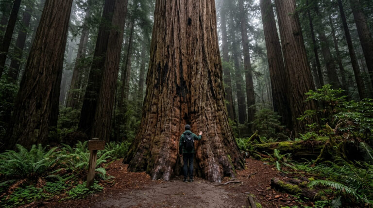
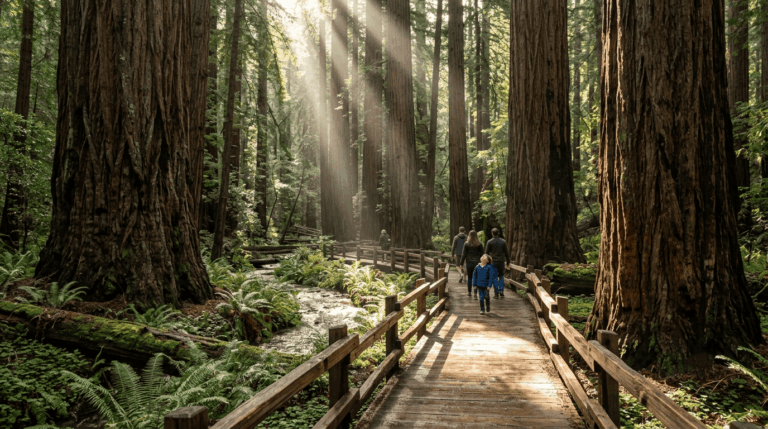
At 4,787 acres, Purisima Creek Redwoods Open Space Preserve holds both old-growth and second-growth coast redwoods, accessible from either Skyline Boulevard above or Half Moon Bay below. Skyline Boulevard is also the shared ridge boundary with the hiking trails in Santa Clara County, the preserve’s neighbor on the other side of the mountains.
Purisima Creek to Harkins Ridge Loop: San Mateo’s best redwood circuit hike
This 8.7-mile loop with about 1,600 ft of gain combines a shaded creek canyon lined with old-growth redwoods on the way down with an open ridge delivering Pacific Ocean views on the way back up, a genuinely varied circuit rather than a single-character hike.
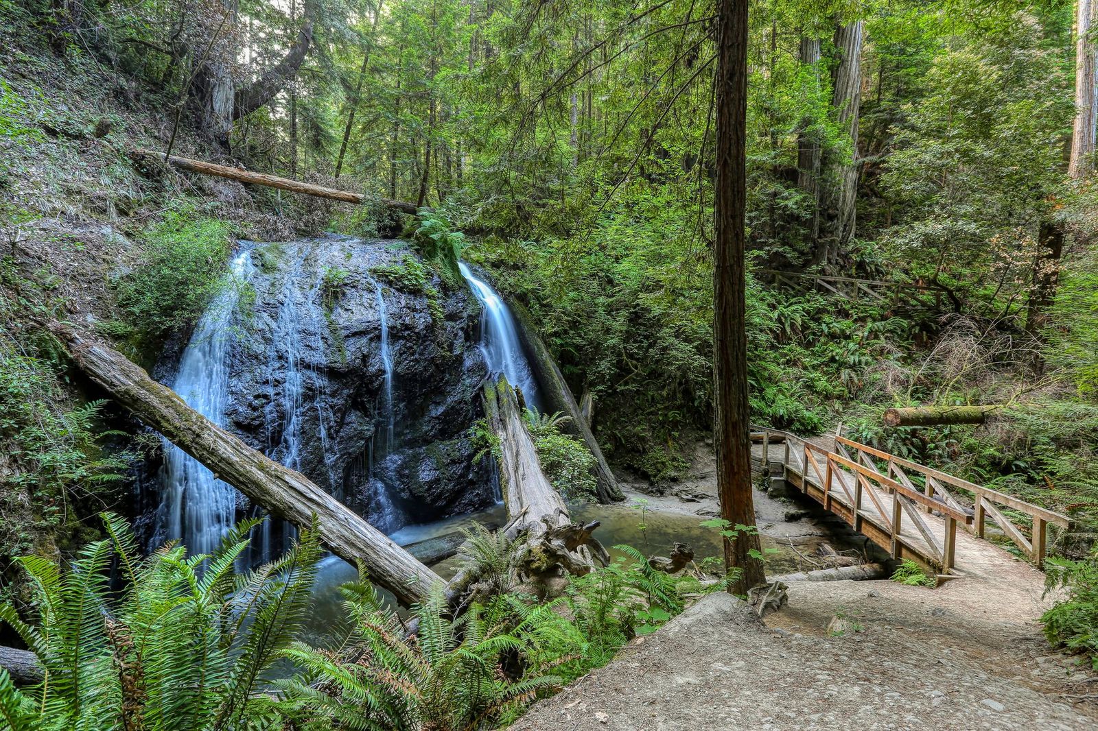
Spring brings wildflowers to the ridge sections, and two trailhead options, Skyline Boulevard or Higgins-Purisima Road, let you start from whichever side of the preserve is more convenient. Like most Midpeninsula Regional Open Space District land, it’s free with no reservation required.
Best hiking trails along the San Mateo coast and Half Moon Bay
South of Pacifica, the coastline trades dramatic bluffs for a string of state beaches and quieter bluff-top walks, with Half Moon Bay as the natural hub.
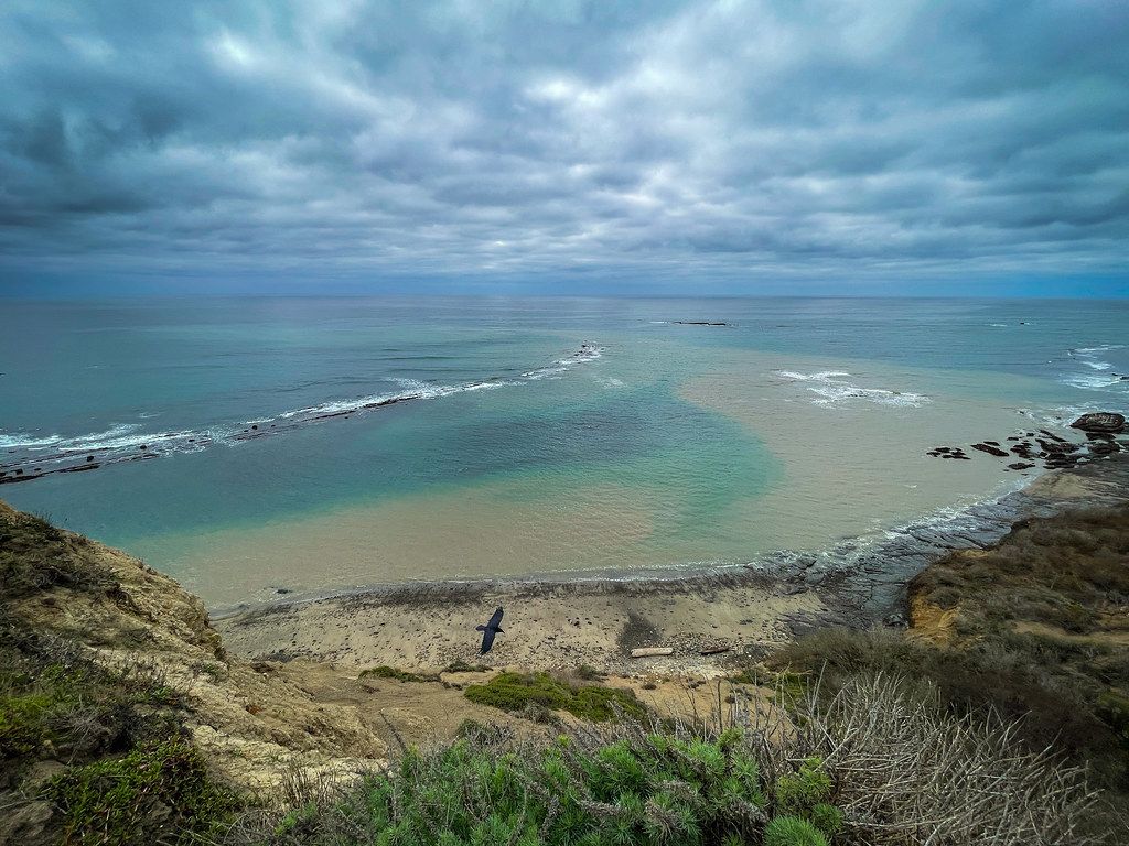
Pillar Point Bluff offers an easy coastal walk with a genuine whale-watching platform and harbor seals visible below, while Half Moon Bay State Beach and the trails at Bean Hollow and Pescadero extend the coastal options further south toward Año Nuevo.
The California Coastal Trail runs through this stretch too, though it exists in unconnected sections between Pacifica and Santa Cruz rather than one continuous path, worth knowing before you plan a longer through-hike along it.
Sawyer Camp Trail: San Mateo’s best easy lakeside trail
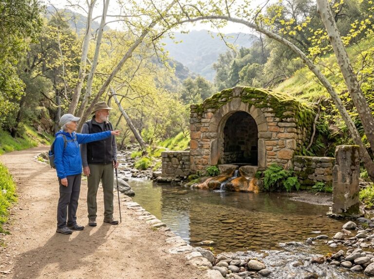
This 6-mile, one-way paved trail follows Crystal Springs Reservoir and San Andreas Lake on flat terrain the entire way, popular with both walkers and cyclists and connecting into the broader Bay Area Ridge Trail network for anyone wanting to keep going past its endpoints.
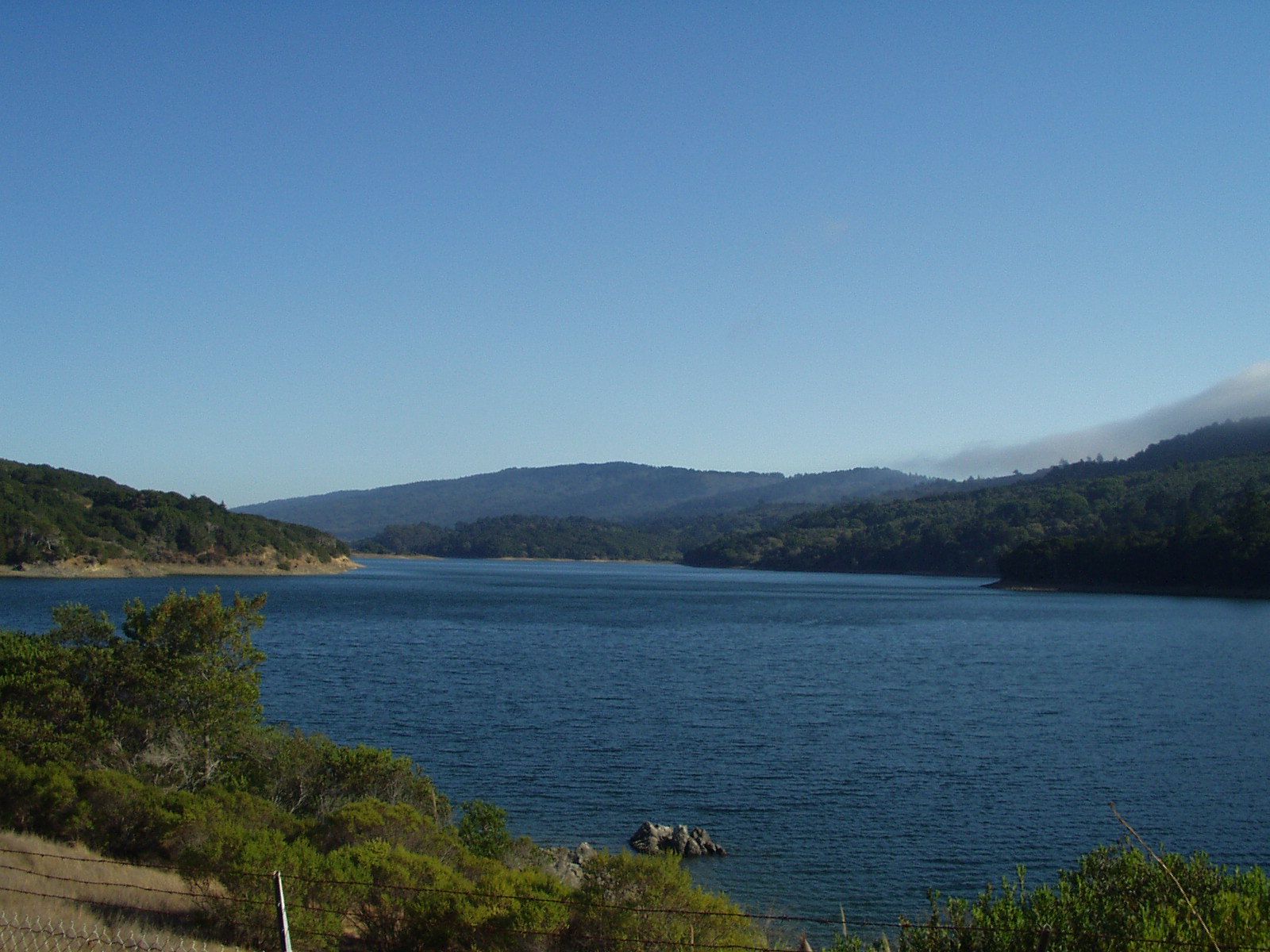
The Jepson Laurel along the route is the oldest tree in the county, and the trail’s popularity on weekends is real; arrive early if you want the parking lot and a less crowded path.
It’s free with no reservation needed, and its flat, paved surface makes it one of the most consistently family- and stroller-friendly options anywhere in this county, a strong contrast to the elevation gain that defines most of San Mateo County’s other signature hikes.
San Mateo County rewards picking a zone that matches your mood rather than trying to force one trail to deliver everything; Pacifica’s coastal drama, Purisima Creek’s redwood canyon, and Sawyer Camp’s flat bayside pace are three genuinely different hiking experiences inside one county.
Start with Mori Point or Devil’s Slide if it’s your first visit, and build toward the longer Purisima Creek loop once you’ve got a feel for how quickly this county’s character changes from one zone to the next. Few Bay Area counties let a single day trip run from ocean bluff to redwood canyon to flat reservoir path without much more than half an hour of driving between any of them.
Frequently asked questions about hiking trails in San Mateo County
What are the best hiking trails in Pacifica, California?
Mori Point, Devil’s Slide Trail, and Sweeney Ridge are the three standouts, all within a few miles of each other and all free with no reservation required. Mori Point is the best short option, Devil’s Slide the most dramatic, and Sweeney Ridge the best summit view.
Is the Devil’s Slide trail in Pacifica open, and how long is it?
Yes, it’s open year-round, 1.3 miles one-way (2.6 miles round trip) along a former stretch of Highway 1 that was closed to vehicles in 2013 and reopened as a trail in 2014. There’s no vehicle access to the trail itself, only pedestrian and bike entry from parking lots on either end.
Are there free hiking trails in San Mateo County?
Yes, nearly all of them, Midpeninsula Regional Open Space District preserves like Purisima Creek Redwoods, along with most county parks and GGNRA land like Sweeney Ridge and Devil’s Slide, charge no entrance fee at all. It’s one of the more budget-friendly Bay Area counties for hiking specifically because of that.
What hiking trails are near Half Moon Bay, California?
Pillar Point Bluff offers an easy coastal walk with whale-watching potential, and Half Moon Bay State Beach along with the Bean Hollow and Pescadero trails extend the coastal options further south toward Año Nuevo. Purisima Creek Redwoods is also reachable from the Half Moon Bay side for a redwood-canyon alternative to the coastline.
What are the best redwood hiking trails in San Mateo County?
Purisima Creek Redwoods Open Space Preserve is the clear standout, with the Purisima Creek to Harkins Ridge Loop combining old-growth canyon forest with open ridge views in one 8.7-mile circuit. It’s accessible from either Skyline Boulevard or the Half Moon Bay side.
How far is Pacifica hiking from San Francisco?
About 15 minutes by car, which makes Pacifica one of the most accessible serious coastal hiking destinations for anyone based in San Francisco. That proximity is a big part of why its trails see some of the heaviest search demand of any city-specific destination in this county.