Hiking Trails in San Francisco, California
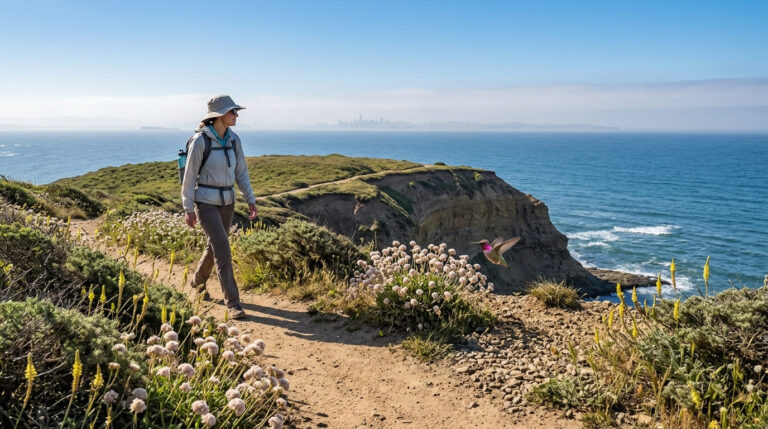
San Francisco packs a surprising amount of Hiking Trails in San Francisco into just 7 by 7 miles: coastal cliffs, a eucalyptus forest that feels nothing like the rest of the city, and a 360-degree summit view, all reachable by public transit without ever needing a car. Most visitors see the city from a cable car or a walking tour of downtown and never realize how much real trail sits just outside the tourist core. Here’s the real trail network hiding inside one of America’s most walkable cities.
Disclosure: Please note that some of the links below are affiliate links and at no additional cost to you, I may earn a commission. Know that I only recommend hiking gear I personally stand behind; when you use my affiliate links, it helps me run this blog and keep all of this content free of charge for readers (like you).
Key takeaways
- San Francisco holds six distinct urban hiking zones: the Presidio, Lands End/Ocean Beach, Golden Gate Park, Twin Peaks/Corona Heights, Mount Sutro, and McLaren Park/Bernal Heights, though most visitors only ever see one or two of them.
- Nearly all San Francisco hiking is free: GGNRA land, city-managed parks, and open space reserves require no fee or reservation for standard day hiking.
- The Presidio alone covers nearly 1,500 acres of GGNRA land, a former military base converted into a national park with coastal and forest trails.
- Lands End’s Coastal Trail delivers some of the most dramatic urban cliff scenery in the country, passing the hauntingly photogenic Sutro Baths ruins.
- Twin Peaks reaches about 922 ft, the second-highest natural point in the city, with a 360-degree panorama reachable by a short walk or a short drive.
- Fog timing matters more than season for clear views: October through January tends to deliver the most reliably fog-free mornings citywide.
Related
Why San Francisco has more hiking than most cities its size
Despite being just 7 by 7 miles, San Francisco packs in hiking variety across GGNRA land (the Presidio, Lands End, Fort Funston), Golden Gate Park’s 1,017 acres, Twin Peaks, Mount Sutro Open Space Reserve, McLaren Park, and Bernal Heights, a level of trail density that is rare for a city this compact and unusual among major US cities of any size. That same peninsula trail network continues south into the hiking trails in San Mateo County, San Francisco’s only land-border neighbor.
San Francisco’s six urban hiking zones
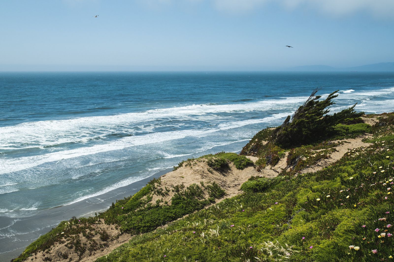
The Presidio covers nearly 1,500 acres of GGNRA land with trails ranging from coastal bluffs to historic forest paths, making it the single largest contiguous hiking zone within city limits. Lands End and Ocean Beach add dramatic coastal cliffs and the Sutro Baths ruins, some of the most photographed trail scenery in the entire Bay Area.
Golden Gate Park’s 1,017 acres include Strawberry Hill and the linear Panhandle trail, a more manicured, garden-like hiking experience than the coastal zones. Twin Peaks and Corona Heights deliver the city’s best panoramic views from its rocky center, reachable without a car for anyone staying centrally.
Mount Sutro and the UCSF Open Space Reserve add a eucalyptus forest zone that sits in fog nearly year-round, a completely different microclimate from the rest of the city. McLaren Park and Bernal Heights round out the southern end of the city with quieter, more neighborhood-scale trails that draw far fewer visitors than the northern zones.
Best hiking trails in the Presidio, San Francisco
The Presidio, a former Army base converted into national parkland, blends historic military structures with coastal and forest trail variety across its nearly 1,500 acres, making it one of the most successful base-to-parkland conversions anywhere in the National Park System. The Presidio’s own coastal trails connect visually across the strait to the hiking trails in Marin County, visible from nearly every bluff viewpoint in this zone.
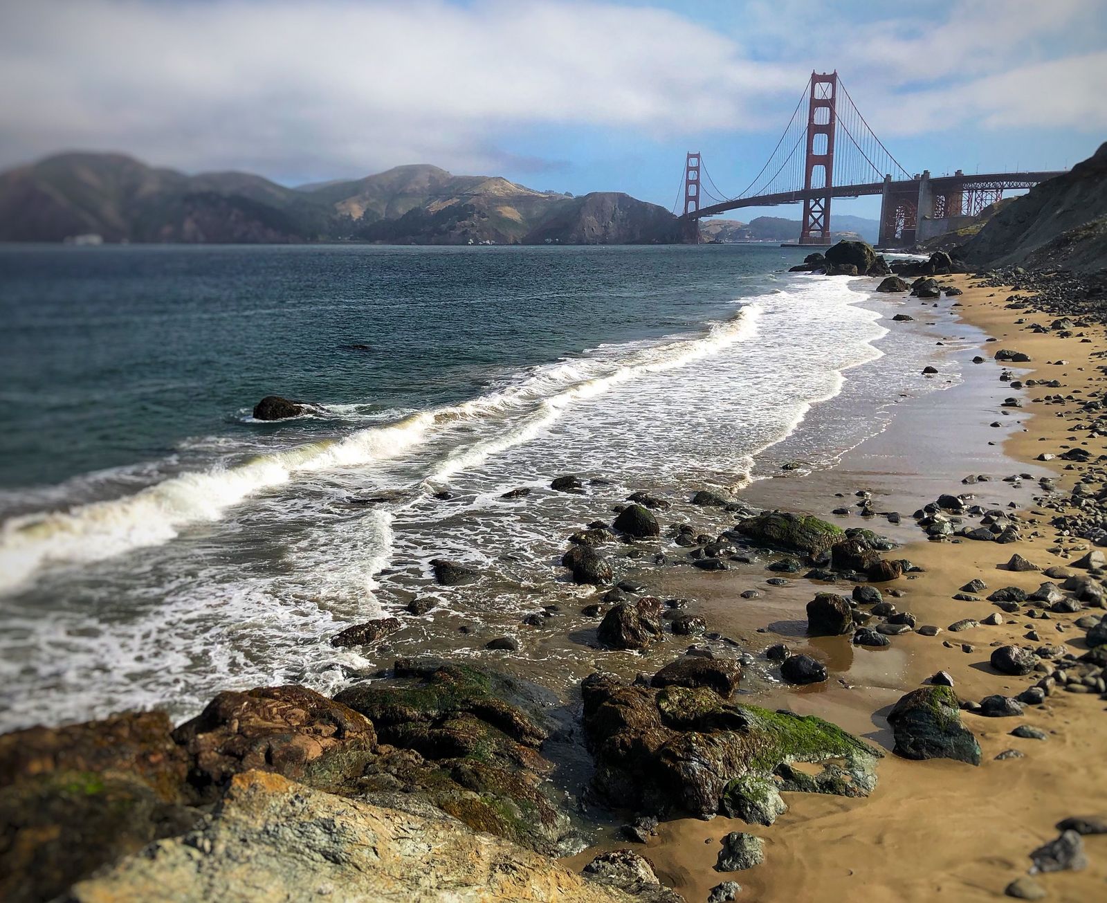
Batteries to Bluffs Trail: the Presidio’s best coastal cliffs hike
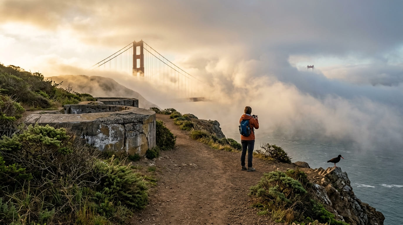
A 0.7-mile one-way Batteries to Bluffs Trail runs from Baker Beach to a Golden Gate Bridge viewpoint, passing Civil War-era gun battery ruins along dramatic coastal cliffs that feel far more rugged than most people expect from a hike inside city limits. Access is free through GGNRA, and it connects directly to a bridge viewpoint at its south end, making it a natural add-on for anyone already planning to see the bridge. The north end of Baker Beach has a long-standing informal clothing-optional custom among regular visitors, not universal but common enough to mention.
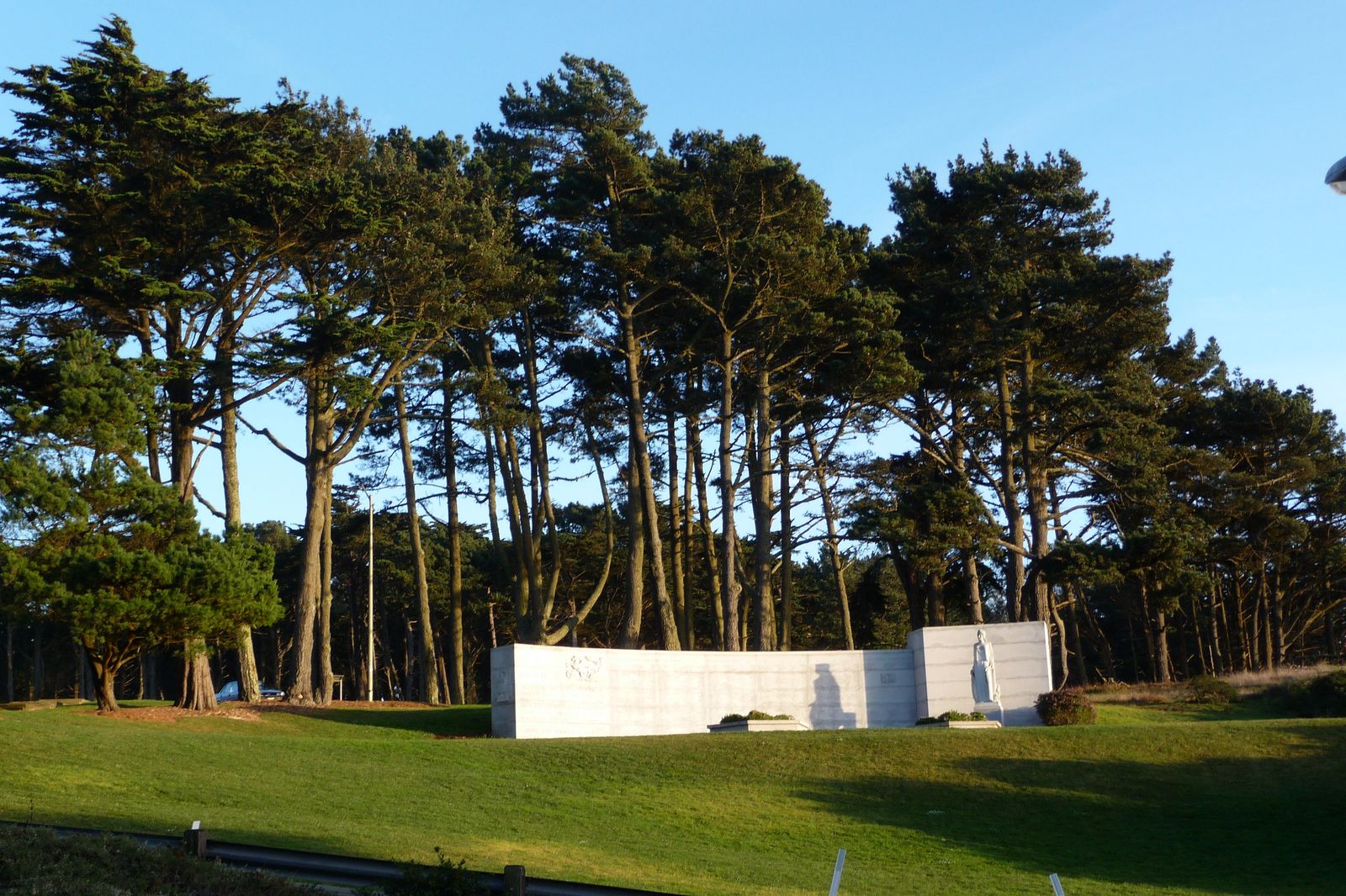
Lovers Lane: the Presidio’s most historic and romantic hike
A 0.6-mile one-way trail through eucalyptus forest, believed to be the oldest continuously used footpath in San Francisco, predating the 1906 earthquake by decades. It connects the Presidio’s main post to the Presidio Heights neighborhood, flat and shaded the entire way, and links to El Polin Spring, a natural freshwater spring and historic Ohlone site, for hikers who want to extend the walk slightly. The shade and gentle grade make this one of the most reliably pleasant walks in the city regardless of season.
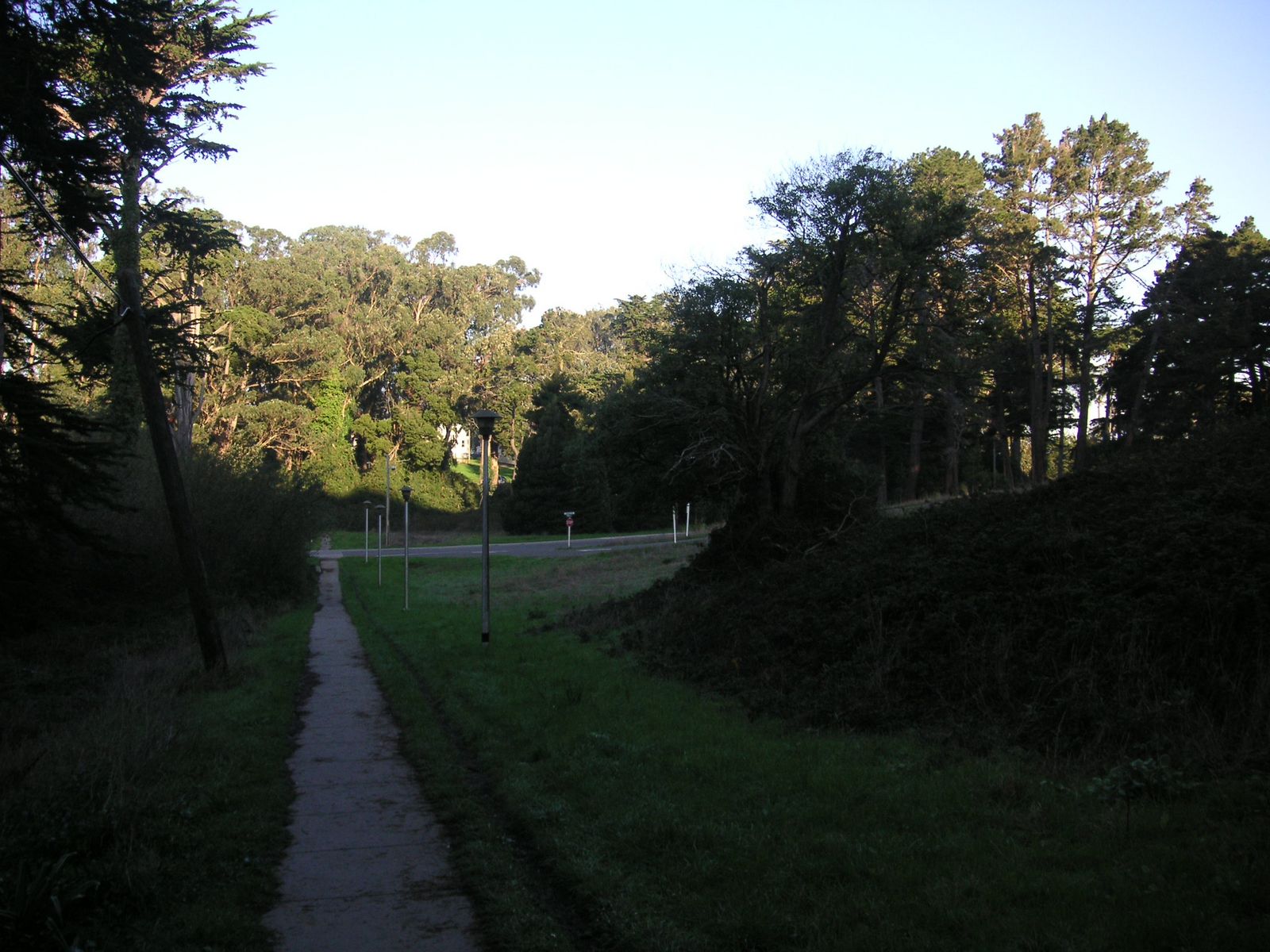
Best hiking trails at Lands End, San Francisco
Lands End occupies the city’s northwest corner, where GGNRA coastline meets some of the most dramatic cliff scenery anywhere on the urban Pacific coast.
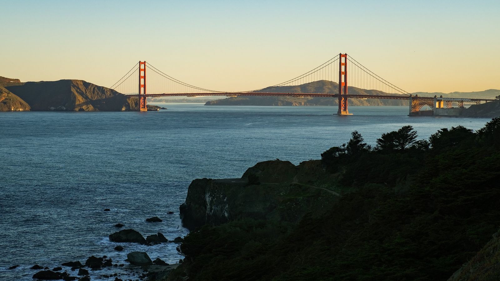
Lands End Coastal Trail: San Francisco’s most dramatic urban coastal hike
A roughly 1.5-mile one-way trail from the Sutro Baths trailhead through Lands End to Eagles’ Point, tracing genuine Pacific Ocean cliffs with Marin Headlands views and a Golden Gate Bridge approach near the end.
The Sutro Baths ruins, a once-grand 1896 bathhouse that burned in 1966, sit right at the trailhead, and a cliffside labyrinth, rebuilt by volunteers over the years, adds an unusual stop along the way that most first-time visitors don’t expect to find.
It’s free GGNRA access with no reservation, open year-round, though summer fog is a real factor here more than almost anywhere else in the city, sometimes reducing visibility to a fraction of what a clear day delivers.
Best hiking trails at Twin Peaks and Corona Heights, San Francisco
Twin Peaks sits near the geographic center of the city, and its combination of easy access and unobstructed panorama makes it one of the most visited natural landmarks in San Francisco.
Twin Peaks Summit Loop: San Francisco’s best city panorama hike
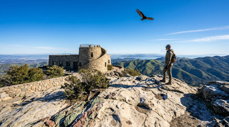
A 0.7-mile loop with about 100 ft of gain from the Christmas Tree Point trailhead, reachable by car or on foot from the Castro or Clipper Street, delivering a 360-degree view over the entire city and bay, including downtown, the Golden Gate Bridge, and on the clearest days, Mount Diablo far to the east.
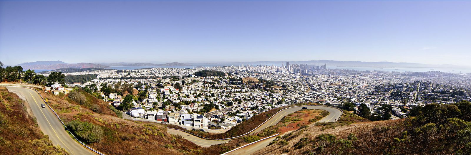
Twin Peaks reaches about 922 ft, the city’s second-highest natural point after Mount Davidson, and fog-free mornings are the most reliable window for a clear view, especially October through January. It’s free with no reservation, and Corona Heights next door adds rocky outcroppings and an off-leash dog area for anyone extending the visit.
Best hiking trails on Mount Sutro and in Golden Gate Park
Mount Sutro and Golden Gate Park sit in the city’s foggy central corridor, offering a different hiking character from the coastal cliffs and open summit views found elsewhere in San Francisco.
Mount Sutro Historic Trail: San Francisco’s most atmospheric forest walk
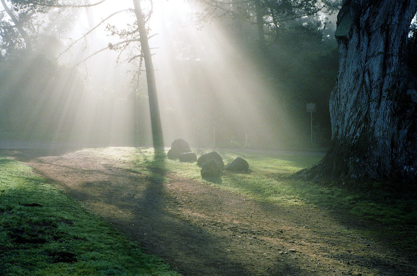
A roughly 2-mile loop through a 61-acre eucalyptus forest reserve on the UCSF campus, fog-shrouded and moody most of the year, and popular enough as a Halloween hike that its atmosphere has its own local reputation among city residents.
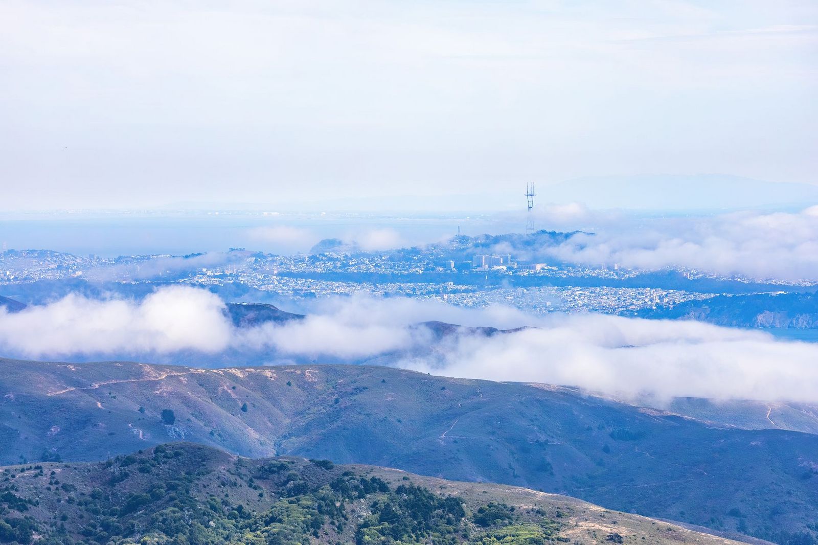
It’s free, open dawn to dusk, dogs aren’t permitted, and the main entrance sits on Medical Center Way, easy to miss if you’re not specifically looking for it. Golden Gate Park, just to the north, adds Strawberry Hill’s 430-ft lake island and the Chain of Lakes trail for a completely different, more manicured hiking experience in the same general part of the city, which is well worth combining into one outing if you have a full day free.
San Francisco rewards treating its hills and coastline as a trail network rather than just scenic backdrops for a walk downtown. Layer up regardless of season, since fog and wind can turn a sunny morning cold fast on any of the city’s coastal or summit trails, and check current conditions before a Lands End or Twin Peaks trip if a clear view is the whole point of going, as the same trail can look completely different from one morning to the next depending on how the fog is moving that day.
Frequently asked questions about hiking trails in San Francisco
What are the best hiking trails in San Francisco?
The Batteries to Bluffs Trail and Lovers Lane in the Presidio, the Lands End Coastal Trail for dramatic ocean cliffs, and the Twin Peaks Summit Loop for the best city panorama: all are free, require no reservation, and are reachable without a car.
What hiking trails are in the Presidio, San Francisco?
The Batteries to Bluffs Trail (0.7 miles one-way, coastal cliffs and gun battery ruins) and Lovers Lane (0.6 miles, historic eucalyptus-shaded path) are the two standouts, both free through GGNRA with no reservation required and easy to combine into one longer outing.
Is hiking in San Francisco free?
Yes, nearly all of it: GGNRA land (the Presidio, Lands End, Fort Funston) and city-managed parks like Golden Gate Park, Twin Peaks, and Mount Sutro all require no entrance fee or reservation for standard day hiking, a real contrast with many state parks elsewhere in California.
How do I hike to Twin Peaks in San Francisco?
Drive or take a bus to the Christmas Tree Point parking area for the shortest approach, or walk up from the Castro or Clipper Street neighborhoods if you want the climb included. The full loop from the summit parking area is under a mile either way.
What is the best hike in San Francisco for first-time visitors?
The Batteries to Bluffs Trail combines a manageable distance with iconic Golden Gate Bridge views, making it the most rewarding first stop for a visitor with limited time and no car.
When is the best time to hike in San Francisco without fog?
October through January tends to deliver the most reliably fog-free mornings citywide, though coastal spots like Lands End can stay foggy even then. Early morning generally beats afternoon regardless of season, before fog has a chance to roll back in over the ridgelines.