Best Hiking Trails in Alameda County, California
Hiking Trails in Alameda County sits at the heart of the East Bay Regional Park District, 73 parks and over 1,250 miles of trail spanning Berkeley’s ridgelines, Oakland’s second-growth redwood canyons, and Fremont’s most photographed summit. It’s some of the most accessible serious hiking in the entire Bay Area, most of it reachable by BART or a short drive from anywhere in the East Bay, which is part of why this county’s trails see some of the heaviest weekend foot traffic in Northern California.
Disclosure: Please note that some of the links below are affiliate links and at no additional cost to you, I may earn a commission. Know that I only recommend hiking gear I personally stand behind; when you use my affiliate links, it helps me run this blog and keep all of this content free of charge for readers (like you).
Key takeaways
- Alameda County has three hiking zones: the Berkeley Hills, the Oakland Hills, and Fremont/South Alameda around Mission Peak and Sunol.
- Mission Peak’s summit pole, the “Mission Peeker”, has stood since 1990, survived a 2023 vandalism incident that sawed it down, and was repaired and welded back in place that same year.
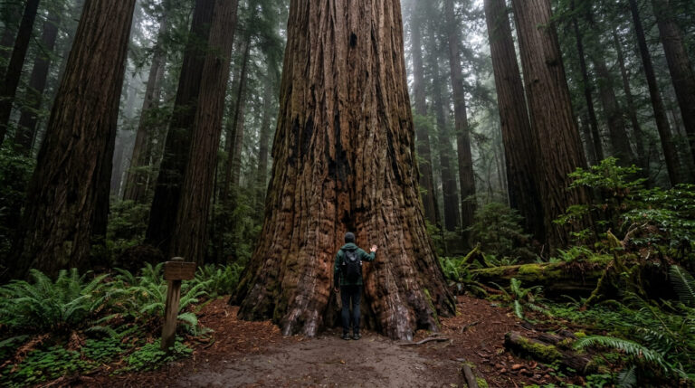
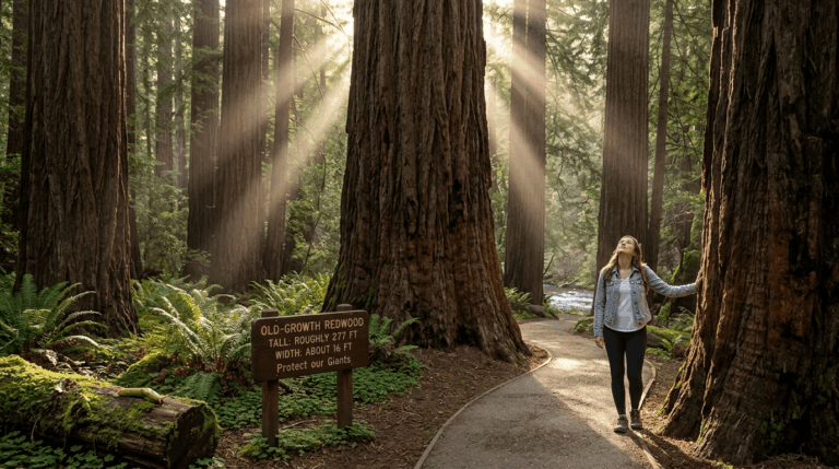
- Redwood Regional Park’s trees are second-growth, not old-growth; the originals were logged in the mid-1800s, many to help rebuild San Francisco after later fires and the 1906 earthquake.
- Mission Peak sees up to 2,000 visitors a day on weekends, and the free 40-space Stanford Avenue lot fills before 7am, arrive early or use the Ohlone College trailhead instead.
- Nearly all East Bay Regional Park District trails are free to hike; parking, not entry, is where fees occasionally apply.
Related
- Reinhardt Redwood Regional Park Hiking Guide
- Mission Peak Hiking Guide
- 5 Best Hiking Trails in Berkeley, Alameda County
- 5 Best Hiking Trails in the East Bay Hills, Alameda County
Why Alameda County is the East Bay’s best urban hiking county
Few places let you step off BART and be on a genuine wilderness trail within twenty minutes. Alameda County’s hills rise almost directly from its cities, giving Berkeley, Oakland, and Fremont each their own serious hiking network without much of a drive at all.
Alameda County’s three hiking zones
The Berkeley Hills hold Tilden Regional Park, Wildcat Canyon, and Sibley Volcanic Preserve, all offering ridge and bay views close to the UC Berkeley campus, the easiest zone in the county to reach without a car. The Oakland Hills contain Redwood Regional Park and Anthony Chabot Regional Park, trading Berkeley’s open ridgelines for shaded canyon hiking that stays noticeably cooler on a hot day.
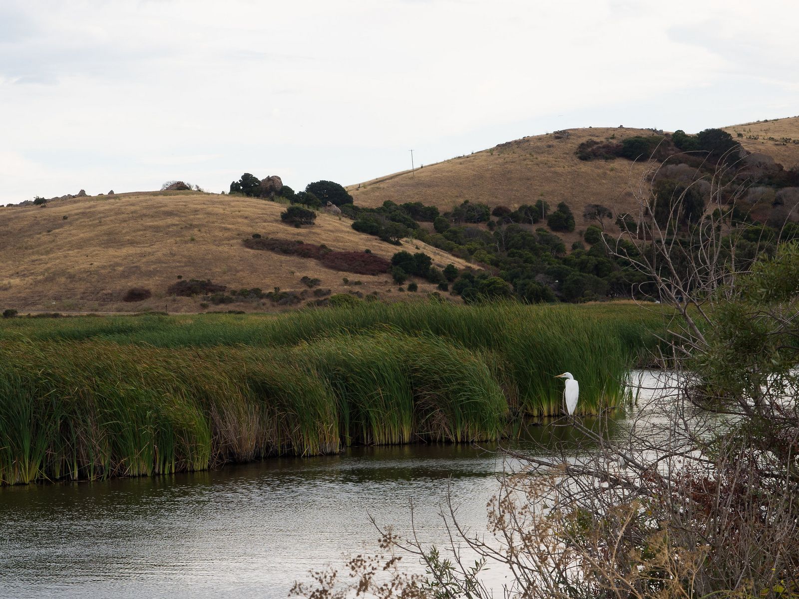
Fremont and South Alameda hold Mission Peak, Coyote Hills Regional Park, and Sunol Regional Wilderness, the county’s most demanding and most rural terrain, where the hills pull back from the cities and the crowds thin out considerably once you’re past Mission Peak itself.
Best hiking trails in Berkeley Hills, Alameda County
Tilden Regional Park and neighboring Wildcat Canyon give Berkeley some of the most accessible ridge and bay-view hiking anywhere in the East Bay, all within a short drive of downtown.
Tilden Park Nimitz Way: Berkeley’s best easy ridgeline walk
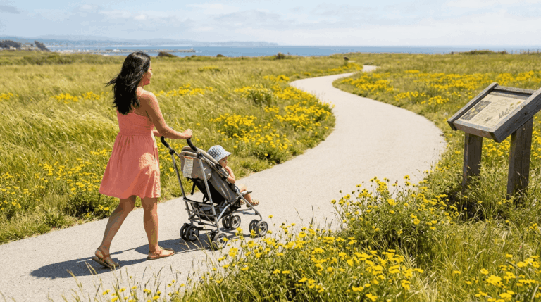
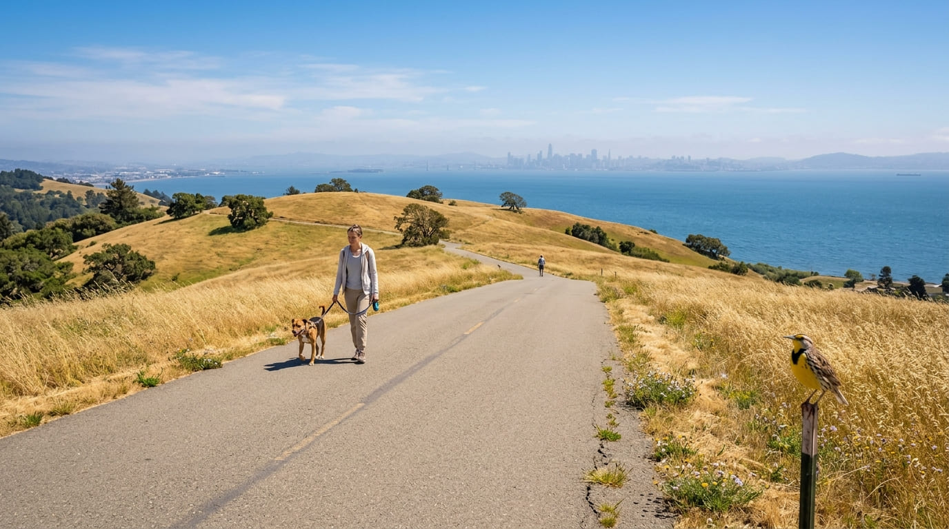
This 4.5-mile, one-way paved trail follows the ridge above Berkeley and El Cerrito with panoramic San Francisco Bay views nearly the entire way. The gentle, stair-free grade and paved surface make it one of the more accessible longer hikes in the county, and free EBRPD parking at Inspiration Point gets you started.
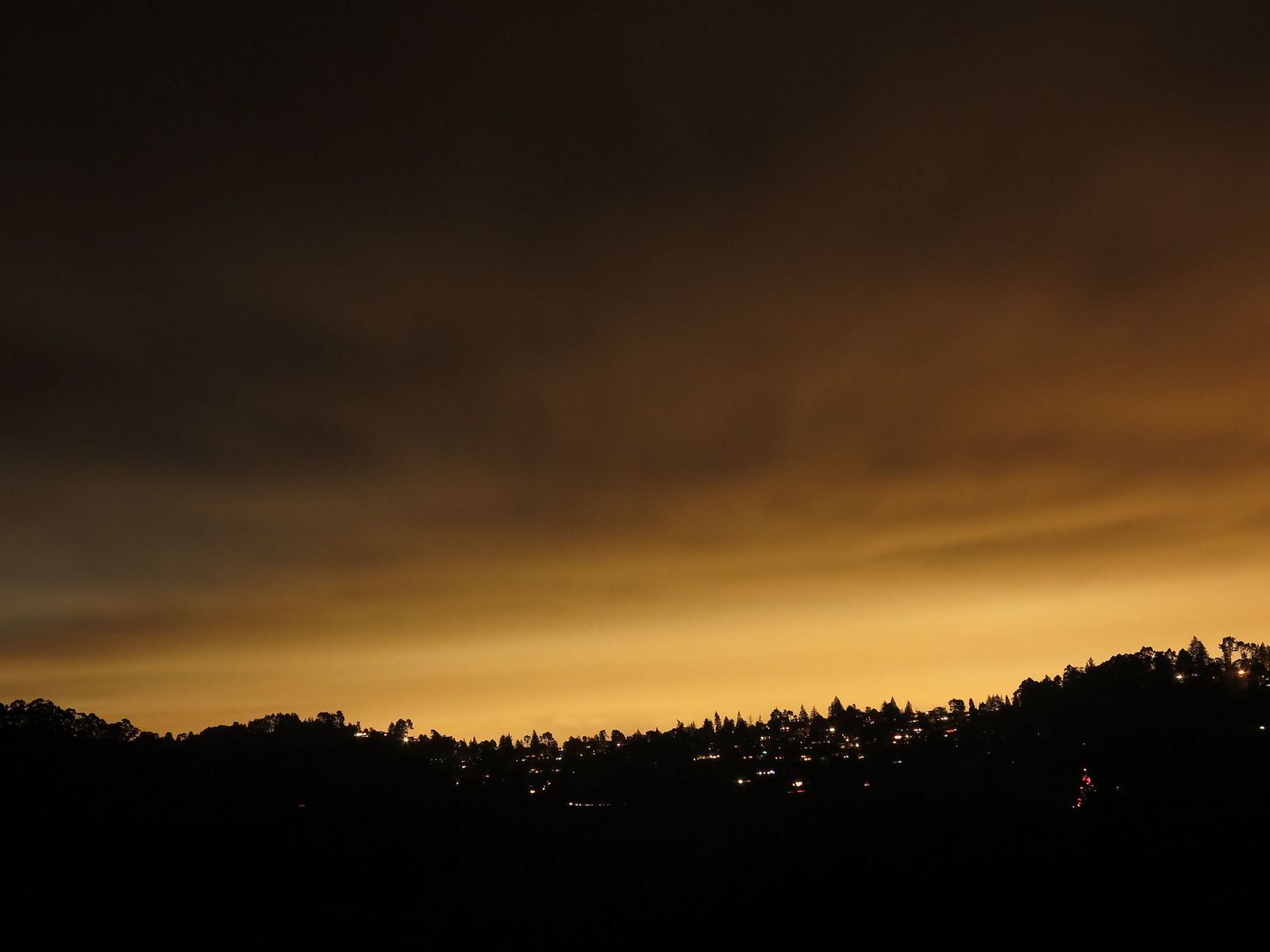
Dogs are welcome on leash, and the trail connects directly into the broader Wildcat Canyon trail network for anyone wanting more mileage.
Wildcat Peak Trail: Berkeley Hills’ best summit with bay views
At 3.5 miles round trip with about 600 ft of gain from the Jewel Lake trailhead, Wildcat Peak tops out at 1,211 ft with views spanning San Francisco Bay, the Golden Gate, and Marin.
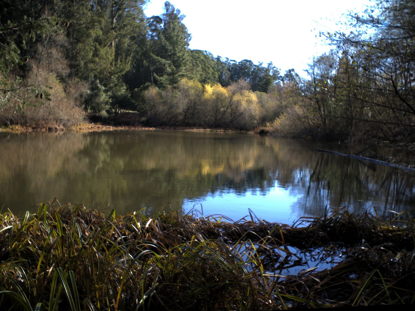
The route passes Tilden’s Environmental Education Center and, on weekends, the park’s historic steam train. Parking at Jewel Lake is free, and the whole outing works well as a half-day trip for anyone not ready for Mission Peak’s steeper climb.
Best hiking trails in Oakland Hills, Alameda County
Redwood Regional Park and Anthony Chabot Regional Park give Oakland genuine canyon and ridge hiking, a different character entirely from Berkeley’s open ridgelines just a few miles north. That same ridgeline continues into Contra Costa County, home to Mount Diablo just beyond the Oakland Hills.
Stream Trail at Redwood Regional Park: Oakland’s best redwood canyon hike
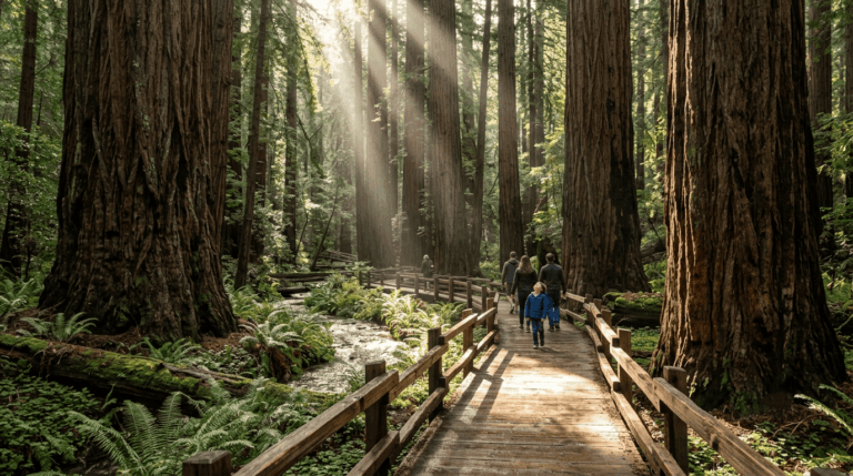
This 3.7-mile, one-way trail follows a seasonal creek through Redwood Regional Park’s coast redwood canyon, second-growth, not old-growth, since the original trees here were logged in the mid-1800s, many used to help rebuild San Francisco after later fires and the 1906 earthquake.
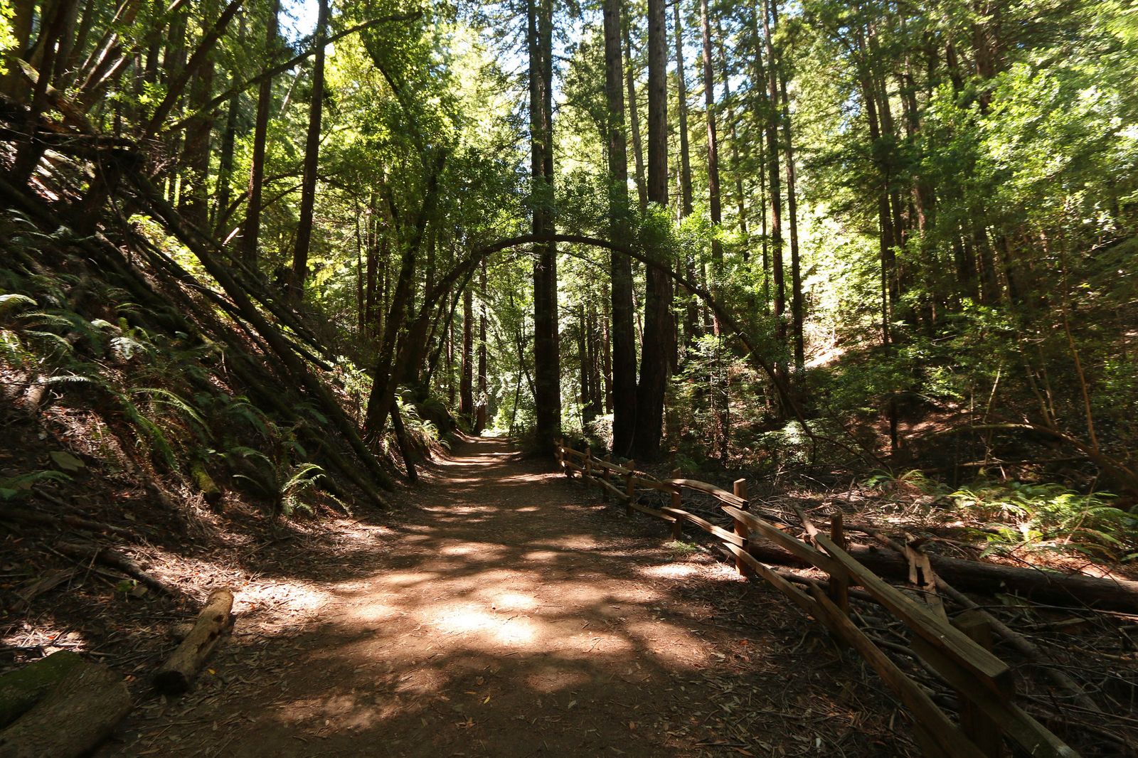
What’s grown back since is still genuinely impressive canyon forest, shaded and cool even on hot days when the exposed ridges elsewhere in the county are baking. A Return Trail loop option extends the outing to 6.5 miles round trip; parking at the Skyline Gate trailhead runs $5, and dogs are welcome on leash.
The Stream Trail connects directly to the East Ridge Trail for anyone wanting to add a panoramic ridge finish to a canyon-floor start.
East Ridge Trail: Oakland Hills’ best Bay Area panoramic ridge hike
Running about 7 miles one-way through Anthony Chabot Regional Park, this exposed grassland ridge trail delivers views stretching to San Francisco Bay, Mount Diablo, and on clear days the distant Sierra Nevada.
The lack of shade makes it a genuinely hot summer hike, so October through April is the more comfortable window. Parking at the Bort Meadow trailhead runs $5, and the trail connects onward into Redwood Regional Park for a longer combined route.
Best hiking trails at Mission Peak Regional Preserve, Fremont
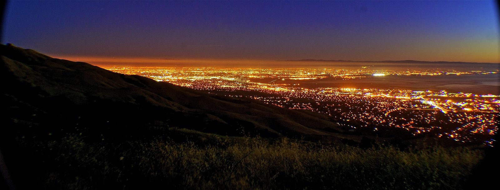
At 2,517 ft, a number the summit itself happens to match, Mission Peak is both Alameda County’s most popular hike and its most demanding easily accessible one.
Mission Peak Summit Trail: Fremont’s most popular and most challenging day hike
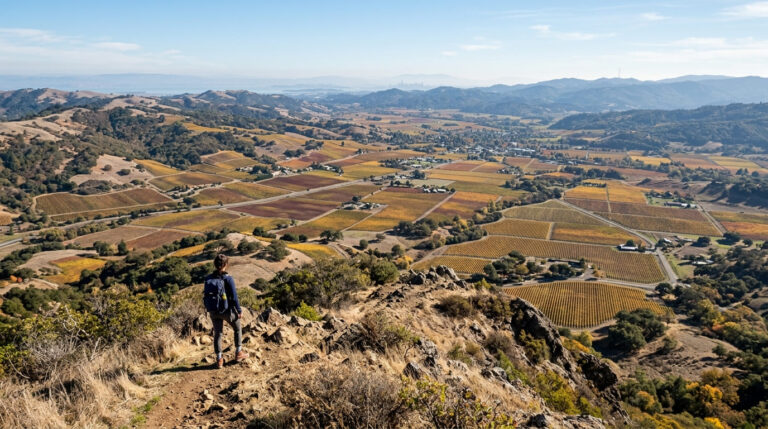
The standard route from the Stanford Avenue trailhead runs about 6 miles round trip with roughly 2,100 ft of gain up exposed switchbacks with essentially no shade; pack at least 2 liters of water, more in summer heat, since dehydration and heat exhaustion are the two most common problems hikers run into here.
At the top, the “Mission Peeker” summit pole has become the trail’s defining landmark since park ranger Leonard Page installed it in 1990, originally designed as an interpretive sight-tube pointing toward other Bay Area landmarks; vandals sawed it down in September 2023, but EBRPD crews retrieved and welded it back into place within weeks, and it remains the most photographed spot in Fremont and a fixture of nearly every summit photo taken here.
The free 40-space Stanford Avenue lot fills before 7am on weekends, so arrive early or use the Ohlone College trailhead instead, which adds distance but offers a more gradual, shadier ascent and far more parking.
Best hiking trails at Sunol Regional Wilderness, Alameda County
At 6,858 acres, Sunol Regional Wilderness trades Mission Peak’s crowds for a working cattle-ranching landscape and the trailhead for one of the East Bay’s most serious backpacking routes. Sunol’s southern edge borders the hiking trails in Santa Clara County, home to a similar stretch of Diablo Range wilderness.
Indian Joe Creek Loop: Sunol’s best easy family canyon hike
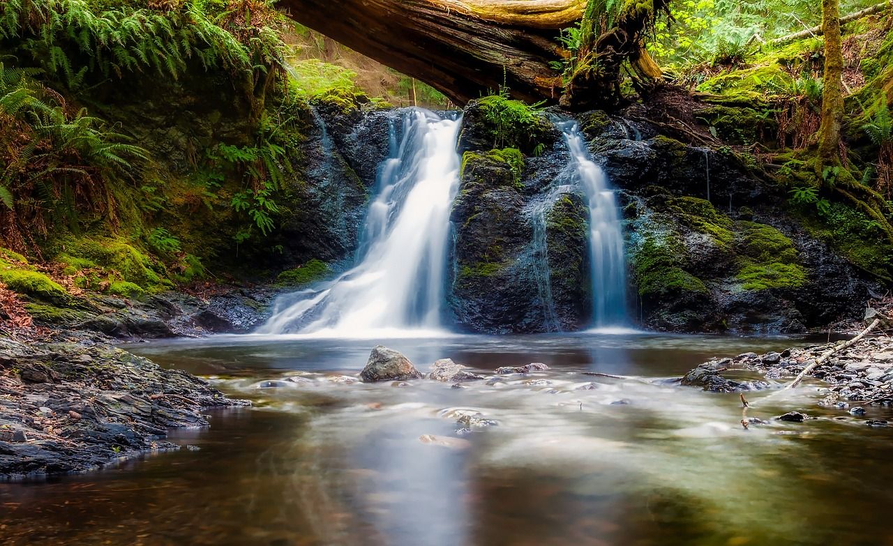
This 4-mile loop with about 600 ft of gain follows a seasonal creek canyon through grazing land, with native wildflowers, shooting stars, blue dicks, and California poppies putting on their best show from March through May. Cattle still graze parts of this landscape, giving Sunol a genuinely different, more working-ranch character than the more manicured feel of Berkeley’s or Oakland’s parks.
Dogs are welcome on leash, parking runs $5, and the loop makes a solid family introduction to Sunol before tackling anything more ambitious. The 28-mile Ohlone Wilderness Regional Trail, a genuine multi-day backpacking route connecting Sunol to Del Valle Regional Park, starts from the same general area and requires its own overnight permit.
Alameda County rewards matching the hike to the hour you actually have: a Berkeley ridge walk or Oakland canyon trail for a shorter outing, Mission Peak when you want the county’s signature challenge, and Sunol when crowds are the thing you’re trying to avoid.
Start with Nimitz Way or the Stream Trail if it’s your first visit, and save Mission Peak for a weekday or an early weekend start once you know what you’re getting into. Few Bay Area counties pack this much genuine trail variety within a system this easy to reach without a car.
Frequently asked questions about hiking trails in Alameda County
Where is the Mission Peak hiking trail in Fremont?
The main trailhead is at the end of Stanford Avenue in Fremont, off Mission Boulevard, though the Ohlone College entrance offers a longer but more gradual and less congested alternative. Both lead to the same 2,517-ft summit and its famous pole.
What are the best hiking trails in Berkeley, California?
Tilden Regional Park’s Nimitz Way is the best easy ridge walk, and Wildcat Peak delivers a summit with bay and Golden Gate views for a moderate effort. Both sit within Tilden and Wildcat Canyon’s connected trail network in the Berkeley Hills.
What hiking trails are in Tilden Regional Park, Berkeley?
Nimitz Way is the standout easy option, a paved 4.5-mile ridge trail with consistent bay views, while the Wildcat Peak Trail from Jewel Lake adds a moderate summit push. The park also holds a botanical garden and a historic steam train that runs on weekends.
Are there hiking trails with redwood trees in Oakland?
Yes, Redwood Regional Park’s Stream Trail runs through a genuine second-growth coast redwood canyon, even though the original old-growth trees were logged in the 1800s. It’s one of the few places in the East Bay to get real redwood-canyon hiking without crossing over into Santa Cruz or San Mateo County.
How hard is the Mission Peak hike and what time should I start?
It’s a genuinely tough 6-mile round trip with about 2,100 ft of gain on exposed, shadeless switchbacks; budget 2 to 5 hours depending on fitness. Start by 7am on weekends if you want any realistic shot at parking at the Stanford Avenue trailhead.
Are East Bay Regional Park District hiking trails free in Alameda County?
Yes, trail access itself is free across nearly all EBRPD parks, Mission Peak, Tilden, and Wildcat Canyon included. Parking fees of around $5 apply at some trailheads, like Redwood Regional and Sunol, while others, including Mission Peak’s Stanford Avenue lot, are free but limited.