Hiking Trails in Sacramento County, California
Sacramento gets treated like a flat, hiking-optional capital city sandwiched between the Bay Area and the Sierra, but the options for Hiking Trails in Sacramento include a 32-mile river parkway, a major state recreation area with about 100 miles of trails, and one of the best sandhill crane migrations in the entire Central Valley. I’ve spent four-plus years cataloging trails across this state, and Sacramento County consistently gets skipped by hikers heading straight for the mountains, which is exactly why its trails stay pleasantly uncrowded outside of a few predictable bloom weekends.
Disclosure: Please note that some of the links below are affiliate links and at no additional cost to you, I may earn a commission. Know that I only recommend hiking gear I personally stand behind; when you use my affiliate links, it helps me run this blog and keep all of this content free of charge for readers (like you).
It’s also one of the flattest, most approachable hiking counties I cover, which makes it a genuinely good place to build a regular walking habit without elevation gain getting in the way. This guide covers all three of the county’s hiking zones, plus the details worth knowing before you go.
Key takeaways:
- Sacramento County spans three hiking zones: the American River Parkway, the Folsom Lake/Granite Bay area, and South Sacramento’s Cosumnes River Preserve.
- The American River Parkway’s Jedediah Smith Memorial Trail runs 32 miles, one of the longest continuous urban greenbelts in the Western United States.
- Folsom Lake State Recreation Area offers roughly 100 miles of trails (not to be confused with its 75 miles of shoreline when full) for a $12 day-use fee.
- Cosumnes River Preserve hosts thousands of migrating sandhill cranes November through February, making it one of the best wildlife-viewing hikes in the entire region, and it is completely free.
- Several genuine nature trails exist inside Sacramento’s urban core, including Effie Yeaw Nature Center and Discovery Park, both often overlooked by visitors who assume they’d need to leave the city entirely.
Related
Why Sacramento County has more hiking than California’s capital city gets credit for
Sacramento County’s hiking profile includes the American River Parkway (32 miles of river trail along the Jedediah Smith Memorial Trail), Folsom Lake State Recreation Area (roughly 100 miles of trails), Cosumnes River Preserve’s riparian wetlands and sandhill crane migration, Effie Yeaw Nature Center, and more than 200 miles of paved and unpaved trails across the greater Sacramento metro. That trail network extends west across the river into Yolo County, home to Sacramento’s closest Coast Range hiking.
Sacramento County’s three hiking zones
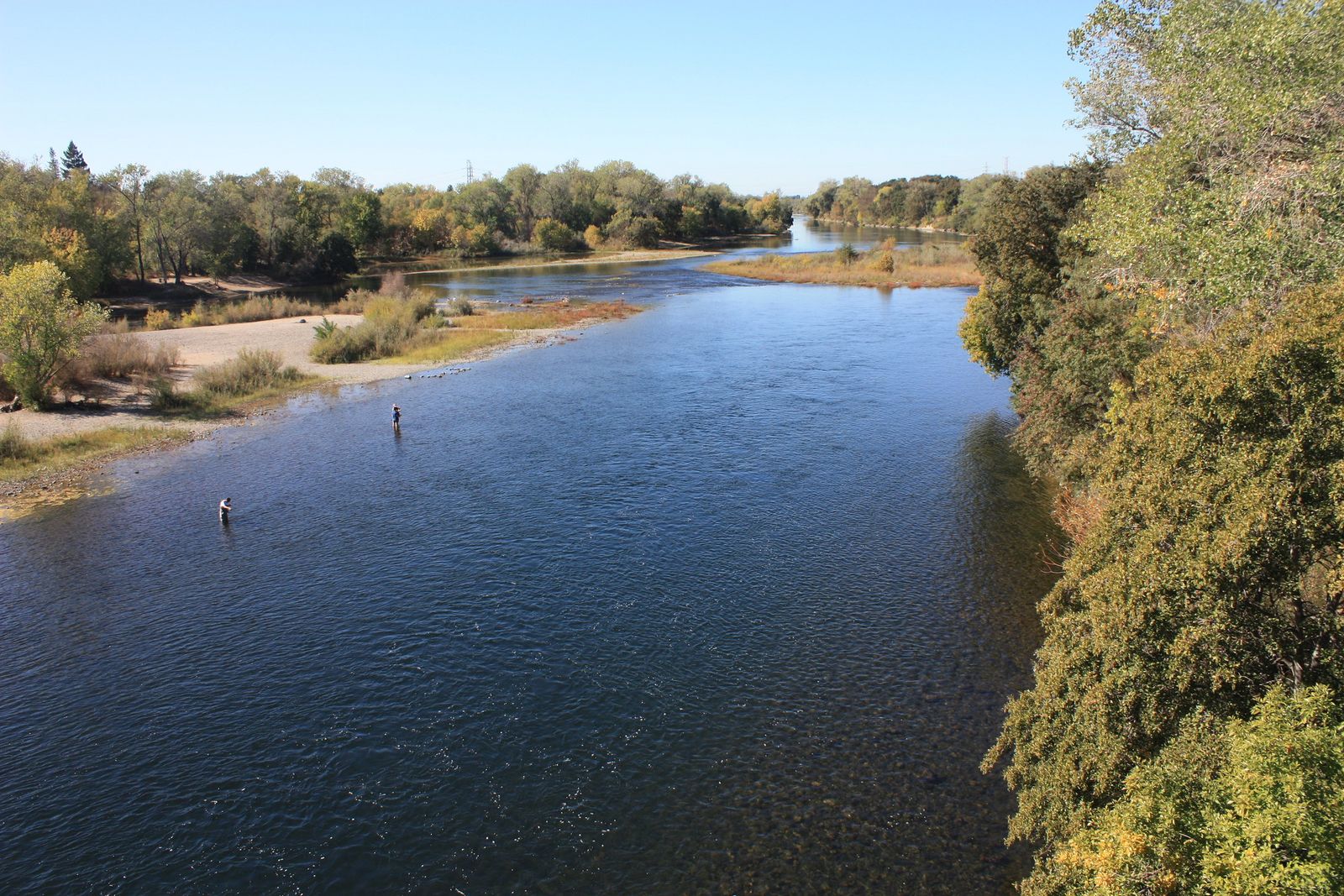
The American River Parkway (Jedediah Smith Memorial Trail, Fair Oaks, Sunrise Area) follows the river from Old Sacramento to Folsom Lake, mixing paved and unpaved sections and functioning as the connective spine linking most of the county’s other river-adjacent parks. Folsom Lake / Granite Bay adds Folsom Lake SRA’s wildflower fields at Doton’s Point and the Peninsula Campground trail network to the county’s northeastern edge, where the terrain starts climbing into the Sierra foothills. Folsom Lake itself is shared with the hiking trails in Placer County, which pick up on the lake’s opposite shore.
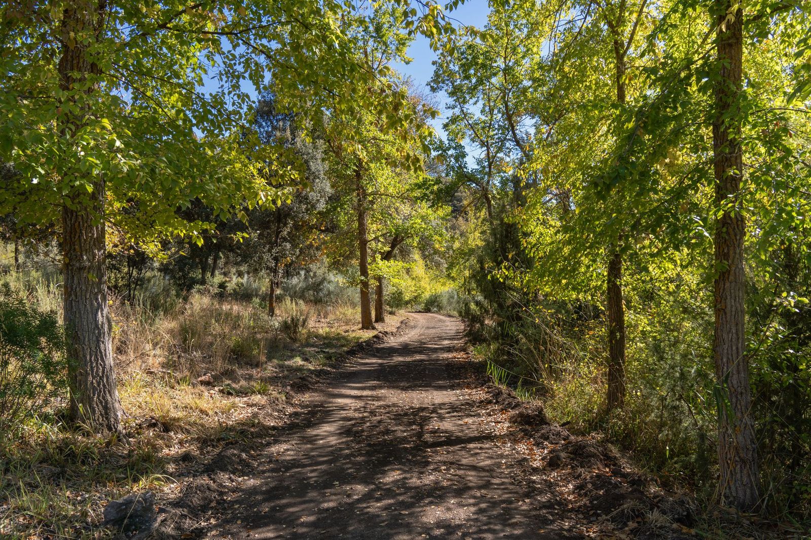
And South Sacramento / Laguna rounds out the county with Cosumnes River Preserve, Elk Grove Regional Park, and the Laguna Creek Trail, a genuinely different, wetland-dominated landscape from the river and lake terrain further north, and the part of the county most visitors don’t know exists.
Best hiking trails along the American River Parkway, Sacramento County
The American River Parkway’s Jedediah Smith Memorial Trail runs 32 miles from Sacramento’s Old Town to Folsom Lake, designated a National Recreation Trail and widely described as the longest continuous urban greenbelt in the Western United States.
Jedediah Smith Memorial Trail: Sacramento’s best long river walk
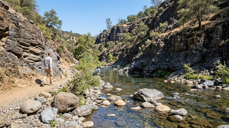
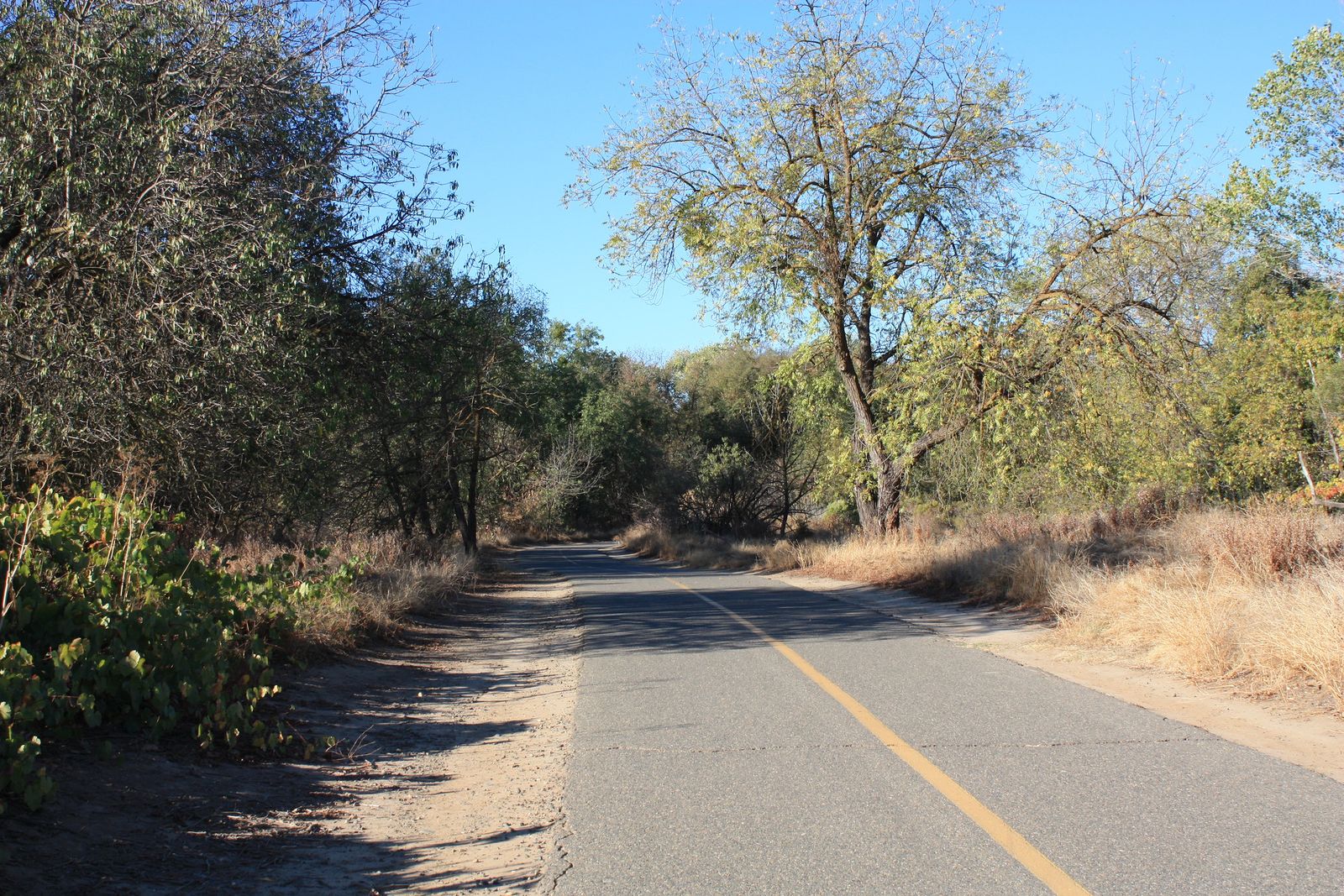
This 32-mile one-way paved Jedediah Smith Memorial Trail parallels the American River the entire distance, shared by pedestrians and cyclists, with multiple access points including Goethe Park, Sailor Bar, and Sunrise Recreation Area that let you tackle any section without committing to the full length. It’s flat, free, requires no reservation, and dogs are welcome on leash. The trail is genuinely walkable in segments over a weekend rather than needing one long single-day push, and mile markers every half mile make it easy to track exactly how far you’ve gone without any app or GPS device.
Sunrise Recreation Area: American River’s best wildflower and swimming hole section
Accessed via the Hazel Avenue exit in Fair Oaks, this section of the parkway combines a sandy beach and swimming holes with short nature loop trails and a strong wildflower display (blue dicks and goldfields) from February through April.
It’s the most popular summer swimming area on the American River, with free parking at Sailor Bar, though there are no lifeguards, so treat river currents with real caution regardless of how calm the surface looks; the American River’s current is often stronger than it appears from shore, especially near submerged rocks.
Best hiking trails at Folsom Lake State Recreation Area, Sacramento County
Folsom Lake SRA offers roughly 100 miles of trails across its Sacramento County section (Granite Bay, Doton’s Point, Peninsula Campground, Beals Point), which is not to be confused with the lake’s 75 miles of shoreline when full, a separate figure describing the water’s edge rather than trail mileage that gets conflated in many older write-ups.
The park draws more than 2 million visitors a year, most of them concentrated on summer weekends, so weekday visits are noticeably calmer if your schedule allows it.
Doton’s Point Wildflower Trail: Sacramento County’s best spring bloom hike
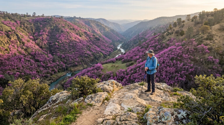
In the Granite Bay area, this flat 2-mile round-trip trail crosses open grassland that turns into one of the best wildflower displays in the Sacramento region every February and March, featuring goldfields, owl’s clover, blue dicks, and poppies in a good bloom year, with the display’s intensity varying meaningfully depending on how much rain fell that winter. It’s extremely popular on peak bloom weekends, so arrive before 9 a.m. if you want reasonable parking; the standard $12 day-use fee applies.
Folsom Lake loop trails: the SRA’s best multi-mile hiking options
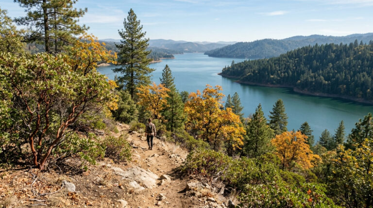
There’s no complete trail around the full lake (it’s simply too large), but the Brown’s Ravine to Beals Point connector (about 6 miles) and the shorter Brown’s Ravine Trail (3 miles, real lake views) are the strongest multi-mile options, shared with cyclists throughout the entire distance.
Access is via Beals Point or Granite Bay, both under the same $12 day-use fee, and note that Peninsula Campground can close seasonally depending on water conditions, since Folsom Lake’s level fluctuates meaningfully with drought and reservoir management, making it a genuinely different lake to look at in a wet year versus a dry one, which also changes how far you’ll walk from the parking area to actually reach the water.
Best hiking trails at Cosumnes River Preserve, Sacramento County
Managed jointly by The Nature Conservancy and the BLM, Cosumnes River Preserve protects 50,000 acres of riparian forest and wetland south of Elk Grove. The preserve is completely free, requires no reservation, and is genuinely one of the least-crowded major hiking destinations covered anywhere in this guide.
Willow Slough Nature Trail: Sacramento’s best birdwatching hike
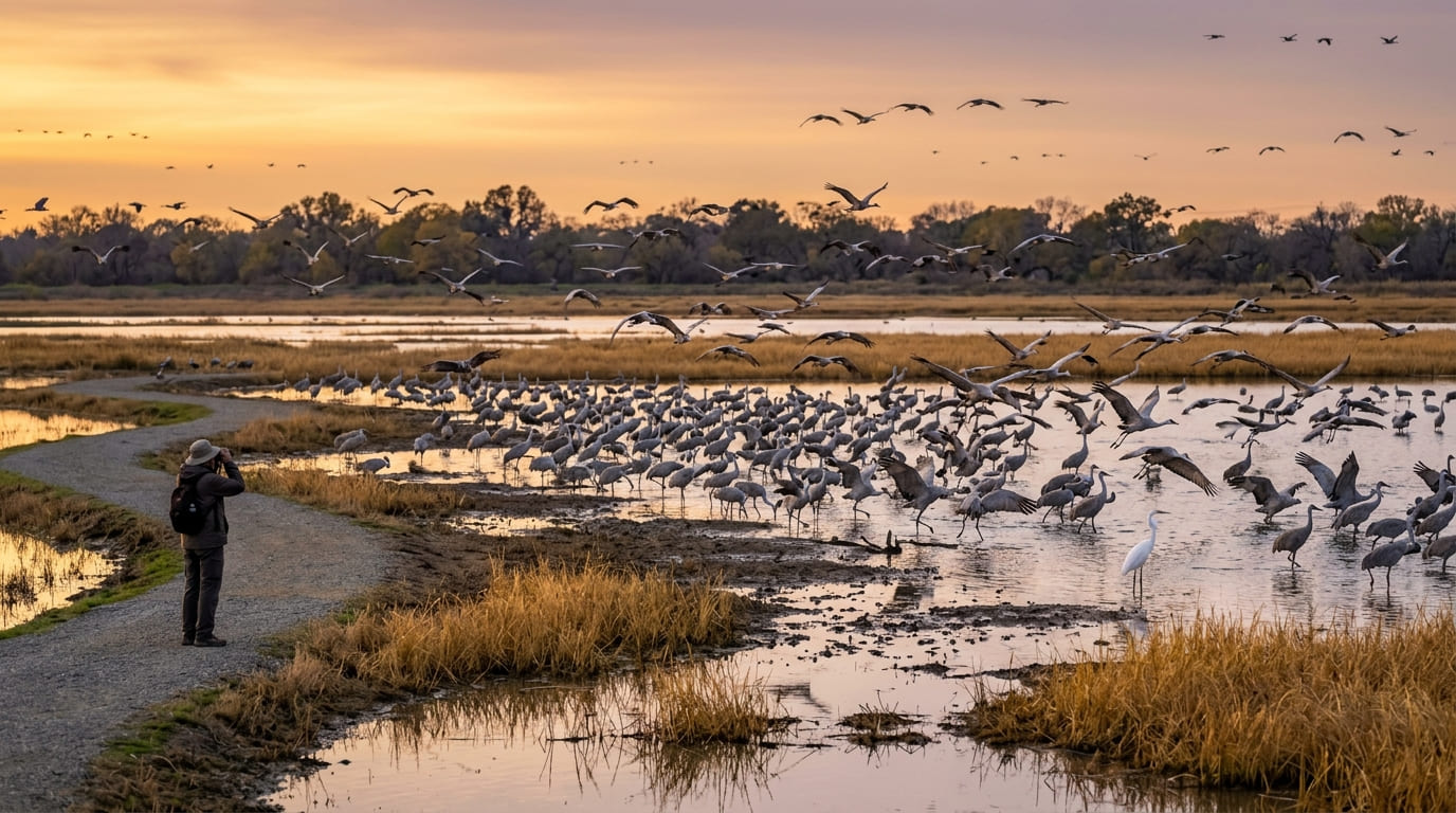
This flat, 3-mile loop through riparian forest and wetland from the Franklin Boulevard trailhead is one of the best wildlife-viewing hikes in the Sacramento region, especially November through February, when thousands of sandhill cranes stage here during migration, one of the largest such gatherings in the entire Central Valley and a genuinely dramatic sight at dawn or dusk when the cranes move between roosting and feeding areas.
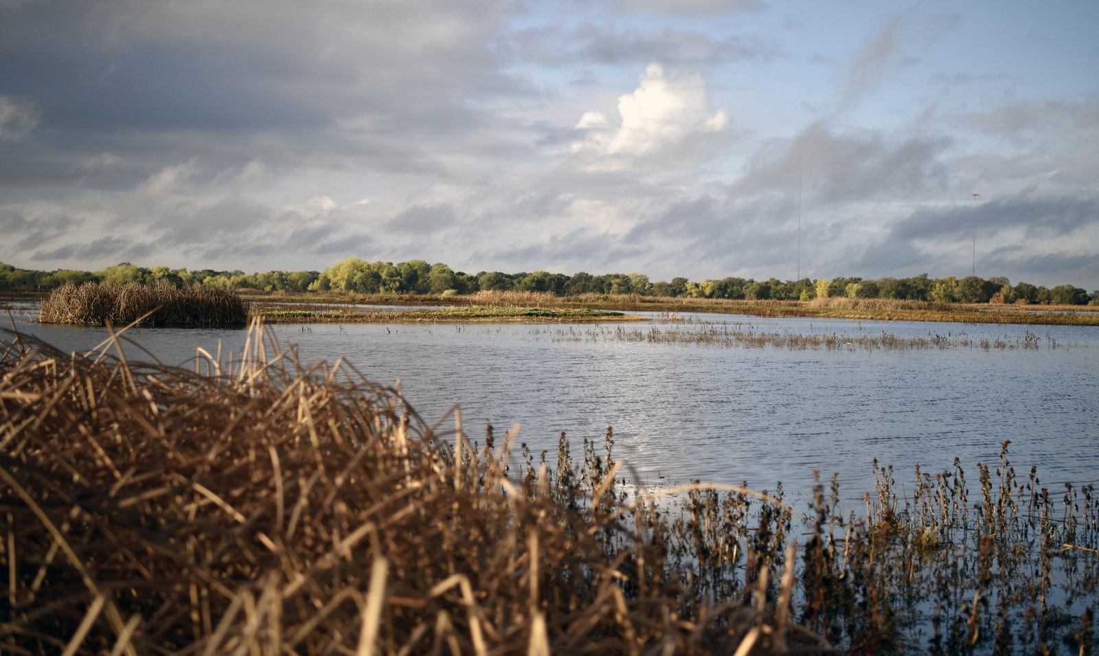
White-tailed kites, great egrets, and occasional tule elk sightings round out a genuinely rich wildlife list for a trail this close to a major metro area, and bringing binoculars makes a real difference here even more than at most other trails in this guide.
Best urban hiking trails in Sacramento City
You don’t have to leave the city, or the immediate urban area, to find a real nature trail. Discovery Park, inside Sacramento city limits, offers a 0.5-mile loop good for fishing and birdwatching, and it’s an easy add-on if you’re already finishing a longer parkway walk nearby. Just outside the city limits in Carmichael, Effie Yeaw Nature Center, inside Ancil Hoffman Park, runs a 1.8-mile nature loop where deer sightings are common enough to expect rather than hope for, plus a small museum and interpretive programs for visitors who want more context than a trail map alone provides.
And Capitol Park, a 40-acre oasis downtown, still packs in walking paths through more than 60 tree species from around the world. It offers a legitimate quick nature break between meetings if you’re downtown on business rather than a dedicated hiking trip, and is one of the few genuinely green spaces within easy walking distance of the Capitol building itself.
If you’re building broader hiking skills, our beginner’s guide to hiking trails is a solid starting point for anyone new to the sport, and checking a route’s difficulty rating still matters even on Sacramento’s mostly flat terrain, especially on hot summer days when heat becomes the real variable rather than elevation gain. Whichever zone you start with, Sacramento County’s combination of river, lake, and wetland terrain means you can build a genuinely varied hiking habit without ever needing to drive to the mountains.
Frequently asked questions: hiking trails in Sacramento County
What are the best hiking trails near Sacramento, California?
The American River Parkway’s Jedediah Smith Memorial Trail, Folsom Lake SRA’s Doton’s Point wildflower trail, and Cosumnes River Preserve’s Willow Slough Nature Trail cover the strongest options across the county’s river, lake, and wetland terrain.
What hiking trails are along the American River near Sacramento?
The Jedediah Smith Memorial Trail runs the full 32-mile parkway; Sunrise Recreation Area in Fair Oaks is the best single section for combining a short hike with wildflowers and a swimming hole.
When do wildflowers bloom at Folsom Lake for hiking?
Typically February through March, with Doton’s Point in the Granite Bay area offering the region’s best display; arrive before 9 a.m. on peak bloom weekends to find parking.
Where is the best swimming hole on the American River near Sacramento?
Sunrise Recreation Area, off the Hazel Avenue exit in Fair Oaks, is the most popular spot, with a sandy beach and swimming holes, though there are no lifeguards on duty.
Can I see sandhill cranes while hiking near Sacramento?
Yes, Cosumnes River Preserve’s Willow Slough Nature Trail hosts thousands of migrating sandhill cranes from November through February, one of the largest staging areas in the Central Valley.
Are there any hiking trails within Sacramento city limits?
Yes, Discovery Park offers a real nature trail within Sacramento city limits, while Effie Yeaw Nature Center provides another excellent option just outside the city in nearby Carmichael, and many visitors don’t realize they exist without leaving the urban core entirely.