Hiking Trails in Placer County, California
Placer County gets treated as a pass-through on the drive to Tahoe, which skips right past 350-plus miles of trail spanning Gold Rush canyons, an alpine lake basin, and the Sierra foothills’ spring wildflower bloom. Most visitors barely register Auburn or the American River canyon as anything beyond a highway sign, when it’s actually one of the largest and most historically interesting trail systems in the Sierra foothills. Here’s what most Tahoe-bound drivers never stop to see. Uncovering the diverse Hiking Trails in Placer County reveals a spectacular side of Northern California that many completely miss.
Disclosure: Please note that some of the links below are affiliate links and at no additional cost to you, I may earn a commission. Know that I only recommend hiking gear I personally stand behind; when you use my affiliate links, it helps me run this blog and keep all of this content free of charge for readers (like you).
Key takeaways
- Placer County holds three distinct hiking zones: Auburn State Recreation Area’s American River canyons, North Lake Tahoe’s alpine terrain, and the Sierra foothills around Colfax and Weimar; most visitors only ever pass through on the highway.
- Auburn State Recreation Area covers 30,000 acres, the largest state recreation area in California, with more than 100 miles of trail and mostly free access.
- The Western States Trail is day-hikeable in sections, the same historic route used for the iconic 100-mile ultramarathon, following an old gold rush supply corridor along the American River.
- North Lake Tahoe access runs through Palisades Tahoe (formerly known by a name now widely recognized as a slur against Native American women, officially retired in 2021) and the surrounding area, now called Olympic Valley.
- Folsom Lake State Recreation Area’s Doton’s Point delivers a genuine spring wildflower bloom, with blue dicks, goldfields, and owl’s clover peaking February through April.
- River swimming is a major summer draw at several Auburn SRA trails, though currents and water levels shift with dam releases, so check conditions before jumping in.
Related
- 5 Best Hiking Trails Near Lake Tahoe, Placer County
- 5 Best Hiking Trails in Auburn and the Sierra Foothills, Placer County
Why Placer County is one of California’s most underrated hiking counties
Placer County holds over 350 miles of trail stretching from Gold Rush-era American River canyons up to alpine Sierra terrain near Lake Tahoe, anchored by Auburn State Recreation Area, at 30,000 acres, the largest state recreation area in California.
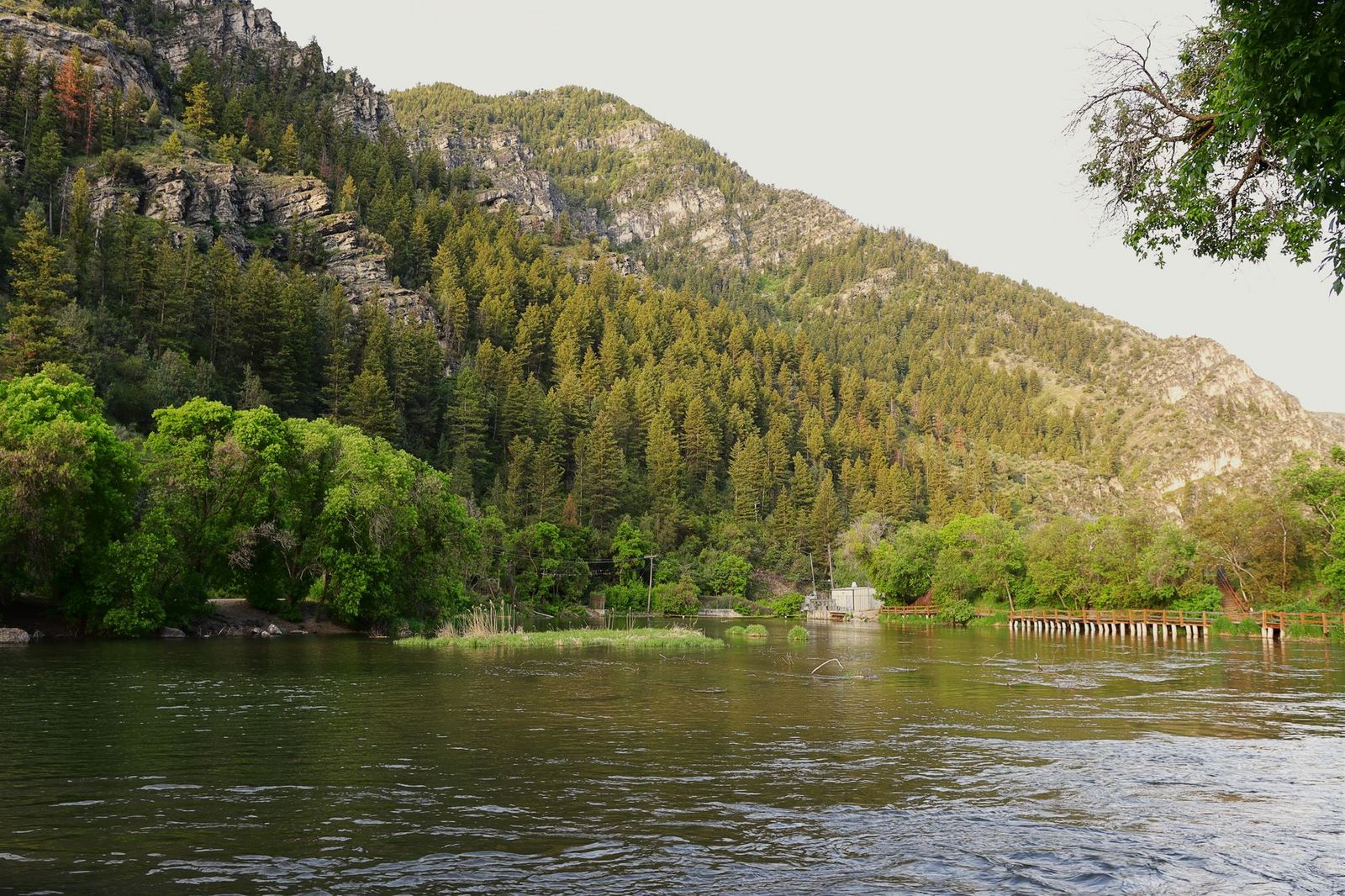
Few counties in the state offer this dramatic an elevation range within one contiguous trail network, from near-sea-level canyon bottom to alpine granite above 9,000 ft, all reachable within about an hour’s drive of each other along Interstate 80.
Placer County’s three hiking zones
Auburn State Recreation Area covers the American River canyon and its gold-dredge history, including sections of the historic Western States Trail; this is the county’s largest and most varied hiking zone by far. North Lake Tahoe adds alpine lake access through Palisades Tahoe (Olympic Valley), Tahoe City, and Dollar Point, a genuinely different world elevation-wise from the canyon trails below.
The Sierra foothills, Foresthill Divide, the Colfax area, and Weimar round out the county with spring wildflower trails at a gentler elevation than the alpine zone, offering a hiking season that starts weeks earlier than Tahoe’s does most years.
Best hiking trails in Auburn State Recreation Area, Placer County
Auburn SRA spans the North and Middle Fork American River canyons with more than 100 miles of trail, mostly free to hike, a genuinely enormous trail network for a park most Sacramento-area residents only know as a highway exit.
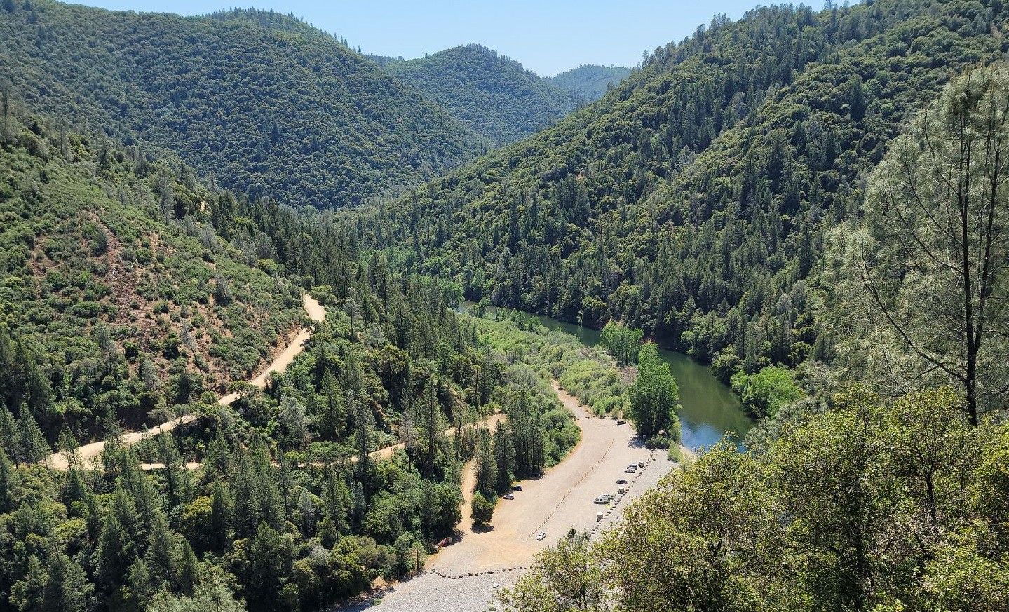
Western States Trail: Auburn’s most historic canyon hike
The Western States Trail follows a former gold rush supply route that’s now famous as the course for the Western States 100 ultramarathon, one of the oldest and most prestigious trail ultramarathons in the country, but it’s genuinely day-hikeable in sections without any of that racing pedigree required.
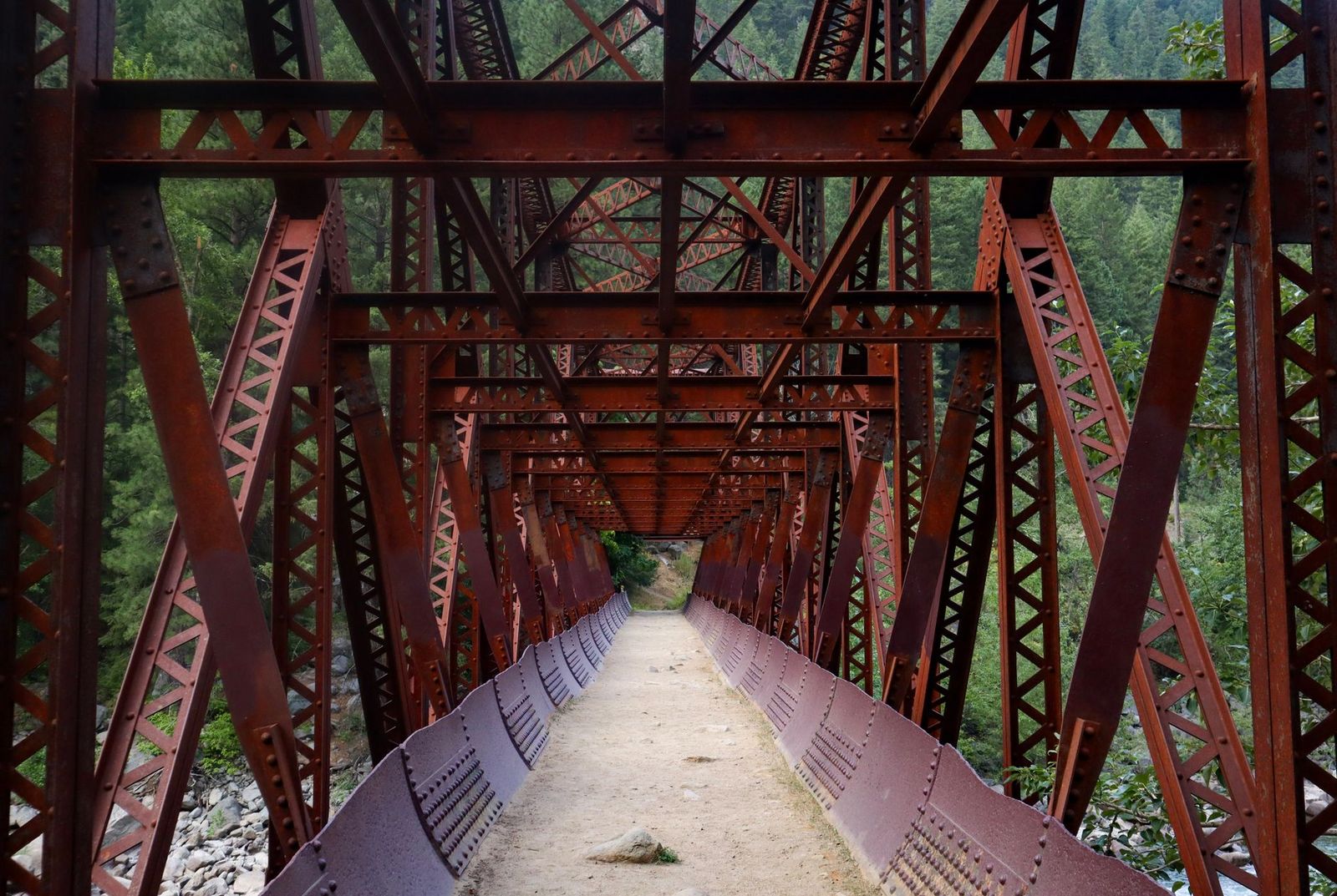
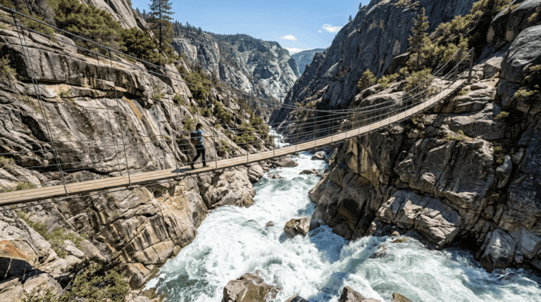
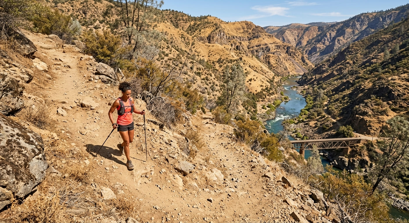
The Confluence-to-No Hands Bridge stretch runs about 6 miles round trip with a steep 1,200-ft canyon descent to the American River canyon bottom, crossing a historic bridge along the way that’s earned local landmark status in its own right. No fee or permit is required, and the trailhead sits off Highway 49, an easy add-on if you’re already exploring the broader Auburn SRA trail system on the same day.
Cool-Quarry Trail: Auburn SRA’s best beginner canyon hike
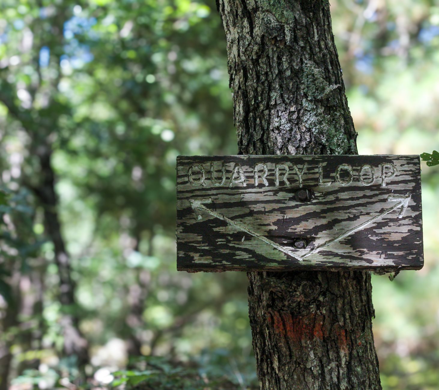
A 3-mile round trip with about a 500-ft descent to the American River, passing old gold panning sites along the way. Summer river swimming is genuinely popular here, and the trail is shared with mountain bikers, so stay alert on blind corners and yield appropriately. It’s free, with the trailhead off Highway 49 near the El Dorado County line, a good option if you’re combining an Auburn trip with anything further south.
American River Confluence Trail: Auburn’s best short canyon walk
A 2.5-mile round trip on flat canyon-bottom terrain, reaching the point where the North and Middle Forks of the American River meet. Swimming holes and visible historic gold mining debris both add interest along the way, and the trail is accessible year-round from the Old Foresthill Road trailhead, though it draws real crowds on hot summer weekends, so an early start pays off if solitude matters to you.
Best hiking trails near North Lake Tahoe, Placer County
Placer County’s slice of the Tahoe Basin sits on the lake’s northwest shore, where alpine granite and clear glacial lakes replace the canyon terrain found lower in the county, a completely different hiking experience just a 40-minute drive from Auburn.
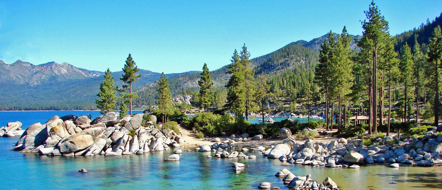
Five Lakes Trail: North Lake Tahoe’s best alpine lake day hike
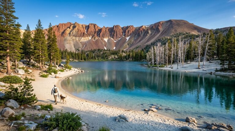
A 4.6-mile round trip with about 1,000 ft of gain from the Alpine Meadows Road trailhead, reaching a chain of five alpine lakes at 7,400–7,600 ft inside Granite Chief Wilderness. No permit is needed for a day hike, and the water is genuinely crystal clear, expect snow to linger on the trail into May or June some years, so check current conditions before an early-season attempt.
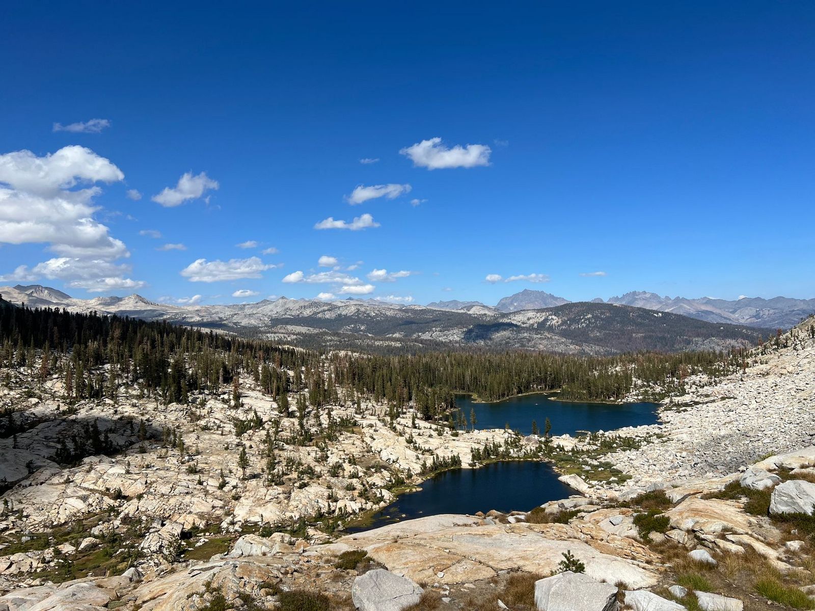
Shirley Lake Trail: Palisades Tahoe’s most scenic summer hike
A 3.2-mile round trip with about 1,200 ft of gain from the Palisades Tahoe base area (in Olympic Valley, formerly known by the resort’s original name, which was retired in 2021 after research confirmed its offensive connotations toward Native American women), climbing past granite boulders and wildflowers to a lake at 7,100 ft.
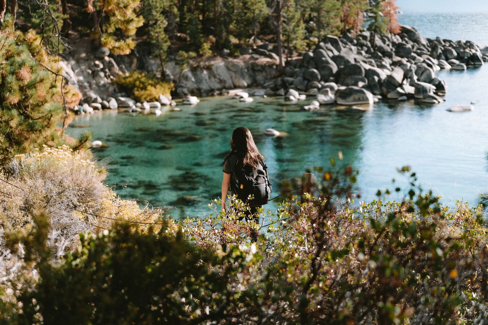
It connects to the Granite Chief Trail for hikers who want to extend the day, and the resort’s tram offers a paid shortcut for anyone who’d rather skip part of the climb; hiking from the base is free either way. Best July through September, once the snow has fully cleared and the wildflowers are at their peak.
Best hiking trails in the Placer County foothills
The foothills around Weimar, Colfax, and Loomis add a lower-elevation option with an earlier, gentler spring than the alpine zone offers, a smart choice in March or April when Tahoe trails are still buried, and Auburn’s canyon trails are already getting genuinely hot.
Folsom Lake State Recreation Area: Placer County’s best flat lakeside hiking
Folsom Lake SRA holds 75 miles of trail around the reservoir, with the Granite Bay day-use area as the main access point for Placer County visitors specifically (the lake itself spans both Placer and Sacramento county).
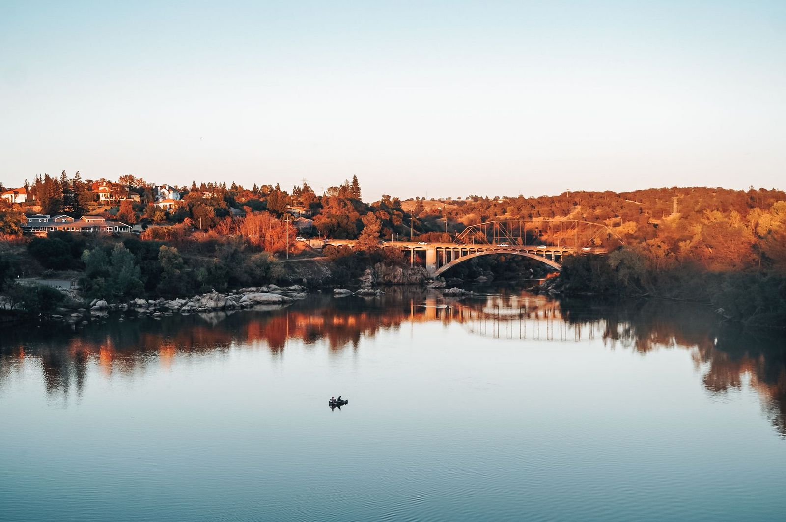
Doton’s Point delivers a genuine wildflower bloom, blue dicks, goldfields, and owl’s clover peaking February through April, and the park also maintains equestrian trails alongside standard hiking routes, so expect to share some sections with horseback riders. A $12 day-use fee applies, with no reservation required for hiking.
Placer County rewards the extra stop most Tahoe-bound drivers skip, American River canyon hiking, alpine lakes above Olympic Valley, and a genuine spring wildflower season all sit within the same county line, spanning an elevation range few California counties can match.
Check river conditions before swimming at any Auburn SRA trail, since dam releases can shift both water level and current strength with little warning, and treat the alpine Tahoe trails as a completely separate season from the canyon trails below given how differently snow and heat affect each zone.
Frequently asked questions about hiking trails in Placer County
What are the best hiking trails in Auburn, California?
The Western States Trail’s Confluence-to-No Hands Bridge section for genuine canyon history, the Cool-Quarry Trail for an easy beginner hike with river swimming, and the Confluence Trail for a short, flat canyon walk. All three sit within Auburn State Recreation Area and share the same general access corridor off Highway 49.
Is Auburn State Recreation Area free to hike?
Yes, the vast majority of trails inside Auburn SRA are free, with no day-use fee or reservation required for standard hiking. A handful of developed facilities within the park may charge separately, but the trail system itself is genuinely open access.
What hiking trails are near North Lake Tahoe?
Five Lakes Trail and Shirley Lake Trail both offer genuine alpine lake hiking from the Palisades Tahoe area in Olympic Valley, while the flat, paved Tahoe City Lakeside Trail offers an easier lakeside option nearby for anyone who wants scenery without real elevation gain; more North Shore options are covered in our dedicated Lake Tahoe guide.
Can I swim in the American River while hiking at Auburn SRA?
Yes, at several popular spots including the Cool-Quarry Trail and the Confluence Trail, both well-known local swimming destinations in summer. Check current water levels first, since dam releases can change conditions with little notice, and the river can run faster and colder than it looks from the bank.
What is the Western States Trail and can I day hike it?
It’s a historic gold rush supply route that’s now the course for the famous Western States 100 ultramarathon, one of trail running‘s most prestigious races, and yes, it’s genuinely day-hikeable in shorter sections like the roughly 6-mile Confluence-to-No Hands Bridge stretch; no need to attempt the full 100 miles or any kind of racing pace.
What are the best beginner hiking trails in Placer County?
The Cool-Quarry Trail and the American River Confluence Trail are both short, well-marked, and free, solid choices for a first Auburn SRA hike, especially with summer river swimming as a built-in reward at the end of either one.