Hiking Trails in Nevada County, California
Hiking trails in Nevada County pair a wild, granite-carved river canyon with high Sierra alpine terrain near Donner Summit, all within about an hour of historic Nevada City and Grass Valley’s artisan-town culture. I’ve spent four-plus years cataloging trails across this state, and Nevada County consistently gets overlooked by hikers heading straight for Tahoe or Yosemite, which is exactly why it rewards the people who actually stop here.
Disclosure: Please note that some of the links below are affiliate links and at no additional cost to you, I may earn a commission. Know that I only recommend hiking gear I personally stand behind; when you use my affiliate links, it helps me run this blog and keep all of this content free of charge for readers (like you).
With genuinely uncrowded trails and swimming holes that feel worlds away from the traffic on I-80 a short drive away. This guide covers all three of the county’s hiking zones, plus an important update on one of its most historically significant trails that older guides haven’t caught up with.
Key takeaways:
- Nevada County spans three hiking zones: the South Yuba River canyon, the Tahoe National Forest and Donner Summit area, and the Gold Country foothills around Grass Valley and Nevada City.
- The Independence Trail, historically the first wheelchair-accessible wilderness trail in the U.S., has real current damage from the 2020 Jones Fire: the West branch is closed indefinitely, and the East branch has an unsafe flume near its own trailhead.
- The Bridgeport Covered Bridge is genuinely the longest single-span wooden covered bridge in the United States, reopened in 2021 after a decade-long, $6.9 million restoration.
- Donner Summit and Tahoe National Forest trails typically hold snow into June, so confirm conditions before a spring trip.
- Swimming holes along the South Yuba are a major summer draw: Purdon Crossing and the area below Bridgeport are the most popular.
Related
- 5 Best Hiking Trails in Nevada City, Nevada County
- 5 Best Hiking Trails in the Tahoe National Forest, Nevada County
Why Nevada County is the Sierra foothills’ best-kept hiking secret
Nevada County’s hiking profile includes South Yuba River State Park’s wild river canyon trails, Tahoe National Forest’s high country near Donner Summit (including PCT access), and the Gold Country foothills around historic Nevada City and Grass Valley. It offers a genuinely varied hiking base most visitors don’t expect this close to the interstate, and one that rewards a multi-day visit far more than a quick pass-through on the way to Tahoe. That same foothill-to-alpine range continues south into the hiking trails in Placer County, Nevada County’s closest neighbor for a Gold Country-to-Tahoe day.
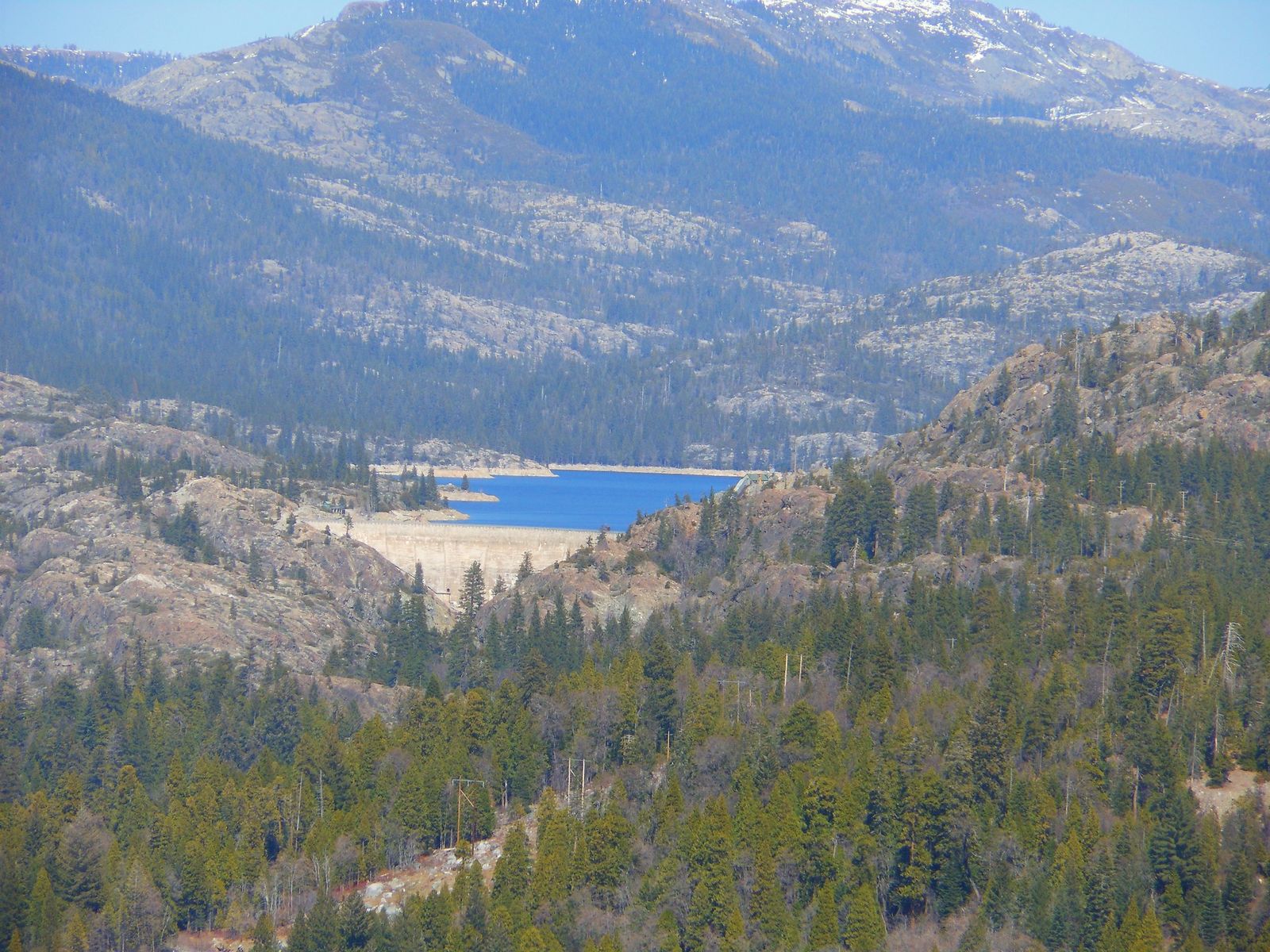
Nevada County’s three hiking zones
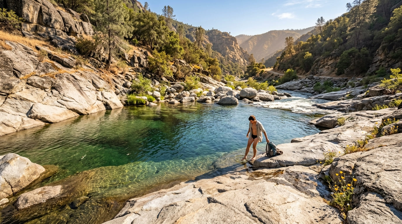
The South Yuba River Canyon (Independence Trail, Bridgeport, Purdon and Edwards Crossings) offers granite-carved river scenery, swimming holes, and spring wildflowers, following the river for roughly 20 miles through a series of connected park units.
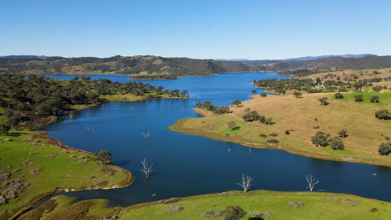
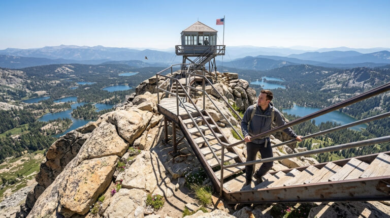
The Tahoe National Forest zone, centered on Donner Summit, delivers real alpine terrain; the PCT crosses here, and historic emigrant trail markers trace the route Gold Rush-era travelers used to cross the Sierra, adding a genuine historical layer to the granite-and-lake scenery.
And the Gold Country foothills around Grass Valley add a network of local trails, Scotts Flat Reservoir, and Bear River access closer to town for shorter outings, useful for anyone based in the historic downtown area who doesn’t want to drive an hour each way for a hike. The same foothill terrain continues west into Yuba County, worth knowing if Grass Valley isn’t the only Gold Country stop on your trip.
Best hiking trails in South Yuba River State Park, Nevada County
South Yuba River State Park protects 20 miles of river canyon in a “string of pearls” of separate park units connected by the river itself, with clear granite swimming holes and reliable spring wildflowers.
Independence Trail: Nevada County’s most historic accessible trail (check current status)
The Independence Trail, converted from a network of 1850s gold mining water flumes, was historically the first identified wheelchair-accessible wilderness trail in the United States, with East and West branches running 2 and 3 miles round-trip respectively from a shared trailhead off Highway 49, passing a viewpoint at Rush Creek Falls along the way.
As of current park alerts, though, real damage from the 2020 Jones Fire affects both branches: the West branch is closed for the foreseeable future, and Flume 22, located about a quarter mile from the East branch’s own trailhead, has been rendered unsafe by ongoing landslide erosion, with state park crews describing the needed repair work as extensive rather than a quick fix.
Call the Sierra District Office or check the official South Yuba River State Park site before planning a trip specifically around this trail’s historic accessibility, since the closure directly affects the population the trail was originally built to serve, not just casual hikers looking for an easy walk.
Purdon Crossing: South Yuba River’s best swimming hole hike
At about 2 miles round-trip on easy terrain, this trail leads to one of the South Yuba’s most popular swimming holes: cold, clear granite pools that draw real crowds on summer weekends once temperatures climb into the 90s in the foothills.
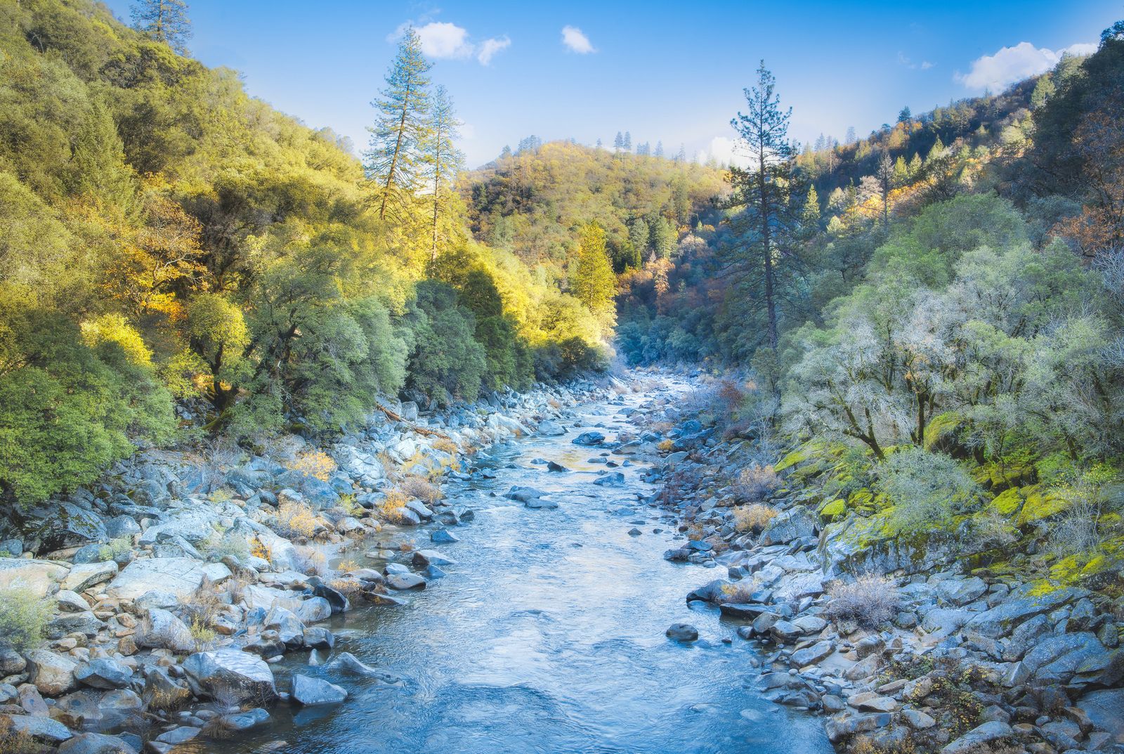
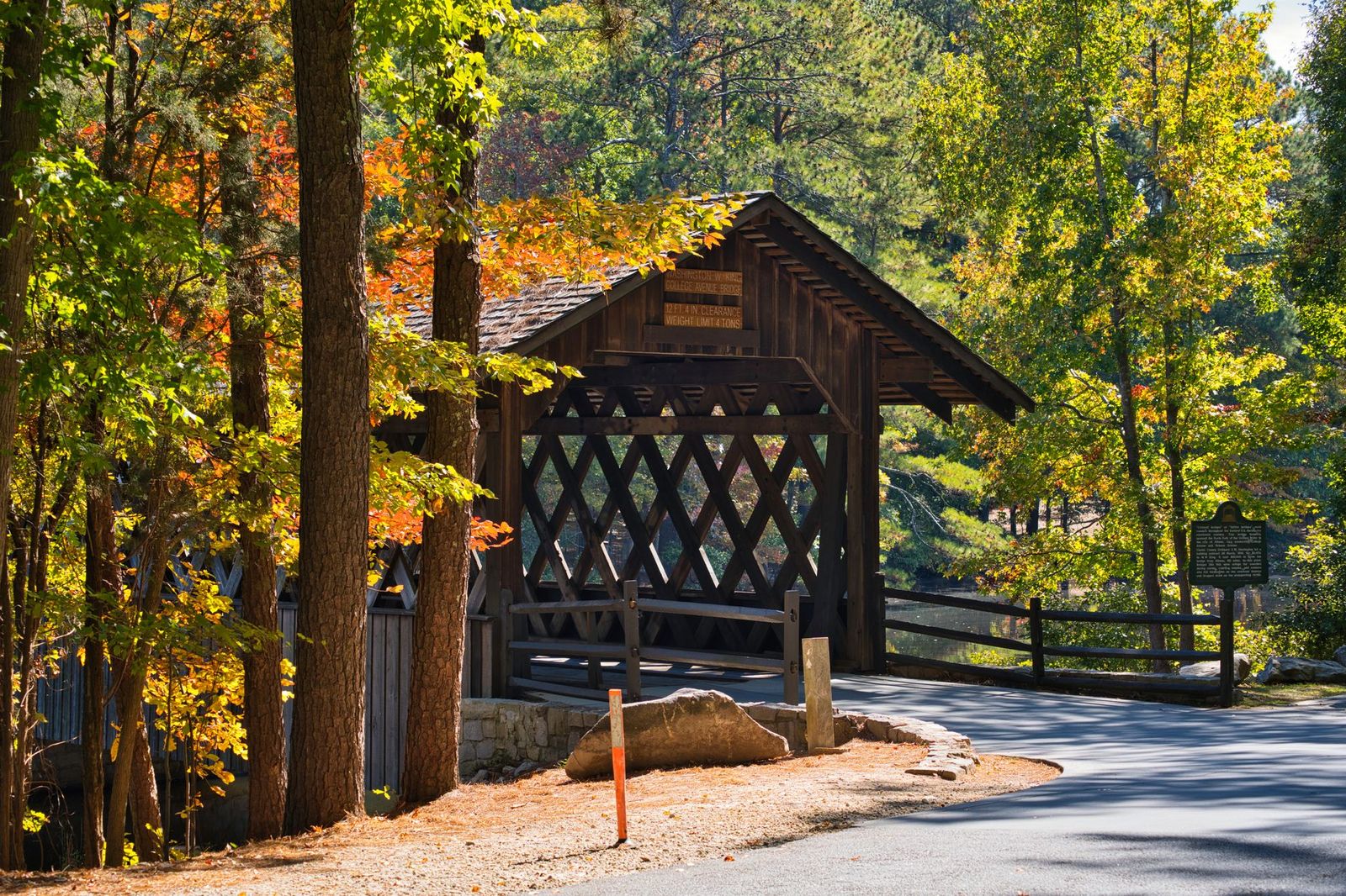
The access road is dirt and high-clearance is recommended, and the historic Bridgeport Covered Bridge (genuinely the longest single-span wooden covered bridge in the United States, reopened in 2021 after a decade-long, $6.9 million restoration) sits nearby as a worthwhile add-on stop, connecting hiking trails on both banks of the river.
Best hiking trails near Donner Summit, Nevada County
Donner Summit sits at 7,239 ft, where the Pacific Crest Trail crosses, and historic emigrant trail markers still trace the route Gold Rush-era wagon trains used to cross the Sierra. It is a genuinely significant historical corridor alongside the recreational hiking, and one where you’re literally walking sections of the same route thousands of emigrants used in the 1840s and 1850s.
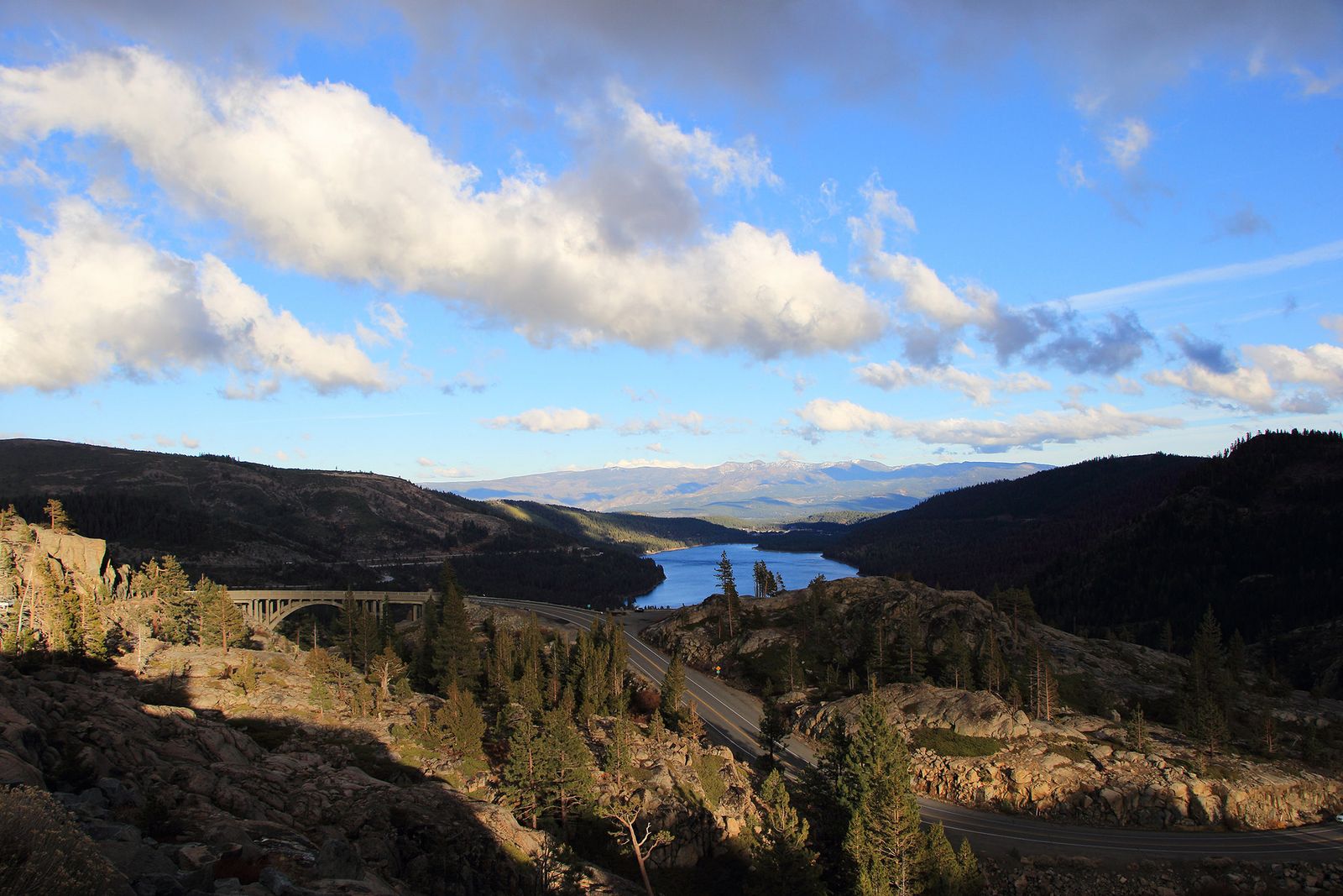
Loch Leven Lakes Trail: Donner Summit’s best alpine lake day hike
At 7.2 miles round-trip with about 1,200 ft of total gain from the Big Bend trailhead off I-80, this trail reaches three alpine lakes (Lower, Middle, and High Loch Leven) through classic granite Sierra terrain, intersecting the PCT along the way.
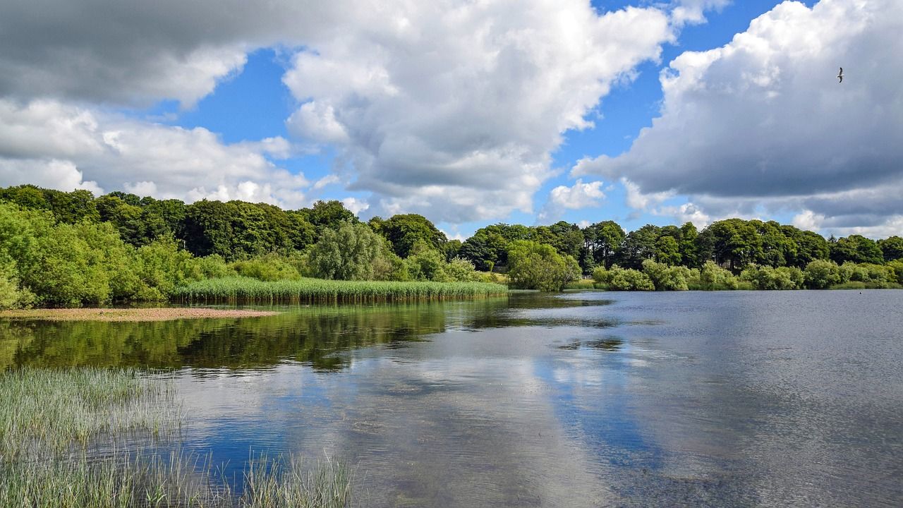
No permit is required, though snow can linger into June depending on the year, so check current conditions before an early-season attempt rather than assuming a June calendar date guarantees clear trail.
Castle Peak Trail: Donner’s best summit with PCT views
At 5.4 miles round-trip with about 1,700 ft of gain from the Castle Valley trailhead off I-80, this trail climbs to a 9,103 ft summit with genuine PCT corridor views and wildflower meadows on the approach. Snowfields are possible into June or July depending on the year; no permit is required, and the summit view stretches across a real cross-section of the northern Sierra crest on a clear day.
Best hiking trails in the Tahoe National Forest, Nevada County
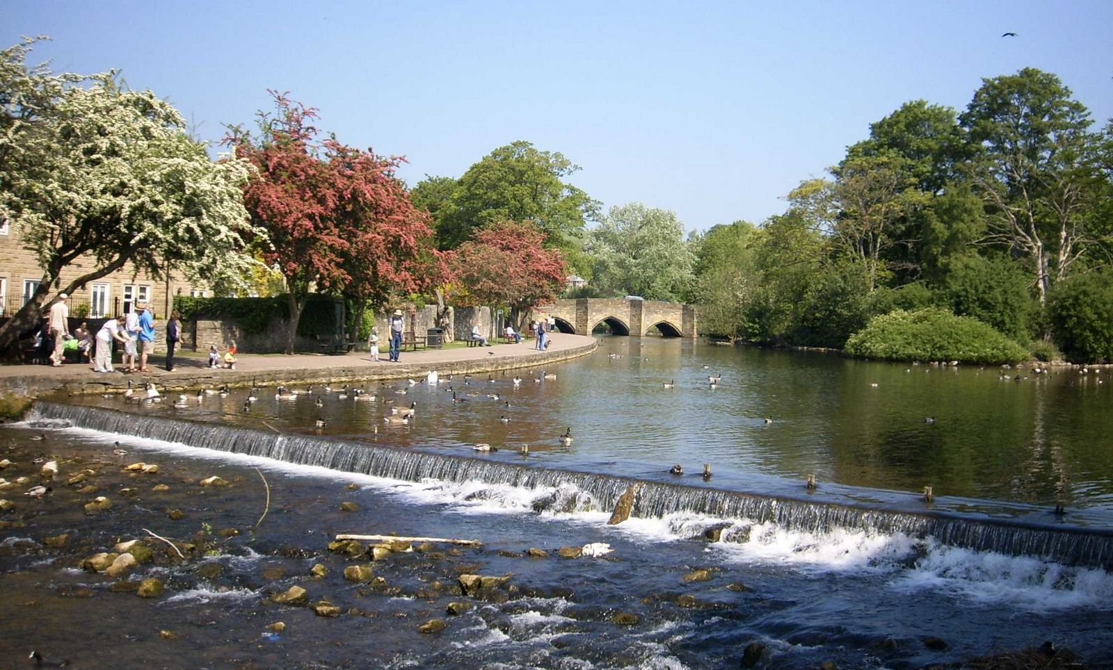
The Nevada County section of Tahoe National Forest (Cascade Lakes, Carr Lake, Lindsey Lake, and the Grouse Ridge area near Emigrant Gap) sees noticeably less traffic than the more famous trails around South Lake Tahoe, despite comparable alpine scenery and a similar concentration of granite basins and small lakes.
Grouse Ridge area: Nevada County’s best high country lake hopping
From the Grouse Ridge trailhead at 6,200 ft, an 8-mile round-trip loop reaches Glacier Lake and passes close to six small alpine lakes total, with about 1,000 ft of gain across the full loop, making it genuinely one of the best lake-hopping days in the northern Sierra for the relatively modest elevation gain involved.
The access road is dirt and high-clearance is recommended; no permit is required, and July through October is the reliable snow-free window for this route, with wildflowers typically peaking in the earlier part of that season.
Best hiking trails near Grass Valley and Nevada City
Closer to town, Grass Valley and Nevada City offer shorter, easier trail options for anyone not planning a full day trip into the canyon or high country, making them a good fallback if you’re staying downtown and want a hike that doesn’t eat up half your day in driving.
Bridgeport area trail: Nevada County’s best family-friendly river hike
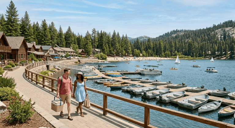
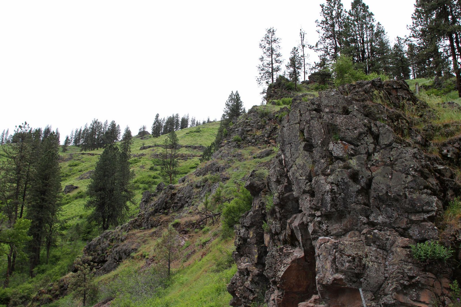
A flat, roughly 1-mile trail connects the Bridgeport parking area to the historic covered bridge and the swimming holes just downstream, making this the most accessible family option in the South Yuba corridor. April through May brings the best wildflower displays, and it’s genuinely one of the most popular summer destinations in the county.
Be sure to arrive early on weekends, since parking fills fast once temperatures climb and families start arriving for a full day at the swimming holes. Loaner life jackets are available at the park for anyone swimming with kids, a nice, easy-to-miss detail worth knowing before you pack your own gear.
If you’re building broader hiking skills, our hiking safety guide covers water-crossing and swimming-hole safety worth reviewing before a South Yuba trip, and checking a trail’s current difficulty rating matters especially for the higher-elevation Donner Summit routes in this guide.
Frequently asked questions: hiking trails in Nevada County
How many wheelchair accessible hiking trails are in Nevada County?
The Independence Trail at South Yuba River State Park was historically the first identified wheelchair-accessible wilderness trail in the U.S., but both branches currently face access limitations due to 2020 Jones Fire damage on the West branch and Flume 22 erosion on the East branch. Confirm the current status directly with the park before relying on it for accessible hiking.
What are the best hiking trails near Nevada City, California?
The South Yuba River corridor (Purdon Crossing, Bridgeport) and the Grass Valley-area local trail network are the closest strong options, both within a short drive of downtown Nevada City.
Is the South Yuba River State Park trail easy?
Most of the park’s popular trails, including Purdon Crossing and the Bridgeport area trail, are easy and mostly flat, though both branches of the Independence Trail currently have real access limitations from 2020 Jones Fire damage and landslide erosion on Flume 22, so check current status before you rely on its accessibility.
What hiking trails are near Donner Summit in Nevada County?
Loch Leven Lakes and Castle Peak are the two strongest options, both reachable from I-80 exits near Donner Summit, with the Pacific Crest Trail crossing directly through the area and historic emigrant trail markers adding a real historical layer to the hike.
Are there swimming holes accessible by hiking trail in Nevada County?
Yes: Purdon Crossing and the area just downstream of the Bridgeport Covered Bridge are the two most popular, both offering cold, clear granite pools that draw real summer crowds.
What are the best spring wildflower hikes in Nevada County?
The South Yuba River corridor, especially the Bridgeport area and Purdon Crossing trails, sees the county’s best wildflower displays, typically peaking April through May.