5 Best Hiking Trails in the Stanislaus National Forest, Tuolumne County
This is the one guide in this county series that has nothing to do with Yosemite National Park at all, the Highway 108/Sonora Pass corridor and the Emigrant Wilderness sit entirely outside the park boundary, a genuinely different kind of Sierra Nevada hiking than the Yosemite Big Oak guide. These five trails span a family resort lake, a volcanic curiosity that rivals a much more famous formation, and a wilderness area most Bay Area hikers have never heard of, despite it being one of the largest in Northern California. Highlighting Stanislaus National Forest Hiking Trails is the best way to escape the crowds and see a totally different side of the Sierra.
Disclosure: Please note that some of the links below are affiliate links and at no additional cost to you, I may earn a commission. Know that I only recommend hiking gear I personally stand behind; when you use my affiliate links, it helps me run this blog and keep all of this content free of charge for readers (like you).
Key takeaways
- Best family option: Pinecrest Lake Loop, a flat lakeside walk at a full-service resort with swimming, boat rentals, and a village center.
- Most unusual geology: Columns of the Giants, hexagonal basalt columns from an ancient lava flow, genuinely comparable to Devils Postpile, and one of the shortest trails in this entire county series.
- Best wilderness day hike: Relief Reservoir, a granite-ringed lake deep in the Emigrant Wilderness trail system, with a real naming mix-up worth knowing about before you go.
- Easiest wilderness entry point: Burst Rock and Y Meadow Lake, a genuinely beginner-friendly way to experience the Emigrant Wilderness without a long commitment.
- Most remote, and the one with real access corrections: Bull Run Lake, a genuinely worthwhile alpine lake, but reached from a completely different highway and ranger district than the rest of this guide.
- Two access seasons matter here: Sonora Pass itself (one of the Sierra’s highest, latest-opening highway passes) and the Emigrant Wilderness permit system, which is free but required for anything overnight.
How these five Stanislaus National Forest trails compare
| Trail | Round-trip distance | Elevation gain | Difficulty | Best for |
|---|---|---|---|---|
| Pinecrest Lake Loop | ~3.9-4.5 mi | ~357 ft | Easy | Family resort, swimming |
| Columns of the Giants | ~0.5-1 mi | Minimal | Very easy | Volcanic geology |
| Relief Reservoir | ~9.5 mi | ~1,300 ft | Moderate-strenuous | Wilderness reservoir, fall aspen |
| Burst Rock & Y Meadow Lake | ~5 mi | ~600 ft | Moderate | Easiest wilderness entry |
| Bull Run Lake | ~7.8-8.2 mi | ~1,500 ft | Strenuous | Remote alpine lake |
Pinecrest Lake Loop Trail
This is the trail for anyone who wants a real Sierra lake experience without leaving pavement or amenities behind, a genuine resort village sits right at the trailhead.
Trailhead access and parking at Pinecrest Lake, Highway 108
A large Forest Service day-use lot serves the lake directly off Highway 108, about 30 miles east of Sonora, the most developed, resort-adjacent trailhead in this entire guide, with groceries and services available in the Pinecrest commercial center nearby. The loop trail itself has no separate fee, though developed day-use and camping areas within the broader recreation area do.
Difficulty, distance and elevation gain around Pinecrest Lake
The full loop runs roughly 3.9 to 4.5 miles around the lake’s perimeter with about 357 feet of elevation gain, an easy, mostly flat profile with some boulder scrambling in spots, well suited to a wide range of visitors including families.
What you’ll see: a family resort lake ringed by Sierra forest
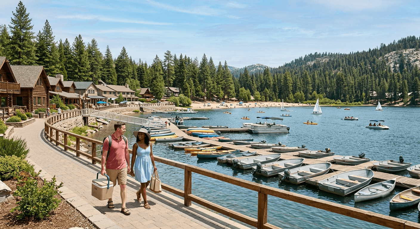
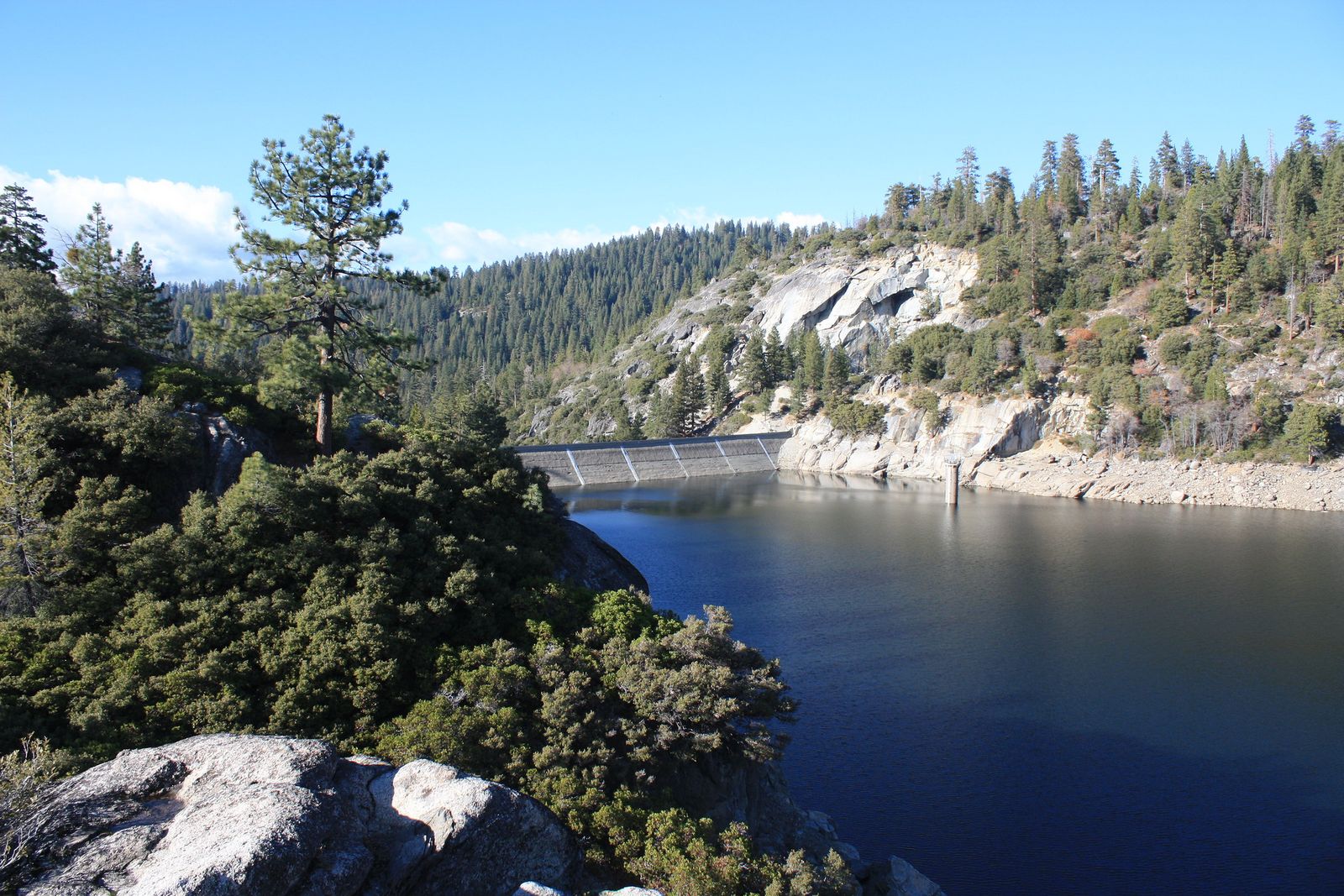
Pinecrest Lake is a 300-acre reservoir with a full-service resort village, sandy beach, marina, and boat rentals, genuinely the most amenity-rich stop in this entire county series. Adventurous hikers can also find an unofficial use-trail partway around the loop leading to Cleo’s Bath, a series of deep swimming pools in the feeder creek, though it requires a genuine scramble up old moraine rock to reach.
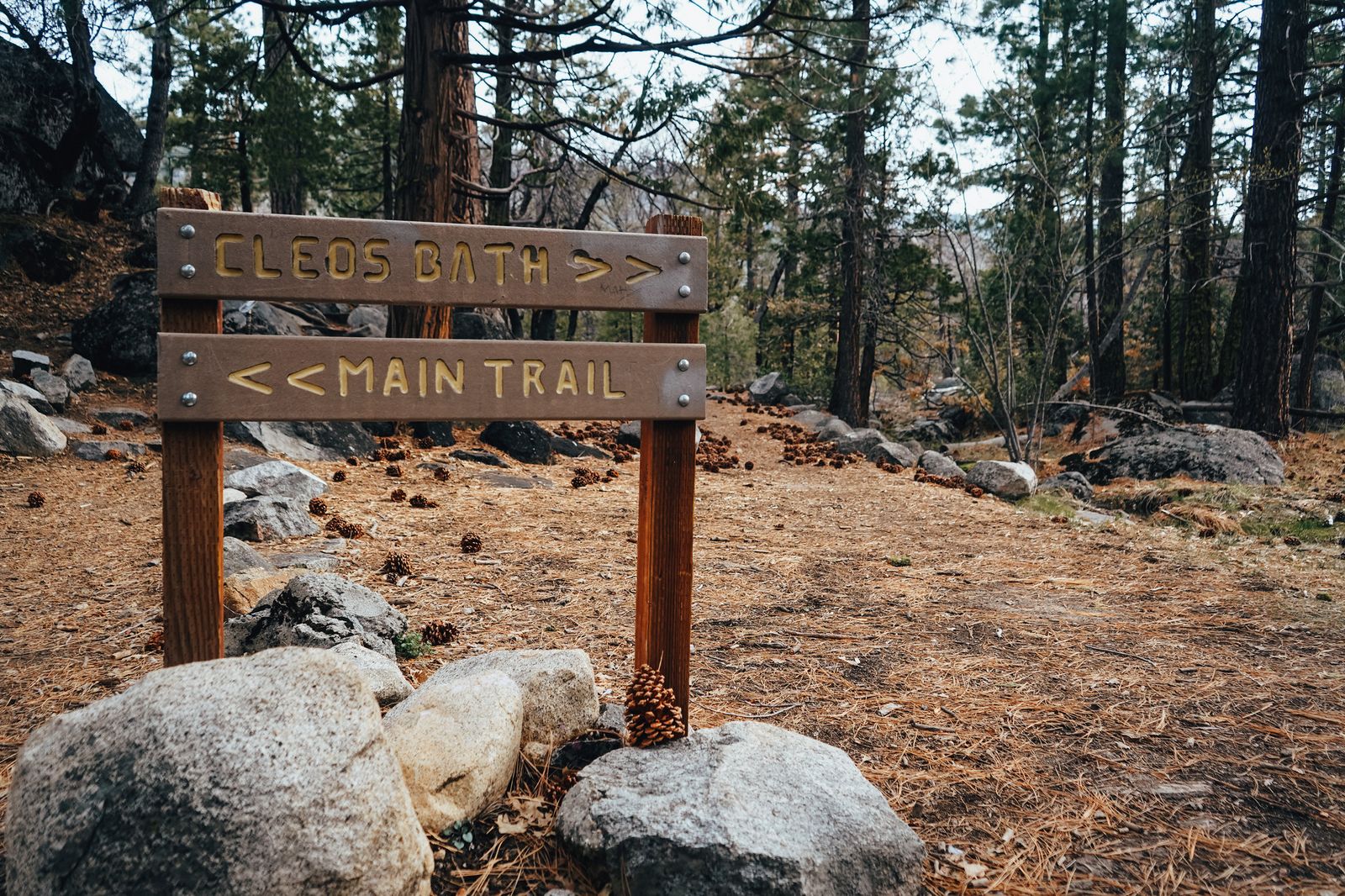
Best time to hike Pinecrest Lake: summer for swimming and boat rentals
This is squarely a summer destination, swimming, boating, and the resort’s full seasonal operations all run roughly Memorial Day through Labor Day, with the trail itself walkable well beyond that window from March through November.
Columns of the Giants Trail
This is the shortest trail in this entire guide, and also one of the more genuinely unusual geologic sights in the Sierra Nevada, hexagonal basalt columns you’d more likely associate with Devils Postpile, several hours south.
Trailhead access and parking at the Pigeon Flat Picnic Area, Sonora Pass
The trailhead sits next to Pigeon Flat Campground, about 24 miles east of Pinecrest on Highway 108, a seasonal, high-elevation stop that’s only reachable once Sonora Pass opens for the year.
Difficulty, distance and elevation gain to the Columns of the Giants
This is genuinely the easiest trail in this guide: roughly 0.5 to 1 mile round trip with minimal elevation change, an easy walk to a dramatic geologic payoff that takes almost no physical effort to reach.
What you’ll see: hexagonal basalt columns formed by an ancient lava flow
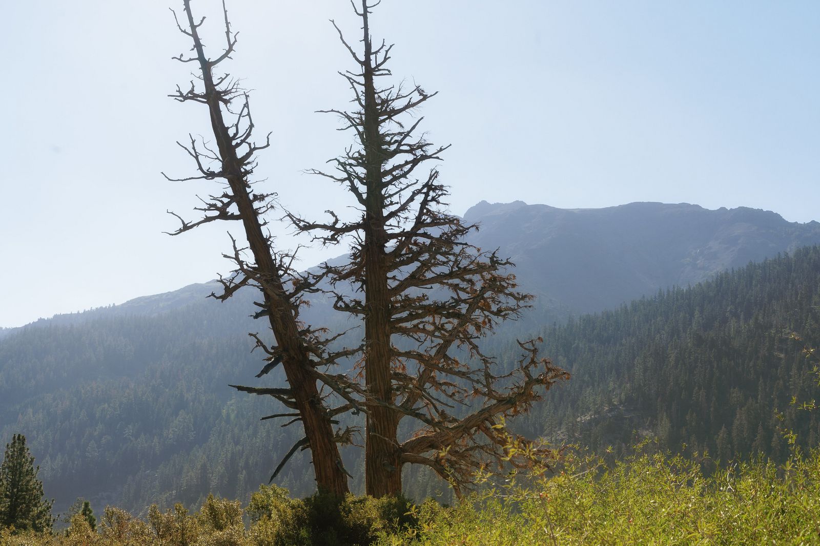
These tall, hexagonal basalt columns formed when a lava flow filled an ancient riverbed and cooled slowly enough to crack into distinct, multi-sided pillars, the same geologic process behind the more famous Devils Postpile, and genuinely comparable in appearance despite the far smaller crowds here.
Best time to hike Columns of the Giants: summer only, since Sonora Pass closes in winter
Sonora Pass is one of the highest and latest-opening highway passes in the Sierra Nevada, closed by snow for roughly half the year, this trail simply isn’t reachable outside the pass’s open season, typically sometime between late spring and early summer through the first snows of fall.
Relief Reservoir Trail
This is the best full wilderness day hike in this guide, and also where I want to flag a genuine naming mix-up before it causes anyone confusion.
Trailhead access and parking at Kennedy Meadow Resort, Emigrant Wilderness (permit required)
Here’s the disambiguation: this Kennedy Meadow Resort sits on Highway 108’s Sonora Pass corridor, in Tuolumne County, a completely different place from the far more famous “Kennedy Meadows” near Lone Pine in Tulare County, which most Pacific Crest Trail hikers know as the major gateway between the desert sections and the High Sierra.
Both happen to see some PCT traffic, which only adds to the confusion, but they’re roughly 200 miles apart. A free wilderness permit, available at the Summit Ranger Station near Pinecrest, is required for overnight trips into the Emigrant Wilderness from here; day hikes don’t need one.
Difficulty, distance and elevation gain to Relief Reservoir
Plan on roughly 9.5 miles round trip with about 1,300 feet of elevation gain along a moderately graded trail into the wilderness interior, a long day hike, genuinely achievable without an overnight stay for a reasonably fit hiker starting early.
What you’ll see: a granite-ringed reservoir deep in the Emigrant Wilderness
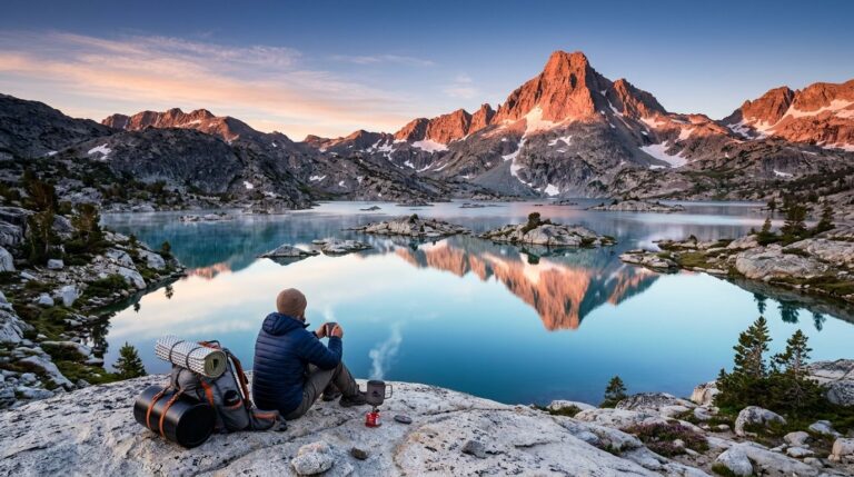
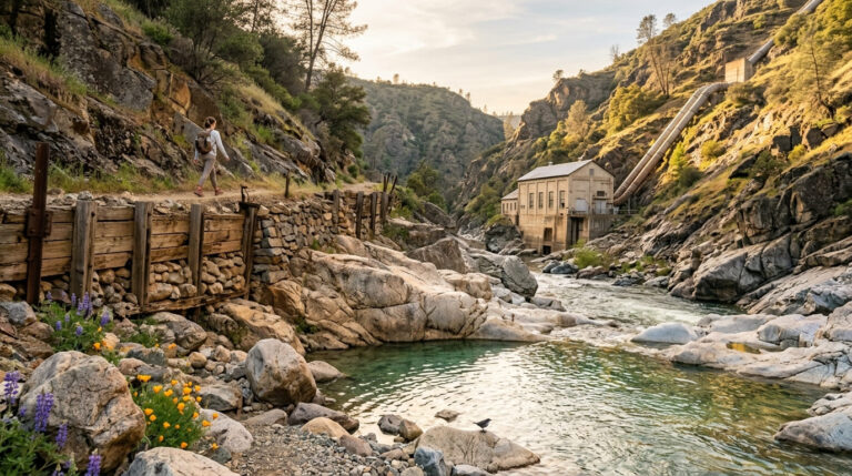
Relief Reservoir sits surrounded by granite peaks within the 113,000-acre Emigrant Wilderness, with the abandoned remnants of the early-1900s dam-building operation still visible along the approach, a genuine backcountry reservoir, reached only by trail rather than any drive-up access.
Best time to hike Relief Reservoir: fall for the best aspen color along the trail
Aspen groves along the approach trail turn a real gold in fall, a different seasonal draw than the pure access-window logic that governs Columns of the Giants, this is one of the better fall color hikes in the county, worth pairing with our dedicated fall foliage guide if that’s what brings you out this way.
Burst Rock & Y Meadow Lake Trail
If Relief Reservoir sounds like more wilderness commitment than you want, this is the easier on-ramp, a genuinely gentler introduction to the same Emigrant Wilderness.
Trailhead access and parking at the Crabtree Trailhead, Emigrant Wilderness (permit required)
The Crabtree Trailhead, reached via Crabtree Road near the Dodge Ridge ski area, is widely considered the easiest entry point into the Emigrant Wilderness, the same free permit system applies as at Kennedy Meadows for any overnight stay.
Difficulty, distance and elevation gain to Burst Rock and Y Meadow Lake
Figure roughly 5 miles round trip with about 600 feet of elevation gain, a notably gentler profile than Relief Reservoir, well suited to hikers who want a real wilderness taste without a full-day commitment.
What you’ll see: a granite overlook and a small lake popular with beginners
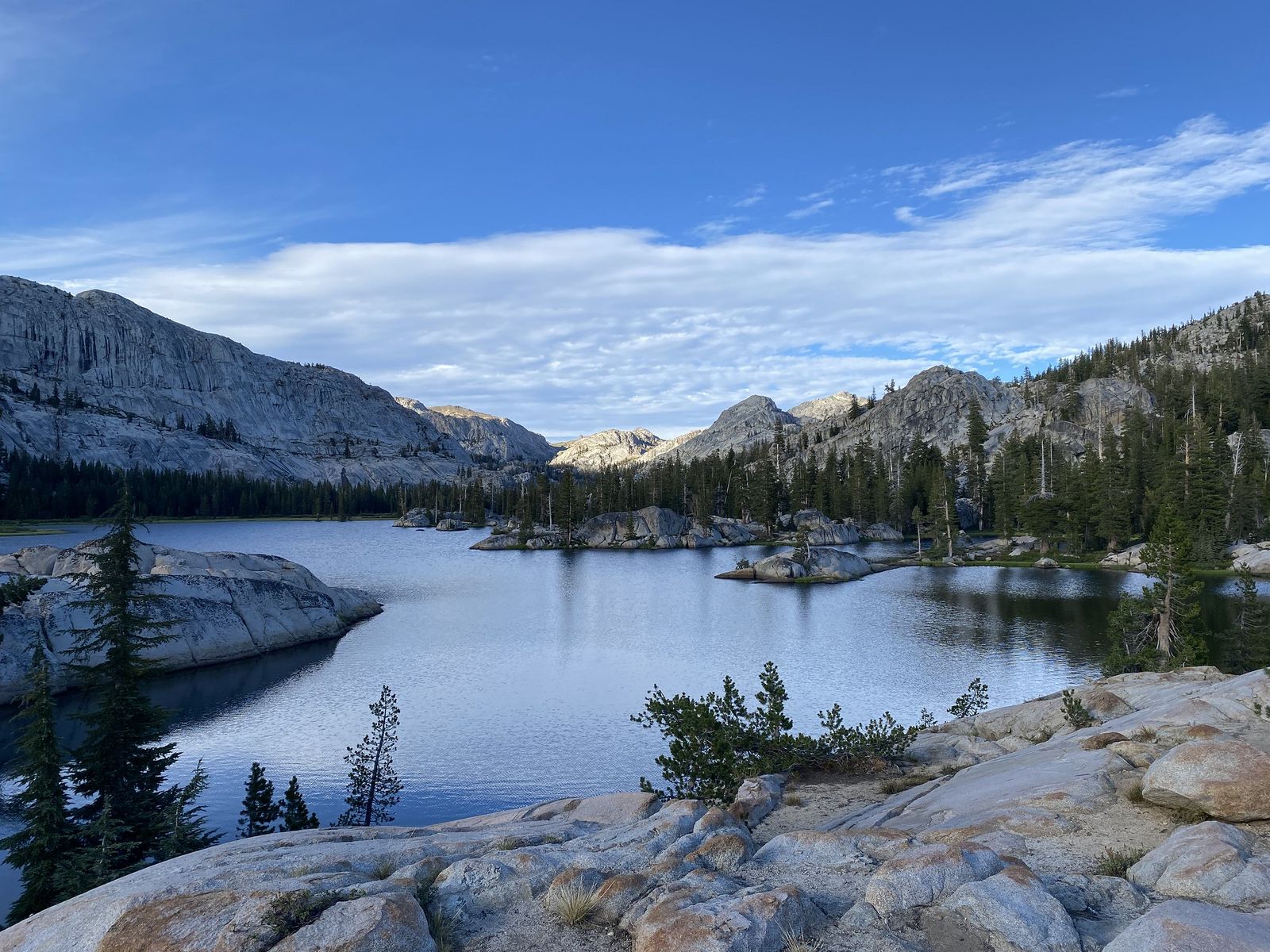
Burst Rock itself is an open granite overlook with sweeping views of the Stanislaus River watershed, following the same ridge that 1850s emigrant wagon trains once crossed on their way toward Sonora, a nice bit of the wilderness area’s namesake history. Y Meadow Lake beyond it is small, easily reached, and a genuinely good choice for hikers new to backcountry terrain, though the final stretch can be harder to follow where it crosses open granite slabs.
Best time to hike Burst Rock: an accessible entry point into Emigrant Wilderness
This trail works well for most of the snow-free season, and its shorter distance makes it a more forgiving choice than Relief Reservoir if you’re testing whether backcountry hiking is for you before committing to something longer.
Bull Run Lake Trail
I need to correct several details on this one, because the heading data commonly associated with this trail doesn’t match its actual access point.
Trailhead access and parking, a real correction on where this trail actually starts
This is not an Eagle Meadow Road trailhead. Multiple current, independent sources, including the Forest Service’s own recreation page, confirm Bull Run Lake is reached from the Stanislaus Meadow Trailhead off Highway 4, near Lake Alpine, in the Calaveras Ranger District. That’s a genuinely different highway corridor and forest district than every other trail in this guide, all of which sit along the Highway 108 corridor.
Eagle Meadow Road, by contrast, leads to Eagle Meadow itself and the short Trail of the Ancient Dwarfs, a real destination, just not this one. A wilderness permit is required for overnight stays in the Carson-Iceberg Wilderness, which this trail enters, available at the trailhead register.
Difficulty, distance and elevation gain to Bull Run Lake, also corrected
This is a second correction worth making clearly: this trail runs roughly 7.8 to 8.2 miles round trip with about 1,500 feet of elevation gain, not the much shorter distance sometimes associated with this trail name. Creek crossings can be genuinely difficult depending on seasonal flow, and multiple trail reports describe sections as hard to follow across open granite.
What you’ll see: a secluded lake in the Carson-Iceberg Wilderness, a third correction
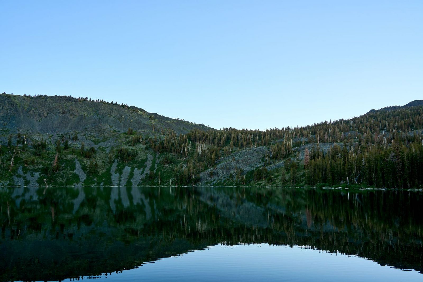
One more geography note: this lake sits near the Carson-Iceberg Wilderness, not near Yosemite’s backcountry boundary. It’s genuinely remote and quiet, a granite-basin alpine lake reflecting the cliffs of Bull Run Peak, but it’s a meaningfully different part of the Sierra Nevada than the Yosemite-adjacent trails covered elsewhere in this county series. Given how easy this trail is to lose in spots, our navigation hazards on California trails guide is worth reading before you attempt it.
Best time to hike Bull Run Lake: midsummer, once creek crossings ease and the access road opens
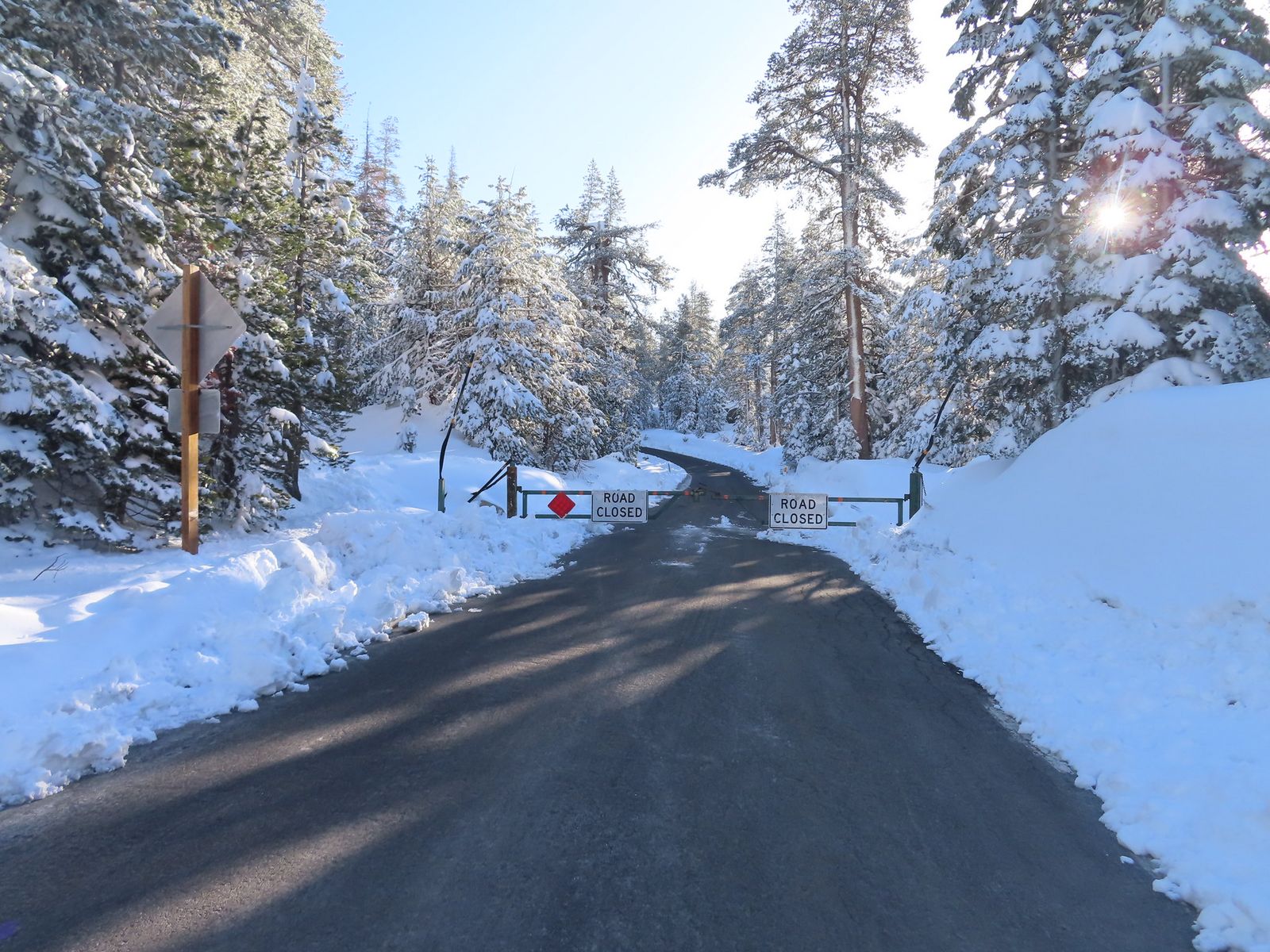
The unpaved approach and the trail’s creek crossings are both seasonal, midsummer through early fall, once spring runoff has eased, is the most reliable window.
The bottom line
Start with Pinecrest Lake if you want a low-effort resort day, or Columns of the Giants if you’re already driving Sonora Pass and have twenty minutes to spare. Relief Reservoir and Burst Rock both open the door to the Emigrant Wilderness at two very different commitment levels, pick based on how much day you want to commit.
Bull Run Lake is worth the drive; just make sure you’re actually driving to the right trailhead. This guide is part of our full Tuolumne County hiking guide, alongside the Tuolumne Meadows guide if you want to compare this non-Yosemite corridor to the park’s own high country.
Frequently asked questions about hiking trails in the Stanislaus National Forest, Tuolumne County
Do you need a permit to hike in the Emigrant Wilderness?
Only for overnight stays, day hikes to Relief Reservoir, Burst Rock, and Y Meadow Lake don’t require one. Overnight permits are free and available at the Summit Ranger Station near Pinecrest.
Is Sonora Pass open year-round?
No, it’s one of the highest, latest-opening highway passes in the Sierra Nevada, closed by snow for roughly half the year. Trails along the pass itself, like Columns of the Giants, simply aren’t reachable outside its open season.
Is Pinecrest Lake good for swimming?
Yes, it has a designated swimming area, boat rentals, and a full resort village, making it the most amenity-rich, family-friendly option in this entire guide.
What are the Columns of the Giants?
Hexagonal basalt columns formed when an ancient lava flow filled a riverbed and cooled into distinct, multi-sided pillars, geologically similar to the more famous Devils Postpile, reached via one of the shortest trails in this county series.
Is Bull Run Lake hard to reach?
It’s a genuine backcountry hike at roughly 8 miles round trip with real elevation gain and sometimes-difficult creek crossings, and importantly, it’s reached from a Highway 4 trailhead near Lake Alpine, not from Eagle Meadow Road off Highway 108 as it’s sometimes described.
Is Stanislaus National Forest connected to Yosemite?
The Emigrant Wilderness portion borders Yosemite National Park along its southern edge, but the forest as a whole, including every trail in this guide, sits entirely outside the park, administered separately by the U.S. Forest Service rather than the National Park Service.