Best Hiking Trails in Tuolumne County, California
Hiking Trails in Tuolumne County stretches from Yosemite’s high-elevation eastern reaches down through Stanislaus National Forest to the remote Emigrant Wilderness, covering more than 800 miles of trail between roughly 2,000 ft and 13,000 ft in elevation. I’ve spent four-plus years cataloging trails across this state, and Tuolumne County is the one place I send hikers who want genuine Yosemite-caliber alpine scenery without fighting Yosemite Valley’s crowds, Tuolumne Meadows delivers a completely different, far less congested experience than the Valley floor most visitors picture, even though it’s still technically the same national park.
Disclosure: Please note that some of the links below are affiliate links and at no additional cost to you, I may earn a commission. Know that I only recommend hiking gear I personally stand behind; when you use my affiliate links, it helps me run this blog and keep all of this content free of charge for readers (like you).
This guide covers all three of the county’s hiking zones, plus the seasonal access details that catch people off guard most, including one change to Yosemite’s entry system that’s worth knowing before you plan around outdated advice.
Key takeaways:
- Tuolumne County spans three distinct hiking zones: Yosemite’s high country (Tuolumne Meadows), Stanislaus National Forest, and the remote Emigrant Wilderness.
- Yosemite has no reservation or timed-entry system for the 2026 season, a real change worth knowing if you’re planning around older advice.
- Tioga Road, the only way to drive into Tuolumne Meadows, typically opens late May through early June and closes by November, though the exact dates shift year to year with snowpack.
- Stanislaus National Forest’s lower-elevation trails around Groveland and Pinecrest Lake stay open essentially year-round, unlike the high country above them.
- Wilderness permits are still required for any overnight backcountry trip in this county, regardless of the entry-reservation change.
Related:
- Easy & Short Hikes in Yosemite National Park
- Hetch Hetchy Hiking & Wapama Falls Guide
- Yosemite National Park Maps & Trailhead Navigation Guide
- Emigrant Wilderness Hiking & Permit Guide
- Yosemite Permits & Wilderness Access Guide
- Yosemite Weather by Month: Winter, October, January & More
- 5 Best Hiking Trails in Yosemite’s Tuolumne Meadows
- 5 Best Hiking Trails Near Yosemite’s Southern Entrance, Tuolumne County
- 5 Best Waterfall Hiking Trails in Tuolumne County
- 5 Best Hiking Trails in the Stanislaus National Forest, Tuolumne County
- 5 Best Hiking Trails for Fall Foliage in Tuolumne County
Why Tuolumne County is the Sierra Nevada’s best hiking gateway
Tuolumne County encompasses Yosemite’s eastern high country (Tuolumne Meadows), the 898,000-acre Stanislaus National Forest, and the Emigrant Wilderness, with Groveland and Sonora serving as the county’s main gateway towns for anyone approaching from the west. Unlike Mariposa County to the south, which funnels most visitors straight into Yosemite Valley, Tuolumne County’s access points spread traffic across genuinely different elevations and experiences.
Tuolumne County’s three hiking zones
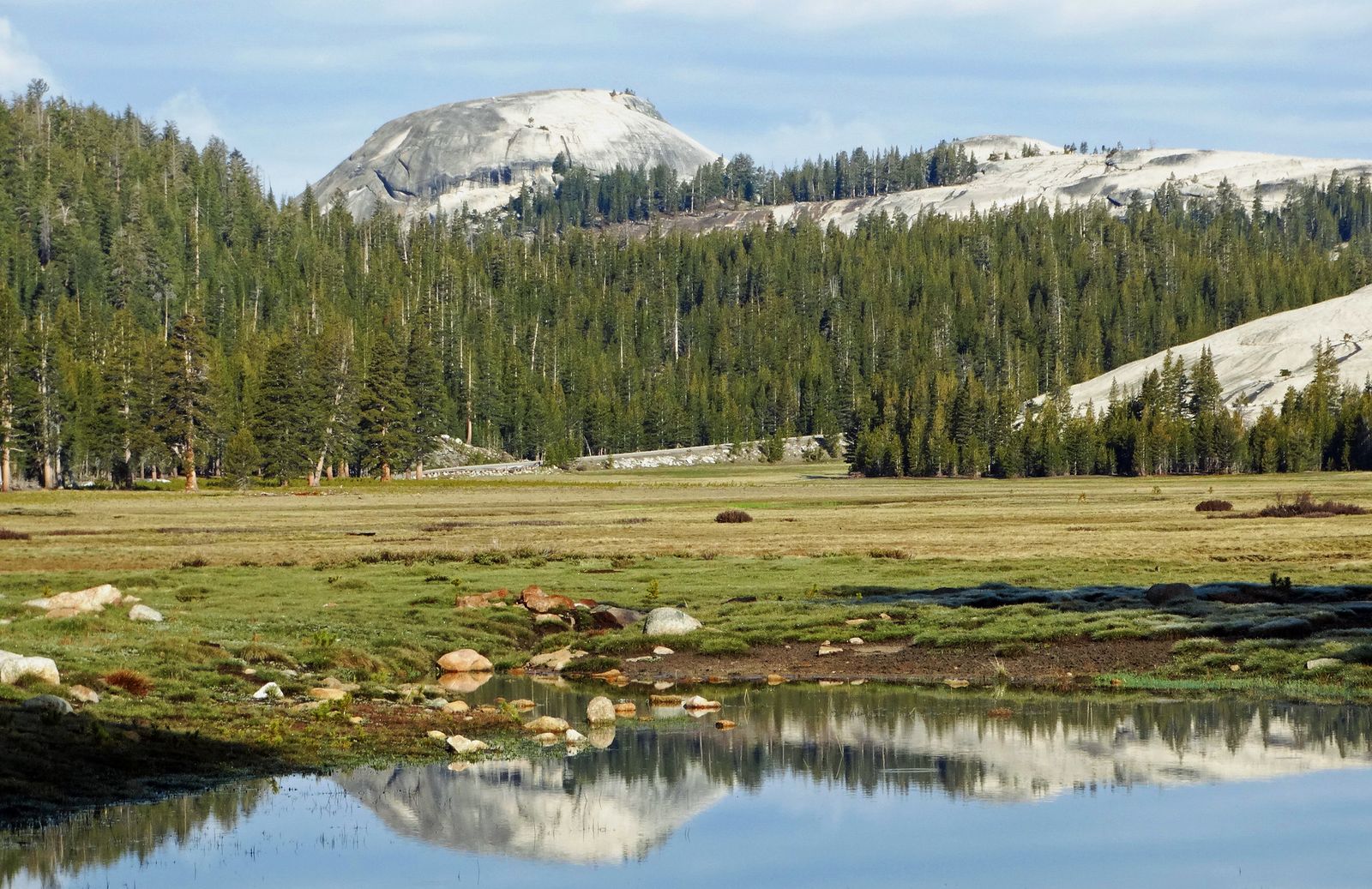
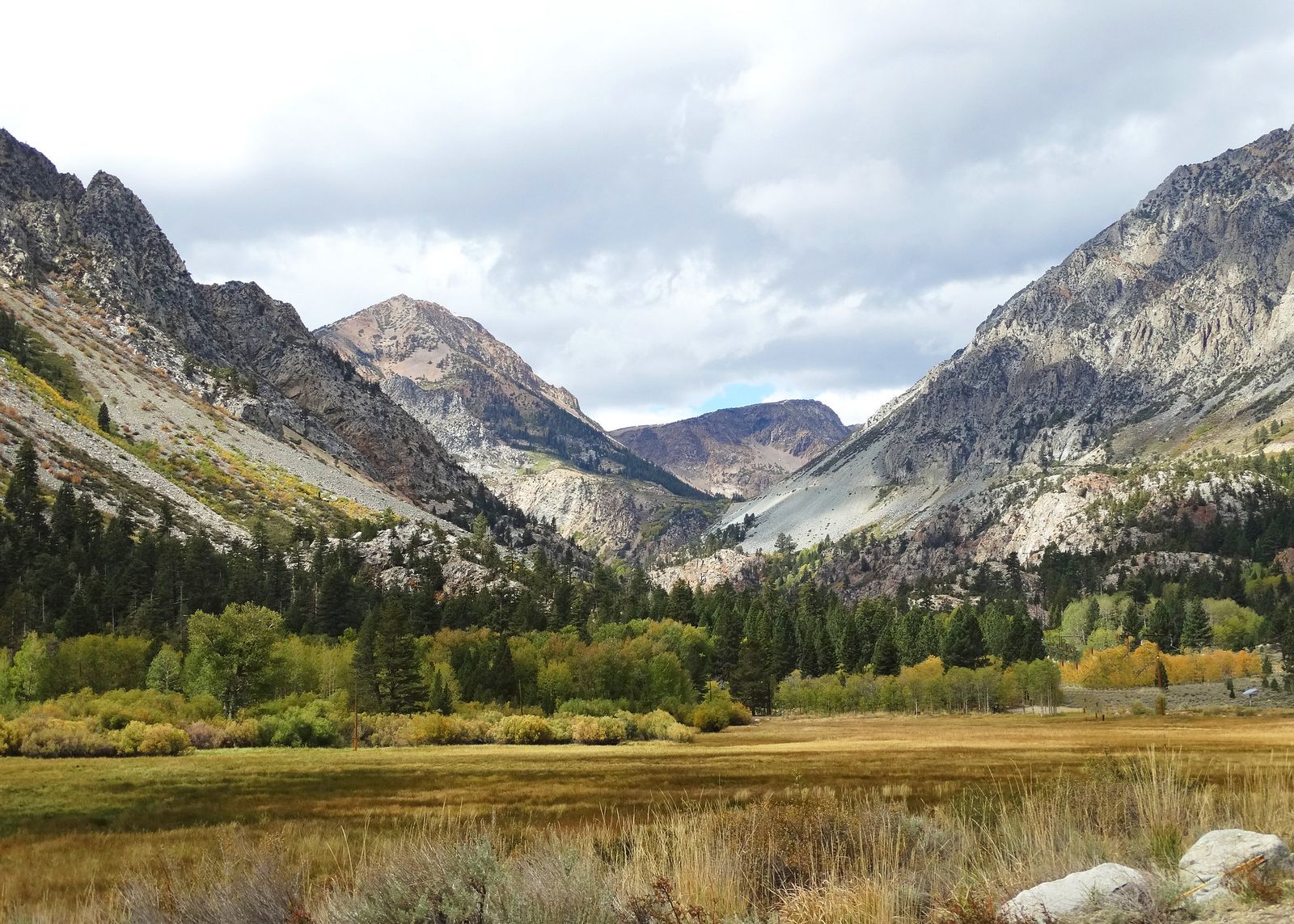
The Yosemite high country around Tuolumne Meadows sits above 8,600 ft, accessible only via Tioga Road and offering some of the most dramatic alpine granite scenery in the Sierra, domes, subalpine meadows, and a noticeably different feel from the glacially carved Valley floor most visitors associate with Yosemite.
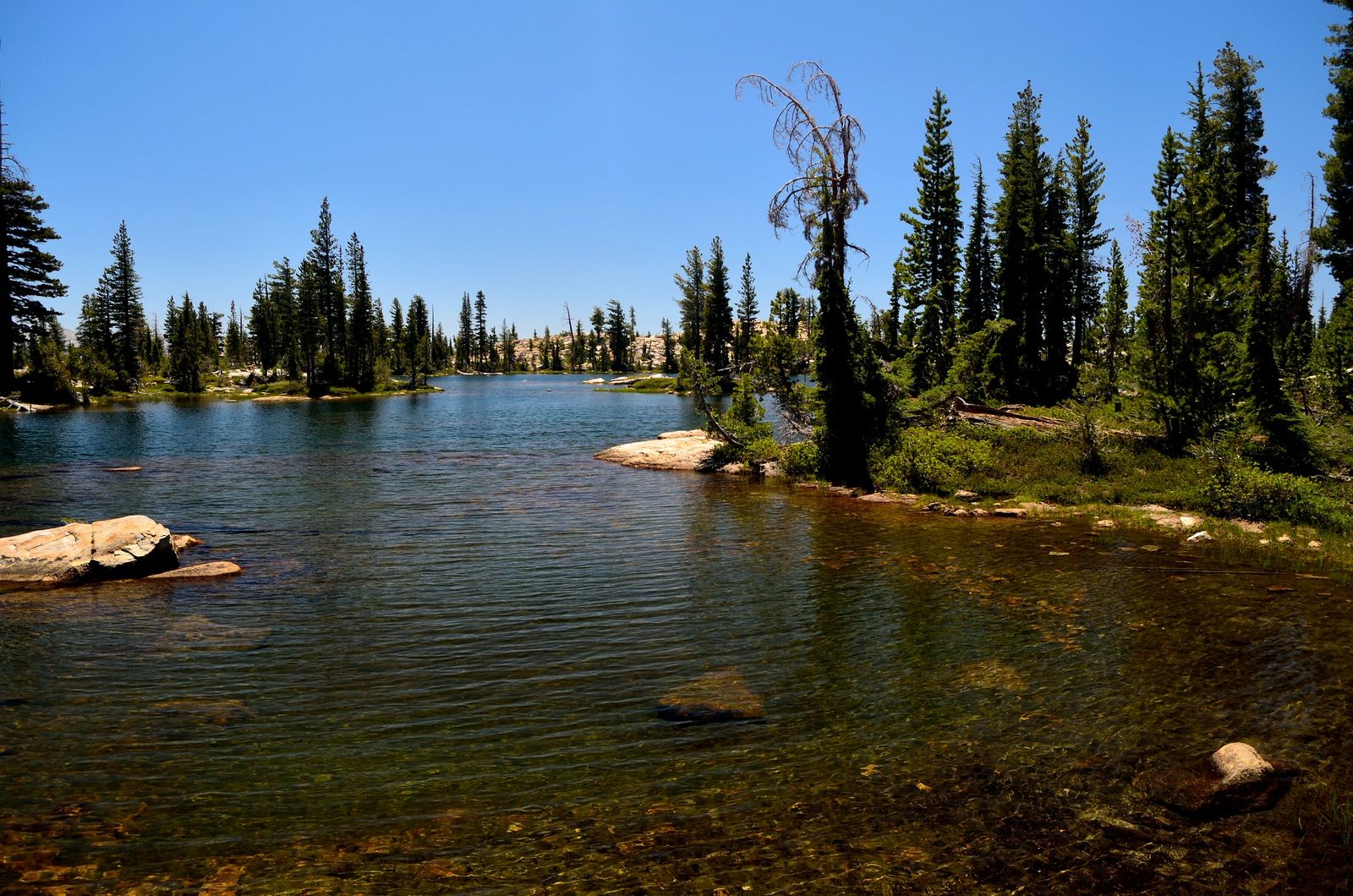
Stanislaus National Forest, mostly below 7,000 ft near Groveland, stays accessible essentially year-round and includes family-friendly destinations like Pinecrest Lake, making it the reliable fallback when the high country is snowed in.
The Emigrant Wilderness, sitting between Stanislaus and Yosemite, is genuine remote backcountry, permit-required for overnight trips, with historic emigrant-era travel routes still traceable through parts of it, and a noticeably quieter feel than either of the other two zones given how few people know it’s there.
Best hiking trails in Yosemite’s Tuolumne Meadows, Tuolumne County
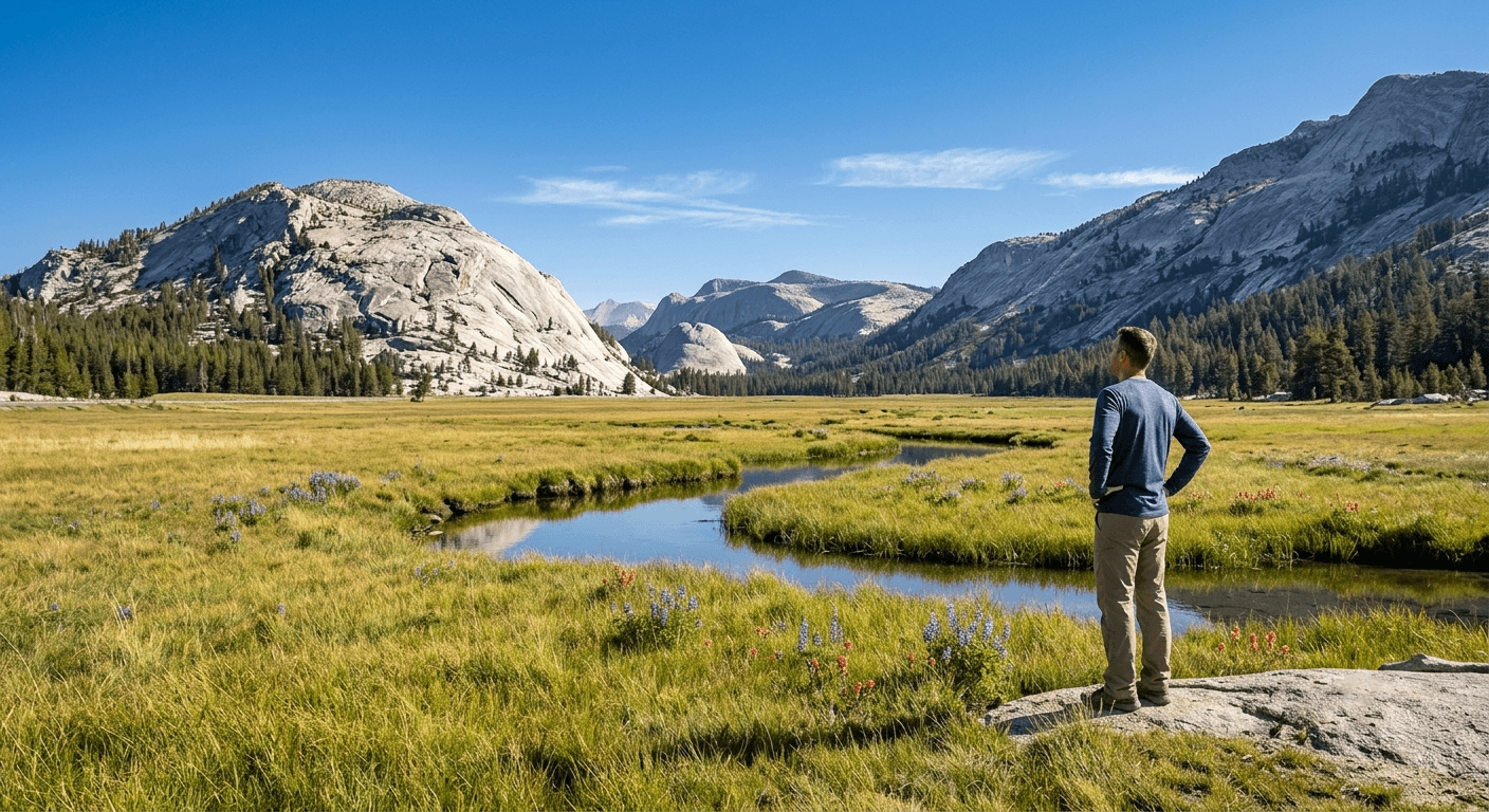
Tuolumne Meadows, at 8,600 ft, is the largest subalpine meadow in the Sierra Nevada, and it anchors a cluster of major trailheads, Cathedral Lakes, Lembert Dome, and Young Lakes, all within about 10 miles of the Tuolumne Meadows campground. The meadow itself is worth a slow drive-through even before you start hiking, since the granite domes ringing it (Lembert, Fairview, Pothole) are visible from the road and give a real preview of what each trail leads up into.
Cathedral Lakes Trail: Tuolumne Meadows’ most spectacular day hike
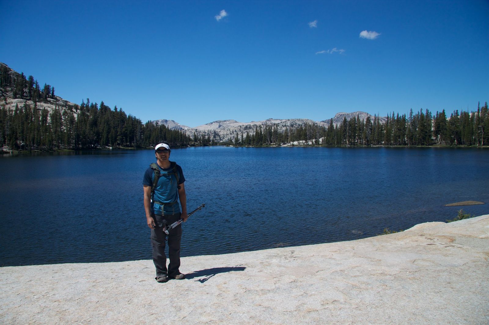
At about 7 miles round-trip with roughly 1,000 ft of gain, this trail (also a JMT/PCT access point) climbs to Lower Cathedral Lake, where Cathedral Peak reflects directly in the water on a calm day, ringed by granite domes on nearly every side. No separate day-use permit is needed beyond the standard park entry, which makes it one of the more accessible truly spectacular hikes in the entire high country, most fit hikers can complete it in half a day, leaving time for another shorter trail the same afternoon.
Lembert Dome: Tuolumne Meadows’ best panoramic summit walk
At 2.8 miles round-trip with about 850 ft of gain, Lembert Dome requires a real scramble up its back side to reach the summit, rewarding the effort with 360-degree views across Tuolumne Meadows, Dana Meadows, and the surrounding high Sierra peaks. It’s accessible only when Tioga Road is open, typically June through November, and no permit is required for the day hike.
The dome’s smooth granite surface can be genuinely slick when wet, so an afternoon thunderstorm is a real reason to turn back rather than push for the summit.
Young Lakes Trail: Tuolumne’s best alpine lake day hike or overnight
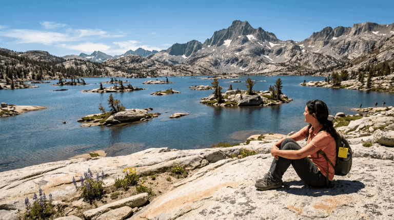
At 13.4 miles round-trip with about 1,600 ft of gain, this trail reaches three alpine lakes sitting between 9,900 and 10,200 ft, through classic rocky high-Sierra terrain that feels considerably more remote than its distance from the trailhead would suggest.
A wilderness permit is required if you’re staying overnight, but not for a day hike beyond standard park entry, and September offers some of the best solitude of the season, once summer crowds thin out but before the road closes for winter, making it a favorite for hikers willing to trade slightly colder mornings for a much quieter trail.
Best hiking trails in Stanislaus National Forest, Tuolumne County
Stanislaus National Forest covers roughly 898,000 acres around the Groveland and Sonora gateway towns, and, critically, its lower-elevation trails stay accessible year-round, unlike the Yosemite high country above it, which makes it the natural fallback destination for anyone whose trip timing doesn’t line up with Tioga Road’s open season. That same forest belt continues north into the hiking trails in Calaveras County, another lower-elevation option when the high country above Tuolumne is still closed.
Pinecrest Lake National Recreation Trail: Stanislaus’ best easy family loop
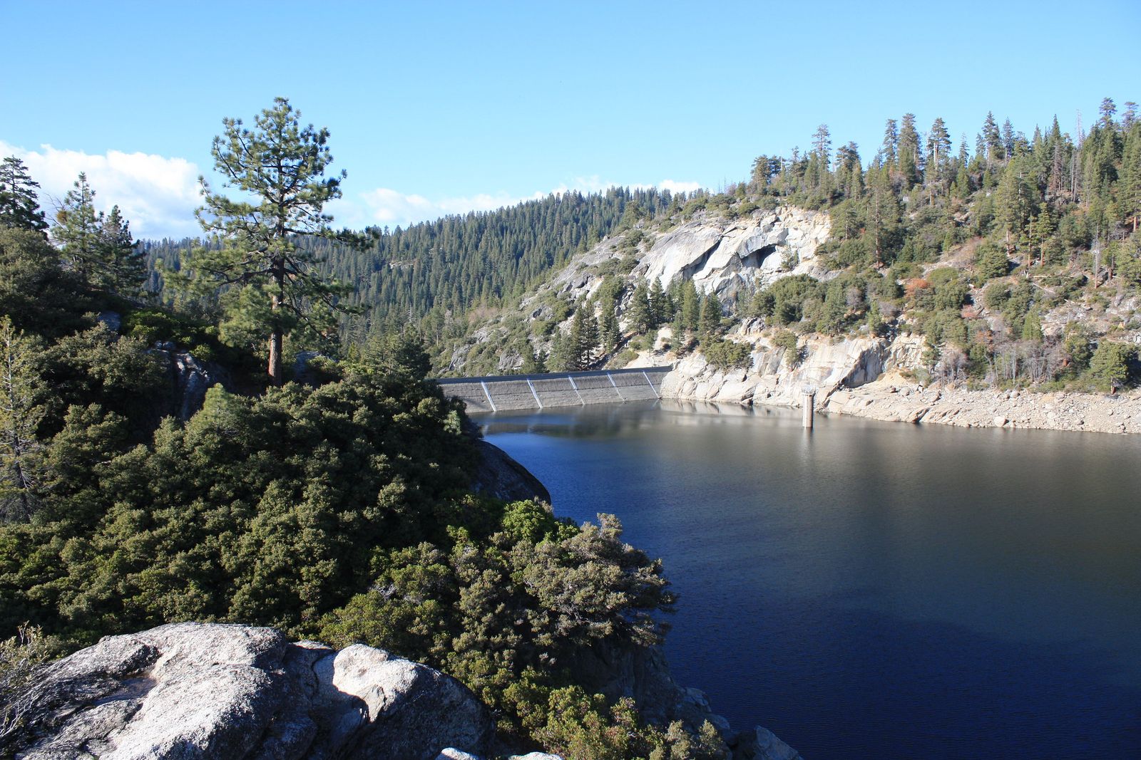
This 5-mile loop with about 200 ft of gain circles a scenic reservoir with a swimming beach near the campground, making it one of the most reliable family-friendly hikes in the county. It’s accessible year-round, though snow can affect conditions in winter, and some parking areas charge a small day-use fee (around $5). The full loop circles the lake, but shorter out-and-back options work well if you’re hiking with young kids or want a shorter outing before an afternoon swim.
Clark Fork Trail: Stanislaus’ best river canyon day hike
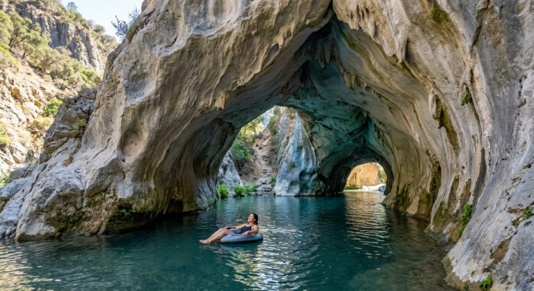
Following the Clark Fork of the Stanislaus River, this trail passes remnant old-growth forest and seasonal swimming holes, with the Donnell Vista scenic overlook nearby as a worthwhile add-on even if you don’t hike the full corridor. Access is via Clark Fork Road off Highway 108, and distance varies depending on how far up the corridor you go, making it easy to tailor to the time you have; a good option for a half-day trip that still delivers real river scenery and a swimming stop in summer.
Best hiking trails in Emigrant Wilderness, Tuolumne County
The Emigrant Wilderness covers roughly 112,277 acres between Stanislaus National Forest and Yosemite, tracing parts of historic emigrant-era travel routes and offering genuine backcountry solitude without Yosemite’s crowds or permit competition. Overnight trips require a permit; day use has no quota, which makes this one of the least-restricted backcountry areas in the entire Sierra relative to its quality.
Kennedy Lake Trail: the best long day hike in Emigrant Wilderness
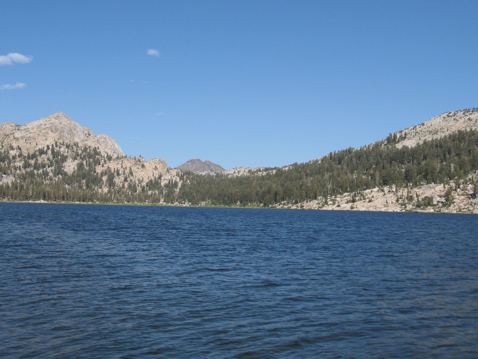
At about 18 miles round-trip from the Kennedy Meadow trailhead off Highway 108, this trail follows a historic emigrant route to a large backcountry lake with good fishing, gaining real elevation along the way through classic Sierra granite and forest terrain.
No permit is needed for a day hike; overnight stays require a free self-issue permit available right at the trailhead, with no lottery or reservation involved, a genuine rarity compared to the competitive permit systems governing more famous Sierra destinations.
Best hiked July through September, once the route is reliably snow-free, and the full round-trip distance is enough that most day hikers should start early and treat it as a full-day commitment.
Seasonal access: when are Tuolumne County trails open?
Access varies dramatically by elevation and zone, which is exactly why “is Tuolumne County open for hiking” doesn’t have one simple answer, the honest answer always depends on which of the three zones you mean.
| Zone | Elevation | Typical season |
|---|---|---|
| Yosemite high country (Tioga Road) | 6,200–9,945 ft | Late May–early June through November |
| Stanislaus National Forest (lower) | Below 7,000 ft | Year-round |
| Emigrant Wilderness | Varies, mostly high elevation | July–October (snow-free) |
Groveland area: year-round hiking near Yosemite’s west entrance
Groveland sits about 17 miles from Yosemite’s west entrance at roughly 2,800 ft, well below the snow line, with its own local trails, including the Priest Grade Trail, the Rim of the World Vista, and sections of the Tuolumne River Scenic Corridor.
These stay hikeable when Tioga Road and the high country are closed for winter, making Groveland the better base if your trip timing doesn’t line up with the high-country season, or if you’re visiting in the shoulder months when the high country’s exact opening date is still uncertain. It also works well as an overflow base during peak summer, since lodging in Groveland tends to be more available than options closer to Yosemite Valley itself.
If you’re planning a Tuolumne Meadows trip, our high-elevation hiking guide covers the altitude and preparation basics worth reviewing before a trail like Young Lakes, and our hiking safety guide applies just as much to a remote Emigrant Wilderness day hike as it does anywhere else in the Sierra. Whichever zone you start with, checking current road and trail status before you drive out is worth the five minutes it takes, given how much the season can shift year to year in this particular county.
Frequently asked questions: hiking trails in Tuolumne County
What are the best hiking trails in Tuolumne Meadows, Yosemite?
Cathedral Lakes for the most spectacular payoff, Lembert Dome for a shorter panoramic summit, and Young Lakes for a longer alpine lake trip cover the strongest options in the immediate Tuolumne Meadows area.
When does Tioga Road open for hiking in Yosemite?
Typically late May through early June, though the exact date varies significantly year to year based on snowpack, it opened as early as May 15 in 2026, the earliest in 16 years according to NPS, but has opened as late as July in heavy-snow years, so avoid locking in a specific high-country trip date months in advance without a backup plan.
Do I need a permit to hike in Tuolumne Meadows?
No day-use permit is required beyond standard park entry, and Yosemite has no reservation or timed-entry system for the 2026 season at all, overnight backcountry trips still require a separate wilderness permit, regardless of that change, so don’t assume the dropped entry reservation also removed the backcountry permit requirement.
How do I hike Cathedral Lakes in Tuolumne Meadows?
Start from the well-marked trailhead along Tioga Road near Tuolumne Meadows; it’s about 7 miles round-trip with roughly 1,000 ft of gain to Lower Cathedral Lake, doable as a half-day hike for most reasonably fit visitors.
Are there hiking trails in Tuolumne County open year-round?
Yes, Stanislaus National Forest’s lower-elevation trails, including Pinecrest Lake and the Groveland area, stay accessible essentially year-round, unlike the Yosemite high country, which closes seasonally with Tioga Road.
What hiking trails are near Groveland, California?
The Priest Grade Trail, Rim of the World Vista, and sections of the Tuolumne River Scenic Corridor are all accessible near Groveland, and they stay open through winter when the high country above them is closed.