Best Hiking Trails in El Dorado County, California
Hiking trails in El Dorado County run from the Sacramento Valley foothills, where gold was first discovered in 1848, up to South Lake Tahoe’s alpine basin at over 6,200 ft, a single county spanning four genuinely distinct elevation zones and more than 400 miles of trail.
Disclosure: Please note that some of the links below are affiliate links and at no additional cost to you, I may earn a commission. Know that I only recommend hiking gear I personally stand behind; when you use my affiliate links, it helps me run this blog and keep all of this content free of charge for readers (like you).
Most visitors only ever see the Tahoe end of it, treating the county as a synonym for South Shore hiking rather than the much larger, more varied place it actually is. Here’s the full picture, including the Gold Rush history and river canyon most Tahoe-focused guides skip entirely.
Key takeaways:
- El Dorado County spans four elevation zones: South Lake Tahoe’s alpine basin, Desolation Wilderness, the American River Canyon, and the Sierra foothills of the Georgetown Divide.
- South Lake Tahoe’s Emerald Bay corridor is the county’s most-searched hiking destination, anchored by Eagle Falls, Vikingsholm, and the Rubicon Trail, covered in fuller depth in our dedicated Lake Tahoe guide.
- Desolation Wilderness holds the highest concentration of alpine lakes in the Sierra Nevada, with day-use permits free and self-issued at the trailhead year-round.
- Overnight Desolation Wilderness quotas run from the Friday before Memorial Day through September 30, longer than many sources state, and require a paid Recreation.gov reservation.
- The American River Canyon adds genuine Gold Rush history to the county’s hiking, anchored by Marshall Gold Discovery State Historic Park in Coloma, where gold was first found in California.
- Horsetail Falls is a real scramble, not a maintained trail, a Class 2 talus climb near Twin Bridges that demands real caution, especially when wet.
Related:
- Desolation Wilderness Permits & Backpacking Guide
- Eagle Falls Hiking Guide at Lake Tahoe
- Emerald Bay State Park Hiking Guide
- 5 Best Hiking Trails Near Lake Tahoe, El Dorado County
- 5 Best Hiking Trails in the Desolation Wilderness, El Dorado County
- 5 Best Waterfall Hiking Trails in Eldorado County
- 5 Best Hiking Trails in Eldorado National Forest
- 5 Best Family-Friendly Hiking Trails in Eldorado County
Why El Dorado County is a premier California hiking destination
El Dorado County stretches from Gold Rush-era Sacramento Valley foothills to South Lake Tahoe’s alpine basin, encompassing Eldorado National Forest, Desolation Wilderness, and more than 400 miles of trail across four distinct elevation zones, a range few California counties can match in one contiguous jurisdiction. That range means the county genuinely offers a different hiking experience depending on the season and the elevation you’re chasing, not just a single “Tahoe” identity.
El Dorado County’s four hiking zones
South Lake Tahoe and the broader Lake Tahoe Basin anchor the county’s alpine hiking, including Emerald Bay, D.L. Bliss, and the lakeside classics most visitors already know from photos alone. Desolation Wilderness sits just west of the lake, holding the county’s most dramatic granite peaks and alpine lakes with direct Pacific Crest Trail access, genuinely wild terrain despite being a short drive from South Shore’s tourist strip.
The American River Canyon, centered on Coloma and Marshall Gold Discovery State Historic Park, adds genuine Gold Rush history at a much lower elevation and a noticeably warmer climate than the Tahoe side of the county.
The Georgetown Divide rounds out the county’s Sierra foothill terrain, known locally for spring wildflower displays that peak well before the higher elevations even lose their snowpack, making it a smart shoulder-season option when Tahoe trails are still buried.
Best hiking trails near South Lake Tahoe, El Dorado County
South Lake Tahoe’s trail network Emerald Bay, Angora Lakes, Mount Tallac, Fallen Leaf Lake is the single most-searched hiking cluster in the county, and it’s the same trail system covered in depth in our dedicated Lake Tahoe guide. The core facts here match that guide exactly, so there’s no contradiction if you’ve read both.
Eagle Falls Trail: South Lake Tahoe’s best short waterfall hike
A 0.8-mile round trip to the falls, or 1.5 miles round trip with about 400 ft of gain if you continue to Eagle Lake. The trailhead sits at the Eagle Falls picnic area off Highway 89, with an $8 parking fee, and gets genuinely crowded by mid-morning in summer. Arrive before 8 a.m. for a quieter hike.
Mount Tallac Trail: El Dorado County’s best summit hike
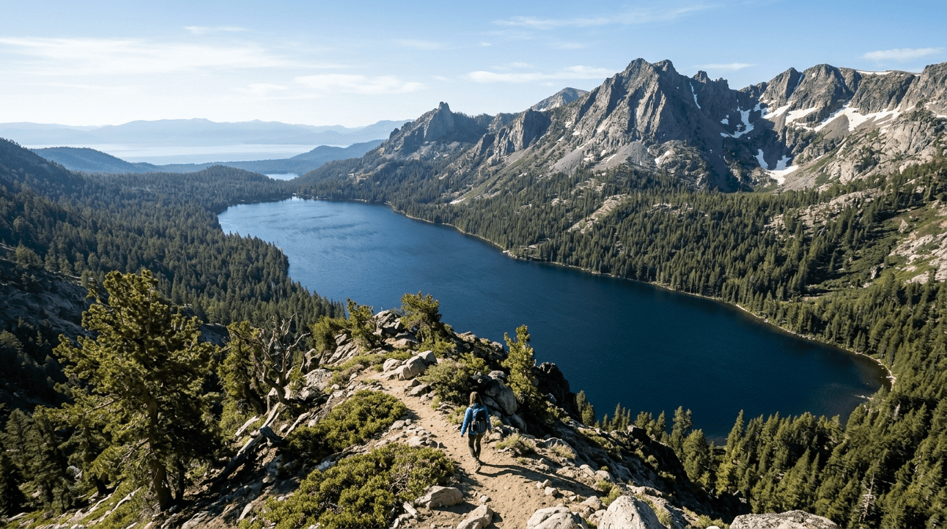
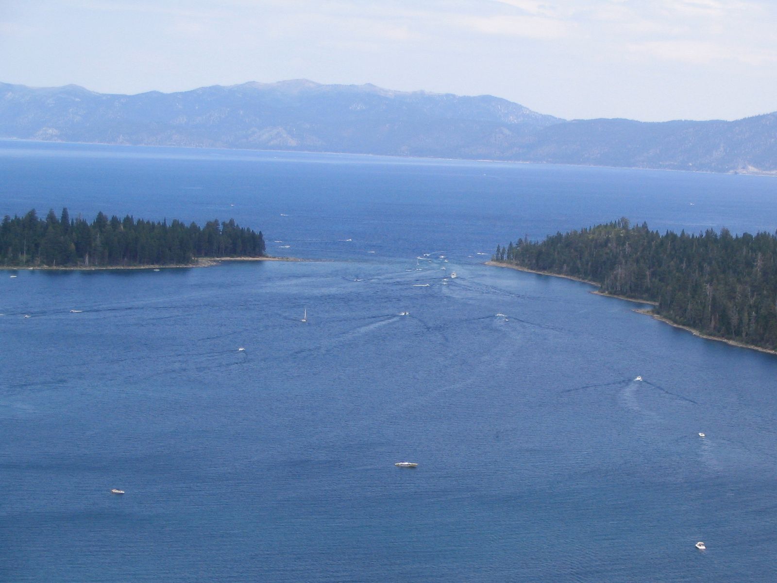
Roughly 10 miles round trip with 3,300 to 3,500 ft of elevation gain to a 9,735-ft summit, delivering panoramic views over the entire Tahoe Basin and Desolation Wilderness, including the cross-shaped snowfield visible from the lake below. A free, self-issued Desolation Wilderness day permit is required at the trailhead, not a competitive reservation, despite how demanding the hike itself is.
Vikingsholm Trail at Emerald Bay: El Dorado County’s most scenic easy hike
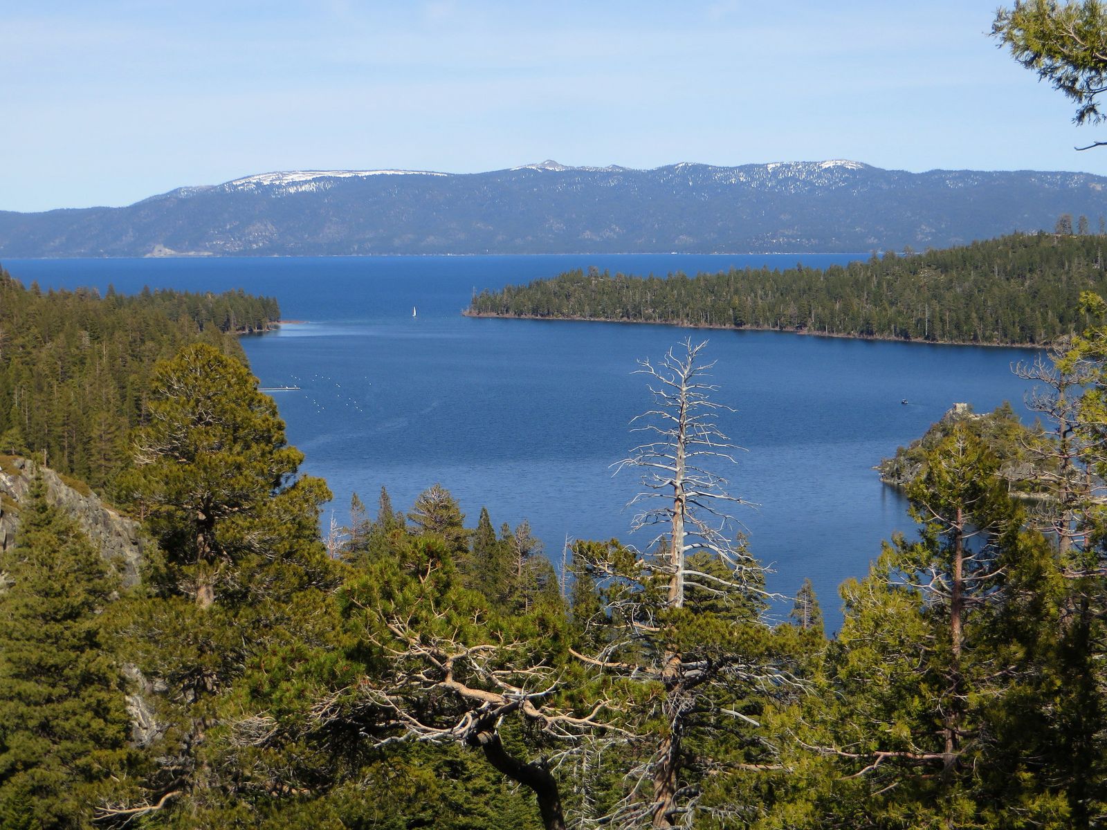
A 1-mile trail (2 miles round trip) dropping 500 ft to Vikingsholm Castle. There’s no summer lottery; parking is paid and first-come, first-served, filling up by 9 a.m. in peak season, but a new Emerald Bay Shuttle launched for 2026, running Memorial Day through Labor Day as a genuine alternative to the parking crunch. Boat access from the South Lake Tahoe marina is also available for anyone who’d rather skip the trailhead entirely.
Best hiking trails in Desolation Wilderness, El Dorado County
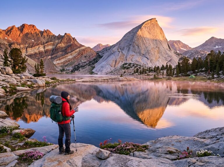
Desolation Wilderness covers roughly 63,475 acres west of the lake and holds the highest concentration of alpine lakes anywhere in the Sierra Nevada, threaded through by the Pacific Crest Trail. This is the zone that rewards effort the most. The trailheads sit close to the South Shore, but the terrain feels genuinely remote within a couple of miles.
Glen Alpine Trail to Susie Lake: Desolation’s best day hike
A 6-mile round trip with about 1,200 ft of gain from a trailhead off Fallen Leaf Lake Road, delivering alpine wildflower meadows at their peak in July and August. A free day-use permit, self-issued at the trailhead, covers this hike outside the summer overnight quota system entirely.
Lake Aloha via Echo Lakes: Desolation Wilderness’s best backpacking destination
Roughly 11–12 miles round trip with about 2,200 ft of gain to a genuinely dramatic granite lake basin with direct PCT access, one of the signature backpacking destinations in the entire Tahoe region. A seasonal water taxi (roughly July through Labor Day, about $14–20 per person one-way) crosses both Echo Lakes.
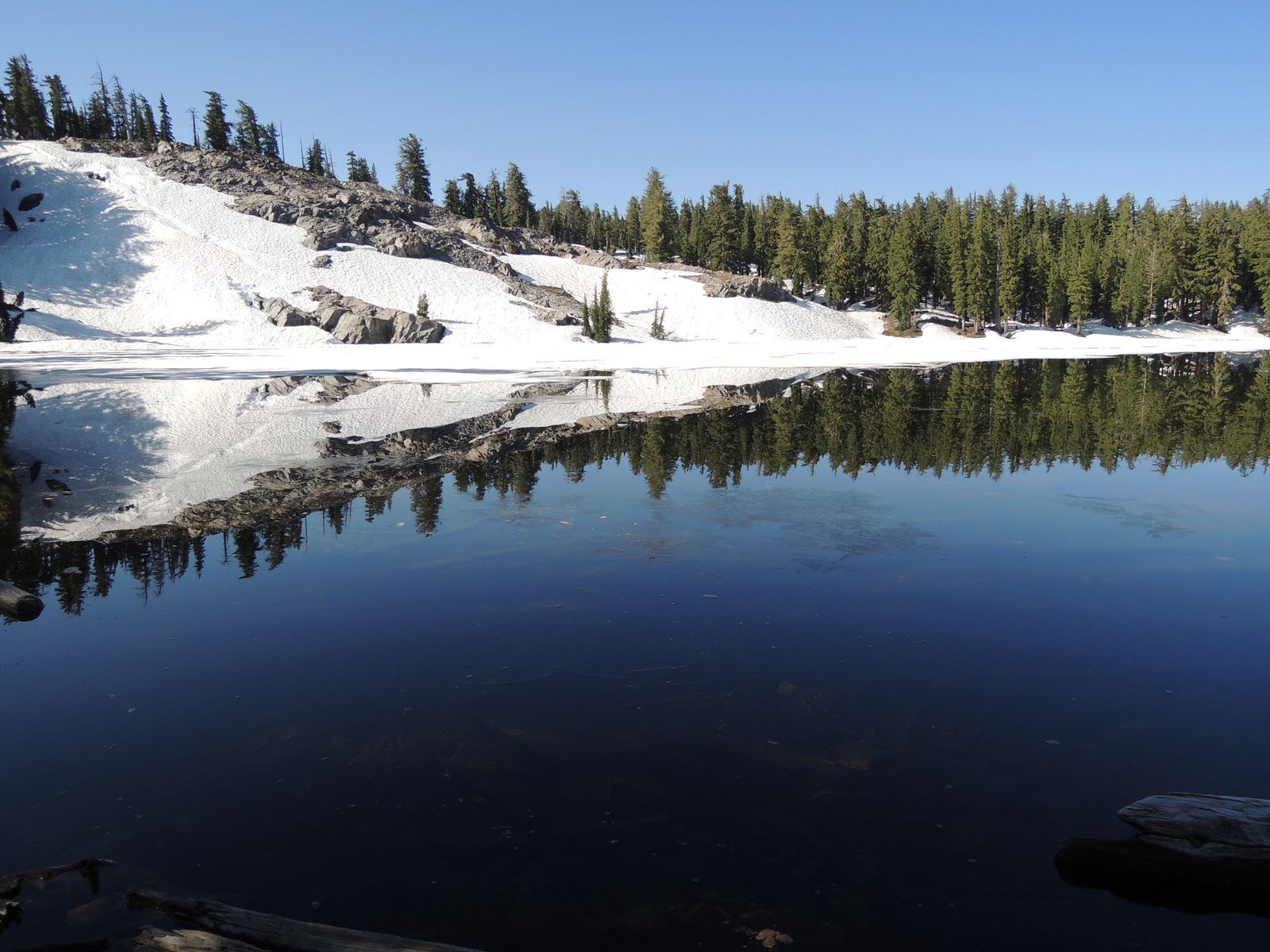
It cuts about 5 miles off the round trip, a popular option for hikers who’d rather spend their energy in the wilderness itself than on the flat lakeside approach. A free day permit covers a day trip past Upper Echo Lake; an overnight stay requires a separate reservation, with the overnight quota season running from the Friday before Memorial Day through September 30.
Best waterfall hiking trails in El Dorado County
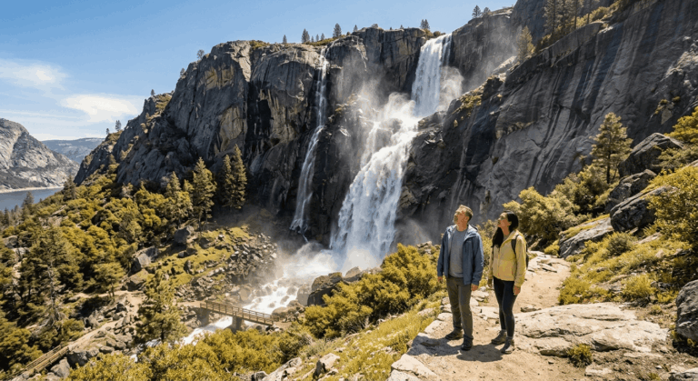
Beyond Eagle Falls, the county holds several less-crowded waterfall hikes worth knowing about, including Glen Alpine Falls near Fallen Leaf Lake (a short 0.5-mile approach) and Bridal Veil Falls off Wentworth Springs Road in the Georgetown Divide area.
Horsetail Falls Trail: El Dorado County’s most dramatic waterfall hike
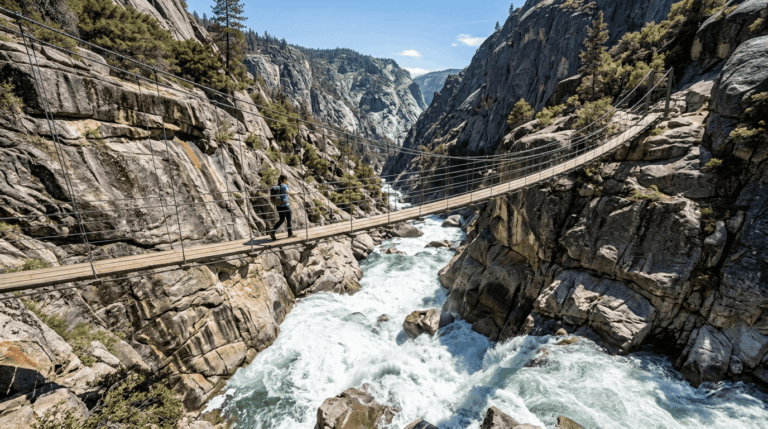
A roughly 3.5-mile round trip with 1,200 to 1,400 ft of gain from the Twin Bridges trailhead off Highway 50, climbing past multi-tiered falls in a genuine granite gorge. This is a real caveat trail, not a polished one: the route includes a Class 2 talus scramble rather than a maintained tread.
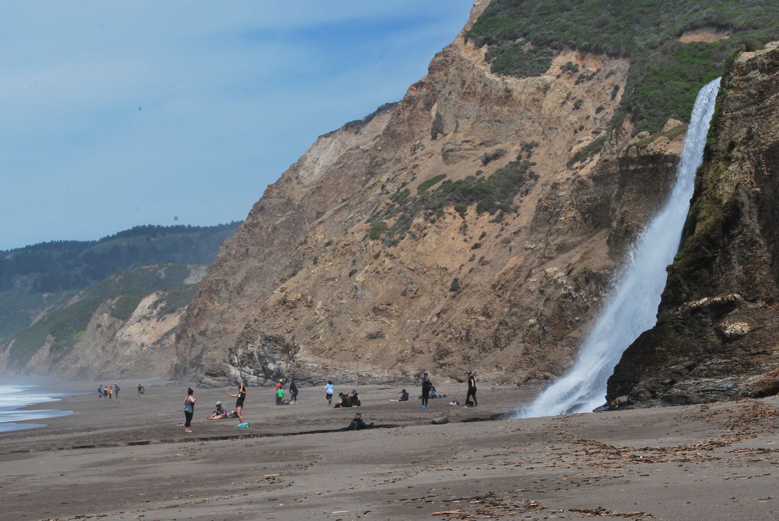
The wet granite near the falls has caused real injuries. Best attempted May through July during peak snowmelt, with real caution on the rock sections (see my guide on water hazards for safety tips near Sierra waterfalls) regardless of conditions.
American River Canyon hiking trails in El Dorado County
The South Fork American River corridor near Coloma adds a completely different hiking character to the county’s lower elevation, genuine California history, and a warmer season than the Tahoe side of the county offers, which makes it a smart option in early spring or late fall when the higher elevations are still snowed in or already closed for the season.
That same Gold Country corridor runs south into Hiking Trails in Amador County, home to the Kennedy Mine and Indian Grinding Rock State Historic Park.
Marshall Gold Discovery State Historic Park: Gold Rush-era trail hiking
Located in Coloma, where James Marshall first discovered gold in 1848 and effectively triggered the California Gold Rush, the park offers the Monument Trail up to the Marshall statue overlook and the flatter, 0.8-mile Gold Trail along the river.
An $8 day-use fee applies, and interpretive panels throughout the park add real historical context most other hikes on this list simply don’t offer.
This is as much a history lesson as it is a trail, and worth the visit even for hikers who don’t usually seek out interpretive sites.
The nearby Olmstead Loop in the Auburn State Recreation Area, technically just over the line in Placer County, and the Cronin Trail add spring-wildflower river canyon hiking in the same general area.
El Dorado County hiking permits and trail fees guide
Desolation Wilderness day-use permits are free and self-issued at the trailhead year-round; no reservation needed regardless of season, a genuinely useful fact given how many hikers assume the opposite.
Overnight permits require a Recreation.gov reservation and fall under a quota system running from the Friday before Memorial Day through September 30.
Emerald Bay State Park charges an $8 parking fee; the Twin Bridges/Pyramid Creek trailhead near Horsetail Falls charges a smaller $3 per vehicle fee (waived for overnight permit holders), and the Echo Lakes water taxi runs $20 or more one-way depending on group size.
Bring the right gear regardless of which zone you’re visiting, since Tahoe-elevation trails and river-canyon trails demand genuinely different kits even on the same weekend.
El Dorado County rewards looking past the Tahoe postcard shots. Desolation Wilderness alone justifies a dedicated trip, and the American River Canyon’s Gold Rush history adds a completely different kind of hiking within the same county line.
Check current Desolation Wilderness quota status before planning an overnight trip, and don’t skip the lower-elevation river canyon just because the alpine lakes get all the attention; the two halves of this county barely resemble each other, and that contrast is exactly what makes it worth exploring beyond South Shore.
Frequently asked questions about hiking trails in El Dorado County
Are hiking trails open near South Lake Tahoe right now?
Most lower-elevation trails are open spring through fall, but snow closes higher-elevation routes like Mount Tallac and much of Desolation Wilderness from roughly November through May. Check current conditions before a shoulder-season trip.
What are the best hiking trails near South Lake Tahoe?
Eagle Falls and Vikingsholm for accessible, iconic short hikes, the Rubicon Trail for the best lakeside scenery, and Mount Tallac for the best summit view in the basin are all covered in more depth in our dedicated Lake Tahoe guide.
Do I need a permit to hike in Desolation Wilderness?
For a day hike, no reservation is needed; pick up a free permit at the trailhead. For an overnight trip, you’ll need a paid Recreation.gov reservation, which carries a quota from the Friday before Memorial Day through September 30.
What is the best hike at Emerald Bay near South Lake Tahoe?
Vikingsholm for the best short, iconic view-to-effort ratio, or the Rubicon Trail if you want a longer, genuinely scenic lakeside hike from the same general area.
How hard is the Mount Tallac hike from South Lake Tahoe?
Genuinely difficult: around 10 miles round trip with 3,300 to 3,500 ft of elevation gain, rocky and largely exposed terrain, and real risk from afternoon thunderstorms in summer. Start early and bring trekking poles.
What are the best waterfall hikes near South Lake Tahoe?
Eagle Falls for the most accessible option, Horsetail Falls for the most dramatic (and most demanding, given its scramble section), and Glen Alpine Falls near Fallen Leaf Lake for a short, easy add-on to a longer day.