The 5 Best Hiking Trails Near Lake Tahoe’s South Shore, From a Castle Overlook to a Salmon Run
If you’re hiking the El Dorado County side of Lake Tahoe, the South Shore, roughly Stateline west to Emerald Bay. In short: start with the Rubicon Trail for the single best view in the entire basin, add Angora Lakes if you want a swim and famous lemonade at the end, and save Taylor Creek for October if a salmon run sounds more interesting than another lake view.
Disclosure: Please note that some of the links below are affiliate links and at no additional cost to you, I may earn a commission. Know that I only recommend hiking gear I personally stand behind; when you use my affiliate links, it helps me run this blog and keep all of this content free of charge for readers (like you).
This guide covers the lower-elevation, non-permit hiking trails near Lake Tahoe’s South Shore, genuinely different territory from the alpine Desolation Wilderness just to the west, which gets its own guide.
Five trails anchor this guide: the Rubicon Trail between D.L. Bliss and Emerald Bay State Parks, Angora Lakes, Fallen Leaf Lake, Van Sickle Bi-State Park’s overlook trails, and Taylor Creek’s Rainbow Trail.
I’ll give you the real fees, distances, and current-season access details for each, not the sanitized version. None of them require a wilderness permit, and if you’re working through the rest of the county, my complete El Dorado County hiking guide ties this into everything else covered here.
Key takeaways:
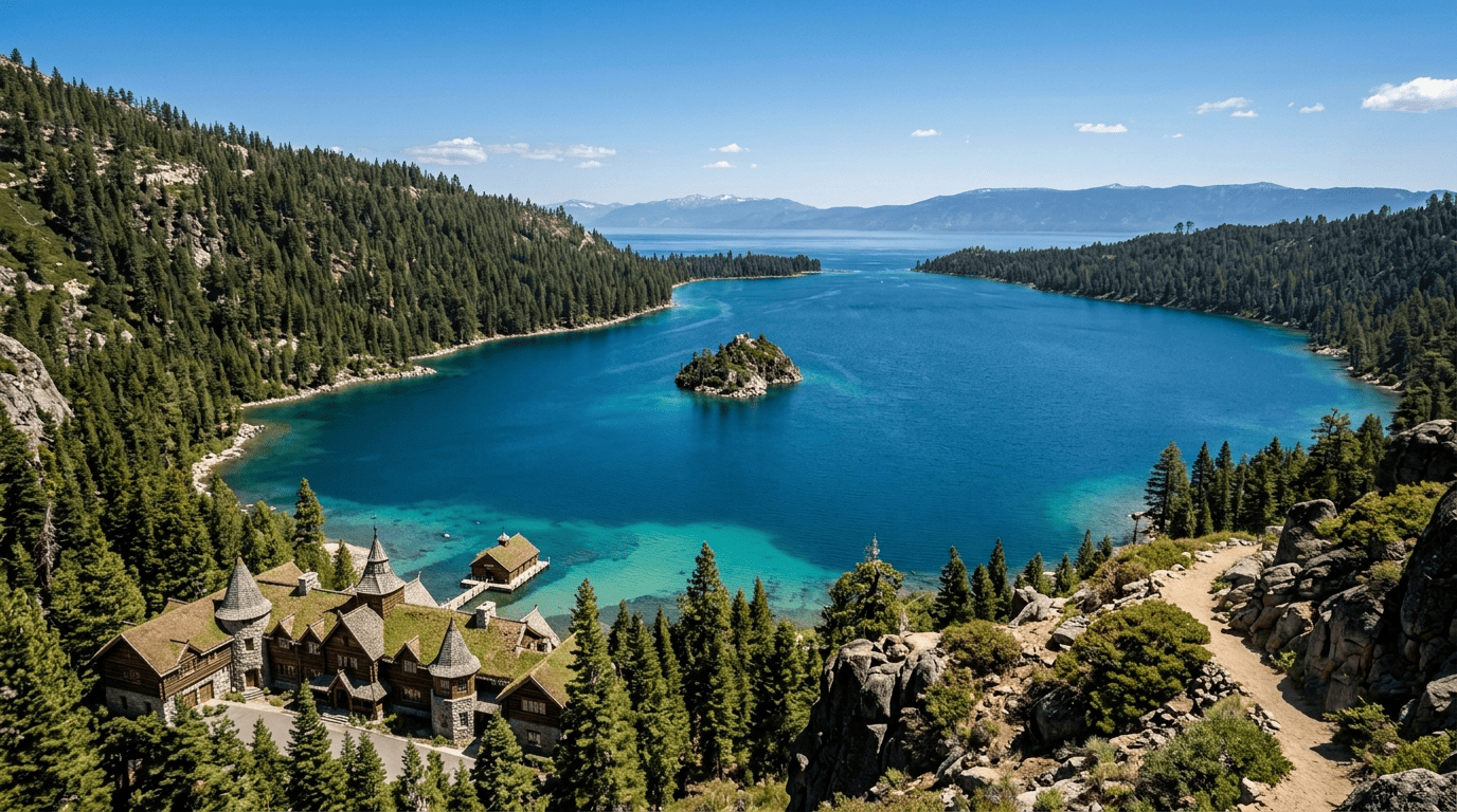
- Best single view in the basin: Rubicon Trail, Vikingsholm castle, and Emerald Bay’s turquoise water, arguably the most photographed pairing at Lake Tahoe.
- Best swim-and-lemonade combo: Angora Lakes, a short, steep walk past a fee-gated road to two alpine lakes and a still-operating 1920s resort.
- Quietest big lake: Fallen Leaf Lake, the second-largest natural lake in the Tahoe Basin, with a fraction of the crowds.
- Most novel overlook: Van Sickle Bi-State Park, the only park in the country where you can stand in California and Nevada while looking at the same lake.
- Best single-purpose wildlife trail: Taylor Creek’s Rainbow Trail, a half-mile, wheelchair-accessible loop built around an underwater salmon-viewing chamber.
- None of these five require a wilderness permit; that’s the Desolation Wilderness post’s territory, not this one.
Quick-glance comparison
| Trail | Distance (RT) | Elevation gain | Fee | Best for |
|---|---|---|---|---|
| Rubicon Trail | ~9–11.4 mi (to Vikingsholm and back) | 500–1,000+ ft | $10 day-use | Vikingsholm and Emerald Bay views |
| Angora Lakes Trail | 1.4–1.5 mi | ~300–400 ft | $12 (road fee) | Swimming, lemonade, alpine lakes |
| Fallen Leaf Lake Trail | 3.5–5 mi (adjustable) | Minimal | Free (roadside) | Quiet, big-lake scenery |
| Van Sickle Bi-State Park | 2.6–3.6+ mi | 460–1,000+ ft | Free | Standing in two states at once |
| Taylor Creek Rainbow Trail | 0.5 mi | Minimal | Free | Kokanee salmon viewing |
Rubicon Trail (D.L. Bliss State Park to Emerald Bay): the best view in the basin
This is the trail I’d point to first if someone asked me for one hike that captures why people fly across the country to see Lake Tahoe.
Trailhead access and parking at D.L. Bliss State Park (day-use fee)
The main trailhead starts at Calawee Cove in D.L. Bliss State Park, off Highway 89, with a $10 day-use parking fee. This lot fills early in summer, often by mid-morning, with overflow parking up at the visitor center near the highway, adding roughly a mile to your hike before you even reach the trailhead. Alternative access points exist at Vikingsholm ($10) and Eagle Point Campground within Emerald Bay State Park ($8).
Difficulty, distance, and elevation gain along the Rubicon Trail
Distances here genuinely vary by source and exact route: D.L. Bliss to the Vikingsholm access point runs somewhere between 4.5 and 5.7 miles one-way, and the full trail continuing to Eagle Point Campground covers 7.4 miles one-way. Elevation gain estimates range from about 500 ft for shorter segments up past 1,000 ft for the fuller route, moderate throughout, with rolling terrain, granite steps, and a few narrow, exposed drop-offs. No dogs allowed anywhere on this trail.
What you’ll see: Vikingsholm castle and the turquoise waters of Emerald Bay
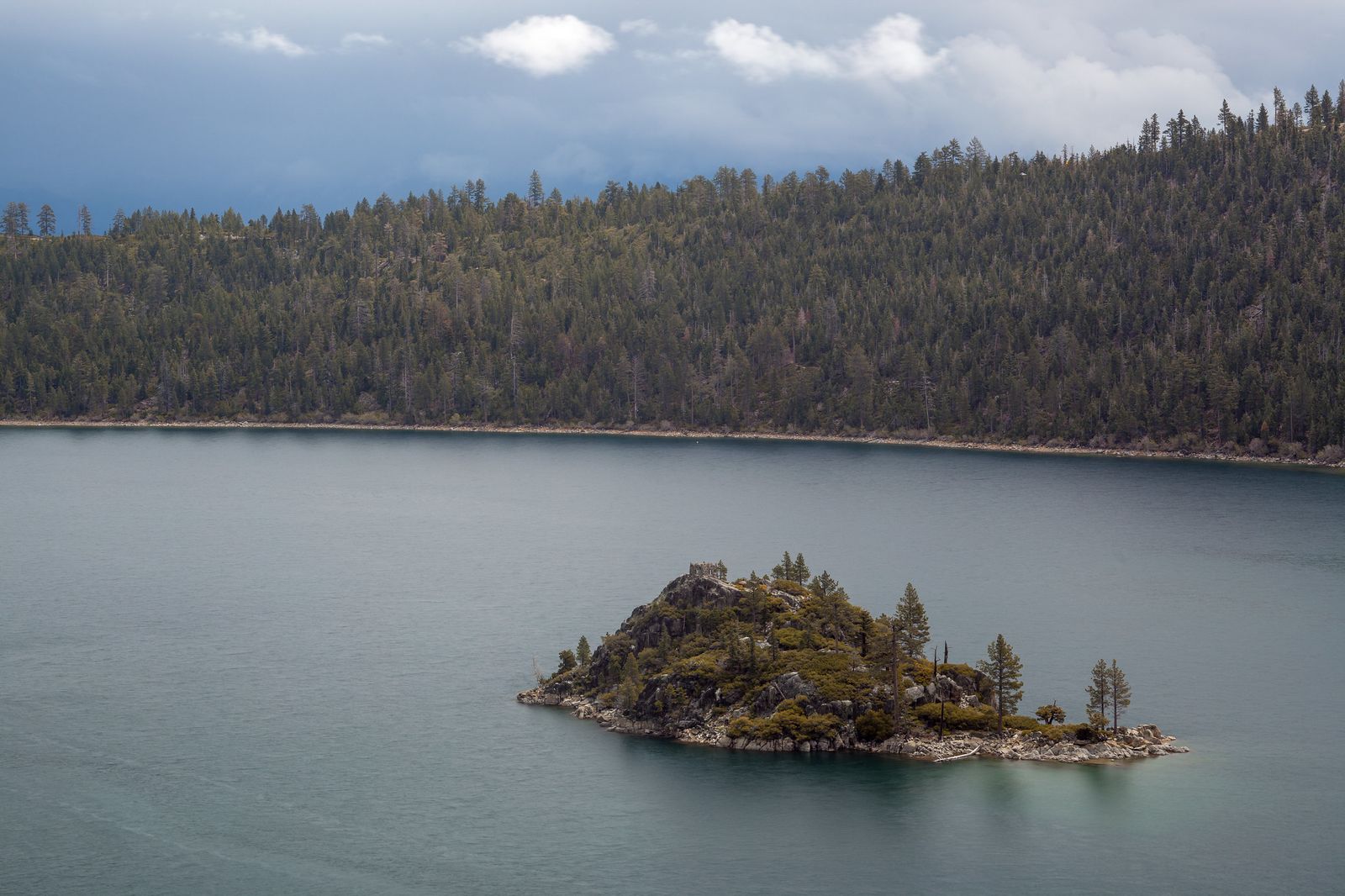
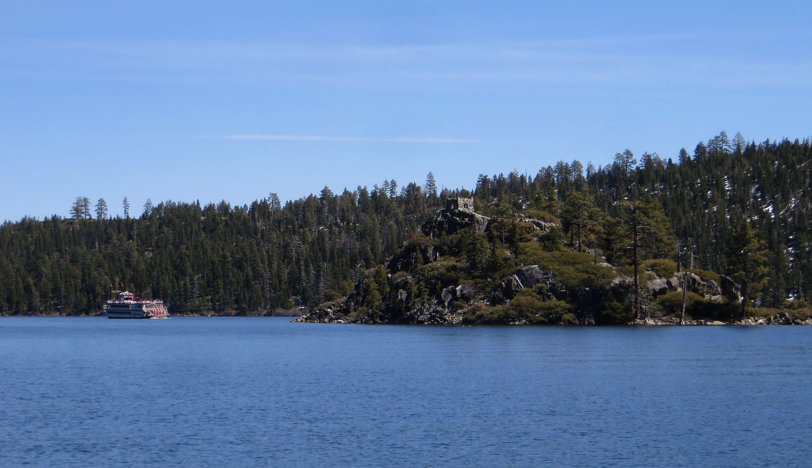
Vikingsholm, a 1929 Scandinavian-style mansion, sits at the head of Emerald Bay near Fannette Island; this pairing is arguably the single most photographed spot at Lake Tahoe. Reaching Vikingsholm itself from its own parking area is a separate, notably steep 2-mile round trip with 400 ft of gain packed into the final mile; California State Parks explicitly warns visitors with mobility issues or recent surgery against attempting it, since there’s no ride out if you can’t make the return climb.
Best time to hike the Rubicon Trail: summer for full trail access
Access roads here close seasonally in winter, and as of this May, the trail is open for the season, with Vikingsholm tours running and the Emerald Bay Shuttle starting mid-June. If Cascade or the Eagle Falls trail info in Desolation Wilderness sound like a natural next step from here, my Desolation Wilderness guide picks up right where this trail leaves off.
Angora Lakes Trail: a short, steep walk to a swim and the best lemonade in Tahoe
If you want a payoff without much hiking, this is the trail, though the drive to get there is its own small adventure.
Trailhead access and parking at the Angora Lakes Trailhead (fee road)
A narrow, one-lane road climbs to the fee parking lot; current parking runs $12 cash (bring exact change; cash is strongly preferred), though older reviews cite $8–$10, so expect this to keep drifting upward. The lot fills and effectively closes to new arrivals by mid-morning in peak summer; there’s no overflow option once it’s full.
Difficulty, distance, and elevation gain to Angora Lakes
Once you’re past the drive, the walk itself is short: about 1.4 to 1.5 miles round trip with roughly 300 to 400 ft of gain, steep in the first stretch over loose shale, then leveling out. A separate, longer, more traditional trail via the Fallen Leaf Fire Station exists for hikers who want an actual workout instead of the short paved-road walk.
What you’ll see: two alpine lakes with a historic summer resort
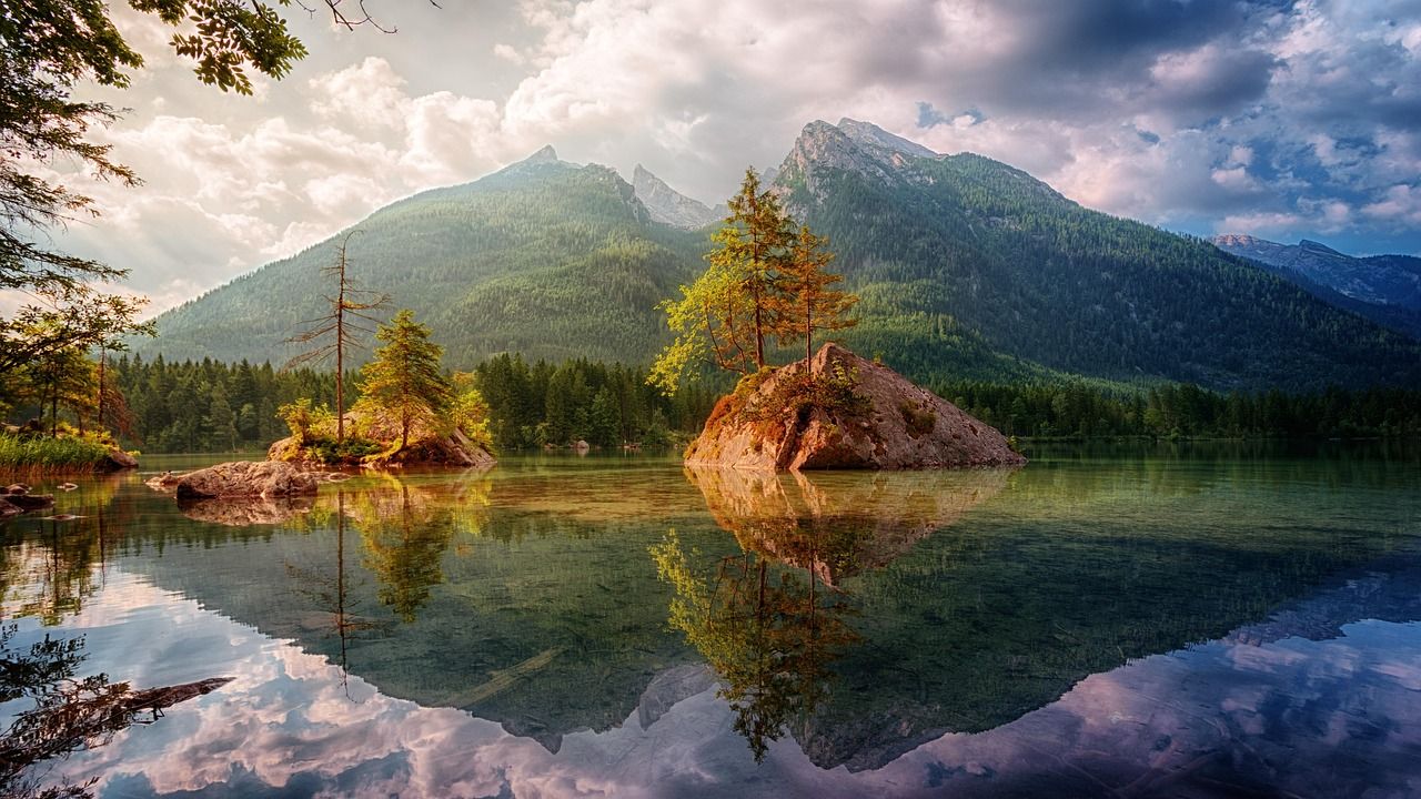
Lower and Upper Angora are selling their famous fresh-squeezed lemonade and renting kayaks and paddleboards lakeside. Granite cliffs on the far side of the upper lake draw cliff jumpers; a fatal accident there in 2015 is a real reminder to check the water depth before jumping.
Best time to hike Angora Lakes: weekday mornings, the road fills fast
June through October is the open season; weekday mornings are your best shot at actually finding parking, since summer weekends routinely fill the lot before 10 a.m.
Fallen Leaf Lake Trail: Tahoe’s second-largest lake, without the crowds
This is the trail I send anyone who’s already seen Tahoe’s main shoreline and wants something quieter without leaving the area.
Trailhead access and parking at Fallen Leaf Lake, near Camp Richardson
Reached via Fallen Leaf Lake Road off Highway 89, a few miles north of the Highway 50 junction. Free roadside parking exists at several points along the shoreline; the developed campground area has its own day-use access if you’d rather start there. This same road also continues to the Glen Alpine and Mt. Tallac trailheads, genuine Desolation Wilderness access points with their own permit requirements a different kind of hiking than anything else in this guide.
Difficulty, distance, and elevation gain along Fallen Leaf Lake
The shoreline stretch runs roughly 3.5 to 5 miles depending on how far you walk, with minimal elevation gain throughout flat, easy, dog-friendly walking rather than a real climb.
What you’ll see: Tahoe’s second-largest lake without the crowds
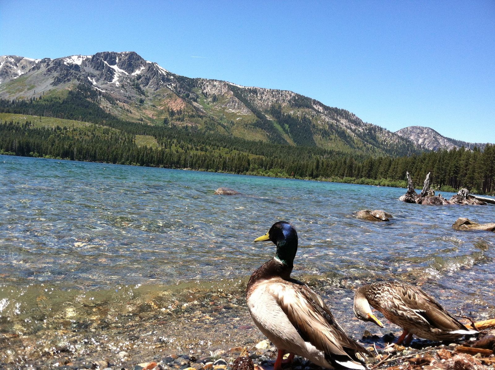
Fallen Leaf Lake is the second-largest natural lake in the Tahoe Basin, ringed by Mount Tallac (9,735 ft) and Cathedral Peak, with a fraction of the boat and foot traffic that Tahoe’s main shoreline sees. Swimming is allowed, though there’s no designated swim area.
Best time to hike Fallen Leaf Lake: early morning for calm, mirror-like water
Wind picks up by midday most of the year; early morning gives you the still, reflective water this lake is known for, and fall brings genuinely striking aspen color along the shoreline.
Van Sickle Bi-State Park: Tahoe Vista Trail stands in two states at once
This is the single most novel trail in this guide, and it’s also the most urban-adjacent you can walk here straight from a casino.
Trailhead access and parking at Van Sickle Bi-State Park, Stateline
The trailhead sits directly behind the Stateline, NV/CA casino corridor, free to enter, with parking near the Tahoe Rim Trail Association building. Pedestrian access runs year-round, sunrise to sunset; vehicle gates are seasonal, reopening for the year on May 1st.
Difficulty, distance, and elevation gain to the Tahoe Vista overlook
The shortest popular route, the Cal-Neva Loop, runs about 2.6 miles round trip with roughly 460 ft of gain to a marked state-line point and viewpoint. Continuing further toward the Tahoe Rim Trail connector, which climbs to 7,777 ft, adds real distance and elevation, up to 3.6-plus miles and 1,000-plus ft of gain for those who keep going.
What you’ll see: a rare overlook spanning both California and Nevada
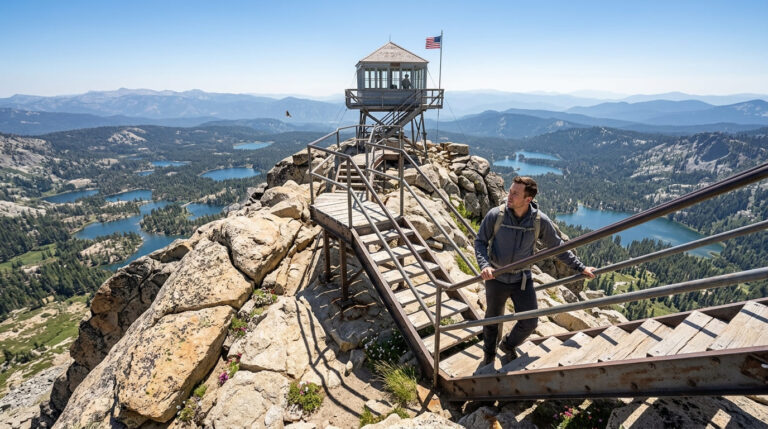
Van Sickle is genuinely the only bi-state park in the country, jointly managed by the Nevada Division of State Parks and the California Tahoe Conservancy. A circa-1870s barn and a 1917 log cabin, remnants of the Van Sickle family homestead, sit along the route, alongside overlooks where you can literally stand with one foot in each state while looking at the same lake.
Best time to hike Van Sickle Bi-State Park: late afternoon light over the lake
Afternoon light illuminates the lake basin well from this overlook’s angle; the park’s easy casino-adjacent access also makes it a genuinely good option for a short outing squeezed between other plans.
Taylor Creek: Rainbow Trail, a half-mile walk built around a salmon run
This is the shortest, easiest trail in this entire guide, and also the one with the single most specific seasonal payoff.
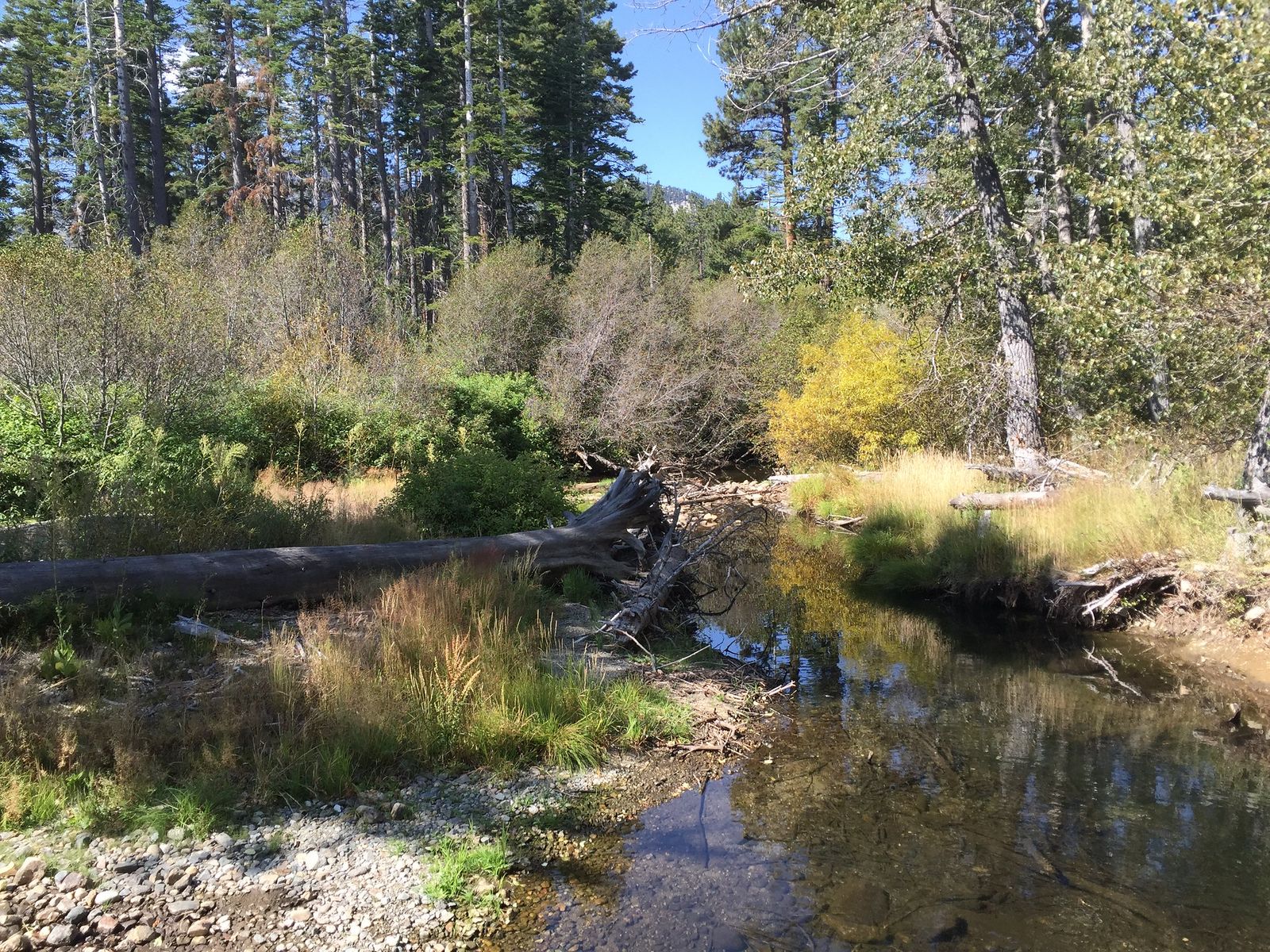
Trailhead access and parking at the Taylor Creek Visitor Center
Free U.S. Forest Service visitor center parking, about three miles northwest of South Lake Tahoe on Highway 89. The visitor center itself typically operates June through October; the surrounding trails and grounds stay open year-round, including as a winter cross-country skiing and snowshoeing area.
Difficulty, distance, and elevation gain on the Rainbow Trail
A genuine half-mile loop with minimal elevation gain, paved and fully wheelchair accessible, the easiest trail in this entire guide by a wide margin.
What you’ll see: an underwater viewing chamber for spawning kokanee salmon
The Stream Profile Chamber is an underground, glass-walled room offering an eye-level view straight into Taylor Creek genuinely unusual infrastructure, not just a viewing platform. Each fall, spawning kokanee salmon turn the creek bright red and orange as they migrate upstream, drawing both crowds and black bears to the area.

Best time to hike the Rainbow Trail: October for kokanee salmon spawning
Peak viewing typically runs late September through late October, though spawning can continue into winter depending on conditions. Leashed pets are generally permitted here, but leaving them at home during peak salmon season is a genuinely good idea given how much wildlife activity concentrates along the creek.
The trail I’d actually start with
If you’ve only got one morning on the South Shore, hike the Rubicon Trail toward Vikingsholm first; it’s the single best introduction to why Emerald Bay has the reputation it does. From there, Angora Lakes is the natural add-on if swimming and lemonade sound better than more hiking, and Taylor Creek is worth a dedicated trip specifically in October rather than a same-day stop. Van Sickle is the pick for anyone staying near the casinos who wants a real trail without a real drive.
These five trails are deliberately the lower-elevation, non-permit side of El Dorado County hiking. If waterfalls are more what you’re after, my guide to El Dorado County’s best waterfall trails covers those in depth, and if you’d rather get away from the lakeshore entirely, my guide to hiking trails in Eldorado National Forest covers the forest’s quieter, less lake-centric routes. And since altitude, sudden weather changes, and black bears are all genuine considerations at nearly every trail in this guide, my breakdowns of wildlife hazards on California trails are worth reading before your trip, not after.
Frequently asked questions
Are hiking trails open in Lake Tahoe?
Yes, generally, though access varies by season and elevation. Lakeshore trails like Fallen Leaf Lake and the Rainbow Trail stay accessible much of the year, while higher routes and some park roads close seasonally with snow, typically reopening between May and June.
What are the best hiking trails around Lake Tahoe?
On the El Dorado County South Shore specifically, the Rubicon Trail to Vikingsholm and Emerald Bay is the standout for scenery, Angora Lakes for a swim-and-lemonade payoff, and Taylor Creek’s Rainbow Trail if you’re visiting in October for the kokanee salmon run.
Is the Rubicon Trail hard?
Genuinely moderate rather than hard for most of its length, rolling terrain with some narrow, exposed sections and granite steps. The separate, steep spur down to Vikingsholm itself is the toughest single stretch, and California State Parks specifically warns against attempting it with mobility issues, since there’s no way out except hiking back up.
Is there a fee to hike to Angora Lakes?
Not for the hike itself, but yes, for the drive, the narrow access road has a parking fee, currently around $12 cash at the lot nearest the lakes. The hike from the parking area is free once you’re parked.
Can you swim in Fallen Leaf Lake?
Yes, though there’s no officially designated swim area. The lake is genuinely popular for swimming, boating, and fishing, with generally quieter conditions than Lake Tahoe’s main shoreline.
When do kokanee salmon spawn at Taylor Creek?
Typically late September through late October for peak viewing, though the run can continue into winter depending on water temperature and rainfall. The Taylor Creek Visitor Center usually stays open through late October specifically to support salmon-season visitors.