5 Best Hiking Trails in Yosemite’s Tuolumne Meadows, From Twin Alpine Lakes to a Historic Silver Mine
Hiking Trails in Tuolumne Meadows is the Yosemite most visitors never see, no valley floor crowds, no Half Dome lottery, just high-elevation granite, alpine lakes, and a single seasonal road connecting all of it. This is one region within the much larger Yosemite National Park trail system; if you’re specifically chasing Half Dome or Yosemite Falls, those are Yosemite Valley trails, a different area entirely from the five covered here. These five represent the best of the high country along Tioga Road, from a short family swim to a genuine mining ghost town above 9,900 feet.
Disclosure: Please note that some of the links below are affiliate links and at no additional cost to you, I may earn a commission. Know that I only recommend hiking gear I personally stand behind; when you use my affiliate links, it helps me run this blog and keep all of this content free of charge for readers (like you).
Key takeaways
- Best flagship hike: Cathedral Lakes, twin alpine lakes reflecting Cathedral Peak’s granite spire, and one of the most photographed views in the High Sierra.
- Best short summit: Lembert Dome, a glacier-polished granite dome with a 360-degree view of the entire meadow.
- Quietest alternative to Cathedral Lakes: Elizabeth Lake, a subalpine lake beneath Unicorn Peak with a fraction of the crowds.
- Best family-friendly option: Dog Lake, a shallow, swimmable alpine lake and the gentlest hike in this guide.
- Most unusual destination: Gaylor Lakes, high alpine lakes and the ruins of an 1870s silver mine, starting above 9,900 feet.
- Every trail in this guide depends on Tioga Road, which is closed by snow roughly seven months of the year, read the timing section on each trail before you plan a trip.
How these five Tuolumne Meadows trails compare
| Trail | Round-trip distance | Elevation gain | Difficulty | Best for |
|---|---|---|---|---|
| Cathedral Lakes | ~7-7.6 mi | ~1,000 ft | Moderate | Flagship granite-and-lake views |
| Lembert Dome | ~3.4-3.8 mi | ~850 ft | Moderate, scrambling at summit | Short summit, 360° view |
| Elizabeth Lake | ~4.6-4.8 mi | ~850-900 ft | Moderate | Quiet alternative to Cathedral Lakes |
| Dog Lake | ~2.8-3.7 mi | ~600-680 ft | Easy | Families, swimming |
| Gaylor Lakes | ~3-4.5 mi | ~600-1,500 ft | Moderate (altitude-driven) | High alpine lakes, mining history |
Cathedral Lakes Trail
This is the trail every Tuolumne Meadows guide leads with, and it earns that spot, the classic High Sierra combination of granite spire and alpine water, without a permit or a long drive to reach.
Trailhead access and parking at the Cathedral Lakes Trailhead, Tioga Road
The trailhead sits half a mile west of the Tuolumne Meadows Visitor Center, off Tioga Road. Recent renovations moved parking into a dedicated lot next to the visitor center (replacing the old roadside pullout), which adds about three-quarters of a mile to the total hike but is far less chaotic than the informal shoulder parking this trail used to be known for. No permit is required for a day hike, only overnight stays at the lakes require a wilderness permit.
Difficulty, distance and elevation gain to Cathedral Lakes
Plan on roughly 7 to 7.6 miles round trip to Upper Cathedral Lake, with about 1,000 feet of elevation gain, most of it front-loaded into the first two miles. The trailhead itself sits at 8,600 feet, so altitude will slow you down even on the moderate sections.
What you’ll see: twin alpine lakes below Cathedral Peak’s granite spire
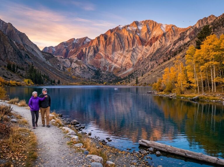
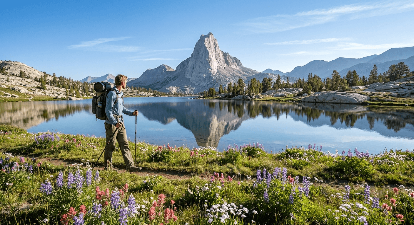
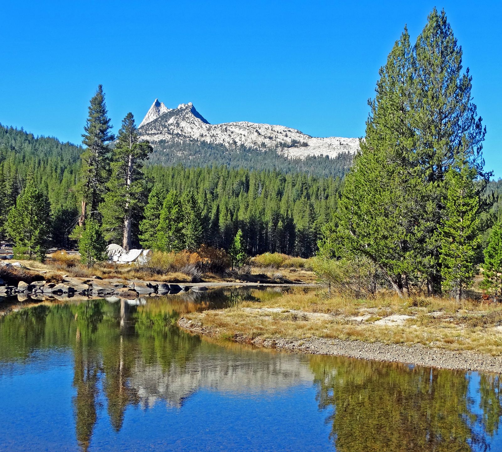
Lower and Upper Cathedral Lake each reflect the distinctive spire of 10,911-foot Cathedral Peak, with wildflower-lined meadows framing Upper Cathedral Lake in particular, genuinely one of the most photographed granite-and-water combinations in the entire Sierra Nevada, and a favorite stop for John Muir Trail thru-hikers passing through.
Best time to hike Cathedral Lakes: July through September, once Tioga Road is open
Tioga Road is a seasonal road, closed by snow from roughly November through late spring, in 2026 it opened May 15, the earliest opening in 16 years, but in heavy snow years it hasn’t opened until after July 4th. Confirm current road status before you drive up, since there’s no way to reach this trailhead while the road is closed.
Late September, right before the road typically closes for the season, also brings genuine color to the meadow grasses and aspens at lower elevations, see our fall foliage trails guide for more of the county’s best autumn color.
Lembert Dome Trail
This is the fastest way to a genuine 360-degree summit view in this entire guide, a glacier-polished granite dome you can be standing on top of within an hour of parking.
Trailhead access and parking at the Lembert Dome Trailhead, Tuolumne Meadows
The trailhead sits along Tioga Road at the eastern end of Tuolumne Meadows, sharing its parking area with the Dog Lake Trail covered later in this guide. It’s free, with no permit required.
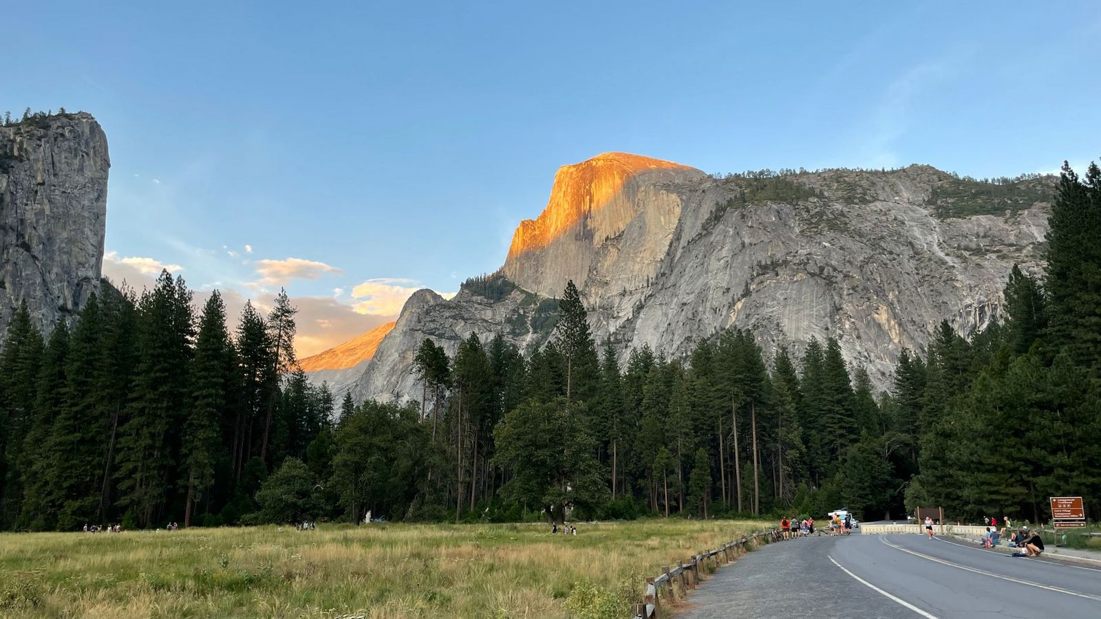
Difficulty, distance and elevation gain to Lembert Dome’s summit
Figure roughly 3.4 to 3.8 miles round trip with about 850 feet of elevation gain, on a mix of forest trail and exposed granite, a shorter, steeper profile than Cathedral Lakes. There’s no marked trail on the bare rock near the top; you pick your own line, and the final stretch is a genuine scramble rather than a walk.
What you’ll see: a 360-degree view over Tuolumne Meadows from a glacier-polished dome
Lembert Dome is a roche moutonnée, a distinctive glacial landform with a gradual uphill slope on one side and a steep cliff face on the other, shaped by the same glaciers that carved Tuolumne Meadows itself. From the 9,450-foot summit, you get a complete overhead view of the meadow, the Tuolumne River, and the Cathedral Range beyond.
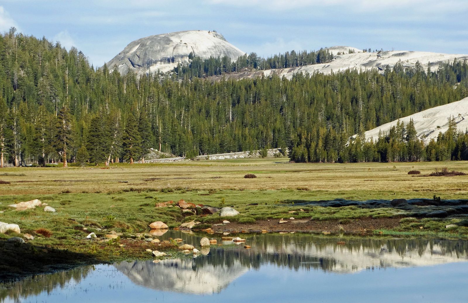
Stay off the summit entirely if thunderstorms are anywhere nearby, exposed granite domes are genuine lightning hazards in the Sierra.
Best time to hike Lembert Dome: sunrise or sunset for the best light on the granite
Low-angle light makes the polished granite genuinely glow, which is why this is one of the more popular sunrise and sunset spots in the area. One practical note: don’t attempt the summit scramble when the rock is wet, since the granite gets genuinely slick.
Elizabeth Lake Trail
If Cathedral Lakes sounds crowded, this is the quieter trail with a comparable payoff, a subalpine lake at the foot of a genuinely striking granite spire, without nearly as much company.
Trailhead access and parking at the Tuolumne Meadows Campground
This trail departs from a small lot at the south edge of Tuolumne Meadows Campground, distinct from the Tioga Road pullout used for Cathedral Lakes. If you plan on staying overnight in the high country, explore our Yosemite camping options for full campground details. It’s free, with no permit required for the day hike, though the trailhead itself can be genuinely tricky to find at the back of the campground.
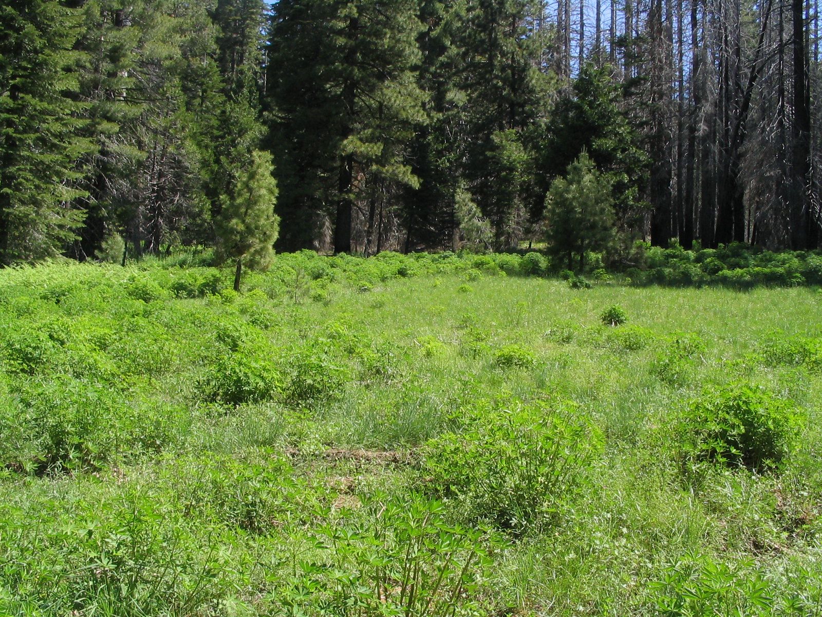
Difficulty, distance and elevation gain to Elizabeth Lake
Plan on about 4.6 to 4.8 miles round trip with roughly 850 to 900 feet of elevation gain, shorter than Cathedral Lakes but with comparable steepness per mile, especially in the first mile out of the campground.
What you’ll see: a quiet subalpine lake beneath Unicorn Peak
Elizabeth Lake sits at the base of Unicorn Peak’s steep granite slopes, with meadow and forest ringing most of the shoreline, a genuinely quieter counterpart to Cathedral Lakes, since this trail doesn’t connect to the John Muir Trail or any other through-route the way Cathedral Lakes does. One seasonal note: the creek crossing near the lake can run high and fast during snowmelt in early summer, so a later-season visit makes for an easier final approach.
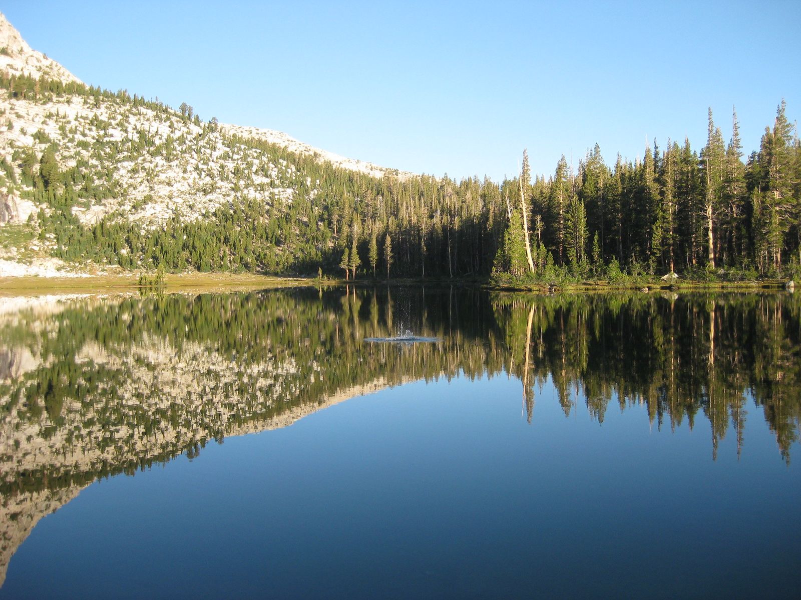
Best time to hike Elizabeth Lake: a shorter alternative to Cathedral Lakes
If you’re short on time or specifically trying to avoid Cathedral Lakes’ crowds, this is the trade, genuinely comparable scenery, a shorter round trip, and noticeably fewer people even on a busy summer weekend.
Dog Lake Trail
This closes out the easy end of this guide, the gentlest trail here, and the one place in this guide where you can actually go for a swim.
Trailhead access and parking near the Lembert Dome Trailhead
Dog Lake Trail shares its trailhead area with Lembert Dome, branching off toward a gentler destination almost immediately. Same free, permit-free access as Lembert Dome.
Difficulty, distance and elevation gain to Dog Lake
Expect roughly 2.8 to 3.7 miles round trip depending on your exact route, with 600 to 680 feet of elevation gain, the gentlest, most family-friendly profile in this entire guide, though the first stretch alongside Lembert Dome is genuinely steep before it eases off.
What you’ll see: a gentle, family-friendly alpine lake
Dog Lake is shallow enough to warm up more than most alpine lakes in the area, making it a genuine swimming destination in summer rather than just a scenic stop, a real contrast to the granite-scramble drama of Lembert Dome or Cathedral Peak nearby. One bit of irony worth knowing: despite the name, dogs are not actually permitted on this trail (or almost anywhere else in Yosemite’s backcountry), it’s named for a 19th-century sheepdog, not a policy.
Best time to hike Dog Lake: an easy warm-up before tackling Lembert Dome
Because it’s short and gentle, this is a genuinely good first hike of a Tuolumne Meadows trip, a low-stakes way to test how you’re handling the 8,600-foot starting elevation before committing to something longer. Once you’re acclimated, the Glen Aulin trailhead near Dog Lake and Lembert Dome is also where you’d set off for Tuolumne Falls and White Cascade, covered in our waterfall-focused guide in this same series.
Gaylor Lakes Trail
This closes the list on its most unusual note, a high alpine basin above treeline, with a real ghost town at the end of it.
Trailhead access and parking at the Tioga Pass Entrance Station
A small lot sits right at the park’s eastern entrance station, with an overflow lot about a tenth of a mile south if the main one is full. This is the highest-elevation trailhead in this guide, starting around 9,950 feet, genuinely cold even on summer mornings, so dress for it.
Difficulty, distance and elevation gain to Gaylor Lakes
The hike to Middle and Upper Gaylor Lakes runs about 3 miles round trip with roughly 600 to 1,000 feet of gain; continuing on to the Great Sierra Mine and Granite Lakes stretches that to about 4.5 miles and 1,500 feet. Short in distance, genuinely taxing in practice, since the entire route sits between 9,900 and 11,000 feet, our guide to high-elevation hiking in the Sierra Nevada covers what to expect and how to acclimatize before attempting a trail like this one.
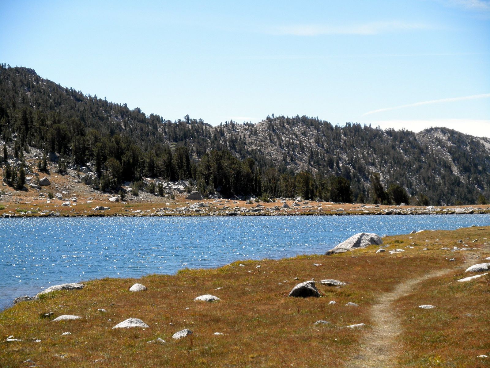
What you’ll see: high alpine lakes and a historic 1870s silver mine
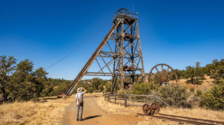
Above treeline, the trail passes a chain of alpine lakes before reaching the ruins of the Great Sierra Mine, a short-lived 1870s silver-mining operation; stone cabins, tailings piles, and several mine shafts still stand. One real safety note: the shafts have a history of collapsing or being filled, though hikers report some remain visible and should still be treated with real caution, so keep a genuine distance rather than peering over the edge.
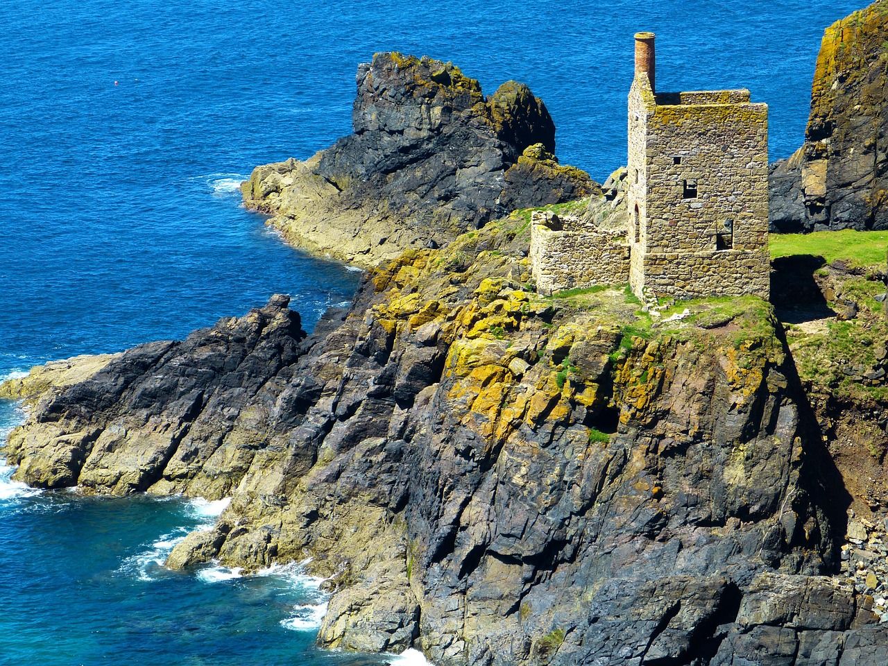
Best time to hike Gaylor Lakes: midday, after the trailhead warms up from a cold start
Starting at nearly 10,000 feet, early mornings here can be genuinely cold even in July and August. A midday start gives the trailhead time to warm up without sacrificing much daylight, since the hike itself is short.
The bottom line
Start with Cathedral Lakes for the classic Tuolumne Meadows experience, or Dog Lake if you want to ease into the elevation first. Lembert Dome is the best return on a short time investment, and Gaylor Lakes is worth the drive to Tioga Pass specifically for how different it feels from everywhere else on this list.
This guide covers only the Tioga Road corridor within our full Tuolumne County hiking hub, the county also includes the Big Oak Flat and Hetch Hetchy entrance corridor and the non-Yosemite Stanislaus National Forest, both covered elsewhere in this series. If you’re still figuring out logistics.
Frequently asked questions about hiking trails in Yosemite’s Tuolumne Meadows
How many hiking trails are in Yosemite National Park?
Yosemite has hundreds of miles of maintained trail across the entire park, from short paved walks in Yosemite Valley to multi-day backcountry routes, the five trails in this guide cover only the Tuolumne Meadows high-country section along Tioga Road.
How many miles of hiking trails are in Yosemite?
Yosemite maintains roughly 750 to 800 miles of trail parkwide, spanning everything from valley floor boardwalks to sections of the John Muir and Pacific Crest Trails that pass through the high country covered in this guide.
Is Tioga Road open year-round?
No, it’s a seasonal road, typically closed by snow from around November through late May or June, though the exact dates shift year to year based on snowpack. In 2026 it opened May 15, the earliest in 16 years.
Do you need a permit to hike in Tuolumne Meadows?
Not for day hikes on any of the five trails in this guide. Wilderness permits are only required for overnight backcountry camping, such as staying overnight at Cathedral Lakes.
Is Lembert Dome hard to climb?
It’s short but genuinely steep, with a final unmarked granite scramble to the summit that requires good footwear and dry conditions, not technical climbing, but not a casual stroll either.
Is Cathedral Lakes Trail crowded?
By Yosemite Valley standards, no, but it’s one of the more popular trails in the Tioga Road corridor specifically, since it’s part of the John Muir Trail. Elizabeth Lake is the better choice nearby if you want comparable scenery with fewer people.