Best Hiking Trails in Yosemite National Park
Yosemite doesn’t need much of an introduction, but it does need a plan; 800-plus miles of trail spread across four very different zones means “hiking Yosemite” can mean a flat mile to a waterfall or a 16-mile permit-lottery slog up a granite cable route. Most visitors default to the same three or four famous names without realizing how much easier scenery-for-effort sits just a zone away. This guide breaks down the best hiking trails in Yosemite by difficulty, the permits that actually still apply in 2026, and when to go depending on what you want to see.
Disclosure: Please note that some of the links below are affiliate links and at no additional cost to you, I may earn a commission. Know that I only recommend hiking gear I personally stand behind; when you use my affiliate links, it helps me run this blog and keep all of this content free of charge for readers (like you).
Key takeaways
- Yosemite has more than 800 miles of maintained trail across four zones, Yosemite Valley, Tuolumne Meadows, Wawona, and Hetch Hetchy, reachable from 13 trailheads in the Valley alone.
- As of 2026, Yosemite requires no timed-entry reservation to drive into the park, a real change from the peak-hours system used in 2024 and 2025. You still need a standard entrance pass.
- Wilderness permits and the Half Dome permit are separate systems, unaffected by the entry-reservation change, and both are still required exactly as before.
- Half Dome’s permit lottery runs in March with roughly a 2–3% success rate for the preseason draw, genuinely one of the hardest single-trail permits to win in California.
- Easy, permit-free trails exist right alongside the iconic hard ones; Lower Yosemite Fall and Bridalveil Fall are both under a mile round trip.
- Spring delivers peak waterfall flow but also the wettest, most crowded Mist Trail conditions of the year.
Why Yosemite National Park is California’s premier hiking destination
Yosemite earned its UNESCO World Heritage status the same way it earns four million-plus visitors a year: a concentration of iconic granite, waterfalls, and old-growth sequoias that few places on earth can match, all connected by a genuinely enormous trail network.
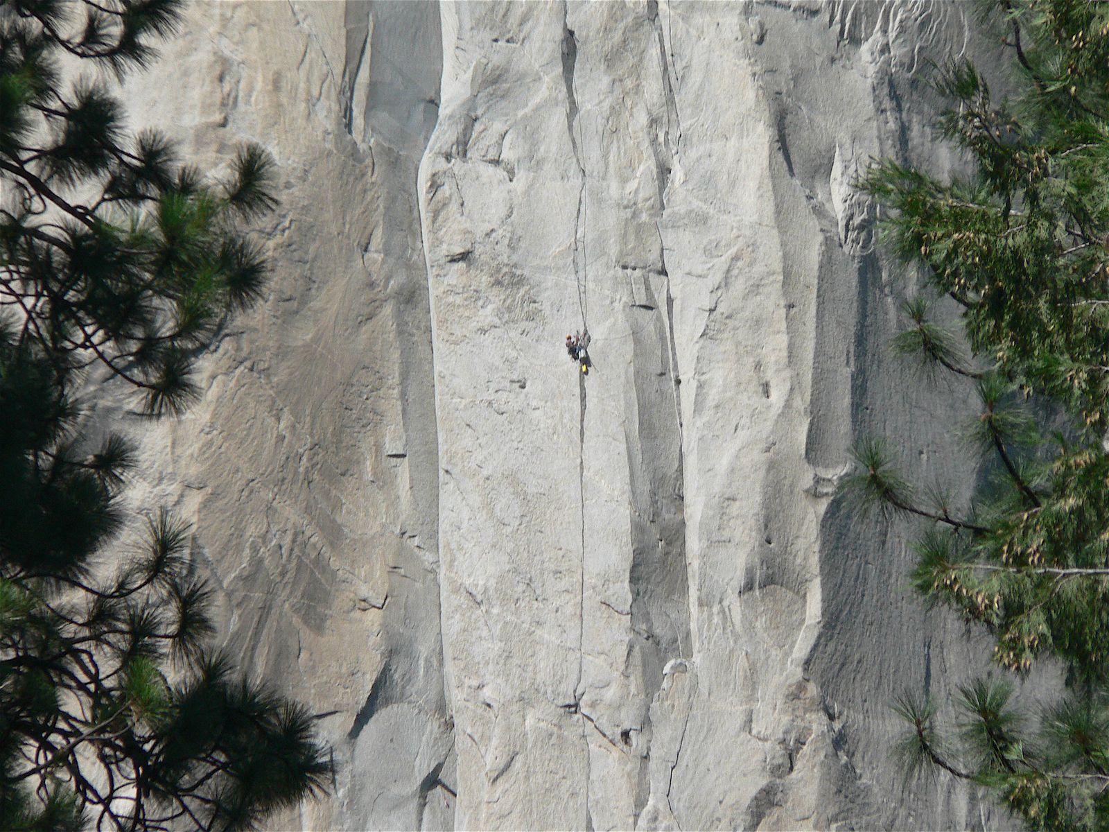
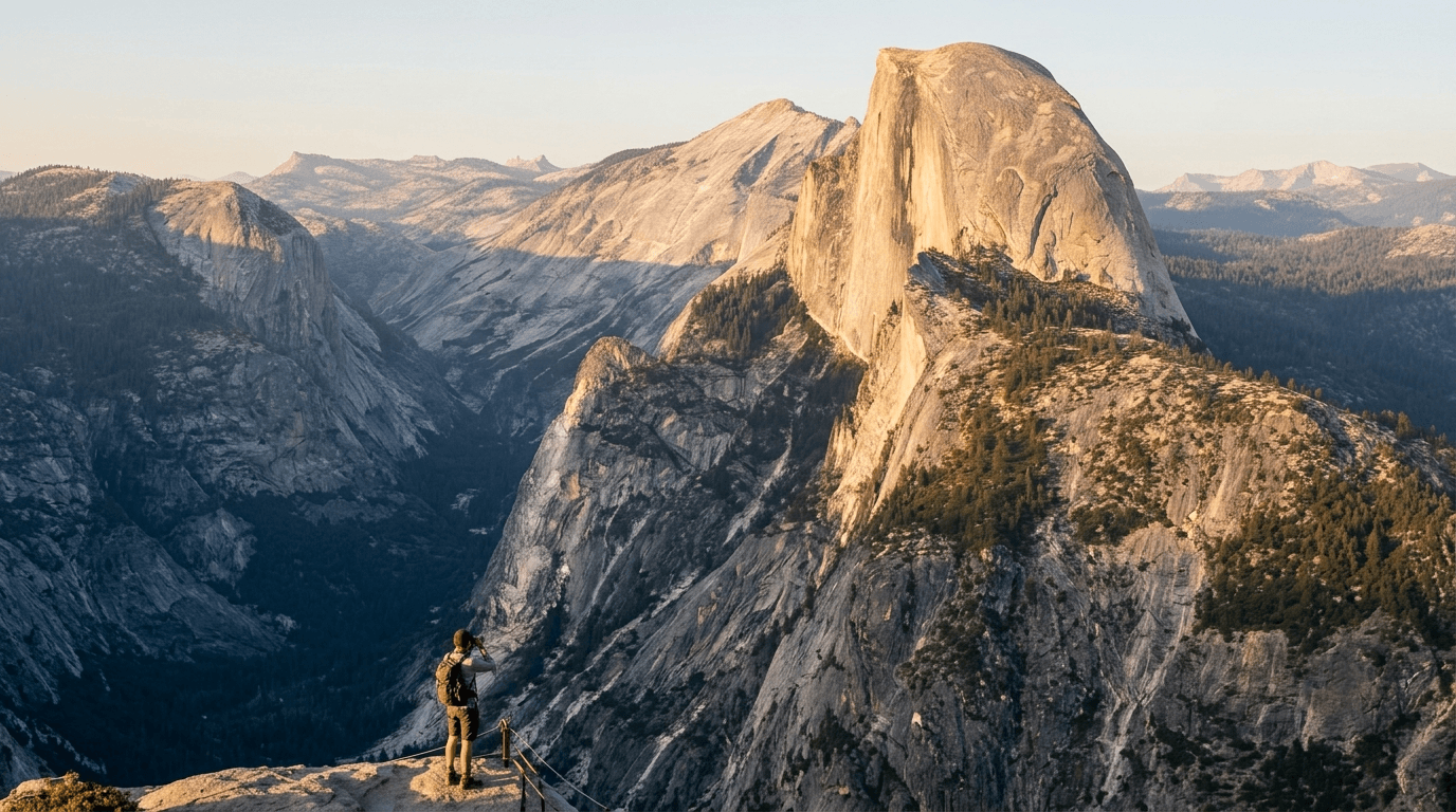
El Capitan, Half Dome, and the Valley’s waterfalls get the postcard attention, but the trail system extends far beyond what most visitors ever see in a single trip, such as the quiet northern reservoir loop. Check out how Yosemite compares to other parks in our California national parks hiking guide.
How many hiking trails does Yosemite National Park have?
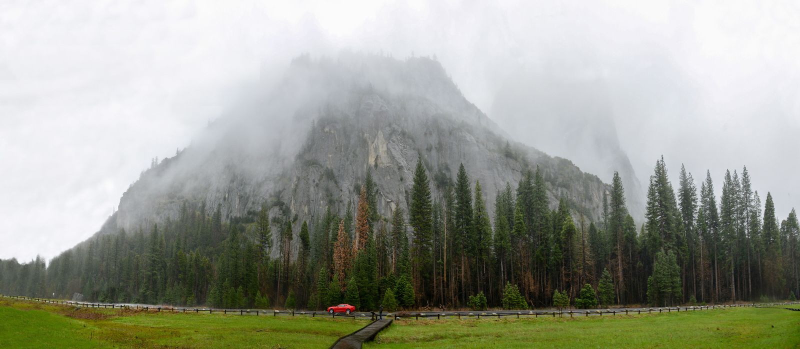
Yosemite maintains more than 800 miles of trail across four distinct hiking zones, Yosemite Valley, Tuolumne Meadows, Wawona, and Hetch Hetchy, with 13 trailheads accessible directly from Yosemite Valley alone. Most first-time visitors never leave the Valley zone, which means Tuolumne, Wawona, and Hetch Hetchy routinely offer Yosemite-caliber scenery with a fraction of the crowds.
Best easy hiking trails in Yosemite National Park
For a variety of short and easy hikes with minimal elevation gain and genuinely worthwhile scenery, these are the trails that work for a first Yosemite visit, a family with young kids, or anyone who’d rather bring a light day pack carrying the basics outlined in our hiking gear checklist than a full backcountry kit.
Lower Yosemite Falls Trail: Yosemite’s most accessible waterfall hike
A 1-mile round trip, paved and wheelchair-accessible, starting near Yosemite Valley Lodge. Flow peaks April through June and can slow to a trickle by late summer, so morning light and spring timing both matter if you want the classic photo; it’s one of the best waterfall hikes in California worth timing around peak flow rather than convenience alone.
Bridalveil Fall Trail: the first hike most Yosemite visitors take
At just 0.5 mi round trip, Bridalveil is often the very first stop for visitors entering the Valley, and unlike Yosemite Falls, it’s spring-fed and flows year-round. Expect a genuine mist zone at the base in spring, bring a layer you don’t mind getting wet.
Valley Floor Loop and Mirror Lake: exploring Yosemite Valley on foot
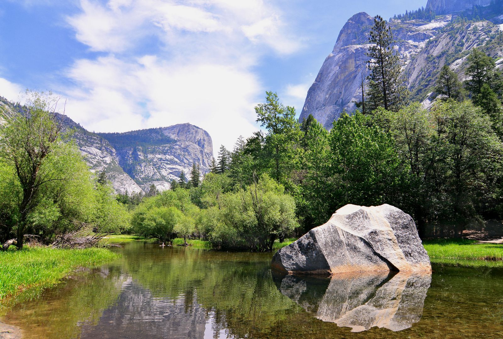
The full Valley Floor Loop runs about 13 miles, mostly flat and shared with cyclists, though a 6.6-mile east-loop option covers the most scenic stretch without the full commitment. Mirror Lake, reached via an easy path from the Valley, adds a classic reflective view of Half Dome and is one of the most-searched short hikes in the park for exactly that reason.
Best moderate hiking trails in Yosemite National Park
No permit required for any of these as day hikes, but real elevation gain separates this tier from the Valley floor walks above.
The Mist Trail to Vernal Fall: Yosemite’s most popular moderate hike
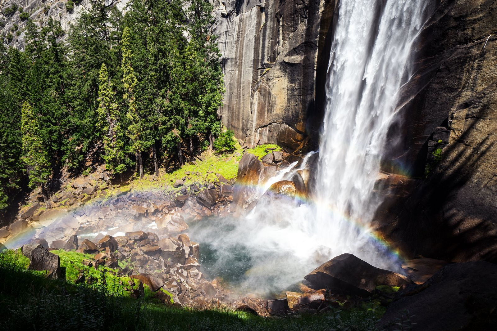
A 3-mile round trip with about 1,000 ft of gain up wet granite steps, railing-assisted in the steepest sections. Peak flow in May and June means genuine mist; pack a rain layer even on a clear day, since the trail earns its name honestly during spring runoff.
Sentinel Dome: Yosemite’s best view for the least effort
At 2.2 mi round trip with about 400 ft of gain, Sentinel Dome delivers a 360-degree Valley view for a fraction of the effort of Half Dome or Cloud’s Rest. The trailhead sits off Glacier Point Road, which closes seasonally with the winter snowpack.
Nevada Fall via the John Muir Trail: a moderate alternative to the Mist Trail
A 7-mile round trip with about 2,000 ft of gain, this switchbacking route is noticeably less crowded than the adjacent Mist Trail and connects directly to the Half Dome day-hike route for anyone continuing further.
Best difficult hiking trails in Yosemite National Park
These are genuinely strenuous routes by our California difficulty scale, real elevation gain, real time commitment, and in Half Dome’s case, real exposure on the cables.
Half Dome: Yosemite’s most iconic and most regulated hike
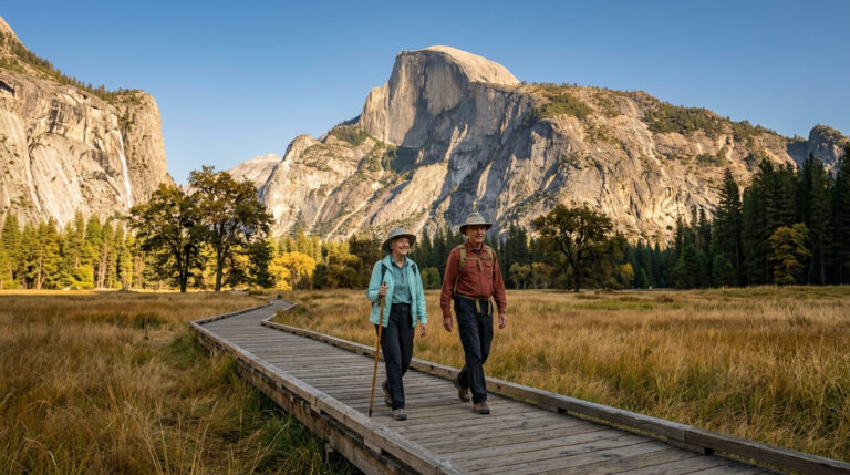
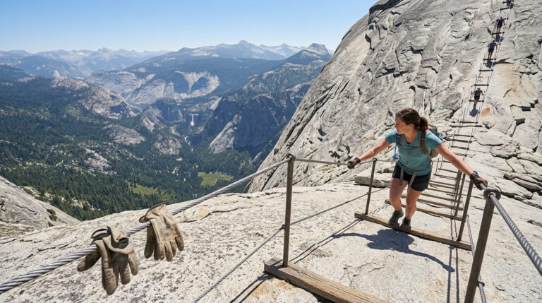
Half Dome runs 14–16 miles round trip with roughly 4,800 ft of elevation gain, finishing with a cable-assisted climb up exposed granite that’s genuinely the most talked-about single stretch of trail in California.
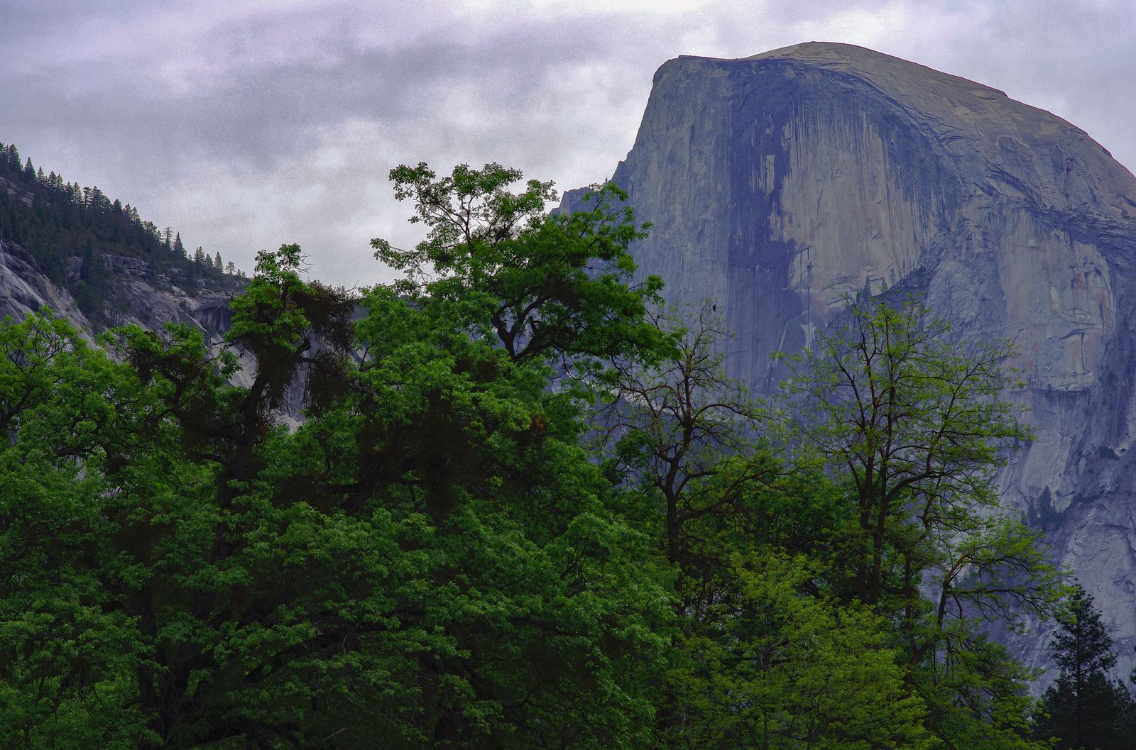
A permit is required for the cable section from late May through mid-October: the Half Dome permit lottery opens and runs through March each year via Recreation.gov, with results in mid-April, a non-refundable application fee, and a per-person charge if you’re awarded a spot.
Roughly 300 permits are issued per day, and the preseason lottery’s success rate runs around 2–3%, genuinely one of the hardest permits to win in California hiking. A smaller daily lottery two days before your hike date offers a second, longer-shot chance if the preseason draw doesn’t work out. Be sure to pack a sturdy pair of climbing gloves for the cables.
Upper Yosemite Falls Trail: the strenuous route to North America’s tallest waterfall
A 7.2-mile round trip with about 2,700 ft of elevation gain to the top of Upper Yosemite Falls, the tallest waterfall in North America at 2,425 ft. No permit is required for this one as a day hike, which makes it a genuine alternative for hikers who want a serious full-day challenge without entering the Half Dome lottery at all.
Cloud’s Rest: Yosemite’s best full-day hike without a lottery
At around 14 miles round trip from Tenaya Lake with about 2,700 ft of gain, Cloud’s Rest delivers views that many hikers rate above Half Dome’s, a full 360-degree summit panorama including Half Dome itself from a distance, without any permit required for a day hike.
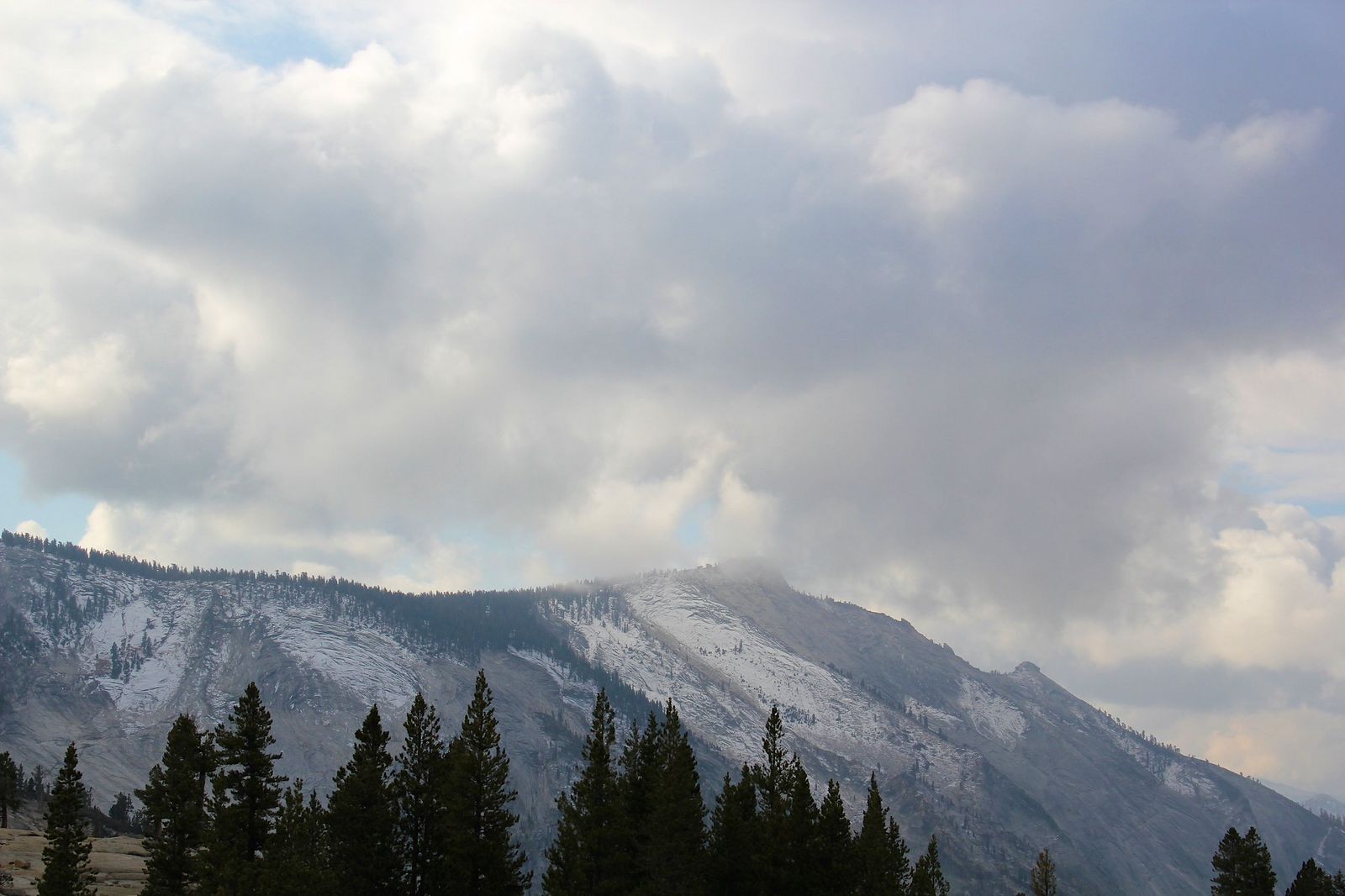
The tradeoff is access: the trailhead sits on Tioga Road, which typically closes from November through May with the snowpack, so this option simply doesn’t exist for roughly half the year.
Yosemite hiking permits, reservations, and entry requirements in 2026
This is the section most likely to be out of date on other sites, so it’s worth reading carefully regardless of where else you’ve researched your trip, especially if you’re deciding between a day trip and an overnight, since that choice determines which permit rules actually apply to you.
Do you need a reservation to enter Yosemite in 2026?
No, as of the 2026 season, Yosemite is not requiring a timed-entry or peak-hours reservation to drive into the park, reversing the system used through 2024 and 2025 and joining several other major national parks that dropped similar systems the same year.
You still need a standard entrance pass ($35 per vehicle for seven days, or the America the Beautiful Pass), and the park has warned that dropping the reservation system has meant heavier congestion, with Valley parking commonly full by mid-morning on busy days and entrance-station waits stretching past an hour on peak weekends.
This policy applies for the 2026 season specifically; NPS has not committed to it beyond this year, and officials have said they’ll adjust “active traffic management strategies” as needed, so confirm current status before you go rather than assuming this year’s rules will still apply next season.
Which Yosemite permits are still required: wilderness and Half Dome
Two permit systems are completely separate from the entry-reservation question above and remain exactly as before: overnight wilderness permits for any backcountry camping, and the Half Dome cable-section permit covered above. Read our comprehensive Yosemite permit system overview and Yosemite navigation guide for step-by-step instructions. Neither was affected by the 2026 reservation change, so don’t assume “no reservation needed” means “no permit needed” for either of these, and Leave No Trace expectations apply just as strictly in Yosemite’s backcountry as they do anywhere else in California.
Seasonal guide: best time to hike in Yosemite National Park
| Season | What to expect |
|---|---|
| Spring (Apr–Jun) | Peak waterfall flow, high water crossings, Mist Trail genuinely wet, Tioga Road typically opens late May |
| Summer (Jun–Sep) | Hottest, busiest, all zones open including Tuolumne Meadows |
| Fall (Sep–Nov) | Golden oak color, thinner crowds, waterfalls slowing or dry |
| Winter (Dec–Mar) | Snow and ice on trails, peaceful Valley, Glacier Point Road and Tioga Road both closed |
Spring hiking in Yosemite: peak waterfalls and high water crossings
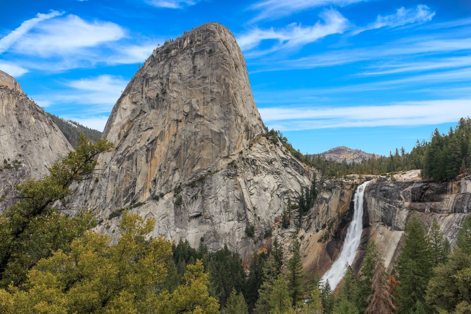
May and June deliver Yosemite Falls, Bridalveil, and Vernal and Nevada Falls at maximum flow, genuinely the best month to see the park’s waterfalls at their most dramatic. That same peak flow makes the Mist Trail authentically wet underfoot and pushes river crossings elsewhere in the park to their highest and most dangerous levels of the year, so respect posted water hazard warnings even on a trail you’ve hiked easily before in a drier month.
Yosemite rewards a little planning more than almost any California destination; the difference between a crowded, permit-locked trip and a genuinely great one often comes down to picking the right trail for your season and skill level rather than defaulting to Half Dome because it’s the name everyone knows. To prepare for snow and icy trail conditions, take a look at our cold-weather Yosemite guide before you head out.
Start with the difficulty tier that matches your fitness, check the current entry and permit statuses, and explore our Yosemite overnight camping tips if you plan to stay past sunset. even the quietest zones here hold scenery most other California trails simply can’t match.
Frequently asked questions about hiking in Yosemite National Park
How many hiking trails are in Yosemite National Park?
Yosemite maintains more than 800 miles of trail across four zones, Yosemite Valley, Tuolumne Meadows, Wawona, and Hetch Hetchy, with 13 trailheads accessible from the Valley alone.
Do you need hiking boots for the Mist Trail in Yosemite?
Sturdy, grippy footwear is strongly recommended; the granite steps near Vernal Fall get genuinely slick with spray, especially during peak spring flow. Trail runners with good tread can work in drier months, but boots are the safer choice in spring.
What are the best hiking trails in Yosemite National Park?
For most visitors: Lower Yosemite Fall or Bridalveil Fall for an easy first stop, the Mist Trail to Vernal Fall for a moderate classic, and Half Dome or Cloud’s Rest for a serious full-day challenge, the “best” trail really depends on your fitness and how much planning you want to do around permits.
How do I get a Half Dome permit in Yosemite?
Apply during the preseason lottery, which runs through March each year on Recreation.gov, with results in mid-April. Expect roughly a 2–3% success rate, a daily lottery is also available two days before your hike date for a smaller number of remaining permits.
Do I need a reservation to hike in Yosemite in 2026?
No, Yosemite dropped its timed-entry reservation requirement for 2026, so you can drive in without booking ahead. You’ll still need a standard entrance pass, and separate wilderness or Half Dome permits are still required if your hike needs one.
How hard is the Half Dome hike and how long does it take?
It’s a genuinely strenuous 14–16 mile round trip with about 4,800 ft of elevation gain, typically taking 10–12 hours for a fit day hiker. The cable-assisted final section adds real exposure that shouldn’t be underestimated regardless of your fitness level.