Upper Yosemite Falls Hiking Guide
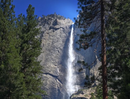
The Upper Yosemite Falls hike announces itself before you reach the trailhead. Look up from the floor of Yosemite Valley, and you can see the whole show: a thin ribbon of water, or a pale streak on granite, falling 2,425 feet across three tiers. Then you find the sign near Camp 4, and the trail begins doing what it will do for the next several hours, which is go up.
Disclosure: Please note that some of the links below are affiliate links and at no additional cost to you, I may earn a commission. Know that I only recommend hiking gear I personally stand behind; when you use my affiliate links, it helps me run this blog and keep all of this content free of charge for readers (like you).
This is one of Yosemite’s oldest historic trails, built between 1873 and 1877. It is also one of the Valley’s strenuous day hikes: 7.2 miles round trip, about 2,700 feet of climbing, and no drinking water along the way. Whether the reward is a wall of spray or a quiet cliff depends almost entirely on the month you go. So let’s walk it in the order your questions will arrive, starting with where it begins and ending with what to do if the falls turn out to be dry.
Upper Yosemite Falls hike at a glance
| Detail | What NPS reports |
|---|---|
| Distance to the top | 7.2 mi (11.6 km) round trip |
| Elevation gain | 2,700 ft (823 m) |
| Difficulty | Strenuous |
| Time | 6–8 hours round trip |
| Trailhead | Camp 4 area, near shuttle stop #7 |
| Shorter option | Columbia Rock: 2 mi round trip, 1,000 ft gain, moderate, 2–3 hours |
| Add-ons from the top | Yosemite Point (adds 1.6 mi round trip) or Eagle Peak (adds 5.8 mi round trip) |
| Season | Open year-round; conditions vary |
| Dogs | Not allowed |
| Water | None on the trail; a fountain at Camp 4; carry 4 quarts or liters |
What are Yosemite Falls, and which part do you climb?
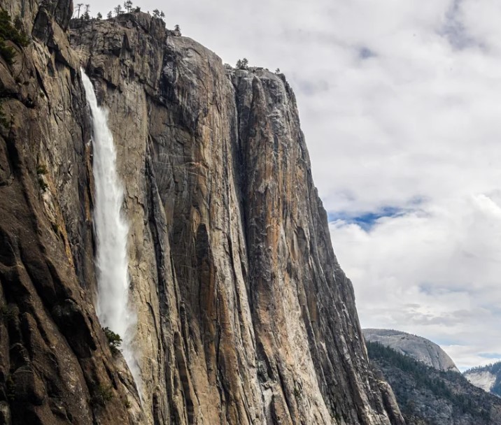
Yosemite Falls is three falls stacked in one cliff face: Upper Yosemite Fall at 1,430 feet, the middle cascades at 675 feet, and Lower Yosemite Fall at 320 feet. Together they make up 2,425 feet, which NPS counts among the tallest waterfalls in North America. Yosemite Creek feeds the falls.
The Upper Yosemite Falls hike climbs from the Valley floor to the top of that upper drop. NPS calls it the Yosemite Falls Trail, and it is a different outing from the one-mile Lower Yosemite Falls loop, which stays on the Valley floor. The Valley sits in Mariposa County, and our hub for hiking trails in Mariposa County shows what else surrounds it. For the bigger picture, see our guide to the best hiking trails in Yosemite National Park.
Where is the Upper Yosemite Falls trailhead?
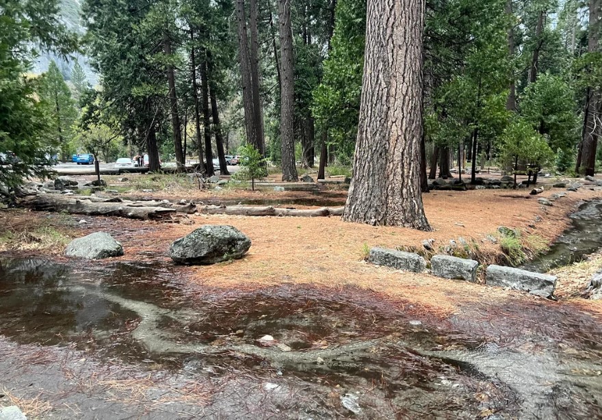
The trailhead is near Camp 4, along the Valley Loop Trail on the north side of the Valley. Getting there takes some care, because the obvious parking lot is not for you.
- By shuttle: Ride the free Valley shuttle to stop #7, walk directly across the street to Camp 4, and follow the trailhead signs.
- By car: The Camp 4 parking area is for campers only. Day hikers use the Yosemite Falls parking area across the street from Camp 4 and just beyond its entrance. Parking in the Valley is limited, and the Yosemite Conservancy encourages visitors to take the shuttle to the trailhead.
- Facilities: Restrooms and a drinking fountain are at Camp 4, near the start. There are none farther up.
- Not the same stop: The Lower Yosemite Fall trailhead is shuttle stop #6. Mixing them up costs you a walk.
As of 2026, NPS says you do not need a reservation to enter Yosemite, but the entrance fee applies, and the park does not accept cash. Policies change from year to year, so confirm before you drive in. If you are building a longer trip, our Yosemite trailhead and map guide covers orientation, our guide to where to stay near Yosemite covers lodging, and our Yosemite permits and wilderness access guide explains what needs a permit.
The hike to Upper Yosemite Falls, switchback by switchback
From Camp 4 to Columbia Rock
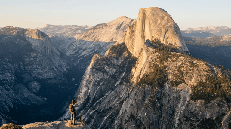
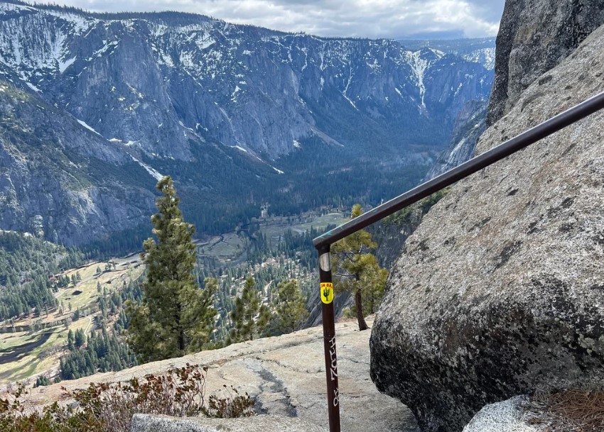
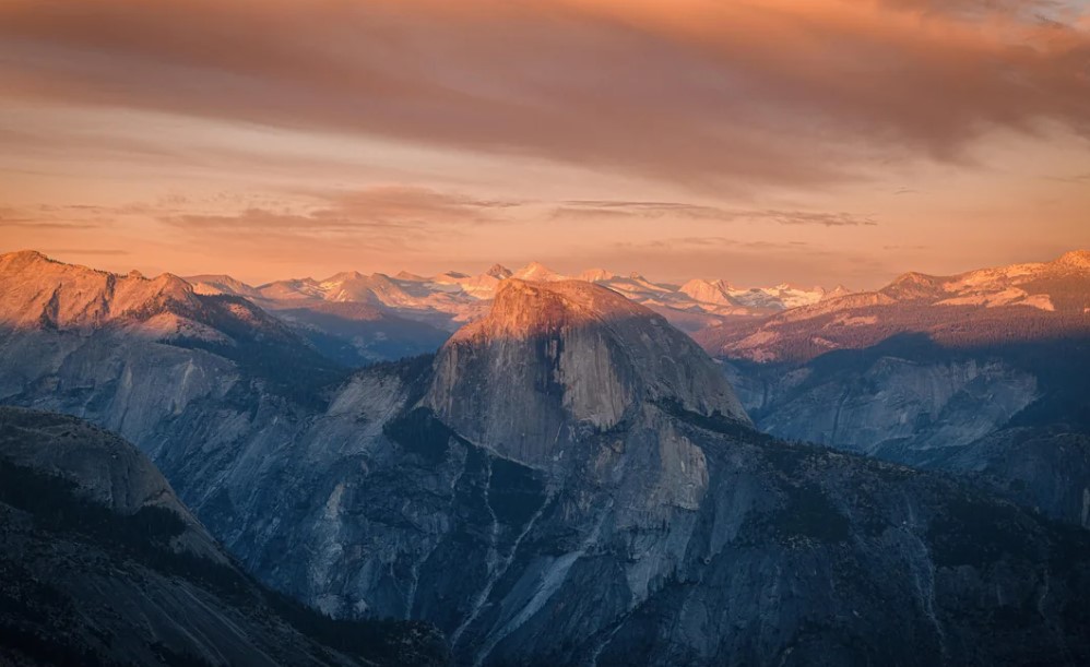
The trail starts climbing immediately, switchback after switchback, through oak woodland. After about a mile and 1,000 feet of dozens of turns, you reach Columbia Rock. The view opens onto Yosemite Valley, Half Dome, and Sentinel Rock. NPS rates this section moderate and puts the round trip at 2 to 3 hours. It is a complete outing on its own, and NPS says Columbia Rock is a good trip at any time of year.
From Columbia Rock to the foot of the Upper Fall
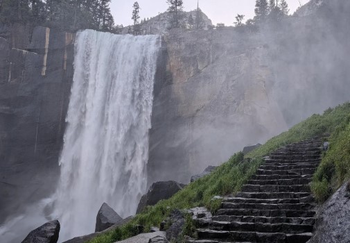
Past the overlook, the trail eases for about half a mile, and part of it even runs downhill. Then Upper Yosemite Fall comes into view up close, and depending on the season, you may feel its mist from the trail. At roughly 1.5 miles in, this is a sensible turnaround if you are short on time or energy.
The climb to the top
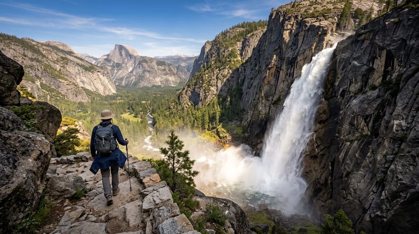
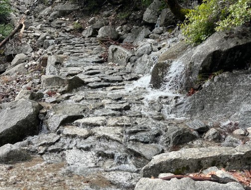
Above this point, the trail gets steeper and rockier, and the work begins in earnest. The upper portion is exposed, and NPS says it gets no shade until late afternoon or early evening. Loose sand sits on top of rock in many places, which makes footing slick. Sprained ankles and knee injuries are common here, according to NPS, and it asks hikers not to cut across switchbacks, which erodes the trail.
The top of the falls
At the top, you may be surprised by how small Yosemite Creek is. Such a modest stream feeds a drop this size. NPS asks you to use extreme caution because you are directly above a waterfall, and not to swim or wade in the creek. Stay on the maintained path, since steep drops and ledges sit just off it. The top is about 3.6 miles from the trailhead, half of the 7.2-mile round trip.
How hard is the hike to Upper Yosemite Falls?
NPS rates the full trail strenuous, and the climb is steady, with only a short easier stretch after Columbia Rock. Here is how it compares with other Valley hikes, using NPS figures:
| Hike | Distance | Elevation gain | NPS difficulty |
|---|---|---|---|
| Lower Yosemite Fall Trail | 1 mi loop | 50 ft | Easy |
| Columbia Rock (Yosemite Falls Trail) | 2 mi round trip | 1,000 ft | Moderate |
| Vernal and Nevada Fall Trails | 1.6–8 mi round trip | 400–2,000 ft | Moderate to strenuous |
| Upper Yosemite Falls | 7.2 mi round trip | 2,700 ft | Strenuous |
| Four Mile Trail | 4.8 mi one way | 3,200 ft | Strenuous |
| Half Dome Trail | 14–16.4 mi round trip | 4,800 ft | Strenuous |
It is a demanding day by any measure, though shorter and with less climbing than Half Dome. Our guide on how to train for a difficult California hike covers building the legs for it, and our Half Dome permit and cables planning guide covers the next step up.
When is the best time to hike Upper Yosemite Falls?
The answer depends on the water. NPS says Yosemite Falls flows from about November through July, with the peak in May. Here is how the year breaks down:
- April to June: Runoff roars. In spring, when the waterfall is at its peak, you may even get wet from the spray along one stretch of the trail.
- July: The falls are still flowing, but conditions are hot and dry, and the loose decomposed granite can be slippery.
- August to October: Water levels are low, and NPS says you may see only a trickle by August. The falls are often dry. The views from the trail remain, but the waterfall does not.
- November to March: Storms in late fall can restart the flow, and NPS points to an ice cone at the base of the upper fall in winter. The lower part of the trail gets direct winter sun and can be snow-free, but the upper part gets little to no sunlight and can be very icy or buried in snow.
Check the NPS current conditions page before you go. It includes a link to a Yosemite Falls webcam, plus trail closures, fire and smoke updates, and seasonal waterfall notes. For month-by-month weather, see our guide to Yosemite weather by month.
What should you know before you start?
The NPS Yosemite Falls Trail page is the source for most of what follows.
- Water: Drinking water is not available along the trail. Bring 4 quarts or liters if you are going to the top.
- Start early: The trail can become very hot at midday in summer, and starting at first light means doing the steepest climbing in the cooler hours.
- Pace yourself: Drink often, rest in the shade, and eat salty snacks. NPS notes that existing medical conditions can be made worse by the steep ascent, so know your limits.
- Footing: Expect loose sand over rock on both the climb and the descent. Many hikers find trekking poles helpful on the way down.
- Wildlife and food: Keep your food within arm’s reach at all times, and do not feed wildlife. NPS reminds visitors that bears are active across the park. Our guide to wildlife hazards on California trails covers bear etiquette.
- Trail rules: Pets, bicycles, and strollers are prohibited. Carry out all trash and food waste, including fruit peels and shells.
Can you hike past the top of Upper Yosemite Falls?
Yes. From the top, two trails continue, and both are optional extensions:
- Yosemite Point: Follow signs for North Dome, east of the falls. It adds 1.6 miles round trip. NPS says the views of Half Dome rival those on the North Dome trail, and you can see Lost Arrow Spire up close.
- Eagle Peak: Follow signs for El Capitan, west of the falls. It adds 5.8 miles round trip. Eagle Peak is part of the Three Brothers rock formation and the highest point on the north rim of the Valley.
A wilderness permit is not required for day hikes (except to Half Dome), but it is required for any overnight stay in the Yosemite Wilderness.
Yosemite Falls hiking when the water is low
If you arrive in late summer or fall and the falls are dry, you still have good options. Columbia Rock works at any time of year. Lower Yosemite Fall is often dry from late July or August through October, so it will not help you then. Bridalveil Fall flows all year, and NPS says Vernal Fall and Nevada Fall also flow all year, though Vernal narrows and splits into separate falls by mid to late summer.
For more waterfall ideas across the state, see our guide to the best waterfall hikes in California and our roundup of waterfall hiking trails in Mariposa County.
The bottom line
The Upper Yosemite Falls hike asks for roughly 2,700 feet of climbing and gives back one of the best views in the Valley. Go in late April through June if you want the water at full volume, start at first light, carry four liters, and give yourself a full day. If the falls are dry when you arrive, the climb is still there and so is the view. Ask yourself how much of the trail you want to earn, and turn around when your legs say so. The falls will still be there next spring.
Upper Yosemite Falls hike FAQs
How long is the Upper Yosemite Falls hike?
NPS lists 7.2 miles round trip to the top, with 2,700 feet of elevation gain. Plan on 6 to 8 hours. Columbia Rock is 2 miles round trip and takes 2 to 3 hours.
Is the hike dangerous?
The main risks are heat, slippery footing, and drop-offs. NPS reports that sprained ankles and knee injuries are common, and there are steep drops beside the trail. Do not swim or wade in the creek above the falls.
Are dogs allowed on the trail?
No. Pets are prohibited on the Yosemite Falls Trail. Leashed pets are allowed on the paved Lower Yosemite Falls loop.
Can you hike it in winter?
The trail is open year-round, but the upper section can be very icy or buried in snow. NPS says hiking in the colder early morning or late afternoon hours can be even more dangerous when the trail is icy.
Do you need a permit or reservation?
No permit is needed for the day hike. As of 2026, NPS says no reservation is needed to enter the park.
How much does it cost to enter Yosemite?
NPS lists a standard private-vehicle pass at $35, valid for seven days, and $20 per person for those on foot or bicycle (16 and older). Non-US residents 16 and older pay an additional $100 per person, unless they hold an Annual or America the Beautiful Pass. The park does not accept cash.