Best Hiking Trails in California for Solo Female Hikers
The best hiking trails in California for solo female hikers aren’t necessarily the easiest ones; they’re the ones where you’re rarely, if ever, actually alone. For additional reading and trip preparation, you can also browse our collection of recommended hiking books and safety guides. I picked these seven for consistent foot traffic, reliable cell signal, and clear, hard-to-lose trail marking, not for remoteness or difficulty. A few of them are challenging. All of them are busy enough that solo doesn’t mean isolated.
Disclosure: Please note that some of the links below are affiliate links and at no additional cost to you, I may earn a commission. Know that I only recommend hiking gear I personally stand behind; when you use my affiliate links, it helps me run this blog and keep all of this content free of charge for readers (like you).
Key takeaways
- Busiest urban pick: West Cliff Drive, Santa Cruz (a paved coastal path with surfers, joggers, and dog walkers nearly the entire way).
- Most reassuring popularity: Cowles Mountain, San Diego (the city’s most-hiked peak, crowded even before sunrise).
- Best ranger presence: Bayside Trail, Cabrillo National Monument (inside a staffed National Park Service site with fixed hours).
- Best birding crowd: Big Morongo Canyon Preserve (a boardwalk loop that draws a steady stream of daytime visitors).
- Best Sierra pick: the Rubicon Trail between D.L. Bliss and Emerald Bay (one of Tahoe’s most heavily trafficked trails, even midweek).
How the 7 compare
| Trail | County | Distance | Why It Works Solo |
|---|---|---|---|
| West Cliff Drive | Santa Cruz | ~2.5–3 mi one-way | Constant foot traffic, urban and lit |
| Lake Murray | San Diego | ~5.7 mi out-and-back | Popular paved path, benches, restrooms |
| Rubicon Trail (D.L. Bliss–Emerald Bay) | El Dorado | ~7.7 mi out-and-back | Heavily trafficked even on weekdays |
| Cowles Mountain | San Diego | ~2.9 mi out-and-back | San Diego’s most-climbed peak |
| Big Morongo Canyon Preserve (Marsh Trail) | San Bernardino | ~0.75 mi loop | Boardwalk, steady birder traffic |
| Batteries Loop Trail | Marin | ~0.3 mi loop | Short, near popular Headlands overlooks |
| Bayside Trail | San Diego | ~2.5 mi out-and-back | Ranger-staffed NPS site, fixed hours |
West Cliff Drive Trail (Santa Cruz County)
Why it’s great for solo female hikers: constant foot traffic along an urban coastal path
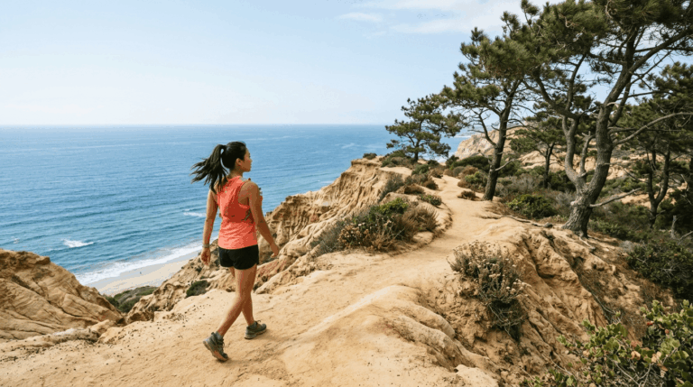
West Cliff Drive runs roughly 2.5 to 3 miles one-way along the bluffs between the Santa Cruz Wharf and Natural Bridges State Beach, and you’re basically never out of sight of another person on it. Surfers watch the break at Steamer Lane, dog walkers use it daily, and joggers treat it as a training loop.
It’s paved and flat the entire way, which also means you can move fast if you want to. For more of what this stretch of coastline offers, our Santa Cruz County coastal trails guide rounds out the picture.
Practical tips: what to know before you go
Free parking exists at multiple points along the route (Pyramid Park and Mitchell’s Cove among them), though spots near the Wharf fill first.
Cell signal is reliable along nearly the entire path. As of early 2026, the city continues monitoring occasional bluff erosion after storm damage; the path itself has stayed open throughout, but check the city’s current advisories before a visit.
Lake Murray (San Diego County)
Why it’s great for solo female hikers: a flat, popular loop with constant visibility to other trail users
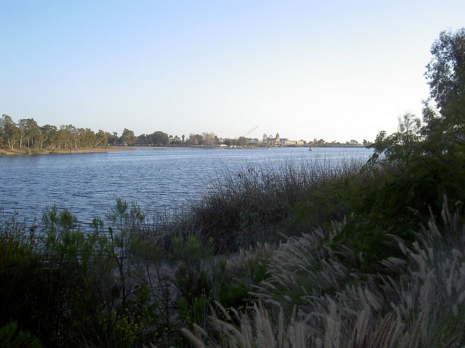
This isn’t actually a loop. You can’t circle the full lake because a dam blocks the route, so the main path is a 5.7-mile out-and-back along the shoreline (there’s a separate, 1.2-mile loop, the Lake Murray East Loop, near the parking area if you want something shorter and still circular).
Either way, this is one of the most heavily used paved paths in San Diego County, popular with runners, cyclists, and birders alike, so you’re rarely walking any stretch of it without company in view.
Practical tips: what to know before you go
Parking is plentiful at the main lot, and restrooms and benches are spaced along the route. Shade is limited, so an early start beats a midday one in summer.
Rubicon Trail, D.L. Bliss to Emerald Bay (El Dorado County)
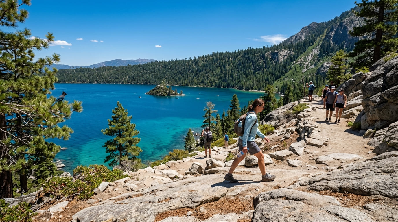
Why it’s great for solo female hikers: one of Lake Tahoe’s most heavily trafficked trails
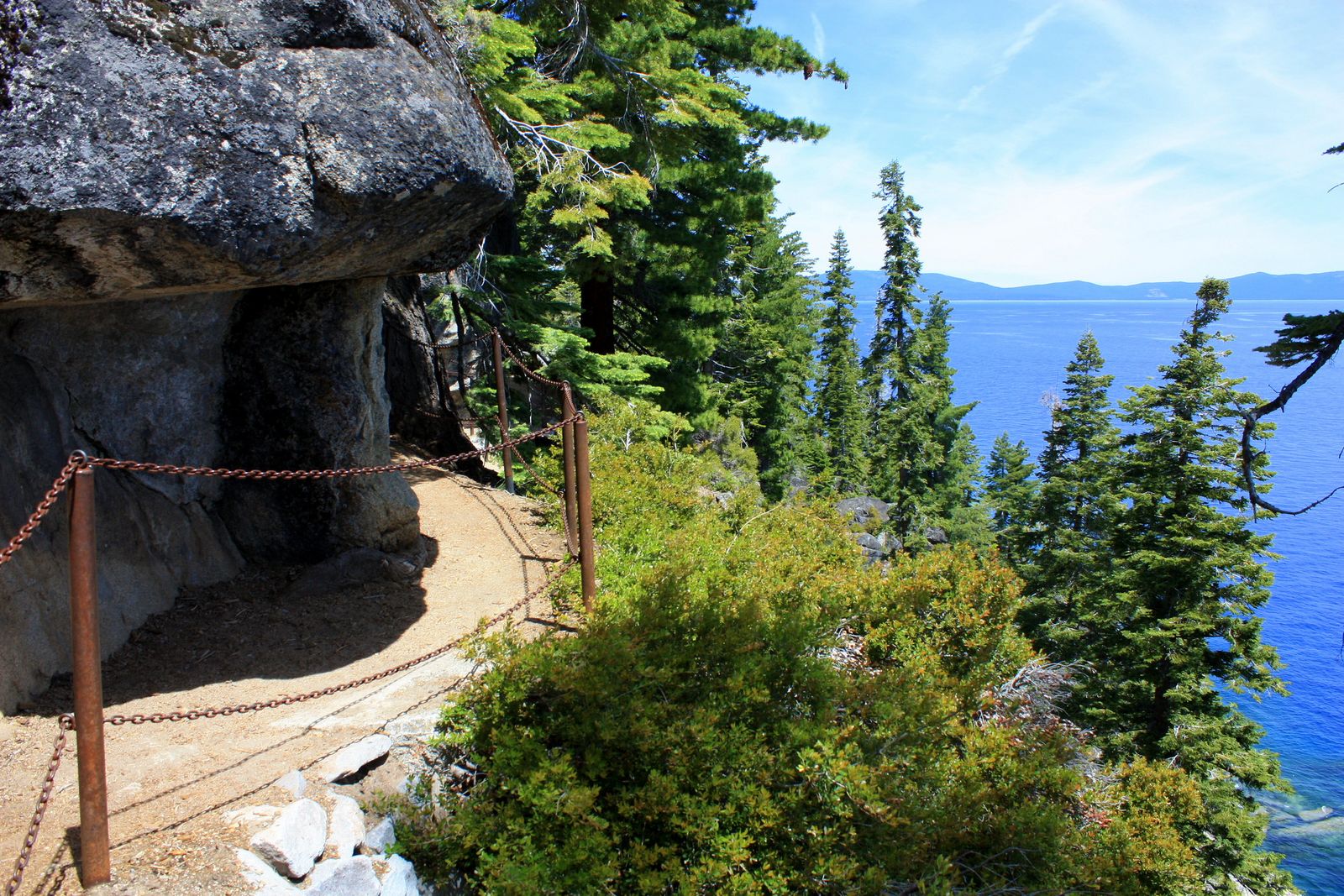
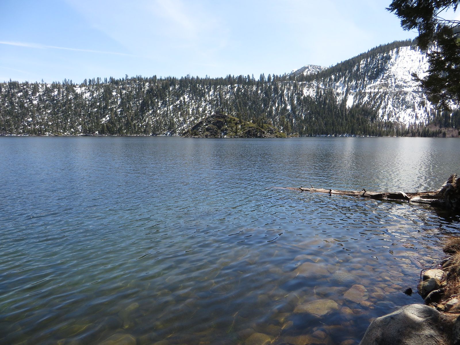
This Rubicon Trail is not the famous 22-mile 4×4 route that shares its name near Georgetown; this is a separate, roughly 5-mile lakeside hiking trail connecting D.L. Bliss State Park and Emerald Bay State Park, and it’s one of the most photographed shorelines in the Sierra.
As of August 2026, D.L. Bliss fully reopened on May 21, 2026, after a three-year closure for waterline replacement, so both trailheads are open again (good news, since the trail draws a steady crowd all summer even on weekdays). Given the popularity, book your visit around our El Dorado County Lake Tahoe trails guide for backup options nearby.
Practical tips: what to know before you go
Parking at both D.L. Bliss and Emerald Bay fills by 9 a.m. on summer weekends; arrive earlier than you think you need to. It’s a $10 per-vehicle day-use fee at D.L. Bliss. The full out-and-back runs about 7.7 miles with roughly 1,060 ft of gain, moderate rather than easy, so this is a solo pick for trail popularity, not trail difficulty.
Cowles Mountain Trail (San Diego County)
Why it’s great for solo female hikers: San Diego’s single most-climbed peak
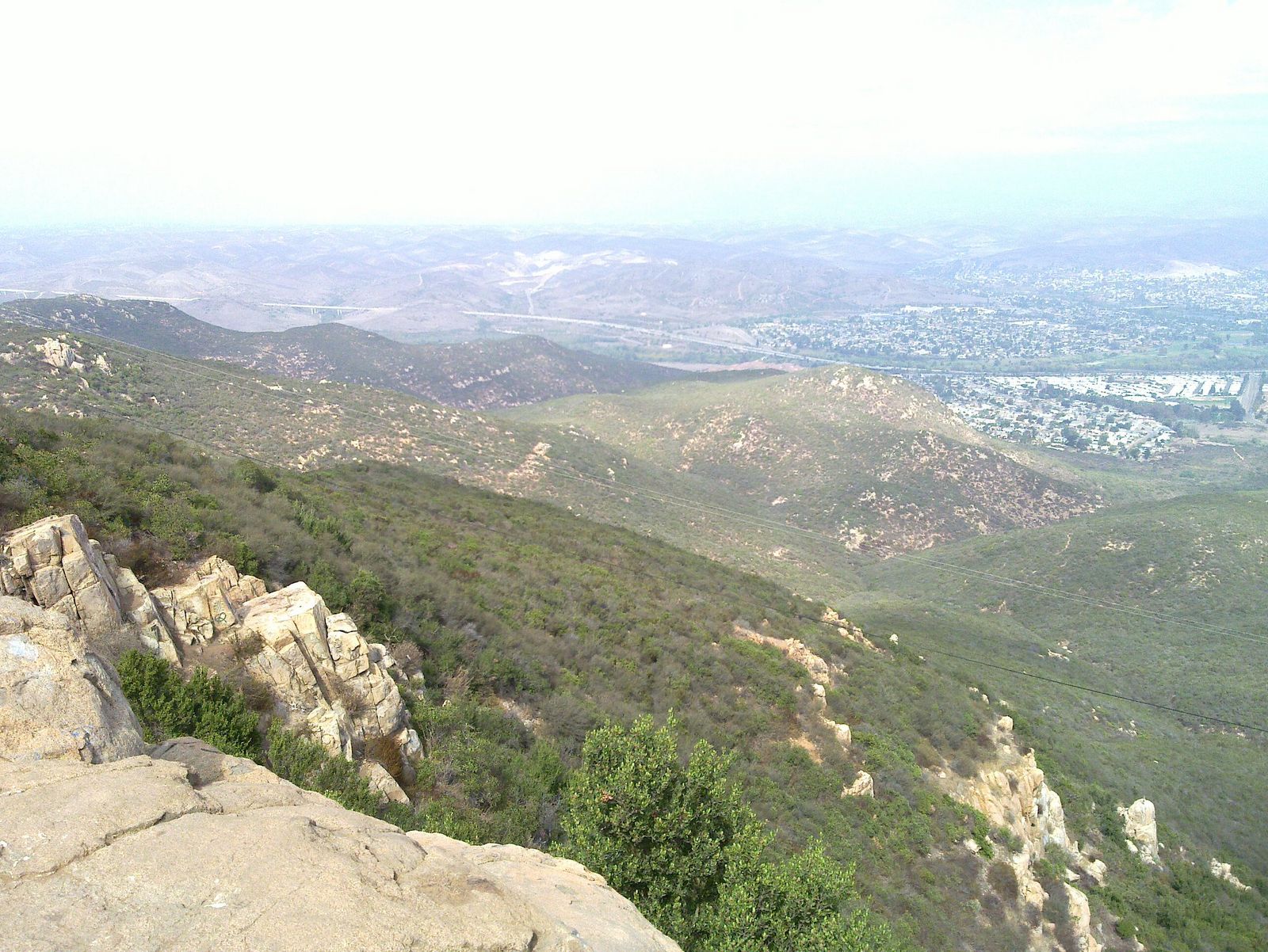
Cowles Mountain is a workout (about 2.9 miles round-trip with 912 ft of gain, moderate and rocky near the summit), but it’s also the busiest hiking trail in San Diego County, popular enough that a solo hiker is rarely alone on it, even well before sunrise. The 360-degree summit view is the reward, but the crowd is the actual safety feature here.
Practical tips: what to know before you go
Parking at the Golfcrest trailhead fills fast; overflow street parking is available on Golfcrest Drive. There’s no shade anywhere on the trail, so bring more water than you think you need, regardless of what time you start.
Big Morongo Canyon Preserve Trail (San Bernardino County)
Why it’s great for solo female hikers: a well-marked boardwalk loop popular with the birding community
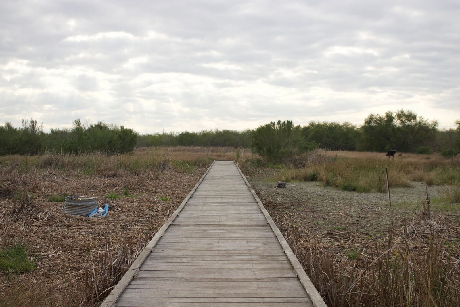
The Marsh Trail at Big Morongo Canyon Preserve is a roughly 0.75-mile, ADA-accessible boardwalk through a cottonwood-and-willow riparian oasis in the high desert, and it draws a steady stream of birders year-round (the preserve has recorded over 247 bird species).
The boardwalk means there’s no route-finding at all, and you’re likely to run into docents or fellow birders even on a quiet weekday. For more of the high desert’s easier trails, our San Bernardino County desert trails guide is worth a look.
Practical tips: what to know before you go
Entry is free, and the trailhead kiosk has maps if you haven’t downloaded one. Stick to the Marsh Trail and Mesquite Trail if you want the flattest, most-visited sections; the longer canyon routes see far fewer people.
Batteries Loop Trail, Marin Headlands (Marin County)
Why it’s great for solo female hikers: short enough to complete without committing to a remote stretch
Batteries Loop Trail (short, near the Headlands’ popular historic gun batteries, safety in numbers), a 0.3-mile loop around a set of century-old coastal fortifications with views of Rodeo Beach and, on clear days, the Farallon Islands. For more of the Headlands’ short, view-driven trails, our Marin Headlands trail guide covers the rest of the area.
Practical tips: what to know before you go
This sits within a cluster of popular Headlands stops, so parking and foot traffic nearby stay steady most of the day. Leashed dogs are allowed. There’s a moderate incline near the trailhead but nothing sustained.
Bayside Trail, Cabrillo National Monument (San Diego County)
Why it’s great for solo female hikers: a ranger-staffed national monument with regular patrols
The Bayside Trail is a 2.5-mile round-trip route through coastal sage scrub, ending at an overlook of Ballast Point in San Diego Bay. What sets it apart for solo hikers isn’t the trail itself so much as where it sits: inside an actively staffed National Park Service site, with a visitor center, fixed operating hours, and regular ranger presence nearby.

Practical tips: what to know before you go
Cabrillo National Monument is open daily 9 a.m. to 4 p.m., and the trail gate closes on that schedule too, so don’t start late. There’s a per-vehicle entrance fee (check the National Park Service’s official Cabrillo fee page for the current rate), no water or restrooms on the trail itself, and dogs aren’t permitted past the visitor center. For more of Point Loma’s coastal walks, see our San Diego County coastal trails guide.
Building a solo-hiking routine
Once you’ve got a few of these under your belt, the next question is what to do if something goes wrong when no one’s nearby: our guide to what to do if you get lost on a California trail covers exactly that. If you haven’t already, our complete guide to hiking safety in California is worth reading before your first solo trip, not after. And if sharing your live location matters to you, our comparison of AllTrails, Gaia GPS, and Komoot breaks down which apps actually make that easy.
My recommendation
If you’re hiking solo for the first time in California, start with West Cliff Drive or Lake Murray. Both are paved, flat, constantly in use, and forgiving if you want to turn back after five minutes. Save Cowles Mountain and the Rubicon Trail for once you’ve got a few solo hikes behind you and know how your body handles elevation without backup.
Frequently asked questions about hiking trails in California for solo female hikers
Is it safe to hike alone in California?
Generally yes, especially on popular, well-marked trails like the ones above. Risk comes mostly from remoteness and poor planning, not from hiking solo itself.
What safety precautions should solo hikers take?
Share your route and expected return time with someone before you go, carry more water than you think you need, and check trail conditions the same day. See the safety guide linked above for the full list.
Should you tell someone your hiking route before going alone?
Yes, every time. Send a text with the trailhead name, your planned turnaround time, and when you expect to be back in cell range.
What trails should solo hikers avoid?
Anything remote, poorly marked, or without cell signal, especially if you haven’t hiked it before. Save those for a group trip instead.
Is it better to hike alone on popular or quiet trails?
Popular, for a first solo hike. A busy trail means help is close by if something goes wrong, and it’s harder to take a wrong turn without noticing.
What time of day is safest for solo hiking?
Daylight hours when the trail is actively in use (often mid-morning on well-trafficked trails like these, rather than pre-dawn or right before closing).