5 Best Hiking Trails in the Marin Headlands, From Golden Gate Bridge Overlooks to a Raptor Migration Hotspot
Cross the Golden Gate Bridge heading north, and the Marin Headlands start almost immediately- former WWII military land that’s now some of the most accessible, most photographed hiking trails in marin headlands in the entire Bay Area. These five trails cover the range: bluff-top bridge views, a globally significant bird migration corridor, a flat family walk to a hidden beach, and preserved coastal artillery batteries.
Disclosure: Please note that some of the links below are affiliate links and at no additional cost to you, I may earn a commission. Know that I only recommend hiking gear I personally stand behind; when you use my affiliate links, it helps me run this blog and keep all of this content free of charge for readers (like you).
Key takeaways
- Best flagship hike: the Coastal Trail, the single most-searched trail entity in Marin County, with genuine Golden Gate Bridge views along most of its length.
- Best short stop: Hawk Hill, under a mile round trip, and one of the best raptor migration viewpoints in North America each fall.
- Best flat family option: Tennessee Valley Trail, a mostly paved, wheelchair-accessible walk to a secluded cove beach.
- Most geologically unique: Rodeo Beach and Rodeo Lagoon Loop, a colorful pebble beach beside a federally protected coastal lagoon.
- Best quiet history stop: Battery to Bluffs (Battery Alexander), preserved WWII gun batteries and spring wildflowers, with almost none of the Coastal Trail’s crowds.
- My rule for all five: check the fog forecast, not just the weather forecast. San Francisco Bay’s marine layer can erase every view on this list even on a technically “sunny” day.
How these five Marin Headlands trails compare
| Trail | Round-trip Distance | Elevation Gain | Difficulty | Best For |
|---|---|---|---|---|
| Coastal Trail | ~3.75–7.5 mi (route-dependent) | ~600 ft | Moderate | Golden Gate Bridge views |
| Hawk Hill | Under 1 mi | ~100–150 ft | Very easy | Fall raptor migration |
| Tennessee Valley Trail | ~3.5–3.7 mi | Minimal | Easy | Flat family walk to a beach |
| Rodeo Beach & Lagoon Loop | ~2 mi | Minimal | Easy | Unique beach, protected lagoon |
| Battery to Bluffs (Battery Alexander) | ~0.5–1.3 mi | ~60–200 ft | Easy | WWII history, spring wildflowers |
Coastal Trail (Marin Headlands)
This is the trail that anchors the whole Headlands, and for good reason, it’s part of a much longer regional trail system, but the Marin Headlands stretch delivers some of the best bridge-and-ocean views in the Bay Area on foot.
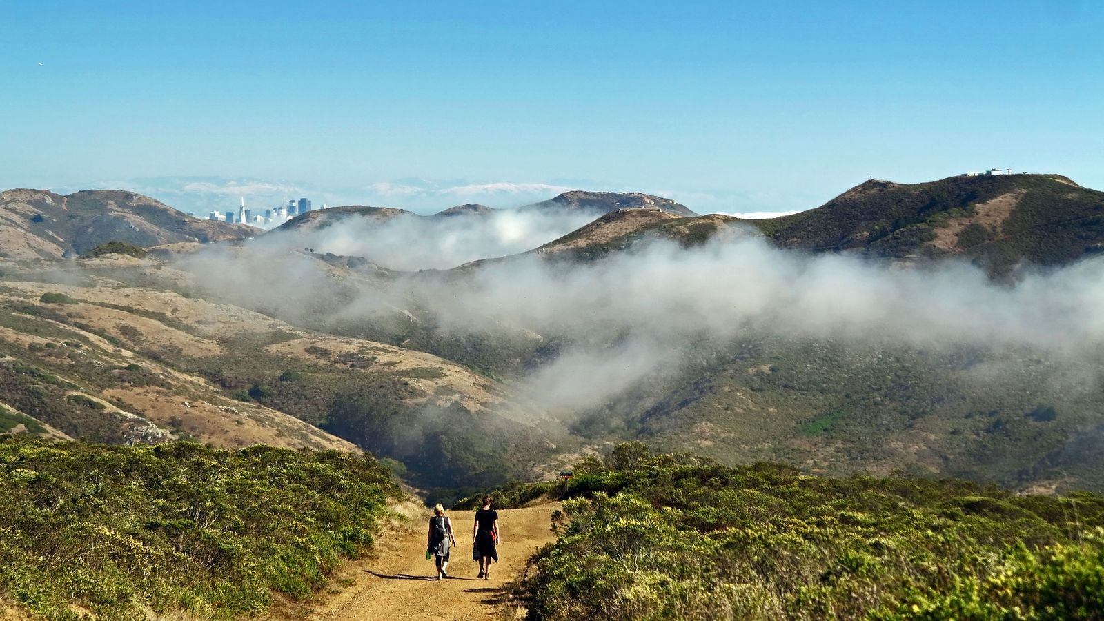
Trailhead access and parking at Fort Barry or Rodeo Beach
Most hikers start either near the Marin Headlands Visitor Center at Fort Barry or from the Rodeo Beach lot at Fort Cronkhite, both have free parking, no fee or reservation required anywhere on this trail. Which end you pick mostly depends on whether you want to end at the historic Point Bonita Lighthouse area or loop back toward Rodeo Lagoon.
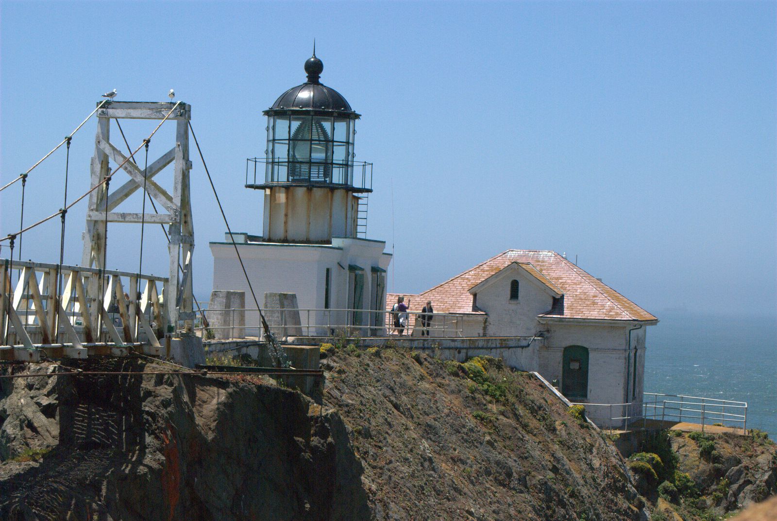
Difficulty, distance and elevation gain along the Coastal Trail
Because this is genuinely one continuous regional trail rather than a single fixed loop, distance depends entirely on your route: a Rodeo Beach-to-Point Bonita out-and-back runs about 3.75 miles, while longer configurations linking multiple trailheads stretch to 6-7.5 miles. Elevation gain over the bluff-top terrain runs around 600 feet for most standard segments, moderate, view-driven, and rarely flat for long.
What you’ll see: Golden Gate Bridge views and Pacific Ocean bluffs
This is genuinely one of the best places to see the Golden Gate Bridge on foot rather than from a car, unobstructed views open up along most of the route, alongside old WWII bunkers, wildflowers in spring, and harbor seals visible on the rocks near Point Bonita on a good day.

Best time to hike the Coastal Trail: clear days beat the marine layer
Fog is the real variable here, not temperature, San Francisco Bay’s summer marine layer can roll in and erase the entire bridge view even on a warm afternoon, while fall and early winter often deliver the clearest, most dramatic light. Check the actual fog forecast, not just the general weather forecast, before you drive out; our guide to California trail weather hazards covers fog and other regional conditions worth planning around.
Hawk Hill Trail
If you only have twenty minutes in the Headlands, spend them here, Hawk Hill is short enough to feel like an afterthought and significant enough to be one of the best raptor-watching spots in the country.
Trailhead access and parking at the Hawk Hill overlook, Conzelman Road
Park at the main lot near the top of Conzelman Road, right before the road becomes one-way, it’s free, but genuinely tight on fall weekends and during peak migration, when it can fill before 10 a.m. One practical note: car break-ins have been reported at the scenic pullouts along Conzelman Road, so don’t leave anything visible inside.
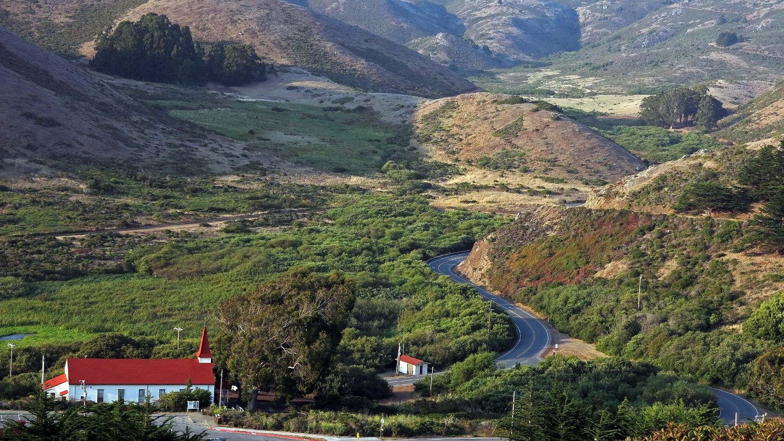
Difficulty, distance and elevation gain to Hawk Hill’s summit
This is the easiest trail in this entire guide: under a mile round trip on a paved path, gaining roughly 100 to 150 feet from the parking lot to the summit. Most visitors are up and back in 20-30 minutes.
What you’ll see: one of the best raptor migration viewpoints in North America
As many as 19 different raptor species pass through here each fall, hawks, falcons, kites, and the occasional golden eagle, riding the updrafts where the Headlands meet the Golden Gate. The Golden Gate Raptor Observatory tracks and bands birds here through the season, and the endangered Mission Blue butterfly also calls this specific hillside home.
Best time to hike Hawk Hill: fall raptor migration season
Peak migration runs roughly September through November, with the best viewing on fog-free days between 10 a.m. and 2 p.m. Outside that window, it’s still a great short bridge-view stop, just without the birds circling overhead.
Tennessee Valley Trail
This is the trail I send anyone traveling with kids, strollers, or anyone who just wants a flat walk that still ends somewhere genuinely beautiful.
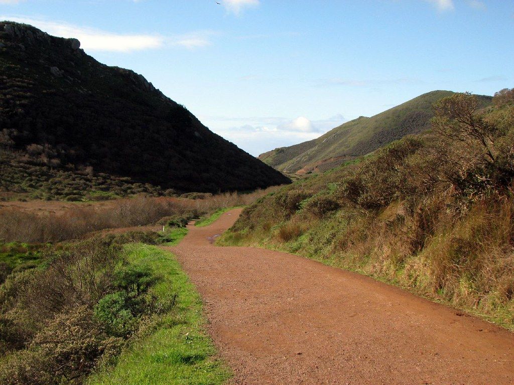
Trailhead access and parking at the Tennessee Valley trailhead, Mill Valley
The trailhead lot off Tennessee Valley Road has restrooms and accessible parking, but fills by 9 a.m. on weekends, street parking nearby is the fallback once it does. It’s free, with no reservation needed.
Difficulty, distance and elevation gain to Tennessee Beach
The trail runs about 1.7 to 1.85 miles one way (roughly 3.5 to 3.7 miles round trip) and stays largely flat and mostly paved for the first stretch, making it one of the easiest, most accessible trails in this entire Marin batch, much of it is wheelchair-friendly.
What you’ll see: a flat valley walk ending at a secluded cove beach
The trail opens onto Tennessee Beach, a pocket cove framed by cliffs on both sides, with the wreck of the SS Tennessee (an 1853 steamship) sometimes visible above water at low tide. One important correction to make clearly: swimming here is not recommended, currents and surf are genuinely hazardous, despite how calm the cove can look.

Best time to hike Tennessee Valley: a reliable family option year-round
Because the grade is so gentle and much of the surface is paved, this is one of the few trails in this guide that works nearly any time of year, rain or shine. Spring adds wildflowers to the valley walls; if that’s your main draw, Battery to Bluffs later in this guide is worth pairing with it on the same trip.
Rodeo Beach & Rodeo Lagoon Loop Trail
I want to correct something about this trail before anything else: it’s often described online as a “black-sand beach,” and it isn’t, quite, what you’ll actually find is a beach of colorful pebbles and coarse, dark sand, not true volcanic black sand.
Trailhead access and parking at Rodeo Beach, Fort Cronkhite
The Rodeo Beach lot at Fort Cronkhite is free, with restrooms, a water-bottle filling station, and a surfer shower at the north end, genuinely the best-equipped trailhead in this guide. It’s also the busiest on weekends, with overflow parking near the Marine Mammal Center once the main lot fills.
Difficulty, distance and elevation gain on the Rodeo Lagoon Loop
The loop around the lagoon runs about 2 miles with minimal elevation gain, flat, easy walking the entire way, comparable in difficulty to Tennessee Valley but centered on a lagoon rather than a beach approach.
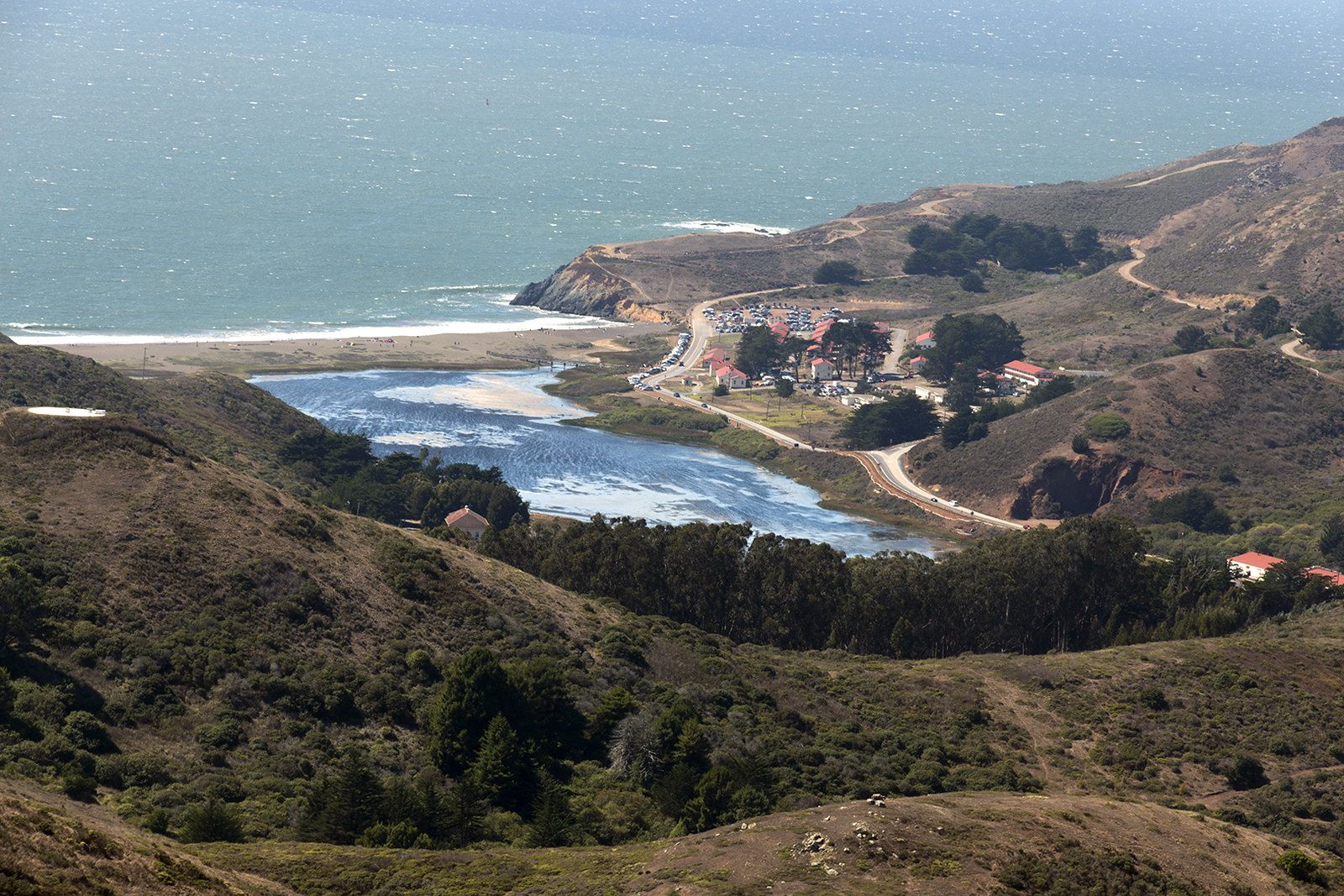
What you’ll see: colorful pebble sands and a protected coastal lagoon
Rodeo Beach’s pebbles include jasper, carnelian, black agate, and jade (look, don’t collect), while Rodeo Lagoon itself is a federally protected brackish wetland supporting herons, egrets, and several endangered species. If coastal scenery like this is what draws you to Marin, our Marin coastline trails guide covers more of the county’s beach-and-bluff hikes outside the Headlands specifically.
Best time to hike Rodeo Beach: any season, but watch for high surf
This trail works year-round, but the safety consideration here is different from the fog timing elsewhere in this guide: swimming in the lagoon is prohibited outright to protect endangered species, and ocean currents at the beach itself are genuinely intense enough that the park’s own guidance is to enter the water at your own discretion, not to plan on swimming.
Battery to Bluffs Trail (Battery Alexander, Marin Headlands)
Quick disambiguation before anything else: there’s a well-known trail with a nearly identical name, “Batteries to Bluffs Trail”, in San Francisco’s Presidio near Baker Beach. That’s a different trail in a different city. This guide covers the Marin Headlands version, starting at Battery Alexander near Fort Barry.
Trailhead access and parking at Battery Alexander, Fort Barry
Battery Alexander has its own small trailhead lot with two ADA-accessible spots and a vault toilet, the quietest parking situation of any trail in this guide relative to how good the payoff is.
Difficulty, distance and elevation gain on the Battery to Bluffs Trail
The core Batteries Loop Trail itself is a short 0.5 miles with about 60 feet of gain; extending onto the adjoining coastal bluff trail toward the Rodeo Beach overlook stretches that closer to 1.3 miles with up to 200 feet of gain. Either version is easy, short, and genuinely worth doing even if you only have 20 minutes.
What you’ll see: WWII-era coastal defense batteries and wildflower bluffs
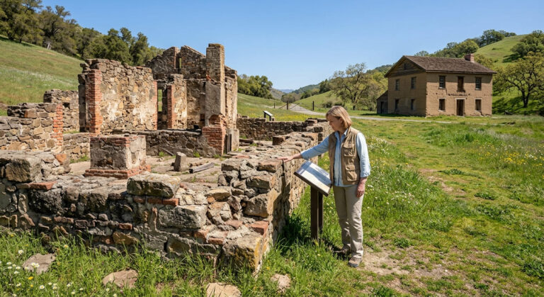
The trail threads through Battery Smith-Guthrie, Battery O’Rorke, and Battery Alexander itself, preserved gun emplacements built around 1900 and expanded through WWII to defend San Francisco Bay, with sweeping Pacific views and, on exceptionally clear days, the Farallon Islands roughly 30 miles offshore.
Best time to hike Battery to Bluffs: spring wildflowers
Spring brings poppies, lupine, and sticky monkeyflower across these bluffs, adding real color to a trail that’s already worth it for the history and the views alone.
The bottom line
Start with the Coastal Trail for the classic Golden Gate Bridge payoff, then add Hawk Hill as a quick twenty-minute stop on the same drive; they’re close enough to easily combine. Tennessee Valley and Rodeo Beach are the two easiest, most family-friendly options if a flat walk matters more than a view, and Battery to Bluffs is the one to save for when you want history and wildflowers without any crowds. This guide is part of our full Marin County hiking guide, alongside our Muir Woods and Point Reyes guide if you’re planning a longer Marin trip beyond just the Headlands. For specific peninsula itineraries, check out our dedicated Point Reyes hiking paths.
Frequently asked questions about hiking trails in the Marin Headlands
What is the best hike in the Marin Headlands?
The Coastal Trail is the flagship pick for Golden Gate Bridge views, but Hawk Hill is the best choice if you only have twenty minutes, and Tennessee Valley is the best pick for an easy, flat family walk.
Is Hawk Hill a good spot to see the Golden Gate Bridge?
Yes, it’s one of the best elevated, walk-up bridge viewpoints in the Headlands, with a genuine drone-style angle over the Golden Gate from just a short, paved walk above the parking lot.
Is Tennessee Valley Trail good for beginners?
Yes, it’s one of the most beginner-friendly trails in this entire guide, mostly flat, largely paved, and manageable for most fitness levels, including strollers on much of the route.
Is Rodeo Beach safe to swim at?
Not recommended. Swimming in Rodeo Lagoon is prohibited to protect endangered species, and ocean currents at the beach itself are genuinely strong enough that official guidance is to enter at your own risk rather than treat it as a swimming beach.
Are dogs allowed in the Marin Headlands?
Generally yes, on leash, at trails like Hawk Hill, Rodeo Beach, and Battery to Bluffs, but rules vary by specific trail, and dogs are not permitted on the trail to Point Bonita Lighthouse.
Is parking free in the Marin Headlands?
Yes, at all five trails in this guide, there’s no day-use fee or parking fee anywhere in the Marin Headlands portion of the Golden Gate National Recreation Area, unlike some other Marin destinations covered elsewhere in this county.