5 Best Hiking Trails in San Jose and the South Bay, Santa Clara County
Hiking Trails in San Jose’s parks cover a genuinely wide range for a single metro area, a former mercury mine, the Bay Area’s most-visited open space preserve, California’s oldest municipal park, a rare wildflower preserve, and a lake with paddle boat rentals. These five stay close to the valley floor, easy to reach from anywhere in the South Bay without a mountain drive; if you want to make a short trip into Alameda County for a serious workout, our favorite Fremont summit hike makes an incredible weekend objective. For the range trails on either side of the county, see our Santa Clara Foothills guide. This guide is part of our full Santa Clara County hiking guide.
Disclosure: Please note that some of the links below are affiliate links and at no additional cost to you, I may earn a commission. Know that I only recommend hiking gear I personally stand behind; when you use my affiliate links, it helps me run this blog and keep all of this content free of charge for readers (like you).
Key takeaways
- Best history hike: Almaden Quicksilver County Park, a former 19th-century mercury mining district, once the second-largest such mine in the world.
- Most popular, arrive early: Rancho San Antonio, a working farm and open space preserve that fills its lots most weekend mornings.
- Oldest park in this guide, by a wide margin: Alum Rock Park, California’s oldest municipal park, founded in 1872.
- Rarest ecosystem: Coyote Ridge, a serpentine-grassland preserve with a real access requirement worth knowing before you go, and access rules can shift seasonally, so confirm what’s currently required for your visit date.
- Most amenity-rich: Vasona Lake County Park, a flat lake loop with paddle boat rentals and a playground.
- All five are free to enter, though a couple have small parking or facility fees, check each section below.
How these five South Bay trails compare
| Trail | Distance | Difficulty | Fee | Best for |
|---|---|---|---|---|
| Almaden Quicksilver (New Almaden Trail) | 14 mi end-to-end (2–6 mi options) | Moderate | Free | Mining history |
| Rancho San Antonio (Deer Hollow Farm) | ~3 mi loop | Easy | Free | Working farm, deer |
| Alum Rock Park (Creek Trail) | Up to 13 mi of trails (adjustable) | Easy-moderate | Free entry | Shaded creek, history |
| Coyote Ridge | Up to 5 mi | Moderate | Free (permit required) | Rare wildflowers |
| Vasona Lake | ~2 mi loop | Easy | Free entry | Families, paddle boats |
Almaden Quicksilver County Park: New Almaden Trail
Trailhead access and parking at the Hacienda or Mockingbird Hill entrance
Both entrances are free county park lots into one of the largest county parks in the Bay Area, at more than 4,000 acres. The New Almaden Trail itself stretches about 14 miles end-to-end, though shorter 2-to-6-mile out-and-back or loop options are popular for a quicker visit, no potable water exists in the park except at these two entrances.
What you’ll see: historic mercury mining ruins and rolling grassland
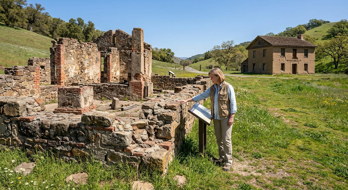
New Almaden was the second-largest mercury mine in the world in its day (after its Spanish namesake), and more valuable than any single California gold mine, remnants of mine structures, sealed shafts, and the historic Hacienda Reduction Works are scattered across open oak-and-grassland hills, with the San Cristobal mine visible from behind a locked gate near the Hacienda entrance. The on-site mining museum, housed in the 1854 Casa Grande manor, keeps limited hours (Friday-Sunday, noon-4 p.m.).
Best time to hike New Almaden Trail: spring for wildflowers, cooler temps
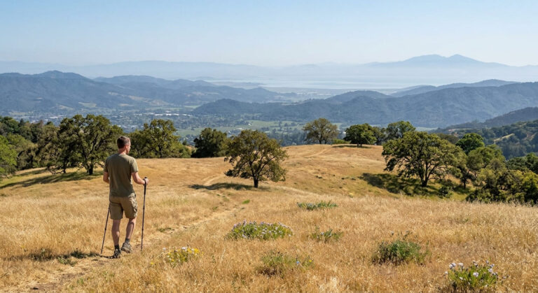
Spring brings wildflowers across the open grassland and noticeably more comfortable temperatures than the exposed, shade-free summer months, this park gets genuinely hot by midday from June through September.
Rancho San Antonio County Park: Deer Hollow Farm Trail
Trailhead access and parking at Rancho San Antonio (free, fills fast)
Free parking across six lots (300-plus spaces) opens at 8 a.m., and weekend lots routinely fill before 8:30. Arrive early, or use the pedestrian entrance near Los Altos if the main lots are full.
What you’ll see: a working farm and grazing wildlife
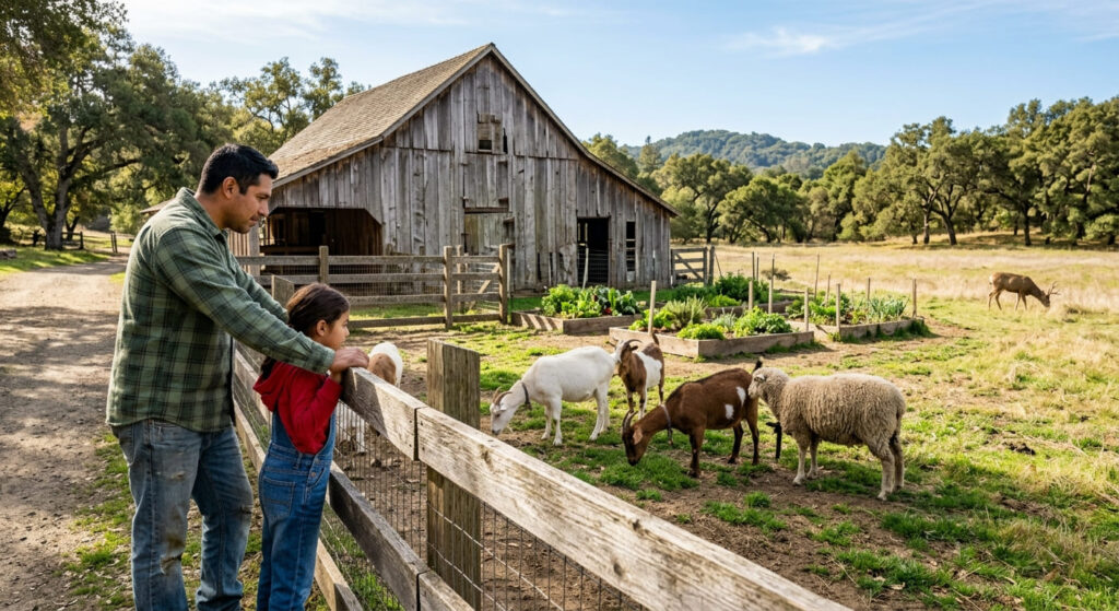
Deer Hollow Farm is a genuine 160-year-old working homestead with livestock, a volunteer-run garden, and self-guided tours (closed Mondays), reached via an easy roughly 3-mile loop through meadow and oak woodland, deer sightings along the way are common, and it’s one of the most heavily visited open space preserves in the Bay Area.
Best time to hike Deer Hollow Farm: weekday mornings, this preserve fills up fast
Weekday mornings are genuinely the only reliable way to avoid a packed parking lot here; weekend visits after 9 a.m. routinely mean circling for a spot or turning around entirely.
Alum Rock Park: Creek Trail
Trailhead access and parking at Alum Rock Park (California’s oldest municipal park)
Founded in 1872, Alum Rock is California’s oldest municipal park, not just San Jose’s, a City-run park with free entry (parking fees can apply seasonally, so check current signage). One current note: the dedicated Mineral Springs Trail is closed due to erosion, though the historic springs grottos are still visible from the nearby trail system in Penitencia Creek Park and Trail.
What you’ll see: historic mineral springs along Penitencia Creek
From 1890 to 1932, this canyon was a nationally known health resort with 27 mineral springs, an indoor pool, a tea garden, and its own dedicated railway from downtown San Jose that cost a quarter to ride, stone grottos and railway remnants still line the year-round creek across the park’s 13 miles of trails, with black-tailed deer, red-tailed hawks, and turkey vultures among the wildlife regularly spotted along the canyon.
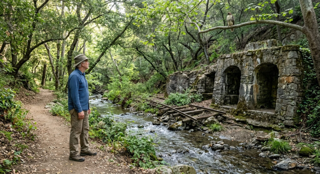
Best time to hike Alum Rock Creek Trail: shaded relief from South Bay summer heat
The canyon’s consistent shade makes this one of the more comfortable South Bay options in peak summer, when Almaden Quicksilver and Coyote Ridge both get genuinely exposed and hot.
Coyote Ridge
A quick correction before anything else: this trail isn’t part of Coyote Valley Open Space Preserve, a separate, older preserve near Morgan Hill with its own Arrowhead Loop Trail. Coyote Ridge (formally Máyyan ‘Ooyákma – Coyote Ridge Open Space Preserve) is a distinct, newer preserve nearer San Jose, and it has its own access rules worth knowing.
Trailhead access and parking at Máyyan ‘Ooyákma – Coyote Ridge Open Space Preserve
Parking is free, but a free “Butterfly Pass” permit is required to hike inside the preserve’s Habitat Protection Area, and the trail is closed Mondays and Tuesdays, genuinely different rules than any other trail in this guide.
Parking is free, but a free “Butterfly Pass” permit is required to hike inside the preserve’s Habitat Protection Area, and the trail is closed Mondays and Tuesdays. One more wrinkle: during peak wildflower season (roughly March through May), weekend access to the Habitat Protection Area has at times been limited to reserved, docent-led hikes rather than self-guided Butterfly Pass entry. Check the preserve’s current operations calendar before you go, especially if you’re planning a spring weekend visit.
What you’ll see: rare serpentine grassland and wildflowers
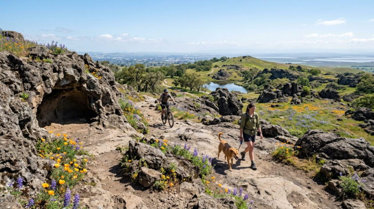
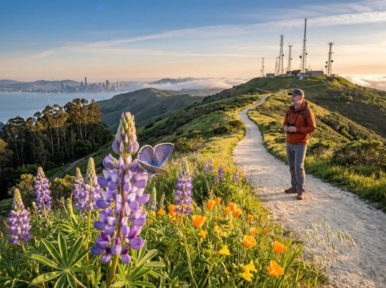
This is a real biodiversity hotspot, rare serpentine soil supports specialized wildflowers and the endangered Bay checkerspot butterfly across up to 5 miles of trail, with almost no shade anywhere along the route.
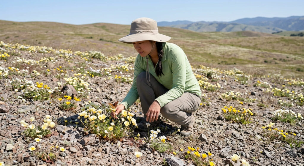
Best time to hike Coyote Ridge: spring for the preserve’s rare wildflower bloom
Spring is genuinely the only time to see this preserve’s signature wildflower bloom, and cooler temperatures make the shade-free terrain far more comfortable than a summer visit. Just confirm ahead of time whether your visit date requires a reserved docent-led tour or allows self-guided Butterfly Pass access, spring weekends specifically have sometimes required a reservation.
Vasona Lake County Park Trail
Trailhead access and parking at Vasona Lake County Park, Los Gatos
A county park lot ($6 vehicle parking fee) in Los Gatos serves the most developed, amenity-rich trailhead in this entire guide, restrooms, picnic areas, and a playground are all on site.
What you’ll see: a family-friendly lake loop with paddle boat rentals
The flat, roughly 2-mile loop circles the lake past paddle boat rentals and open lawns, genuinely the most recreation-focused entry in this guide.

Best time to hike Vasona Lake: any season, a reliable, flat option
Low elevation and a fully developed, flat surface make this comfortable nearly year-round, rain or shine, unlike the more exposed hillside trails elsewhere in this guide.
Frequently asked questions about hiking trails in San Jose and the South Bay
Where are good hiking trails in San Jose, CA?
Almaden Quicksilver and Alum Rock Park are two established options inside San Jose city limits, while nearby Rancho San Antonio (in Cupertino) rounds out the top South Bay spots. mining history, old-growth city park, and working farm, respectively.
How many hiking trails are in Vasona Lake Park?
The park centers on one main lake loop of about 2 miles, with a few shorter connecting paths, it’s a small, focused park rather than a sprawling trail network.
Is Rancho San Antonio parking hard to find?
Yes, genuinely, weekend lots fill soon after the 8 a.m. gate opening. Weekday mornings are your best bet for reliable parking.
Is Alum Rock Park San Jose’s oldest park?
It’s more than that, Alum Rock is California’s oldest municipal park, founded in 1872, predating every other park in this guide by decades.
Is there a fee at Almaden Quicksilver County Park?
No, both main entrances (Hacienda and Mockingbird Hill) are free. The on-site mining museum charges a suggested $2 donation, separate from trail access.
Which San Jose trail is best for beginners?
Vasona Lake, without much competition, it’s flat, fully developed, and short. For more easy starting points across the state, see our beginner hiking trails guide.