Penitencia Creek & Alum Rock Hiking Guide
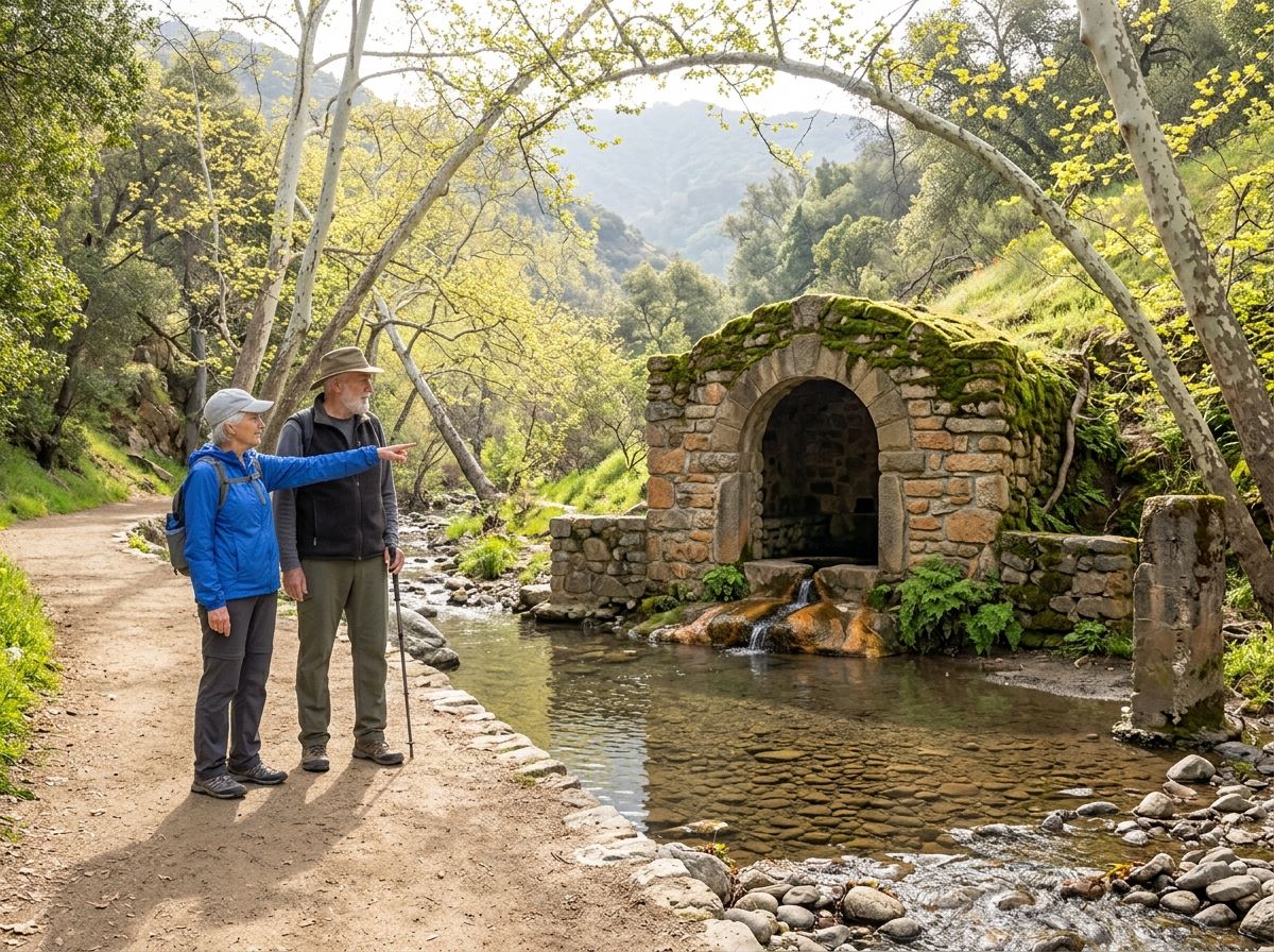
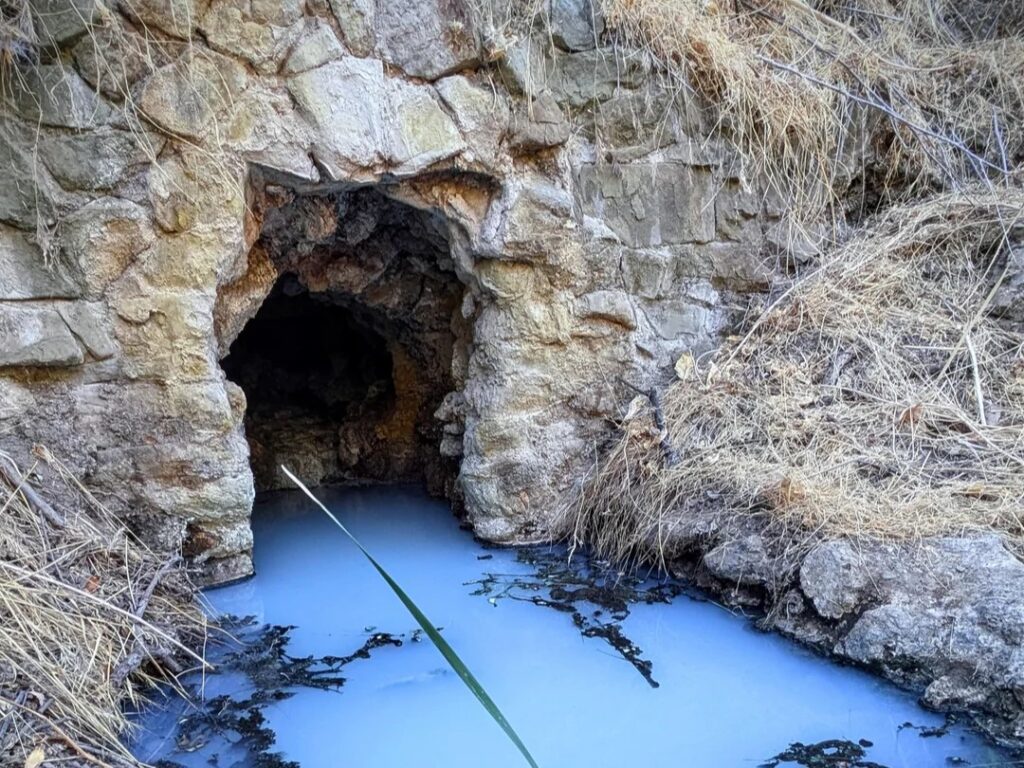
For a few decades around the turn of the twentieth century, San Joseans paid a quarter to ride a steam train up a canyon to drink from mineral springs. From 1890 to 1932, the canyon was a nationally known health spa, with 27 springs, an indoor swimming pool, a tea garden, a restaurant, and a dance pavilion. The train is gone, and the spa is long past, but the creek that fed it is still running, and some of the stone grottos built around the springs remain along the trails of Penitencia Creek Park and Alum Rock Park.
Disclosure: Please note that some of the links below are affiliate links and at no additional cost to you, I may earn a commission. Know that I only recommend hiking gear I personally stand behind; when you use my affiliate links, it helps me run this blog and keep all of this content free of charge for readers (like you).
That creek is Penitencia Creek, and it ties together two parks that people often mix up. Penitencia Creek Park, officially Penitencia Creek County Park, is a 163-acre linear park and regional trail run by Santa Clara County Parks. It follows the creek about four miles from the 720-acre Alum Rock Park, run by the City of San José, down to where Penitencia Creek meets Coyote Creek.
Alum Rock Park holds the canyon hiking and the history; the county trail carries the same creek through the neighborhoods below. This guide covers both in the order you’ll ask your questions: which park is which, where to park, what’s closed, and which trail fits your day. It’s one of the anchor parks in our Santa Clara County hiking trails guide.
Key Takeaways
- Two parks, two agencies: Alum Rock Park is a City of San José park at 15350 Penitencia Creek Road, San José, CA 95127. Penitencia Creek County Park is a Santa Clara County park whose main entrance is at Mabury Road and Jackson Avenue, San José, CA 95112.
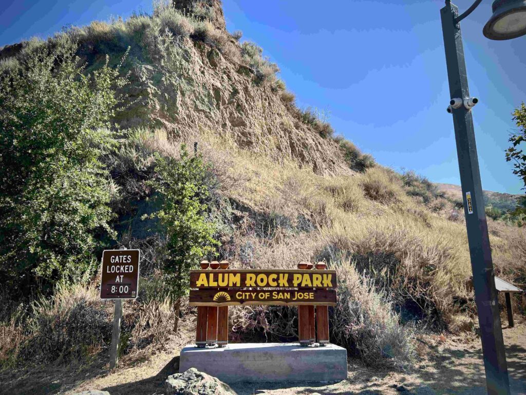
- Hours: Alum Rock Park runs from 8 a.m. to half an hour after sunset. The county park is open 8 a.m. until sunset, and its trails open at sunrise.
- Cost: The county park has no entrance fee. Alum Rock Park lists $6 parking in its lots and $10 on holidays.
- Closures: The City lists the Penitencia Creek Trail as closed at the Trestle Bridge portion, with a detour on the park road, and the Mineral Springs Trail as closed for erosion. Vehicle access on Penitencia Creek Road is still limited by metered lights while storm damage is repaired.
- Easiest hike: The Penitencia Creek Trail through Alum Rock Park, about 3.5 miles round trip with roughly 255 feet of gain.
- Dogs: Not allowed in Alum Rock Park, which the City treats as a protected wildlife sanctuary. Leashed dogs are allowed in the county park.
What Is Penitencia Creek Park, and How Does It Connect to Alum Rock Park?
Think of Penitencia Creek as the thread. Search for Penitencia Creek Park San Jose, CA, and you’ll find the county’s trail corridor, while Alum Rock Park is the canyon at its upstream end.
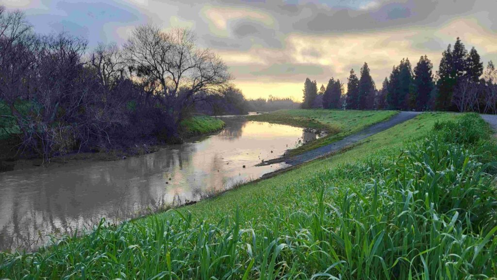
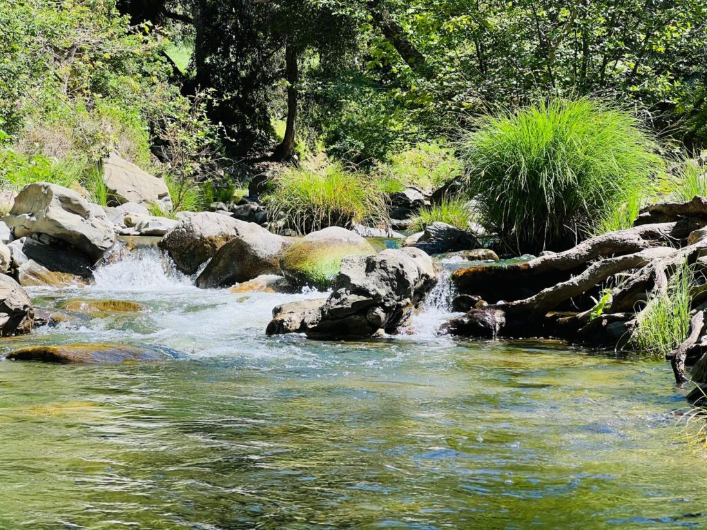
The creek flows out of the Diablo Range foothills, runs through Alum Rock Park’s steep east-west canyon, and then flows west through the Berryessa and Alum Rock neighborhoods of San José until it joins Coyote Creek near Berryessa Road. What local maps call Penitencia Creek is properly Upper Penitencia Creek, because it no longer connects to Lower Penitencia Creek in Milpitas.
Penitencia Creek County Park is the part of that corridor that Santa Clara County Parks manages, as one section of a parkway owned and operated by several agencies, including the City and the Santa Clara Valley Water District.
The paved trail is mostly continuous from White and Piedmont Roads to the Jackson and Mabury area, with on-street crossings at Capitol Avenue and Jackson Avenue.
It’s suitable for hikers, bicyclists, and skaters. The trail is still incomplete: between Alum Rock Park and Noble Avenue, users travel along the road shoulder, and the stretch from Jackson and Mabury to Coyote Creek is mostly undeveloped.
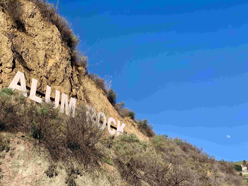
Alum Rock Park, founded in 1872, is one of California’s oldest municipal parks. Its name is a case of mistaken identity: the thenardite-bearing rocks near the canyon entrance were once thought to be alum.
The City counts about 13 miles of trails inside the park, including six miles of horse trails and three miles of bicycle trails, and hikers are welcome on all of them.
Alum Rock Park, Penitencia Creek Road, San Jose, CA: Directions, Parking and Fees
Alum Rock Park’s vehicle entrance is on Penitencia Creek Road, and that’s the only way in by car. Be careful with phone maps: some route you to a closed gate. Once inside, Penitencia Creek Road runs about two miles up the canyon at a 20 mph speed limit.
The City’s parking lots charge $6 on regular days and $10 on holidays, according to Visit San José, so bring a card or cash and display your pass on the windshield.
Access is the part to check before you leave. In March 2026, the City’s parks department installed metered lights on Penitencia Creek Road to manage traffic while crews work on road damage left by the 2023 atmospheric river storms.
A separate City notice says the park can be temporarily closed to public vehicles for metered-light maintenance, with the first parking lot at the entrance staying open and bicyclists and pedestrians still allowed in. For current conditions, check the City of San José’s Alum Rock Park page or call the park rangers at (408) 259-5477.
For Penitencia Creek Park’s San Jose’s County section, the main entrance is at Mabury Road and Jackson Avenue. There’s no entrance fee; the park is open year-round from 8 a.m. until sunset, and the trails open at sunrise. For trail closure updates, Santa Clara County Parks’ Penitencia Creek page lists a trail hotline: call (408) 355-2200 and press 36.
Alum Rock Closures and Conditions
As of the City’s current notice, two trails are closed. The Penitencia Creek Trail is closed at the Trestle Bridge portion because of current conditions, and hikers should use the park road to pass underneath the bridge. The Mineral Springs Trail is closed due to erosion, though the historic mineral springs grottos can still be seen from the nearby Penitencia Creek Trail.
An older City notice also closed the South Rim Switchbacks in 2019 over concerns about a retaining wall, and published trail guides from 2025 describe the South Rim Trail as walkable, so confirm its status with the rangers.
The City also warns that Santa Clara County Open Space Authority trails beyond the park, which Alum Rock Park’s trails connect to, close occasionally in bad weather. See our guide to California hiking trail closures for how to check before you drive.
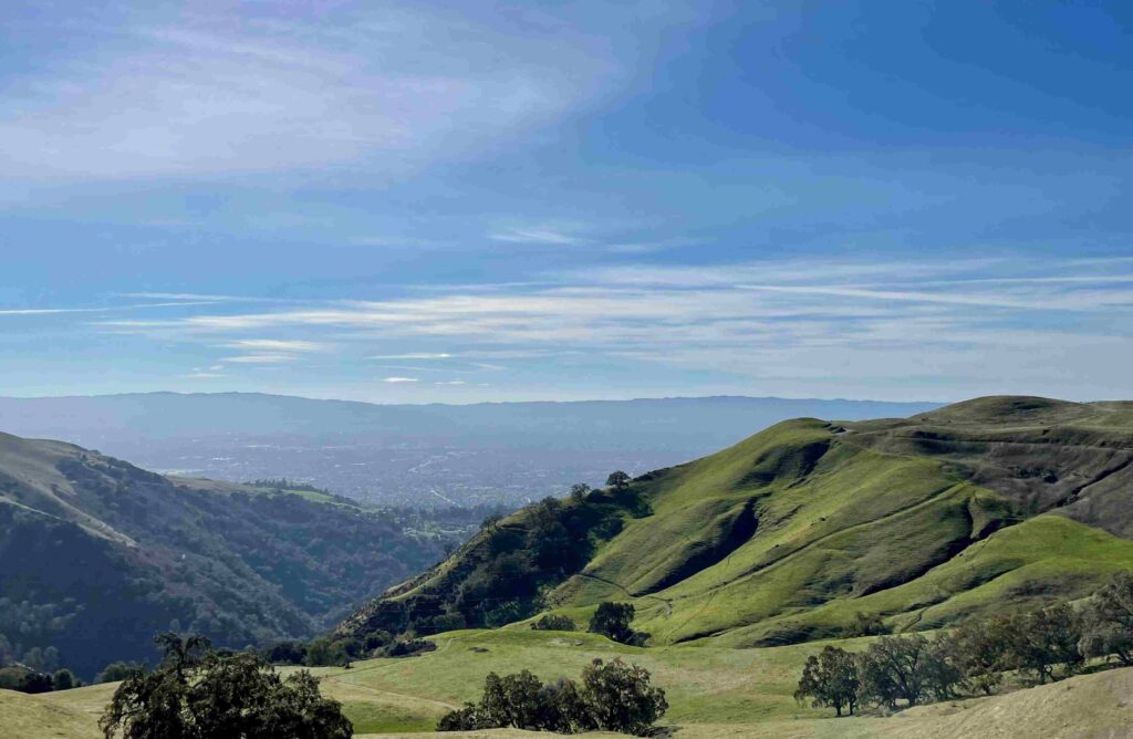
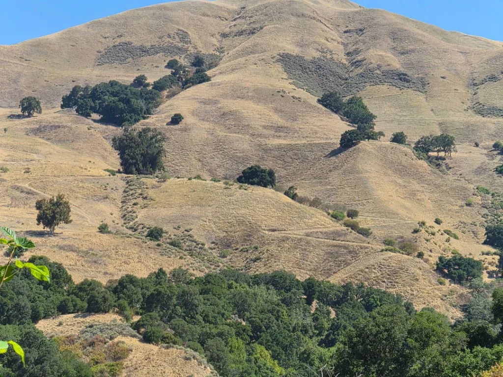
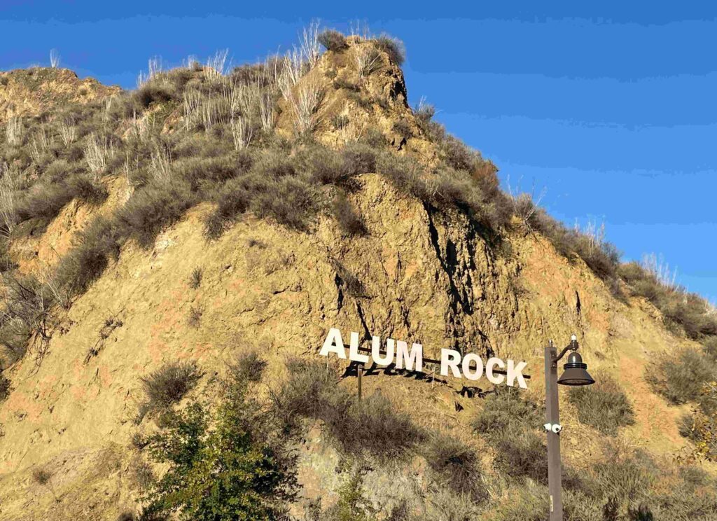
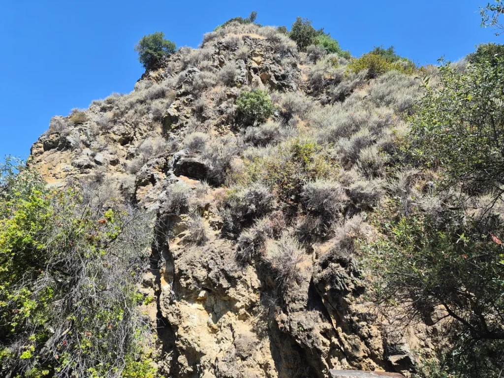
Best Hiking Trails: The Penitencia Creek Trail and Alum Rock Park Loops
Trail apps and guides vary on mileage here, so treat these as published figures.
| Route | Distance | Level | Starts at |
|---|---|---|---|
| Penitencia Creek Trail (Alum Rock) | About 3.5 mi round trip, ~255 ft | Easy | Alum Rock main entrance area |
| Penitencia Creek & North Rim Loop | About 3.6 mi, ~449 ft | Moderate | Alum Rock main entrance area |
| South Rim Trail loop | About 3.5–4.2 mi, ~580–705 ft | Moderate | Mineral Springs area |
| Penitencia Creek County Park trail | Up to about 4 mi of parkway | Easy | Mabury Road and Jackson Avenue |
Penitencia Creek Trail: The Creek Walk Through the Canyon
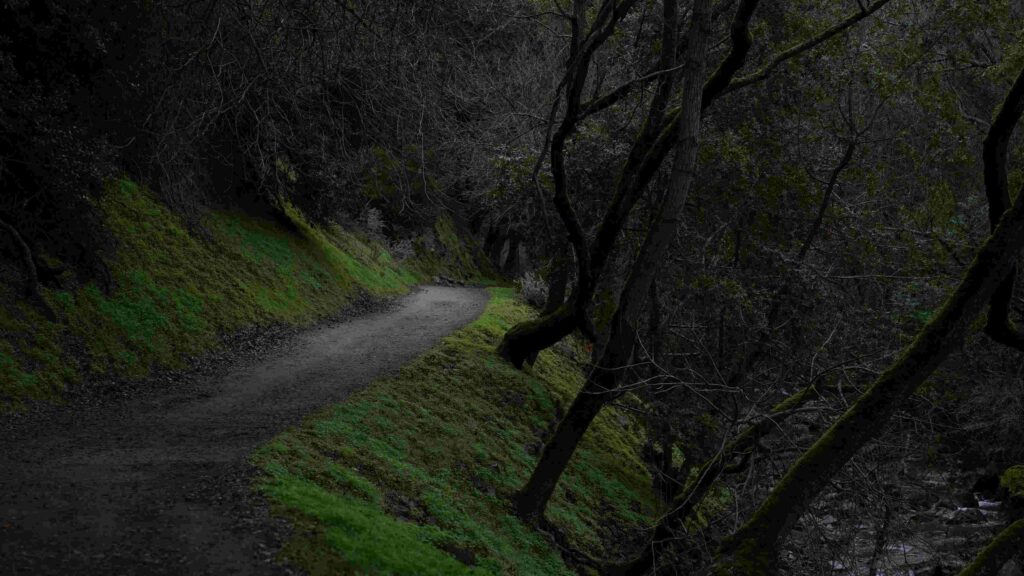
If you only pick one trail, make it the Penitencia Creek Trail. The trail’s published description calls it a scenic walk of about 2.5 miles through the shaded canyon floor. It runs from the park entrance along the creek, through the main area of the park, and on to No Horse Bridge, where it meets the South Rim switchbacks.
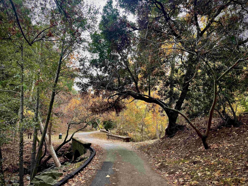
Published out-and-back versions run about 3.5 miles with roughly 255 feet of gain. It’s mostly flat, with picnic areas, restrooms, and playground stops along the valley floor, which makes it the family option. Along the way, you’ll pass remnants of the old railroad bridges and stone grottos, and the creek is lined with bigleaf maple, white alder, and western sycamore.
Penitencia Creek and North Rim Loop
For a moderate half-day, this loop follows Upper Penitencia Creek for over half its length, then climbs onto the North Rim Trail past the nature center, with views of the canyon. Published versions run about 3.6 miles with roughly 450 feet of climbing.
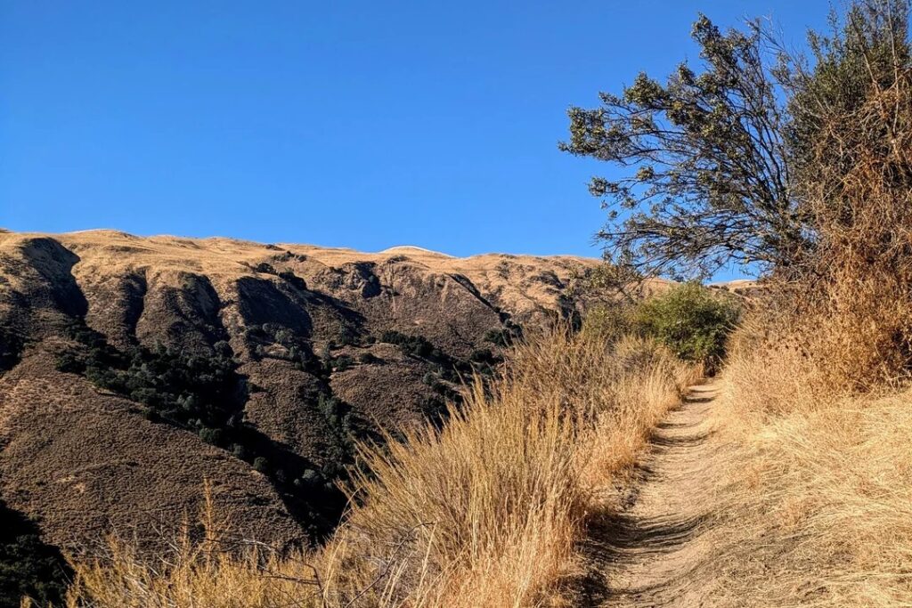
The North Rim Trail runs through open grassland, and guides describe it as a good spot for views and benches, with bikes and horses sharing it. Because it uses both the creek trail and the rim, check the Trestle Bridge detour before you start.
South Rim Trail: The Hiker’s Climb
The South Rim Trail is the park’s classic challenge. One published route starts at the Mineral Springs area, follows the creek past the old mineral springs, crosses a bridge near the confluence of Arroyo Aguague and Penitencia Creek, and then climbs the South Rim by dozens of switchbacks.
The trail meanders along the rim for about a mile before dropping steeply to the canyon, and loops return by the South Woodland Trail. Distances range from about 3.5 to 4.2 miles with roughly 580 to 705 feet of climbing, depending on the version.
A local guide describes it as a hiker’s trail where bikes and horses aren’t allowed, with mostly shaded switchbacks and good views of the canyon and the city below.
Beyond the Park: Bay Area Ridge Trail and Open Space
Alum Rock Park’s northern trails are a gateway to the Santa Clara County Open Space Authority’s Sierra Vista Open Space Preserve, and the Bay Area Ridge Trail runs from the park toward it. That route is much longer, and AllTrails lists more than 1,700 feet of ascent, so treat it as a full-day outing.
Penitencia Creek County Park: The Paved Trail
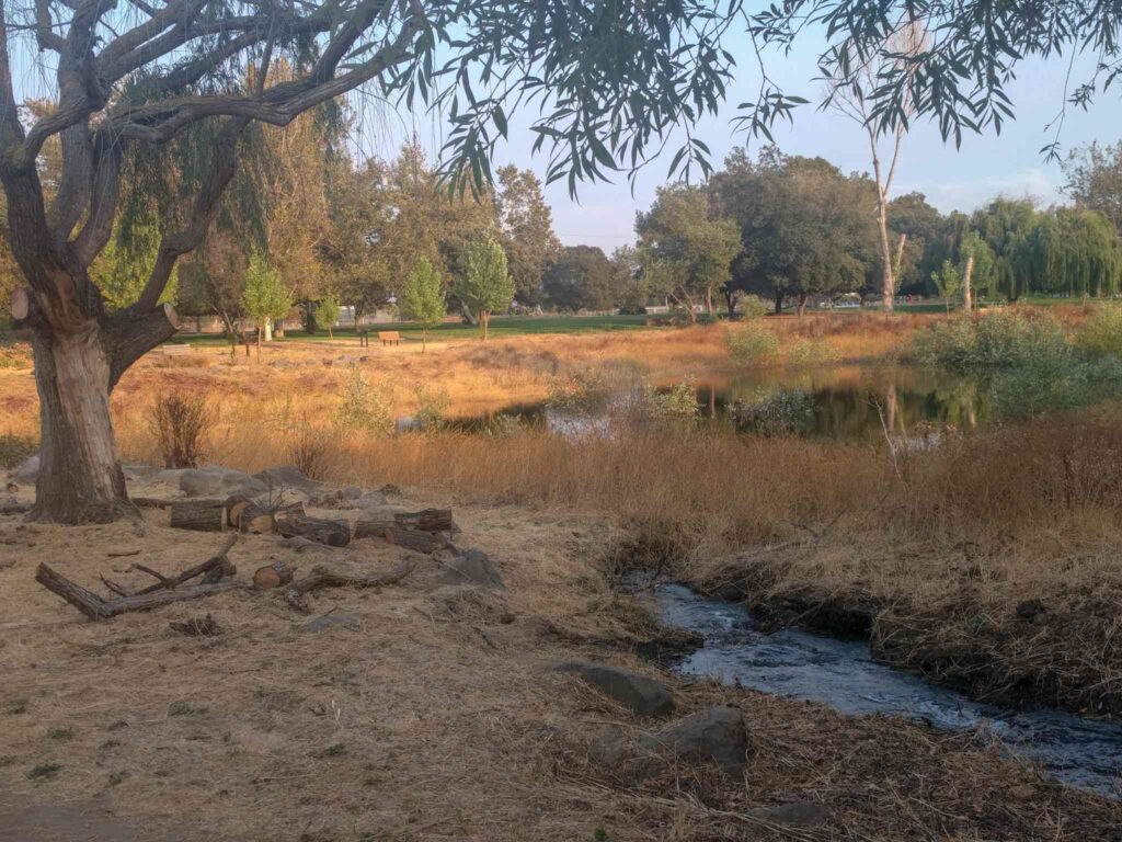
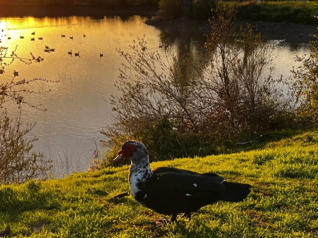
For flat, paved walking, the county trail suits strollers and bicycles. From White and Piedmont Roads toward Jackson and Mabury, the trail is mostly continuous, and the creek flows beside neighborhoods, with a pond that attracts waterfowl. Our guide to family-friendly hiking trails in California lists more easy walks.
Why Alum Rock Park Became a Spa
The canyon’s springs are the park’s origin story. After the rocks near the entrance were mistaken for alum, the valley’s mineral springs drew visitors, and many springs were enclosed in stone grottos, with stone bridges built across the creek.
A narrow-gauge railway to the park from downtown San José began in 1891, and by 1896, about eight miles of track reached the park. Streetcar service into the park ended on July 11, 1932. Today, the springs’ stonework is part of the scenery.
Dogs, Bikes, Horses and Other Rules
Dogs aren’t allowed in Alum Rock Park, which the City considers a protected wildlife sanctuary. In the county park, dogs are allowed on leash.
Our list of dog-friendly hiking trails in California has more options. In Alum Rock, equestrians and cyclists must use designated trails only; vehicles aren’t allowed on service roads or trails, smoking isn’t permitted, and the City may restrict fires and barbecues or close the park during fire season.
When Is the Best Time to Visit?
Spring brings wildflowers, including California poppy and sticky monkey flower, and ferns are common in winter and spring. Early starts help on hot days, since the North Rim is open grassland; our weather hazards guide explains how to plan for heat.
For a wildflower-focused day, see our guide to the best hiking trails in California for spring wildflowers. Runners favor the park, too, and our guide to trail running vs. hiking in California explains the differences.
Where to Go Next After Alum Rock
If the foothills have you hooked, our roundup of the best hiking trails in San Jose and the South Bay and our list of the best hiking trails in the Santa Clara Foothills are good next steps. Across the valley in Alameda County, the Mission Peak hiking guide covers a bigger summit climb. For the whole county, return to the Santa Clara County trail guide.
Final Recommendation
Here’s the honest version: with an hour, walk the Penitencia Creek Trail in Alum Rock Park and look for the old stonework. With a half day, take the creek-and-North-Rim loop, or climb the South Rim switchbacks if your legs are up for it. If you want flat pavement and a leashed dog, use the county trail. Check the road and trail alerts first, because both change with the weather, and leave the dog home if you’re headed up the canyon.
Frequently Asked Questions About Penitencia Creek Park and Alum Rock Park
Is Penitencia Creek Park the same as Alum Rock Park?
No. Penitencia Creek County Park is a Santa Clara County park, a linear trail corridor of about 163 acres. Alum Rock Park is a separate 720-acre City of San José park at the upstream end of the same creek. The county trail begins where Alum Rock Park ends.
Is there a fee to visit Penitencia Creek Park in San Jose?
No. Santa Clara County Parks lists no entrance fees for Penitencia Creek County Park. Alum Rock Park lists $6 parking in its lots, and $10 on holidays.
Are dogs allowed on the Penitencia Creek Trail?
It depends on the section. Dogs are allowed on leash in the county park but not in Alum Rock Park, which is a protected wildlife sanctuary.
How long is the Penitencia Creek Trail in Alum Rock Park?
Published out-and-back versions run about 3.5 miles with roughly 255 feet of elevation gain. The City describes the creek walk through the canyon as about 2.5 miles.
What time does Alum Rock Park close?
Alum Rock Park runs from 8 a.m. to half an hour after sunset. The county’s Penitencia Creek Park is open from 8 a.m. until sunset.
Is Alum Rock Park open to cars right now?
It can vary. The City has installed metered lights to control traffic on Penitencia Creek Road while it repairs storm damage, and at times it has temporarily closed the park to public vehicles for maintenance. Call the rangers at (408) 259-5477 before you drive.