California Trail Closures: Why They Happen and Where to Check
Every guide on this site mentions current California hiking trail closures rather than pretending every trail is always open, and if you’ve read a few of them, you’ve probably noticed the same handful of closure types coming up again and again.
Disclosure: Please note that some of the links below are affiliate links and at no additional cost to you, I may earn a commission. Know that I only recommend hiking gear I personally stand behind; when you use my affiliate links, it helps me run this blog and keep all of this content free of charge for readers (like you).
This guide explains why California trails close, where to check current status before you drive out, and which closures follow a predictable seasonal calendar versus which ones can happen with no warning at all. It’s meant to be the reference page this site’s trail-specific guides point back to, rather than repeating this same explanation in every single one.
Key takeaways:
- Most closures aren’t permanent, but some are long-term: a wildfire closure can last months; a few, like Big Basin’s waterfall corridor, have now stretched into years.
- Seasonal closures are predictable enough to plan around: Tioga Road and most high Sierra passes close every winter on a roughly known calendar, unlike wildfire or storm closures.
- The penalty for hiking a closed trail is not theoretical: federal closure orders on National Forest land carry fines up to $5,000 for an individual, $10,000 for an organization, and up to 6 months’ imprisonment.
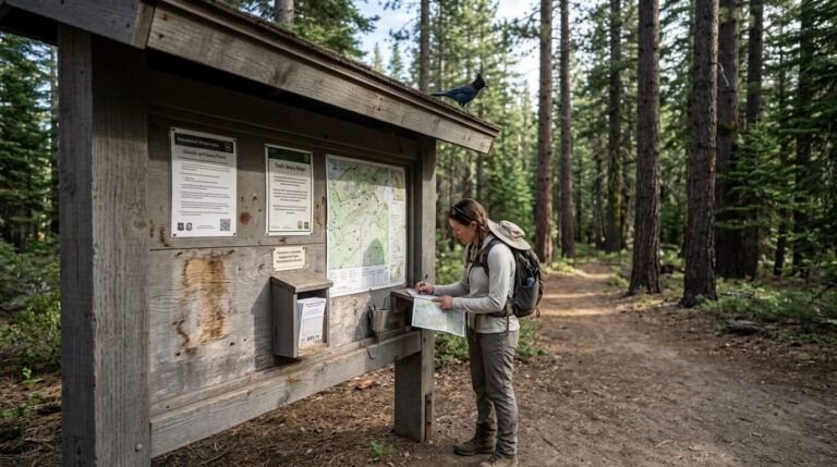
- No single website tracks every California closure: the most reliable approach is checking the specific managing agency’s own alert page for wherever you’re headed, not a general search.
Why California Trails Close
Wildfire damage and burn-area closures
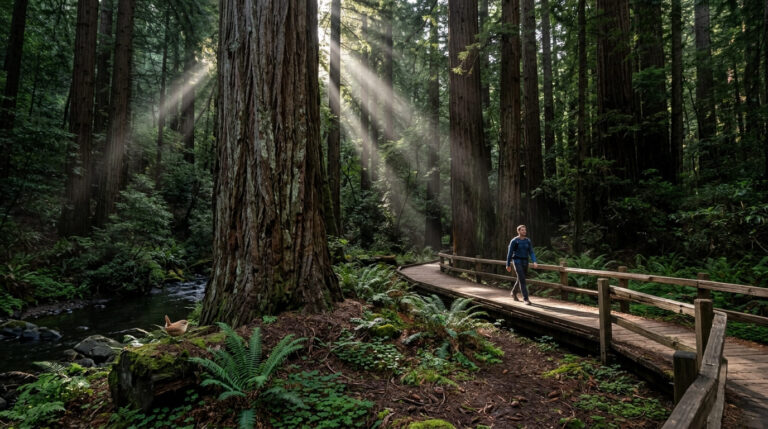
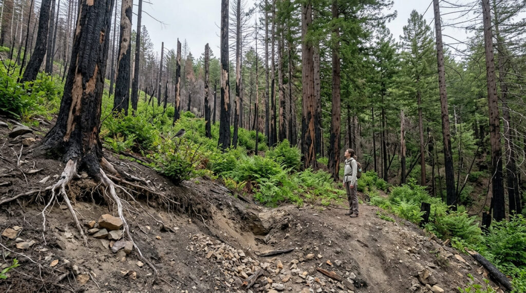
Wildfire is the closure type most likely to last months or years rather than days. Big Basin Redwoods State Park, covered in our summer hiking guide, has been in gradual, uneven recovery since the 2020 CZU Lightning Complex Fire; its waterfall corridor, including Berry Creek Falls (covered in our waterfalls after rain guide), remains closed years later, a reminder that “recovering” and “reopened” aren’t the same thing.
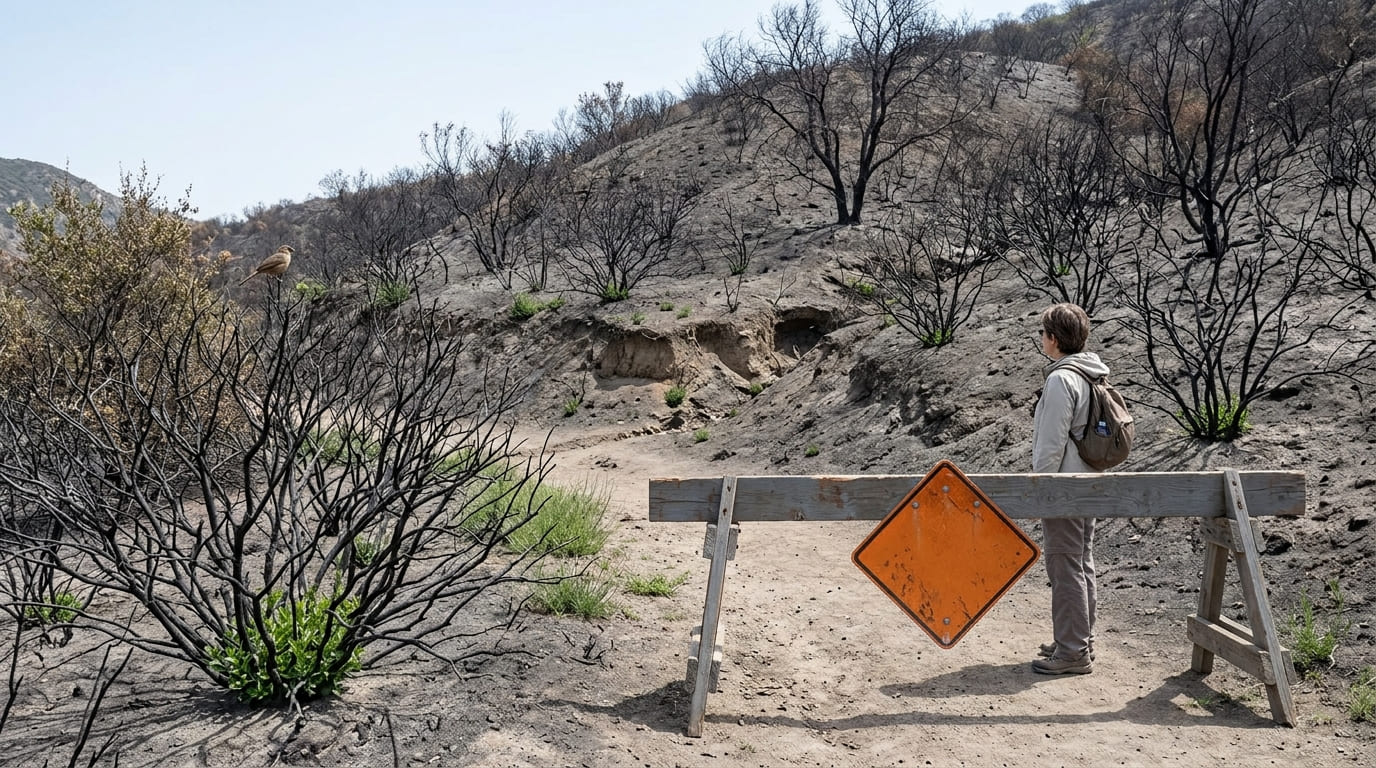
Eaton Canyon, in the San Gabriel foothills, is another current example: closed indefinitely following the Eaton Fire due to unstable hillsides and destroyed infrastructure, with both LA County and Angeles National Forest actively enforcing the closure (fines up to $5,000 from LA County, and up to $5,000 for individuals or $10,000 for organizations under federal Forest Service closure orders).
The pattern to remember: burned terrain isn’t just aesthetically damaged; it’s often unstable, with loosened soil and dead root systems that keep failing well after the fire itself is out, which is why these closures tend to outlast the news coverage.
Snow and seasonal road closures (e.g., Tioga Road)
This is the most predictable closure type on this list. Tioga Road, the only route into Yosemite’s Tuolumne Meadows, closes every winter and reopens sometime between late spring and midsummer depending on snowpack; it opened May 15 in 2026, but has opened as late as July 22 in a heavy-snow year and as early as April 8 in an unusually light one.
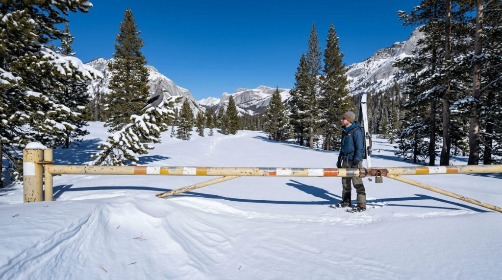
Cedar Grove Road into Kings Canyon follows a similar annual pattern, closing every November regardless of that year’s specific conditions, as covered in our fall color guide. Unlike wildfire or storm closures, you can plan a trip around these dates, even if the exact opening day shifts by a few weeks year to year: the difference is between “check the week before” and “check the day of.”
Wildlife protection closures (nesting raptors, bighorn sheep lambing)
Some closures exist purely to protect breeding wildlife during a specific window. Yosemite closes designated cliff areas to climbing (and sometimes hiking access near those cliffs) each year to protect nesting peregrine falcons and golden eagles; in 2026, these closures ran from March 1 through July 15, lifted that same day once the season’s chicks had fledged.
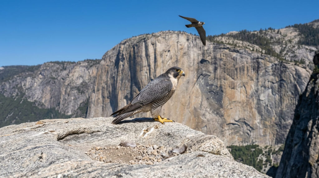
Sierra bighorn sheep lambing season, roughly late April through early July, prompts similar temporary closures on specific trails in bighorn habitat elsewhere in the range. These closures are temporary and predictable in timing, even though the specific areas affected can shift from year to year based on where the animals are nesting or lambing that season.
Flood and storm damage closures
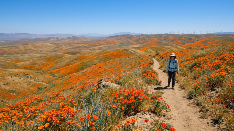
This is the least predictable closure type: a single atmospheric river storm can wash out a trail section or bridge with essentially no warning. Carrizo Plain’s Soda Lake Road, covered in our spring wildflowers guide, closed for roughly three weeks in early 2026 for storm cleanup with only days of notice.
Our terrain hazards guide covers the broader safety picture here: washed-out sections and burn-scar instability are related risks, since storms often do the most damage to terrain a recent fire has already weakened.
Where to Check Current Trail Status Before You Go
National Park Service and National Forest alert pages
NPS’s general alerts portal and each park’s individual alerts page are the most authoritative sources, though updates can lag conditions by a day or more during fast-moving situations. USFS maintains a similar alerts system organized by individual national forest; since California has 20 national forests, bookmark the specific one covering your trip rather than trying to track a general feed.

California State Parks advisory pages
State-managed parks fall outside NPS and USFS jurisdiction entirely and have their own advisory system through California State Parks.
Big Basin Redwoods and Torrey Pines, covered in our winter hiking guide, are both good examples of state-managed closures that wouldn’t show up on an NPS or USFS alert page at all; Torrey Pines’ current construction closure is a state parks project, not a federal one, so checking the wrong agency’s page would give you a false all-clear.
For active wildfires specifically, InciWeb is the official interagency system tracking incident status and associated closures in time, often faster than an individual park’s own page during an active event.
Crowdsourced apps (AllTrails, Gaia GPS) vs. official sources
Apps like AllTrails and Gaia GPS are useful for real-time, on-the-ground detail; a recent hiker report about a downed tree or a flooded creek crossing often beats an official page that hasn’t been updated in weeks.
But they’re not a substitute for checking the managing agency directly: user reports can be outdated, mistaken, or describe a temporary condition as a permanent closure (or vice versa), and there’s no verification process behind a stranger’s trail review.
The best practice is using both: official sources for whether a trail is legally open, and crowdsourced apps for what current conditions on that open trail look like on the ground this week.
Seasonal Closure Patterns Worth Knowing in Advance
Tioga Road and High Sierra passes (typically closed November–May)
Most High Sierra mountain passes (Tioga, Sonora, and others above roughly 8,000 feet) follow a similar annual pattern: closed by the season’s first significant snowfall, typically sometime in November, and reopening the following late spring or early summer once snow crews finish clearing the route.
Building trip plans around “roughly November through May” as a default assumption, then confirming the date closer to your trip, is safer than assuming any specific calendar date.
Desert trail heat advisories and summer closures
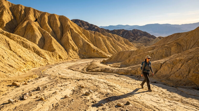
Death Valley and Joshua Tree don’t typically close trails outright for heat, but both issue heat advisories and warnings during extreme events, and park rangers can and do turn back visitors attempting exposed trails during the most dangerous afternoon hours.
This is a safety-driven pattern rather than a habitat or road-damage one; it’s the same logic behind why a trail can be perfectly legal to hike and still be a bad idea that day. Our winter hiking guide covers why the safe season at both parks is effectively the opposite of summer, and why “not technically closed” shouldn’t be read as “safe to attempt.”
Frequently asked questions about California hiking trail closures
Are hiking trails closed?
Some are, at any given time: California has thousands of miles of trail, and a rotating subset is always closed for wildfire recovery, seasonal snow, wildlife protection, or storm damage, which is exactly why checking the specific trail you’re planning to hike matters more than a general answer.
Are all hiking trails closed in California?
No, closures are always localized to specific trails, roads, or areas, never statewide; the vast majority of California’s trails are open on any given day.
How often are trail closure alerts updated?
It varies widely by agency and situation: official pages are usually updated within a day or two of a status change during normal conditions, but can lag during fast-moving events like an active wildfire, which is why InciWeb often has more current information than an individual park’s page during a fire.
What happens if you hike a closed trail anyway?
Enforcement is possible, not just a theoretical risk: federal closures on National Forest land carry fines up to $5,000 for an individual or $10,000 for an organization, plus up to 6 months’ imprisonment, and rangers do issue citations, particularly in high-profile closure areas.
Can a trail close with no advance notice?
Yes, storm damage, flash flooding, and sudden wildfire ignition can all trigger an immediate closure with essentially no warning, which is the main reason to check status the morning of your trip rather than relying on information from even a few days earlier.
Is there one website that tracks all California trail closures?
No, there’s no single unified source; the most reliable approach is checking the specific managing agency for your destination (NPS, USFS, or California State Parks) directly, since each maintains its own separate alert system.