Wildcat Canyon Regional Park Hiking Guide
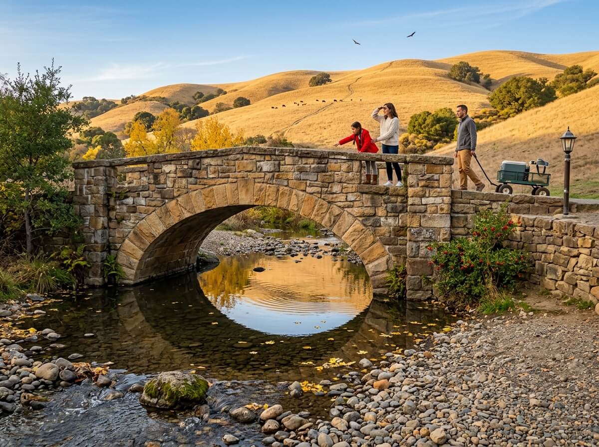
In 1909, families rode ferries and trolleys from across the East Bay, and even from San Francisco, to a private park at the mouth of a canyon in Richmond. They came for a pavilion, a dance floor, and a creek. The pavilion is gone now, but the stone walls, the lamp posts and a stone arch bridge across Wildcat Creek remain, and the trails above lead out of the picnic grounds into rolling grassland.
Disclosure: Please note that some of the links below are affiliate links and at no additional cost to you, I may earn a commission. Know that I only recommend hiking gear I personally stand behind; when you use my affiliate links, it helps me run this blog and keep all of this content free of charge for readers (like you).
That’s the north end of Wildcat Canyon Regional Park, a 2,789-acre East Bay Regional Park District (EBRPD) park that stretches from historic Alvarado Park in Richmond up along Wildcat Creek and the ridges above it to the Tilden Nature Area in the Berkeley Hills.
It has about 25 miles of trails, mostly fire roads, a paved ridge walk with bay views, and cattle that graze year-round. This guide follows your questions in order: where to start, what’s closed this month, which trail fits your day, and what to do about the dog. It’s one of the anchor parks in our Contra Costa County hiking trails guide.
Key Takeaways
- Where: Wildcat Canyon Regional Park, California: Alvarado Staging Area, 5755 McBryde Avenue, Richmond, CA. The staging area sits about a quarter mile up Park Avenue from the Alvarado Park entrance.
- Hours and cost: The park is open 5 a.m. to 10 p.m. The Alvarado parking lot gate closes between 5 p.m. (November to February) and 7 p.m. (June to August). Parking is free.
- Alerts: EBRPD’s October 7, 2026 update says annual fire-trail grading runs through October 30, with heavy equipment and brief trail closures. Fuels-reduction work in the Tilden Nature Area also affects the Loop Road and the south end of the Wildcat Creek Trail.
- Easiest option: Nimitz Way, a paved, wheelchair-accessible ridge walk, with 2.5 miles inside the park.
- Moderate loops: The Alvarado loops run about 2.5 to 5.9 miles with roughly 900 feet of climbing on the longest.
- Dogs: Not allowed in the Tilden Nature Area. Leashes are required on Nimitz Way and in developed areas.
What Makes Wildcat Canyon Regional Park Special?
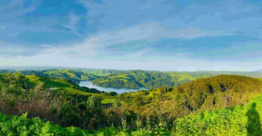
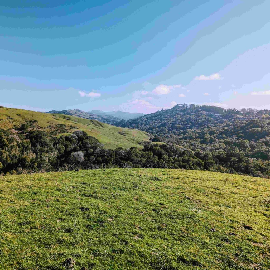
Wildcat Canyon Park sits where the East Bay hills fold into a long creek canyon. Its slopes carry coast live oak, bay laurel and a scattering of bigleaf maple and madrone. Moist chaparral of coyote brush, elderberry and poison oak covers the north-facing slopes, while a riparian forest of alder, willow and creek dogwood follows Wildcat Creek.
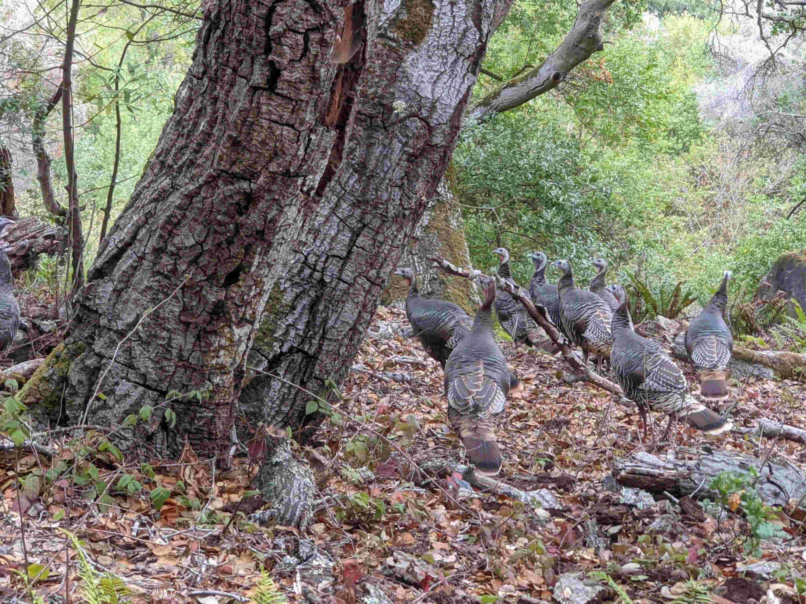
Coyotes are commonly seen, deer forage by day, and EBRPD says a mountain lion or bobcat is possible. Red-tailed hawks, American kestrels and turkey vultures ride the ridge air, and a great horned owl calls most nights.
The land’s history is a story about water. The Huchuin Ohlone lived here for thousands of years before Spanish and Mexican rancho grants displaced them. In the 1800s, the streams and springs of the canyon fed a struggle over water rights, which ended in the mid-1920s when the East Bay Municipal Utility District brought Mokelumne River water to the East Bay.
EBRPD bought the south end in 1935 for what is now Tilden Regional Park, which was originally named Wildcat Canyon, and began buying the north end in 1967. By 1976, it had enough land to open Wildcat Canyon Regional Park.
Alvarado Park joined in 1985. The City of Richmond had taken it over in 1923, and Depression-era work programs built the stone masonry you see today in what EBRPD calls a variation on rustic park architecture. Alvarado Park is on the National Register of Historic Places.
Getting to the Wildcat Canyon Trailhead: Alvarado Staging Area and Other Entrances
Most hikers start at the Wildcat Canyon trailhead at the Alvarado Staging Area. From El Cerrito, take Interstate 80 east to the Solano Avenue exit, turn left onto Amador Street, and turn right onto McBryde Avenue at the second stop sign.
From North Richmond or Pinole, take Interstate 80 west to the McBryde exit and turn left onto McBryde. Either way, ornamental stone pillars and a tall hedge mark the entrance to Alvarado Park.
For the staging area, continue straight through the stop sign onto Park Avenue; it’s about a quarter mile farther. Parking is free, and the lot gate hours shift with the seasons: 7:30 a.m. to 5 p.m. from November through February, to 6 p.m. in March through May and September through October, and to 7 p.m. from June through August.
Alvarado’s picnic areas have very limited parking, so carpool. There are other entrances too: walk-ins at Rifle Range Road, Park Avenue and Clark Road, and the Inspiration Point staging area in Tilden Regional Park, which has wheelchair-accessible parking and restrooms but no drinking water.
EBRPD says public Wi-Fi isn’t available, so download your map first. Check EBRPD’s Wildcat Canyon page for current alerts before you drive over, and see our guide on how to read a California hiking trail map if you plan to link several trails.


Wildcat Canyon Park Closures and Work Zones This Fall
Check these before you go. EBRPD’s October 7, 2026 update says annual grading of strategic fire trails is under way through October 30, with heavy equipment in the area, and brief trail closures may be needed. Please plan alternative routes.
Separately, the Loop Road in the Tilden Nature Area is closed Monday through Friday, 8 a.m. to 4 p.m., from September 21 until late October for tree work between the Lone Oak Staging/Picnic Site and Wildcat View Group Camp. During the closure, trail users, including bicycles, can use the Wildcat Creek Trail past the Environmental Education Center and Little Farm.
EBRPD is running several wildfire-hazard fuels projects in Wildcat Canyon and Tilden between May and December 2026, including one near Jewel Lake that affects the Wildcat Creek Trail, Jewel Lake Trail and Loop Road. Our guide to California hiking trail closures explains how to check conditions in advance.
Best Wildcat Canyon Trails
The park has dozens of trail combinations, and published loops vary in length. These are the best-documented, from EBRPD’s map and published route descriptions.
| Route | Distance | Level | Starts at |
|---|---|---|---|
| Alvarado Park loops | 0.5–1.0 mi | Easy | Alvarado Staging Area |
| Bonita–Monte Cresta–Belgum loop | About 2.5 mi | Moderate | Alvarado Staging Area |
| San Pablo Ridge–Wildcat Creek loop (via Belgum and Mezue) | About 5.7–5.9 mi | Moderate | Alvarado Staging Area |
| Nimitz Way (paved) | About 8 mi round trip from Inspiration Point | Easy to moderate | Inspiration Point, Tilden |
Alvarado Park: Stonework and Creekside Strolls
If you only have an hour, or you’re pushing a stroller, begin among the stone walls. The paved path from the Alvarado Park entrance reaches the main lawn and the Camp Alvarado and Elderberry picnic areas, and published loops of 0.5 to 1.0 mile circle the picnic grounds and Wildcat Creek.
There’s a children’s playground. EBRPD says there’s no vehicle access to the picnic areas, so bring a wagon or dolly to haul gear from the parking lot. Dogs must stay leashed in all developed areas.
San Pablo Ridge Loop: The Classic Climb
This loop tops one popular guide of the park’s best hikes. From the Alvarado Staging Area, the Wildcat Creek Trail begins at the far end of the lot and runs along the creek. About half a mile in, the Belgum Trail climbs 0.85 miles to the meadows above, past the ruins of the old Belgum Sanitarium and palm trees planted by its founder.
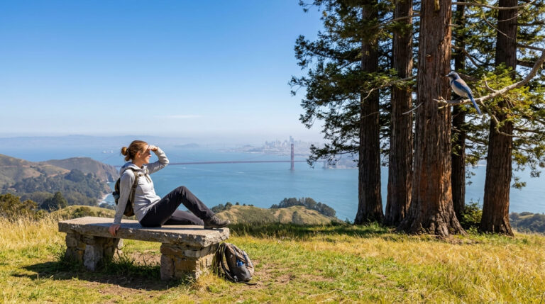
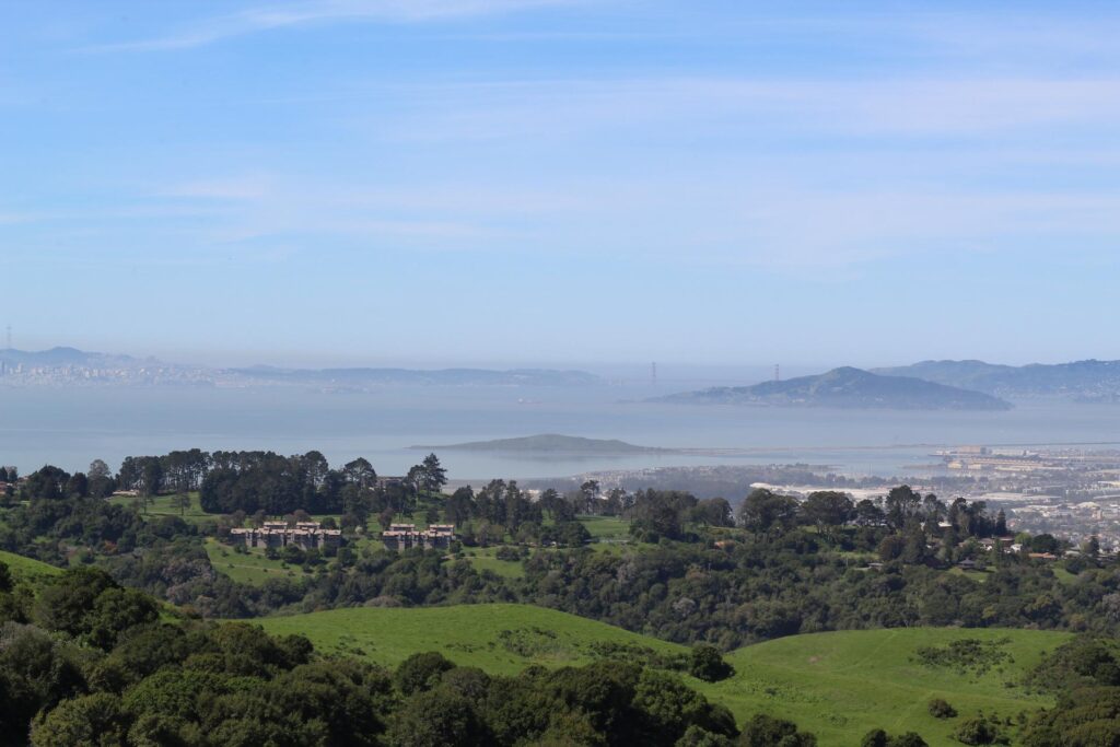
The San Pablo Ridge Trail then runs 1.43 miles over three peaks, topping 1,000 feet, with views of the San Francisco Bay. The Mezue Trail drops back down to the Wildcat Creek Trail, and a mild track leads to the staging area. The loop runs about 5.7 to 5.9 miles with roughly 900 feet of elevation gain.
Bonita–Monte Cresta–Belgum Loop: The Short Version
For a shorter workout, this 2.5-mile loop from the Alvarado Staging Area uses the Belgum Trail for the views without the full ridge commitment. It’s rated moderate, because the climb is steep for its length.
Nimitz Way: The Wildcat Canyon Trail for Views Without the Climb
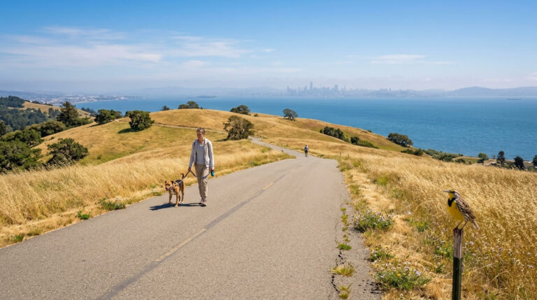
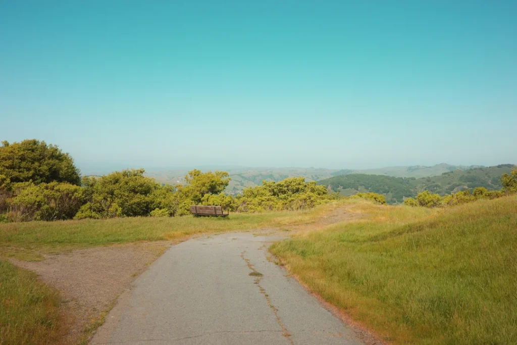
Nimitz Way is the Wildcat Canyon trail that suits nearly everyone. It starts at Inspiration Point in Tilden, is named for Admiral Chester W. Nimitz, and runs along the crest of the East Bay hills. About 2.5 miles of this paved trail lie inside Wildcat Canyon Regional Park, and EBRPD describes it as wheelchair-accessible.
For more detail, see Access Northern California’s page on the park, which EBRPD links but doesn’t review. West you see San Francisco Bay, to the east San Pablo and Briones reservoirs, and on a clear day Mount Diablo. Hikers, bicyclists and equestrians share it, and dogs must be leashed. Our guide to wheelchair-accessible hiking trails in California lists other options.
Wildcat Creek Trail: Level Walking Along the Water
The Wildcat Creek Trail is a wide, mostly level fire road that follows the creek from the Alvarado Staging Area up toward Tilden Nature Area.
The Wildcat Canyon section measures about 3.5 miles to the park boundary, and another mile reaches the Tilden Nature Area parking lot. Because it doesn’t gain much elevation, it’s an easy out-and-back to any distance you like.
Dogs, Bikes, Horses and Cattle
Dogs are not permitted in the Tilden Nature Area. They must be leashed on Nimitz Way, in all parking and staging areas and in all developed areas.
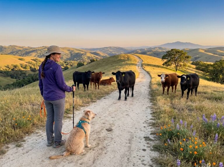
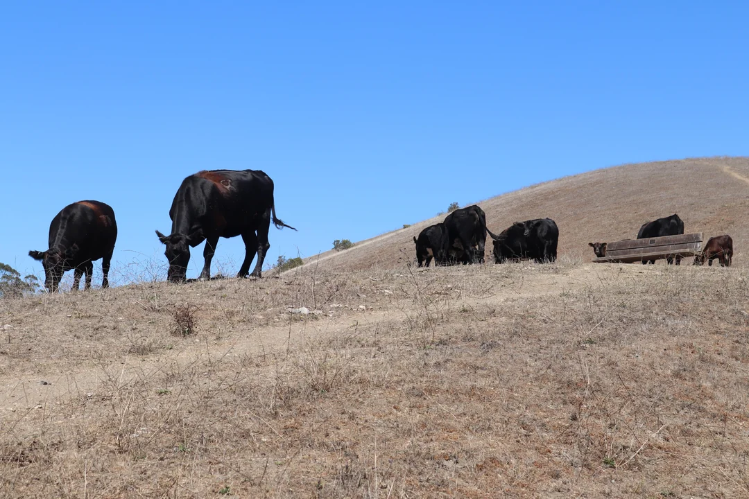
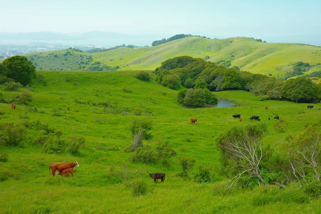
In open space, EBRPD allows dogs off leash if they’re under voice control, but its brochure requires leashes wherever grazing animals are present, and cattle graze year-round in the park. Plan to leash. Our guide to hiking with dogs in California covers other rules.
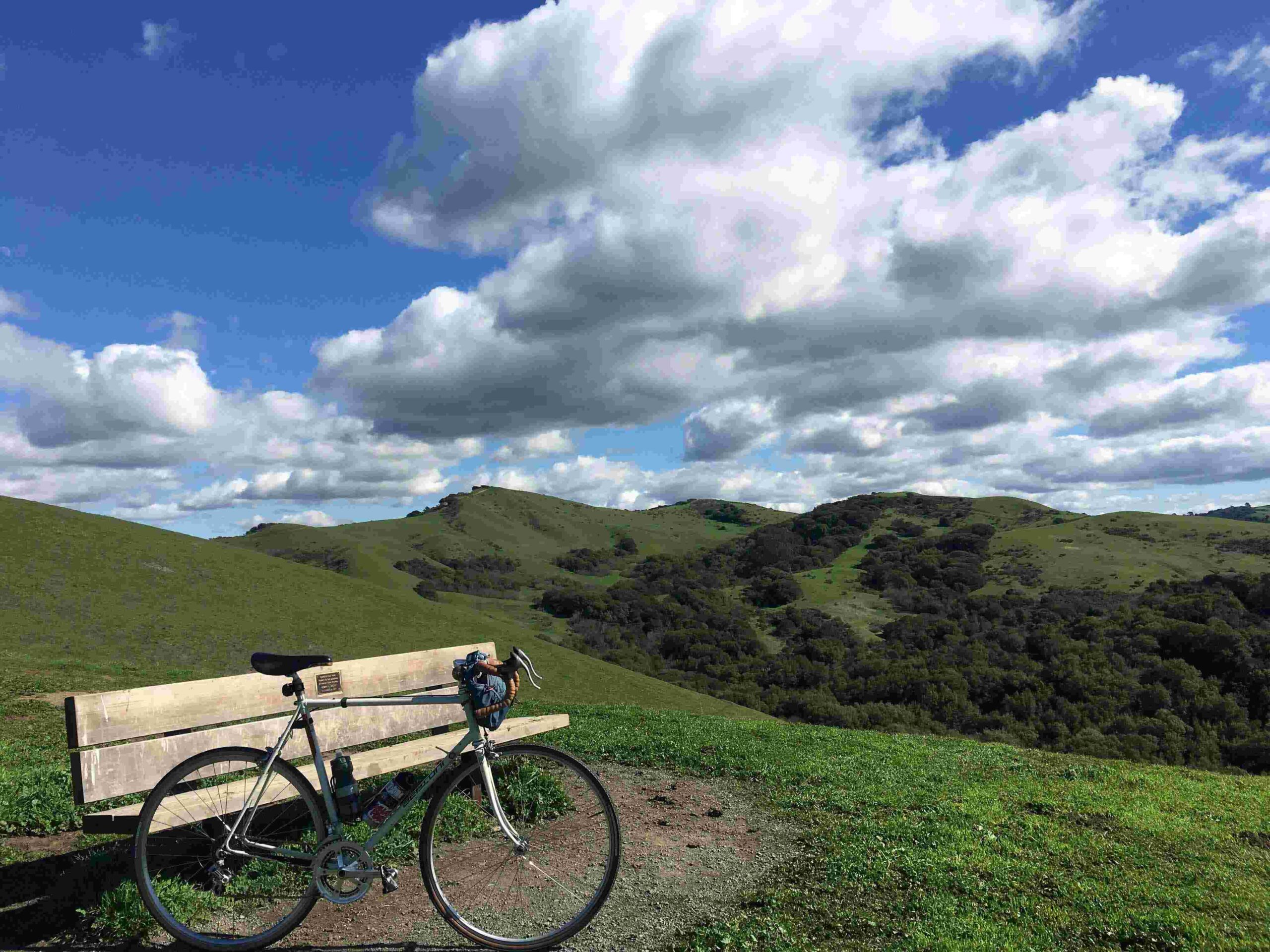
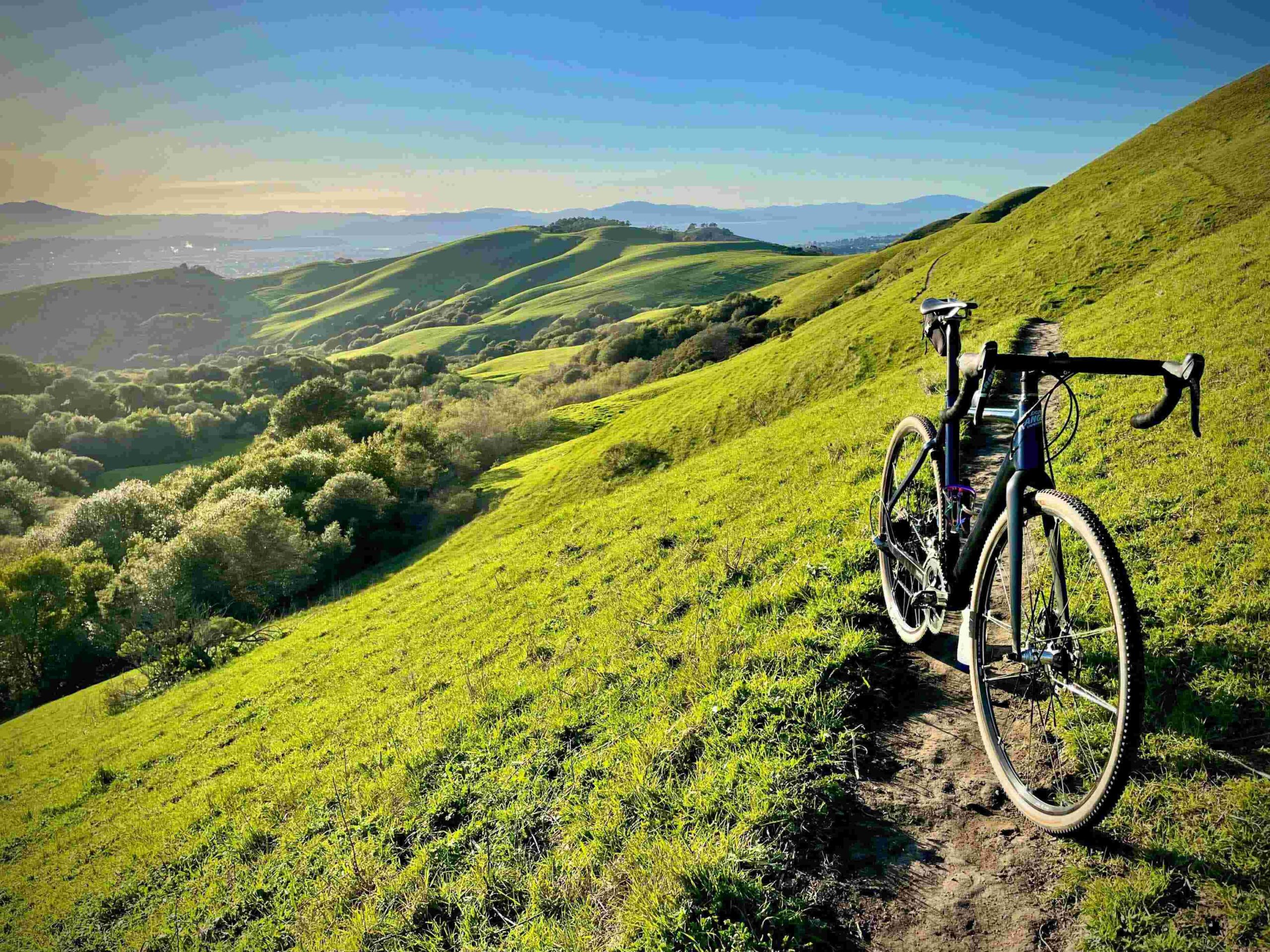
Bikes are prohibited near the Environmental Education Center and Little Farm and on any single-track trail in the Tilden Nature Area. They’re permitted on other fire roads, except the Laurel fire road that connects Nimitz Way to the Loop Road, and on Havey Canyon Trail, which is closed to bikes and horses from December 1 through March 1. Class I e-bikes are allowed wherever regular bikes are.
Keep gates closed, don’t approach wildlife, and skip the smoking, vaping and drones, all of which are prohibited. EBRPD is also exploring a new bike trail in the park and finished its environmental review scoping comment period in March 2026.
When Is the Best Time to Visit Wildcat Canyon Regional Park?
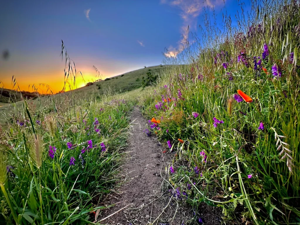
Spring brings wildflowers; EBRPD notes many native flower species here, and our guide to the best hiking trails in California for spring wildflowers offers more ideas.
In summer, the Alvarado lot gate stays open until 7 p.m., and the ridges are open and exposed, so bring water; our weather hazards guide explains how to plan for heat. EBRPD notes that old and fresh landslides and slumps are numerous here, so trails can change after storms. Plan to be back at your car well before the lot gate closes.

Where to Go Next After Wildcat Canyon
Wildcat Canyon connects directly to Tilden, and our guide to the best hiking trails in Berkeley covers the Berkeley Hills side. For more county parks, see our guide of regional park hiking trails in Contra Costa County, and our Briones Regional Park hiking guide covers the larger EBRPD park farther east. For the whole county, return to the Contra Costa County trail guide.
Final Recommendation
Here’s the honest version: with an hour, walk Alvarado Park and cross the stone bridge. With a half day, climb the Belgum Trail and walk the San Pablo Ridge loop for the bay views. With a stroller or a wheelchair, take Nimitz Way. Check the fire-trail grading notice before you go, and give the cows the right of way.
Frequently Asked Questions About Wildcat Canyon Regional Park
Is there a fee to park at Wildcat Canyon Regional Park?
No. EBRPD lists parking at Wildcat Canyon as free. Parking at Alvarado picnic areas is very limited, so carpool.
What are the hours at Wildcat Canyon Regional Park?
The park is open 5 a.m. to 10 p.m. The Alvarado Staging Area lot gate runs on seasonal hours, from 7:30 a.m. to 5 p.m. in winter to 7 p.m. in summer.
Are dogs allowed at Wildcat Canyon Regional Park?
Yes, outside the Tilden Nature Area. Dogs must be leashed on Nimitz Way and in parking and developed areas, and EBRPD requires leashes where grazing animals are present.
Is Nimitz Way wheelchair accessible?
Yes. EBRPD says a walk along Nimitz Way is paved and wheelchair accessible. The Inspiration Point staging area in Tilden has accessible parking and restrooms but no drinking water.
What’s the best Wildcat Canyon trail for beginners?
Start with Nimitz Way or the Alvarado Park loops. Both are easy, and Nimitz Way gives you bay views without a climb.
Can you mountain bike at Wildcat Canyon?
Yes, on most fire roads and on Havey Canyon Trail, except from December 1 to March 1 on Havey Canyon. Bikes aren’t allowed on single-track trails in the Tilden Nature Area.