Best Hiking Trails in San Diego, California
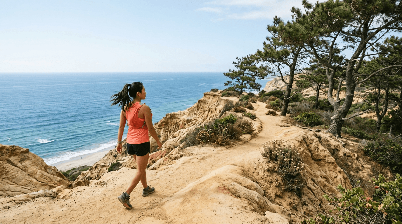
Hiking Trails in San Diego span five distinct ecosystems within about an hour’s drive of each other: coastal sage scrub bluffs, urban river canyons, oak woodland mountains, and the edge of the Anza-Borrego Desert, held together by a Mediterranean climate that keeps most of it hikeable year-round. I’ve spent four-plus years cataloging trails across this state, and San Diego is one of the few California counties where you can genuinely hike a different ecosystem every day of a week-long trip without ever leaving the county.
Disclosure: Please note that some of the links below are affiliate links and at no additional cost to you, I may earn a commission. Know that I only recommend hiking gear I personally stand behind; when you use my affiliate links, it helps me run this blog and keep all of this content free of charge for readers (like you).
That range is easy to underestimate if you’ve only seen the coastal postcard version of San Diego; the county’s interior mountains and desert edge feel like an entirely different state once you’re an hour inland. This guide covers the best trails by region, plus the permit and fee details that trip people up most.
Key takeaways:
- San Diego’s Mediterranean climate (around 70°F average) makes most county trails hikeable year-round, unlike snow-dependent Sierra destinations.
- Cowles Mountain, at 1,591 ft, is the highest point within San Diego city limits and the county’s single most popular summit hike.
- Torrey Pines does not require an advance reservation for individual visitors; it uses demand-based parking pricing ($10–25/vehicle) paid on arrival, not a timed-entry system.
- Mission Trails Regional Park is free to hike year-round and covers 7,220 acres with 60 miles of trails.
- Cuyamaca Rancho State Park has substantially recovered in the two-plus decades since the 2003 Cedar Fire and now offers healthy oak woodland and pine forest hiking.
Related:
- 5 Best Hiking Trails in San Diego: Top Picks for Every Skill Level
- 5 Best Canyon Hiking Trails in San Diego
- 5 Best Coastal Hiking Trails in San Diego
- 5 Best Desert Hiking Trails in San Diego
- 5 Best Hiking Trails for Sunset Views in San Diego County
Why San Diego County is a year-round hiking destination
San Diego’s Mediterranean climate holds around a 70°F average year-round, and the county packs coastal sage scrub, chaparral, riparian canyon, and desert ecosystems into a footprint small enough to experience all of them within 60 miles of each other, a genuinely rare combination for a single county anywhere in the country.
Unlike Sierra Nevada destinations that shut down under snowpack for half the year, San Diego’s biggest seasonal variable is heat in the desert zones, not access at all, which means with the right regional choice, there’s almost always a good hiking option somewhere in the county regardless of the calendar.
San Diego County’s five hiking zones
The coastal zone (Torrey Pines, Del Mar) offers sage scrub bluffs and ocean overlooks, and tends to run cooler and foggier than the rest of the county thanks to the marine layer. Mission Trails and the river valleys deliver a genuinely large urban wilderness minutes from downtown, proving that “urban hiking” doesn’t have to mean a paved park loop.
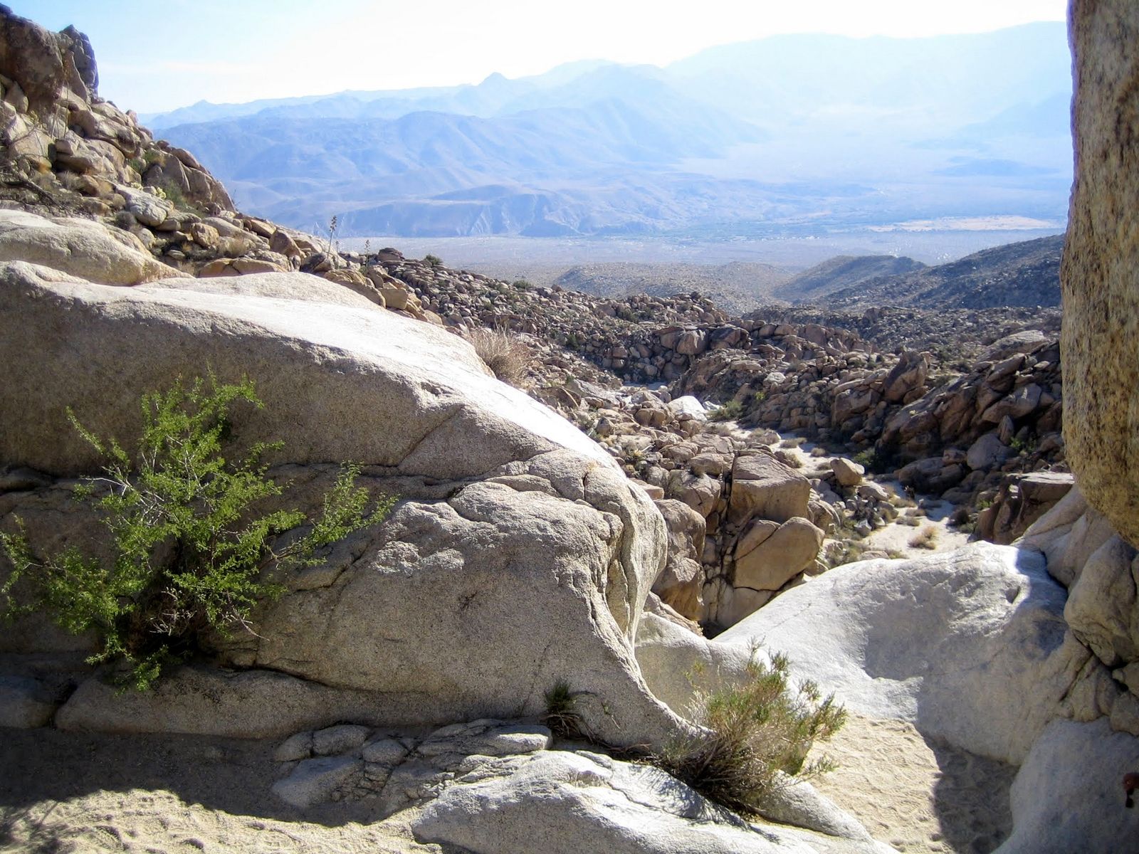
Cuyamaca Rancho State Park brings oak woodland and pine forest mountain hiking to the county’s interior, at high enough elevation to feel genuinely different from the coast. Anza-Borrego, in eastern San Diego County, offers true desert terrain, best treated as a fall-through-spring destination given summer heat.
And the San Bernardino border ridgeline rounds out the county’s higher-elevation options at its northern edge, less visited than the other four zones but worth knowing about if you’re chasing solitude. That same inland mountain corridor continues north into the hiking trails in Riverside County, where Idyllwild and the San Jacinto range pick up the elevation San Diego’s northern edge only hints at.
Best hiking trails at Torrey Pines State Reserve, San Diego
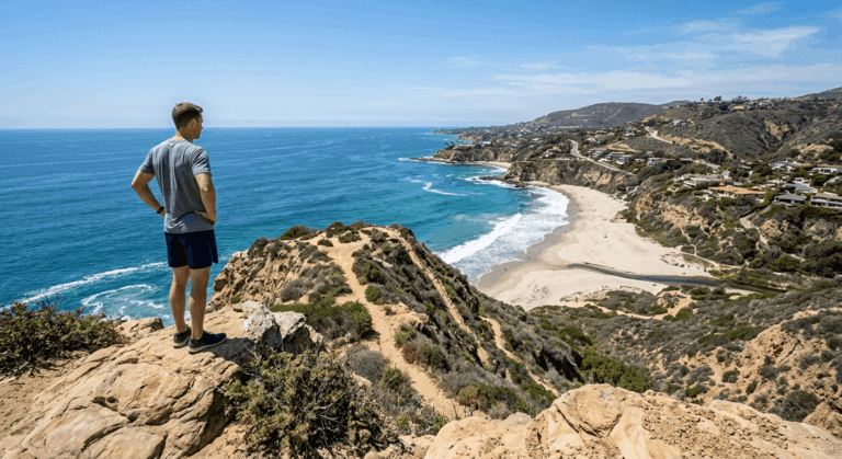
Torrey Pines protects 2,000 acres and about 8 miles of trails around the nation’s rarest pine tree, set against sandstone cliffs and Pacific overlooks, genuinely one of the most photographed coastal hikes in Southern California.
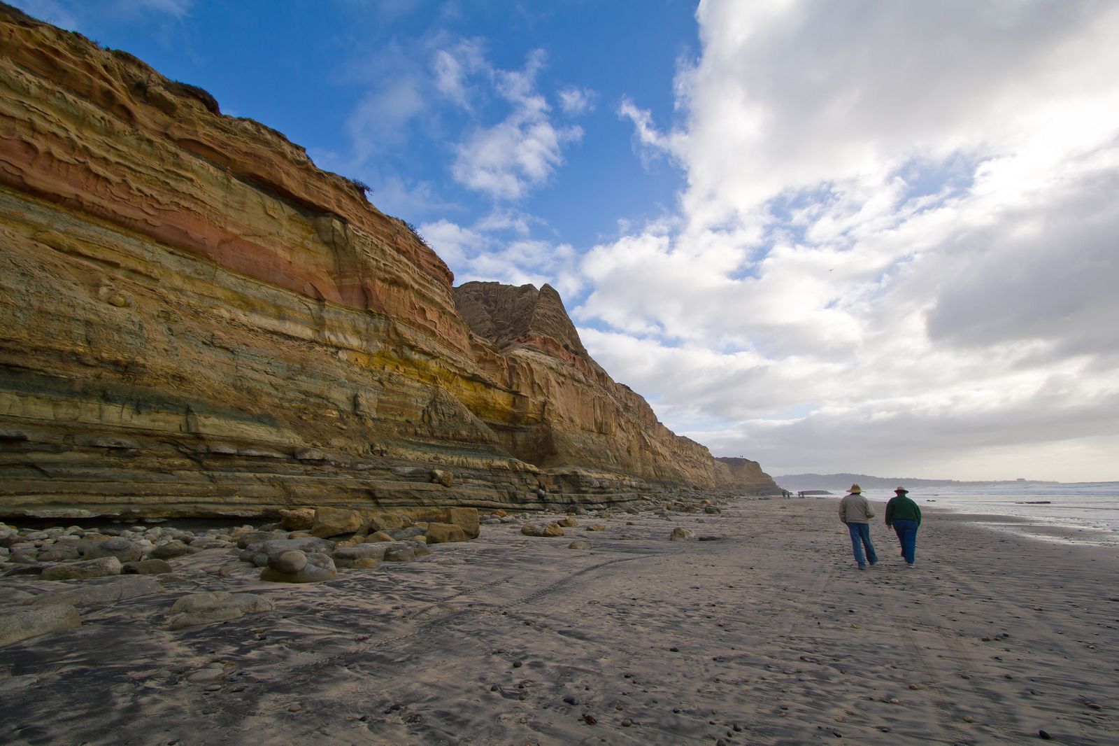
The reserve carries California’s rare “natural reserve” designation, held by only about 14 of the state’s 280+ state park units, which means stricter protections than a typical state park: no dogs anywhere in the reserve, no food above the beach, and trails that close outright after rain to prevent erosion on the fragile sandstone.
Guy Fleming Trail: Torrey Pines’ best easy loop for ocean views
This 0.7-mile loop gains only about 100 ft and delivers two distinct ocean overlooks: the North Overlook, which can reach the Channel Islands on a clear day, and the South Overlook, looking toward La Jolla Cove.
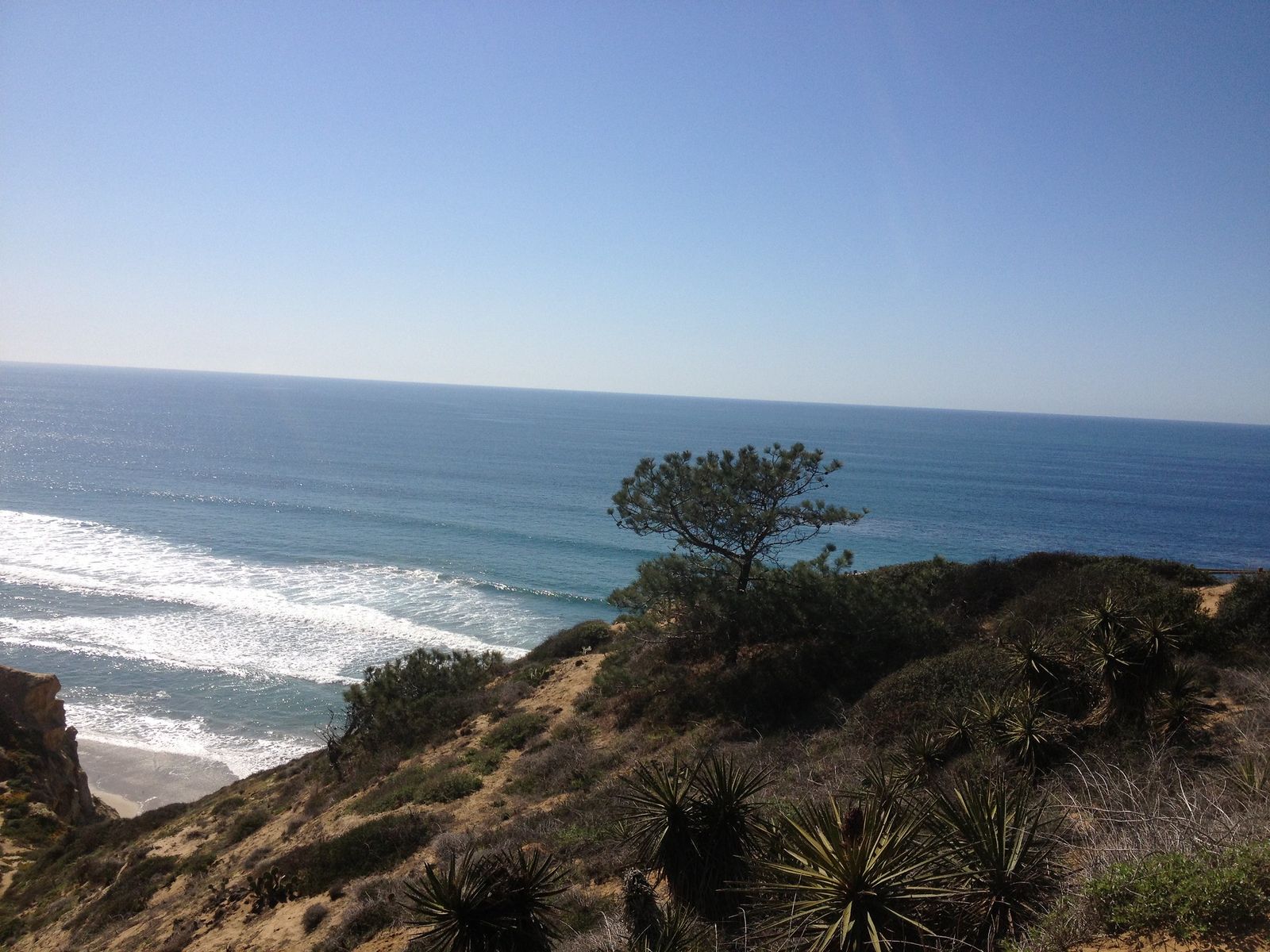
Trailside signage identifies the reserve’s namesake Torrey pines along the way, making this the best short introduction to the reserve for a first visit, and it’s flat enough to work well for visitors who want the payoff without a real physical commitment.
Razor Point Trail and Beach Trail: the full Torrey Pines experience
Combining Razor Point, Yucca Point, and the Beach Trail into one roughly 3.5-mile loop takes you through eroded sandstone badlands formations, genuinely dramatic tafoni erosion patterns carved into the rock, before dropping to beach access at low tide.
It’s the fullest single-trip sample of what makes Torrey Pines distinct, mixing coastal bluff scenery with an actual beach payoff at the end, and dolphins are a realistic sighting from the overlooks on a clear day.
Best hiking trails at Mission Trails Regional Park, San Diego
Mission Trails Regional Park covers roughly 7,220 acres with about 60 miles of trails, making it one of the largest city-adjacent natural parks in the country, free to hike year-round, with no entrance fee at all, which is genuinely unusual for a park of this scale and quality this close to a major metro area.
Cowles Mountain Trail: San Diego’s most popular summit hike
At 3 miles round-trip with about 950 ft of gain, Cowles Mountain climbs to 1,591 ft, the highest point within San Diego city limits, delivering a genuine 360-degree panorama that takes in both ocean and mountains on a clear day. It’s free, requires no permit, and is consistently the most crowded trail in the county on weekend mornings, with lines forming at the trailhead by 8 a.m. in good weather, so plan for an early start if solitude matters to you.
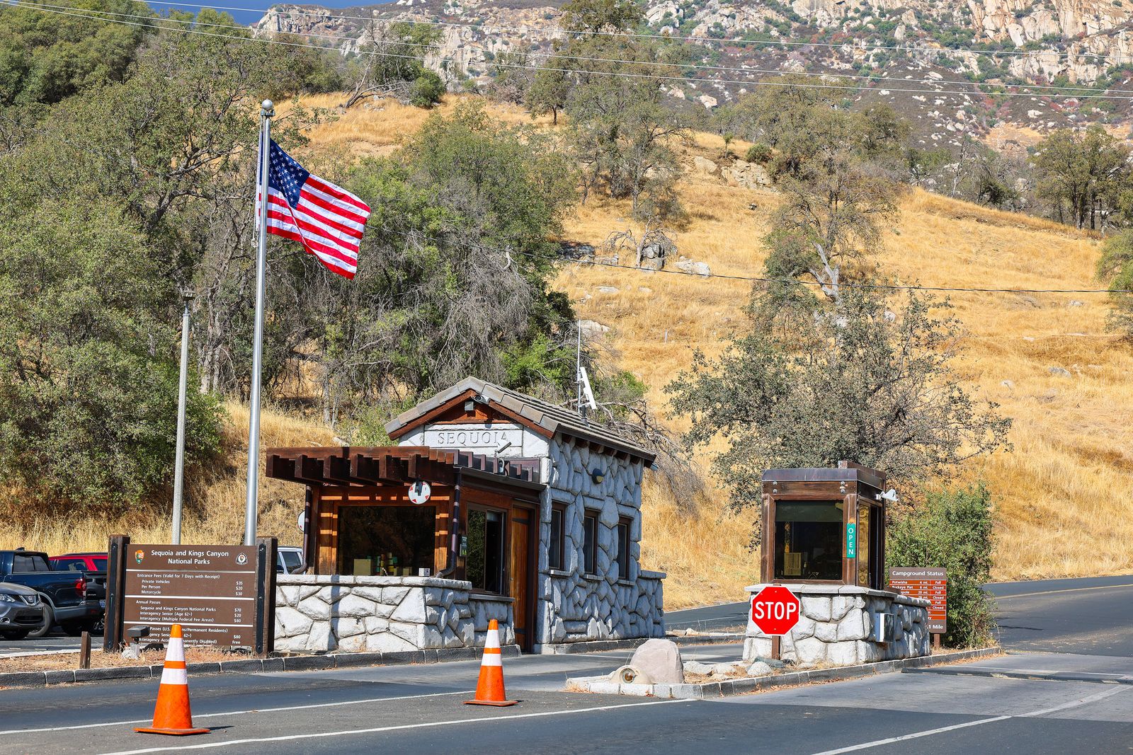
Multiple routes reach the summit; the standard Big Rock Park trailhead route is the most direct, while the Barker Way approach offers a quieter, slightly longer alternative with the same payoff.
Oak Canyon Trail: Mission Trails’ best easy creek and oak woodland hike
This 2.5-mile loop gains about 200 ft through coast live oak woodland along a seasonal creek, and it’s one of the few fully shaded hikes in San Diego County, genuinely rare relief on a hot day when most of the county’s coastal and canyon trails offer little to no cover.
It connects directly to the Old Mission Dam historic site, built by Kumeyaay people under Spanish coercion between 1809 and 1815, adding a real historical layer to what’s otherwise a quiet wildlife-viewing walk; deer, rabbits, and a wide range of birds are common sightings along the creek.
Best coastal canyon hiking trails in San Diego County
Beyond the coastline itself, San Diego’s canyon system- Los Peñasquitos, Tecolote, Rose Canyon, and Marian Bear Park- offers a genuinely unusual urban riparian hiking style found in few other California cities, where a real creek corridor cuts straight through dense suburban development without feeling like a manicured park path.
These canyons function as genuine wildlife corridors too, connecting habitat fragments across a heavily developed county in a way that matters more ecologically than their modest size might suggest.
Los Peñasquitos Canyon Trail: San Diego’s best urban canyon hike
Running about 6.5 miles one-way on mostly flat terrain, this trail follows a fossil-rich canyon with a seasonal waterfall that runs in winter and spring, and reliable coyote and hawk sightings for anyone patient enough to stay quiet and move slowly. Multiple entry points, Mercy Road or Black Mountain Road trailheads, let you tailor the distance to whatever you have time for, and it’s free with no permit required.
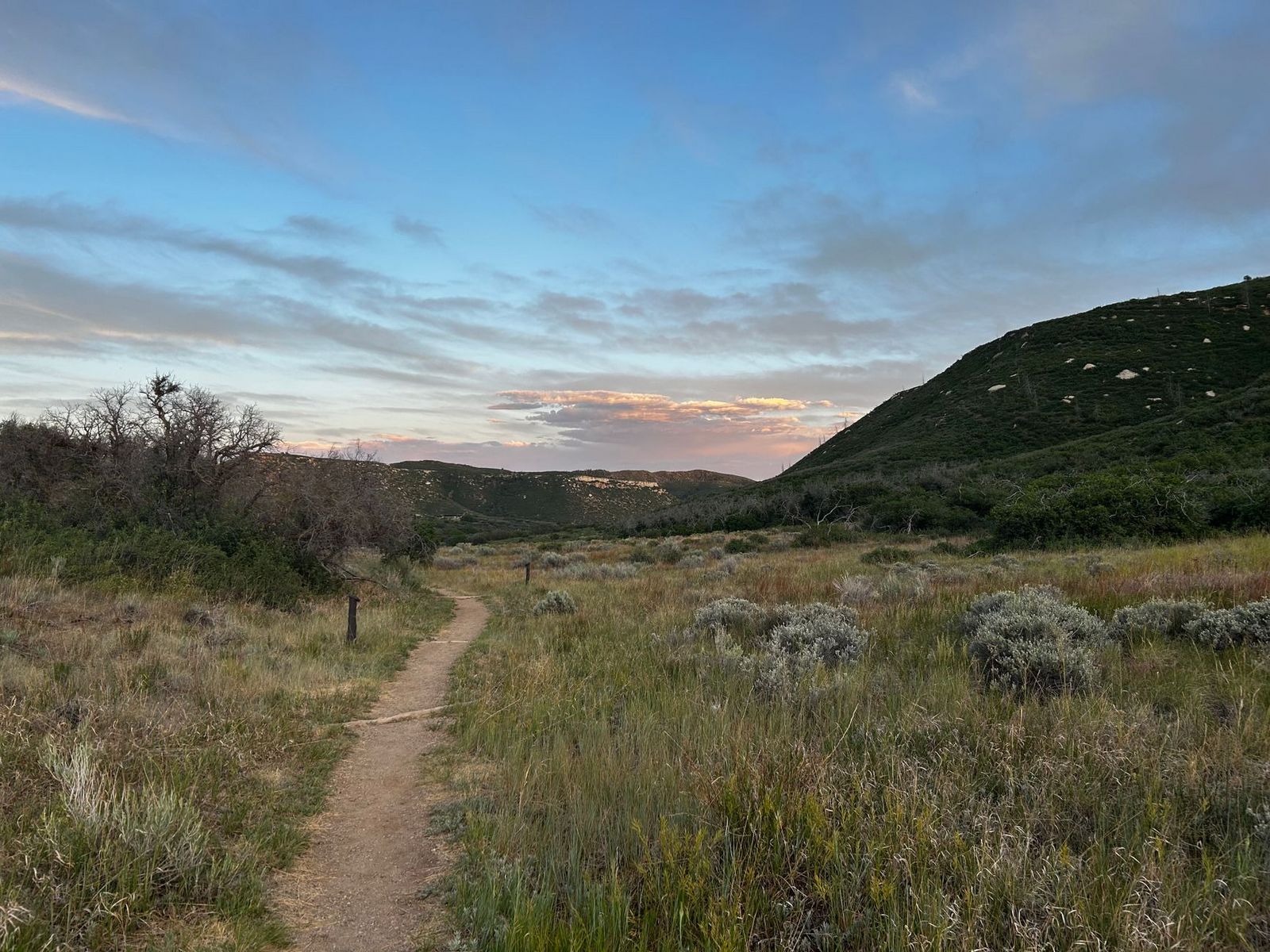
The full one-way distance makes a car shuttle or out-and-back decision worth planning ahead of time, since retracing your steps roughly doubles the mileage.
Best mountain hiking trails in Cuyamaca Rancho State Park, San Diego
Cuyamaca Rancho State Park covers roughly 26,000 acres in the Laguna Mountain area with over 100 miles of trails through oak woodland and pine forest, genuinely recovered in the two-plus decades since the 2003 Cedar Fire, which once burned significant sections of the park but has since given way to healthy meadows, creeks, and regrown forest cover.
Elevation here runs 4,000–6,500 ft, cool enough to offer real relief from a hot San Diego summer day at the coast. Drop off the east side of this same mountain range and the terrain flips completely into the desert floor of Imperial County.
Stonewall Peak Trail: San Diego’s best mountain summit hike
At about 3.8 miles round-trip with roughly 850 ft of gain, Stonewall Peak climbs to a 5,730 ft summit with a short cable-assisted section near the top and panoramic views over Cuyamaca Lake and the Laguna Mountains. Best hiked October through May, since summer heat and afternoon thunderstorm risk both make the exposed summit less appealing in peak summer.
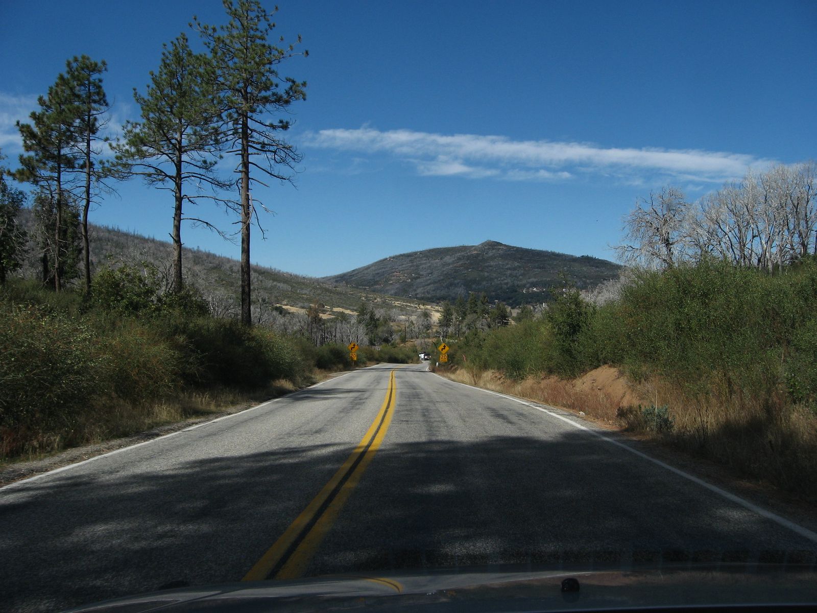
Dogs are not allowed on this or any Cuyamaca trail; they’re restricted to campgrounds, picnic areas, and paved roads only, which surprises visitors used to more dog-friendly county and regional parks elsewhere in San Diego.
San Diego hiking permits and trail fees guide
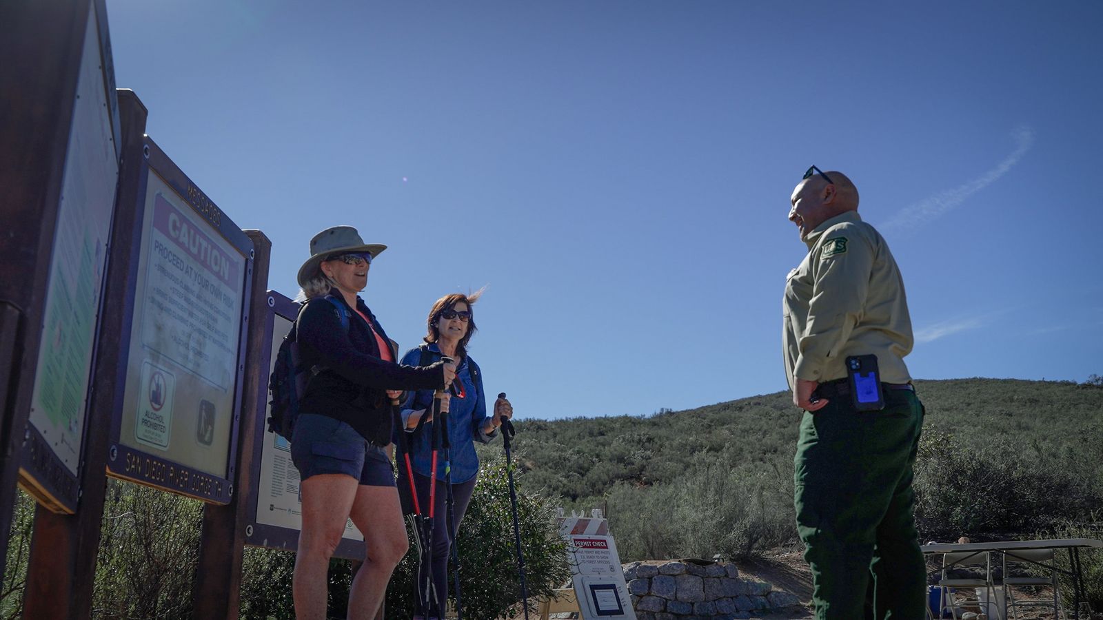
The fee landscape varies meaningfully by managing agency, and it’s worth checking before you drive out rather than assuming one park’s rules apply everywhere in the county, San Diego’s mix of state parks, city parks, and national forest land means no single rulebook covers all of it.
| Location | Fee | Reservation needed? |
|---|---|---|
| Torrey Pines State Reserve | $10–25/vehicle (demand-based) | No, pay on arrival; groups need a special event permit |
| Mission Trails Regional Park | Free | No |
| Cuyamaca Rancho State Park | $10/vehicle | No, first-come; ReserveCalifornia optional for camping |
| Cleveland National Forest | Free (day use) | No |
Torrey Pines’ demand-based pricing is worth understanding specifically, since it surprises first-time visitors: the fee genuinely changes day to day based on anticipated demand, running cheaper on weekdays and climbing toward the top of the $10–25 range on weekends and holidays. If you want to skip the fee entirely, free parking exists along Highway 101 outside the gate, with a short walk in on foot, a real option if the kiosk line is long or you’re visiting on a budget.
Cuyamaca Rancho’s $10 fee, by contrast, is flat regardless of day, and Mission Trails and most Cleveland National Forest day-use areas charge nothing at all, a useful thing to know if you’re trying to plan a full weekend of San Diego hiking on a tight budget.
If you’re new to San Diego hiking or building a broader habit, our beginner’s guide to hiking trails covers the basics that apply anywhere in the county, and our Leave No Trace guide is especially relevant here given how much of San Diego’s best hiking sits inside protected, ecologically sensitive reserves like Torrey Pines. Whichever region you start with, the county’s climate means you’re rarely more than a short drive from a good weather window somewhere, even when one microclimate isn’t cooperating.
Frequently asked questions: hiking trails in San Diego County
How do I get to Torrey Pines hiking trails?
From I-5, exit at Carmel Valley Road, head west about 1.5 miles to Coast Highway 101, then follow signs to the South Beach entrance kiosk, where you’ll pay the demand-based parking fee to access the trailheads.
Is Torrey Pines hiking trail open and do I need a reservation?
Yes, it’s open, and no advance reservation is needed for individual or family visits; you simply pay the demand-based parking fee ($10–25/vehicle) on arrival. Only organized group hikes require a separate special event permit.
What are the best hiking trails in San Diego for beginners?
The Guy Fleming Trail at Torrey Pines (0.7 miles, minimal gain) and Oak Canyon Trail at Mission Trails (2.5 miles, shaded) are both excellent, low-difficulty introductions to San Diego’s coastal and inland terrain.
What are the best hiking trails in San Diego County?
Cowles Mountain for the county’s best summit payoff, Torrey Pines for coastal scenery, and Stonewall Peak in Cuyamaca Rancho for mountain terrain cover the strongest options across San Diego’s different ecosystems; between the three, you get coastal, urban, and mountain hiking without leaving the county.
Are dogs allowed on hiking trails in San Diego County?
It varies by location: dogs are not permitted anywhere at Torrey Pines (including on-leash, due to its stricter natural reserve status), are welcome on-leash at most Mission Trails routes, and are restricted to campgrounds, picnic areas, and paved roads at Cuyamaca Rancho rather than allowed on actual trails.
What is the hardest hiking trail in San Diego County?
Stonewall Peak’s cable-assisted summit section and longer canyon routes like the full Los Peñasquitos corridor are among the county’s more demanding options, though San Diego overall skews easier than mountain-heavy regions like the Sierra Nevada.