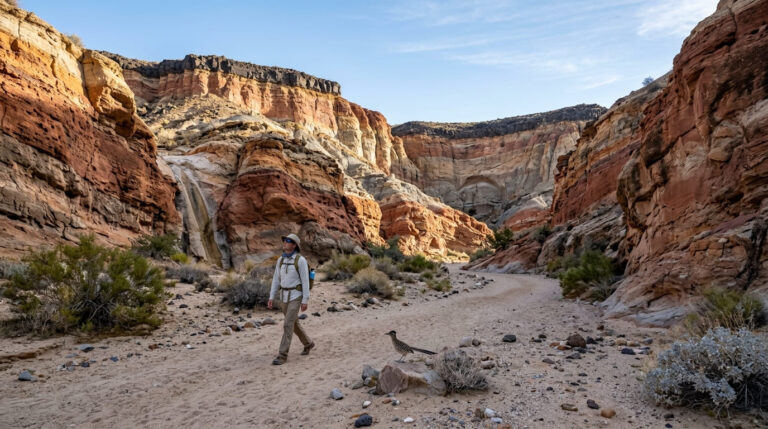
5 Best Canyon Hiking Trails in San Diego County, From a Waterfall Hike to a Slot Canyon Scramble
Canyon Hiking Trails in San Diego are the trails locals actually use on a random Tuesday no summit push required, no destination drive, just a green cut through the city that most visitors never notice. I picked five that show off just how different a “canyon hike” can look here: a seasonal waterfall, a Spanish-era dam, a coastal sage scrub corridor wedged between houses, and a slot canyon you climb out of on a metal ladder.
Disclosure: Please note that some of the links below are affiliate links and at no additional cost to you, I may earn a commission. Know that I only recommend hiking gear I personally stand behind; when you use my affiliate links, it helps me run this blog and keep all of this content free of charge for readers (like you).
Key takeaways
- Best flagship hike: Los Penasquitos Canyon Preserve a nearly flat canyon-floor trail to a genuine (seasonal) waterfall and a 200-year-old adobe.
- Best history-plus-nature combo: Oak Canyon and Mission Gorge in Mission Trails Regional Park, the Old Mission Dam and the San Diego River in one easy loop.
- Most convenient for a quick escape: Tecolote Canyon in Clairemont, a nature-center trailhead tucked directly into a residential neighborhood.
- Best for a fast, easy nature break near downtown: Florida Canyon in Balboa Park a native plant preserve two minutes from the San Diego Zoo.
- Most genuinely unique: Annie’s Canyon Trail at San Elijo Lagoon a narrow sandstone slot canyon with a fixed metal ladder exit.
- My rule for all five: go early. Canyon trails trap heat differently than open summits, and the popular ones (Penasquitos, Annie’s Canyon) fill their small lots fast on weekends.
How these five canyon trails compare
| Trail | Round-trip distance | Elevation gain | Difficulty | Best for |
|---|---|---|---|---|
| Los Peñasquitos Canyon (to the falls) | ~6-7 mi | ~200 ft | Easy–moderate | Family day hike, seasonal waterfall |
| Oak Canyon / Mission Gorge (Mission Trails) | ~3.3 mi | ~300 ft | Easy–moderate | History, easier alternative to Cowles |
| Tecolote Canyon (Clairemont) | ~3-4 mi (flexible) | Under 200 ft | Easy | Quick neighborhood escape |
| Florida Canyon (Balboa Park) | ~2 mi | ~250-280 ft | Easy | Native plants, zoo-adjacent |
| Annie’s Canyon (San Elijo Lagoon) | ~1.4-1.6 mi | Under 150 ft | Moderate (technical) | Slot canyon, ladder, novelty factor |
Los Penasquitos Canyon Preserve Trail
This is the flagship canyon hike in the county, and honestly the one I send most first-timers to. It’s a genuine year-round creek running through 4,000 acres of preserve, which is a rare thing to find inside city limits.
Trailhead access and parking at the Sorrento Valley or Black Mountain Road entrance
The east-end trailhead sits off Black Mountain Road near the historic adobe, with a small paid lot plus a free option at nearby Canyonside Community Park if you don’t mind a short walk in. The west-end access near Sorrento Valley and Mercy Road is the quieter entrance and generally has free roadside parking.
One thing to check before you go: this preserve had a wildfire-related closure in June 2026 after the Sorrento Valley fire, and while local hiking groups have resumed guided walks here as of this writing, some trail-condition sites were still showing an old closure flag call the park ranger office at (858) 538-8066 or check top picks for every skill level in this cluster for the latest before you commit to a drive out.
Difficulty, distance and elevation gain along the canyon floor
Plan on roughly 6 to 7 miles round trip to reach the waterfall, depending on which entrance you start from, with barely 200 feet of elevation gain across the whole route. It’s rated easy to moderate for one reason: the distance, not the terrain, which stays close to flat the entire way.
What you’ll see: a seasonal waterfall and the historic Penasquitos Adobe ranch house
At the west end, Penasquitos Falls drops over volcanic rock; it’s genuinely flowing after winter rain and can slow to a trickle or dry up by late summer. At the east end sits the Santa Maria de Los Penasquitos Adobe, one of San Diego’s oldest standing residences, with docent-led tours available on select days.
Best time to hike Los Penasquitos Canyon: after rain for the waterfall
If seeing actual water at the falls matters to you, plan your visit for January through April. By August, don’t expect much more than damp rock. I’ve hiked out here in late summer, and the “waterfall” was barely a trickle over dark stone.
Oak Canyon and Mission Gorge Trail (Mission Trails Regional Park)
If Cowles Mountain sounded like too much climbing, this is the gentler side of the same park, the same 8,000-acre Mission Trails Regional Park covered in our all-levels guide, just tracing the gorge floor instead of the summit.
Trailhead access and parking at the Old Mission Dam lot
Park directly at the Old Mission Dam lot off Father Junipero Serra Trail rather than the main Visitor Center; it’s the shorter, more direct trailhead, with restrooms on site. The lot gates close at 5 p.m. in winter and 7 p.m. in summer, so don’t get boxed in.
Difficulty, distance and elevation gain through Mission Gorge
Expect about 3.3 miles round trip with roughly 300 feet of elevation gain, rated easy to moderate, a genuinely gentler profile than Cowles Mountain’s constant climb, with flat stretches to recover between the rockier sections.
What you’ll see: the San Diego River gorge and historic Old Mission Dam
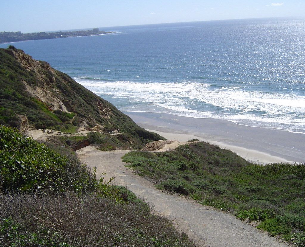
The Old Mission Dam is a National Historic Landmark, built in the early 1800s by Kumeyaay laborers to supply water to Mission San Diego de Alcalá one of the oldest irrigation structures in the western United States. From there, the trail follows the San Diego River past oak groves and, after rain, a couple of small seasonal waterfalls.
Best time to hike Mission Gorge: shaded sections help in summer
The riverside oak canopy gives this trail real shade in patches, which is more than you’ll get on most of the county’s exposed peak trails. I’d still start by mid-morning in summer, but this is a far more forgiving noon hike than Cowles Mountain ever will be.
Tecolote Canyon Natural Park Trail (Clairemont)
Tecolote is the trail I recommend to anyone who wants a real hike without a real drive. The trailhead sits inside a Clairemont neighborhood, not at the end of a fire road somewhere.
Trailhead access and parking at the Tecolote Canyon Nature Center
Free parking at the Nature Center on Tecolote Road puts you right at the trailhead, with restrooms and trail maps available inside. It’s the most convenient, no-planning-required access point of any trail in this guide.
Difficulty, distance and elevation gain on the Tecolote Canyon path
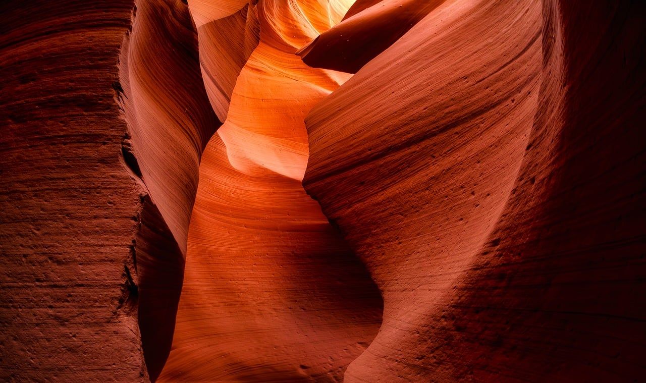
The main out-and-back from the Nature Center runs about 3 to 4 miles with well under 200 feet of gain, though the canyon’s side trails let you stretch that to 6 miles or more, or cut it to under 2 if you’re short on time. Rated easy across the board.
What you’ll see: coastal sage scrub in the middle of a residential neighborhood
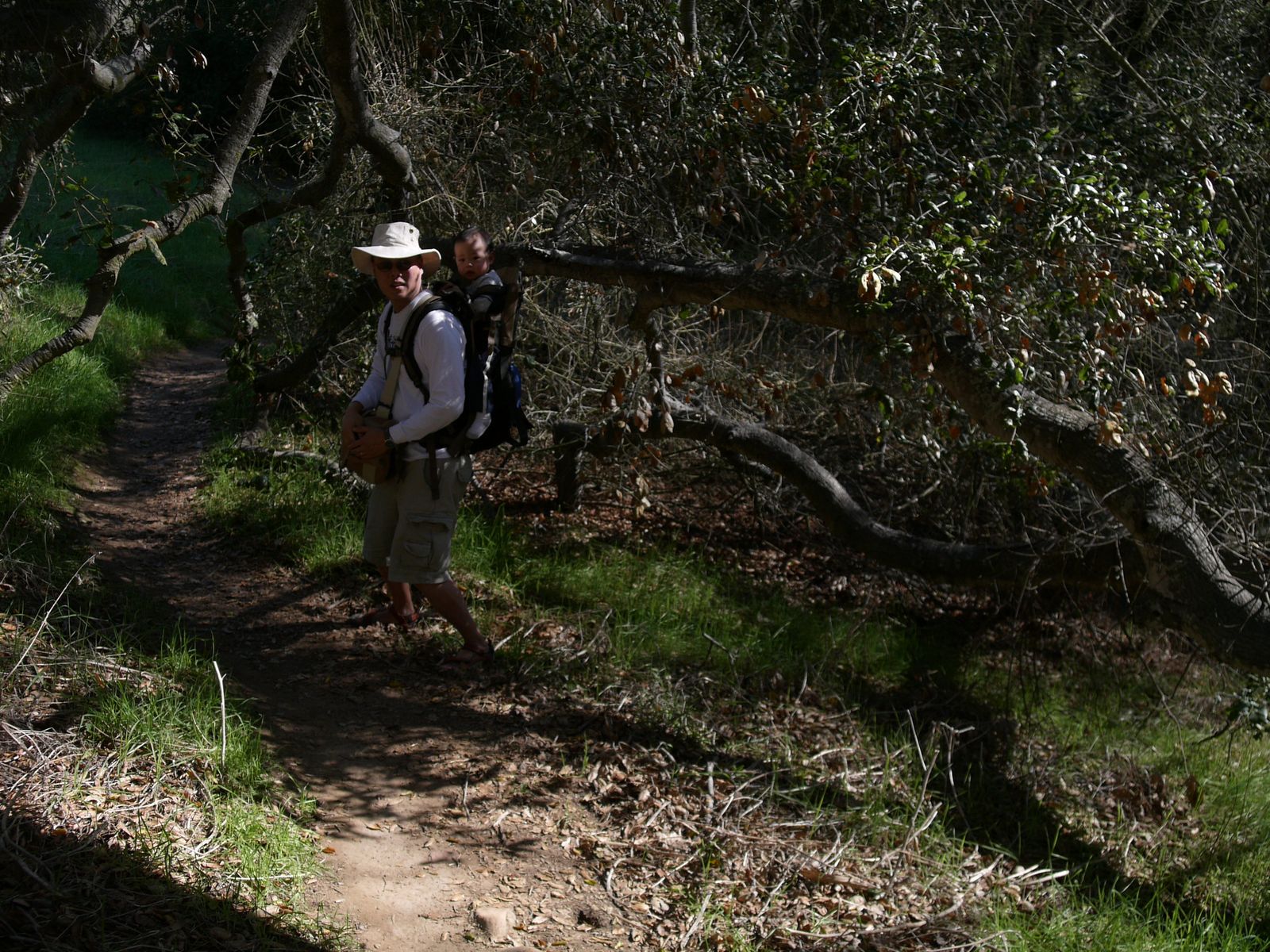
This is a genuinely intact wildlife corridor surrounded on every side by Clairemont and Bay Park homes, coastal sage scrub, a seasonal creek, and the kind of wildlife you don’t expect two minutes from a shopping center.
Best time to hike Tecolote Canyon: a convenient any-day urban escape
Because it’s low-elevation and close to home for most central San Diego residents, this is my go-to recommendation for a quick after-work walk rather than a planned trip. It’s open year-round with no real seasonal considerations.
Florida Canyon Trail (Balboa Park)
Florida Canyon sits in the middle of Balboa Park, wedged between the San Diego Zoo and the park’s cultivated gardens, and it’s easy to forget it’s there until you’re standing in it.
Trailhead access and parking near the San Diego Zoo and Florida Drive
Free street parking runs along Florida Drive, making this the most central, tourist-adjacent trailhead in this guide; you can genuinely pair it with a zoo day. There’s also a small native plant demonstration garden right by the parking area worth a quick look before you start.
Difficulty, distance and elevation gain on the Florida Canyon native plant loop
Budget about 2 miles round trip, with closer to 250-280 feet of elevation gain a bit more climbing than a 2-mile stroll suggests, thanks to a steady dirt-road pitch on the return. Still an easy hike overall, and a casual fit for Balboa Park’s broader visitor-friendly character.
What you’ll see: one of San Diego’s last native plant canyons
Florida Canyon protects one of the last intact stands of native coastal sage scrub inside the park, a real contrast to the cultivated rose gardens and museums just up the hill. It’s a genuinely different Balboa Park than the one on the postcards.
Best time to hike Florida Canyon: spring bloom in the native garden
Native buckwheat, sage, and wildflowers put on their best show from March through May. For golden hour instead, our sunset-view trails guide covers peak-top options with a bigger payoff than this canyon can offer.
Annie’s Canyon Trail (San Elijo Lagoon, Solana Beach)
I want to correct something upfront: this trail does not require a reservation or timed entry; it’s free, first-come parking, sunrise to sunset, same as the rest of San Diego’s open-space preserves. What it does require is a tolerance for tight spaces, since the signature feature is a genuine slot canyon squeeze.
Trailhead access and parking at the North Rios trailhead, Solana Beach
Park along North Rios Avenue near the cul-de-sac; it’s a residential street with limited free spots, so this lot-that-isn’t-really-a-lot fills early on weekends. The Solana Hills trailhead is a longer, steeper alternative if Rios Avenue is full.
Difficulty, distance and elevation gain through the slot canyon scramble
From North Rios, plan on roughly 1.4 to 1.6 miles round trip with well under 150 feet of gain, short by any measure, but rated moderate because the actual slot canyon section involves scrambling, tight squeezes, and a fixed metal ladder, not because of distance or climbing. If this kind of squeeze is what you’re after.
What you’ll see: a narrow slot canyon and ladder climb above San Elijo Lagoon
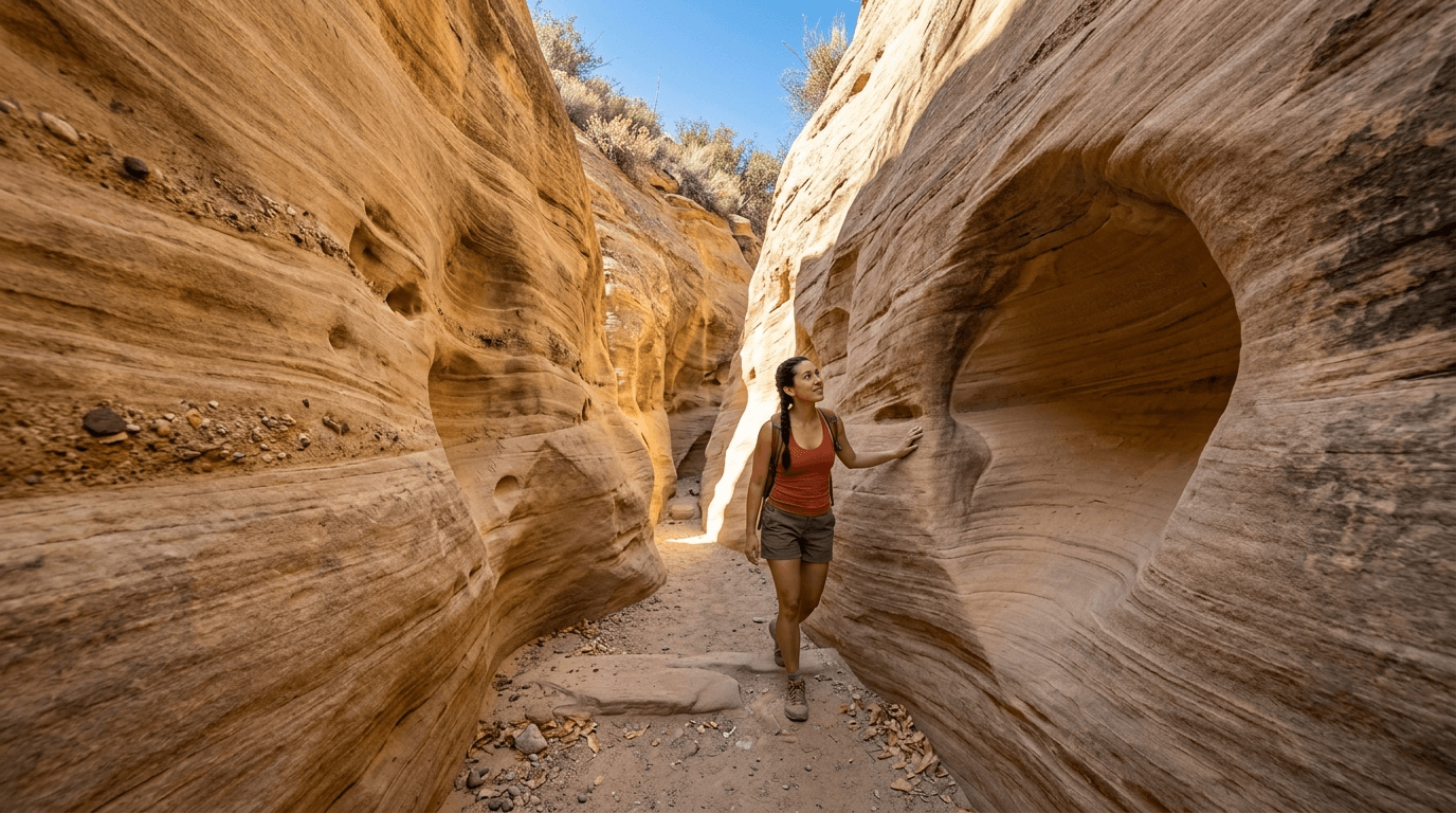
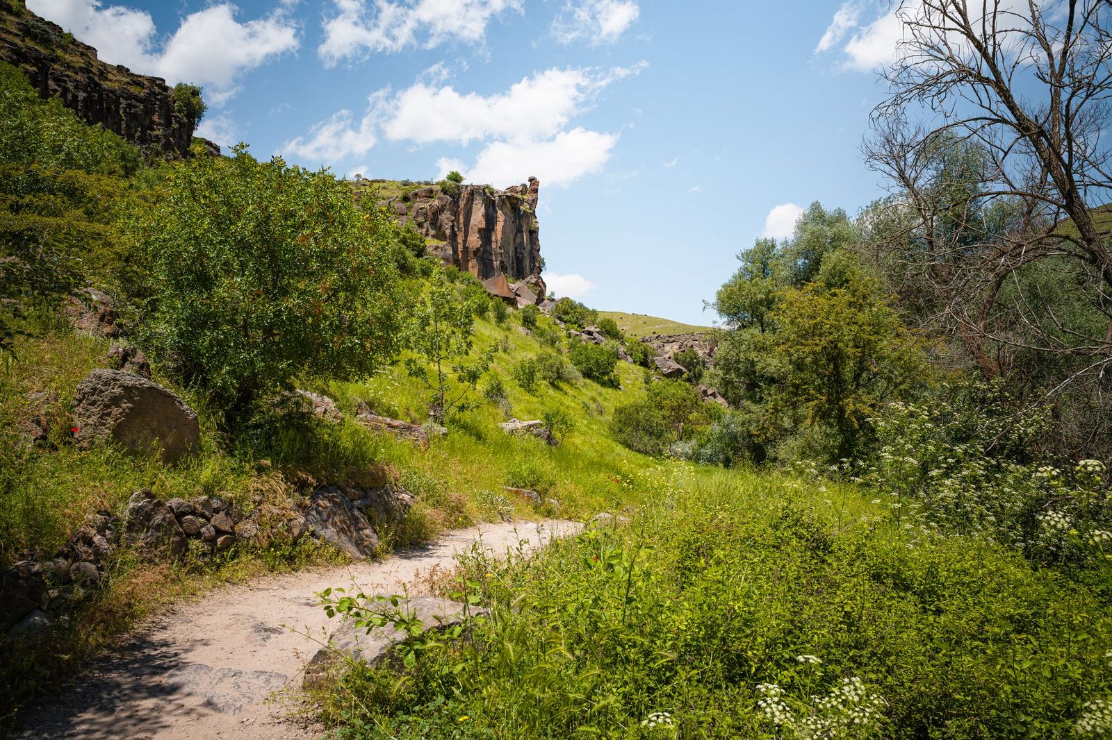
The slot itself is barely a quarter-mile long, a genuinely rare Southern California sandstone formation that narrows enough to require sideways squeezing in spots, plus a small “mushroom cave” along the way. It exits via a metal ladder to a lookout deck with views over the lagoon and, on a clear day, the Pacific, pairing well with a stop at our coastal trails guide if you want more ocean-adjacent hikes nearby.
Best time to hike Annie’s Canyon: go early to skip the squeeze line
Since the slot canyon is a narrow one-way passage, weekend crowds create real bottlenecks inside it, not just at the trailhead. Weekday mornings are dramatically better here than almost anywhere else on this list. Leashed dogs are welcome on the approach trails but aren’t allowed inside the slot canyon itself.
The bottom line
Start with Los Penasquitos if you want the classic San Diego canyon experience, or Tecolote if you just need forty-five minutes outside without planning a trip. Annie’s Canyon is worth the drive north specifically for the slot canyon novelty; nothing else on this list feels quite like it, though if that scramble hooks you, our desert trails guide covers slot canyons out in Anza-Borrego that take the same idea even further. Conditions can shift fast on these trails, especially Penasquitos after fire season, so check current status before you drive out. This guide is part of our full San Diego County hiking hub; see the hub for the rest of our county-wide coverage.
Frequently asked questions about canyon hiking trails in San Diego County
Is Mission Trails open for hiking?
Yes, Mission Trails Regional Park is open every day of the year, including the Oak Canyon and Mission Gorge trail covered above. The Visitor Center itself closes on Thanksgiving, Christmas, and New Year’s Day.
Is Annie’s Canyon Trail scary or claustrophobic?
The slot canyon section is genuinely narrow enough to require sideways squeezing in a couple of spots, and the ladder climb can feel exposed if you’re not used to scrambling. If tight spaces bother you, the switchback trail around the slot reaches the same lookout without the squeeze.
Is there always water at the Los Penasquitos Canyon waterfall?
No, it’s seasonal and rain-dependent. Expect real flow from January through April, and a dry or barely trickling fall by late summer most years.
Are San Diego’s urban canyon trails safe to hike alone?
Generally yes, especially the shorter, more populated ones like Tecolote and Florida Canyon. I’d still recommend the usual precautions after dark or on the more remote west end of Los Penasquitos, and note that all these preserves close at sunset.
Do you need a reservation to hike Annie’s Canyon?
No, despite what you may have read elsewhere, there’s no reservation or timed-entry system here. It’s free, first-come parking with no permit required, same as any other San Diego open-space preserve.
Which San Diego canyon trail is best for kids?
Florida Canyon and Tecolote Canyon are both flat, short, and forgiving for younger hikers. Save Annie’s Canyon for kids old enough to handle a real ladder climb and a genuine squeeze.