
Best Hiking Trails in Los Angeles, California
No other major US city packs this much hiking variety into one county: Pacific coastline, chaparral mountains rising straight out of Hollywood, and genuine 10,000-ft peaks, all within about 60 miles of downtown. The reputation of hiking trails in Los Angeles gets flattened into “Runyon Canyon and the Hollywood sign” online, which undersells a county with more than 500 miles of trail across 30-plus parks. Most visitors, and plenty of longtime residents, never make it past the same two or three trailheads everyone already knows about. Here’s the real map, zone by zone.
Disclosure: Please note that some of the links below are affiliate links and at no additional cost to you, I may earn a commission. Know that I only recommend hiking gear I personally stand behind; when you use my affiliate links, it helps me run this blog and keep all of this content free of charge for readers (like you).
Key takeaways:
- LA County has six distinct hiking zones: Santa Monica Mountains, San Gabriel Mountains/Angeles National Forest, Griffith Park, Malibu/Coastal, Palos Verdes Peninsula, and Antelope Valley/High Desert, each with genuinely different terrain and character.
- Most LA hiking is free; city parks, county parks, and NPS land require no fee or reservation, though Angeles National Forest trailheads and state parks are exceptions.
- The Angeles National Forest Adventure Pass costs $5/day or $30/year, required only when parking in a developed trailhead area, not for through-hikers using street parking.
- Griffith Park alone holds 53 miles of trail, including the most-searched hike in the entire county: the Hollyridge Trail to the Hollywood sign.
- Coastal, mountain, and desert hiking all sit within the same county, so weather and season matter more for trail choice here than almost anywhere else in California.
- Weekday mornings before 8 a.m. are a reliable way to beat crowds at LA’s most popular trails, especially Runyon Canyon and the Hollywood sign approach.
Related:
- Malibu Canyon Hiking Guide: Escondido Falls, Solstice & Zuma
- Trans-Catalina Trail & Catalina Island Backpacking Guide
- Hollywood Sign Hiking Guide: Trails, Rules & Parking
- Runyon Canyon Hiking Guide: Trails, Trailhead Gates & Parking
- 5 Best Hiking Trails in Los Angeles: Runyon Canyon, Griffith Park & More
- 5 Best Hiking Trails in the San Gabriel Mountains, Los Angeles County
- 5 Best Coastal Hiking Trails in Los Angeles County: Malibu to Palos Verdes
- 5 Best Hidden Gem Hiking Trails in Los Angeles County
- 5 Best Waterfall Hiking Trails in Los Angeles County
Why Los Angeles County has more hiking diversity than any other US city
LA County’s geography does something almost no other major American city can claim: a Pacific coastline, the Santa Monica Mountains, the San Gabriel Mountains, and genuine high desert all sit within 60 miles of downtown, connected by more than 500 miles of trail across 30-plus parks and open space systems. Most cities offer one dominant hiking character; LA offers at least six, each with its own microclimate, crowd pattern, and best season.
Los Angeles County’s six distinct hiking zones
The Santa Monica Mountains run along the county’s western edge, from Griffith Park’s eastern tip through Topanga and Malibu, and function as the backbone of LA’s mountain-hiking identity. The San Gabriel Mountains and Angeles National Forest dominate the north, holding LA’s highest peaks and its most genuinely remote-feeling terrain despite sitting just north of the urban sprawl.
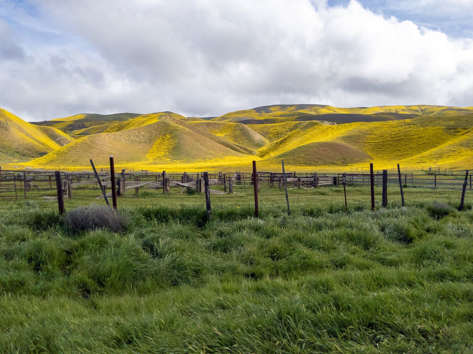
Griffith Park itself functions almost as a seventh zone given its size and trail density, distinct enough from the rest of the Santa Monica range to deserve its own section below.
Malibu and the broader coastline add ocean-view hiking distinct from the mountain interior, the Palos Verdes Peninsula offers dramatic coastal bluffs in the South Bay that most visitors never think to visit, and Antelope Valley in the high desert delivers an entirely different, wide-open landscape less than an hour from the urban core, genuinely useful for escaping coastal fog or summer heat depending on the season.
Best hiking trails in Griffith Park, Los Angeles
Griffith Park is the largest urban park with real mountain terrain in the entire country, and its trail network is dense enough to fill a full weekend without repeating a route. It’s also the most-searched hiking destination in LA County by a wide margin, and for good reason: it offers genuine mountain hiking, city views, and the Hollywood sign, all within the urban core.
Griffith Park trail to the Hollywood sign: the most iconic LA hike
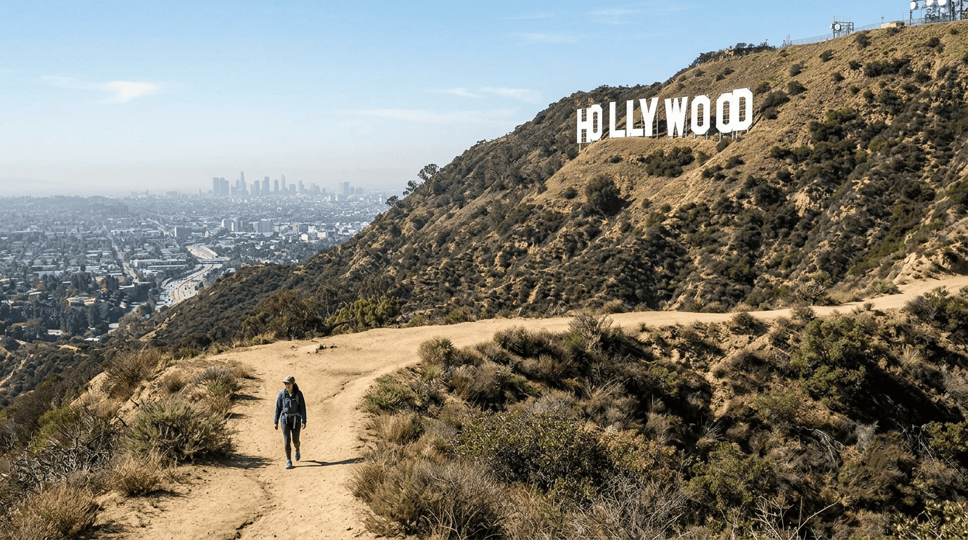
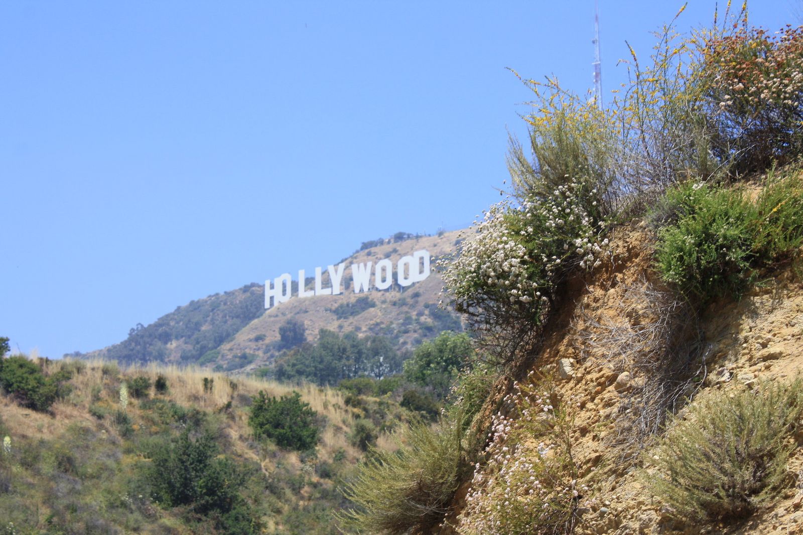
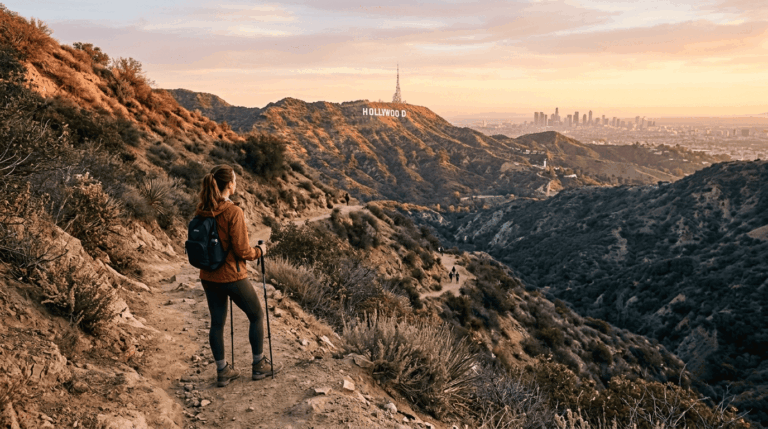
The Hollyridge Trail runs 6 miles round trip with about 750 ft of elevation gain, starting at Beachwood Canyon and climbing to the best legal viewpoint of the Hollywood sign. Closer approaches exist but are fenced off and enforced. It’s free, requires no reservation, and dogs are allowed on leash. Go on a weekday morning if you want the trail to yourself, since weekends draw serious crowds by mid-morning and parking in Beachwood Canyon’s residential streets fills up fast.
Griffith Observatory loop trails: best hiking with city views in LA
Multiple routes approach the Observatory, from the short 1.2-mile Berlin Forest trail to the fuller 5-mile Mount Hollywood loop and the Charlie Turner Trail, giving hikers a real range of effort levels to choose from depending on time available.
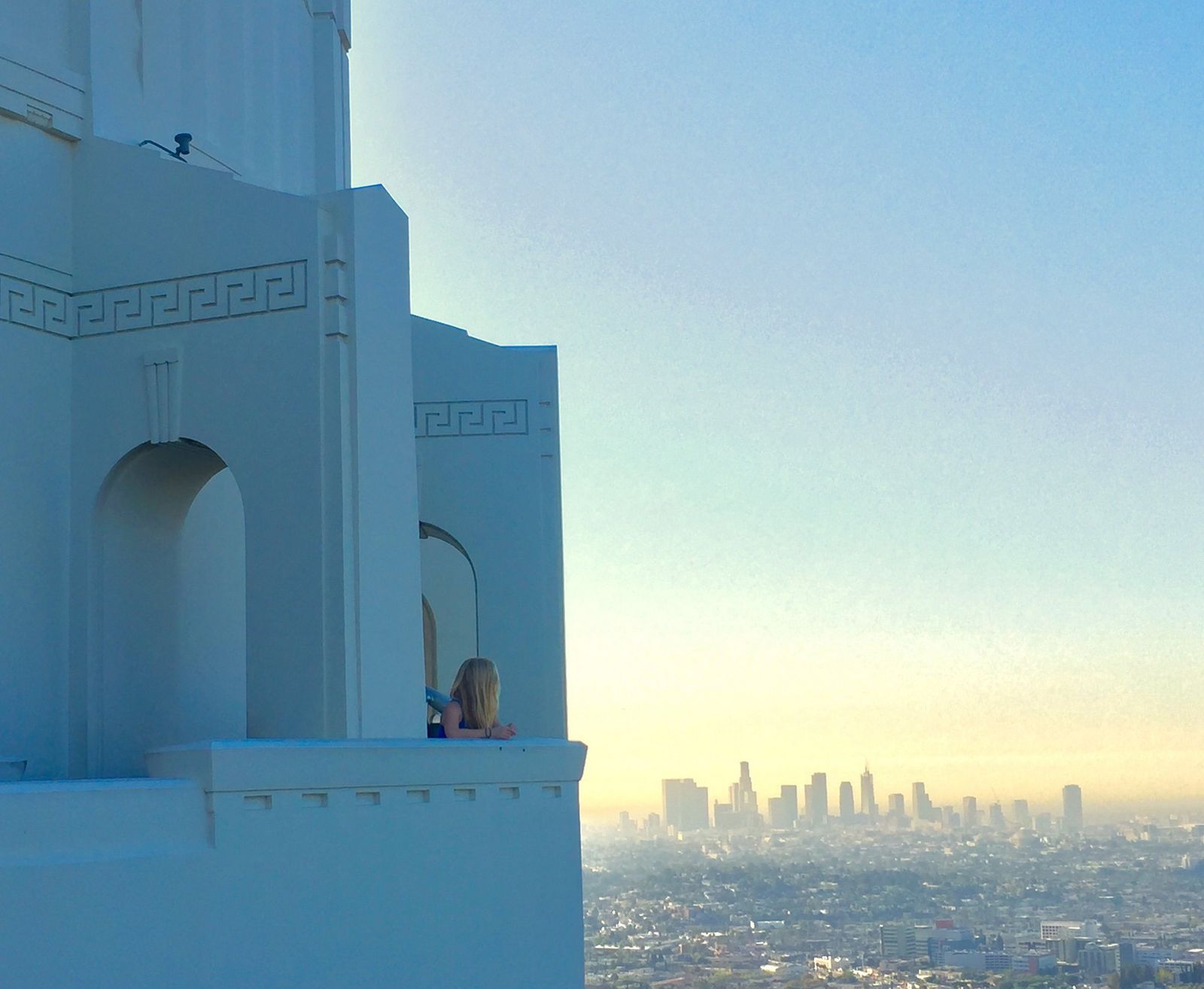
No permit is needed for any of them, and dawn light on the city skyline is widely considered the best time to catch the view, both for photography and for avoiding the crowds that build through the day.
Best hiking trails in the Santa Monica Mountains, Los Angeles
The Santa Monica Mountains National Recreation Area covers roughly 150,000 acres and more than 500 miles of trail straddling the LA/Ventura county line. The range’s western half spills directly into the hiking trails in Ventura County, worth exploring as a single trip if you’re already out this way. This is the backbone of LA’s mountain hiking identity, anchored by the 67-mile Backbone Trail connecting most of the range’s major parks end to end.
Multiple free access points mean you rarely need to drive far from anywhere in the western part of the county to reach a genuine trailhead.
Runyon Canyon: Los Angeles’s most popular off-leash dog hiking trail
A 3.5-mile loop with about 800 ft of gain in the Hollywood Hills, genuinely harder than its casual reputation suggests, with a popular off-leash dog area and real celebrity-sighting cachet.
It’s free with no reservation required, but gets crowded fast on weekends; before 8 a.m. is the reliable window for a quieter hike. This trail is covered in more depth as a beginner destination elsewhere on this site, with the same core stats.
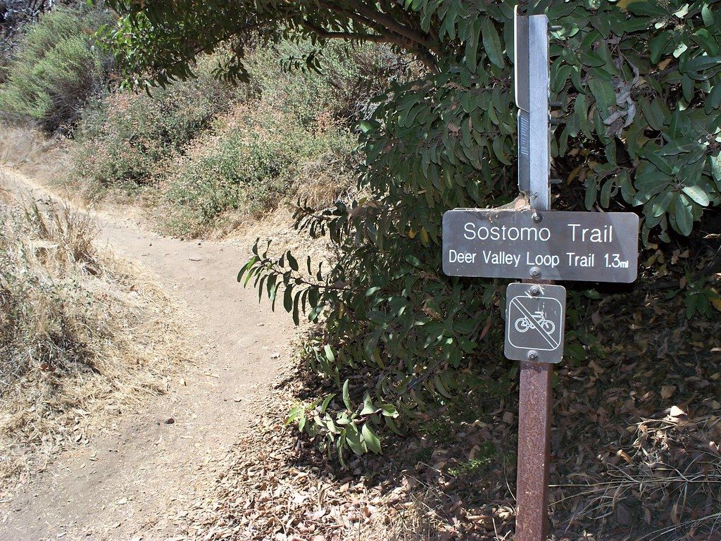
Solstice Canyon Trail: Malibu’s best hidden gem hike in LA County
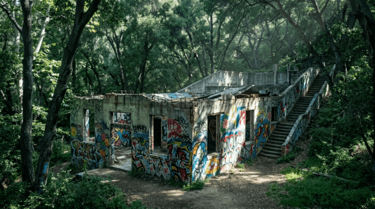
A 2.7-mile round trip with about 200 ft of gain along a year-round stream, passing the ruins of the historic Rising Sun House. It’s part of the same Santa Monica Mountains NRA system as Runyon Canyon, free, shaded, and requires no reservation genuinely one of the more forgiving Malibu-area hikes even in warmer months.
Topanga State Park: the wild heart of Los Angeles hiking
Topanga holds 36 miles of trail and is the largest state park within the city limits of any major US city, anchored by the 8-mile Eagle Rock Loop and the shorter 2.7-mile Santa Ynez Canyon route.
Goats are used seasonally to clear fire fuel across parts of the park, a genuinely distinctive sight if your timing lines up with their grazing rotation. Most trails are free, but a few trailheads require a reservation; check current status before you go, since this can change seasonally with fire risk and maintenance schedules.
Best hiking trails in the San Gabriel Mountains, Los Angeles County
Angeles National Forest covers roughly 700,000 acres north of the urban core, holding LA County’s highest peaks and requiring its own separate permit system distinct from the county and city parks below. This is where LA hiking stops feeling like a city park and starts feeling like genuine mountain wilderness, sometimes within a 40-minute drive of downtown.
Mount Wilson Trail: the San Gabriel Mountains’ most historic hike
A genuinely strenuous 14.8-mile round trip from Sierra Madre with about 4,800 ft of gain to a 5,710-ft summit, following the original 1890s trail to the historic summit observatory that still operates today.
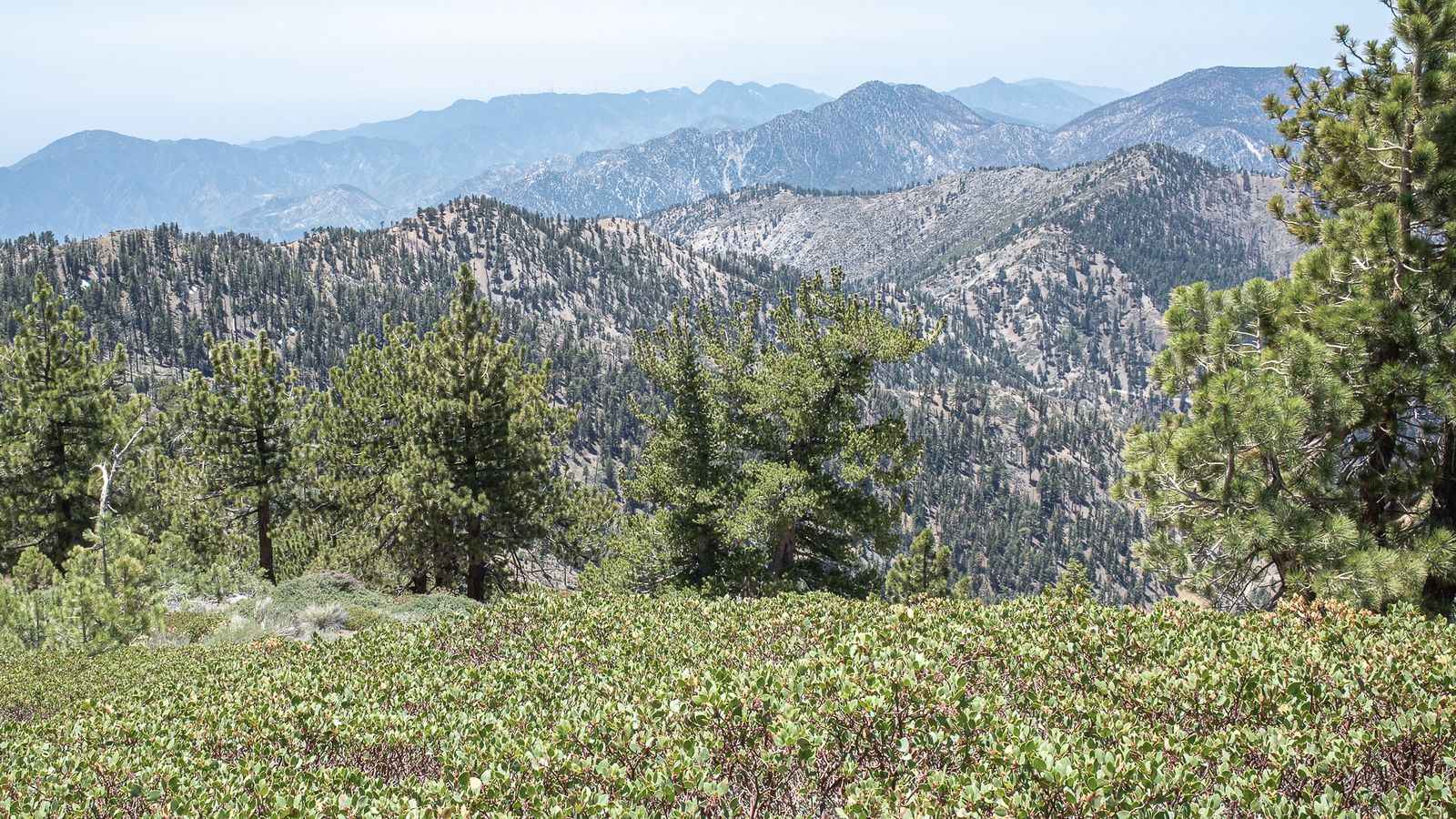
This is where LA hikers ready to move beyond Griffith Park and Runyon Canyon typically go to acclimate to real mountain mileage and elevation gain, treating it as a genuine test of readiness for bigger Sierra Nevada objectives, not a casual weekend add-on.
Switzer Falls Trail: best waterfall hike in the San Gabriel Mountains
A 4.6-mile round trip with about 700 ft of gain through a shaded canyon descent to a seasonal waterfall, best flowing in spring, with genuine swimming holes along the way in the right season.
An Adventure Pass is required at the Switzer Picnic Area trailhead, and the shaded canyon terrain makes this one of the more comfortable San Gabriel hikes to attempt even on a warmer day.
Best coastal hiking trails in Los Angeles County
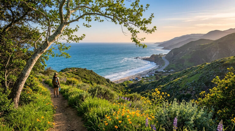
LA’s coastline runs from Malibu’s cliffs down through Palos Verdes, and the hiking along it trades mountain elevation for genuine ocean views and tide-dependent terrain, a completely different pace and payoff than the county’s mountain trails.
Point Dume State Preserve: Malibu’s best coastal bluff hike
A short 0.4-mile trail to a dramatic bluff viewpoint, with whale watching from December through March and sea cave access at low tide for anyone willing to time their visit around the tide chart.
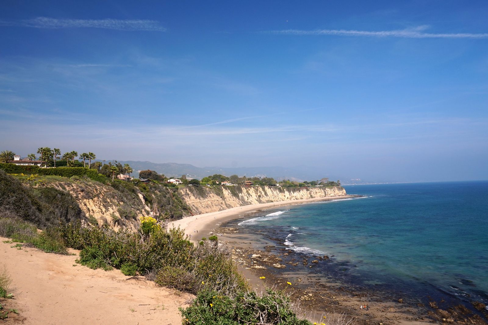
Parking is at Zuma Beach, access is free, and the surf views from the bluff top are some of the most dramatic on the entire LA coastline for the effort required; this is a legitimate contender for the best view-to-effort ratio in the whole county.
Temescal Canyon in Pacific Palisades, Abalone Cove on the Palos Verdes Peninsula, and the Ballona Wetlands in Playa del Rey round out other strong coastal options across the county, each offering a genuinely different flavor of shoreline hiking. That coastline keeps going south past the county line into the hiking trails in Orange County, where Crystal Cove picks up almost exactly where Palos Verdes leaves off.
Los Angeles County hiking permits and trail access guide
Most LA County hiking is genuinely free; city parks, county parks, and NPS-managed Santa Monica Mountains land require no fee or reservation for standard day hiking.
The real exceptions are Angeles National Forest, which uses the Adventure Pass system, and state parks, which typically charge an $8–$12 day-use fee. Knowing which category a given trailhead falls into ahead of time saves an unnecessary citation or a wasted trip.
Angeles National Forest Adventure Pass: what it is and when you need it
The Adventure Pass costs $5 for a day or $30 for the year, and it’s required for parking at most developed Angeles National Forest trailheads, Switzer Picnic Area and Chantry Flats among them. The America the Beautiful interagency pass is accepted in place of it, and it’s available at REI, other outdoor retailers, and online, so there’s no need to hunt for a specific vendor near your trailhead.
Through-hikers who park on street parking outside a designated fee area technically don’t need one, though checking current signage at your specific trailhead is the safest way to avoid a citation, since enforcement varies by location and season.
Los Angeles doesn’t get enough credit as a hiking destination specifically because its best trails are scattered across six genuinely different landscapes instead of concentrated in one obvious place.
Pick your zone based on what you actually want: city views, mountain elevation, or ocean bluffs, and bring the right gear for whichever terrain you land on, since coastal fog and San Gabriel heat can call for completely different kits on the same weekend.
Few counties in the entire country offer this much genuine variety within a single tank of gas, whether you’re a first-time visitor, a senior hiker looking for flatter terrain, or a local chasing a new zone you haven’t tried yet.
Frequently asked questions about hiking trails in Los Angeles County
Where should I go hiking in Los Angeles?
It depends on what you want: Griffith Park for iconic city and Hollywood sign views, the Santa Monica Mountains (Runyon Canyon, Topanga) for classic LA hiking close to the urban core, or the San Gabriel Mountains for real elevation and waterfalls. First-time visitors usually start with Griffith Park simply because it’s the most central and requires the least planning.
Are hiking trails open in Los Angeles County right now?
Most are, but closures happen seasonally for fire risk, storm damage, or trail maintenance. Check the specific park or forest’s current alerts page before heading out, especially after recent rain or during red-flag fire warnings, since a trail that was open last weekend can close with little notice during fire season.
Is Griffith Park hiking free?
Yes, Griffith Park’s trails are free with no reservation required, including the popular Hollyridge Trail to the Hollywood sign.
Are dogs allowed off-leash at Runyon Canyon in Los Angeles?
Yes, in designated off-leash areas of the park, it’s one of the only major LA hiking trails with this policy, which is part of why it’s so popular with dog owners specifically.
Do I need a permit to hike in the Angeles National Forest?
Not to hike itself, but you’ll need an Adventure Pass ($5/day or $30/year) to park at most developed trailheads. Through-hikers using street parking outside a fee area generally don’t need one.
What are the best hiking trails in Los Angeles for beginners?
Solstice Canyon and the easier Griffith Observatory approach trails are both genuinely beginner-friendly, flat to gently rolling, well-marked, and short. Runyon Canyon is popular with beginners too, but its 800 ft of gain is more demanding than its reputation suggests.


Love the LA trail breakdowns! Really appreciate all the detail you put into this. Cheers!