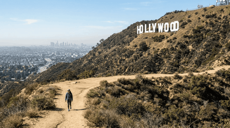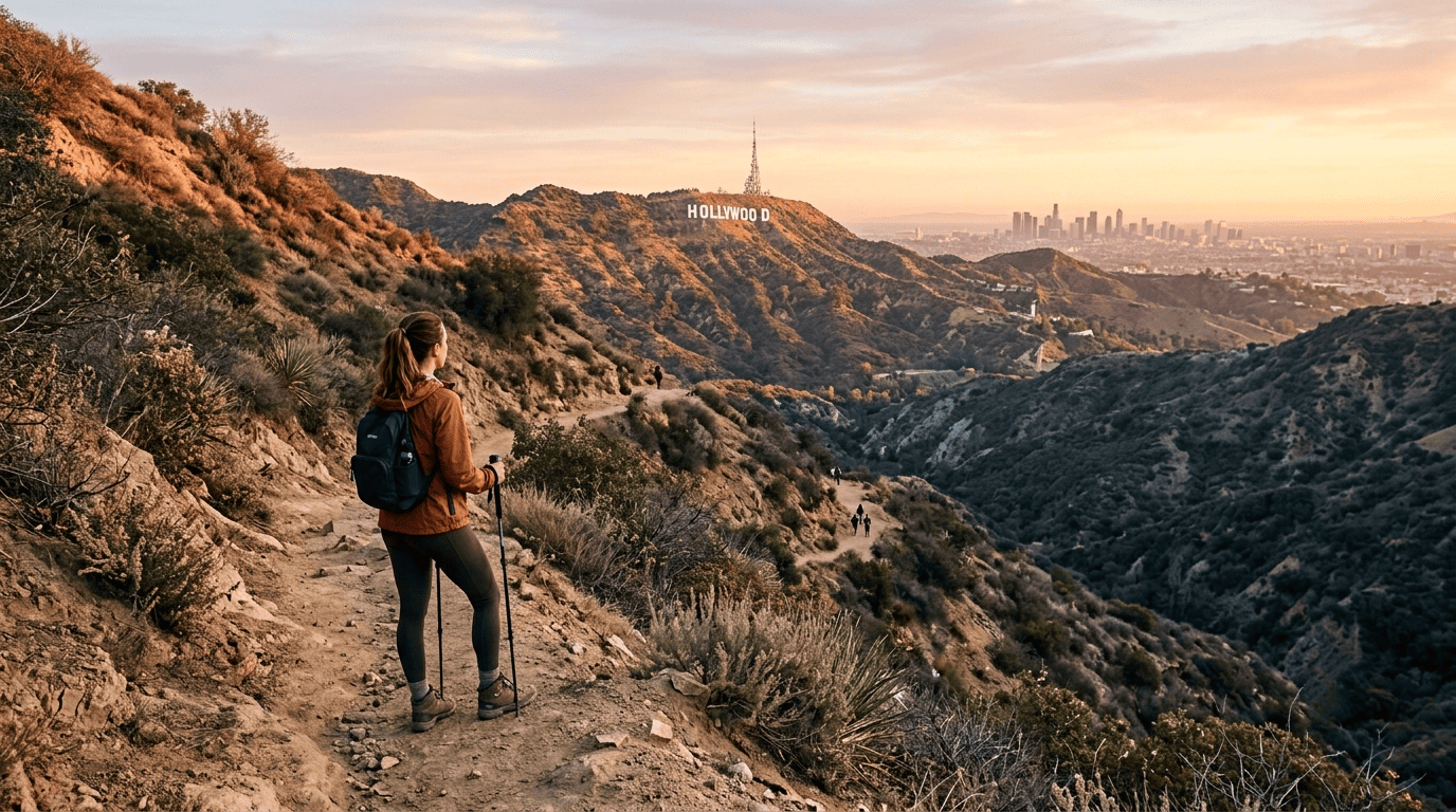
The 5 Best Hiking Trails in Los Angeles, From Runyon Canyon to the Hollywood Sign
If you’ve only got a weekend in LA and one question, “which trail actually deserves my time?”, here’s the short answer: start with Runyon Canyon for the fastest payoff, do Griffith Park’s Mount Hollywood Trail for the single best photo of the city, and save the Hollywood Sign hike for a morning with no meetings after. Los Angeles is a strange hiking city: some of the most-searched trails in the country sit inside a metro area of four million people, so the crowds are real, and so is the payoff.
Disclosure: Please note that some of the links below are affiliate links and at no additional cost to you, I may earn a commission. Know that I only recommend hiking gear I personally stand behind; when you use my affiliate links, it helps me run this blog and keep all of this content free of charge for readers (like you).
This guide covers five of the best hiking trails in Los Angeles: Runyon Canyon, Griffith Park, the Hollywood Sign, Bronson Canyon, and Baldwin Hills Scenic Overlook. They’re not all equally good for every hiker. But each one earns its spot for a specific reason, and I’ll tell you exactly what that reason is.
Key takeaways
- Fastest payoff-to-effort ratio: Runyon Canyon, a short, steep climb and you’re looking at the Hollywood Sign and the whole LA basin inside 30 minutes.
- Best single photo: Mount Hollywood Trail in Griffith Park, especially near sunset with the Observatory dome in frame.
- Only trail that gets you legally behind the sign: the Hollywood Sign hike via Brush Canyon Trail, 6.4 miles round trip, and worth every one of them.
- Shortest hike on this list, and the strangest: Bronson Canyon’s “Bat Cave,” a real 1960s Batman TV filming location you can walk to in under 15 minutes.
- Best workout-to-view ratio: Baldwin Hills Scenic Overlook’s 282-step staircase, which somehow feels harder than its short distance suggests.
- None of these require an Adventure Pass. That’s a National Forest requirement for trailheads further out in the San Gabriel Mountains, every trail here sits inside a city, county, or state park with free trail access.
Quick-glance comparison
| Trail | Distance (RT) | Elevation Gain | Difficulty | Best For |
|---|---|---|---|---|
| Runyon Canyon Park Loop | 1.9–3.5 mi | ~500–900 ft | Moderate | Speed and skyline views |
| Mount Hollywood Trail | 2.6–5.2 mi | ~600–1,100 ft | Moderate | The best single photo |
| Hollywood Sign via Brush Canyon | 6.4 mi | ~1,050 ft | Moderate–Hard | Standing behind the letters |
| Bronson Canyon “Bat Cave” | 0.7 mi | ~50 ft | Easy | Kids, beginners, film buffs |
| Baldwin Hills Scenic Overlook | 1.3–1.5 mi | ~300–450 ft | Moderate | A serious stair workout |
If you’re not sure how I’m scoring “moderate” versus “moderate-hard” here, I break the whole system down in my guide to reading hiking difficulty levels, it’s worth a read before you commit to the full Hollywood Sign push.
Runyon Canyon Park: LA’s busiest loop trail, and it’s busy for a reason
Runyon sits two blocks north of Hollywood Boulevard, which tells you almost everything about why 1.8 million people hike it every year. My honest take: it’s not a wilderness experience, and it was never trying to be one. It’s a fast, steep, social workout with a legitimately great payoff at the top.
Where to park: Fuller Avenue, Vista Street, or the quieter Mulholland entrance
There’s no on-site lot. You’ve got three real entrances, Fuller Avenue and Vista Street on the south side, both two blocks off Hollywood Boulevard, and Mulholland Drive on the north side. Parking is free street parking only, and it fills fast on weekends. My rule: arrive before 8 a.m., or skip driving entirely, the Metro Red Line’s Hollywood/Highland stop is a 10-minute walk from Fuller.
How long is the Runyon Canyon hike? 1.9 to 3.5 miles, depending on how much you want
Stick to the paved Fuller Avenue fire road, and you’ve got a 1.9-mile out-and-back with about 500 feet of gain. Combine the Star Trail and the notoriously steep Hero Trail on the west ridge, and you’re looking at a 3.3-3.5-mile loop with closer to 800-900 feet of climbing. The dirt sections get loose on the descent, one of the more common spots in LA for a rolled ankle.
What you’ll see: the Hollywood Sign, DTLA skyline, and LA’s most famous off-leash dog park
Roughly 90 of the park’s 160 acres are set aside for off-leash dogs, which is a big part of why this trail has its own culture. Push up to Inspiration Point or Clouds Rest, and you’ve got the Hollywood Sign to the north, downtown LA to the southeast, and on a clear day, Santa Monica Bay to the west.
Best time to hike Runyon Canyon: early and on a weekday
There’s almost no shade, so summer afternoons are rough. As of mid-2026, part of the West Trail has a reported partial closure, check LA Parks’ current alerts before you go.
Griffith Park’s Mount Hollywood Trail: the observatory hike locals actually do
Griffith Park is enormous, 4,300-plus acres, and Mount Hollywood Trail is what most people mean when they say “let’s hike Griffith Park.” I’d pick this over Runyon if you want fewer crowds and a longer payoff, not a faster one.
Trailhead access: Fern Dell versus the Observatory
Fern Dell, off Western Canyon Road, has the better parking and a shaded start through a small fern-lined nature trail. Starting from the Observatory gets you a shorter climb but a pricier, more crowded lot. Either way, Griffith Observatory’s page confirms the grounds and trails are generally open daily even when the building keeps shorter hours.
Difficulty, distance, and elevation gain to Mount Hollywood’s summit
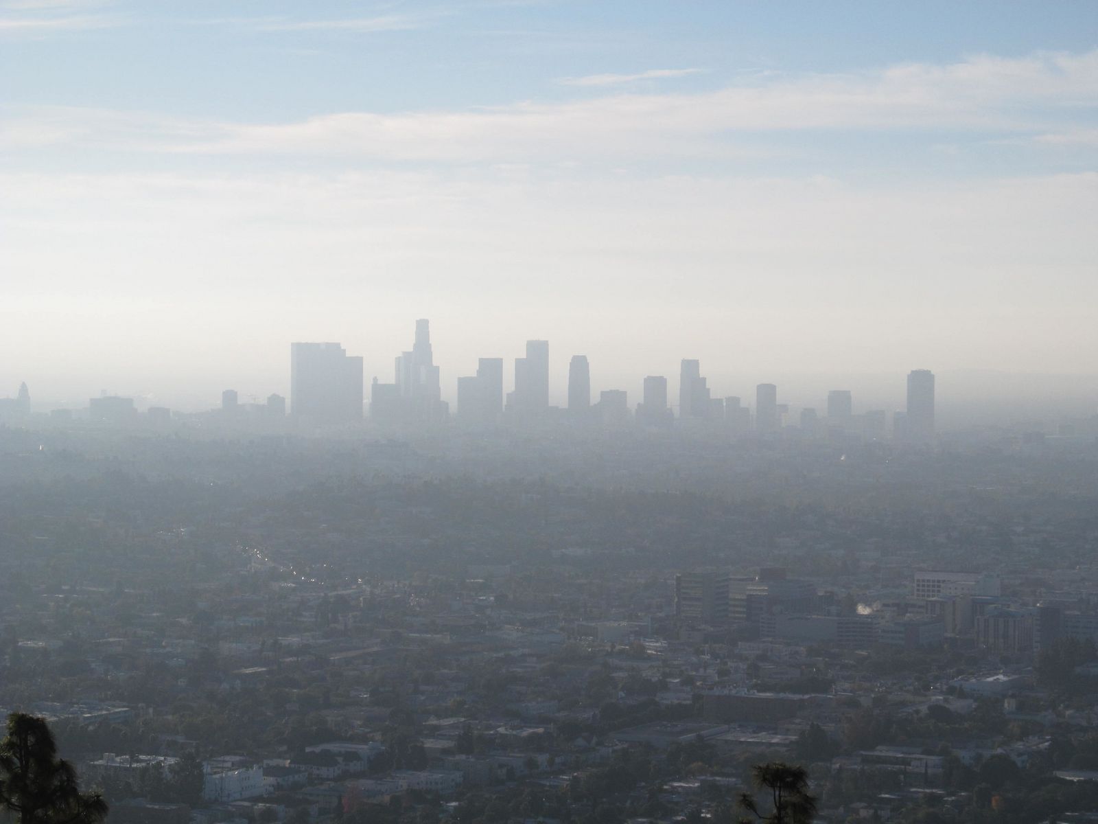
The short version, a loop from the Observatory lot, runs about 2.4–2.6 miles with 500–600 feet of gain. Push from Fern Dell to the actual 1,625-foot summit, and you’re closer to 5–5.2 miles round trip with 1,000–1,100 feet of climbing.
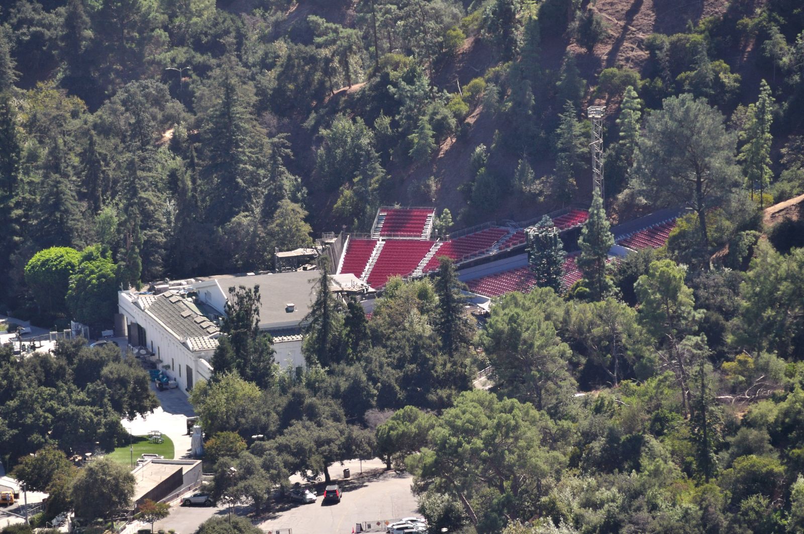
What you’ll see: the Observatory dome, the Hollywood Sign, and downtown from a different angle
This is the trail I send people to for the single best photograph in the city: the Observatory’s Art Deco dome in the foreground, the Hollywood Sign catching light behind it, and the whole LA basin dropping away below.
Best time to hike Mount Hollywood: 90 minutes before sunset
The Observatory grounds run until 10 p.m., weekends included, so you can time this for golden hour and stay through the city lighting up after dark.
The Hollywood Sign hike via Brush Canyon Trail: yes, you can actually get there
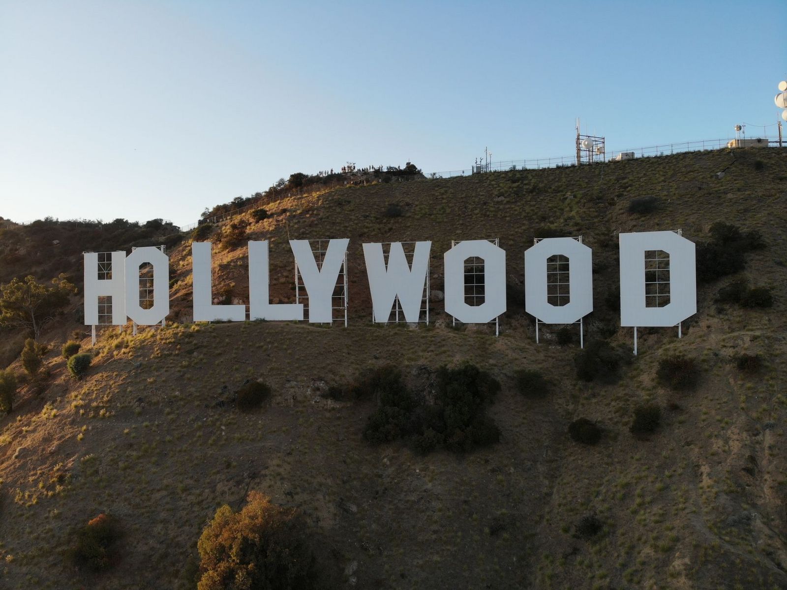
I get some version of “is this even legal?” more than any other question about this hike. Short answer: yes, but only on the marked trail to the ridge above the sign, you can’t reach the letters themselves, and a fenced perimeter and an LAPD presence make sure of it.
Where to park: Canyon Drive has its own lots, skip the Beachwood Canyon mess entirely
The official Brush Canyon trailhead sits at the end of Canyon Drive, off Franklin Avenue, with two to three dedicated parking areas that are free or close to it. That’s genuinely good news, because the other popular approach, through the Beachwood Canyon neighborhood, has been a headache since the city turned most of those residential streets into a Preferential Parking District in 2015, and closed the Beachwood Drive gate to public entry entirely in 2017. Start from Canyon Drive instead.
Difficulty, distance, and elevation gain to the Hollywood Sign viewpoint
It’s a 6.4-mile round trip with about 1,050 feet of gain to the summit of Mount Lee, directly above and behind the sign. Budget three hours, and minimal shade the whole way; not a trail I’d start after 10 a.m. in summer.
What you’ll see: the closest legal view of the Hollywood Sign, from behind it
At the top, you’re standing on Mount Lee looking down at the back of the letters with the entire city spread out beyond them, one of the better views in Southern California, and one almost nobody sees because they assume the hike is shorter or harder than it is.
Best time to hike the Hollywood Sign Trail, and the parking rules to actually know
Early morning, full stop, for the heat, not the crowds. And again: park at Canyon Drive, not Beachwood Canyon, unless you enjoy reading permit-parking signage for fun.
Bronson Canyon’s “Bat Cave”: the shortest hike on this list, and the strangest
This one barely counts as a hike, and I mean that as a compliment. It’s a quarter-mile from the trailhead to a genuine piece of TV history, my go-to recommendation for kids or a first-time visitor who wants a payoff without the effort.
Trailhead access and parking on Canyon Drive
Bronson Canyon shares its general trailhead area with the Brush Canyon/Hollywood Sign trail, but it’s a distinct, much shorter spur; don’t confuse the two when planning your day.
Difficulty, distance, and elevation gain on the Bronson Cave Trail
About 0.7 miles round trip with roughly 50 feet of elevation change, close to flat as hiking in LA gets, and a trail I’d genuinely recommend for accessible hiking if you’re planning around limited mobility or a stroller.
What you’ll see: a real 1960s Batman filming location
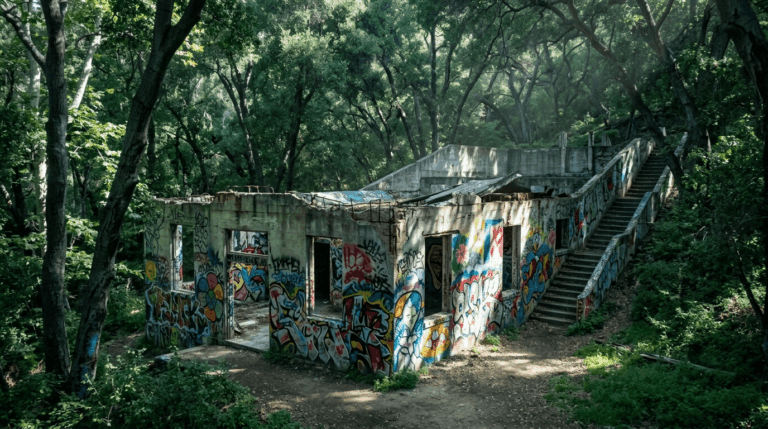
The tunnel carved into this old quarry wall played the entrance to the Batcave in the 1966 Adam West “Batman” TV series, along with dozens of Westerns and B-movies going back to the 1920s. As of mid-2026, the tunnel itself is fenced off for falling-rock risk; you can still walk the short approach and view it from outside the fencing, but check current conditions first.
Best time to hike Bronson Canyon with kids and beginners
Any time of day works; there’s more canyon shade here than Runyon or the Hollywood Sign trail gets, and the short distance keeps heat from ever being a real concern.
Baldwin Hills Scenic Overlook: 282 steps to one of the best 360° views in the city
This is the odd one out on this list: no canyon, no famous sign, just a very well-known set of stairs that locals treat like a stadium workout. I’d send serious fitness hikers here before I’d send casual sightseers.
Trailhead access and parking at the overlook
The trail starts at Jefferson Boulevard and Hetzler Road in Culver City. There’s a small on-site lot charging around $6, or free street parking nearby if you don’t mind a short walk in.
Difficulty, distance, and elevation gain on the stair climb
The staircase itself is 282 steps, confirmed by the park’s own signage. Depending on whether you do the stairs, the winding Hillside Trail, or both, the total distance runs 1.3–1.5 miles round trip with 300–450 feet of gain, a genuinely tough little workout for how short it looks on paper.
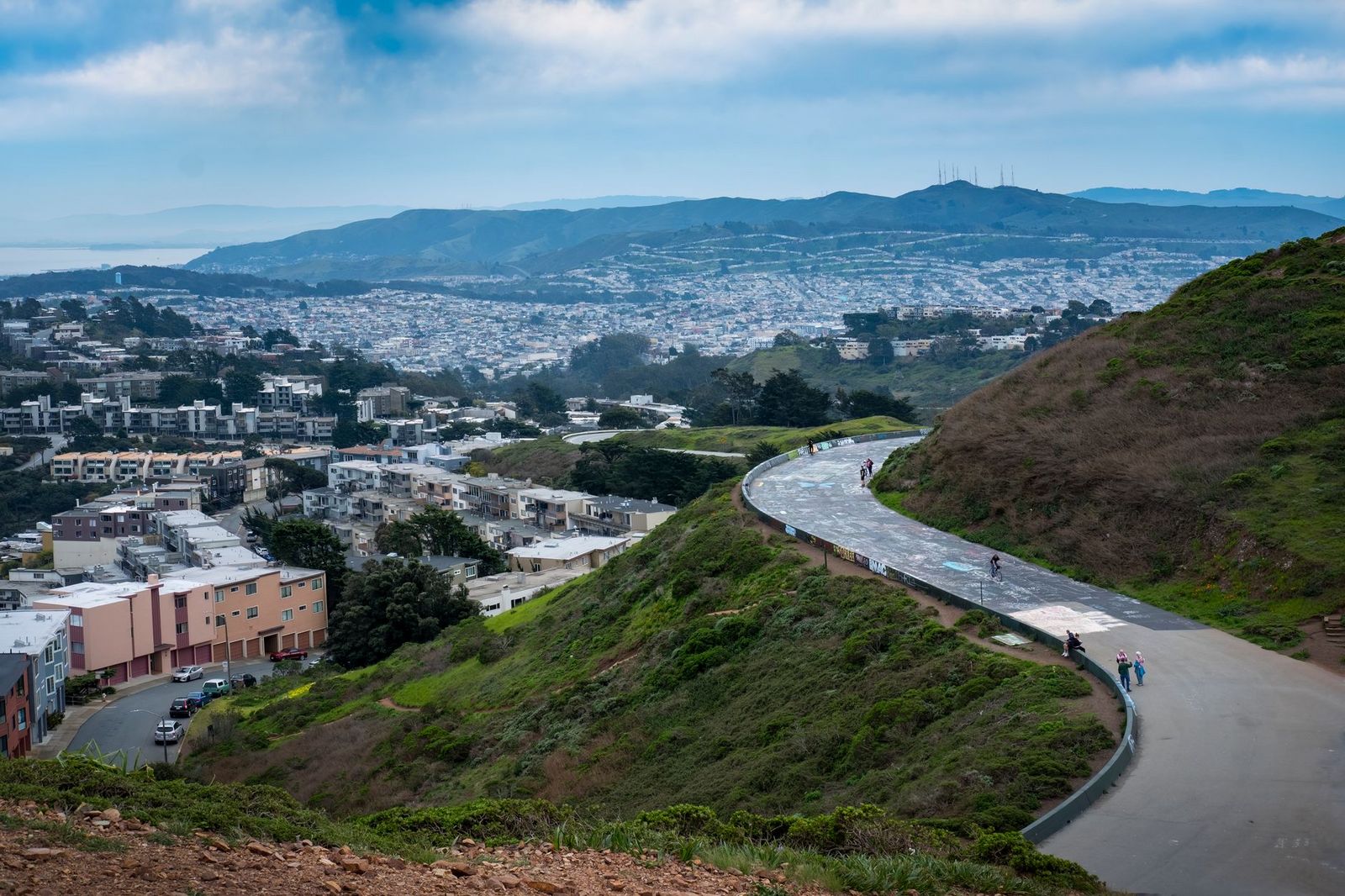
What you’ll see: a 360-degree view from downtown LA to the Pacific
On a clear day, you get downtown LA, the Hollywood Hills, Century City, and the Pacific Ocean in a single sweep, a rare combination this close to the city. If you’d rather trade elevation for actual sand and surf, my guide to the best coastal trails between Malibu and Palos Verdes is the next stop.
Best time to hike Baldwin Hills for clear-day visibility
Morning, after the marine layer burns off but before afternoon haze builds, LA’s smog and coastal fog genuinely change what you can see up here more than at the other four trails. As of mid-2026, there are reported closures on the lower Steps Trail tied to improvement work, so check the state park’s current alerts before you commit to the stairs. If the crowds here get old fast, Kenneth Hahn State Recreation Area nearby is one of the quieter picks in my guide to LA County’s hidden gem trails.
The trail I’d actually start with
If I had to pick one trail off this list for someone’s first LA hike, it’s Runyon Canyon, not because it’s the best, but because it teaches you the most about how hiking works here: crowded, sun-exposed, and worth it anyway. For a deeper dive into the specific routes and trailhead gates, check out our dedicated Runyon Canyon Hiking Guide: Trails, Trailhead Gates & Parking.
Once you’ve done it, Mount Hollywood Trail and the Hollywood Sign hike start to feel like natural next steps. And if any of this is your first time thinking about trail etiquette somewhere this busy off-leash dogs, narrow ridgelines, hikers moving at very different paces.
None of these five have real water features, if that’s what you’re actually chasing. For that, my guide to LA County’s best waterfall hikes is worth bookmarking next.
Frequently asked questions
Is Griffith Park hiking trail open?
Yes. Griffith Park’s trails are open daily, generally from early morning until around 10:30 p.m., though individual dirt trails technically close at dusk. Check the ranger station or the park’s official page before a late hike.
Can you actually hike to the Hollywood Sign?
Yes, but not up to the letters. The closest legal approach is the Brush Canyon Trail to the Mount Lee summit above and behind the sign, about 6.4 miles round trip. Getting inside the fenced perimeter is trespassing, and it’s monitored.
Is Runyon Canyon dog-friendly, and are dogs allowed off-leash?
Yes, roughly 90 of the park’s 160 acres are designated for off-leash use, making it one of the most dog-friendly trail systems in the city. Leash up near the paved entrances and respect posted boundaries.
Which Los Angeles hiking trail has the best view of the Hollywood Sign?
Bronson Canyon gives you a clean side-angle view in under a mile. Runyon Canyon and Mount Hollywood Trail both offer views of it from across the canyon. For the closest legal frontal view, the Mount Lee summit is unmatched.
Do you need an Adventure Pass to hike in Los Angeles city parks?
No. The National Forest Adventure Pass is required at U.S. Forest Service trailheads inside Angeles National Forest. None of these five trails need one; Griffith Park, Runyon Canyon, and Baldwin Hills are all free city, county, or state parks. Head out toward the San Gabriel Mountains next, though, and that changes; most of those trailheads do require one, which I cover in my guide to the best hikes in the San Gabriel Mountains.
Is it safe to hike alone in Griffith Park or Runyon Canyon?
Both see heavy daily foot traffic, which is its own kind of safety. Usual precautions still apply: tell someone your route, avoid unmarked side trails after dark, and watch for rattlesnakes off the paved paths.