The 5 Best Coastal Hiking Trails in Los Angeles County, From Malibu to Palos Verdes
This is the third stop in my Los Angeles County series, after the classic city trails and the San Gabriel Mountains, and it’s a genuinely different kind of hiking. These five trails run the length of the county’s coastline, from Malibu’s canyons down to the Palos Verdes Peninsula, and they trade elevation for ocean air, tide pools, and whale-watching. If you want the single best category on this site for ocean-view hiking generally, this cluster and the Coastal Hiking Trails in Los Angeles are where I’d start.
Disclosure: Please note that some of the links below are affiliate links and at no additional cost to you, I may earn a commission. Know that I only recommend hiking gear I personally stand behind; when you use my affiliate links, it helps me run this blog and keep all of this content free of charge for readers (like you).
One honest note up front: this part of the coast has had a rough 18 months, between the January 2025 Palisades Fire and an accelerating landslide down in Palos Verdes. Two of these five trails have real, current access issues, and I’ll tell you exactly what’s open and what isn’t.
Key takeaways
- The gentlest option: Solstice Canyon, a mostly paved, largely shaded loop past two sets of fire ruins and a seasonal waterfall.
- Best wildlife-watching: Point Dume, for gray whale migration (December–April) and tide pools at the base of the bluff.
- Currently missing its main feature: Temescal Canyon’s waterfall trail is closed indefinitely for fire damage, even though the rest of the park just reopened.
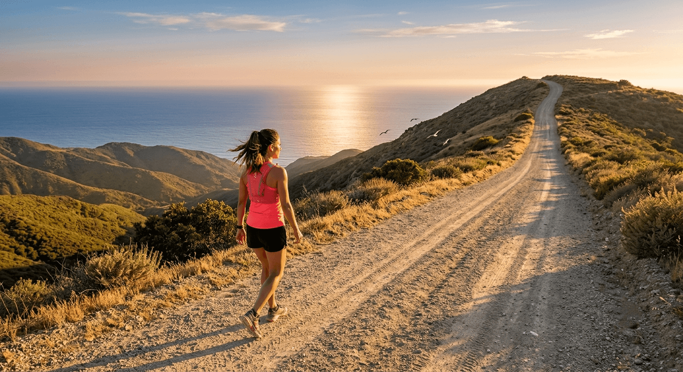
- The workout: Zuma Ridge, an exposed fire-road climb with the most continuous ocean views of any trail on this list.
- Significantly reduced right now: the Palos Verdes Bluffs at Abalone Cove, the tide pools and sea caves are closed due to an accelerating landslide, though the bluff-top loop remains open.
- This is the most beginner-friendly cluster in the whole LA County batch; nothing here approaches the difficulty of Mount Wilson or Icehouse Canyon in my San Gabriel Mountains post.
Quick-glance comparison
| Trail | Distance (RT) | Elevation gain | Current status |
|---|---|---|---|
| Solstice Canyon | 2.6–3.2 mi | ~500–700 ft | Open |
| Point Dume | 0.8–1.5 mi | ~100–350 ft | Open |
| Temescal Canyon | 2.6 mi (historic) | ~700 ft (historic) | Waterfall trail closed indefinitely |
| Zuma Ridge | 5.4–8 mi | ~1,390–1,600 ft | Open |
| Palos Verdes Bluffs (Abalone Cove) | ~1 mi (currently) / 2–3 mi (historic) | ~200–450 ft | Beach/tide-pool trails closed, bluff loop open |
Solstice Canyon: the gentlest trail on this list, ruins included
This is the one I send people to who want a real hike without real difficulty, and it’s shaded almost the entire way, which matters more on this list than you’d think.
Trailhead access: free NPS parking off Corral Canyon Road
Turn off PCH onto Corral Canyon Road, and the free National Park Service lot is immediately on your left. There’s no fee and no permit, a genuine rarity among LA’s coastal trailheads.
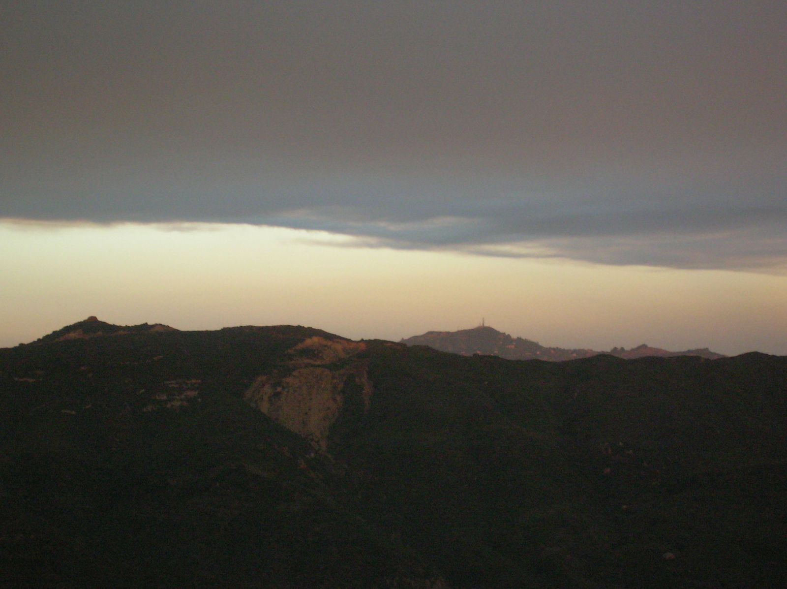
Difficulty, distance, and elevation gain on the Solstice Canyon loop
It’s 2.6–3.2 miles round trip with 500–700 feet of gain, almost entirely on a wide, mostly paved path, one of the most accessible trails in this entire LA County series, worth a look if you’ve read my guide to accessible hiking.
What you’ll see: two sets of ruins and a seasonal waterfall
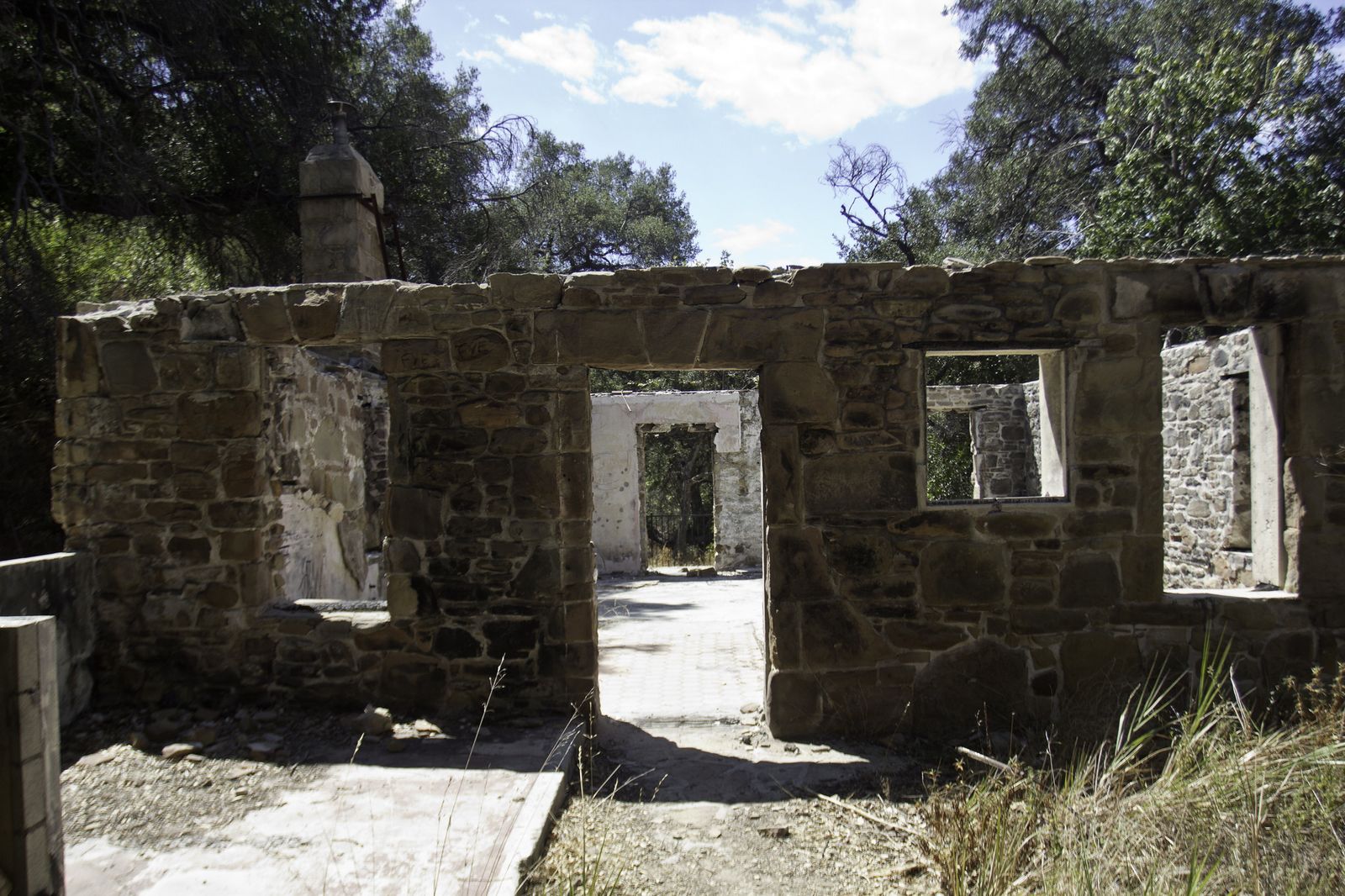
You’ll pass the Keller House ruins (a stone cabin burned in a 2007 fire) on the way to the more substantial Roberts Ranch House ruins, a 1952 modernist home designed by Paul Revere Williams that burned down in 1982. One correction worth flagging: the small waterfall behind the ruins isn’t year-round, as the heading file assumed; it’s rain-dependent, running strongest October through May and sometimes drying up completely by late summer.
Best time to hike Solstice Canyon: genuinely good most of the year
The shade cover makes this one of the few trails on this list that’s still reasonable in summer heat. Worth knowing: trailhead signage specifically calls out ticks, bees, and rattlesnakes along with poison oak, which is exactly the kind of wildlife hazard worth a quick read before you go if you haven’t hiked much chaparral terrain.
Point Dume: whale watching, tide pools, and the shortest hike on this list
Point Dume packs an outsized amount of scenery into well under a mile of walking, which makes it the easiest “yes” on this entire list for a short visit.
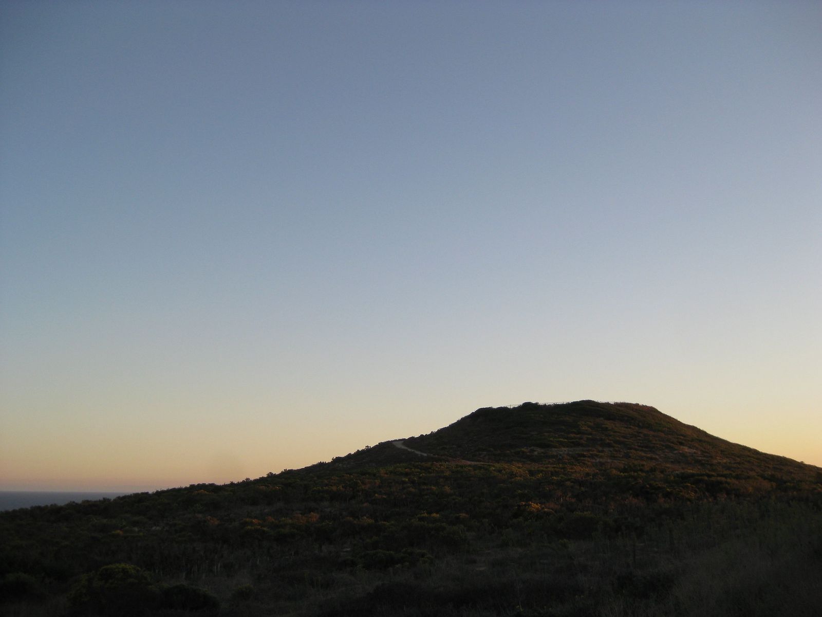
Trailhead access: the bluff-top lot is free, not paid
One correction here: the direct bluff-top parking area has free 2-hour parking, not a paid lot as the heading file assumed. The paid option is actually the fallback, Westward Beach, a short walk below, which fills in when the free spots at the top are gone.
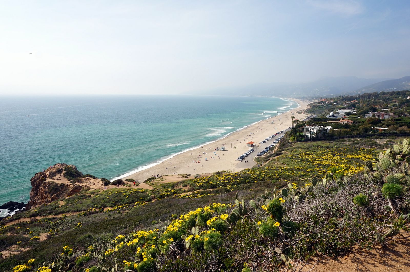
Difficulty, distance, and elevation gain on the headland loop
It’s a 0.8–1.5-mile loop with 100–350 feet of gain via a short boardwalk and staircase to the bluff top, the shortest, easiest trail in this entire coastal cluster.
What you’ll see: gray whales, tide pools, and sweeping Malibu coastline views
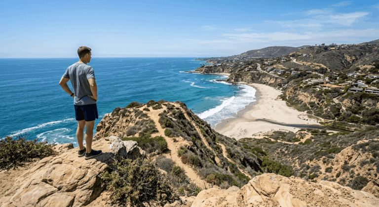
Point Dume sits on a genuine gray whale migration corridor, with the best sightings December through April. Tide pools at the base of the bluff add a second reason to visit, and dogs aren’t allowed on the trail or beach here, unlike some of the other trails on this list.
Best time to hike Point Dume: whale season versus low tide
December through April for whales, low tide for the pools below, two different clocks worth checking separately before you go.
Temescal Canyon: the park just reopened, but the waterfall trail didn’t
This is the trail on this list I most wish I had better news about. Temescal Gateway Park reopened to the public on July 17, 2026, after a year and a half of Palisades Fire recovery, but the specific trail to the waterfall remains closed.
Current access: what’s actually open at Temescal Gateway Park right now
The rebuilt Rivas Trail (to two scenic overlooks) and the Sunset Trail (connecting to Temescal Ridge Trail and Topanga State Park) are both open as of this reopening. The Temescal Canyon Trail to the waterfall, the specific hike this section is about, remains closed indefinitely, per the Santa Monica Mountains Conservancy, because fire damage left the trail unsafe.
Difficulty, distance, and elevation gain, for when the waterfall trail reopens
Historically, this was a 2.6-mile loop with about 700 feet of gain, canyon-to-ridge. I’ll update this the moment the closure lifts.
What you’ll see on the open trails right now: rebuilt overlooks and ridge views
The Rivas Trail’s two overlooks and the Sunset Trail’s ridge views toward Santa Monica Bay are both worth the visit even without the waterfall, genuinely one of the better recovery stories in this fire-affected stretch of coastline, based on how much work went into the trail rebuilding here.
Best time to visit Temescal Gateway Park while the waterfall trail is closed
Any time the park’s open, honestly, just don’t plan your visit around the waterfall until this trail specifically reopens. I’ll flag it here as soon as it does.
Zuma Ridge: the real workout, and the most continuous ocean view on this list
If you want a genuine climb without leaving the coast, this is it: an exposed fire road with almost no shade and a payoff view that doesn’t quit.
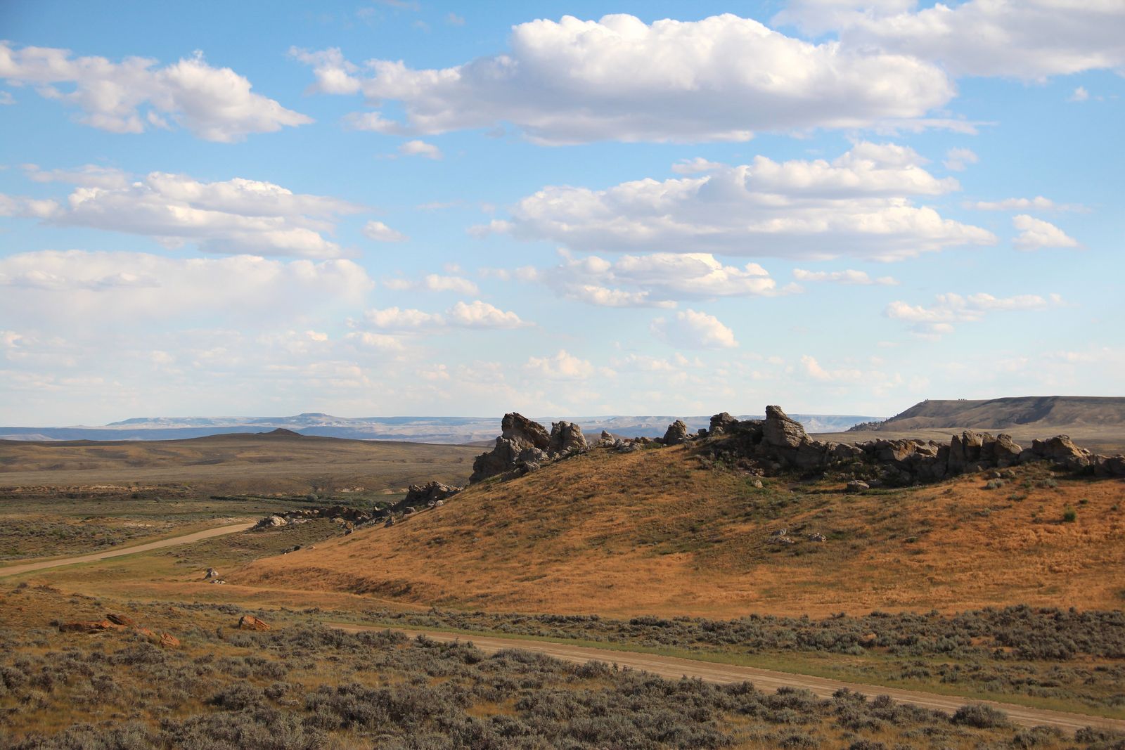
Trailhead access: the Busch Drive dirt lot, not Encinal Canyon Road
One correction here: the main trailhead is the free dirt parking lot at the end of Busch Drive, off PCH, not Encinal Canyon Road, which is actually the far end of an extended version of this hike, several miles up the ridge.
Difficulty, distance, and elevation gain on the Zuma-Edison fire road
The standard turnaround at the Zuma-Edison Road junction makes this a 5.4-mile round trip with about 1,390 feet of gain. Push further toward Encinal Canyon Road, and you’re looking at 8 miles or more, with proportionally more climbing.
What you’ll see: uninterrupted Santa Monica Mountains and Pacific views
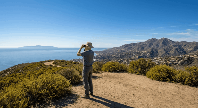
This is the most continuously scenic ridge walk in this cluster, long views west of Trancas Canyon and out over the Pacific for nearly the entire climb.
Best time to hike Zuma Ridge: early, for the sun exposure
There’s essentially no shade on this fire road. Morning marine layer can actually work in your favor here; it’s exactly the kind of coastal weather pattern worth understanding before you commit to an exposed climb like this one.
Palos Verdes Bluffs at Abalone Cove: the tide pools are closed, the bluffs aren’t
This is the most complicated trail on this list right now, and it’s worth understanding why before you drive down.
Current access: an accelerating landslide, not a routine closure
As of May 2026, the City of Rancho Palos Verdes closed Abalone Cove Beach, Sacred Cove Beach, and all beach-access trails in the reserve. This is due to the Portuguese Bend Landslide complex, which has moved roughly 7 feet in the past 15 months and is actively accelerating. The parking lot and a short bluff-top loop of about a mile remain open; the tide pools, sea caves, and the trails down to them do not.
Difficulty, distance, and elevation gain on what’s currently open
The open bluff-top loop runs about a mile with modest elevation change. The full historic route to the tide pools and Inspiration Point ran 2–3 miles with 200–450 feet of gain, worth knowing for whenever the closure lifts, but not currently hikeable.
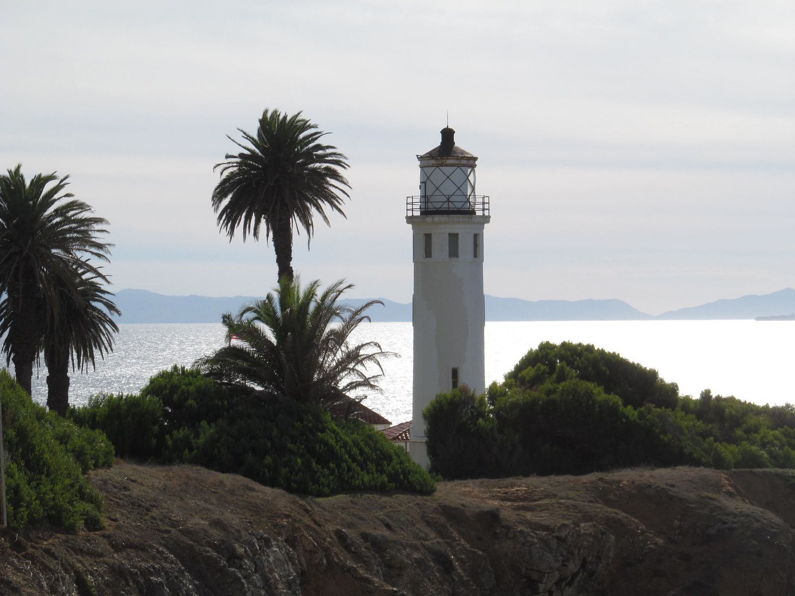
What you’ll see on the open bluff loop: ocean views toward the Point Vicente Lighthouse
Even without beach access, the bluff-top loop still delivers views toward the distant Point Vicente Lighthouse and out across the Catalina Channel, genuinely worth the trip on its own. If you want the right footwear for scrambling terrain like this whenever the lower trails do reopen, my hiking boots guide covers coastal terrain specifically.
Best time to visit Abalone Cove while the landslide closure is active
Check rpvca.gov/trailalerts before you go. This is an active geological event, not a fixed date, so conditions can change with little notice.
Which of these five to actually hike
If you want a sure thing, Solstice Canyon and Point Dume are both fully open and require almost no planning. Zuma Ridge is the one to save for a clear morning when you actually want the climb. Temescal Canyon and Abalone Cove are both worth visiting for what remains open; just don’t build your whole trip around their headline features until the closures lift. I’ll update both sections the moment they do.
If none of this has quite enough elevation for you, my Malibu Canyon Hiking Guide as well as my hidden gem and waterfall guides for LA County are worth a look next.
Frequently asked questions
What are some good hiking trails in Malibu, California?
Solstice Canyon, Point Dume, and Zuma Ridge are all currently open and represent three very different experiences, shaded and easy, short and wildlife-focused, and an exposed ridge workout, respectively.
Is Solstice Canyon Trail dog-friendly?
Yes, dogs are allowed on leash throughout Solstice Canyon. Point Dume, by contrast, doesn’t allow dogs on its trail or beach.
Do you need a permit to hike the Palos Verdes coastal trails?
No permit is required, but as of mid-2026, most of Abalone Cove’s beach-access trails and tide pools are closed due to an accelerating landslide; check the city’s current trail alerts before visiting.
Are Malibu hiking trails ever closed for wildfire or storm damage?
Yes, and it’s worth checking before any visit right now, specifically. Temescal Canyon’s waterfall trail remains closed following the 2025 Palisades Fire, even though the surrounding park has reopened, and terrain damage like this is common after major Southern California fire seasons.
Can you see whales or dolphins while hiking the Palos Verdes bluffs?
Yes, the bluff-top areas that remain open at Abalone Cove still offer whale-watching during the December–April gray whale migration, along with regular dolphin sightings year-round.
What’s the easiest coastal hike between Malibu and Palos Verdes?
Point Dume, at well under a mile round trip with minimal elevation gain, though Solstice Canyon runs a close second if you want a slightly longer, more shaded walk.